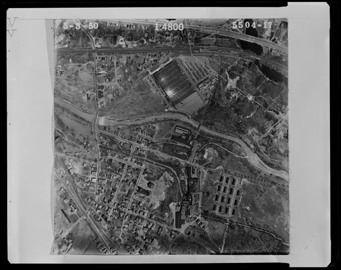
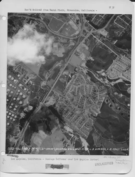
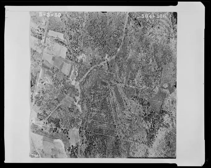
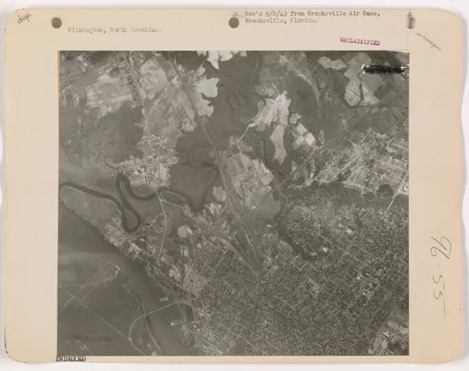
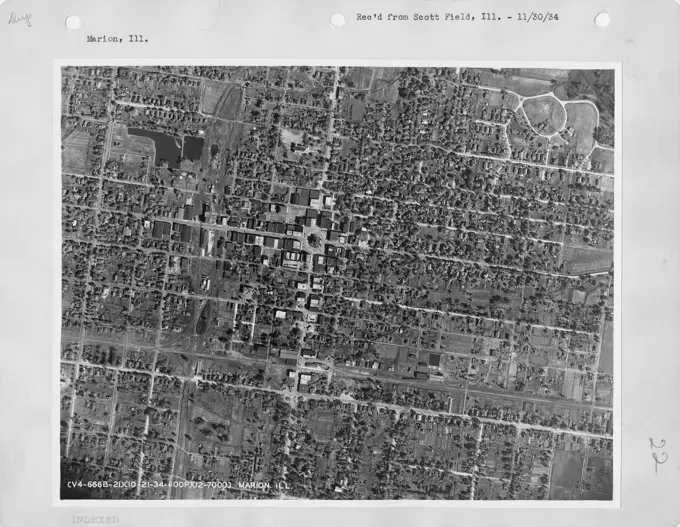
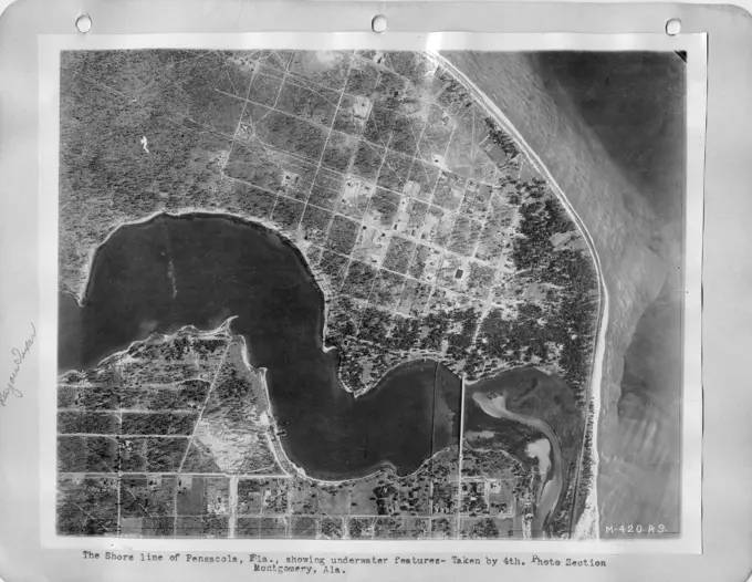
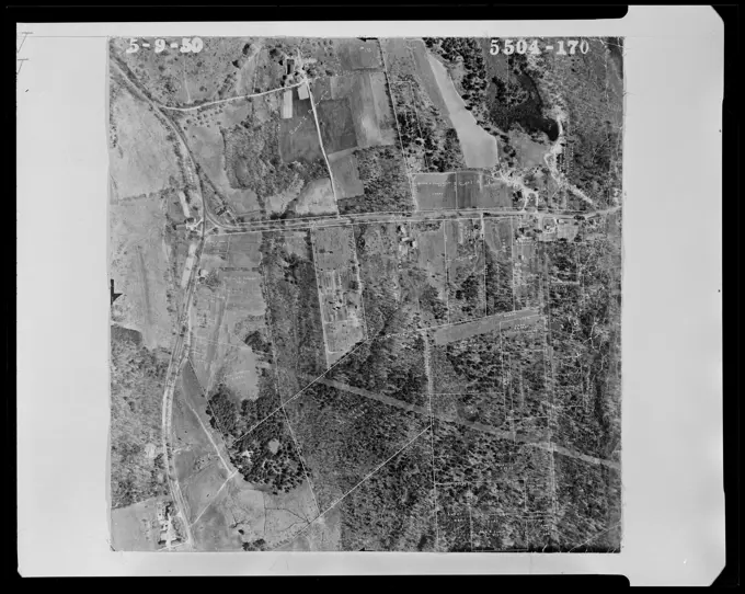
Aerial Mapping and Land Use
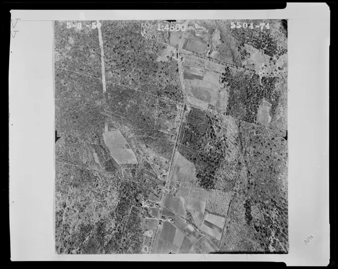
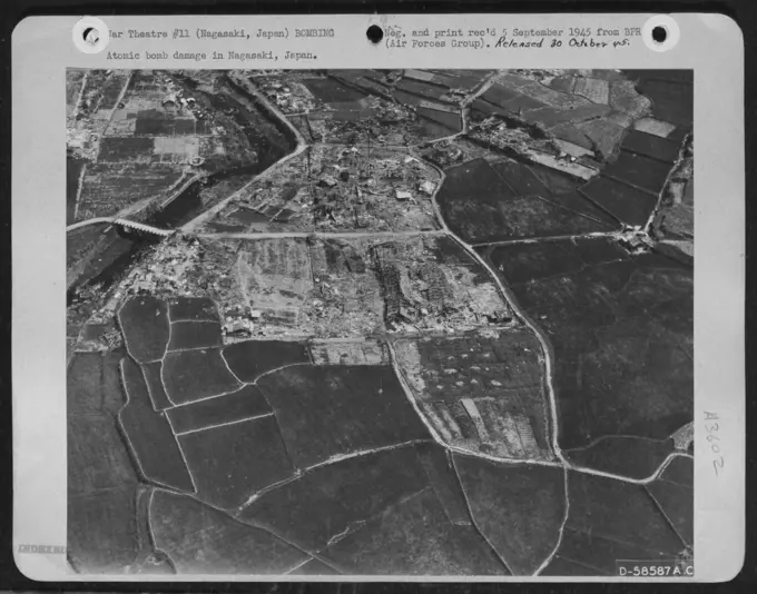
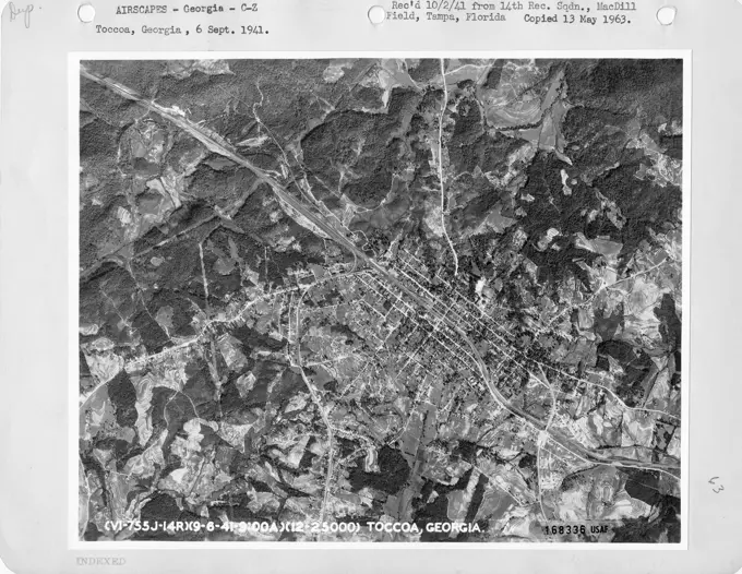
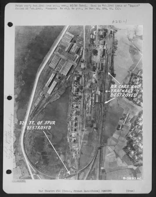
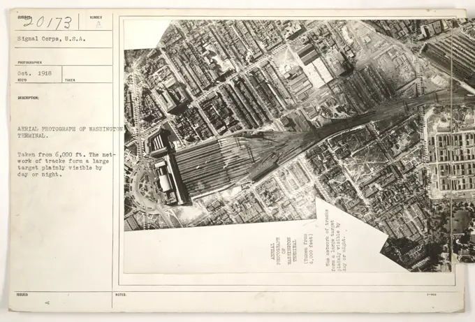
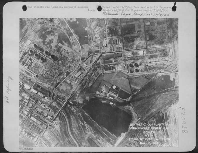
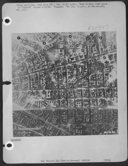
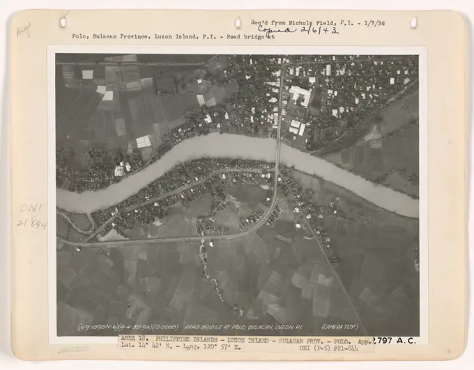
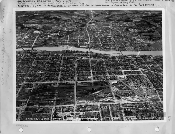
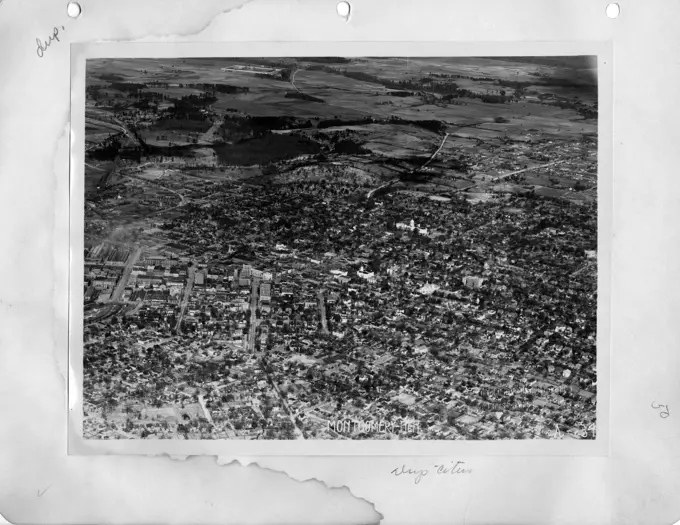
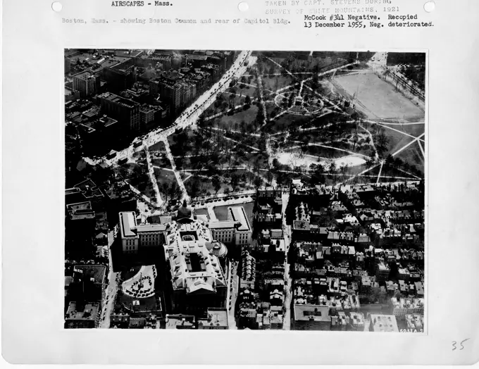
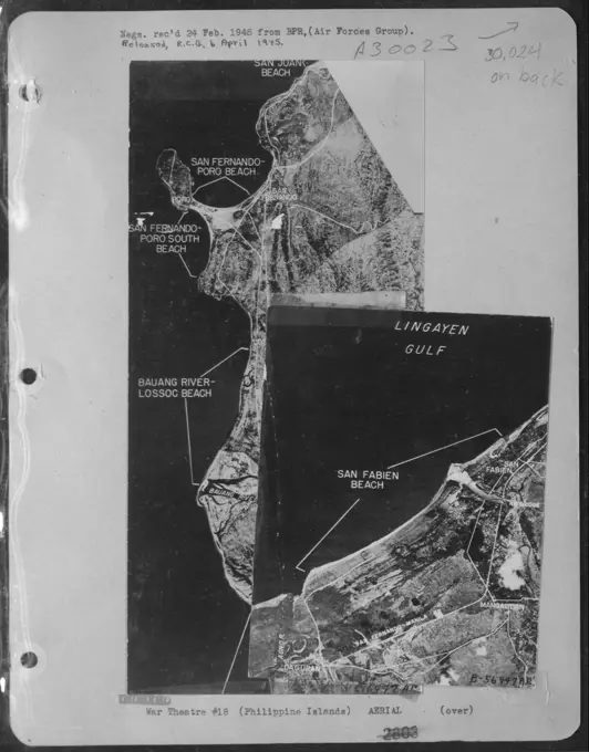
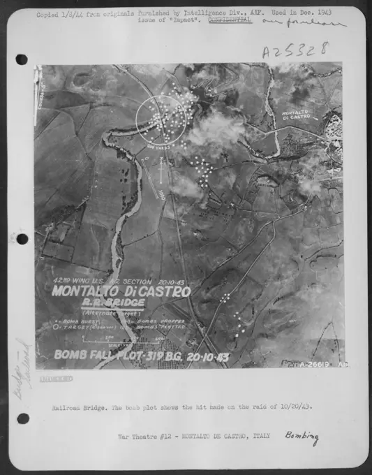
Aerial photographs showcasing land subdivisions and damage assessments in various locations, including Massachusetts and Japan, emphasizing geographical features.
Aerial photographs showcasing land subdivisions and damage assessments in various locations, including Massachusetts and Japan, emphasizing geographical features.