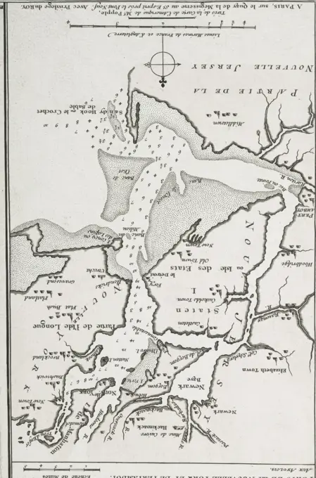
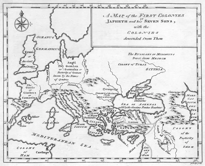
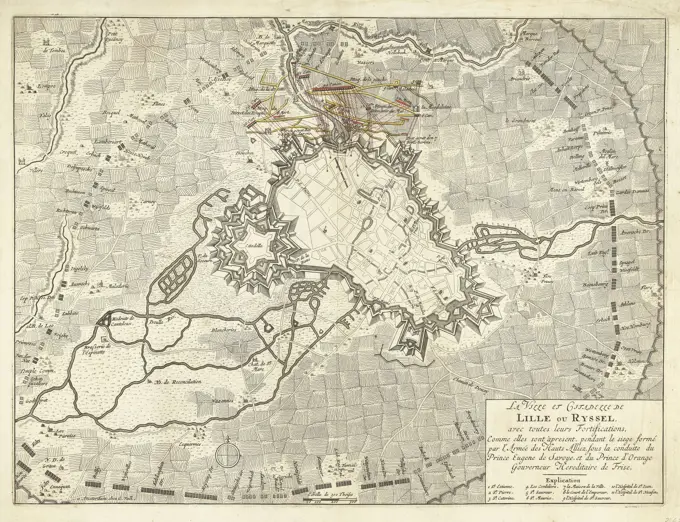
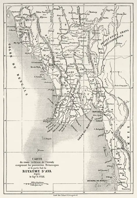
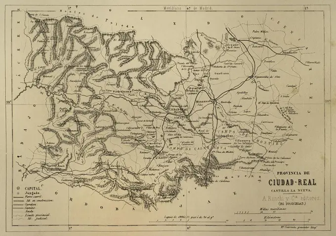
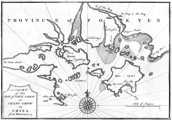
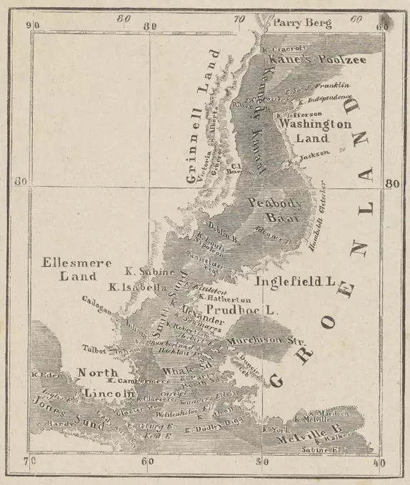
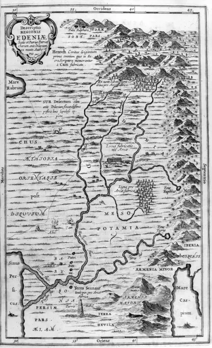
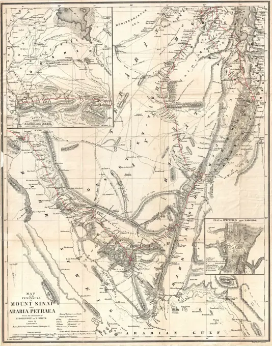
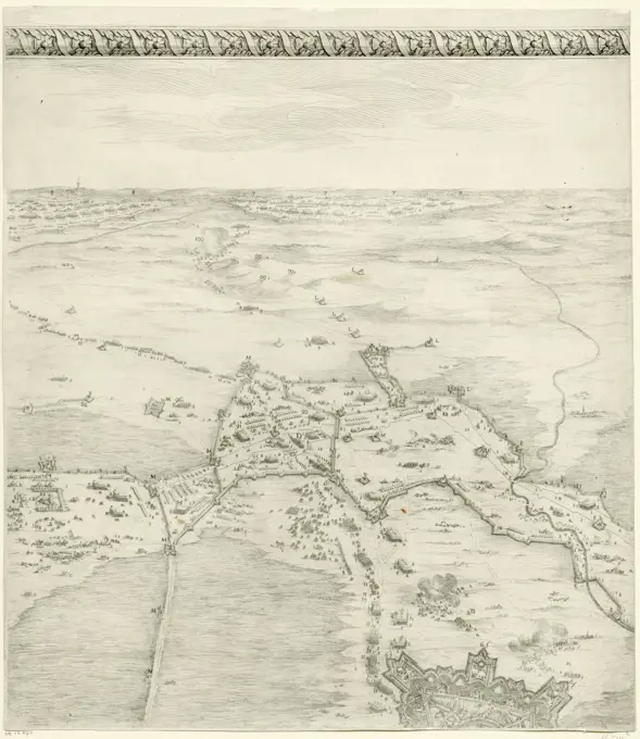
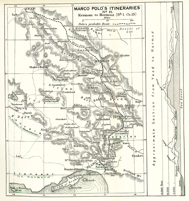
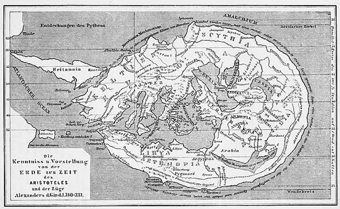
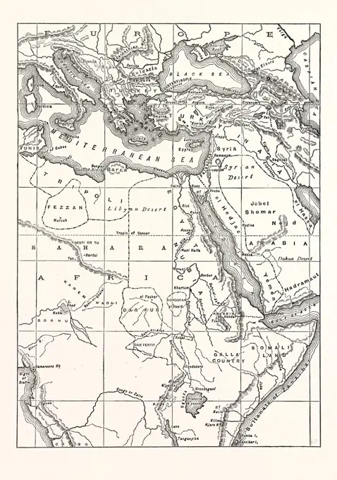
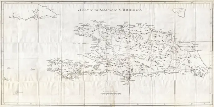
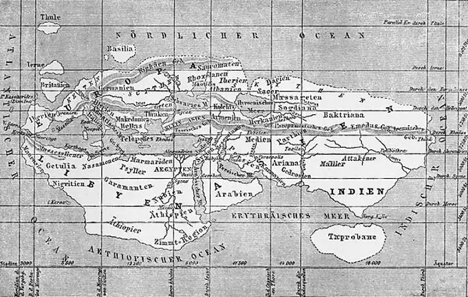
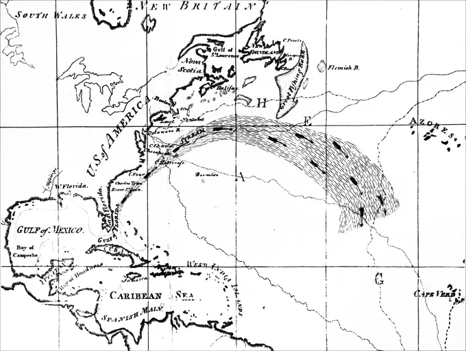
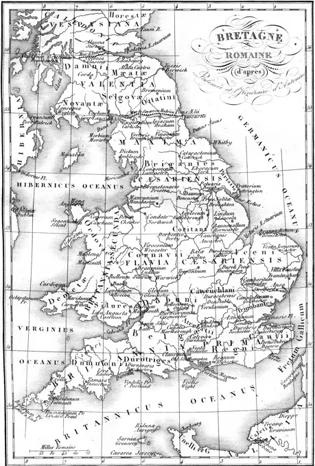
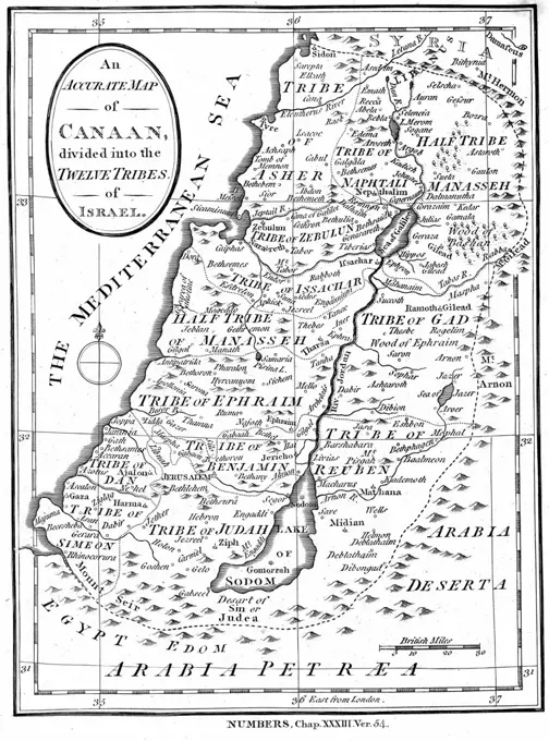
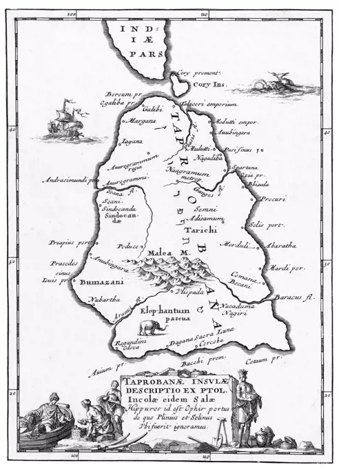
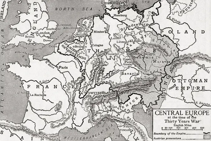
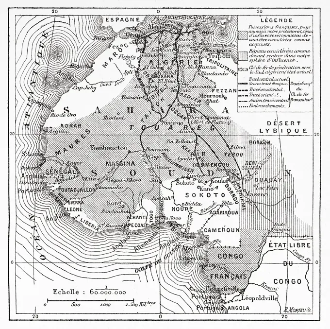
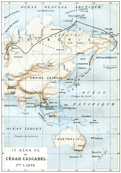
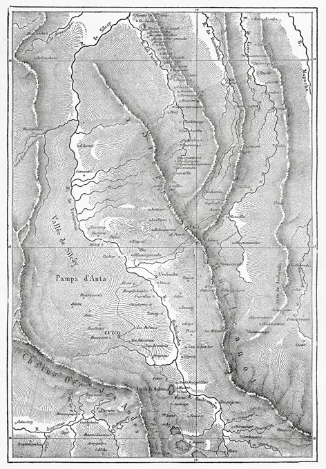
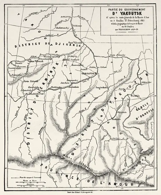
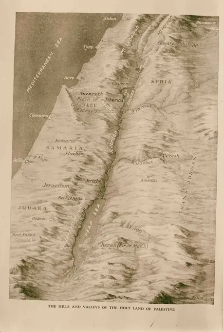
Antique Cartographic Maps

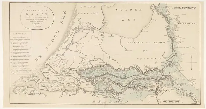
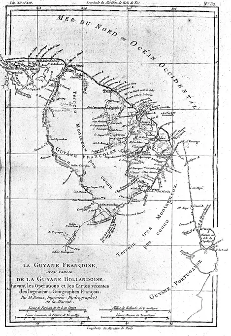
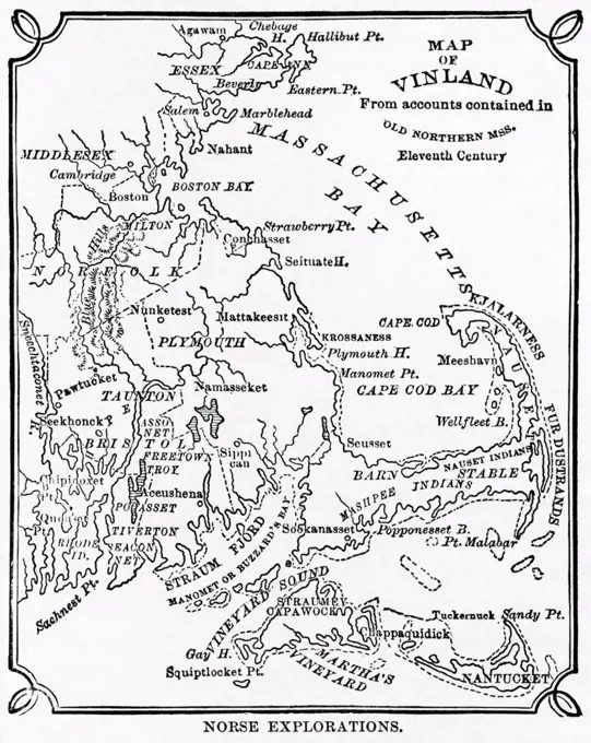
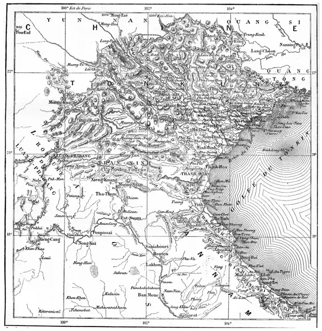
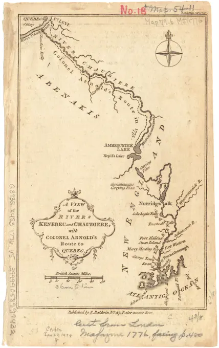
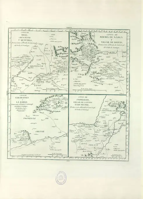
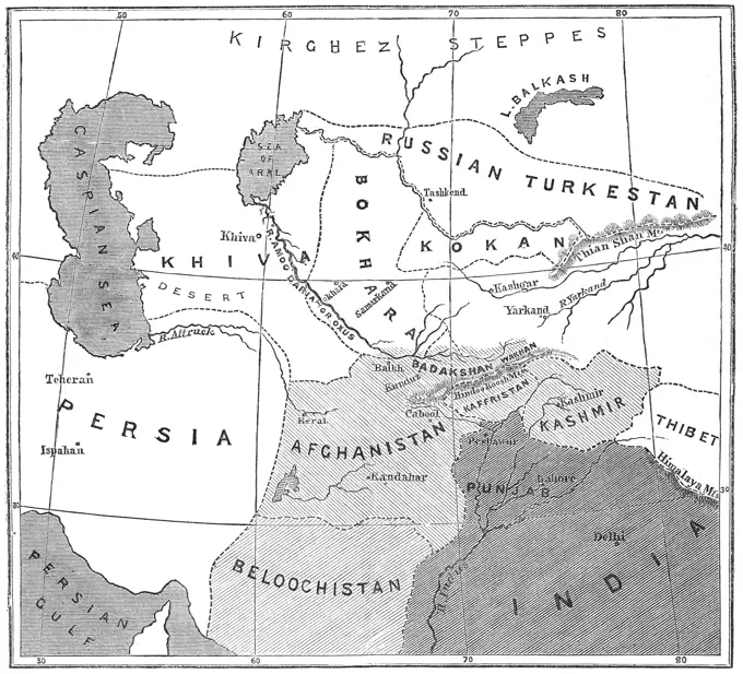
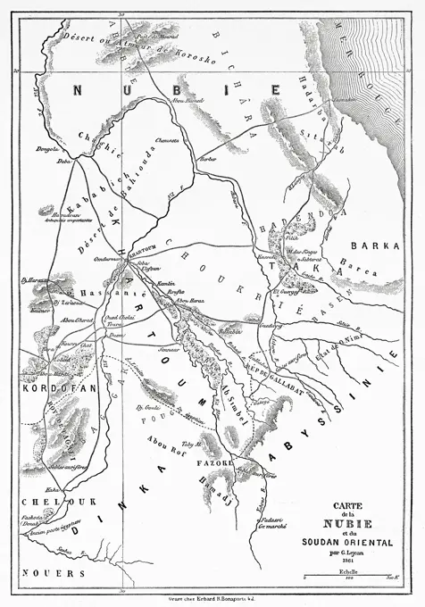
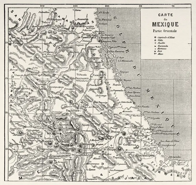
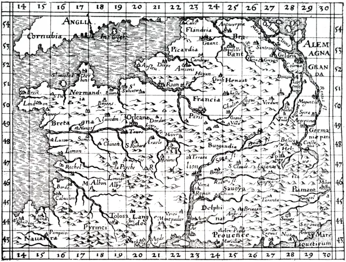
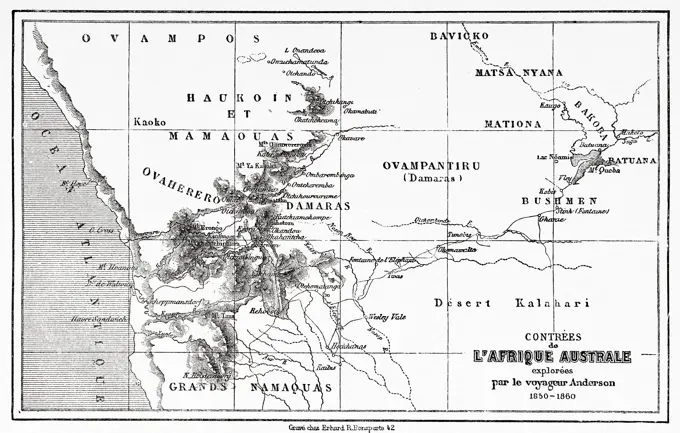
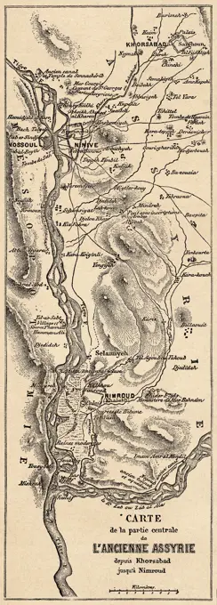
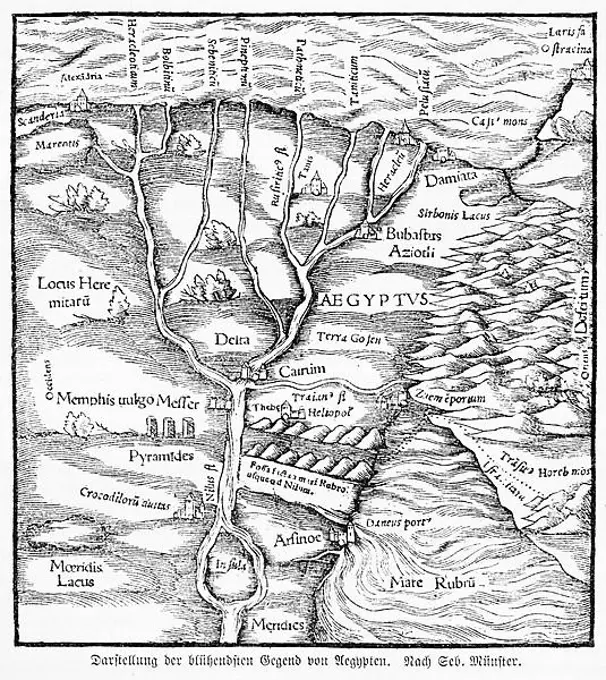
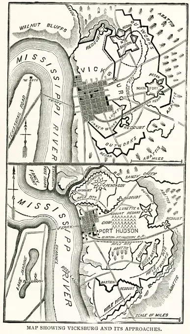
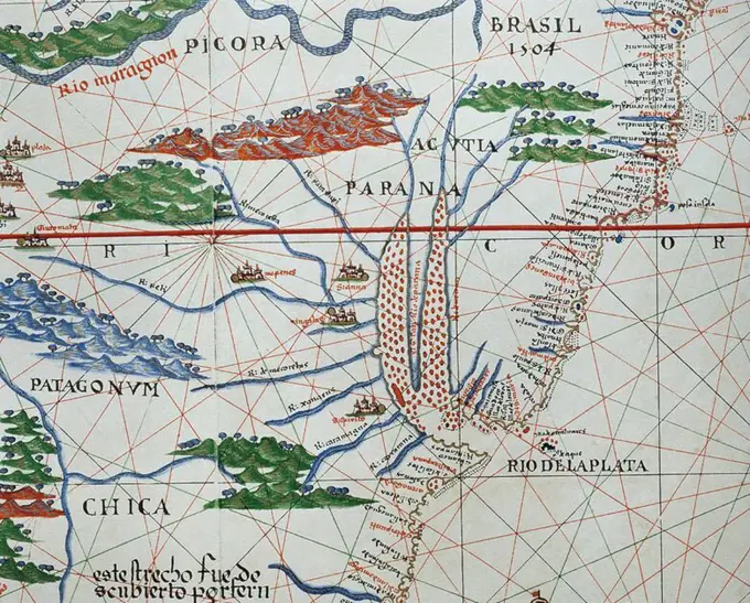
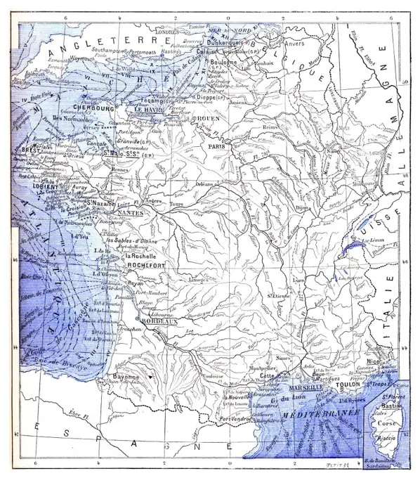
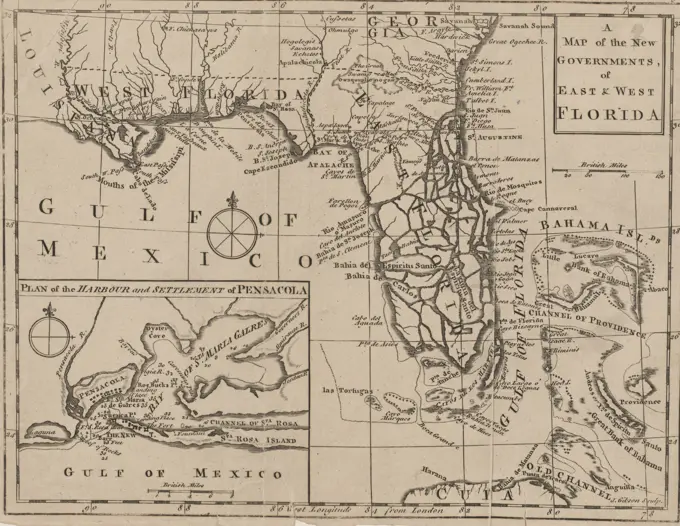
Vintage maps illustrating territories, waterways, and agricultural regions across North America and Europe with intricate engravings and historical significance.

A map from 1763 depicting the new governments of East and West Florida. The map is printed in London and measures 18 x 25 cm, with the NYPL Map Division's copy pasted onto a larger sheet measuring 31 x 36 cm. The map indicates notable locations, including Pensacola Bay and surrounding regions such as Mexico and the Gulf of Mexico. The publisher is not identified