Fine ArtVintageFootageSubscriptionBoardsFree ResearchPricing
  • Fine Art
  • Vintage
  • Footage
  • Subscription
  • Boards
  • Free Research
  • Pricing

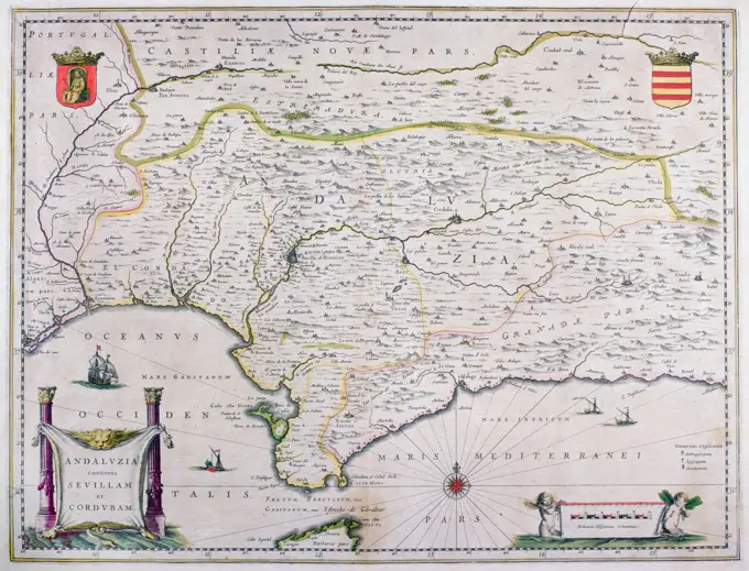
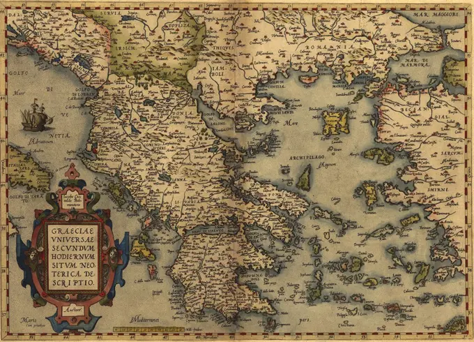
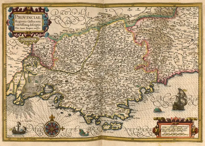
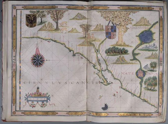
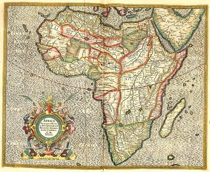
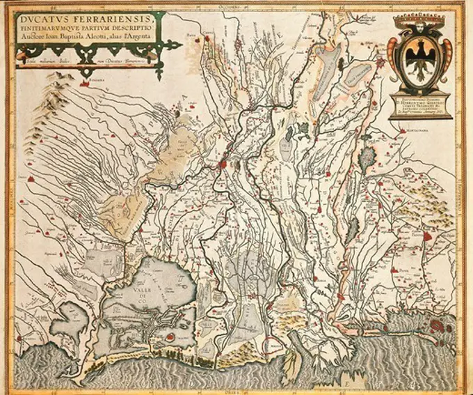
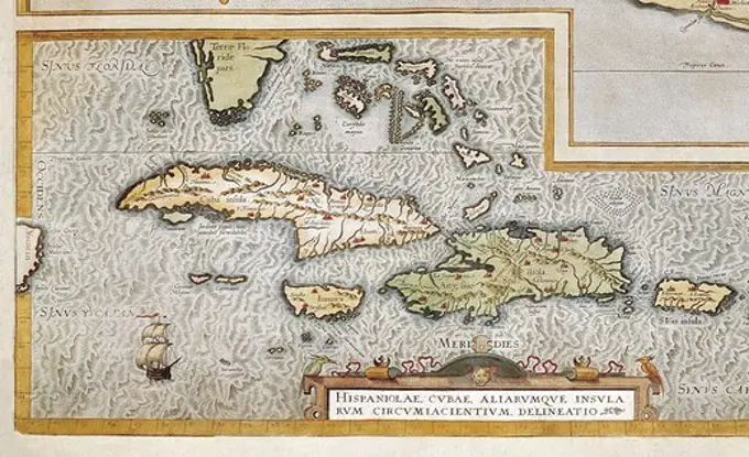
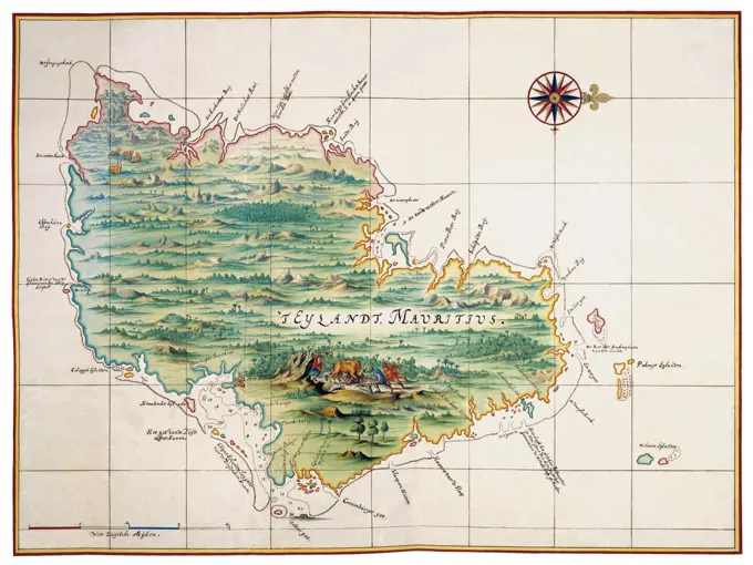
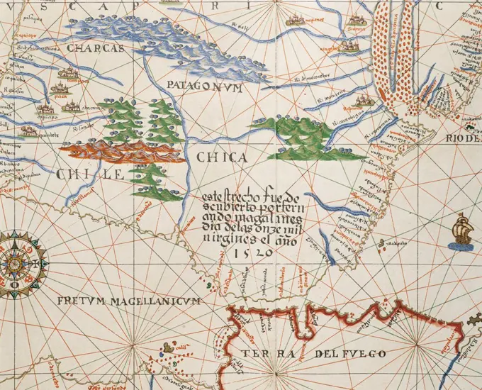
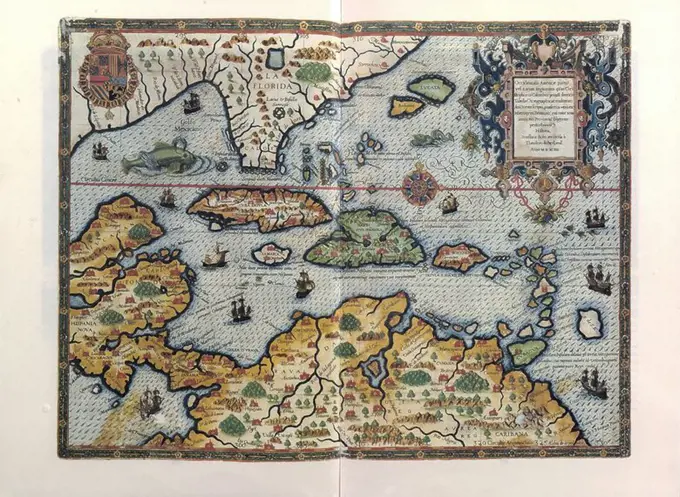
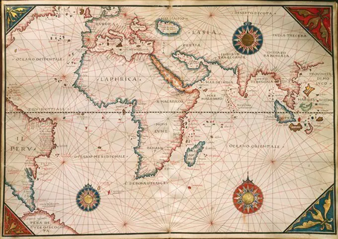
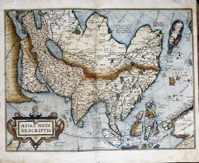
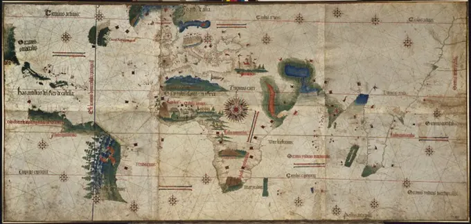
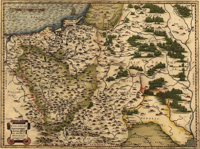
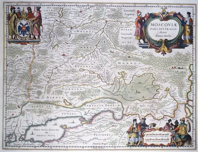
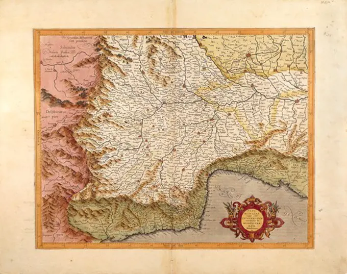
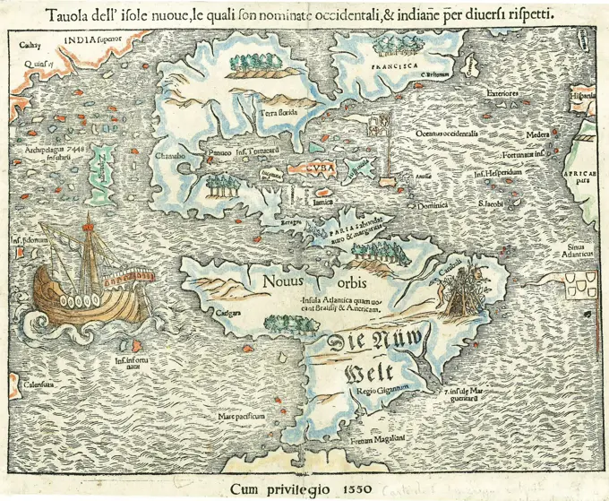
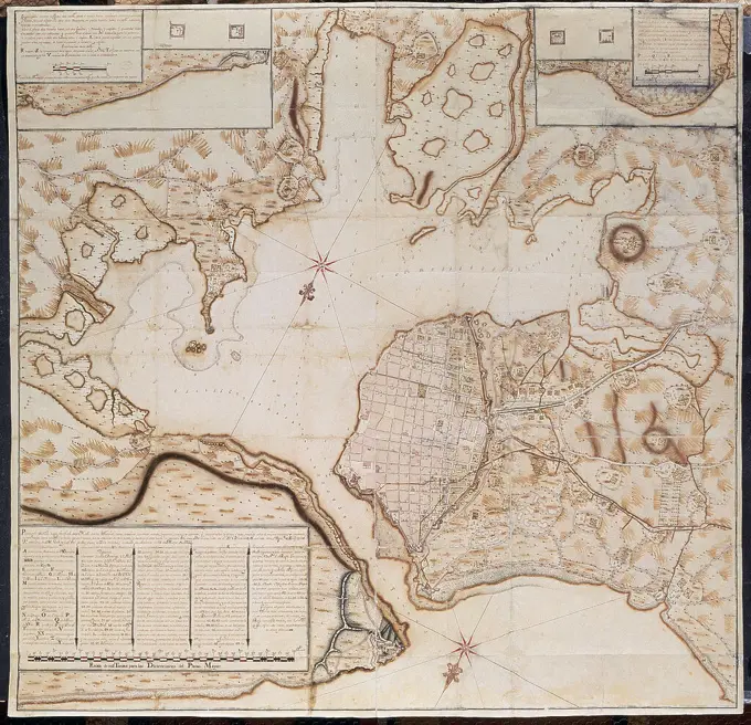
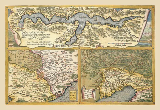
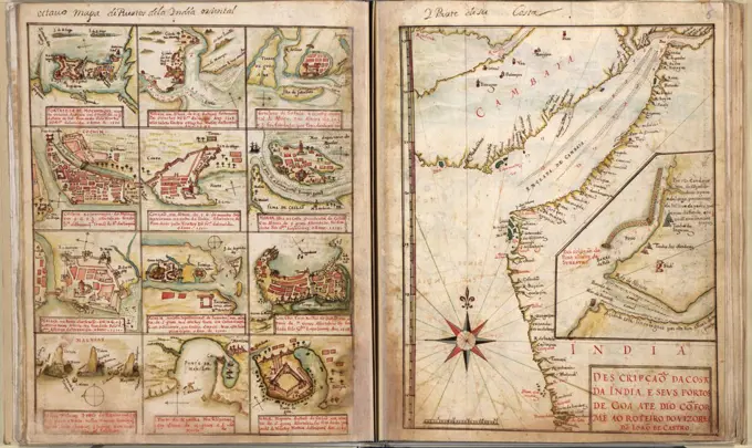
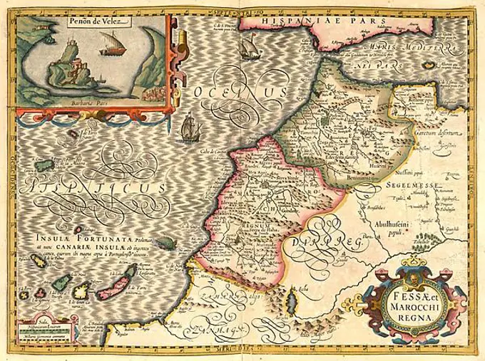
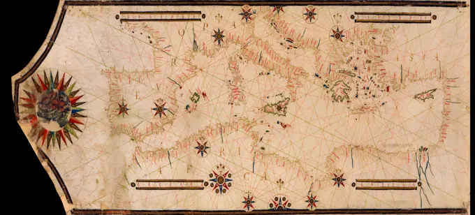
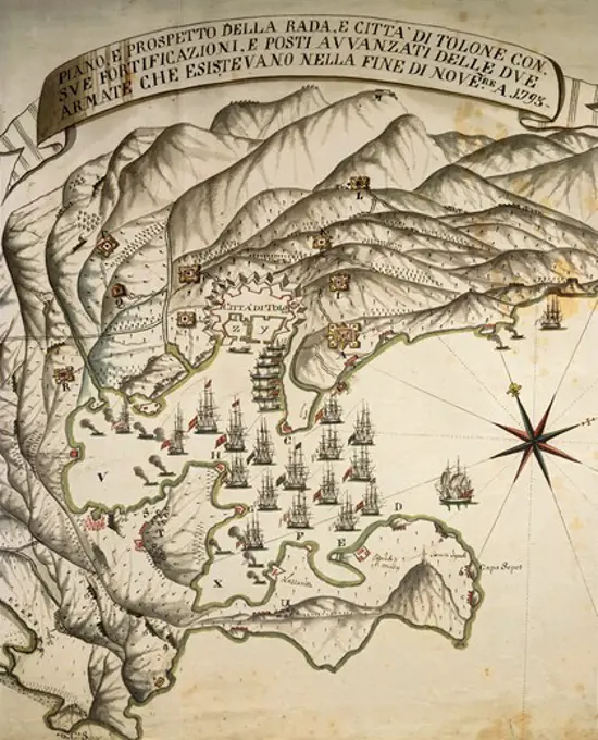
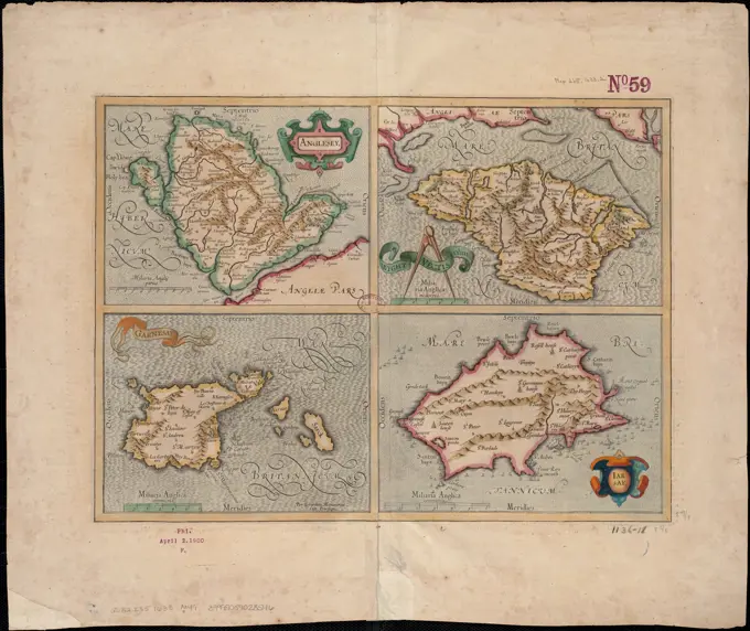
Antique Geographic Maps

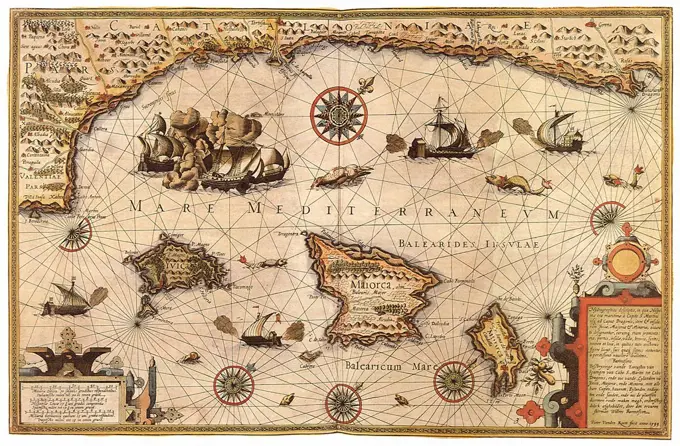
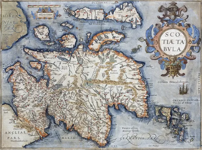
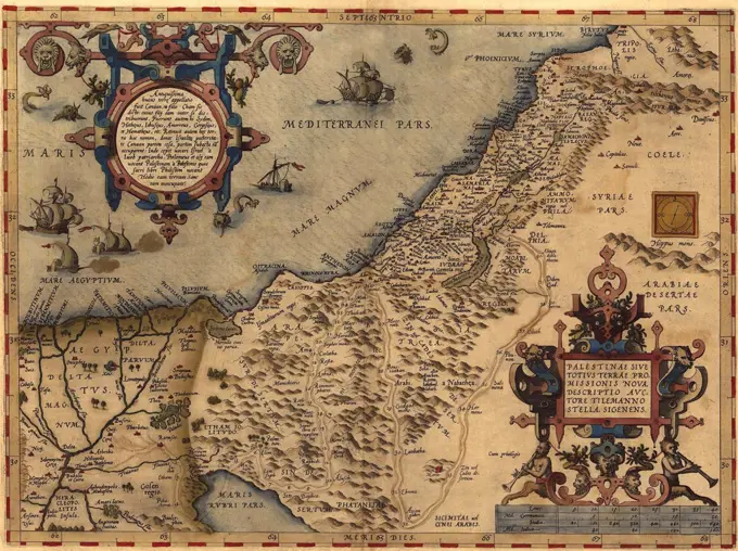
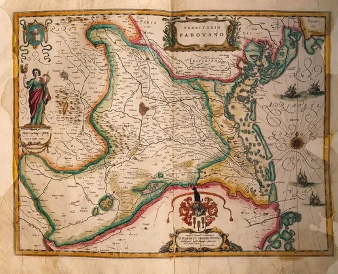
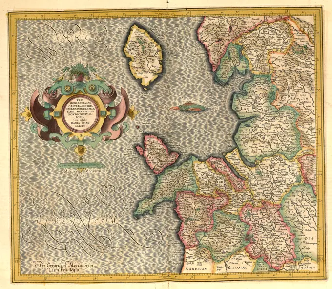
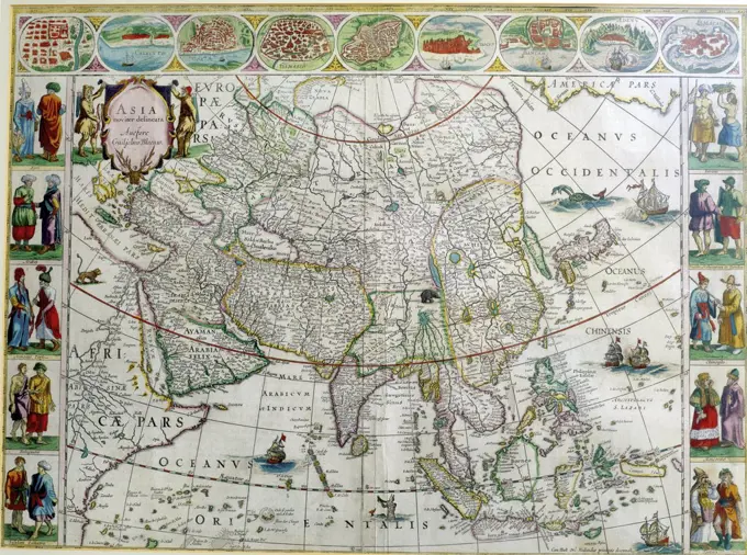
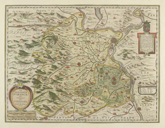
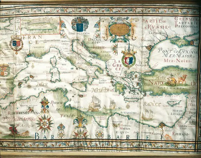
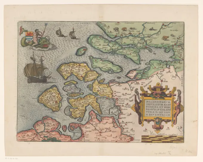
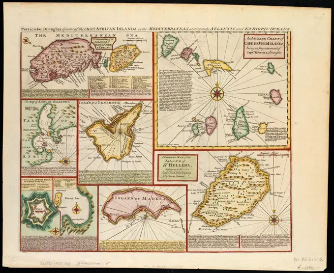
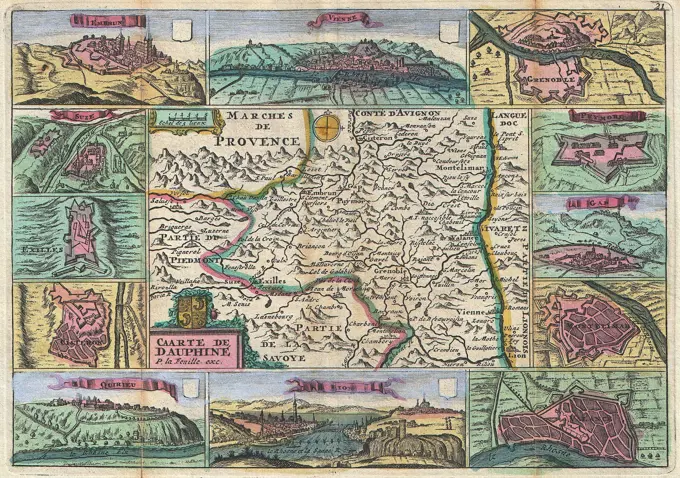
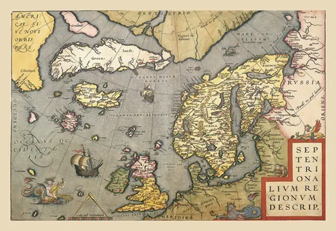
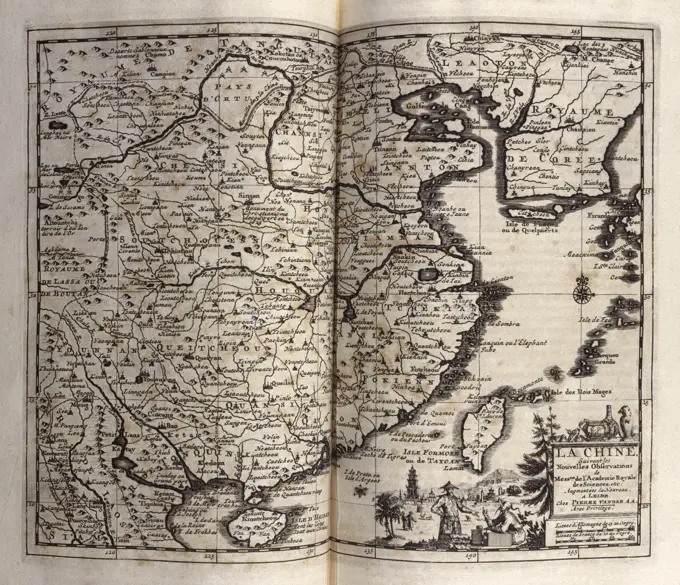
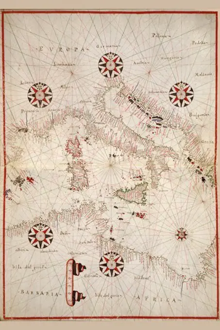
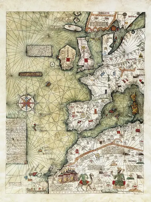
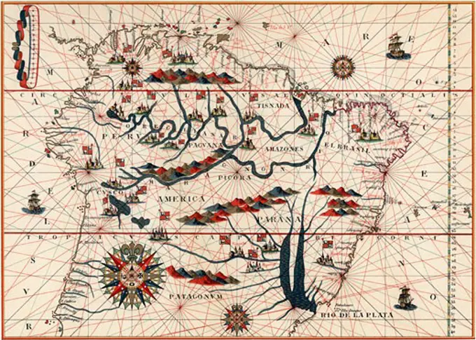
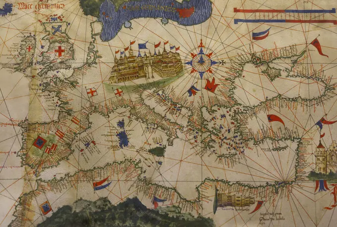
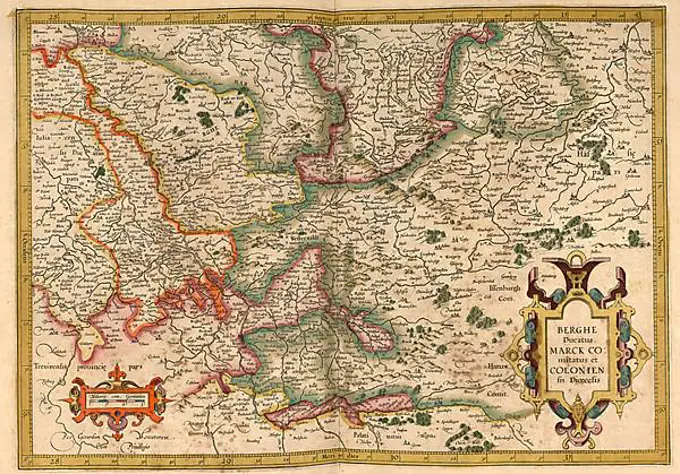
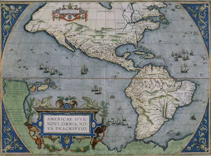
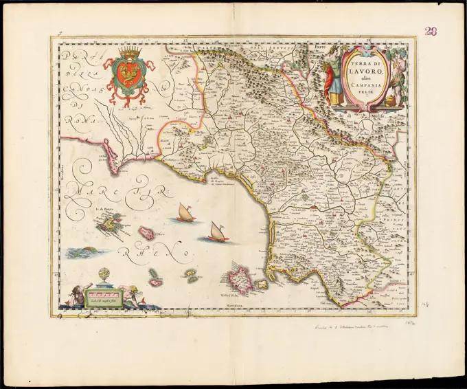
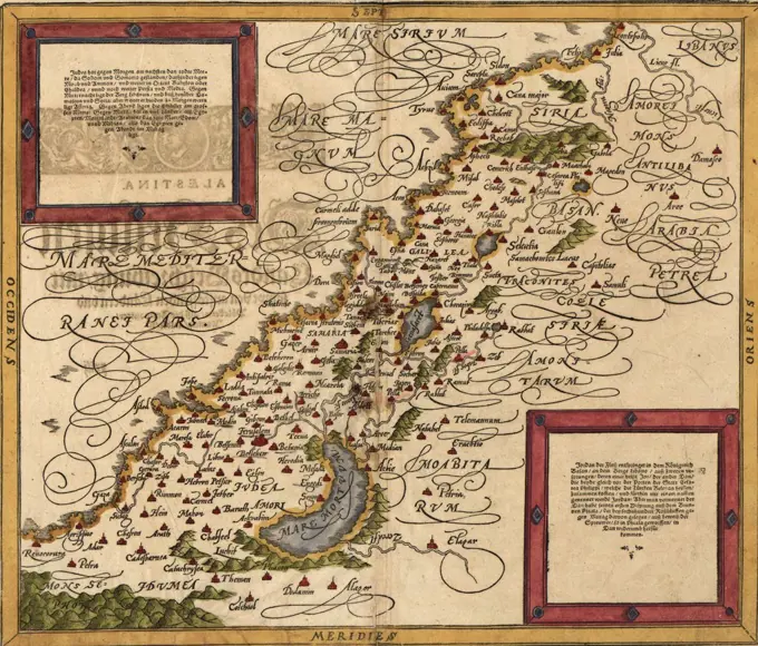
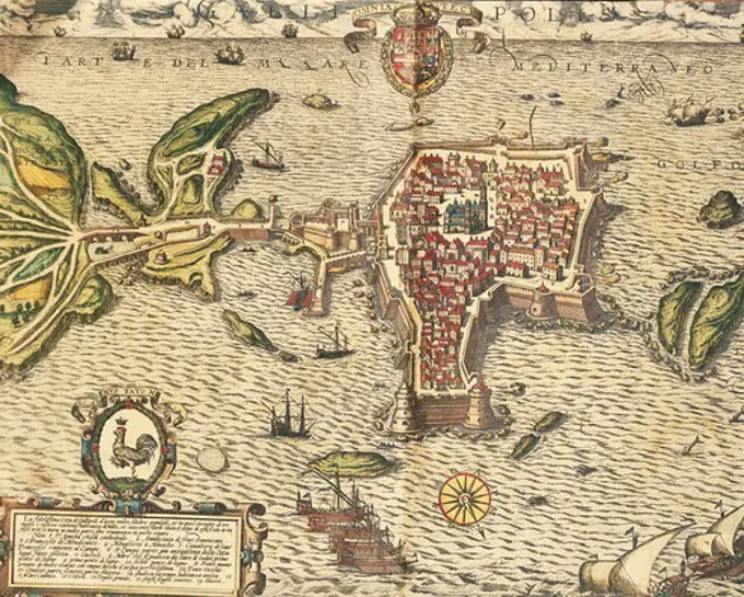
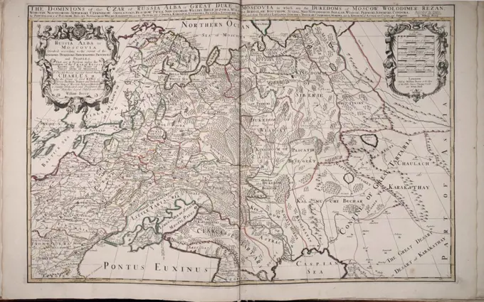
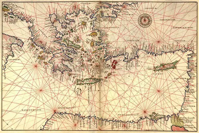
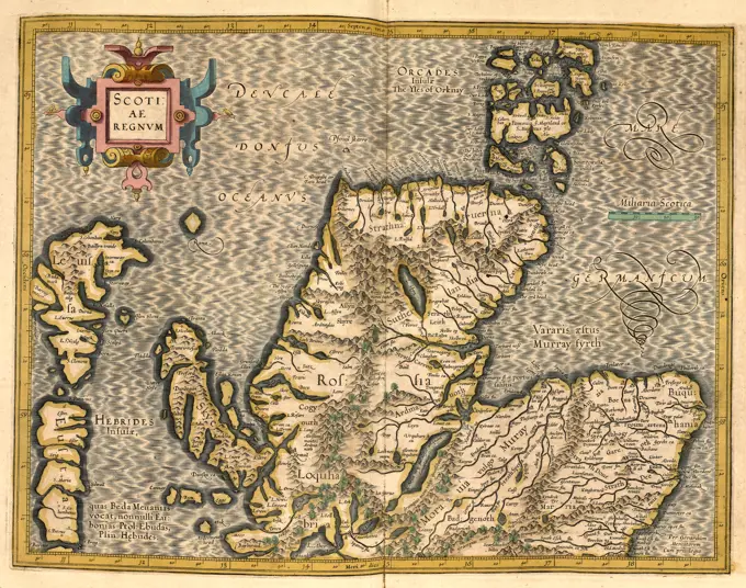
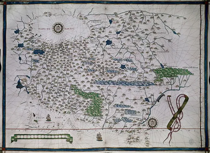
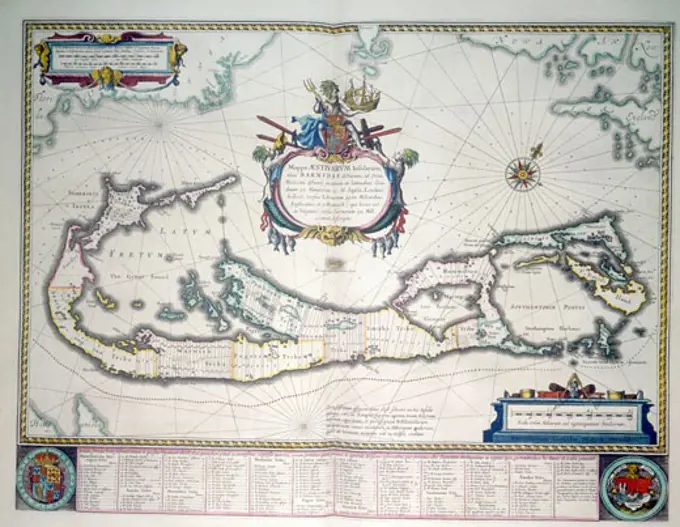
Historical maps from various centuries depicting regions including Palestine and Sicily, rich in detail and color.

Map Of Scotland C.1590
185 assets in this story
4048-5406
1570 map of Palestine, from Abraham Ortelius' atlas, 'Theatrvm orbis terrarvm'(Epitome of the Theater of the Worlde).
1788-36593
Cartography,18th century. Map of the city of Como and its sourroundings, 1704.
6145-51387391
Septima Asiae tabula , Tajikistan, Maps, Early works to 1800, Kyrgyzstan, Maps, Early works to 1800, Turkmenistan, Maps, Early works to 1800, Uzbekistan, Maps, Early works to 1800, Kazakhstan, Maps, Early works to 1800 Norman B. Leventhal Map Center Collection
6145-59584698
Map of Friesland and Groningen, in or after 1677 print At the top left title cartouche, bottom left legend. At the bottom right two scale sticks: Milliaria Germanica Communia 15 Uni Grad:, Milliaria Belgica sive hore itineris. In addition, two female figures, one of which holds the horn of abundance, and two putti. Degree distribution along the edges.  paper engraving / etching maps of separate countries or regions Friesland
6145-55913683
La Florida. Relief shown pictorially. In lower left corner of plate is date 1574. One of the three maps on this sheet. Latin text on verso. Appears in Ortelius' Theatrvm Orbis Terrarvm. Antverpiæ : Christophorum Plantinum, 1579... Pervviæ avriferæ regionis typis Gvastecan Reg. Pervviæ avriferæ regionis typis Gvastecan Reg, Peru Florida Mexico
6145-51391632
Boston (Massachusetts) and vicinity : a pictorial map , Boston Mass., Maps Norman B. Leventhal Map Center Collection
1899-48156401
Atlas, map from 1623, Germany, digitally restored reproduction from an engraving by Gerhard Mercator, born as Gheert Cremer, March 5, 1512 - December 2, 1594, geographer and cartographer.
4409-21347995
MAPA DE LA BAHIA DE CADIZ GUIPUZCOA Y MADRID  1584. Author: Abraham Ortelius (1527-1598). Location: SERVICIO GEOGRAFICO DEL EJERCITO.
463-3648
Map Of Scotland C.1590
1899-18437
Map of Andalusia Spain by Willem and or Joannes Blaeu published Amsterdam 1640
4048-5423
1570 map of  Greece, then under the rule of the Ottoman Empire. From Abraham Ortelius, Theatrvm orbis terrarvm.
1899-48156366
Atlas, map from 1623, Provence, France, digitally restored reproduction from an engraving by Gerhard Mercator, born as Gheert Cremer, March 5, 1512 - December 2, 1594, geographer and cartographer.
4409-19710
ATLAS PORTULANO - 1568 - MAPA DE CALIFORNIA - FOL 8. Author: FERNAO VAZ DOURADO (1520-1580). Location: PRIVATE COLLECTION. MADRID. SPAIN.
1899-48156378
Atlas, map from 1623, Lorraine, France, digitally restored reproduction from an engraving by Gerhard Mercator, born as Gheert Cremer, March 5, 1512 - December 2, 1594, geographer and cartographer.
1788-35897
Cartography, Italy, 17th century. Map of Paduan domain, from Theatrum civitatum et admirandorum Italiae by Joan Blaeu. Engraving.
1899-48156334
Atlas, map from 1623, West of England, Isle of Man, digitally restored reproduction from an engraving by Gerhard Mercator, born as Gheert Cremer, March 5, 1512 - December 2, 1594, geographer and cartographer.
1288-1446
Close-up of the map of Asia, Joan Bleau, 1630
6145-55913275
America, siue, India Nova : ad magnae Gerardi Mercatoris aui vniversalis imitationem in compendium redacta. Relief shown pictorially. Includes notes and decorative floral border. Ancillary maps: Golfo Mexicano -- Cvba -- Haiti nunc Hispaniola. Text on verso: L'Ameriqve, p. 69 and 72. Signature: S; catchword: niola. From the 1633, 1635, or 1639 edition of Atlantis Pars Altera. Text of map in Latin; text on verso in French... America, sive, India Nova. America, sive, India Nova, North and Central America South America Mesoamerica  ,area  North America  ,area  South America America
6145-59584520
Map of the Republic of the Seven United Netherlands, c. 1665 print At the top left cartouche with title. Above the cartouche the weapon of the Republic, Left Minerva and Mars, on the right Neptunus and Mercury. At the bottom right a cartouche with a bet card from a part of the current Limburg (part that belonged to Staats-Brabant at the time). Below that a bowl: Milliaria Germanica Communia and Milliaria Gallica Communia. Degree distribution along the edges.  paper engraving / etching maps of separate countries or regions. coat of arms (as symbol of the state, etc.). (story of) Minerva (Pallas, Athena). (story of) Mars (Ares). (story of) Neptune (Poseidon). (story of) Mercury (Hermes)
4443-73237046
Amsterdam, Hondius, Henricus, Jodocus (III), Chieze, Jacques de, Northern Netherlands, Hamersvelt, Evert Simonsz, La Principauté d'Orange et Comtat de Venaissin, Map of the principality of Orange, 1627, Map of the principality of Orange and the county of Venaissin, 1627. On the right a cartouche with the dedication to Frederik Hendrik. Printed on the back with text in German (doubled)., print, image, map, prints, Frederik Muller Historieplaten, height 380 mm, width 500 mm, 1591, print maker, printmaker, 1627 - 1627, second quarter 17th century, paper, etching, etchings, engraving, engraving (printing process), hand colouring, Work conception, after a print by, Publication (Event), Publication, Dutch, 1622 - 1655, publisher, 1597 - 1651-08-16
1848-49453894
Atlas, map from 1623, South Pole, Antarctica, Tierra del Fuego, digitally restored reproduction from an engraving by Gerhard Mercator, born as Gheert Cremer, 5 March 1512, 2 December 1594, geographer and cartographer, Antarctica
1788-37893
Cartography, Netherlands, 17th century. Holland. From Theatrum Orbis Terrarum by Willem Bleau, Amsterdam. 1635-1645.
4409-20918586
ATLAS PORTULANO 1587 - ISLANDIA. Author: JUAN MARTINEZ (-1591) CARTOGRAFO. Location: BIBLIOTECA NACIONAL-COLECCION. MADRID. SPAIN.
1899-20225805
Map of Mexico et al 1547.
1848-49453603
Atlas, map from 1623, Africa, digitally restored reproduction from an engraving by Gerhard Mercator, born as Gheert Cremer, 5 March 1512, 2 December 1594, geographer and cartographer
1788-34337
Cartography, Italy, 16th century. Map of Ferrara and its neighbourhood, Emilia Romagna region. Drawing by Giovanni Battista Aleotti called Argenta (1546-1636).
6145-51395330
Mappa aestivarum insularum, alias Barmudas dictarum, ad ostia Mexicani aestuarij jacentium in latitudine graduum 32 minutorum 25 : Ab Anglia, Londino Scilicet versus Libonotum 3300 miliaribus Anglicanis, et a Roanoack (qui locus est in Virginia) versus Euronotum 500 mill. accurat descripta , Bermuda Islands, Maps, Early works to 1800 Norman B. Leventhal Map Center Collection
1848-49453619
Atlas, map from 1623, West of England, Man, digitally restored reproduction from an engraving by Gerhard Mercator, born as Gheert Cremer, 5 March 1512, 2 December 1594, geographer and cartographer
6145-51392561
Decima et ultima Europae tabula , Greece, Maps, Early works to 1800 Norman B. Leventhal Map Center Collection
4435-3038
ORTELIUS, Abraham (1527-1598). Theatrum Orbis Terrarum. 1570. It is considered to be the first modern atlas. Map of the Caribbean Sea  with the islands of Cuba, Cayman Islands, Hispaniola (Dominican Republic and Haiti), Puerto Rico and Jamaica. ca. 1588. Etching. SPAIN. MADRID (AUTONOMOUS COMMUNITY). Madrid. America's Museum.
1899-18855075
The Atlas Maior is the final version of Joan Blaeu's atlas, published in Amsterdam between 1662 and 1672, in Latin (11 volumes), French (12 volumes), Dutch (9 volumes), German (10 volumes) and Spanish (10 volumes), containing 594 maps and around 3000 pages of text. It was the largest and most expensive book published in the seventeenth century. Earlier, much smaller versions, titled Theatrum Orbis Terrarum, sive, Atlas Novus, were published from 1634 onwards.
1746-21101029
Map of Holland by Frederik de wit. Dated 17th Century
1788-34684
Cartography, 17th century. Map of the Mediterranean and the Black Sea, by French admiral Albin Roussin, 1654.
6145-59564382
Map of Zeeland, Frans Hogenberg (Possible), 1592 print At the top left Neptunus with the Wapen van Zeeland on a sea monster. At the bottom right the title cartouche with two scale sticks underneath: Miliaria Zelandica Sed Parua 3000 Passuum 6 Mediocria / 4 Magna. On Verso Latin text.  paper engraving / etching / letterpress printing maps of separate countries or regions. (story of) Neptune (Poseidon). monsters of the sea Zeeland
1848-49453821
Atlas, map from 1623, Friesland and North Sea coast, Germany, digitally restored reproduction from an engraving by Gerhard Mercator, born as Gheert Cremer, 5 March 1512, 2 December 1594, geographer and cartographer, Europe
1848-49453663
Atlas, map from 1623, Lotharingia, Lorraine, France, digitally restored reproduction from an engraving by Gerhard Mercator, born Gheert Cremer, 5 March 1512, 2 December 1594, geographer and cartographer, Europe
6145-48718747
Particular draughts of some of the chief African Islands in the Mediterranean : as also in the Atlantic and Ethiopic Oceans , Malta, Maps, Early works to 1800, Cape Verde, Maps, Early works to 1800, Madeira Madeira Islands, Maps, Early works to 1800, Saint Helena, Maps, Early works to 1800, Tenerife Canary Islands, Maps, Early works to 1800 Norman B. Leventhal Map Center Collection
1848-49453868
Atlas, map from 1623, Greece, digitally restored reproduction from an engraving by Gerhard Mercator, born as Gheert Cremer, 5 March 1512, 2 December 1594, geographer and cartographer, Europe
1899-20226965
Map of Sicily 1670.
6145-29095665
1747 La Feuille Map of Dauphine ( Isère, Drôme, and Hautes-Alpes), France
1848-49453631
Atlas, map from 1623, Livonia stands for Livonia, a landscape and former province in the Baltic States, digitally restored reproduction from an engraving by Gerhard Mercator, born as Gheert Cremer, 5 March 1512, 2 December 1594, geographer and cartographer
4408-7965
Map of North Sea, Theatro D'el Orbe La Tierra - Ortelius
1746-29011939
Map of China, from voyages made to Persia and India 1727, by Johan Albrecht de Mandelslo (1616-1644). seventeenth-century German adventurer, who wrote about his travels through Persia and India
4408-14201
Portolan atlas of the Mediterranean Sea, western Europe, and the northwest coast of Africa - Central Mediterranean, Portolan Maps
4435-2972
CRESQUES, Jafuda (1350-1410). Catalan Atlas. 1375. Third and Fourth Leaves. Map of the world known in the 14th c. (Finisterre and the Mediterranean). Detail of the Western Mediterranean Sea and the Atlantic coast. Reproduction of the original, which is in the National library of Paris. Miniature Painting. SPAIN. CATALONIA. Barcelona. Barcelona Maritime Museum.
6145-54268374
Particular draughts of some of the chief African Islands in the Mediterranean : as also in the Atlantic and Ethiopic Oceans. Maps: "An accurate map of the islands of Malta Goze & Cuming" ; "An accurate chart of Cape de Verd Islands, being an improvement of Capt. Roberts's draught" ; "A correct map of the island of St. Hellena, belonging to the English East India Company" ; Island of Madera ; "A draught of Table Bay" ; "A plan of the Dutch fort at the Cape of Good Hope" ; "The Bay of Agoa de Saldanha" and "Island of Teneriffe." Numbered "N50." Notes about the islands. Relief shown pictorially. Depth shown by soundings. Cape Verde Islands longitude is measured from Cape Verde.... , Cape Verde Spain  , Canary Islands  ,region   , Santa Cruz de Tenerife  ,province   , Tenerife  ,island  Saint Helena, Ascension and Tristan da Cunha  ,territory   , Saint Helena  ,island  Malta Portugal  , Madeira  ,region   , Madeira, Ilha da  ,island
1746-535
Amazon and the River Plate. From a Spanish map of South America 1582
4409-28670209
"Cantino's Map". Anonymous early 16th-century world map by a Portuguese cartographer commissioned by Alberto Cantino, agent of the Italian Duke of Ferrara in Italy. It depicts how the Portuguese succeeded in reaching India using a direct sea route. Copy of the original parchment in the Biblioteca Estense in Modena (Italy). Detail. Maritime Museum. Lisbon, Portugal.
1848-49453825
Atlas, map from 1623, Westerwald, Germany, digitally restored reproduction from an engraving by Gerhard Mercator, born as Gheert Cremer, 5 March 1512, 2 December 1594, geographer and cartographer, Europe
1788-38585
Cartography, 17th century. Map of the American Continent, 1628.
4409-18236
AMERICA SIVE NOVI ORBIS - 1587 - THEATRUM ORBIS TERRARUM. Author: ABRAHAM ORTELIUS (1527-1598). Location: SERVICIO GEOGRAFICO DEL EJERCITO. MADRID. SPAIN.
1899-17318056
Portolan atlas of the world by Joan Martines (1556-1590). Messina, 1587. Strait of Magellan, Patagonia and Tierra de Fuego. National Library. Madrid. Spain.
6145-50565955
Boston with its environs , Boston Mass., History, Revolution, 1775-1783, Maps, United States, History, Revolution, 1775-1783, Maps Norman B. Leventhal Map Center Collection
1899-20225100
Ancient Map, Lancashire, 1611, Hondius, Jodocus.
6145-51389244
Asia noviter delineata , Asia, Maps, Early works to 1800 Norman B. Leventhal Map Center Collection
4409-20926531
MAP OF OCCIDENTALIS AMERICAE PARTIS, INCLUDING FLORIDA AND THE CARIBBEAN BASED ON THE NARRATIONS OF CARTOGRAPHER BENZONI , FL 166/167, 1594, 17.5x13cm. Author: THEODORE BRY (1528-1598).
1788-37635
Cartography,16th century. World map by Giorgio Sideri, known as Callapoda or Calopodio da Candia.
6145-51387390
Septentrionalium terrarum descriptio , Arctic regions, Maps, Early works to 1800 Norman B. Leventhal Map Center Collection
6145-55917056
Septentrionalium terrarum descriptio. Relief shown pictorially. State 1a according to William Ginsberg in his Printed maps of Scandinavia and the Arctic 1482-1601. Insets: Frislant insula, Farre insule, Scetland insula.... , Arctic  ,area
4435-2943
ORTELIUS, Abraham (1527-1598). Theatrum Orbis Terrarum. 1570. It is considered to be the first modern atlas. Map of Asia (1574). Etching.
6145-59602070
Map of Zeeland, 1940, Studio Certo, c. 1947 print This print is part of a book.  paper  maps, atlases Zeeland
1525-25105393
Antique Map of France,  by Abraham Ortelius, circa 1570
4409-11828
The Cantino planisphere. It's the ealiest map where one can see for the very first time the American coasts.. Modena, Estense library. Italy. Author: CANTINO. Location: BIBLIOTECA ESTENSE. Modena. ITALIA.
4048-5456
1570 map of  Poland. Poland's political boundaries have changed dramatically over time.  This map shows a small, landlocked Poland. From Abraham Ortelius' altas, 'Theatrvm orbis terrarvm.'
1060-772
Map Of Moscow Le Grand Atlas 1663 Joan Blaeu (1596-1673 Dutch) The Huntington Library, Art Collections and Botanical Gardens, San Marino, CA
1788-35713
Cartography, Italy, 17th century. Piedmont, Monferrato and Liguria Regions. Map by Gerhard Kremer. Copper engraving.
6145-50568243
Decima et ultima Europae tabula , Greece, Maps, Early works to 1800 Norman B. Leventhal Map Center Collection
1788-35090
Cartography, Italy, 16th century. Map of the Agro Cremonese area, 1579.
6145-50522658
Terra di Lavoro, olim Campania felix , Campania Italy, Maps, Early works to 1800, Lazio Italy, Maps, Early works to 1800 Norman B. Leventhal Map Center Collection
4048-5374
1588 map of Palestine by Sebastian Munster.
1788-36256
Cartography, Italy, 16th century. The City of Gallipoli. From Civitates Orbis Terrarum by Georg Braun (1541-1622) and Franz Hogenberg (1540-1590), Cologne. Engraving
4266-26382
Russia Alba, or Moscovia by Berry, William (active 1669-1708)  Private Collection  1682  Flanders  Lithograph  Graphic arts  History
6145-58932654
Map - Tavola dell'Isole Nuove, le quali son nominate occidentali & indiane per diversi rispetti
1899-20225101
Map of Europe,1619-1672, Blaeu, Guillaume.
4409-17970
LA HABANA Y SU PUERTO EN EL SIGLO XVIII. Location: Archivo General de Indias. Sevilla. Seville. SPANIEN.
4408-7957
Maps of Rome, Theatro D'el Orbe La Tierra - Ortelius
1788-36151
Cartography, Italy, 16th century. Map of the Caorle Lagoon, Venice, 1596.
4048-5463
Portuguese maps showing views of port settlements and fortifications in Africa and Asia, from 1630 atlas.
1848-49453874
Atlas, map from 1623, Morocco, digitally restored reproduction from an engraving by Gerhard Mercator, born as Gheert Cremer, 5 March 1512, 2 December 1594, geographer and cartographer, Africa
6145-51398081
Peloponnesus hodie Moreae Regnum : distincté divisum in omnes suas provincias, hodiernas atque veteres, cui et adiuguntur insulæ Cefalonia, Zante, Cerigo et St. Maura , Cities and towns, Greece, Peloponnesus, Aerial views, Early works to 1800, Peloponnesus Greece : Peninsula, Maps, Early works to 1800, Peloponnesus Greece : Peninsula, Administrative and political divisions, Maps, Early works to 1800, Cephalonia Greece : Municipality, Maps, Early works to 1800, Zakynthos Greece : Nome, Maps, Early works to 1800, Kythēra Island Greece, Maps, Early works to 1800, Lefkas Island Greece, Maps, Early works to 1800 Norman B. Leventhal Map Center Collection
6145-55916007
Peloponnesus hodie Moreae Regnum : distincte divisum in omnes suas provincias, hodiernas atque veteres, cui et adiuguntur insulæ Cefalonia, Zante, Cerigo et St. Maura. Relief shown pictorially. Originally printed on 3 sheets. Includes ill. of lion with enslaved human figures shown in embellished title cartouche. Views of fortified towns in outer margins: Navarino -- Zarnata -- Casl. Tornese -- Corinto -- Malvasia -- Patrasso -- Coron -- Napoli di Romania -- Modon -- Misitra olun Sparta -- Atene -- Cerigo -- S. Maura -- Lefanto. Cataloging, conservation, and digitization made possible in part by The National Endowment for the Humanities: Exploring the human endeavor. Part of composite portfolio atlas with title "Collection of old maps.".. Collection of old maps. Collection of old maps, Greece  , Peloponnese  ,region  Greece  , Ionian Islands  ,region   , Cephalonia  ,island   , Kefallinía  ,area  Greece  , Ionian Islands  ,region   , Zákinthos  ,area  Greece  , Region of Attica  ,region
1746-28998923
Portolan Map of the Mediterranean and connecting seas. Portolan or portulan charts are navigational maps based on compass directions and estimated distances observed by the pilots at sea. They were first made in the 13th century in Italy, and later in Spain and Portugal, with later 15th and 16th century charts noted for their cartographic accuracy. With the advent of widespread competition among seagoing nations during the Age of Discovery, Portugal and Spain considered such maps to be state secrets.
1788-38147
Cartography, France, 18th century. Toulon harbor in 1793.
6145-55913740
Anglesey : Wight Vectis olim ; Garnesay ; Iarsay. Descriptive text in French on verso, 2O, p. 148/145. Cut from Mercator and Hondius: Atlas ou representation du monde universel. Relief shown pictorially... Wight Vectis olim Garnesay Iarsay Vectis. Wight Vectis olim Garnesay Iarsay Vectis, England  , Isle of Wight  ,county  Wales  , Isle of Anglesey  ,county
6145-50527955
West Morlandia, Lancastria, Cestria, Caernaruan, Denbigh, Flint, Meridionidh, Montgomery, Salpia, cum insulis Mania et Anglesey , England, North West, Maps, Early works to 1800, Wales, Maps, Early works to 1800, Great Britain, Maps, Early works to 1800 Norman B. Leventhal Map Center Collection
1788-35343
Cartography, 16th century. Map of Brazil, from Miller Atlas, by Pedro and Jorge Reinel, Lopo Homen (cartographers) and Antonio de Holanda (miniaturist), 1519.
4408-14195
Portolan or Navigational Map of Greece, the Mediterranean and the Levant, Portolan Maps
6145-50568242
Decima Europe tabula continent Macedonia et Epirum et Achaiam & Peloponesum , Greece, Maps, Early works to 1800 Norman B. Leventhal Map Center Collection
1788-36518
Cartography, 16th century. Map of Denmark, from Theatrum Orbis Terrarum by Abraham Ortelius (1528-1598), Antwerp, 1570.
1899-48156358
Atlas, map from 1623, Catalonia, Spain, digitally restored reproduction from an engraving by Gerhard Mercator, born as Gheert Cremer, March 5, 1512 - December 2, 1594, geographer and cartographer.
1899-48156331
Atlas, map from 1623, the North of Scotland, digitally restored reproduction from an engraving by Gerhard Mercator, born as Gheert Cremer, March 5, 1512 - December 2, 1594, geographer and cartographer.
4409-20917133
VIT4-20 A PORTULANO PERSIA-IRAN VIT 20. Author: JUAN MARTINEZ (-1591) CARTOGRAFO. Location: BIBLIOTECA NACIONAL-COLECCION. MADRID. SPAIN.
6145-51395333
Mappa aestivarum insularum alias Barmudas dictarum, ad Ostia Mexicani aestuarij jacentium in latitudine graduum 32 minutorum 25. Ab Anglia Londino scilicet versus Libonotum 3300 Miliaribus Anglicanis, et a Roanoack (qui locus est in Virginia) versus Euronotum 500 Mill. accurate descripta , Bermuda Islands, Maps, Early works to 1800 Norman B. Leventhal Map Center Collection
6145-55915233
Mappa aestivarum insularum alias Barmudas dictarum, ad Ostia Mexicani aestuarij jacentium in latitudine graduum 32 minutorum 25. Ab Anglia Londino scilicet versus Libonotum 3300 Miliaribus Anglicanis, et a Roanoack (qui locus est in Virginia) versus Euronotum 500 Mill. accurate descripta. Oriented with north toward the upper right. Land divisions are numbered, with names of landowners. Latin text on verso. Siganture "Qqqq" on verso. Appears in Mercator and Hondius' Atlas Novus. Amstelodami : Apud Henricum Hondium & Joannem Janssonium, 1638. Cataloging, conservation, and digitization made possible in part by The National Endowment for the Humanities: Exploring the human endeavor... Mappa aestivarvm insularvm alias Barmvdas dictarum, ad Ostia Mexicani aestuarij jacentium in latitudine graduum 32 minutorum 25. Ab Anglia Londino scilicet versus Libonotum 3300 Miliaribus Anglicanis, et a Roanoack (qui locus est in Virginia) versus Euronotum 500 Mill. accurate descripta. Mappa aestivarvm ins
1060-748
Map of Bermuda, Grooten Atlas, Joan Blaeu (1596-1673 Dutch)
6145-50567779
Eboracum, Lincolnia, Derbia, Staffordia, Notinghamia, Lecestria, Rutlandia, et Norfolcia , England, Maps, Early works to 1800 Norman B. Leventhal Map Center Collection
1899-20225090
Southeast Asia 1570, Ortelius.
1899-20225311
The New World 1546.
4409-151925
LIBRO HISTORIA UNIVERSAL DE LAS EXPLORACIONES - MAPA DE LA COSTA ESTE DE EEUU.
1899-20226509
Mediterranean Sea, 1595.
PREVIOUS
of 2
NEXT
2401 S. Ervay, Suite 206
Dallas, Texas 75215
United States
Browse
CategoriesGalleriesFree Research
For Creators
License Your ContentSuperStock For StudentsFrame of Mind BlogContributor PortalNew Image SpotlightLicense AI Imagery
Resources
About UsLicensingTerms & ConditionsAPI AccessPrivacyPricing
Contact
+1 866 236 0087help@superstock.com Contact form
©2026 SuperStock. All Rights Reserved. -A
This site is protected by reCAPTCHA and Google Privacy Policy and Terms of Service apply.