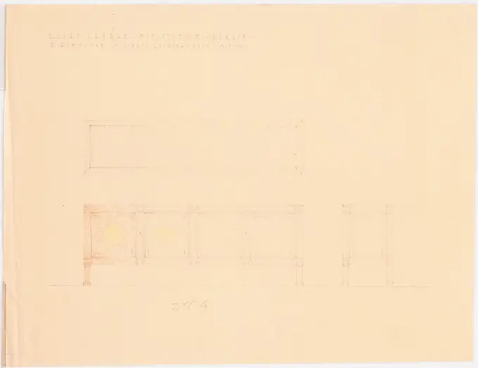
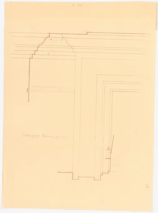
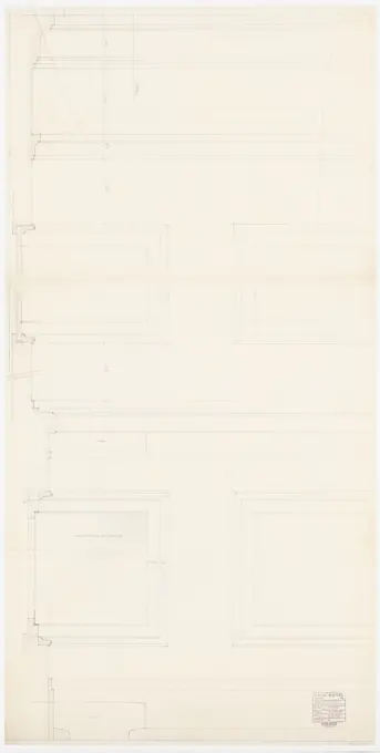
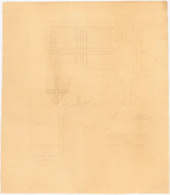
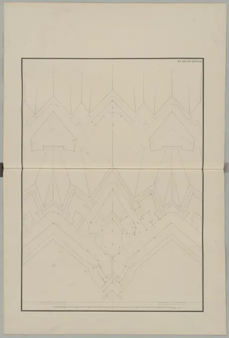
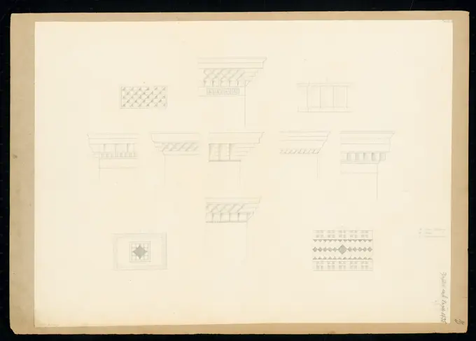
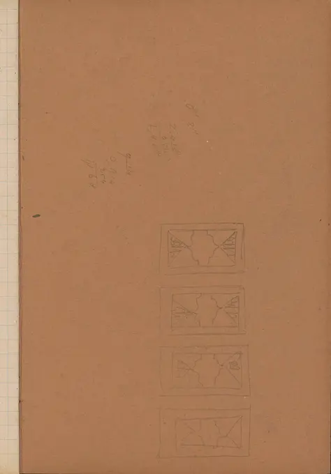
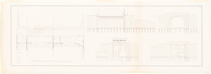
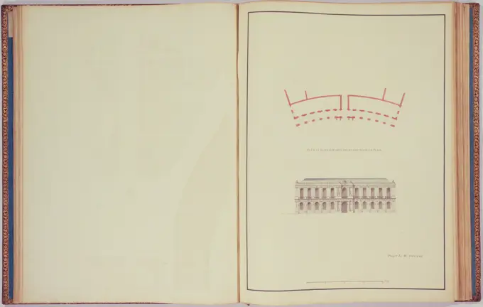
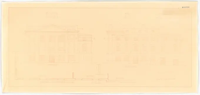
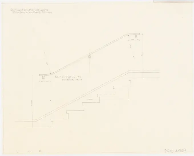
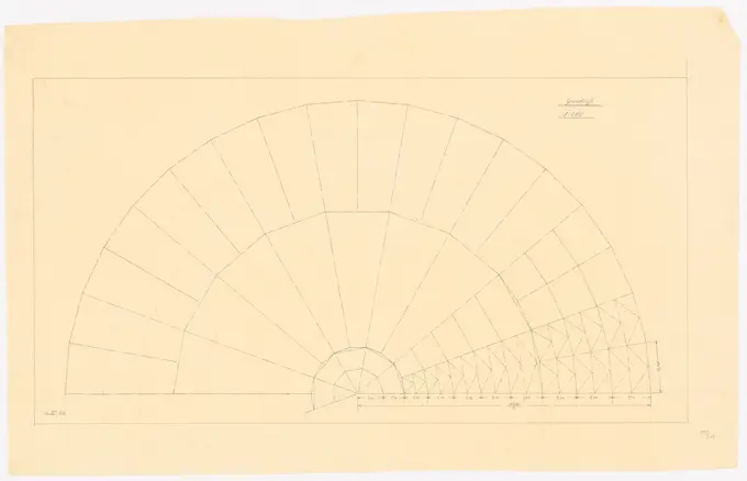
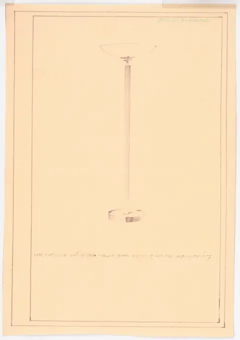
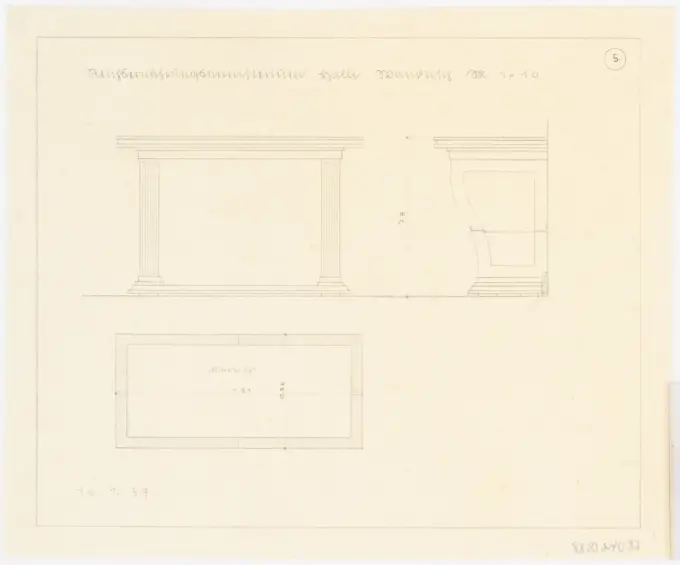
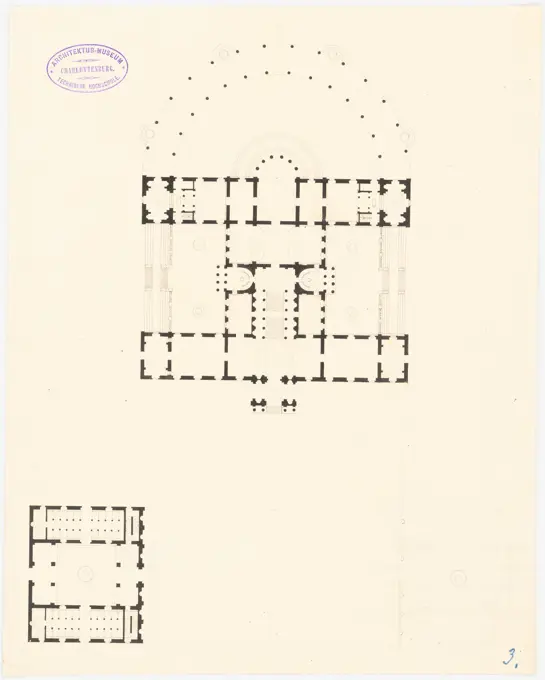
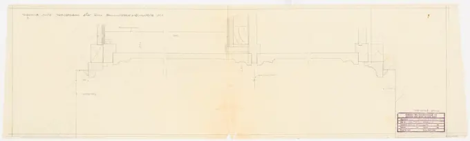
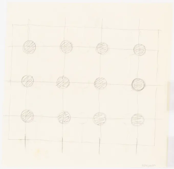
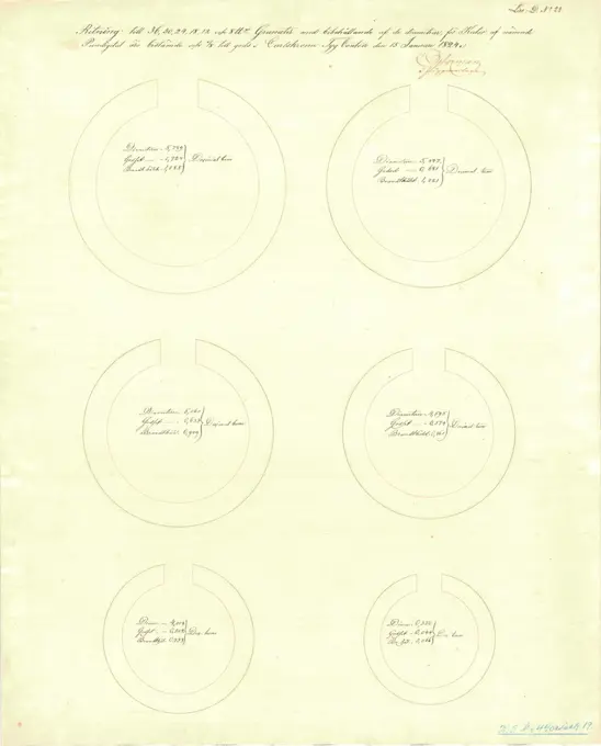
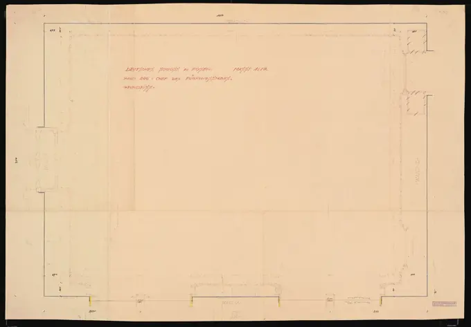
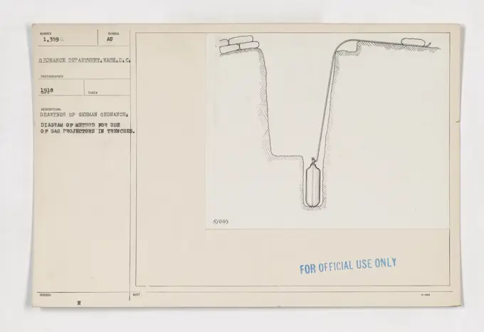
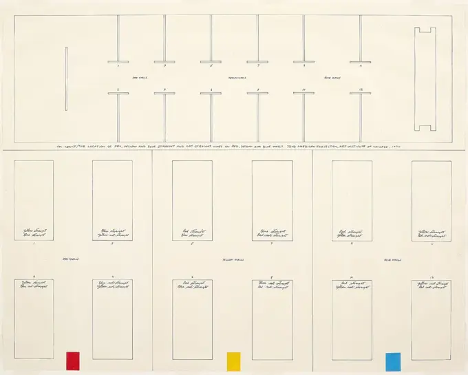
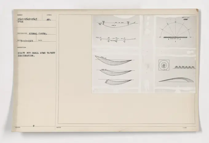
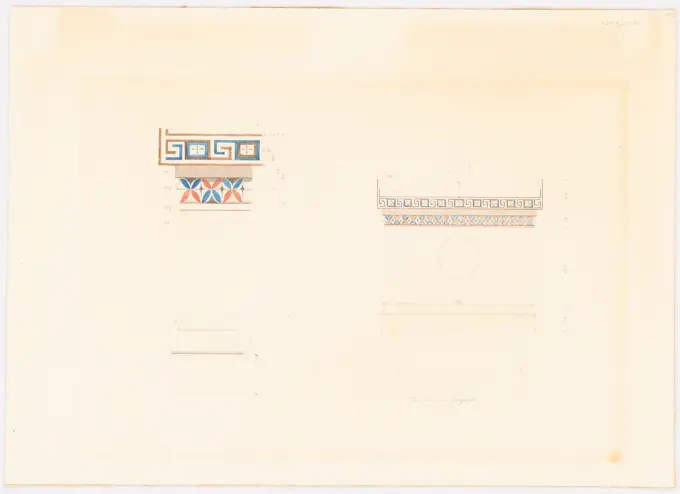
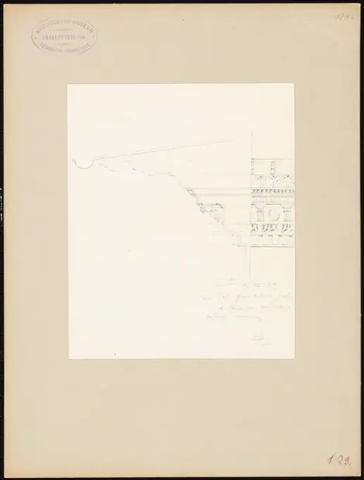
Architectural Drawings by Böhmer
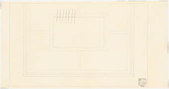
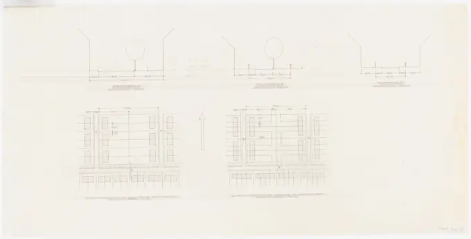
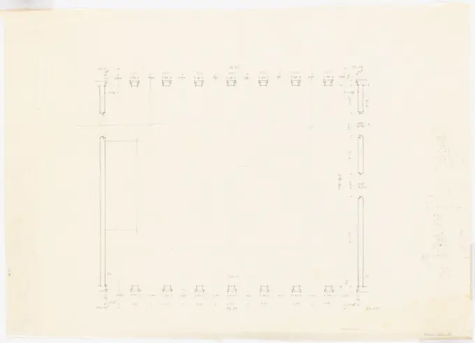
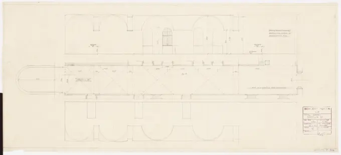
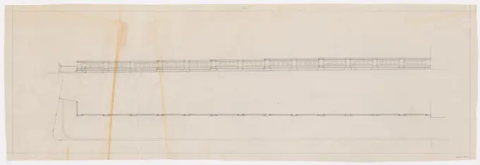
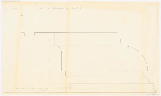
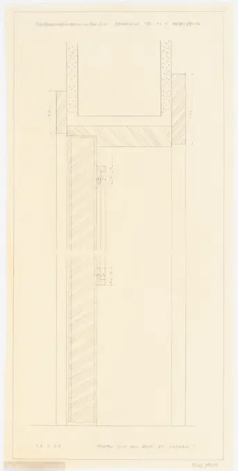
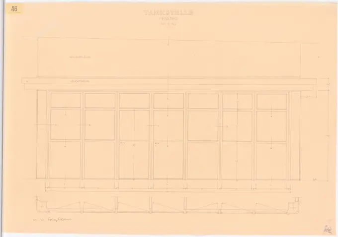
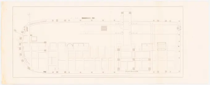
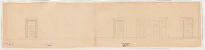
Detailed architectural plans and sketches from the early 20th century, illustrating structural designs and layouts with precision and clarity.
Detailed architectural plans and sketches from the early 20th century, illustrating structural designs and layouts with precision and clarity.