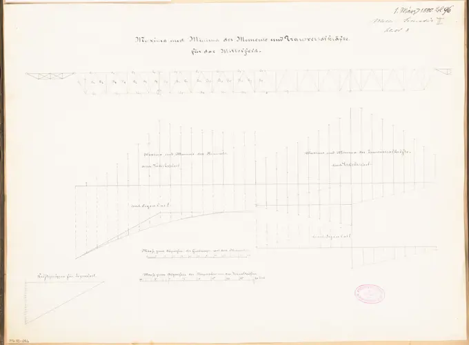
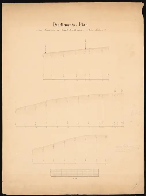
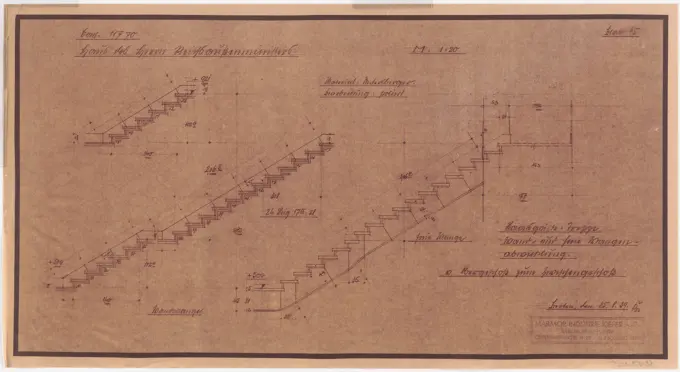
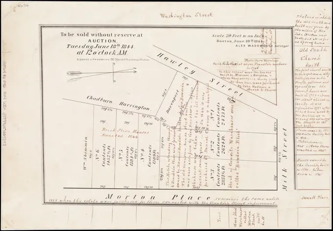
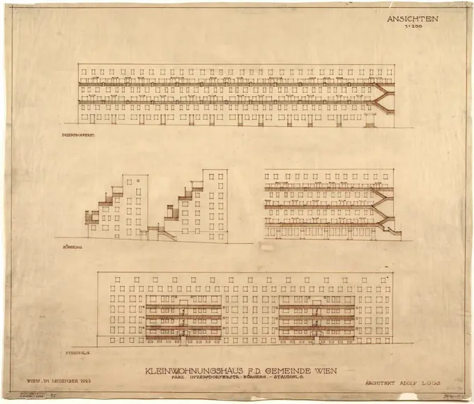
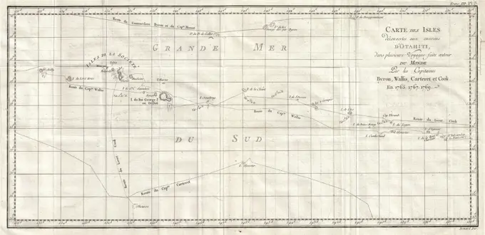
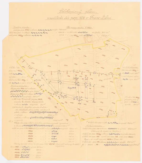
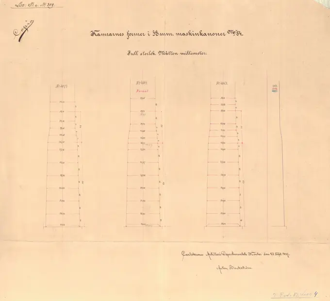
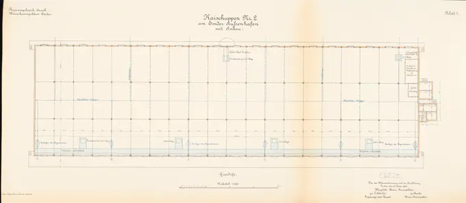
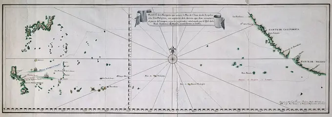
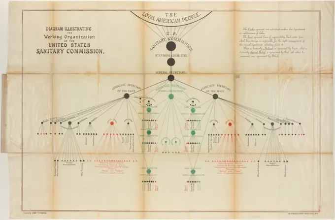
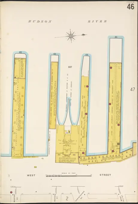
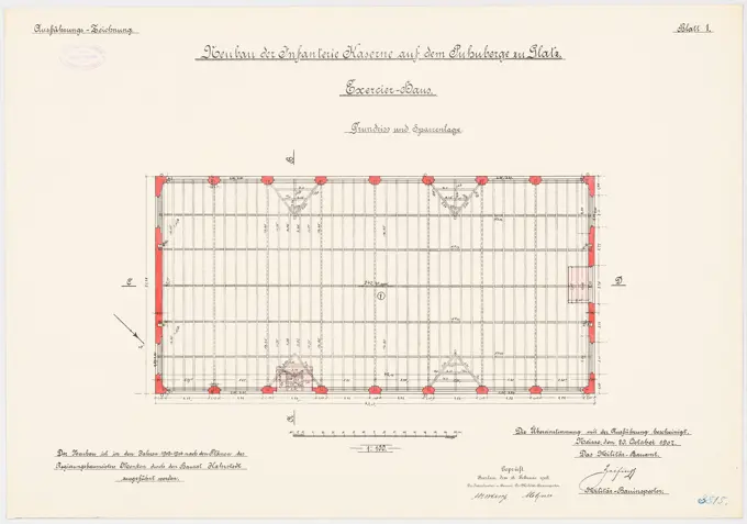
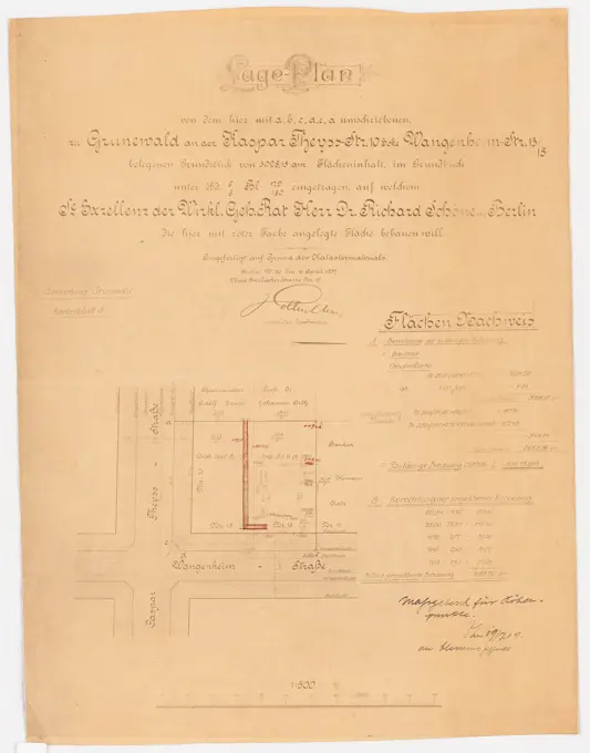
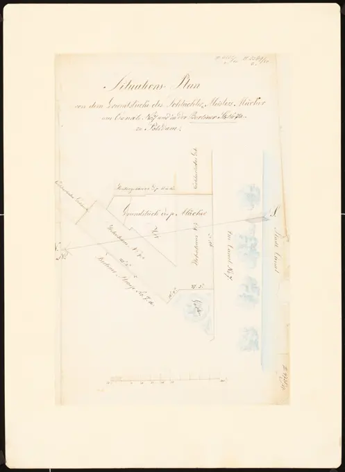
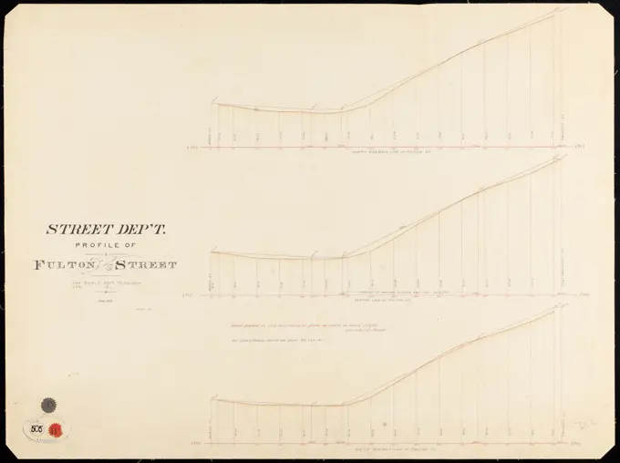
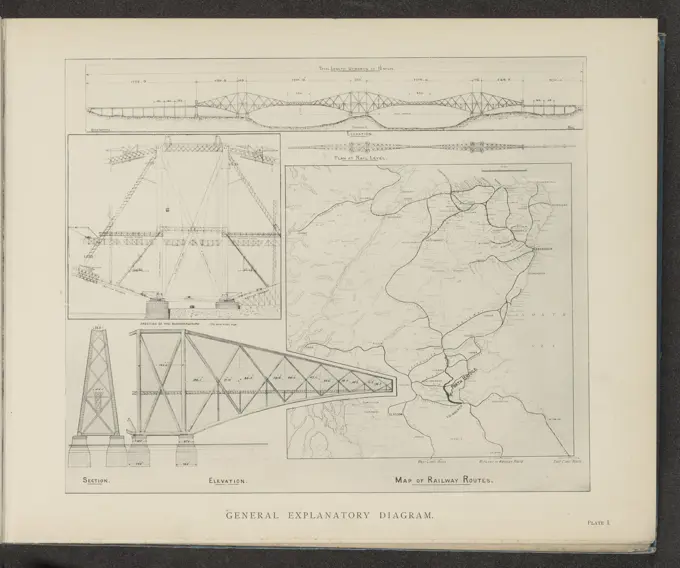
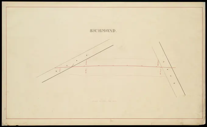
Architectural Plans and Maps
Historical architectural drawings and maps, showcasing construction diagrams, geographic regions, and infrastructure plans from various periods.
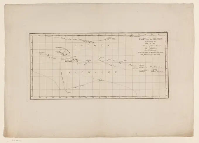
Historical architectural drawings and maps, showcasing construction diagrams, geographic regions, and infrastructure plans from various periods.