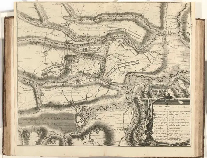
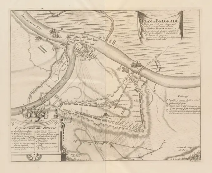
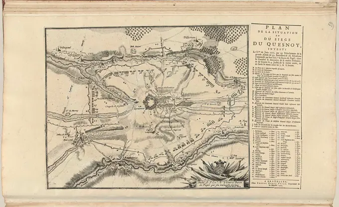
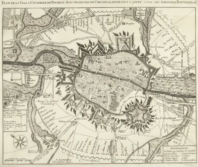
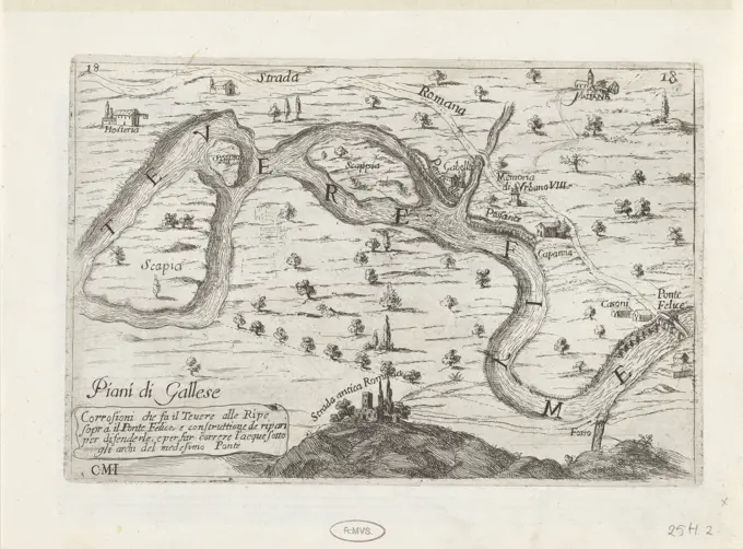
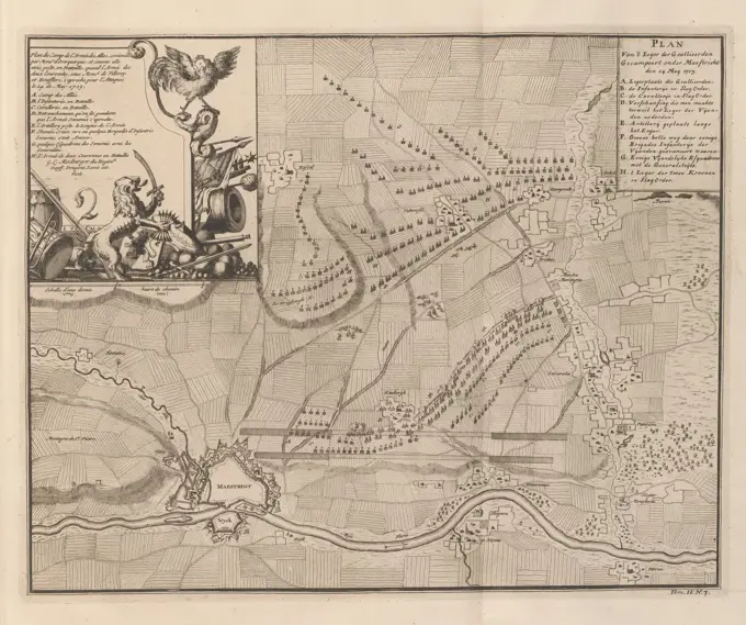
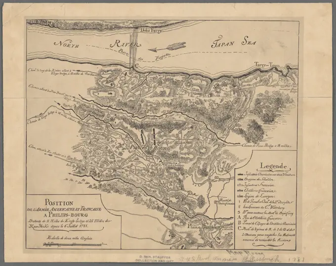
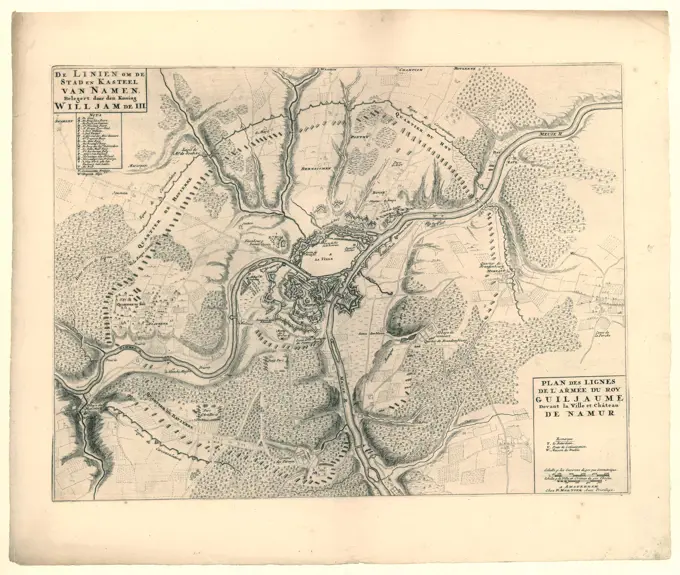
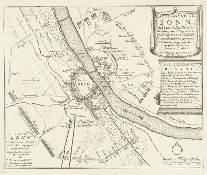
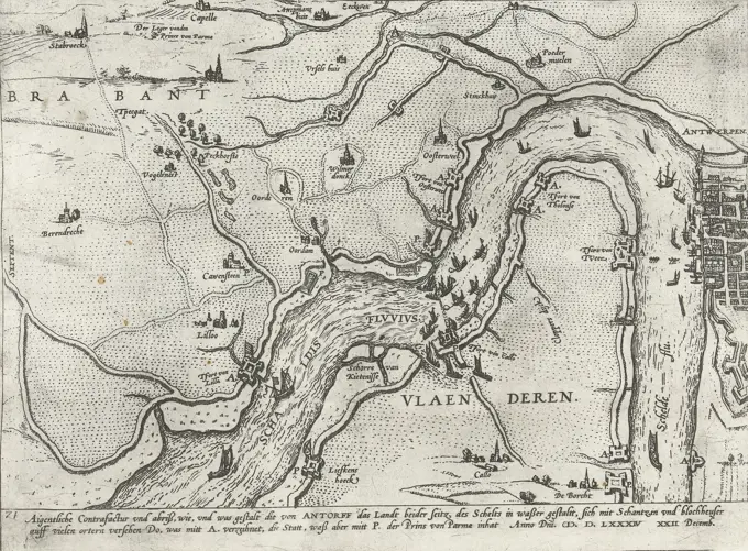
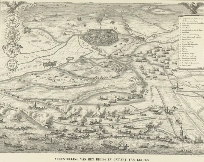
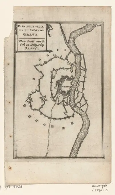
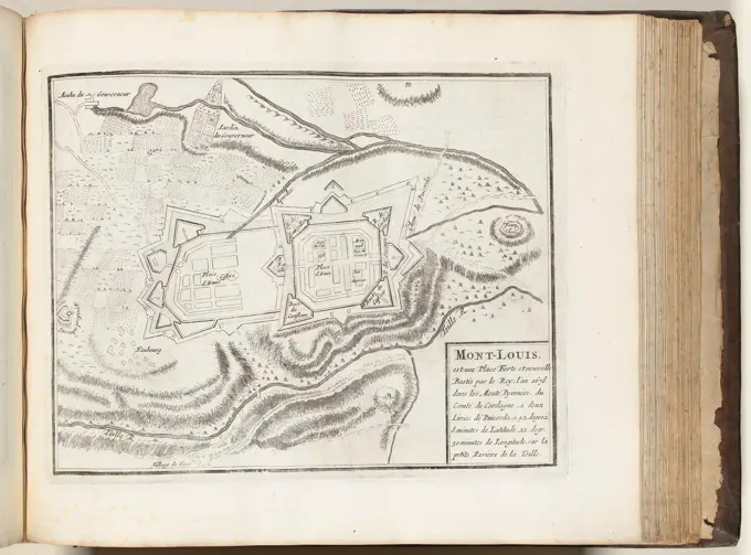
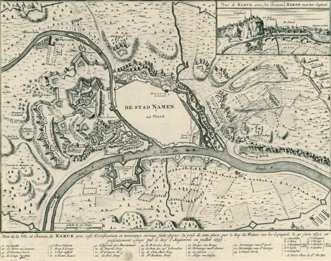
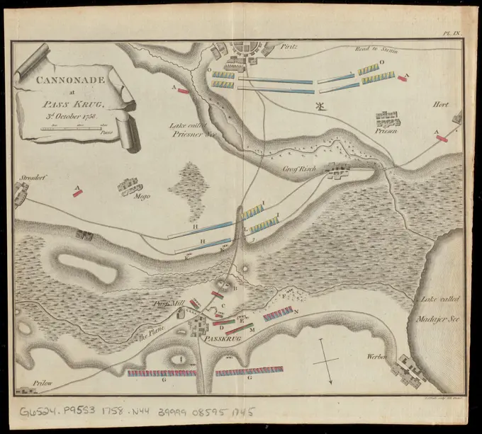
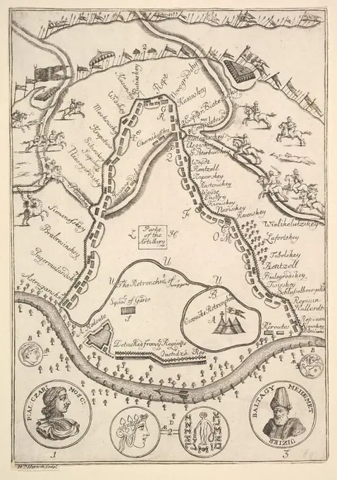
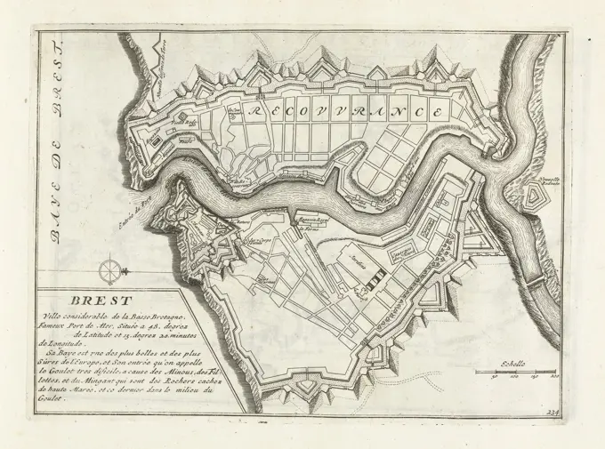
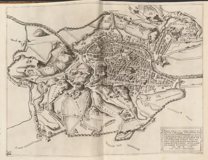
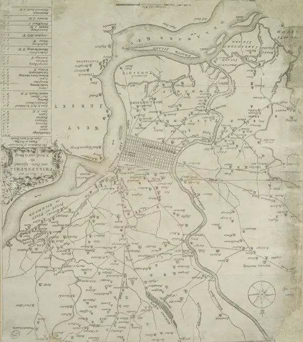
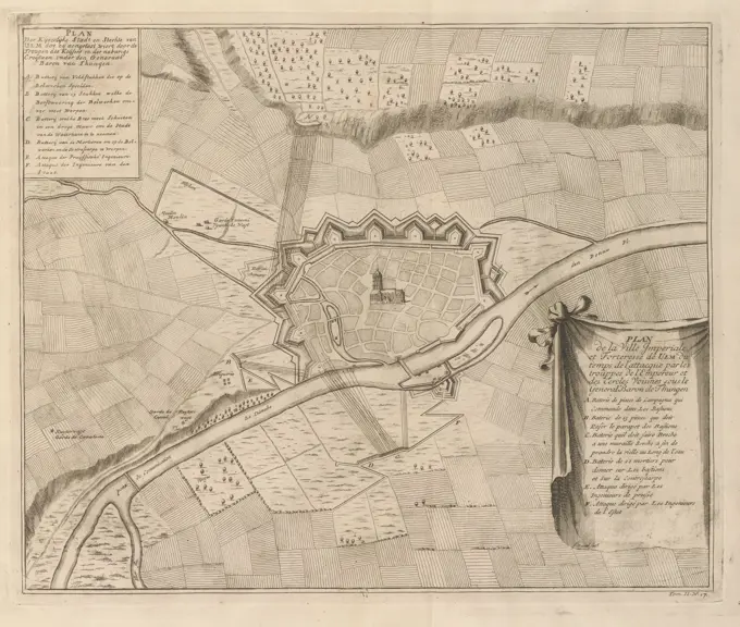
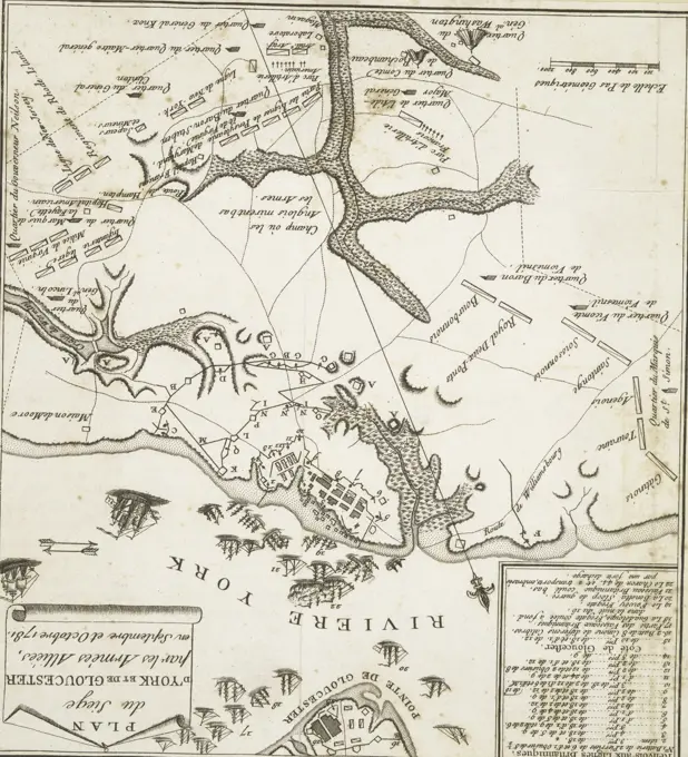
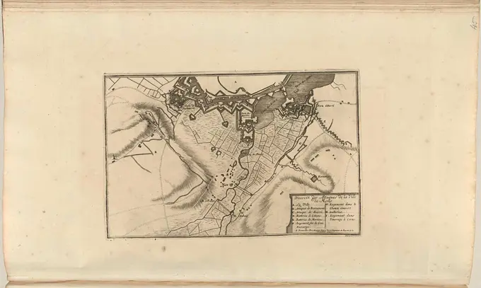
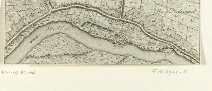
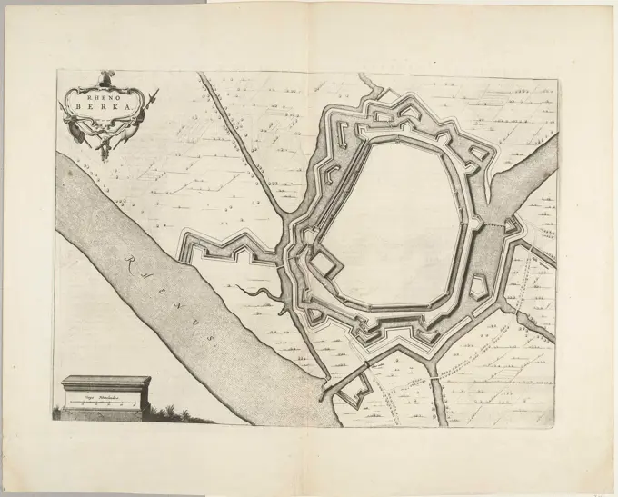
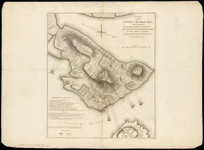
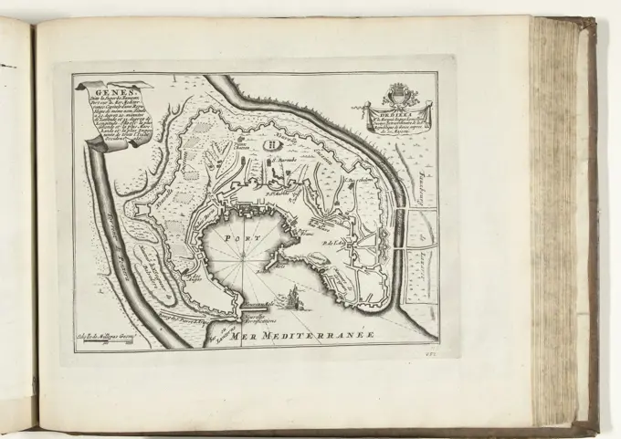
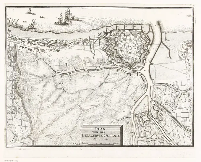
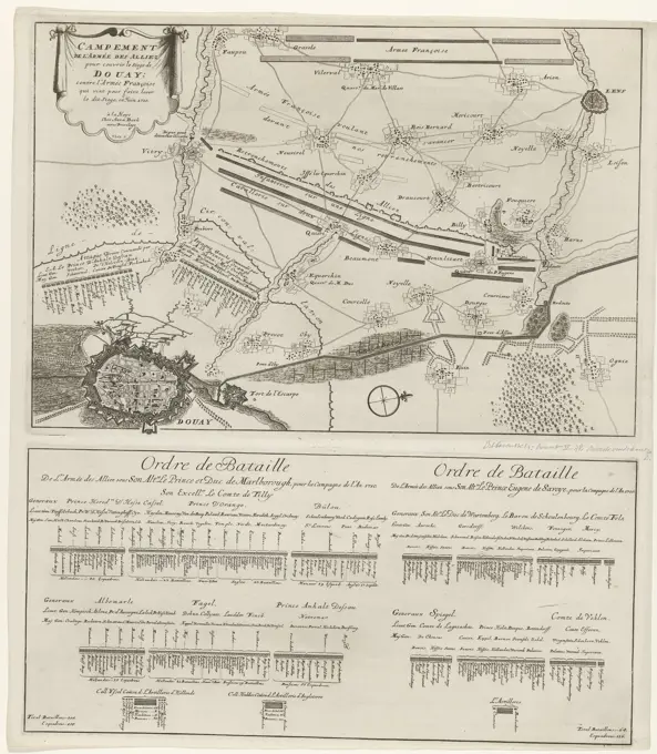
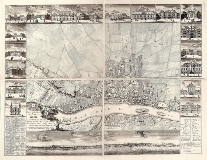
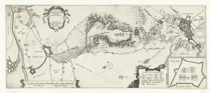
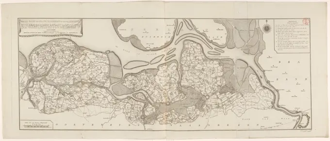
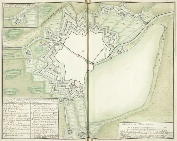
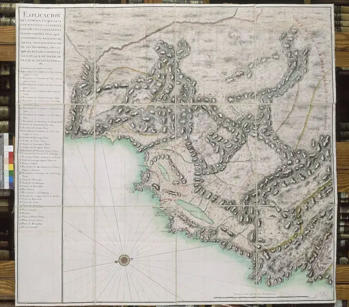
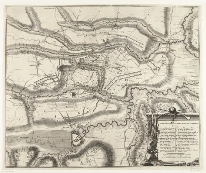
Battles and Siege Maps

Detailed maps of significant battles and sieges from the 17th and 18th centuries, featuring battle strategies, troop placements, and geographical contexts.

Amsterdam, Doesburgh, Thomas, Mosburger, George Lodewijk, Harrewijn, Jacobus, Plan de la Bataille d'Oudenaerde du 11 Juillet 1708, Map of the battle at Oudenaarde, 1708, Plan of the battle at Oudenaarde between the Allies under the Prince of Savoy and the Duke of Marlborough and the French, 11 July 1708. At the bottom right a cartouche, decorated with coats of arms, with the legend AV in French and a scale bar: Echelle de 3000 pas communs., print, map, prints, Frederik Muller Historieplaten, height 500 mm, width 603 mm, print maker, printmaker, 1708 - 1714, paper, papier, etching, etchings, engraving, engraving (printing process), Work conception, Southern Netherlands, 1660 - 1740, after print by, Dutch - 1746, cartographer, Publication (Event), Publication, publisher