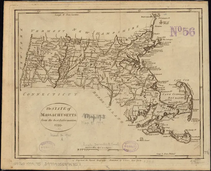
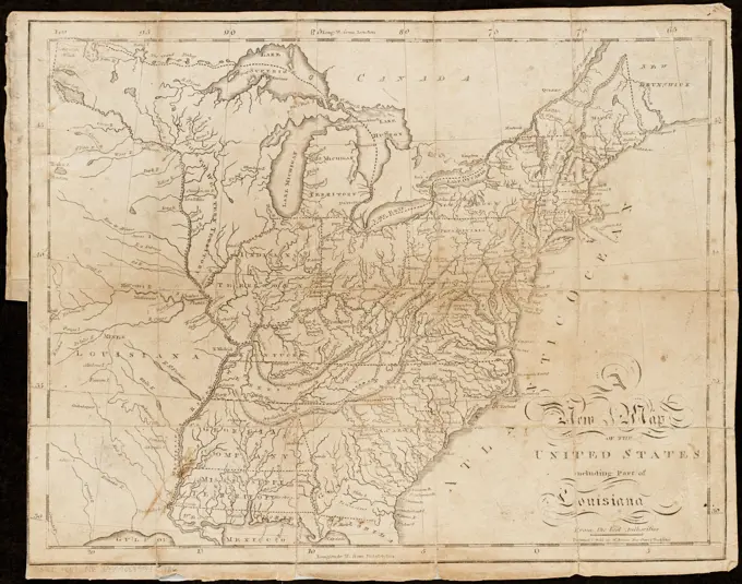
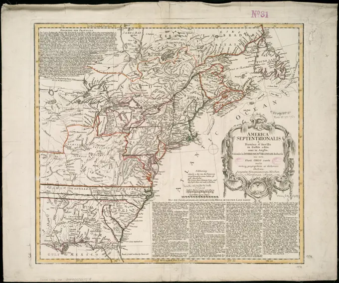
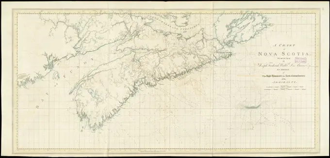
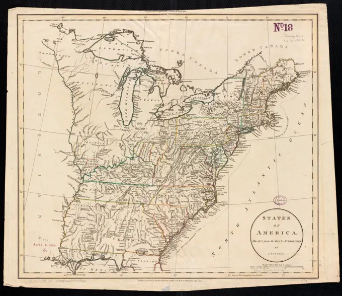
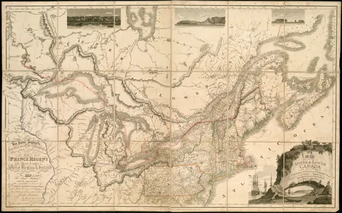
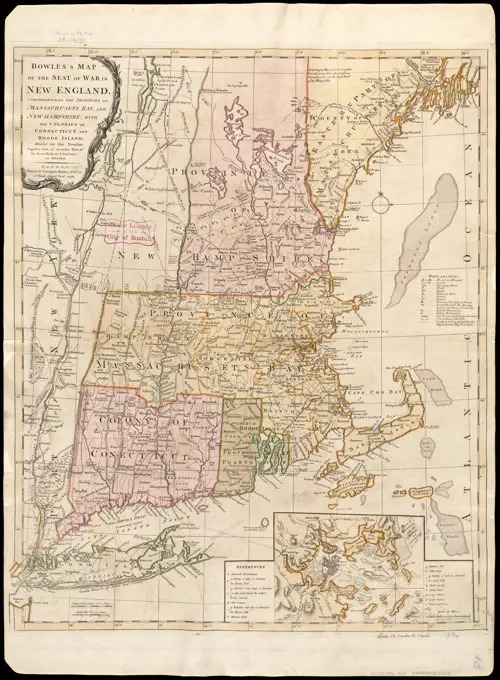
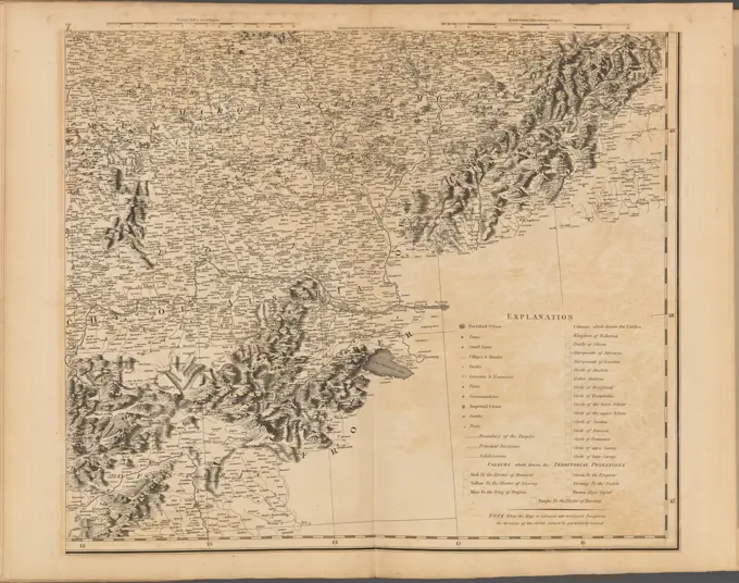
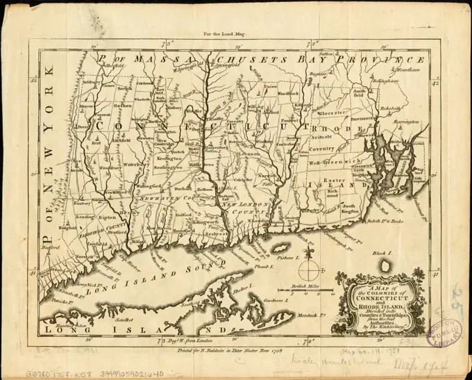
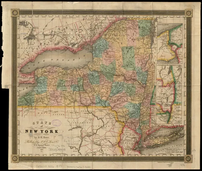
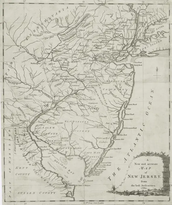
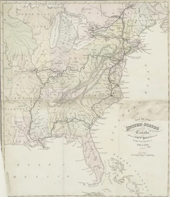
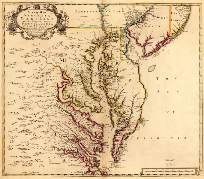
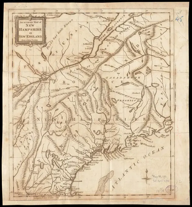
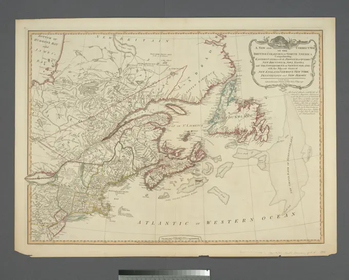
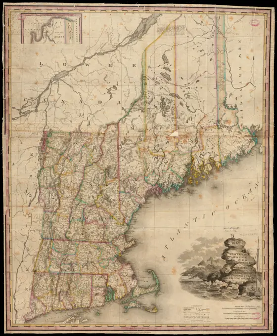
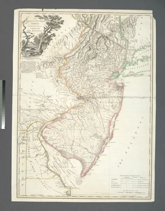
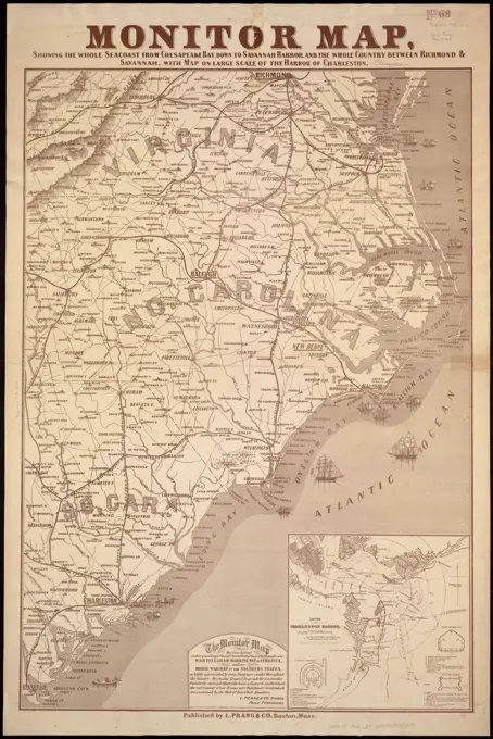
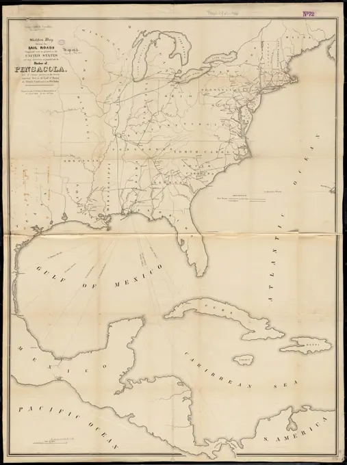
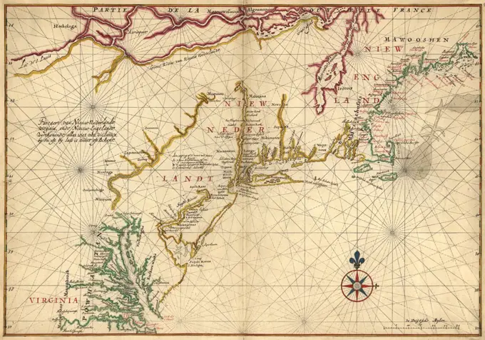
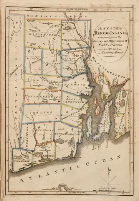
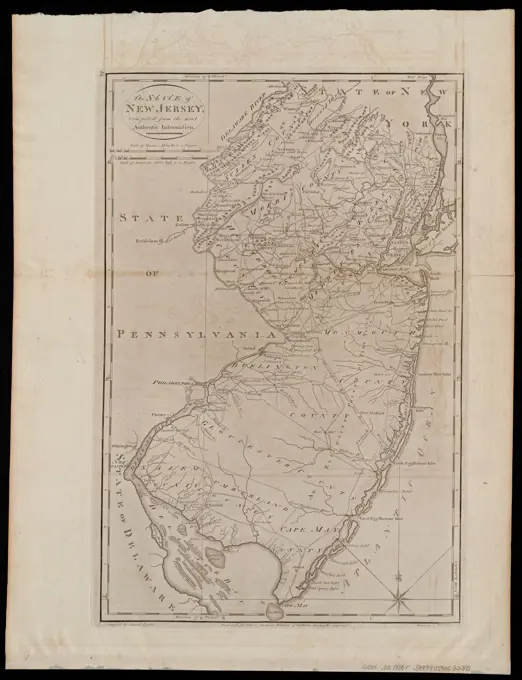
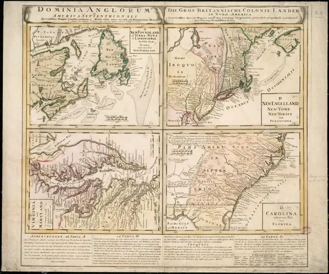
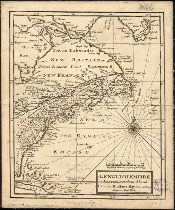
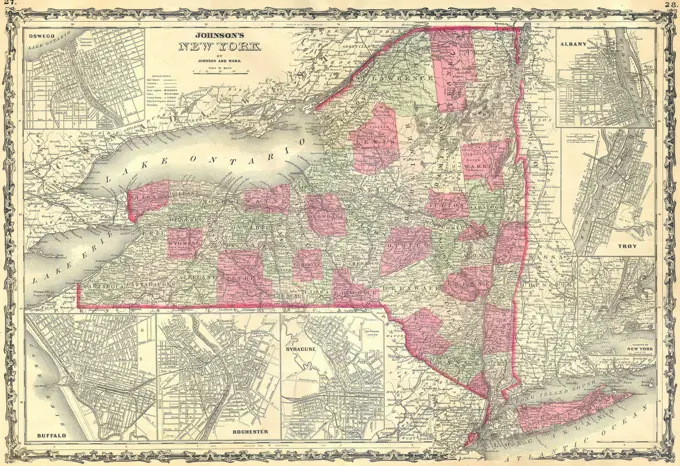
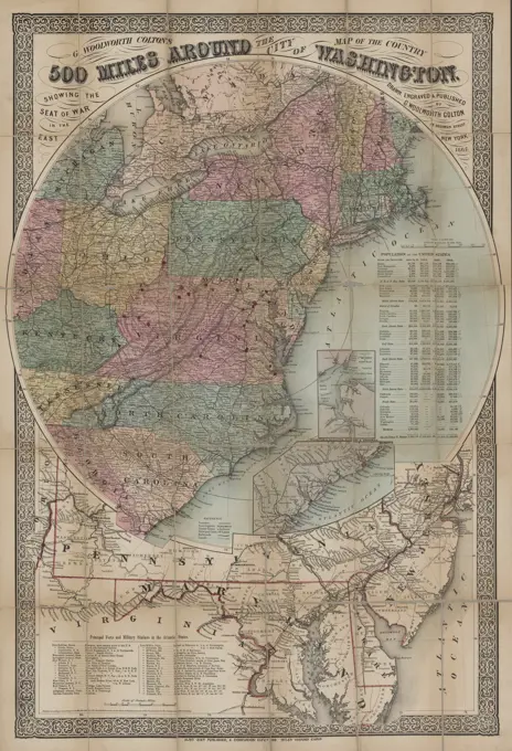
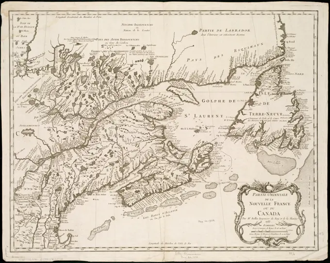
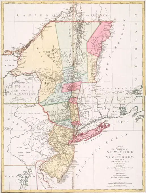
Colonial American Maps

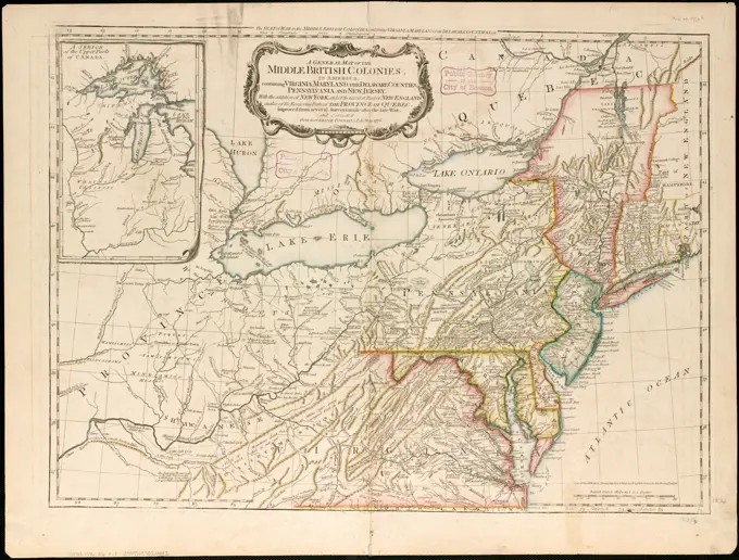
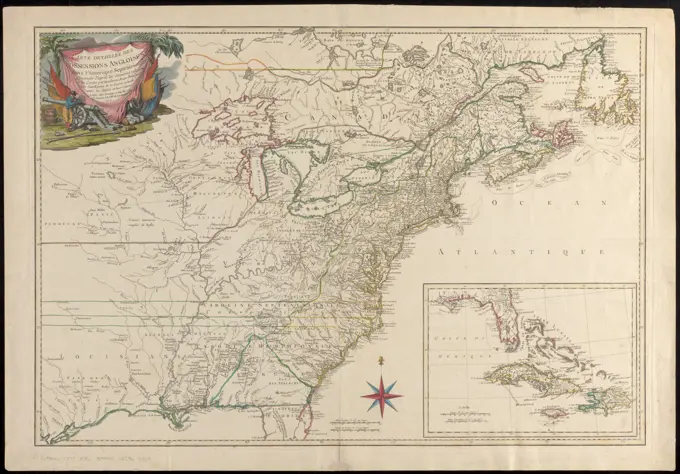
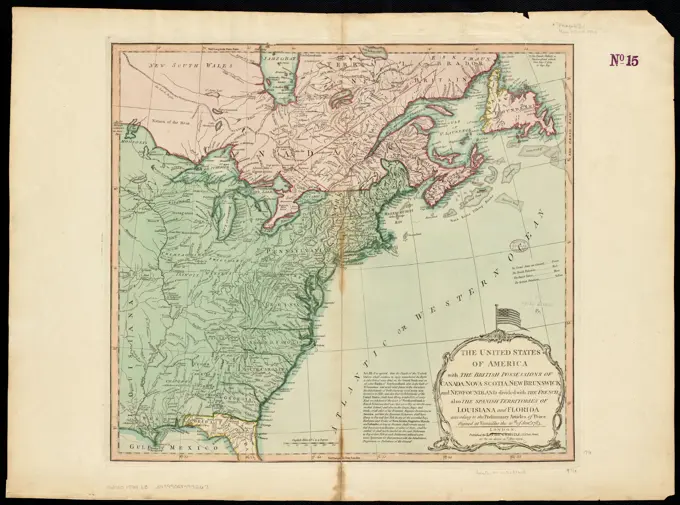
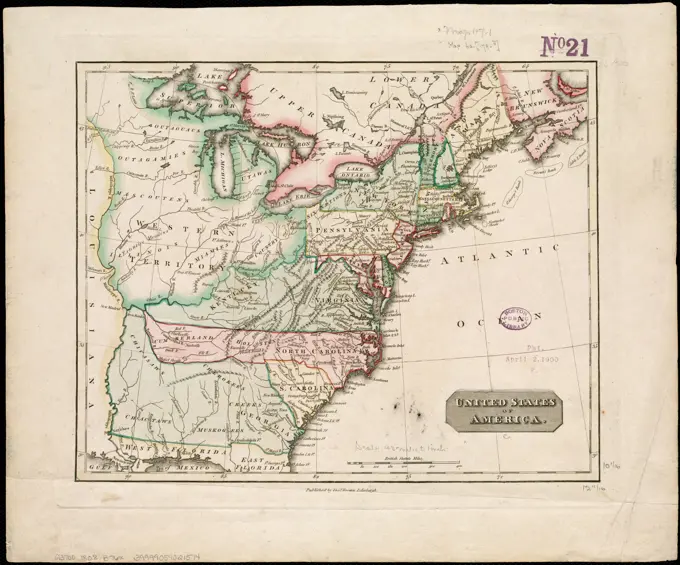
Historic maps of North America depicting colonial territories and routes, enhanced with detailed illustrations and geographic features.

Tabula Tartariae et majoris partis Regni Chinae. Gedruckt t'Amsterdam by Frederick de Wit voor aen inde Calverstraet by den Dam inde Witte Pascaart. Relief shown pictorially. Cataloging, conservation, and digitization made possible in part by The National Endowment for the Humanities: Exploring the human endeavor. Part of composite portfolio atlas with title "Collection of old maps.".. Collection of old maps. Collection of old maps, East Asia  ,area  China Russia  , Siberia  ,area
Tabula Tartariae et majoris partis Regni Chinae. Gedruckt t'Amsterdam by Frederick de Wit voor aen inde Calverstraet by den Dam inde Witte Pascaart. Relief shown pictorially. Cataloging, conservation, and digitization made possible in part by The National Endowment for the Humanities: Exploring the human endeavor. Part of composite portfolio atlas with title "Collection of old maps.".. Collection of old maps. Collection of old maps, East Asia ,area China Russia , Siberia ,area