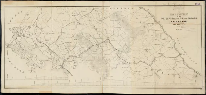
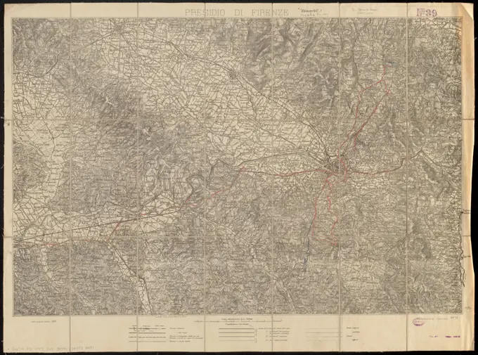
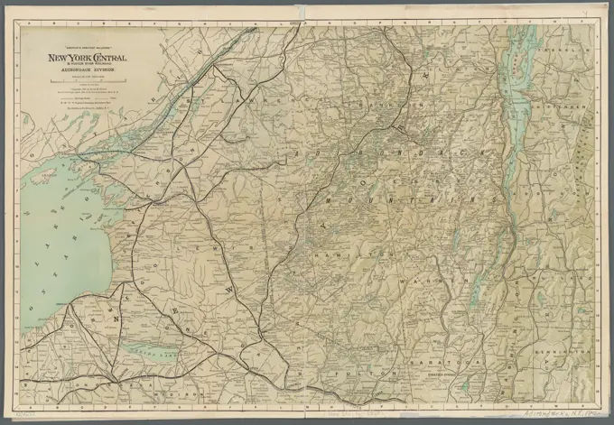
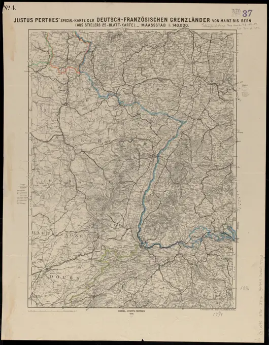
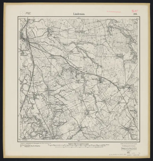
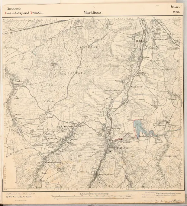
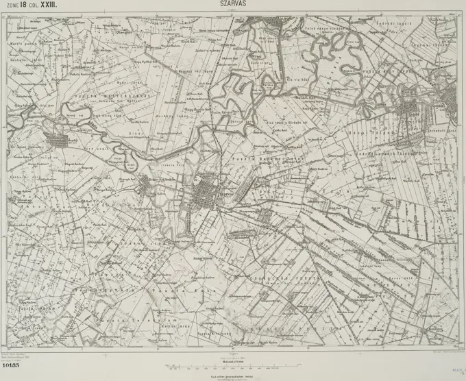
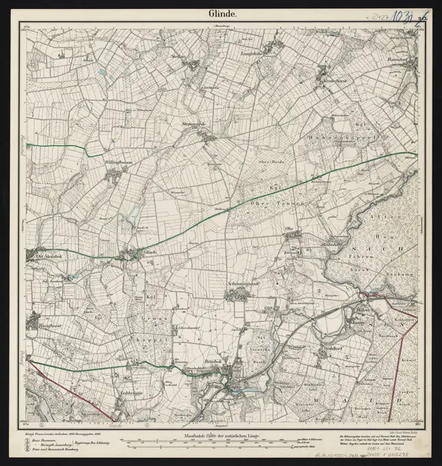
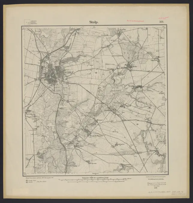
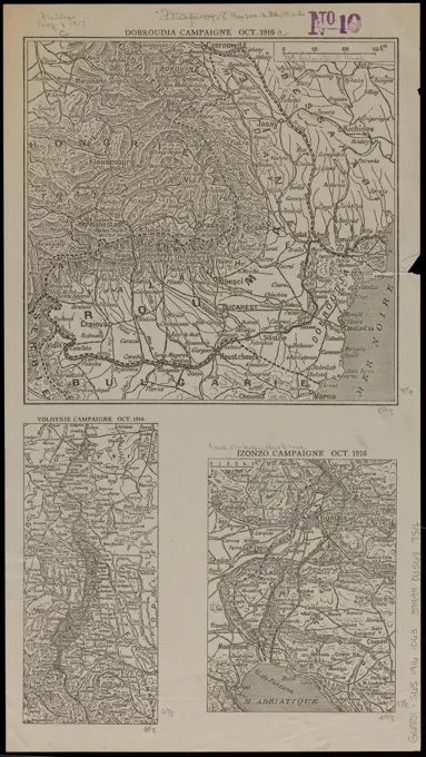
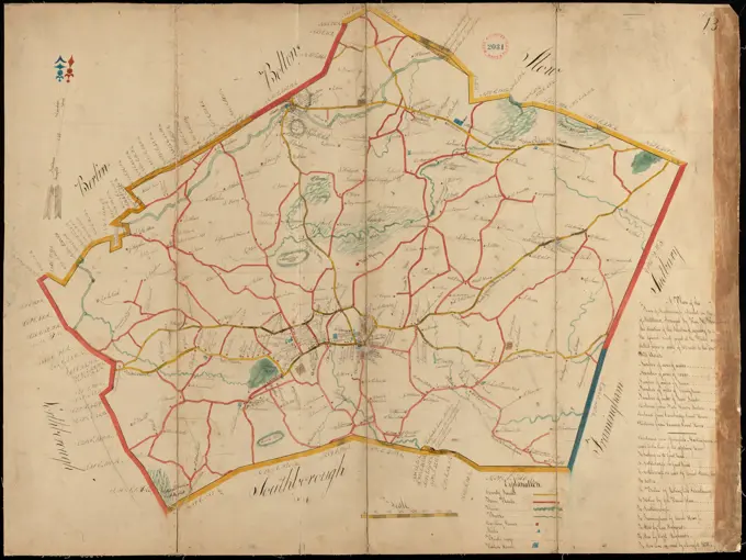
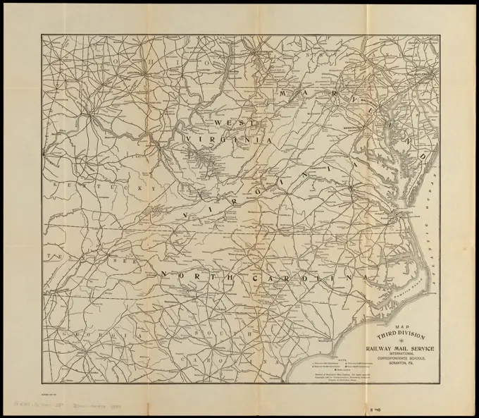
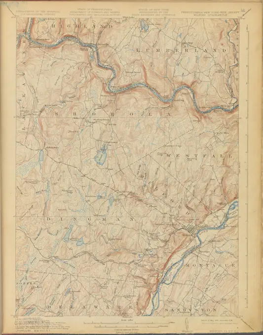
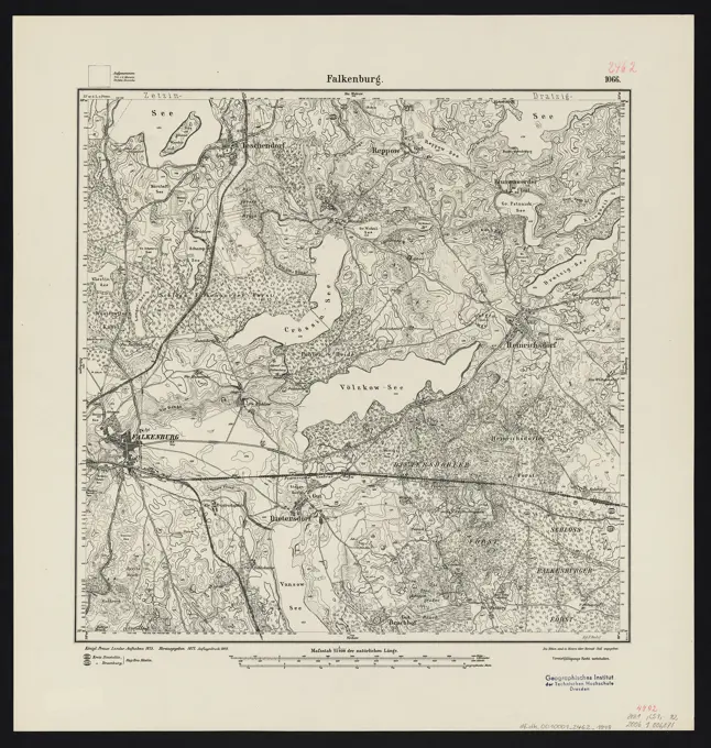
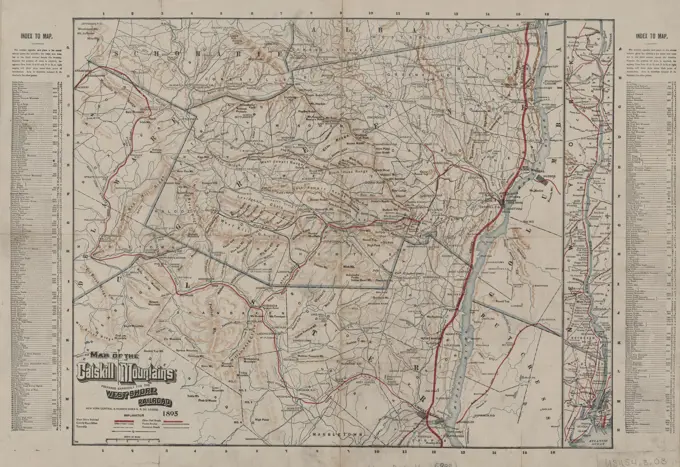
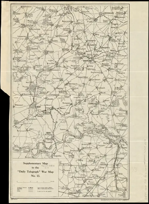
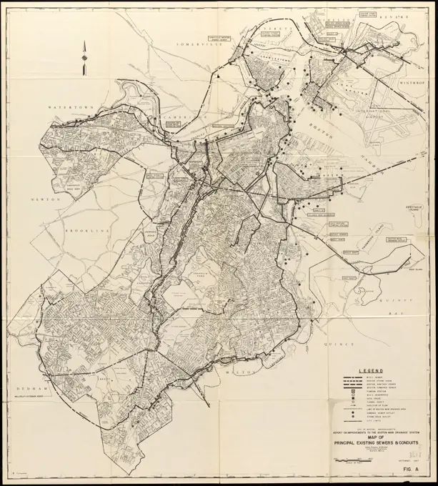
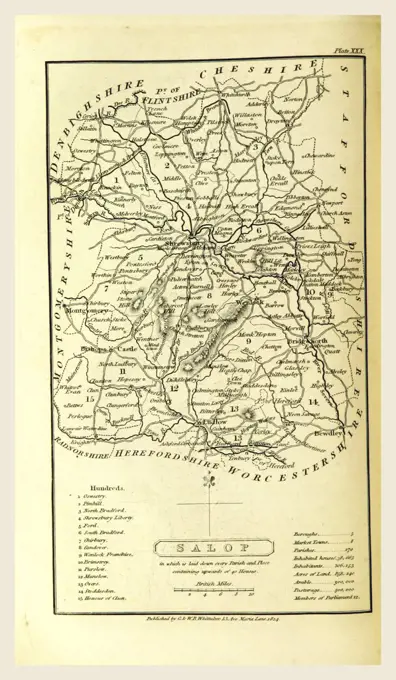
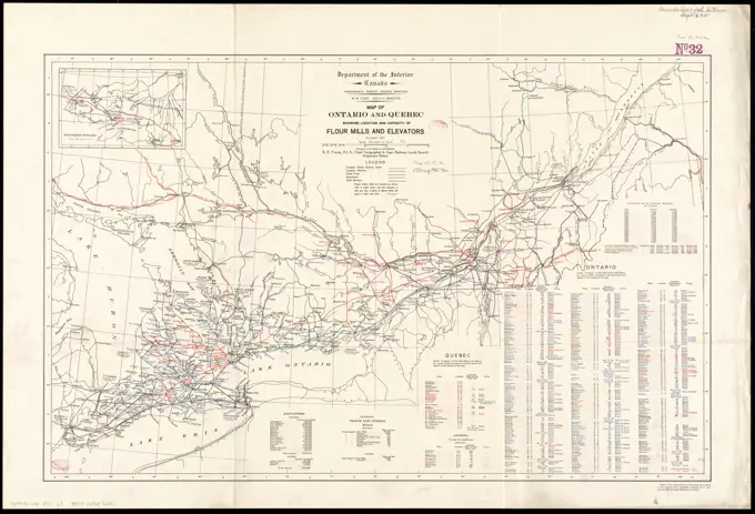
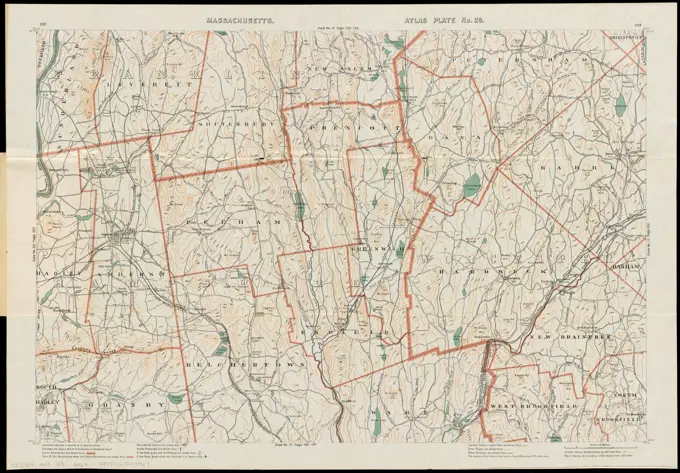
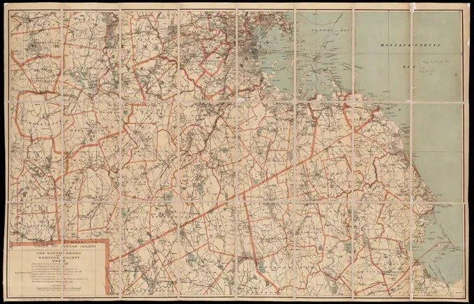
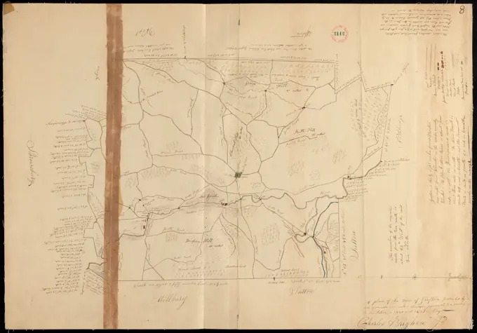
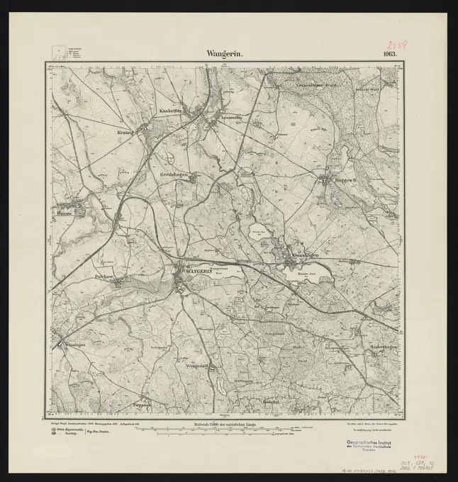
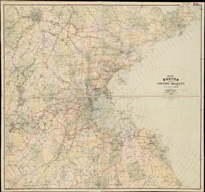
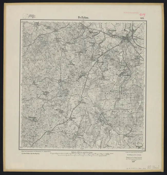
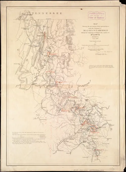
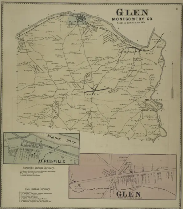
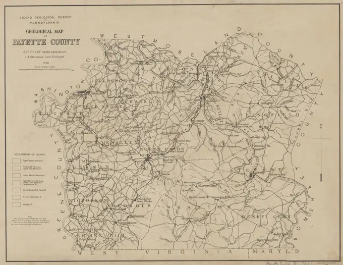
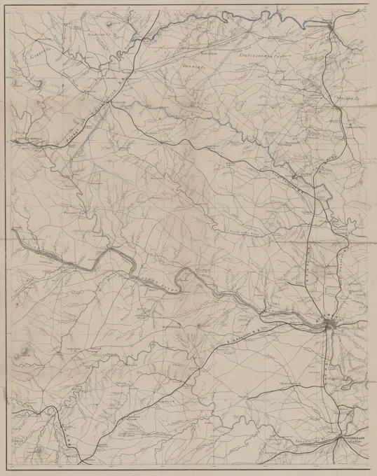
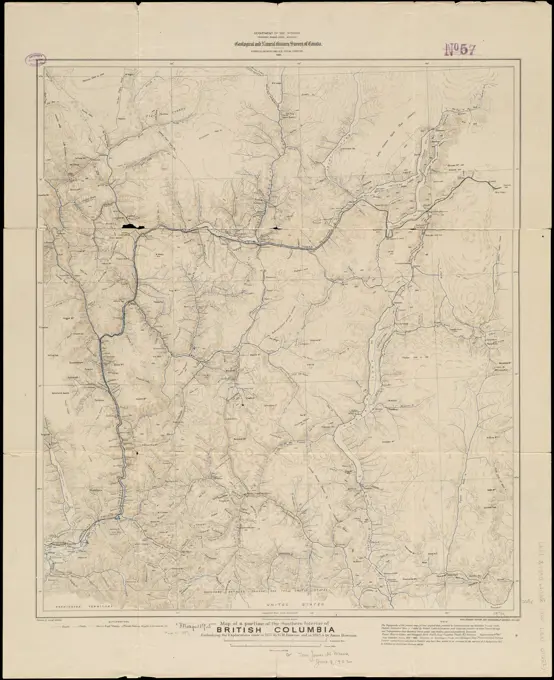
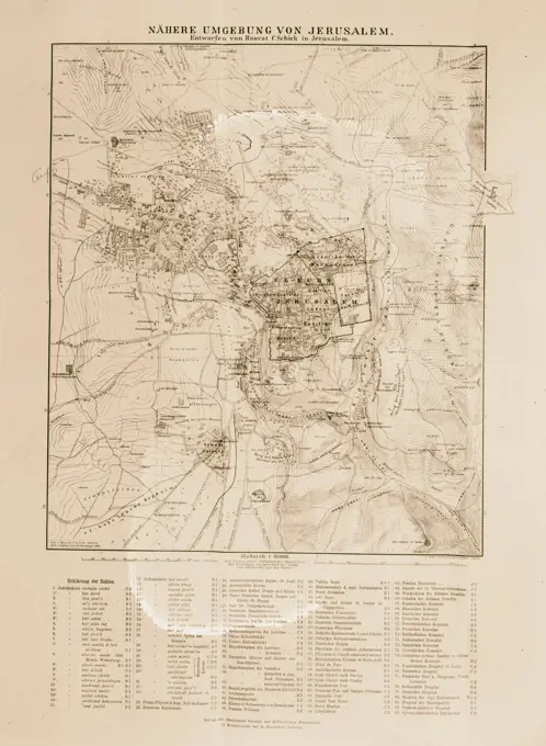
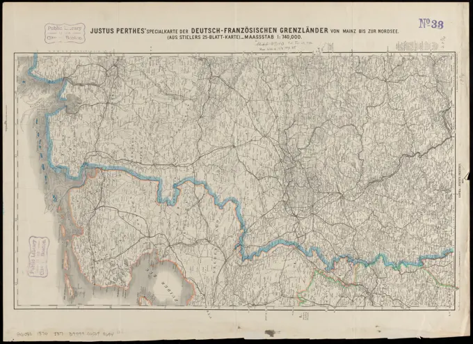
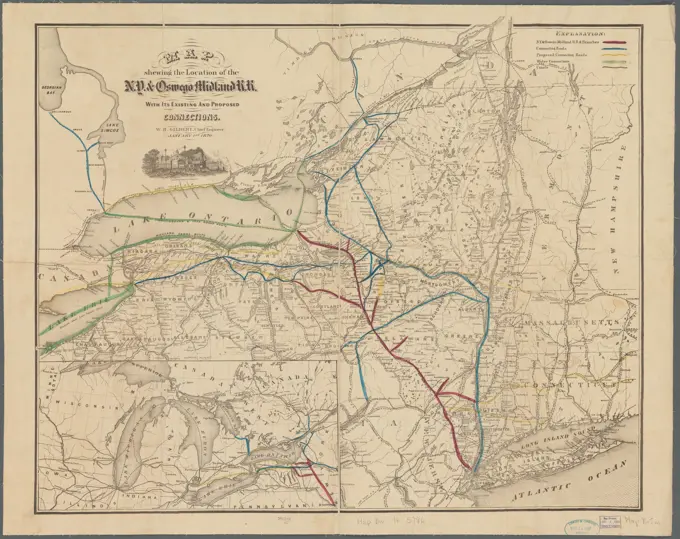
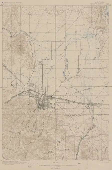
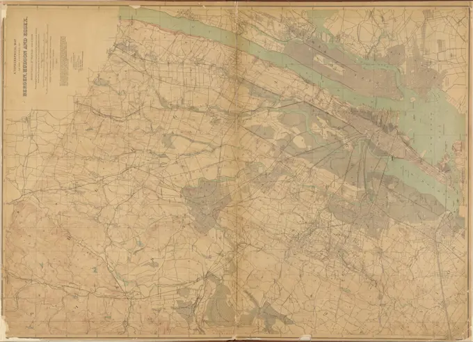
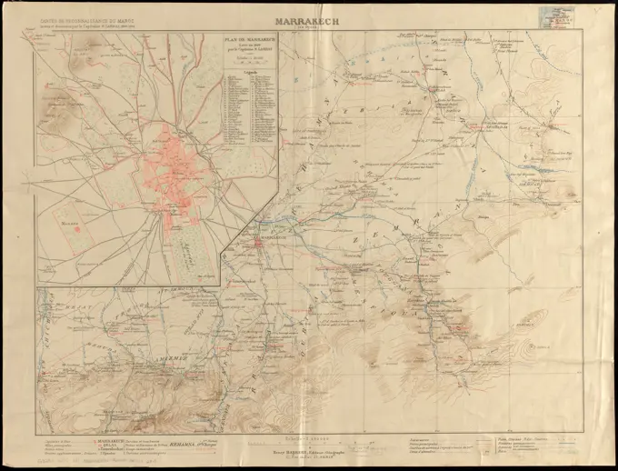
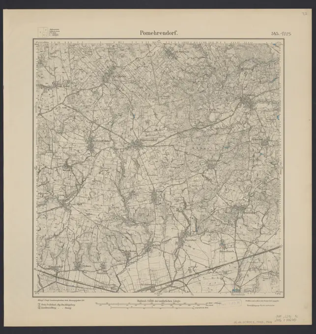
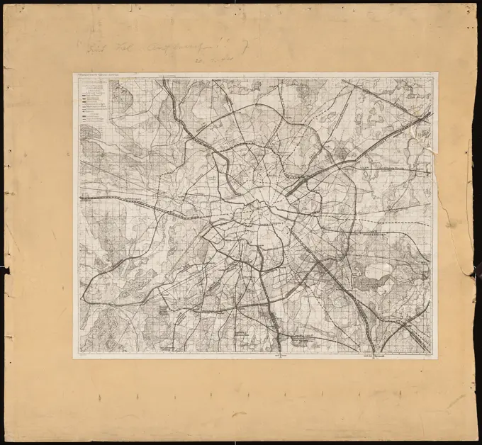
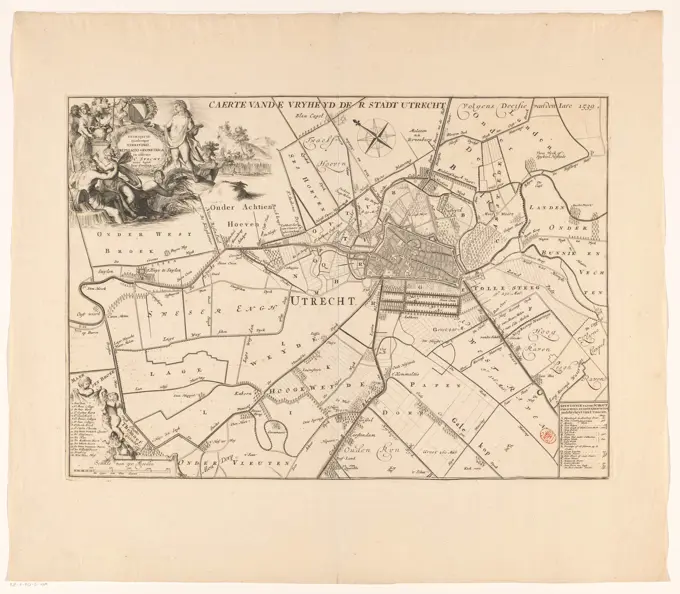
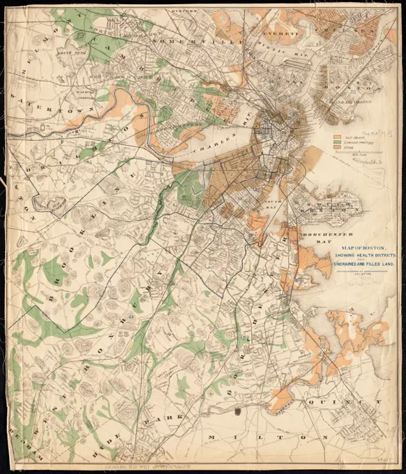
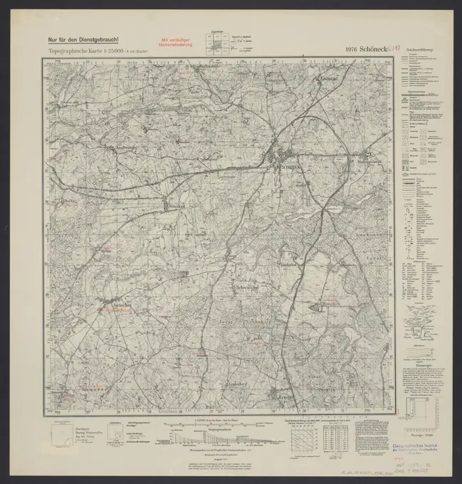
Detailed Historical Maps
A series of intricate historical maps showcasing regional plans and railroads, rendered in fine detail with hachures and annotations, emphasizing navigation and geography.
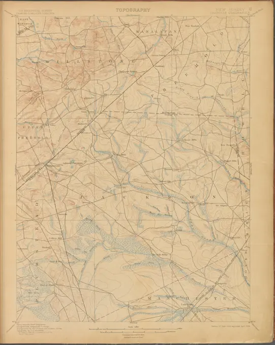
A series of intricate historical maps showcasing regional plans and railroads, rendered in fine detail with hachures and annotations, emphasizing navigation and geography.