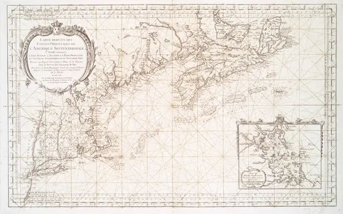
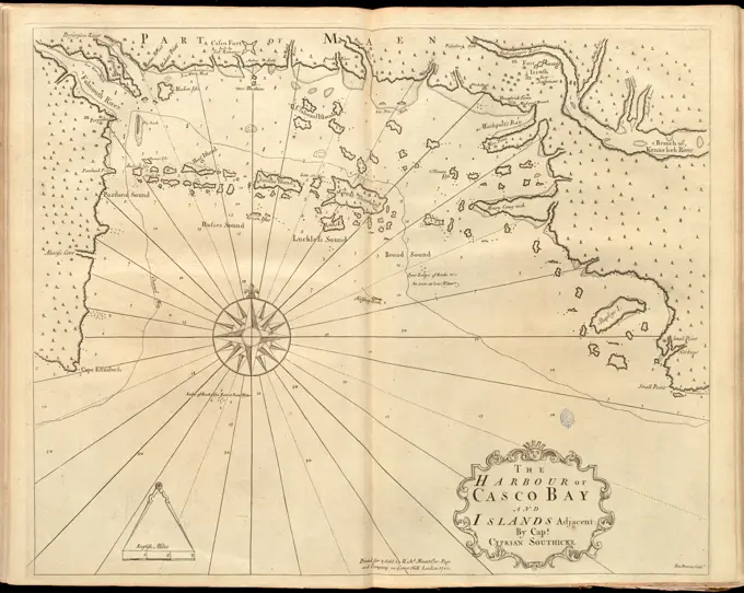
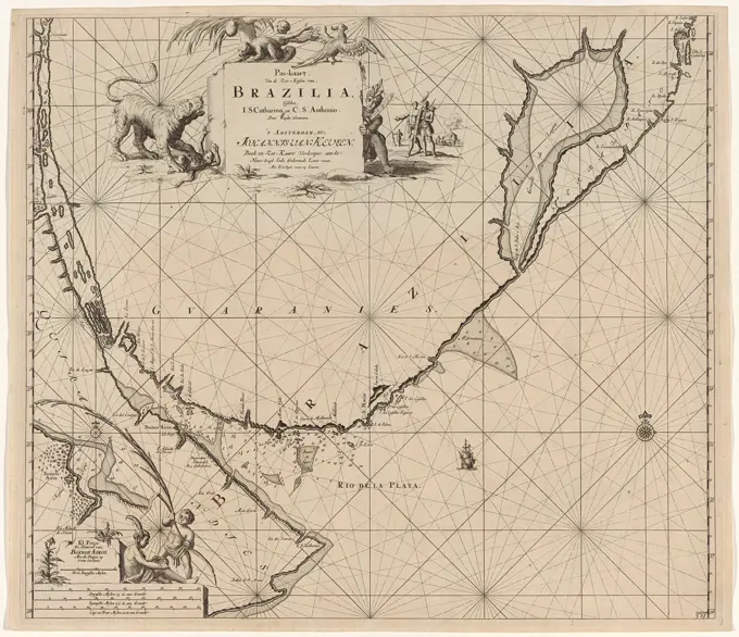
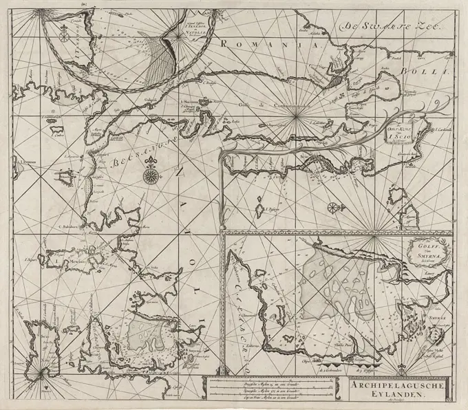
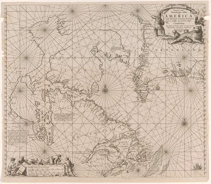
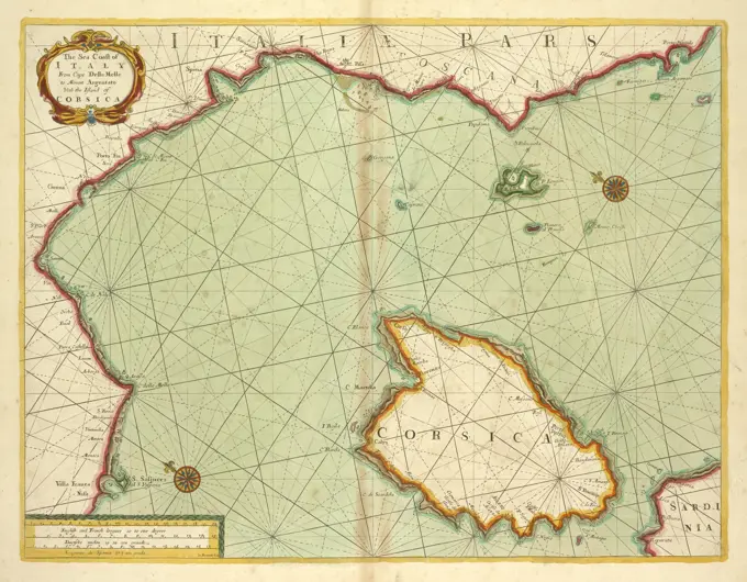
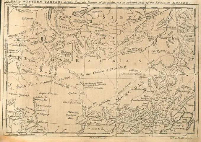
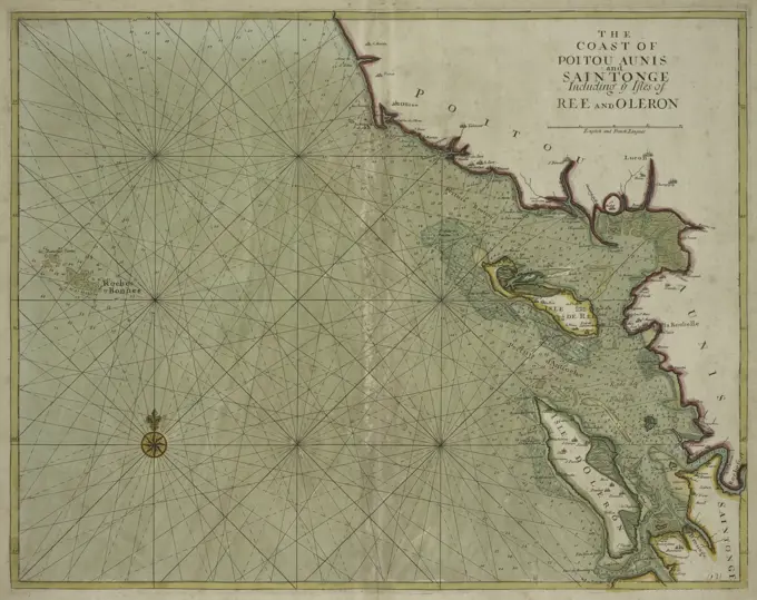
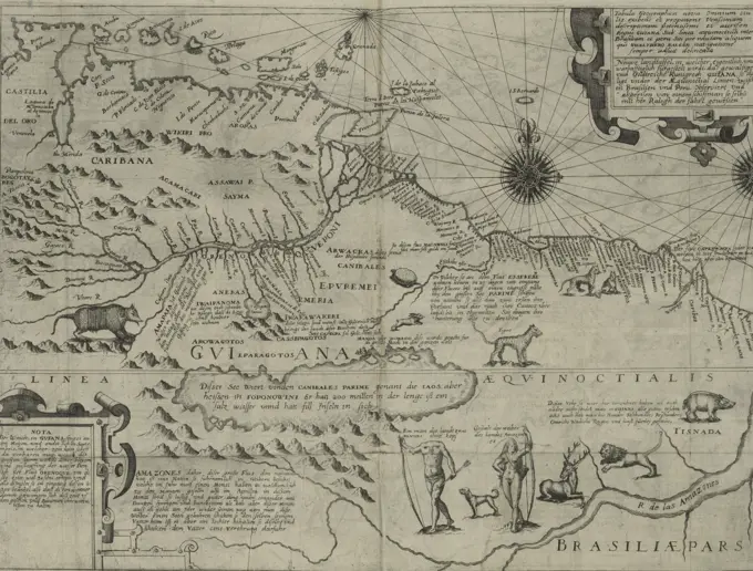
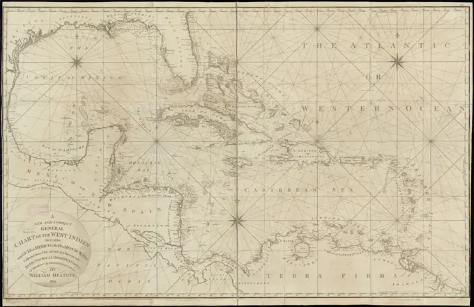
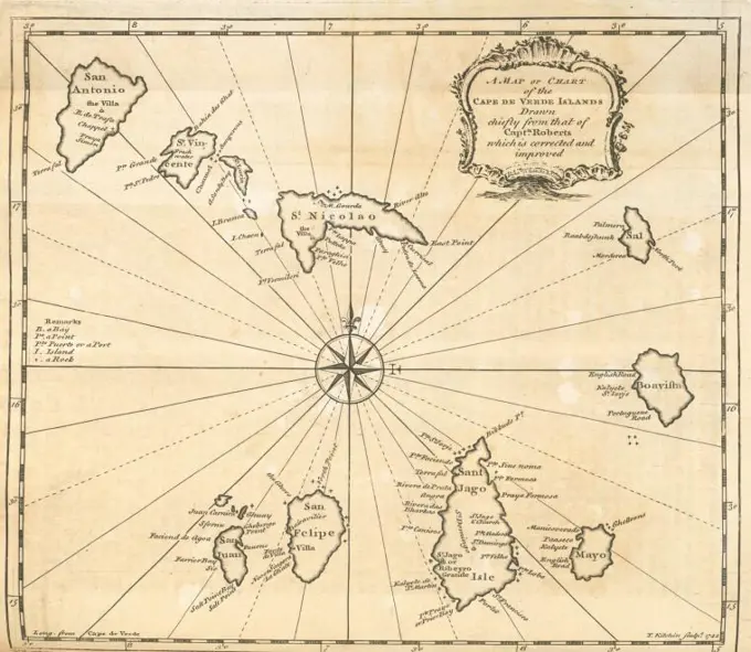
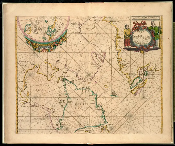
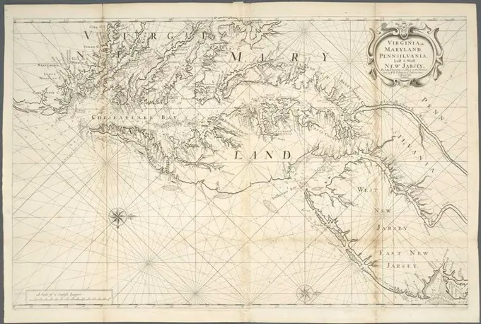
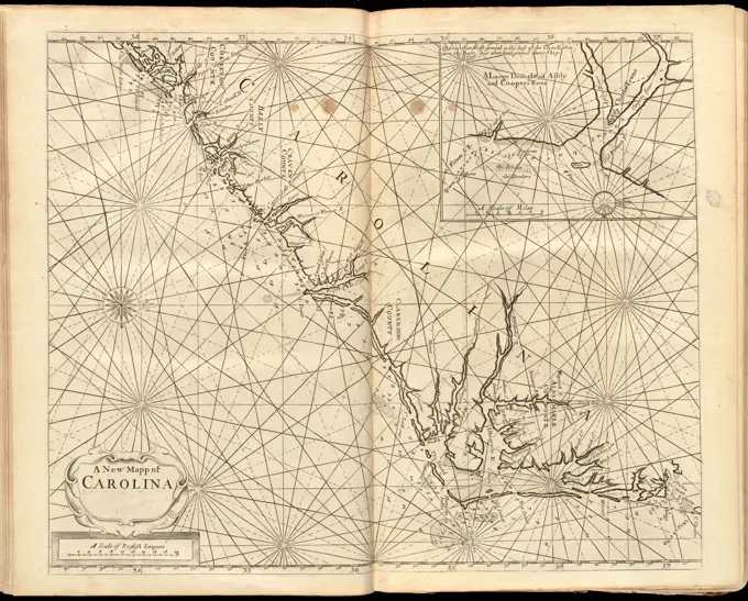
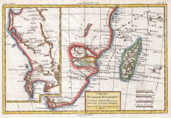
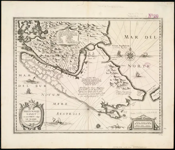
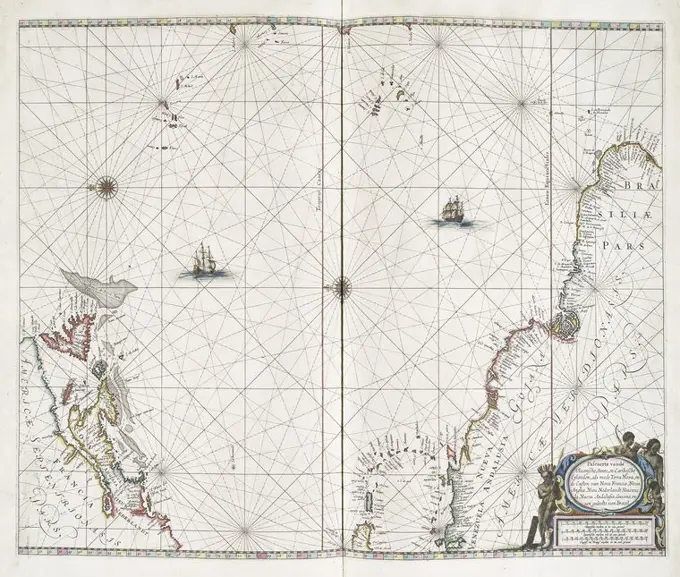
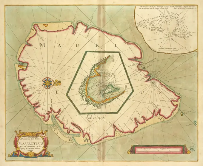
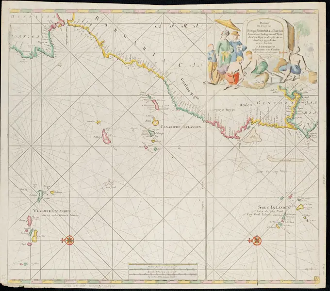
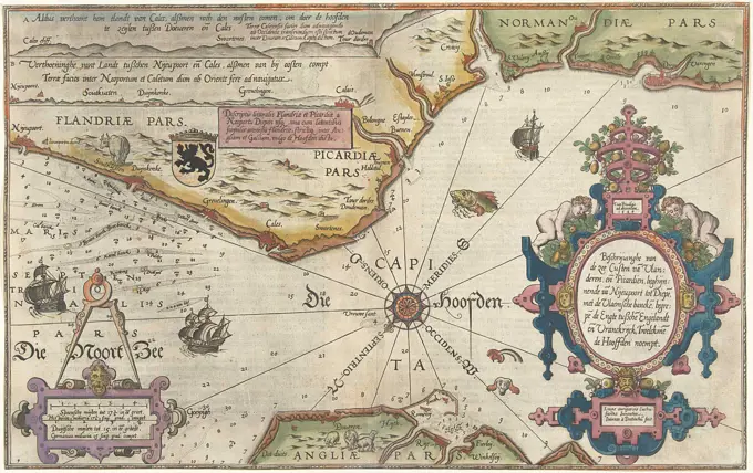
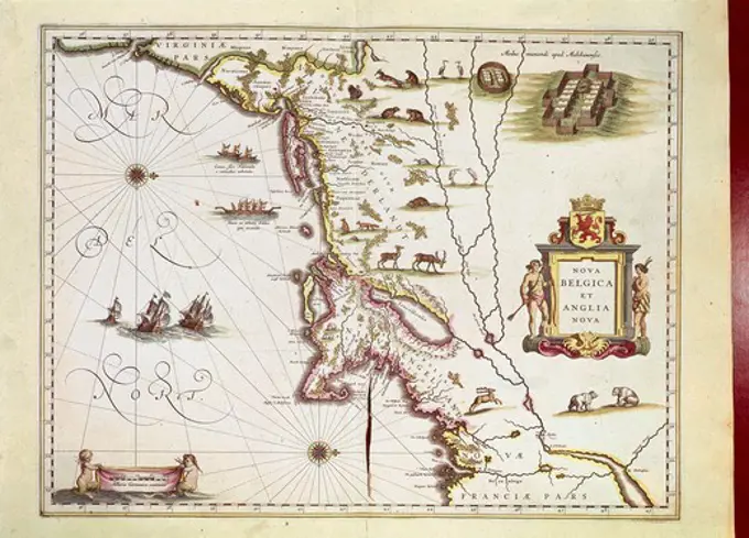
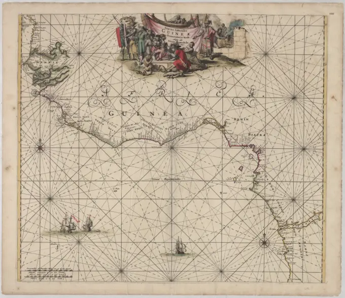
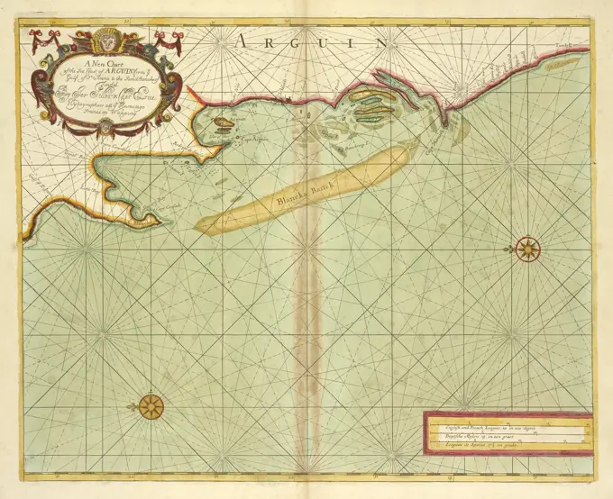
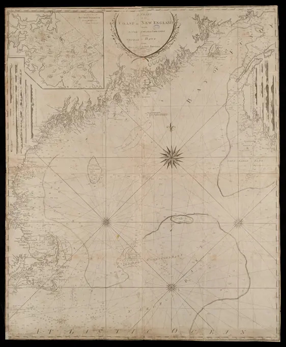
Early Maps and Cartography
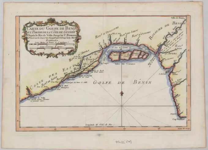
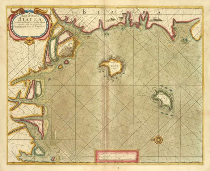
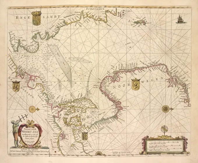
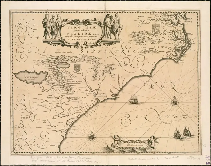
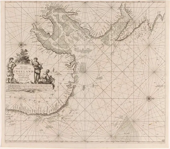
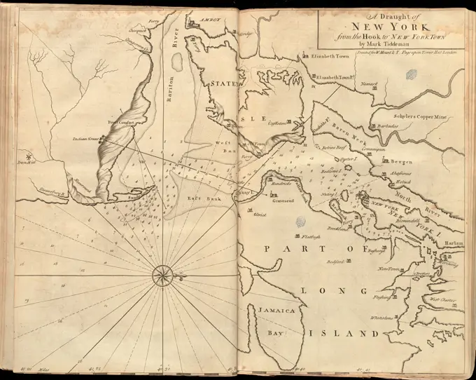
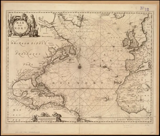
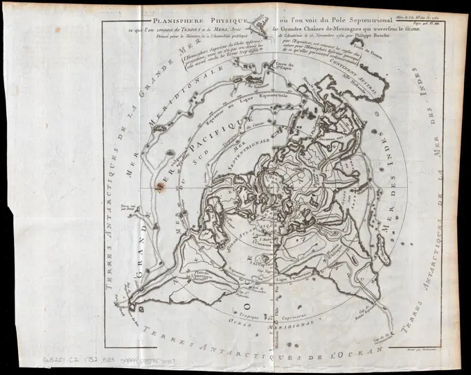
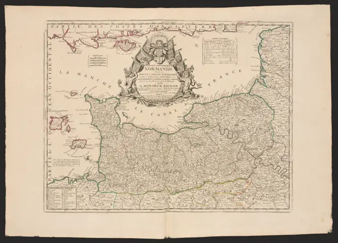
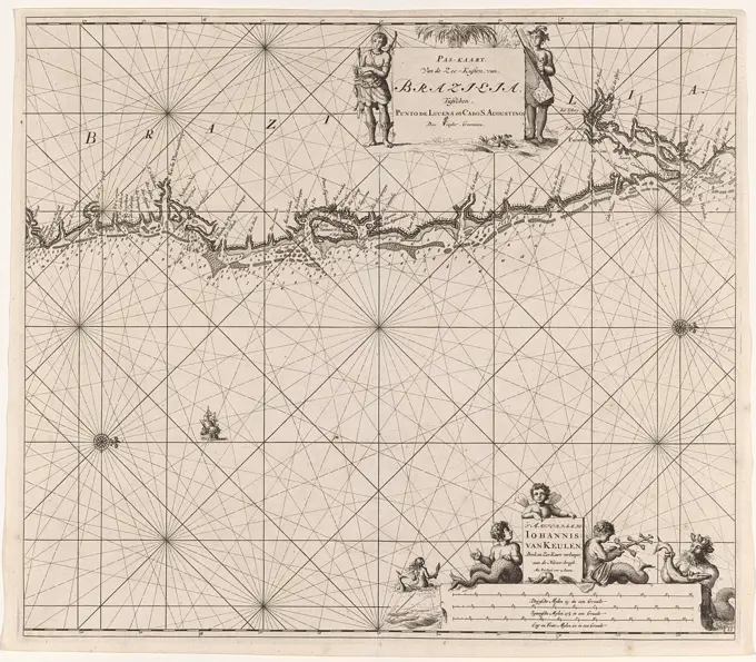
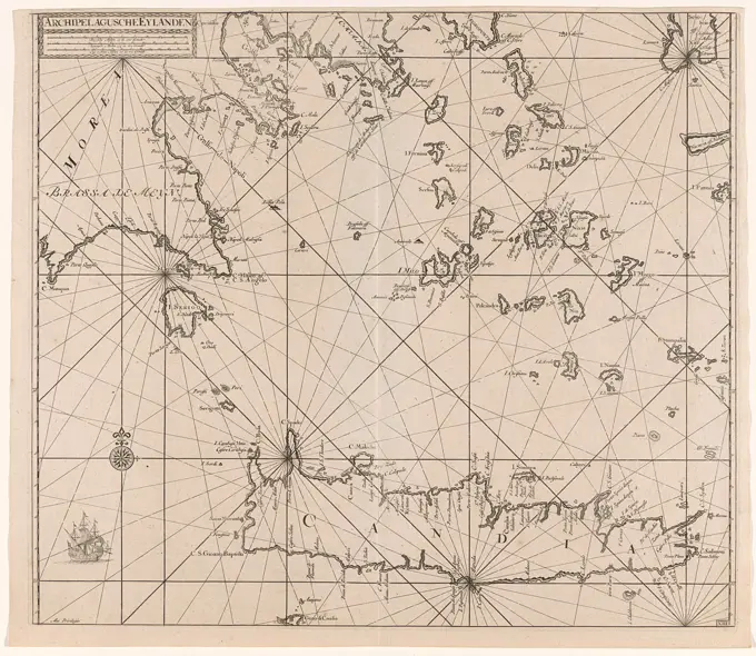
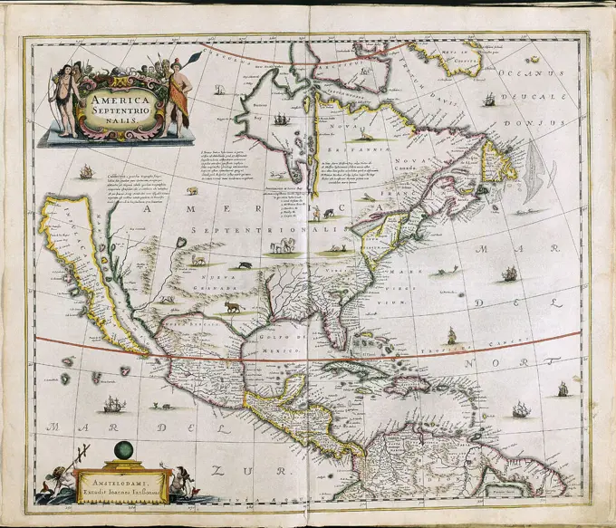
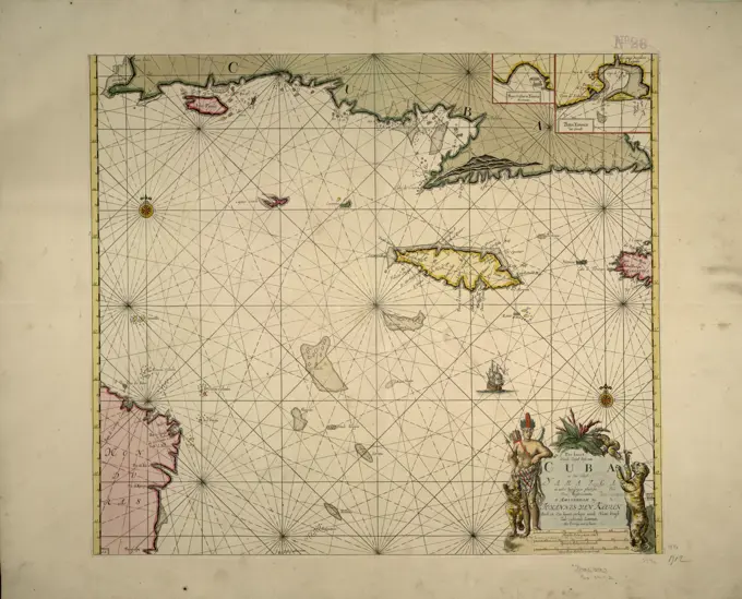
Detailed historical maps depicting various regions, with illustrations and navigational elements. A blend of artistry and geography from the 17th century.

Detailed historical maps depicting various regions, with illustrations and navigational elements. A blend of artistry and geography from the 17th century.