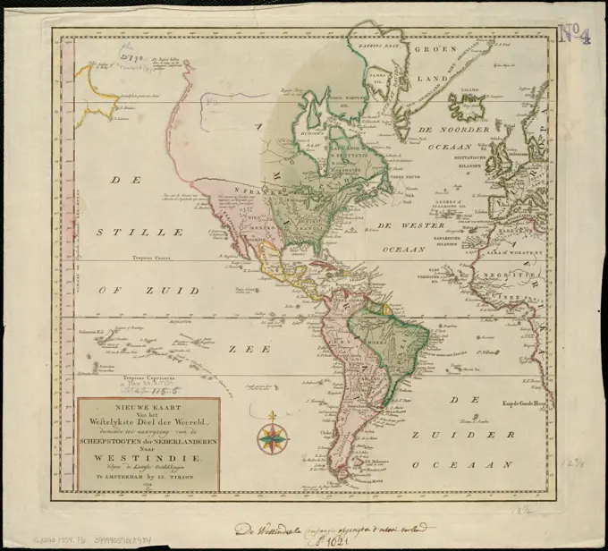
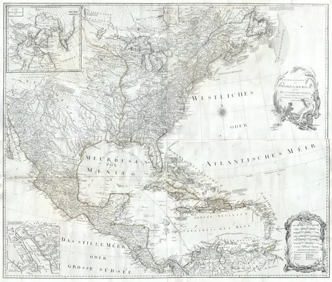
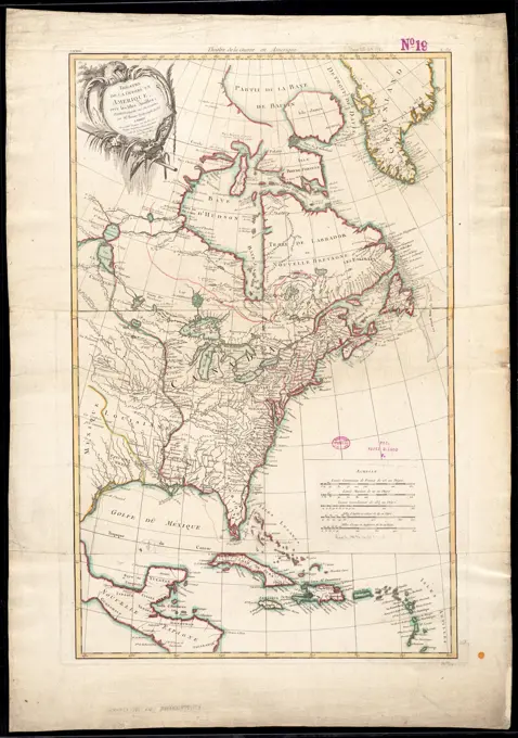
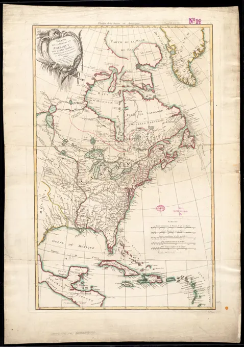
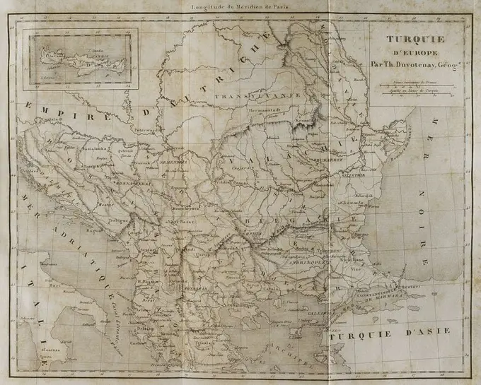
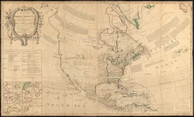
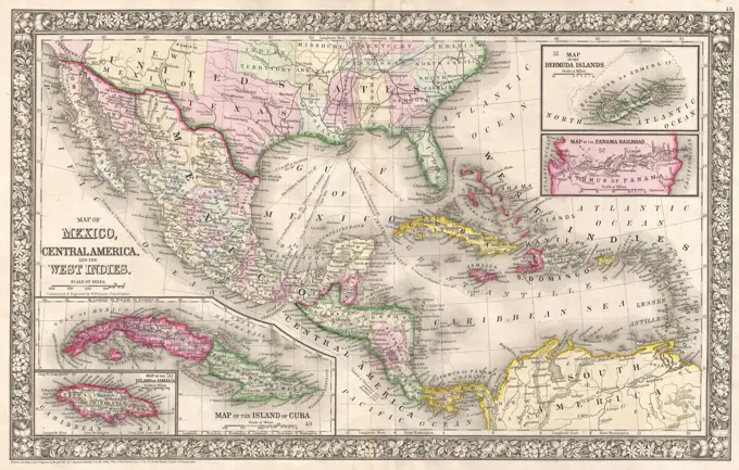
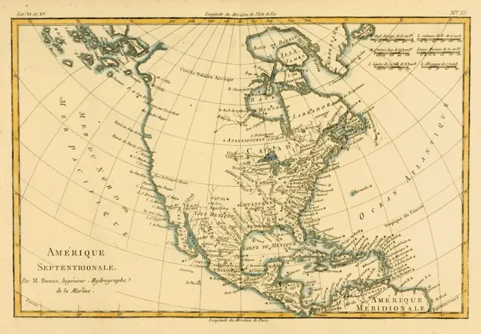
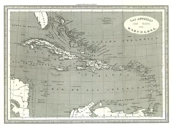
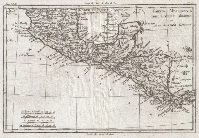
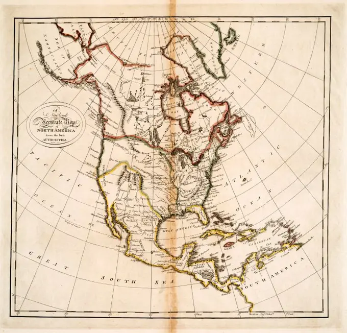
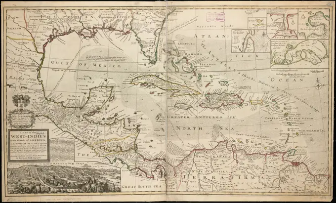
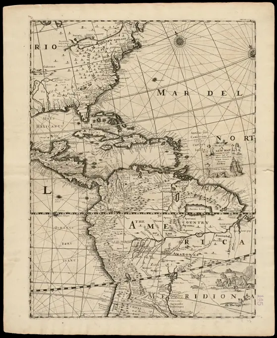
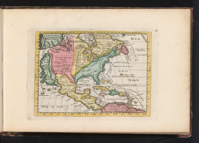
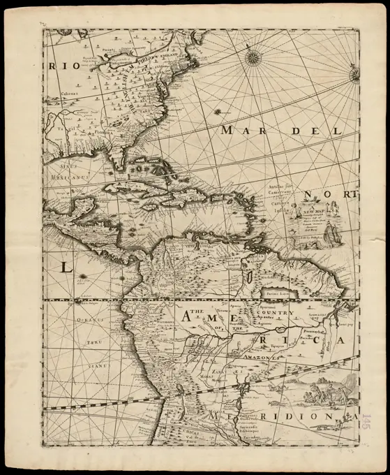
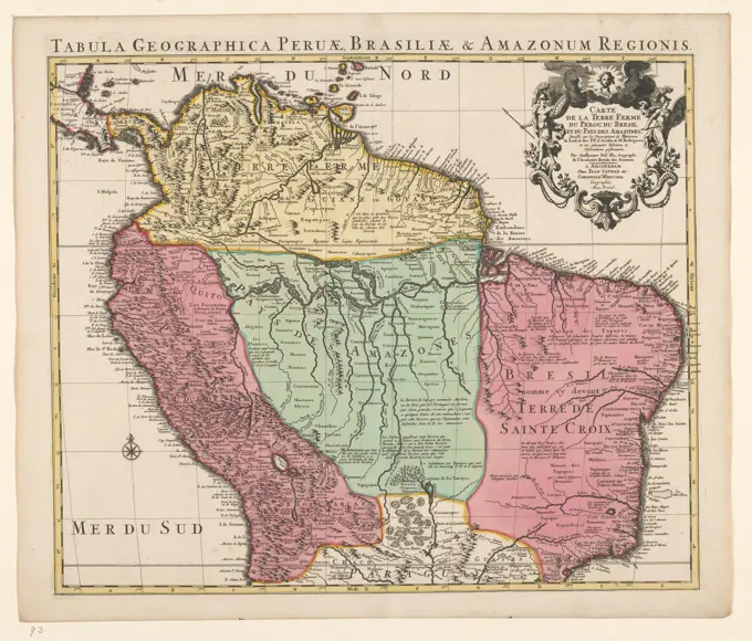
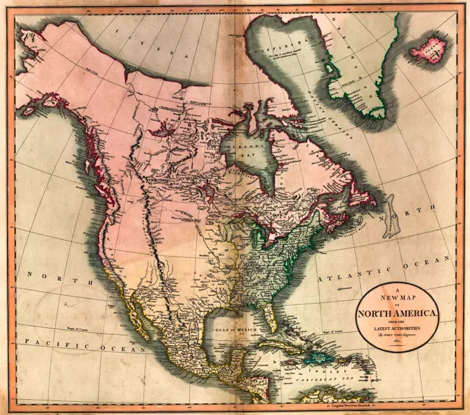
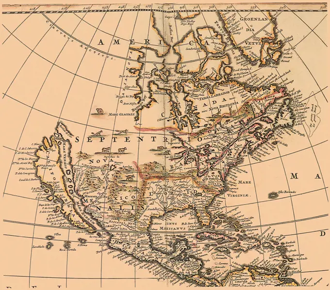
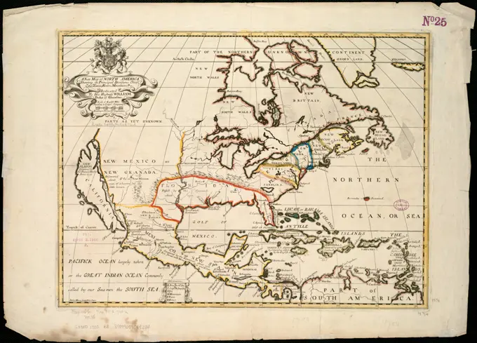
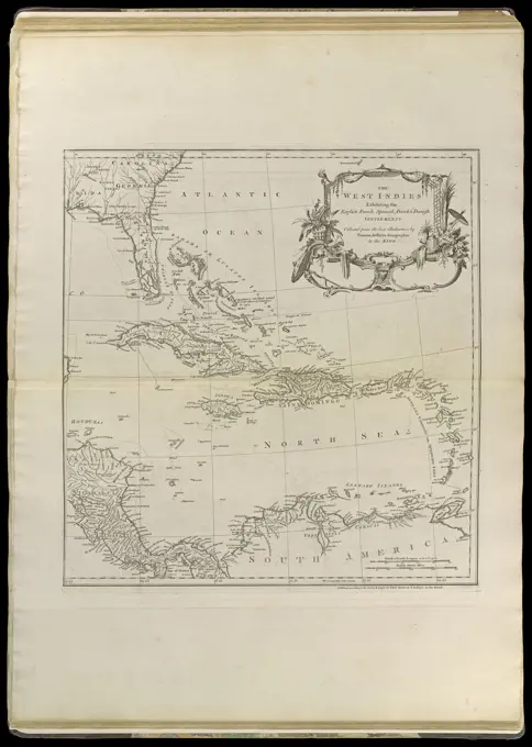
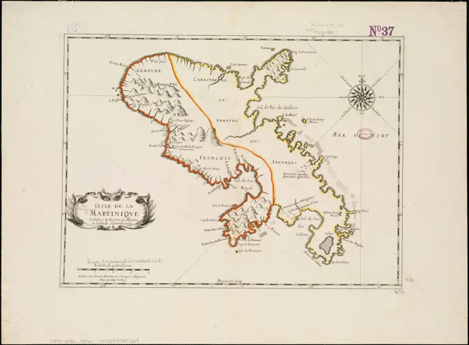
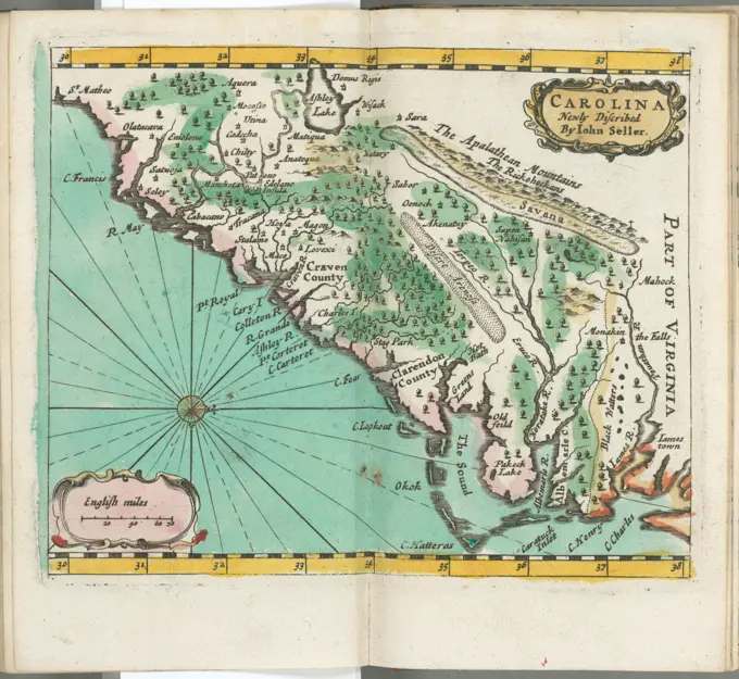
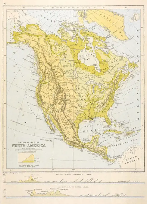
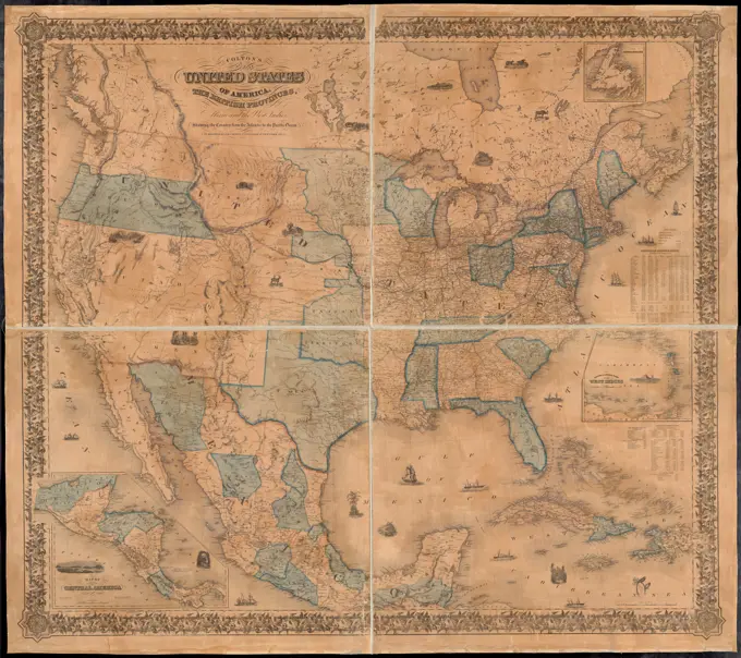
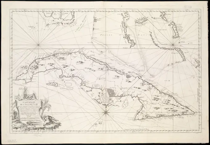
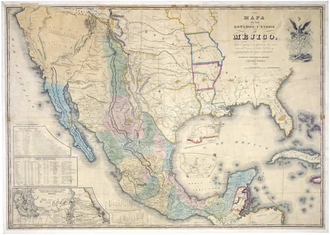
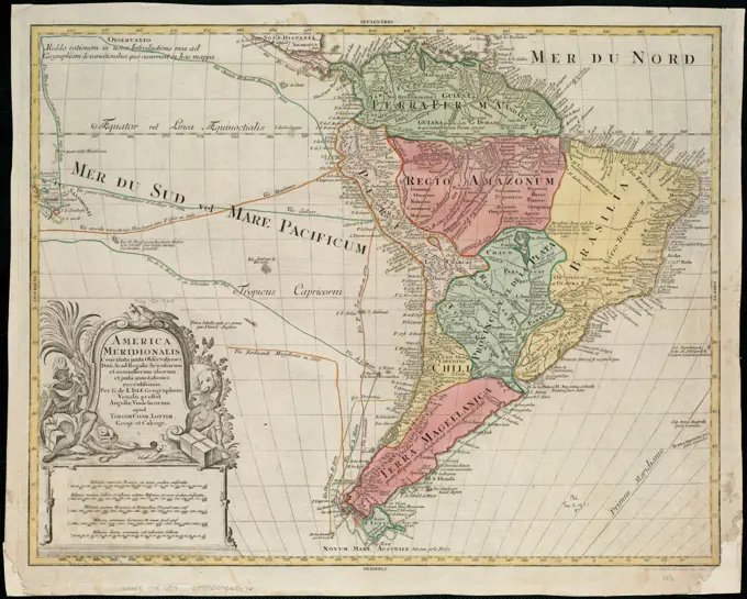
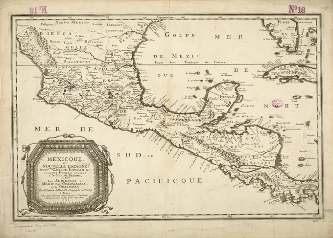
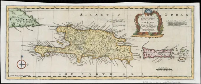
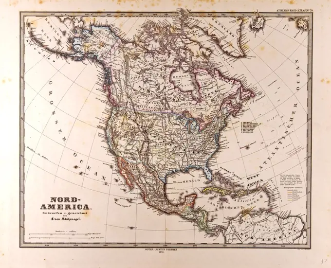
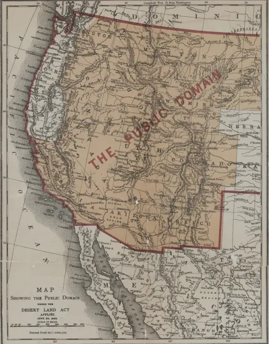
Early North American Maps

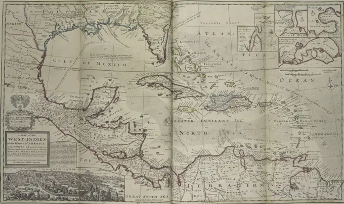
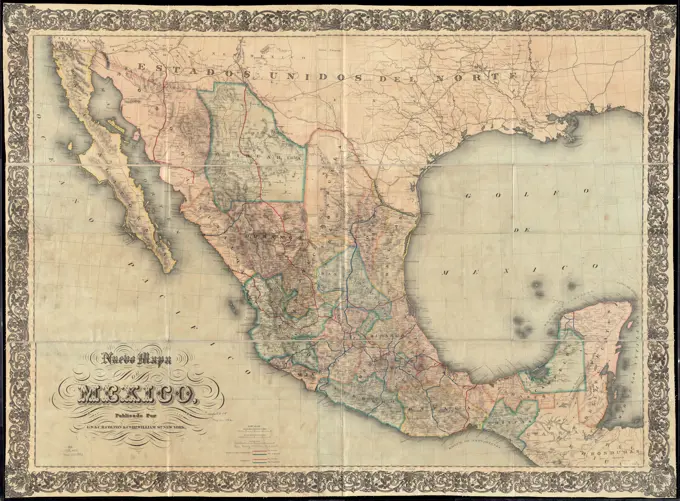
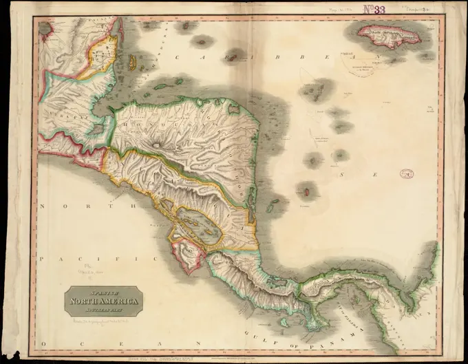
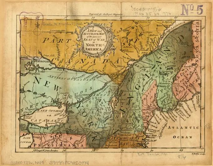
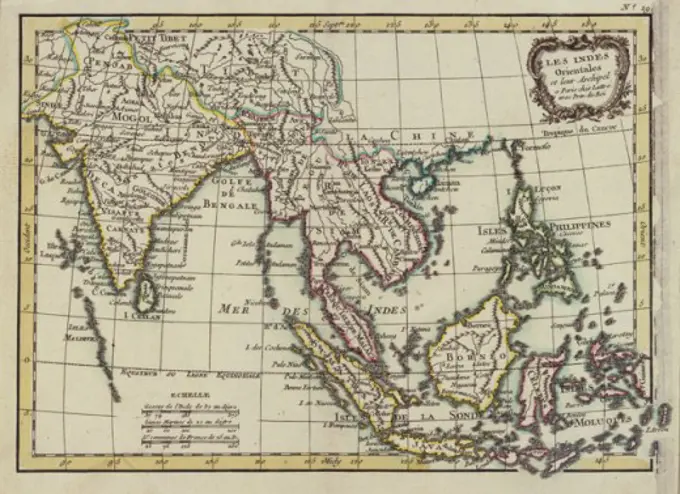
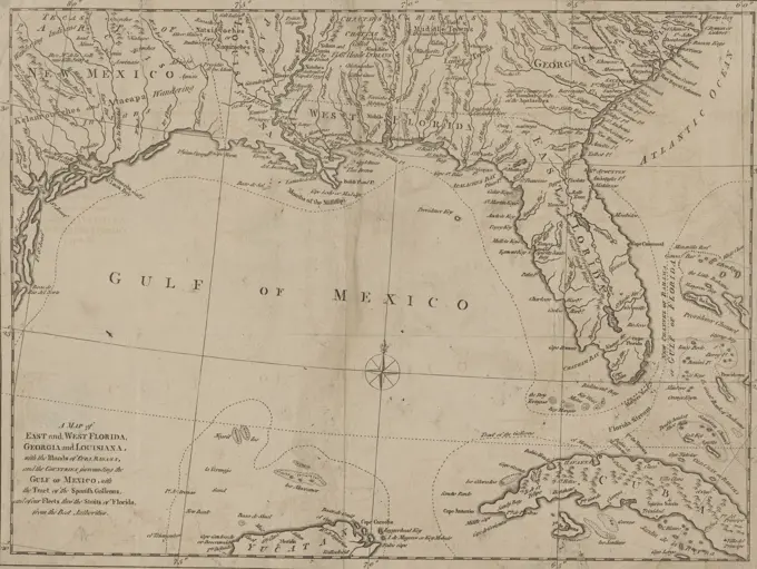
Vintage maps of territories in North America and the West Indies, showcasing historical outlines and boundaries from the 1700s to early 1800s.

A map of the West-Indies or the islands of America in the North Sea : with ye adjacent countries; explaning sic what belongs to Spain, England, France, Holland &c. also ye trade winds, and ye several tracts made by ye galeons and flota from place to place ; according to ye newest and most exact observations , Caribbean Area, Maps, Early works to 1800, West Indies, Maps, Early works to 1800, Spanish Main, Maps, Early works to 1800 Norman B. Leventhal Map Center Collection