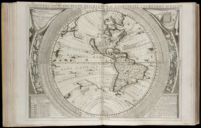
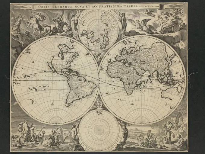
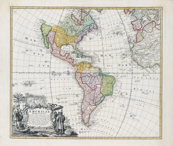
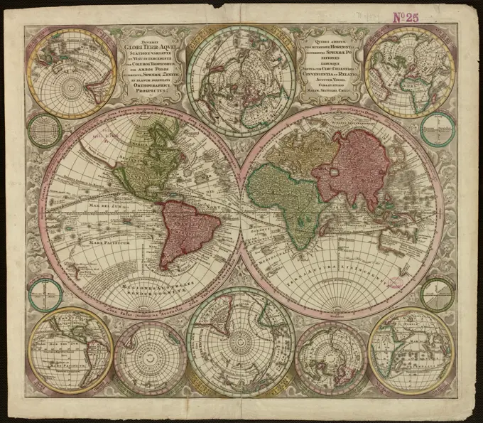
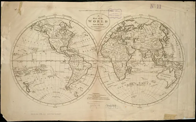
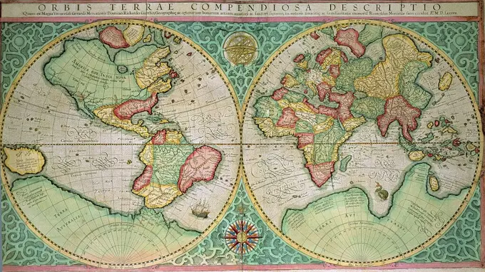
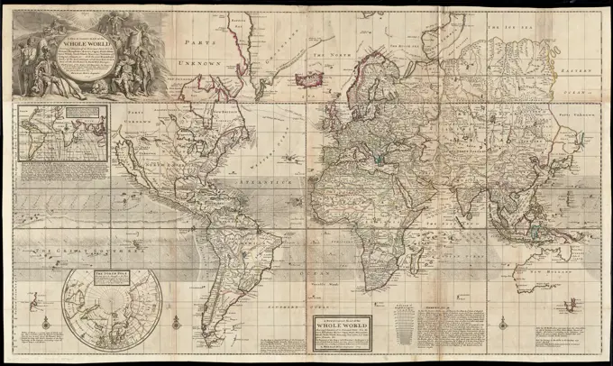
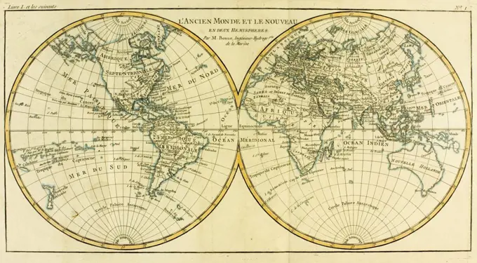
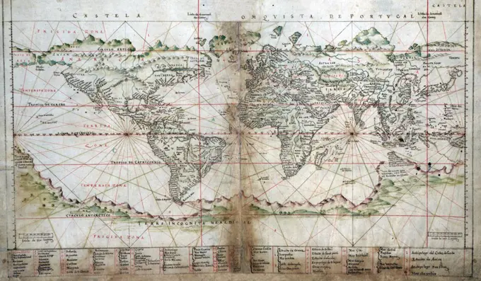
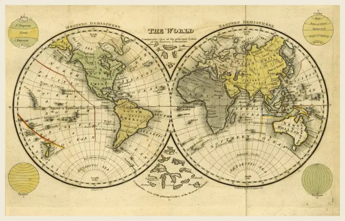
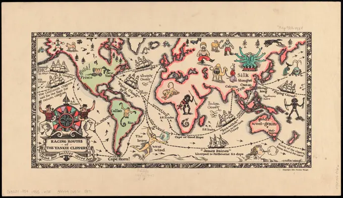
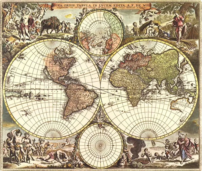
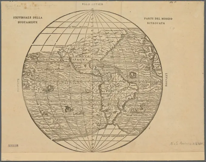
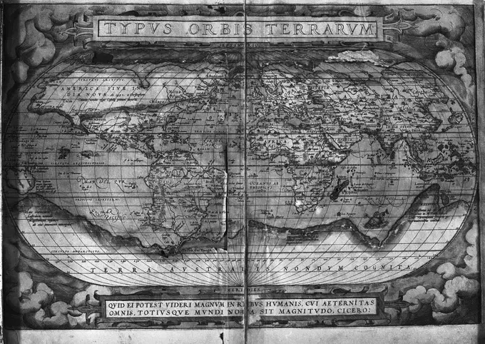
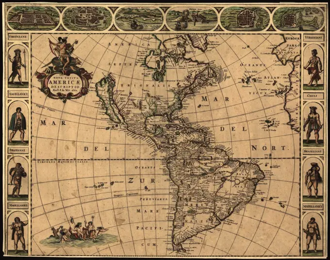
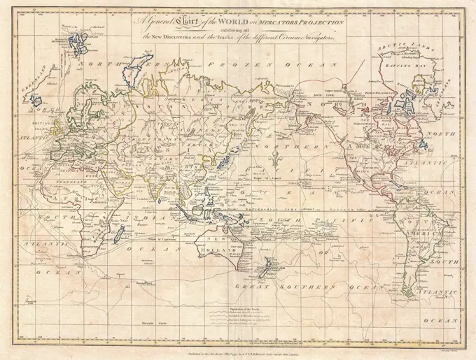
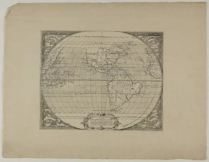
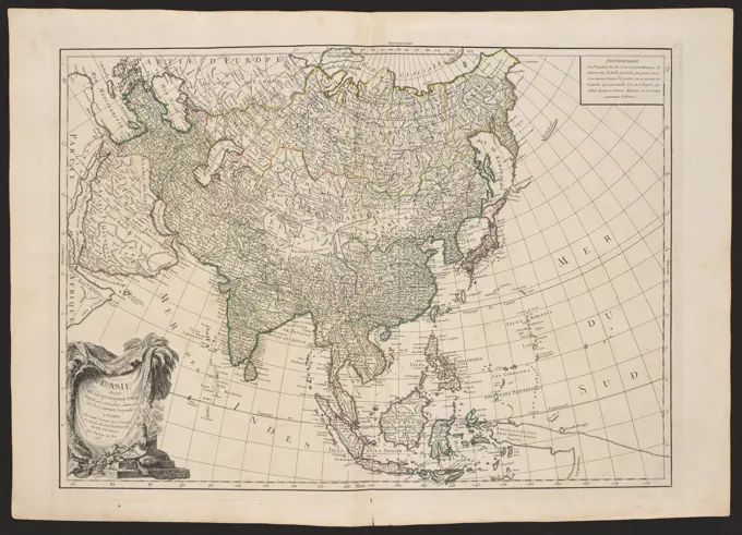
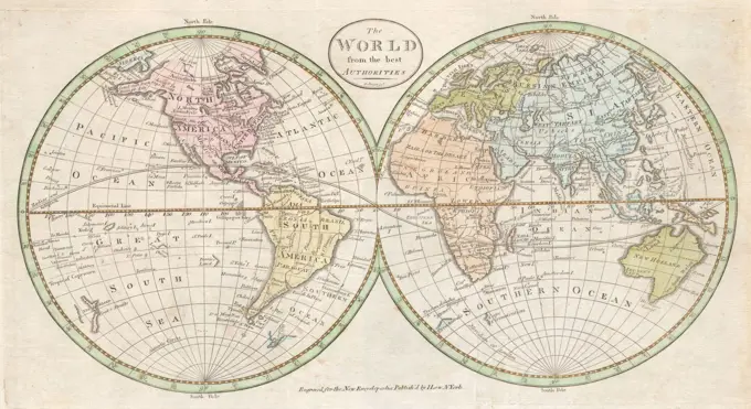
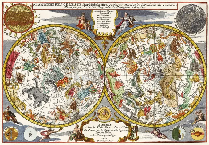
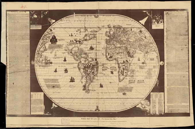
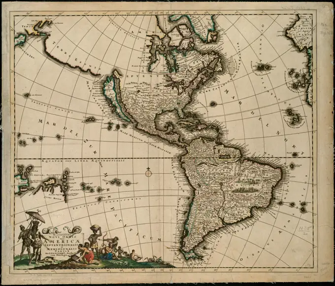
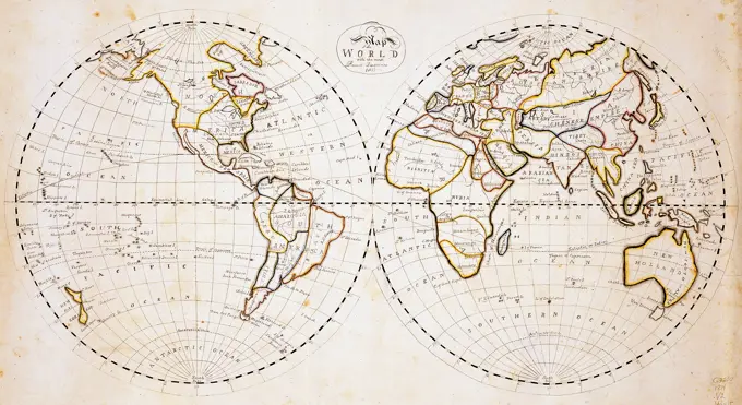
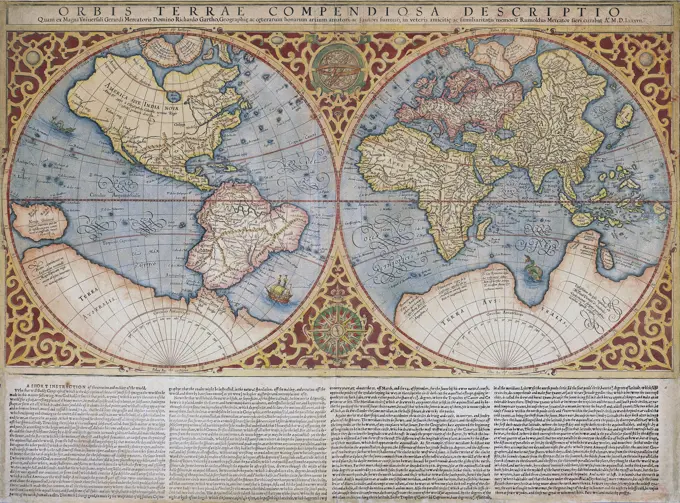
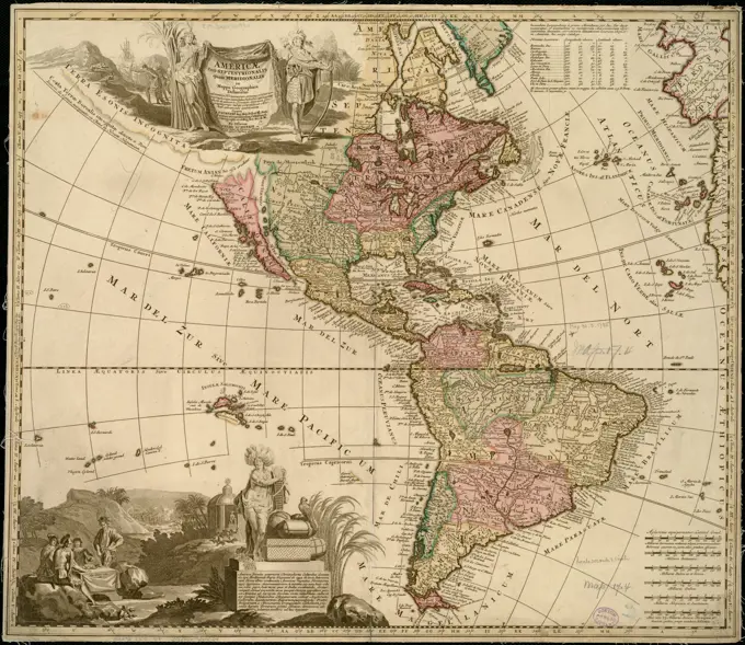
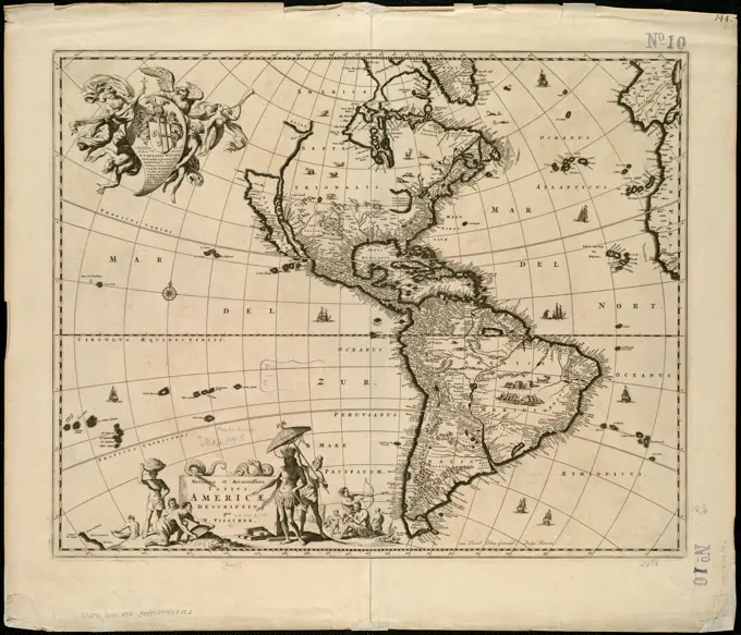
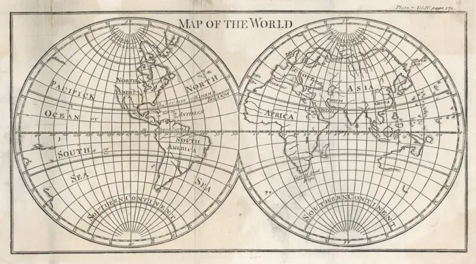
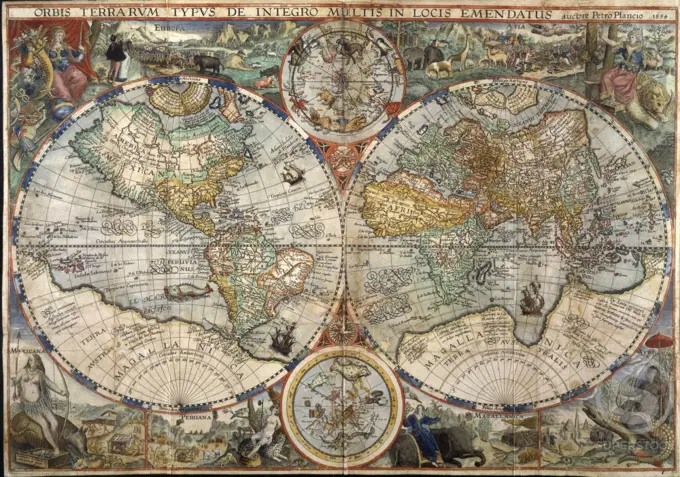
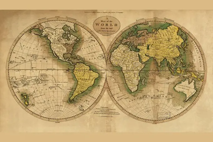
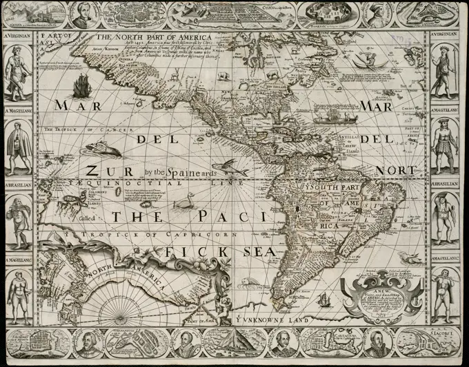
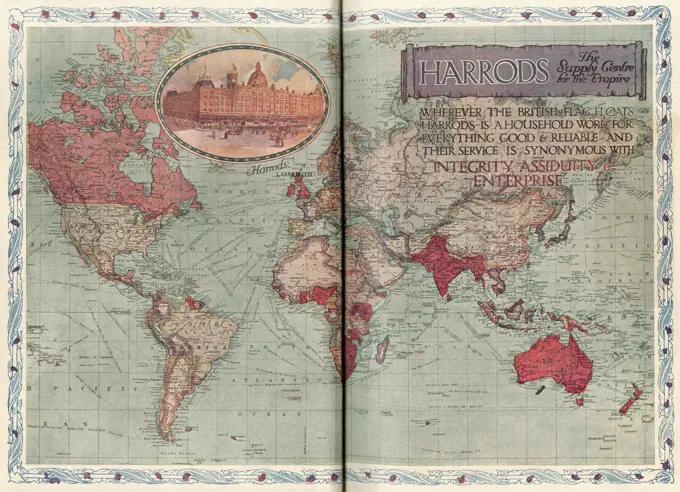
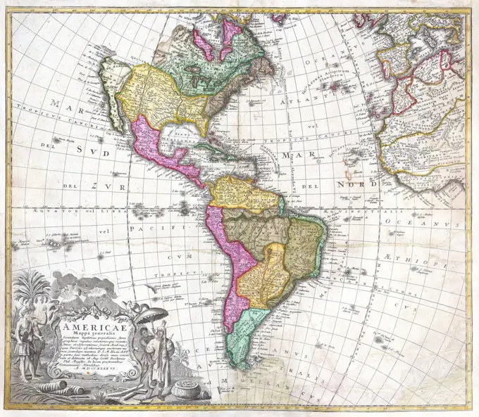
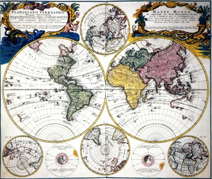
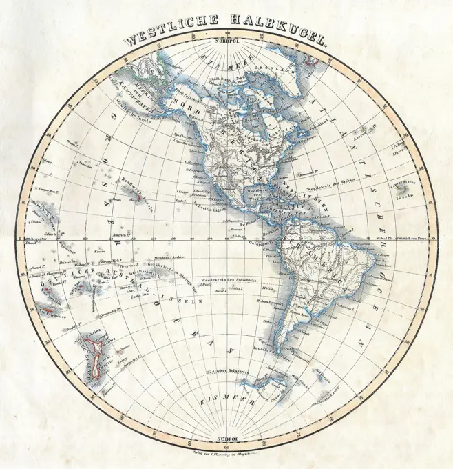
Early World Maps

Compilation of antique world maps featuring double hemisphere designs, planetary models, and intricate geographical details.

The text at the top of this world map by Abraham Ortelius reads: Typus Orbis Terrarum (Map of the World). The map dates to 1570 and is the first map of the world to appear in a standard atlas and is thus of fundamental importance to the history of cartography. Centered on the Atlantic Ocean, the map covers the entire world from pole to pole. The general presentation of an oval projection derived from earlier maps by Appianus and Bordonius, Cartographically it is derived from the world of Gerard Mercator (1569), Gastaldi (1561) and Gutierrez. The text at the bottom is a quote attributed to the