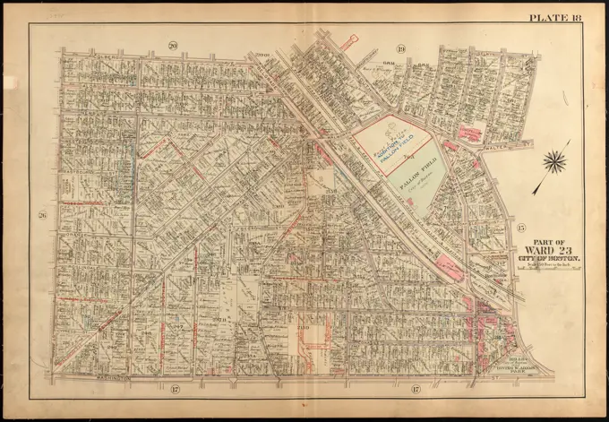
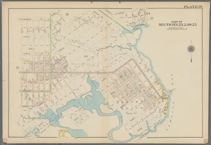
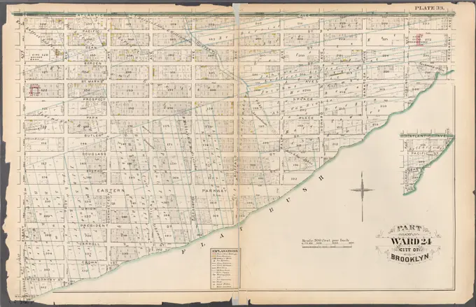
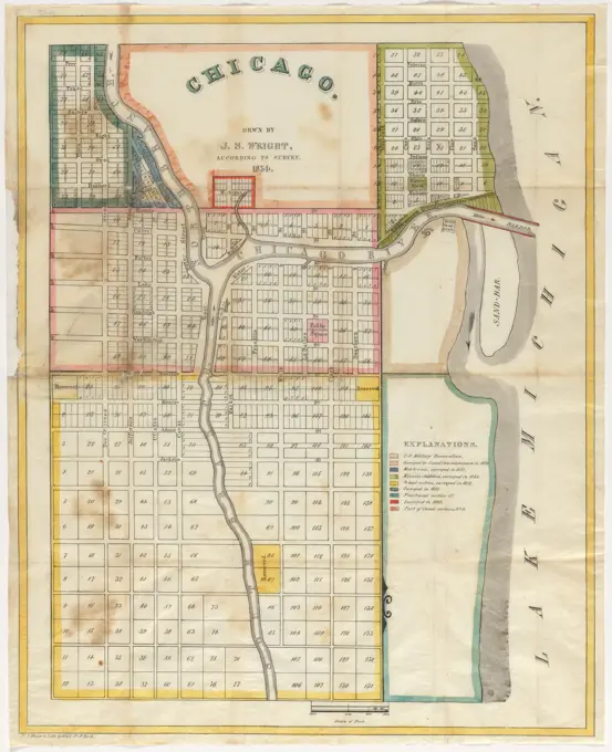
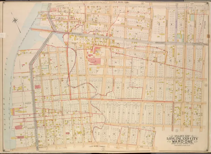
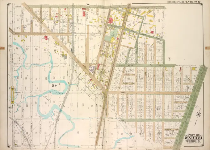
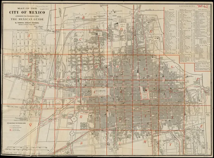
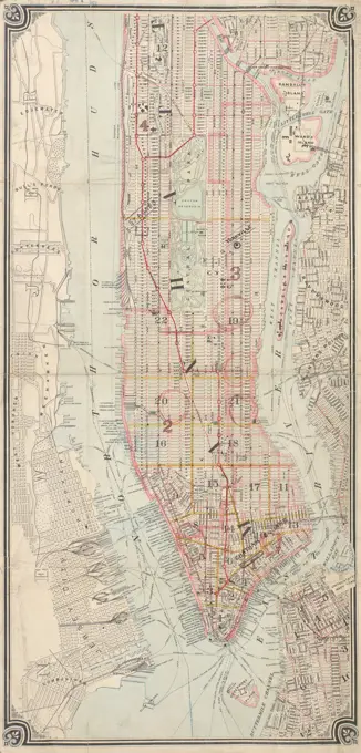
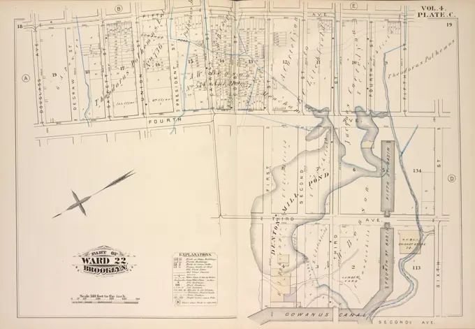
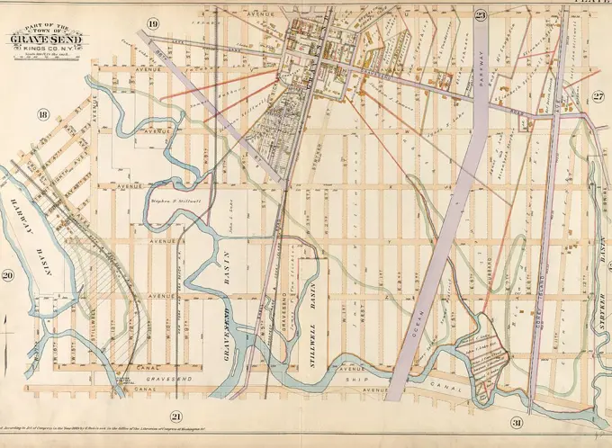
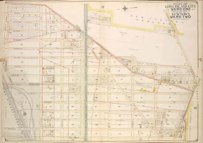
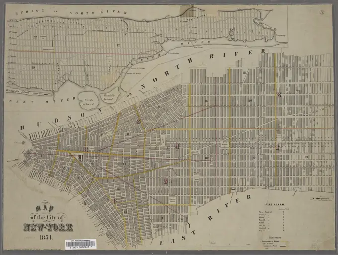
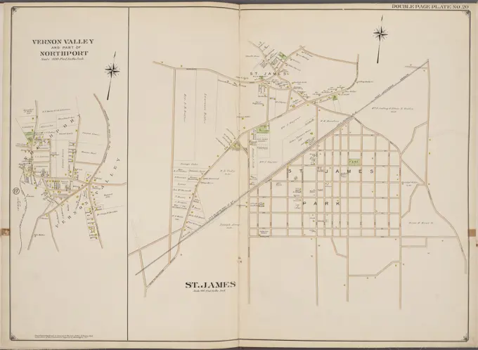
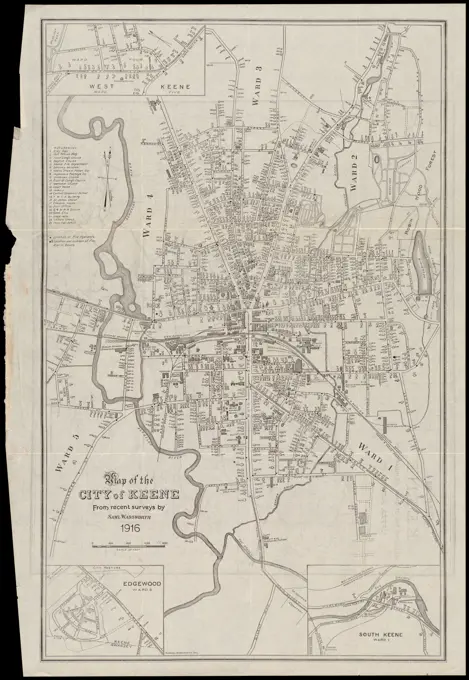
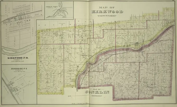
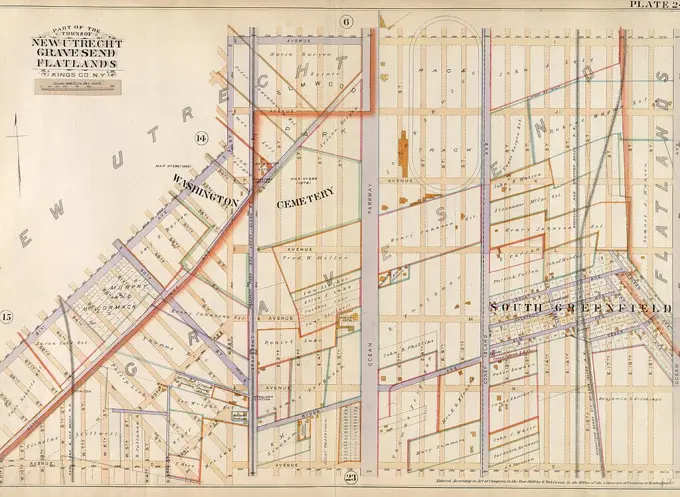
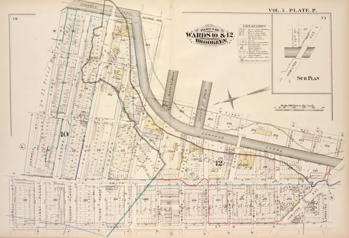
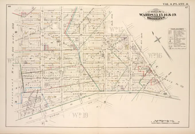
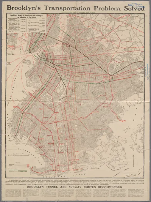
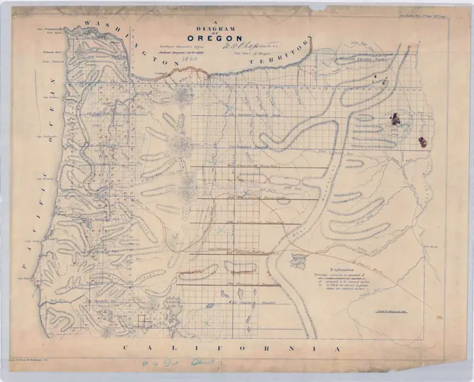
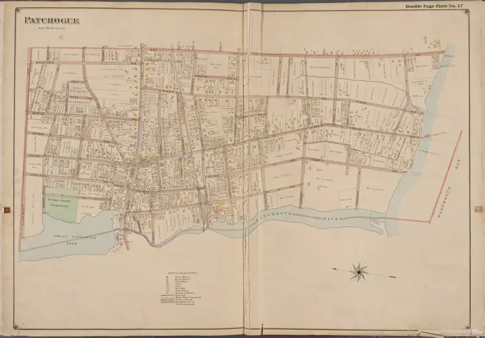
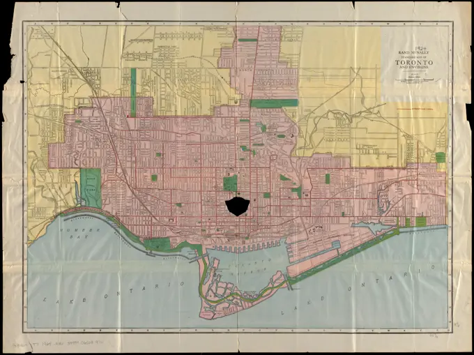
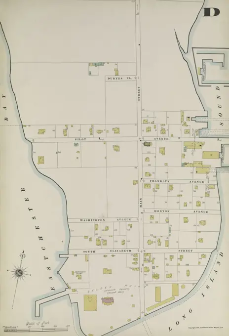
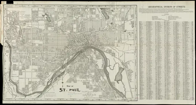
Historic City Maps
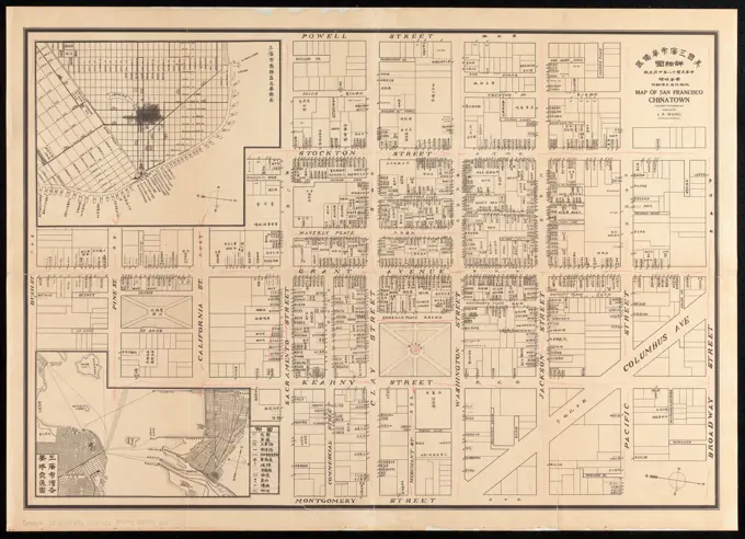
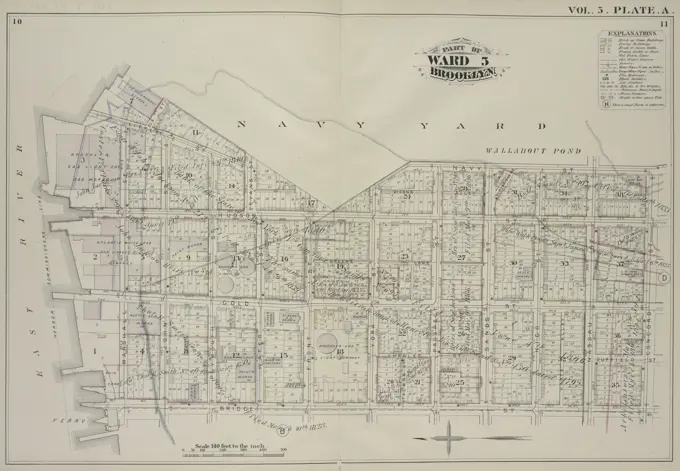
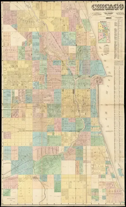
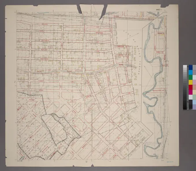
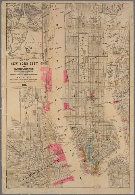
Detailed maps of various U.S. cities from the late 19th and early 20th centuries, highlighting real property and urban layouts with beautiful cartographic styles.
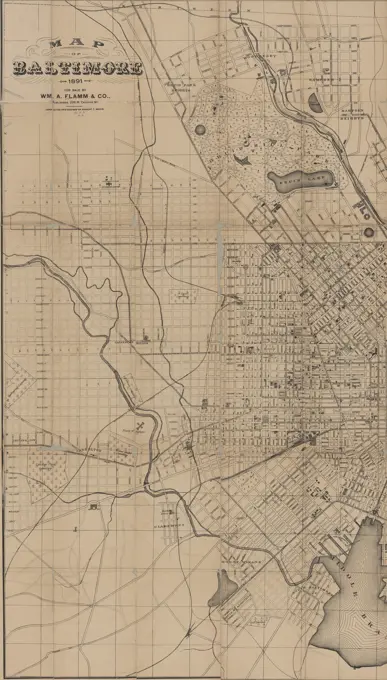
Detailed maps of various U.S. cities from the late 19th and early 20th centuries, highlighting real property and urban layouts with beautiful cartographic styles.