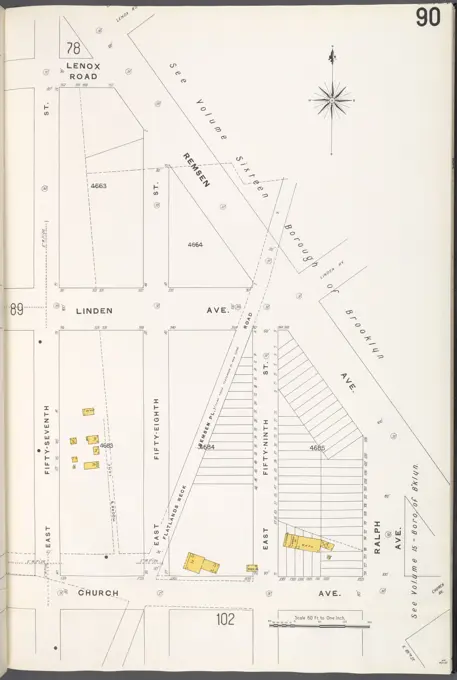
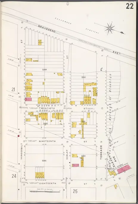
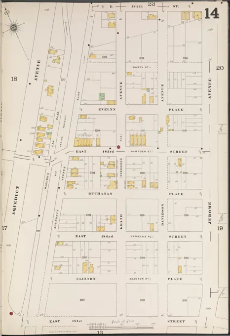
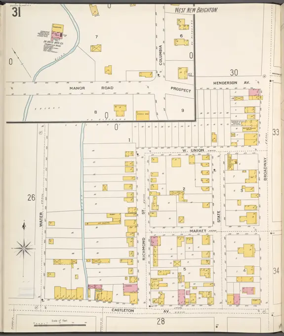
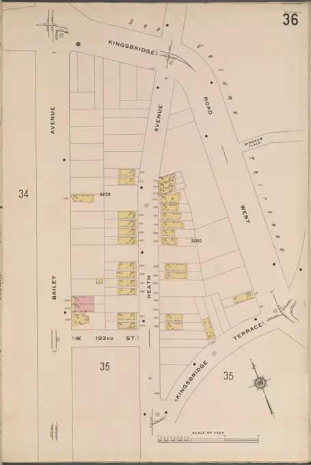
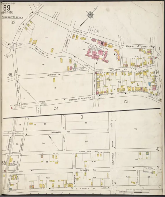
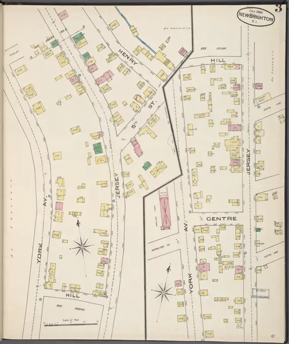
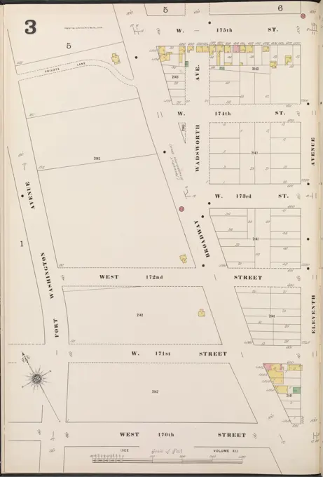
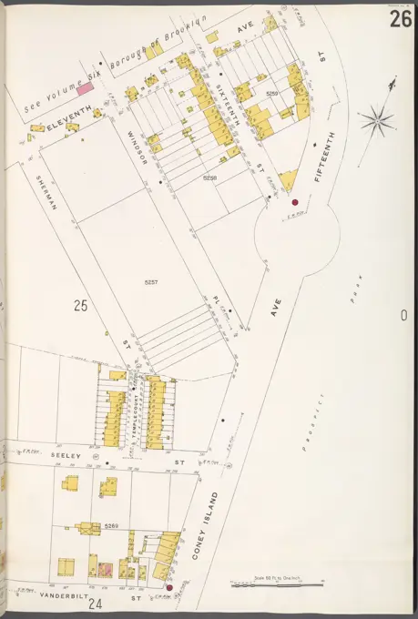
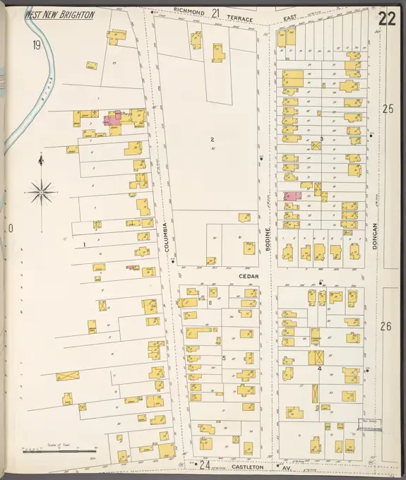
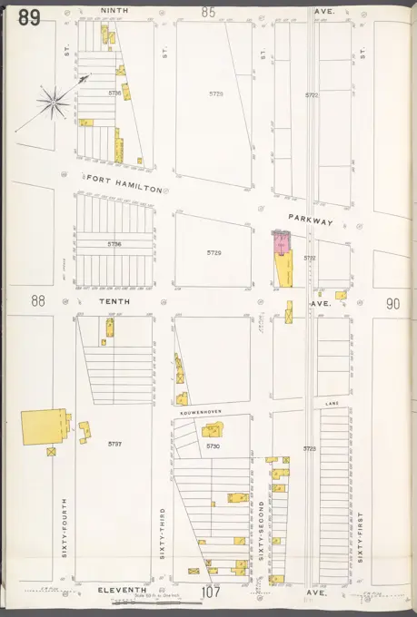
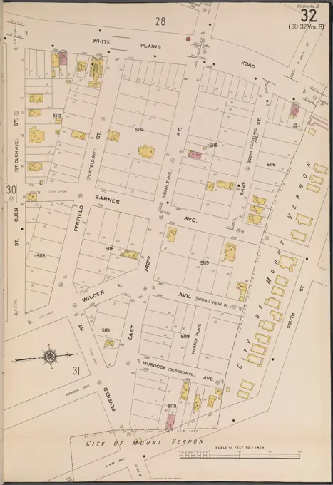
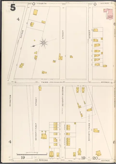
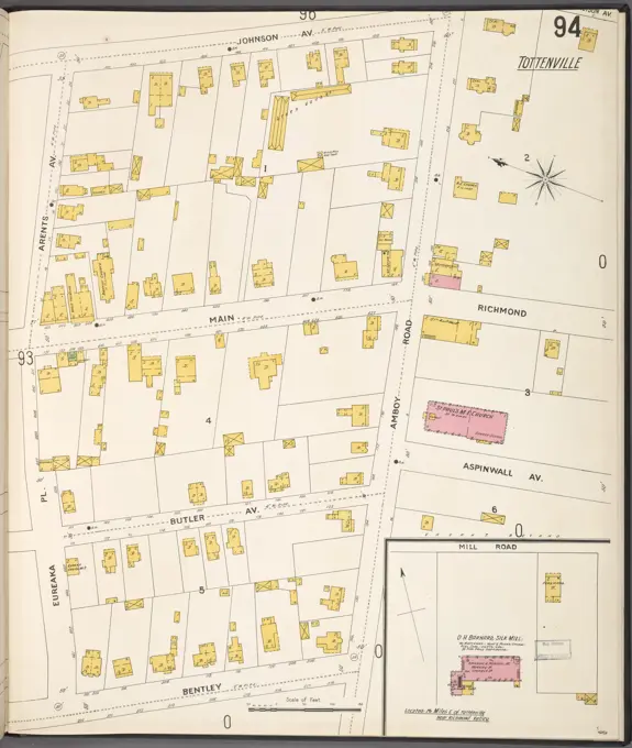
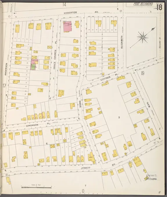
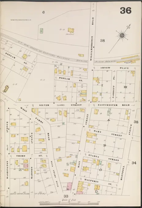
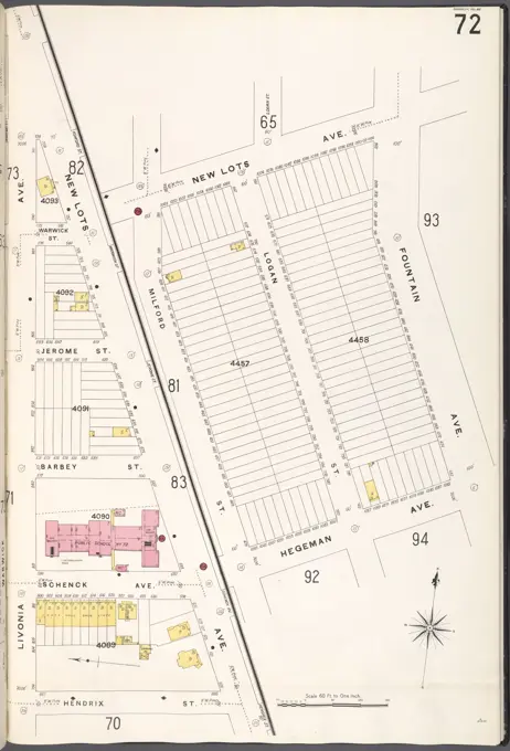
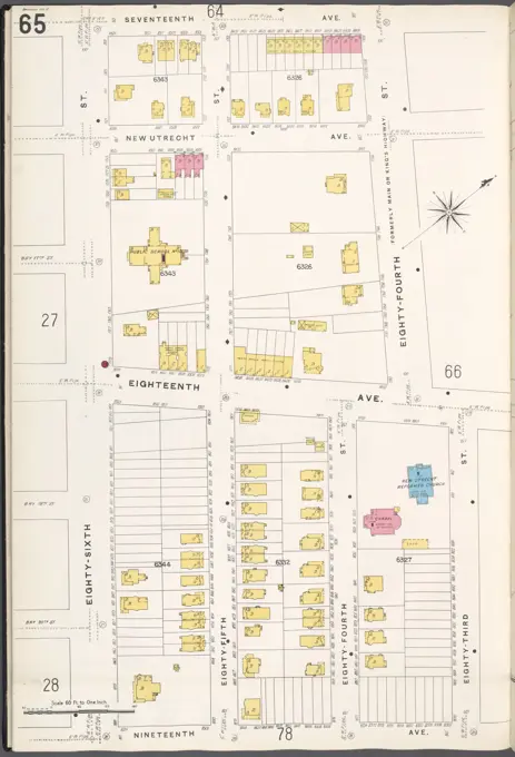
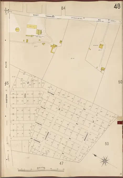
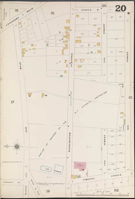
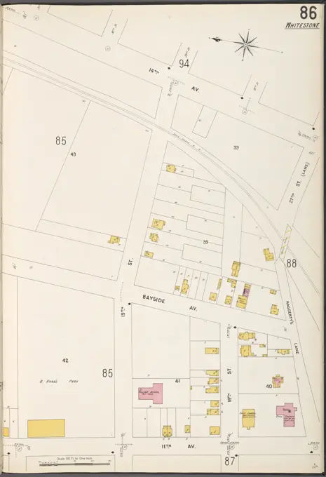
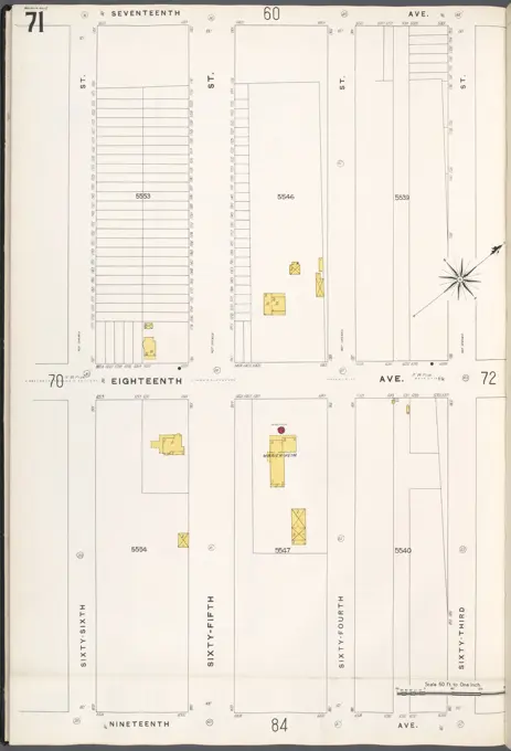
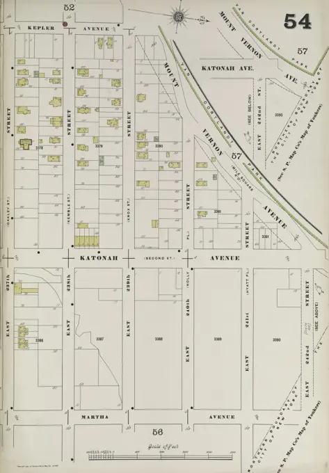
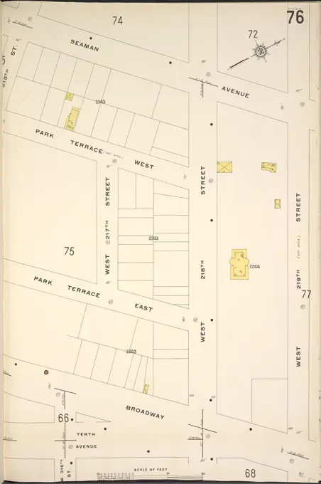
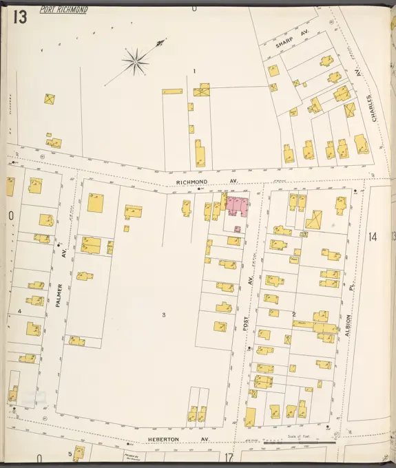
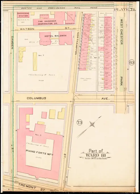
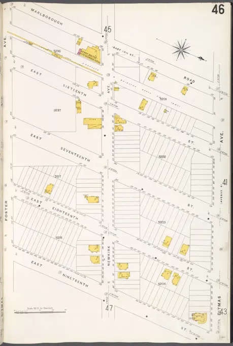
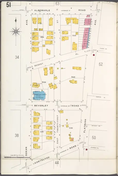
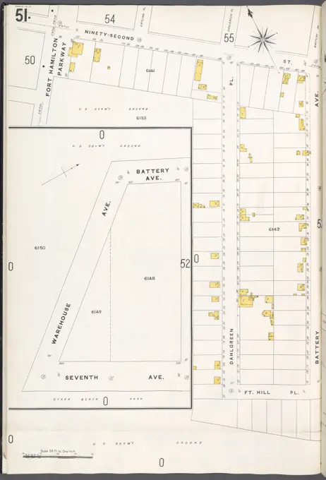
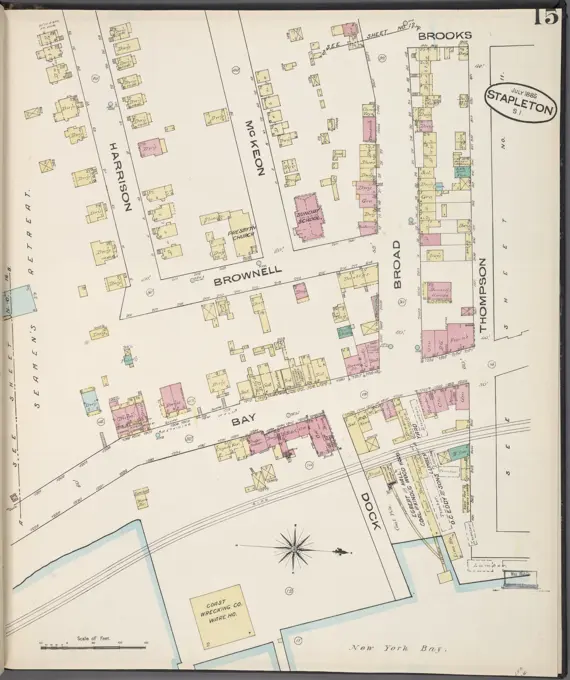
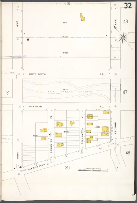
Historic Fire Insurance Maps
Detailed historical maps showcasing real property in New York, featuring streets, building outlines, and boundary markers from the early 1900s to 1915.

Detailed historical maps showcasing real property in New York, featuring streets, building outlines, and boundary markers from the early 1900s to 1915.