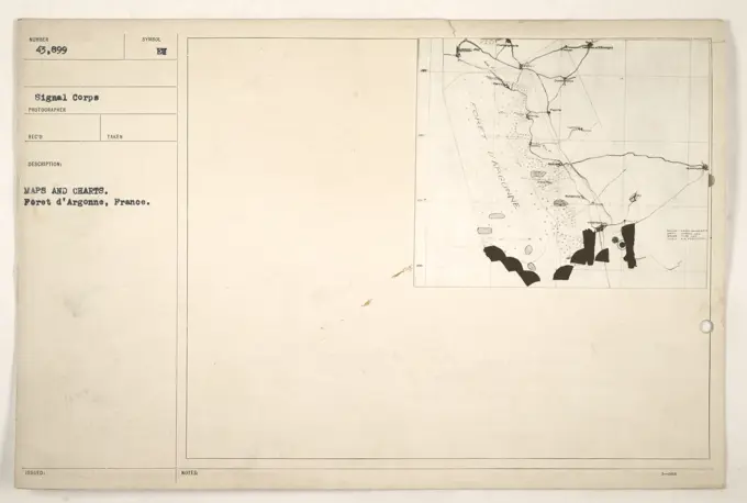
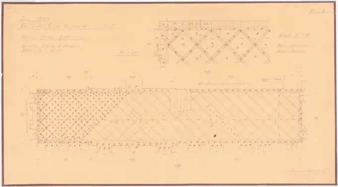
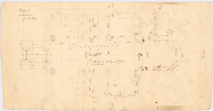
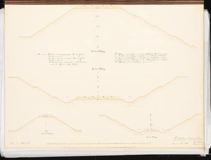
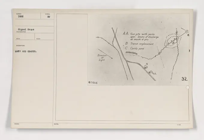
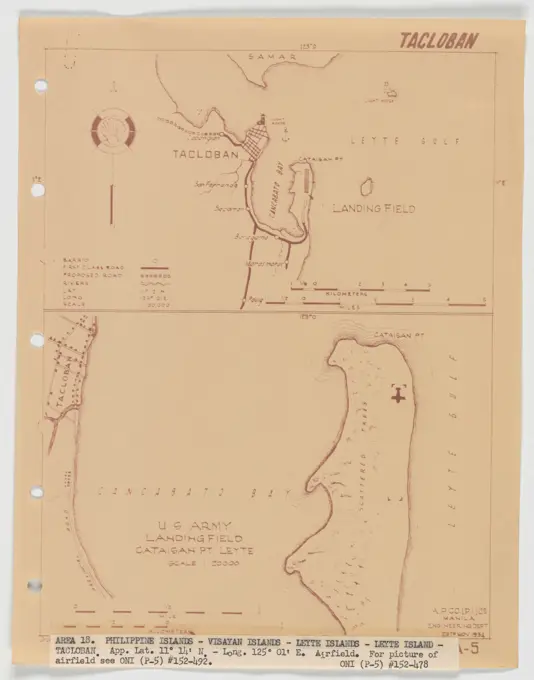
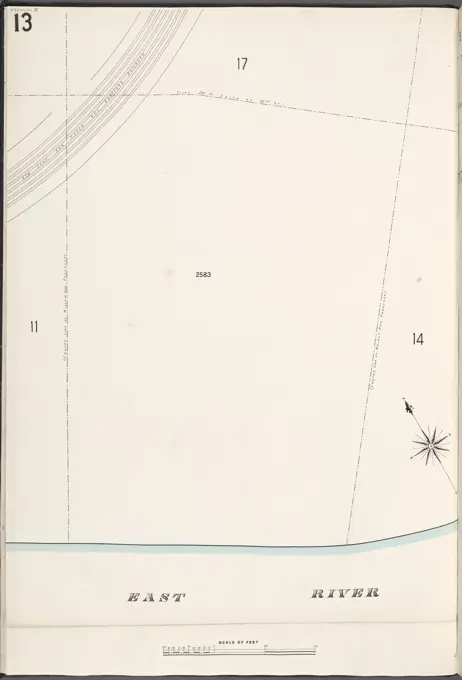
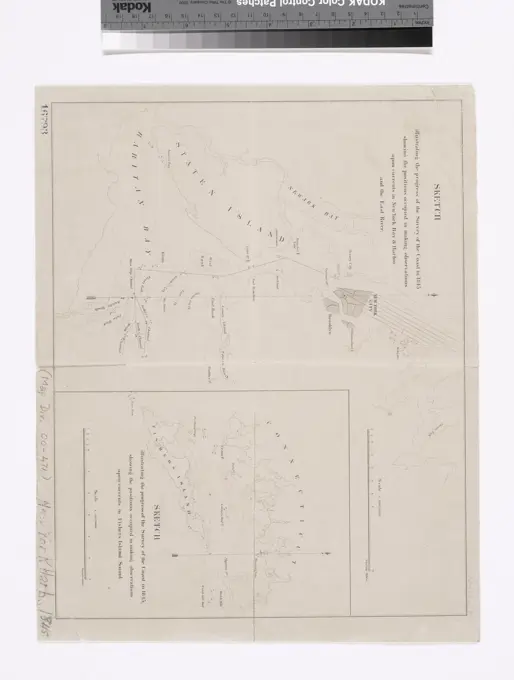
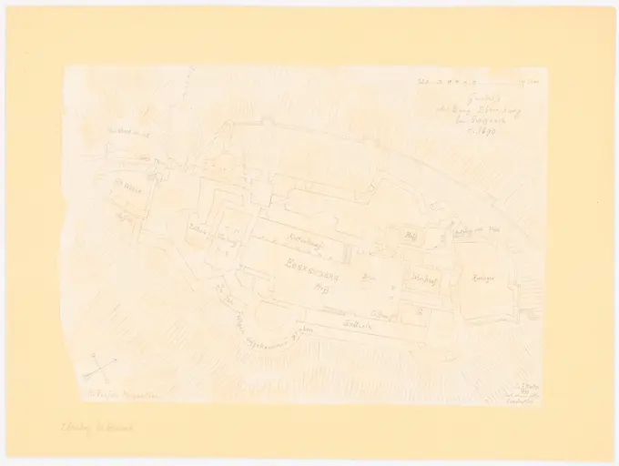
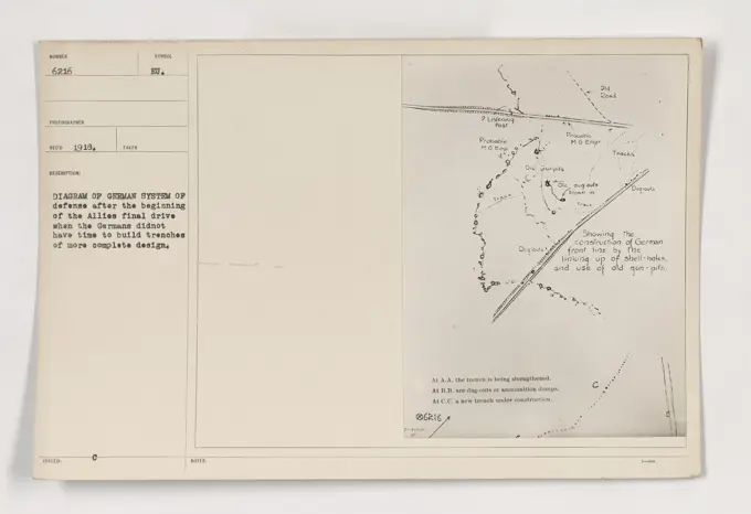
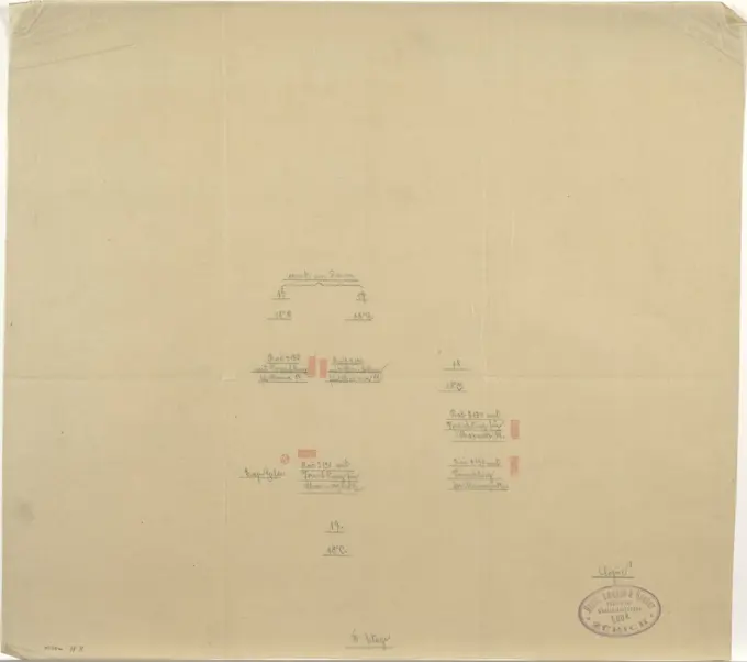
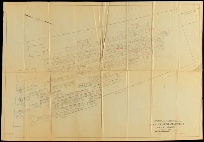
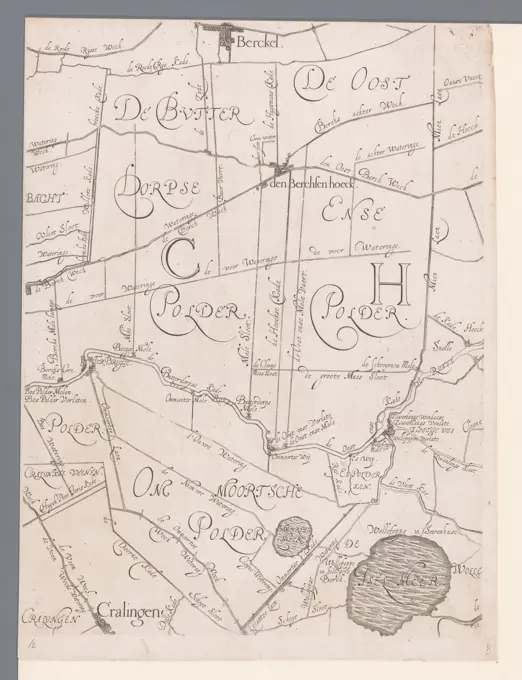
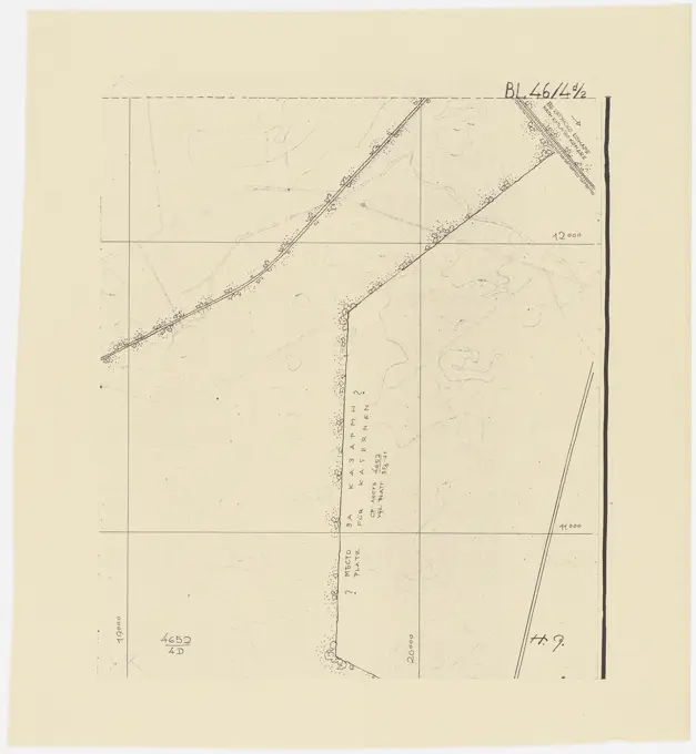
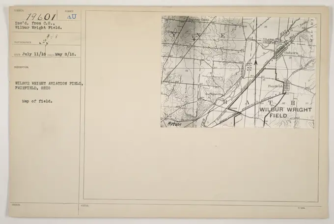
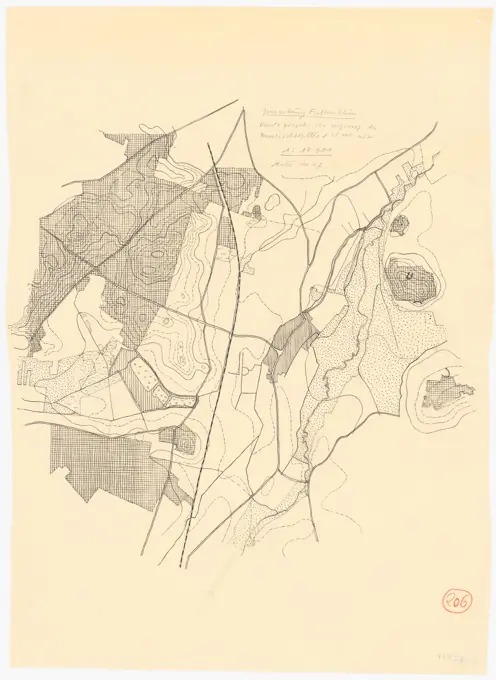
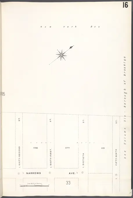
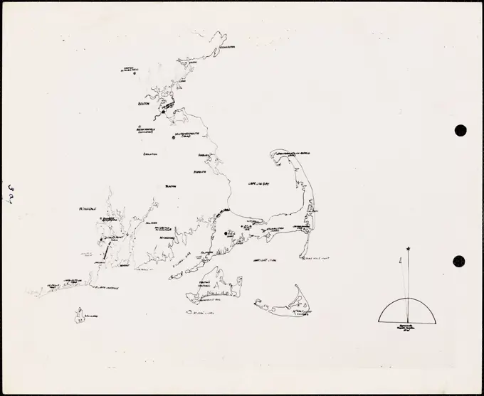
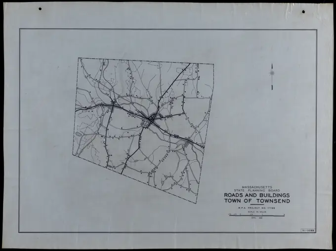
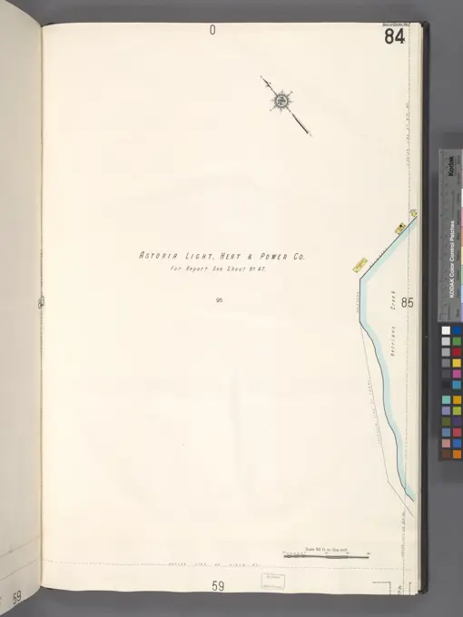
Historic Maps and Plans
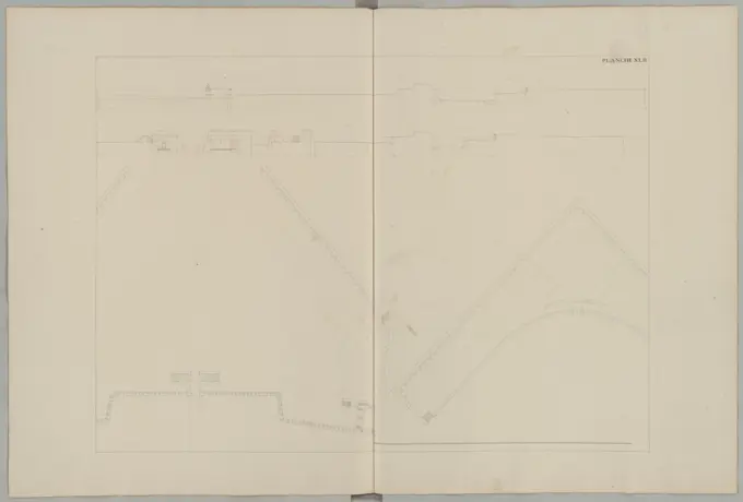
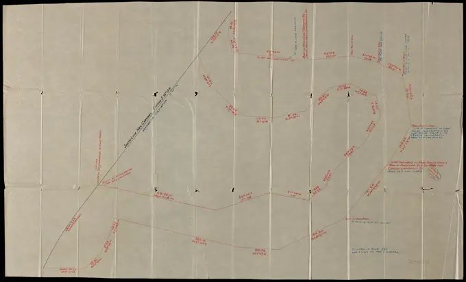
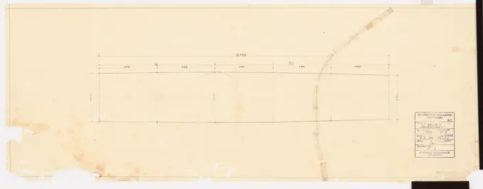
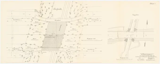
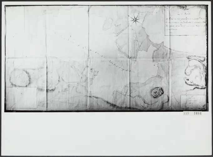
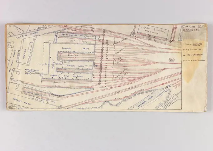
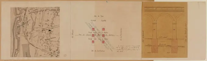
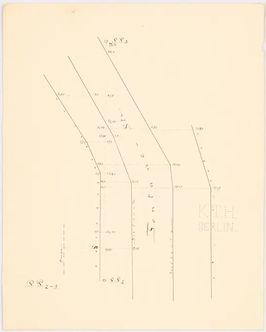
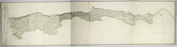
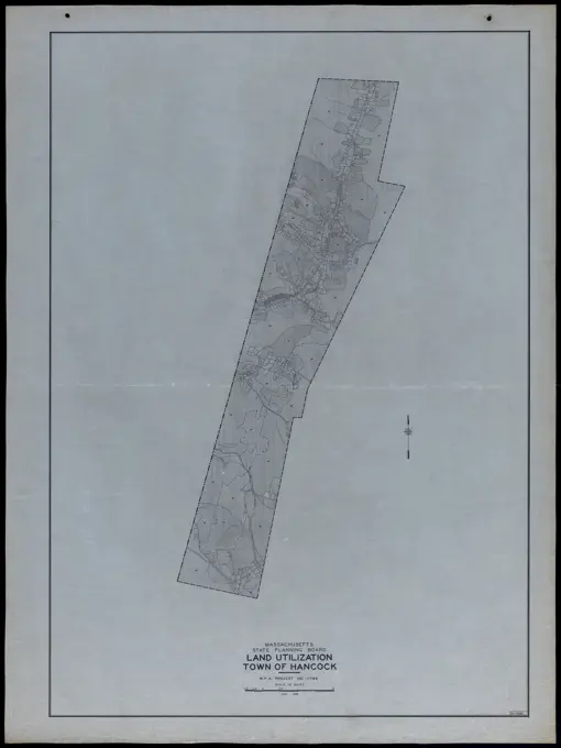
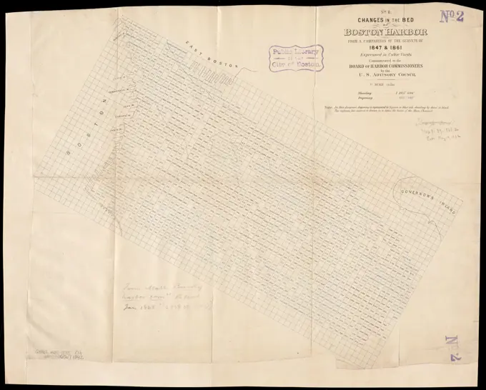
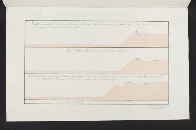
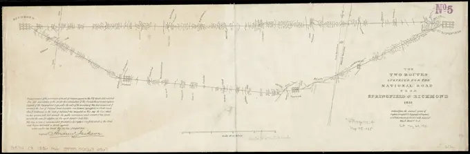
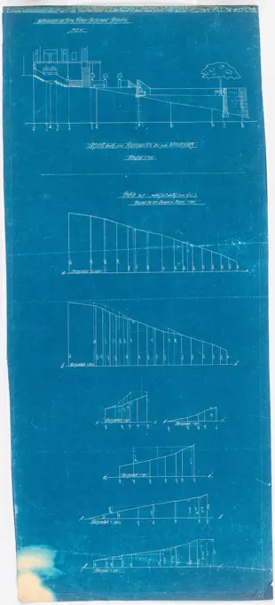
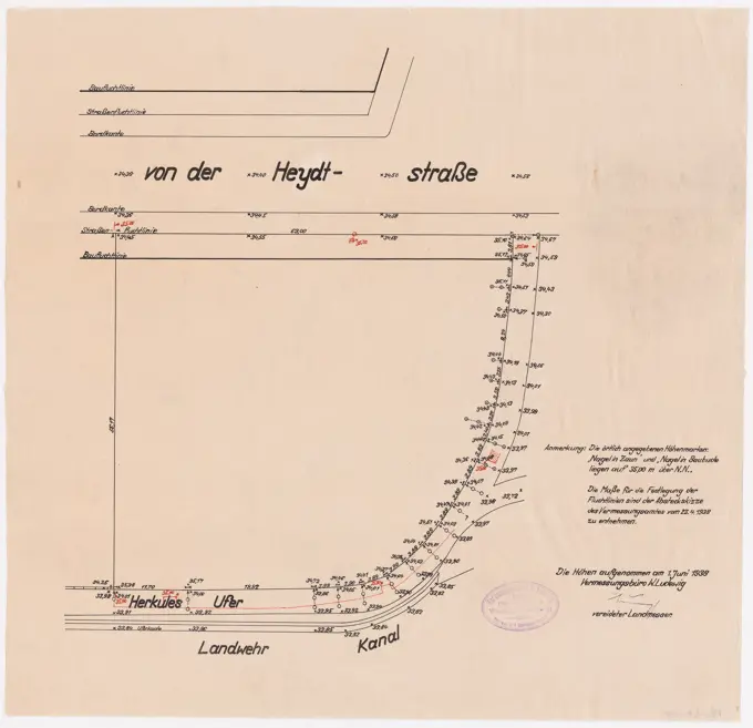
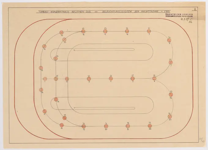
Blueprints and plans related to city expansions and construction projects, illustrating urban development themes from the early 20th century.

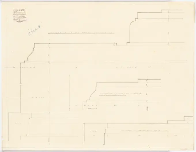
Blueprints and plans related to city expansions and construction projects, illustrating urban development themes from the early 20th century.