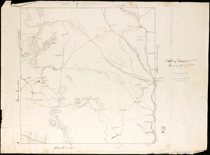
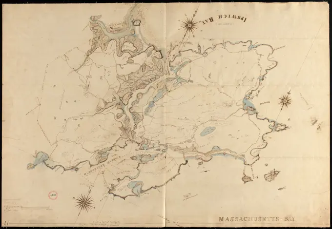
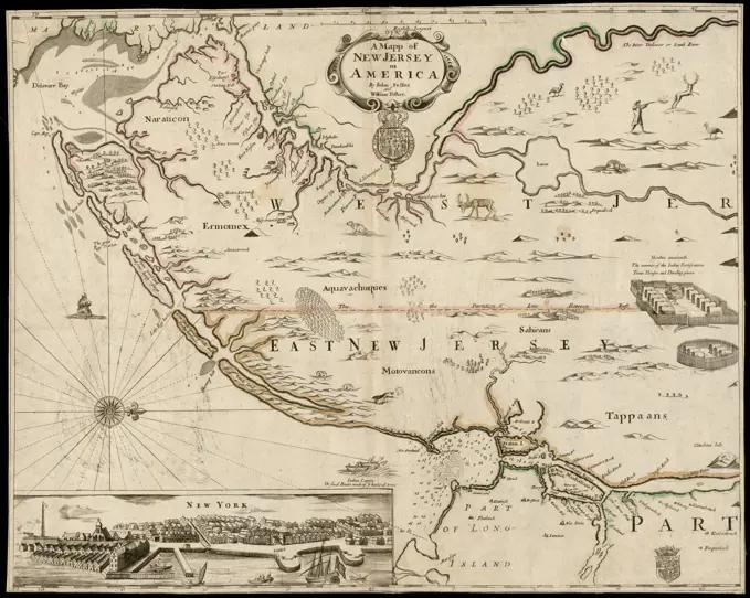
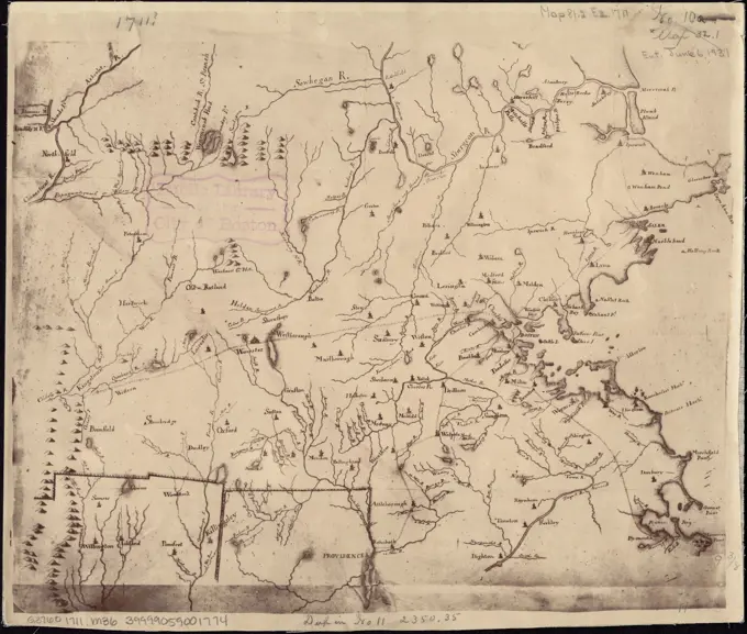
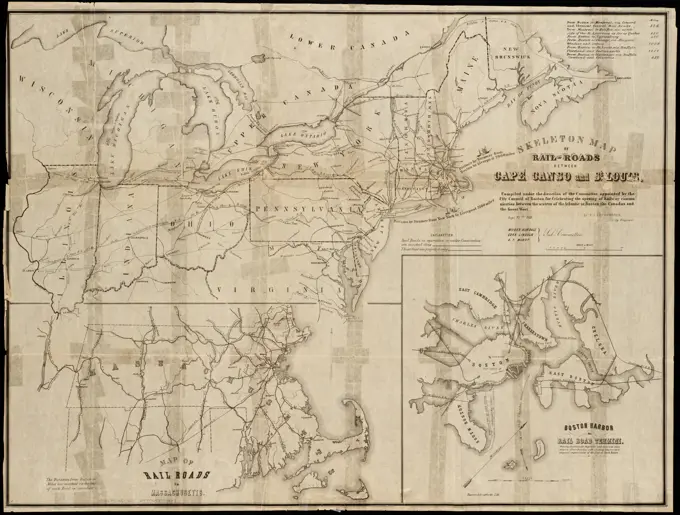
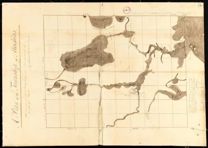
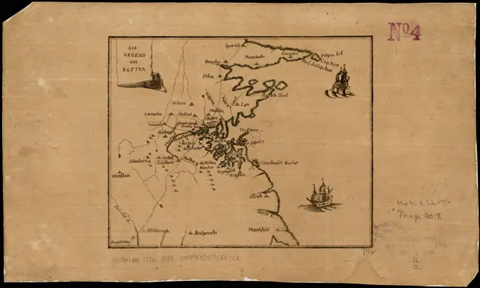
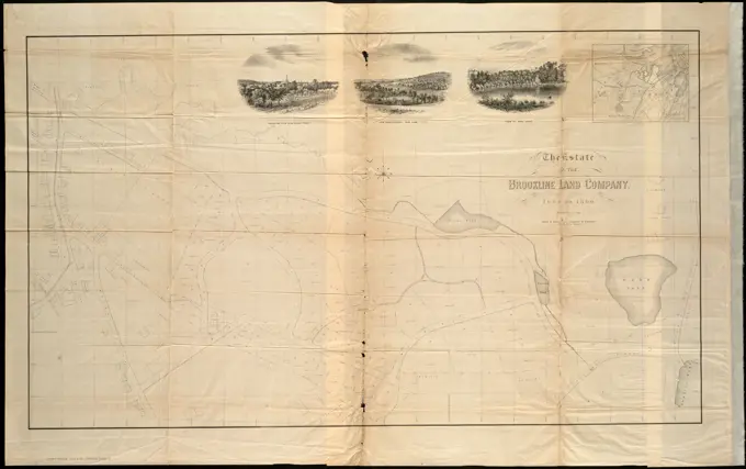
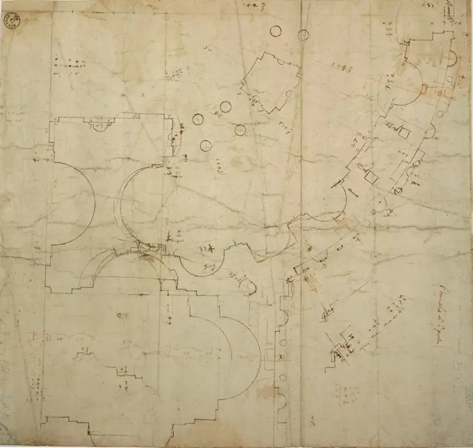
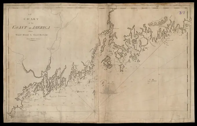
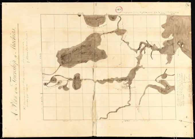
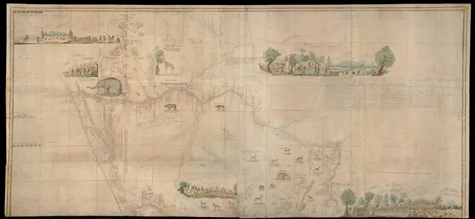
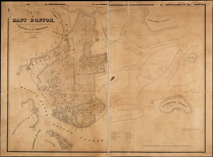
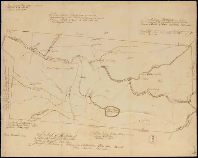
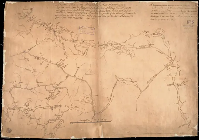
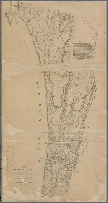
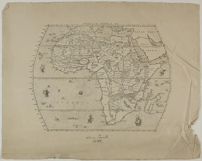
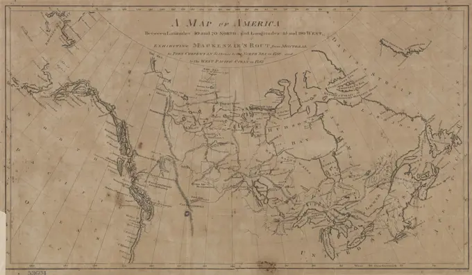
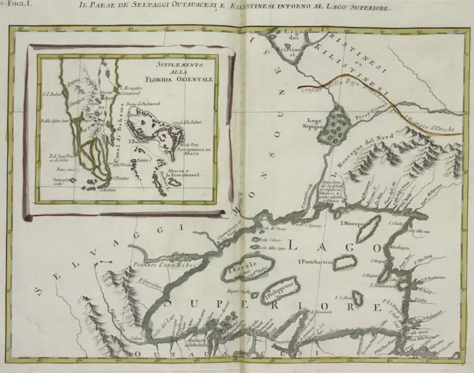
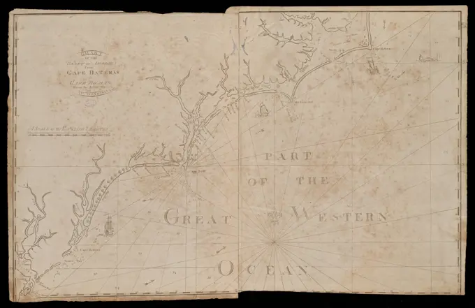
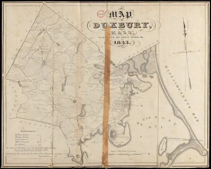
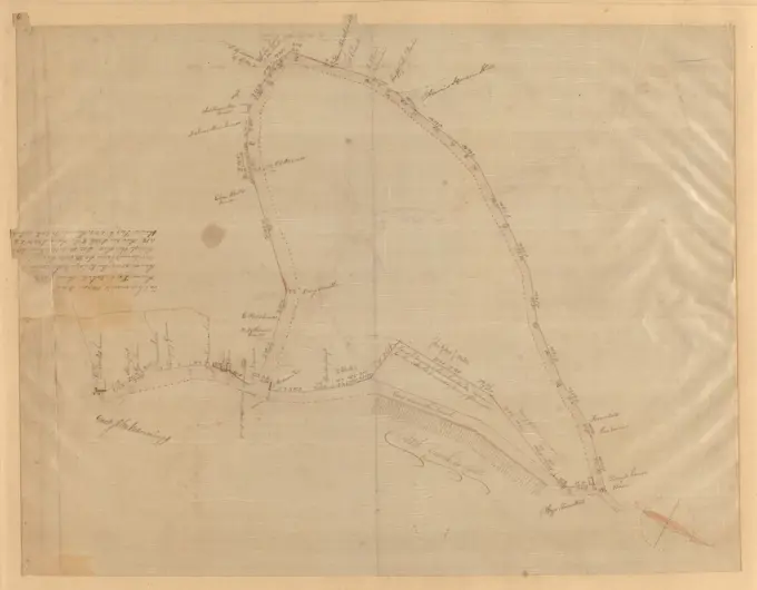
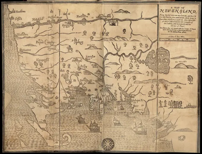
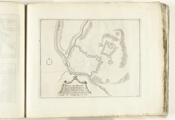
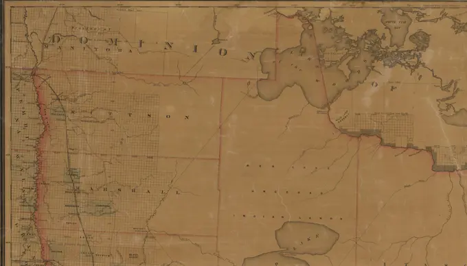
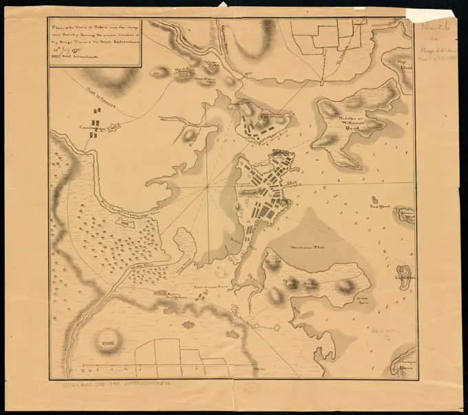
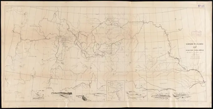
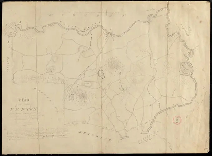
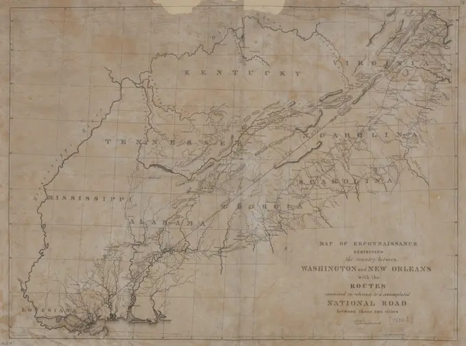
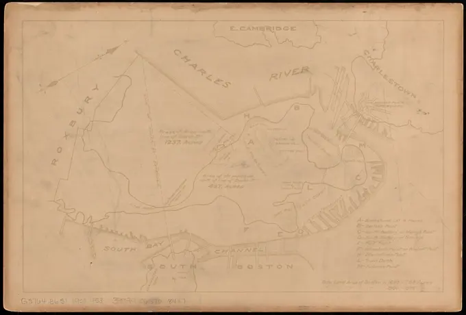
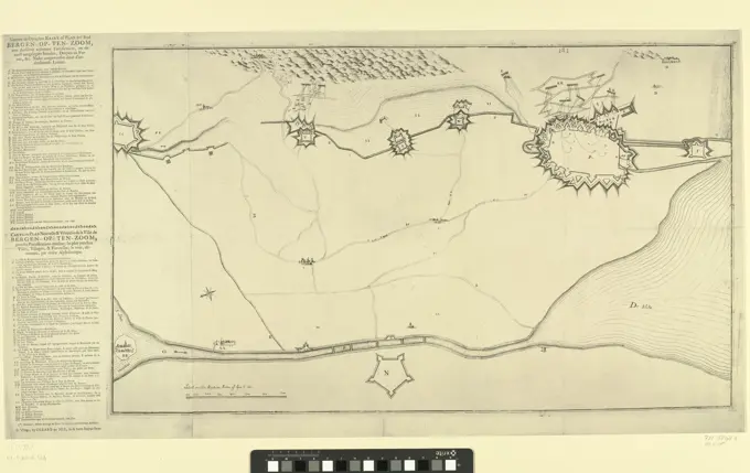
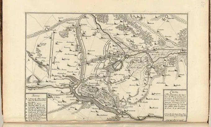
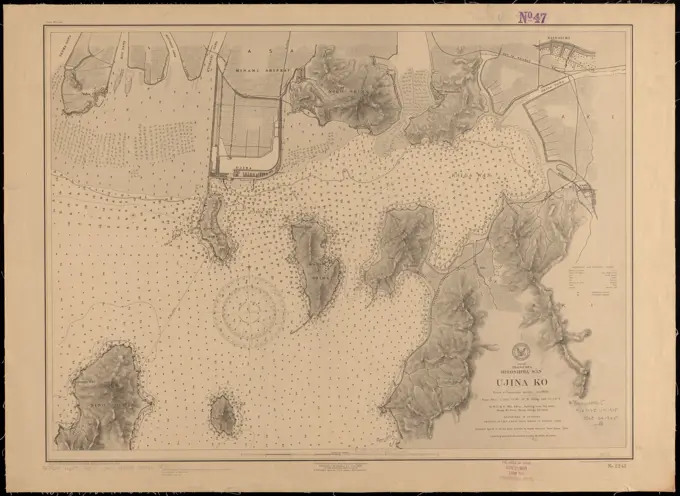
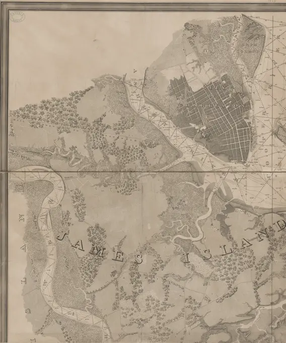
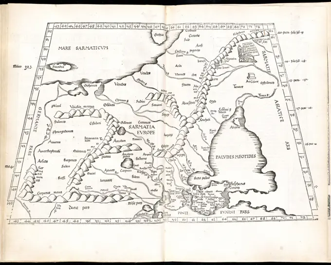
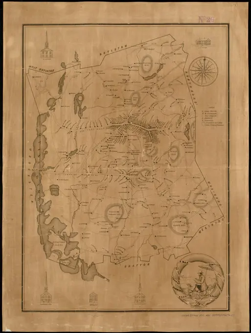
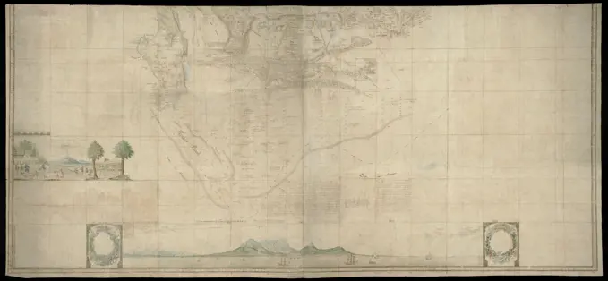
Historic Nautical Maps

Detailed early maps depicting coastal regions, including navigation routes and geographical features from the Atlantic coast and beyond.

Card in two halves. This part covers the area, bounded to the north by line 32º SB, further by a line running from the northeast from 32º SB to the west coast via Saldanha Bay at 32º SB, the sea is described only south of the coast from Houtbaai to the mouth of the Sunday River. Contains also various images of inhabitants and animals, text accessible by means of a guide map with degree indications, Lower (southern) half or Gordon's great map of Southern Africa., draughtsman: Robert Jacob Gordon, (attributed to), draughtsman: Johannes Schumacher, (possibly), Kaapprovincie, Jan-1786 - Mar-1786, paper, pen, brush, h 925 mm × w 2030 mm, h 900 mm × w 1965 mm