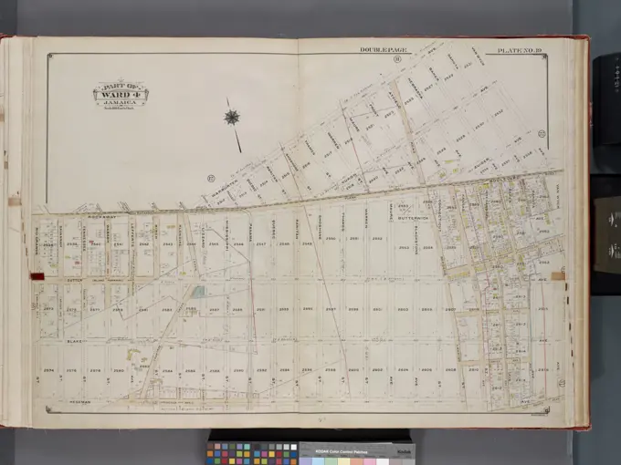
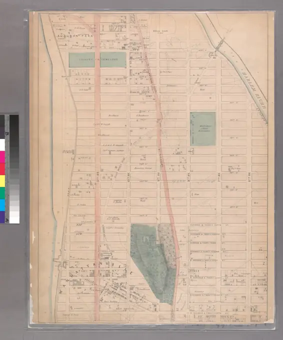
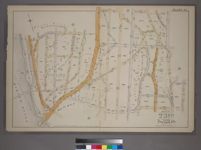
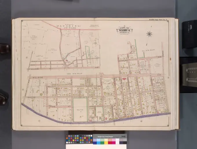
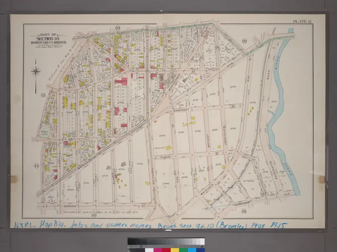
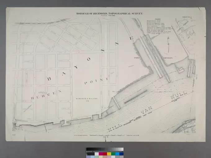
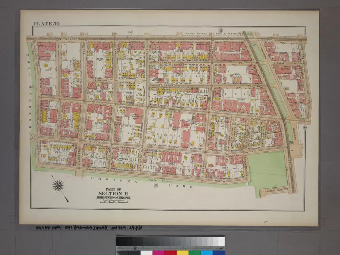
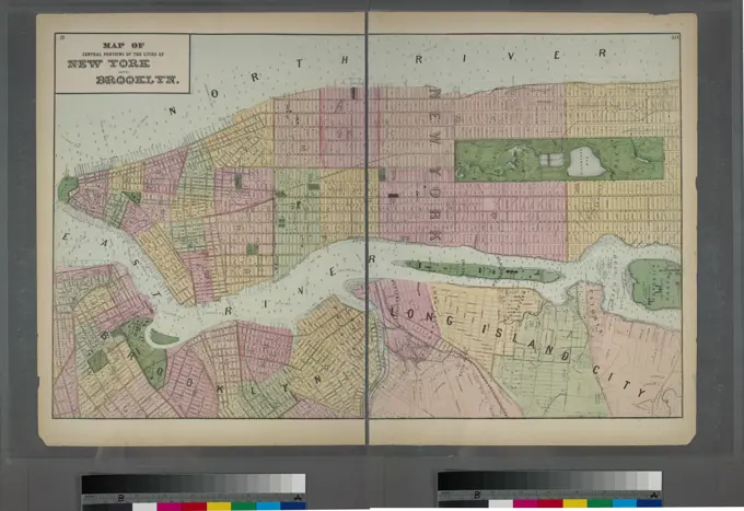
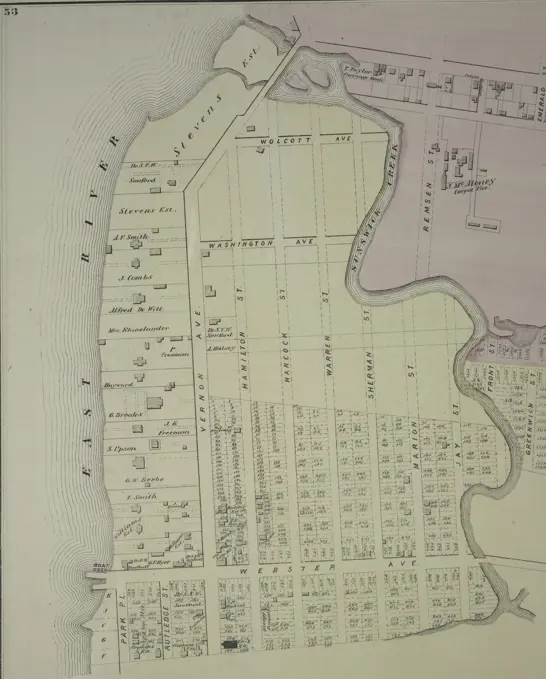
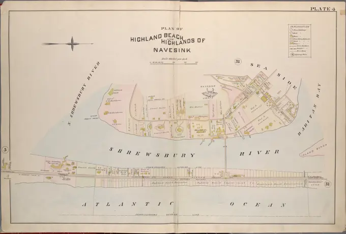
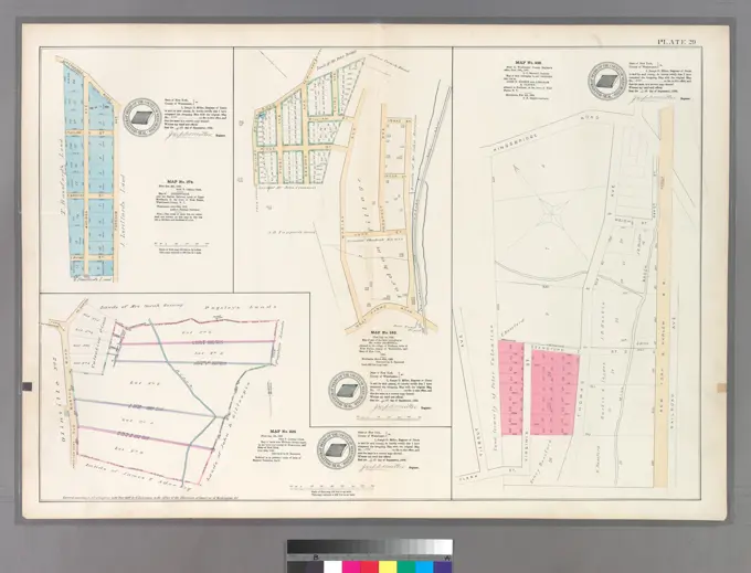
Historic New York Maps

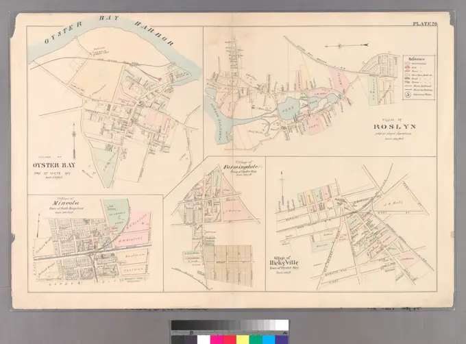
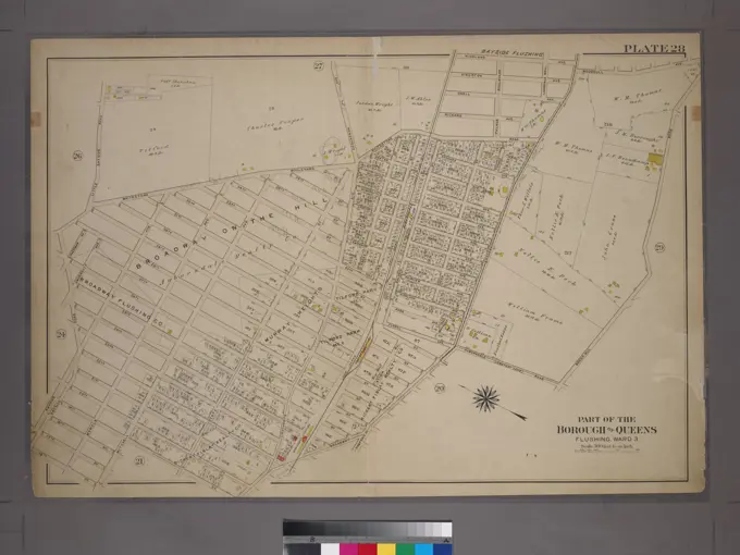
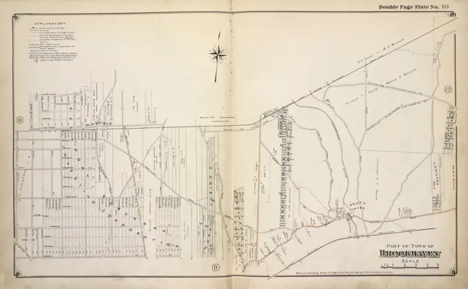
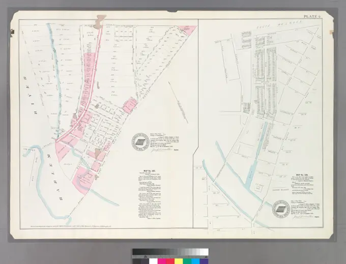
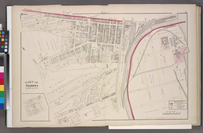
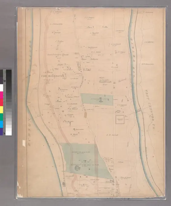
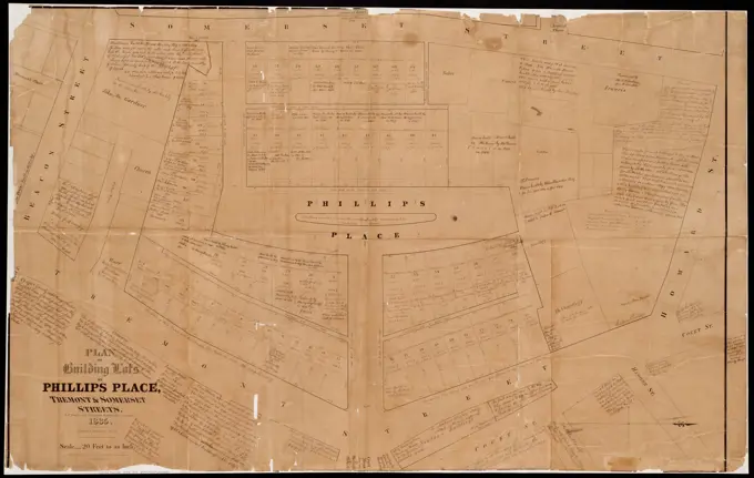
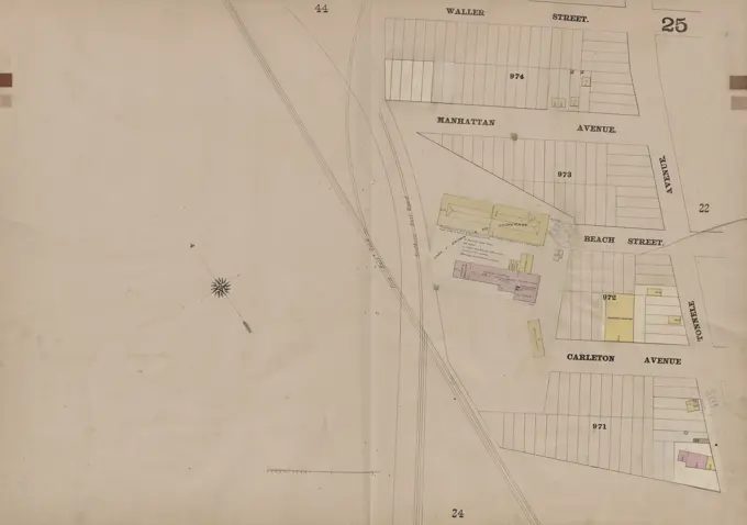
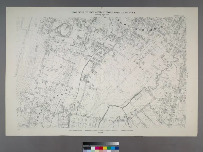
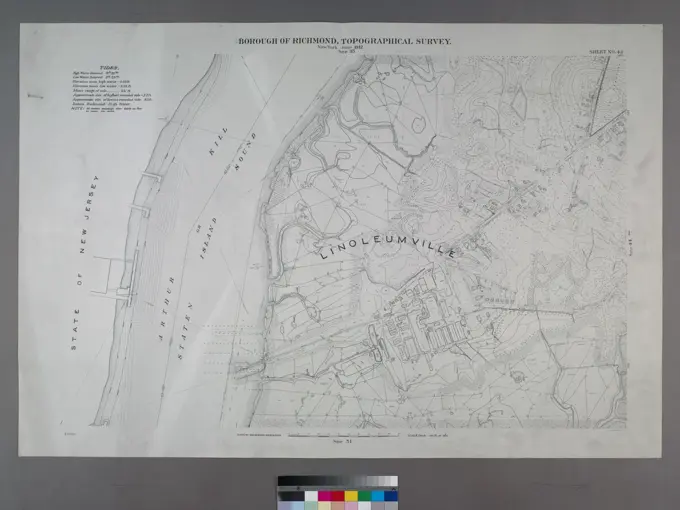
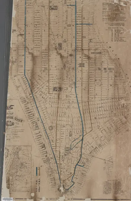
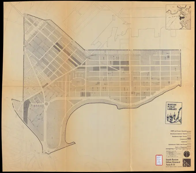
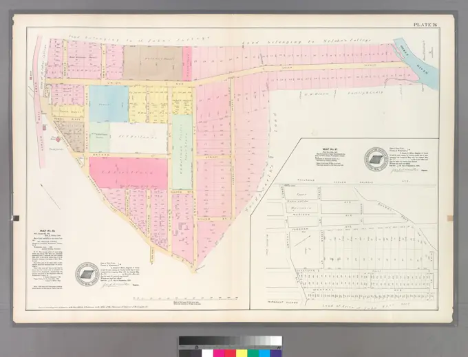
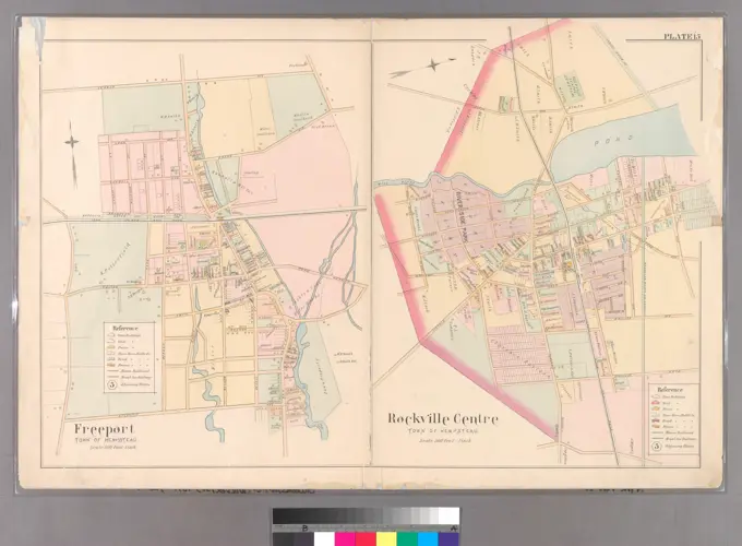
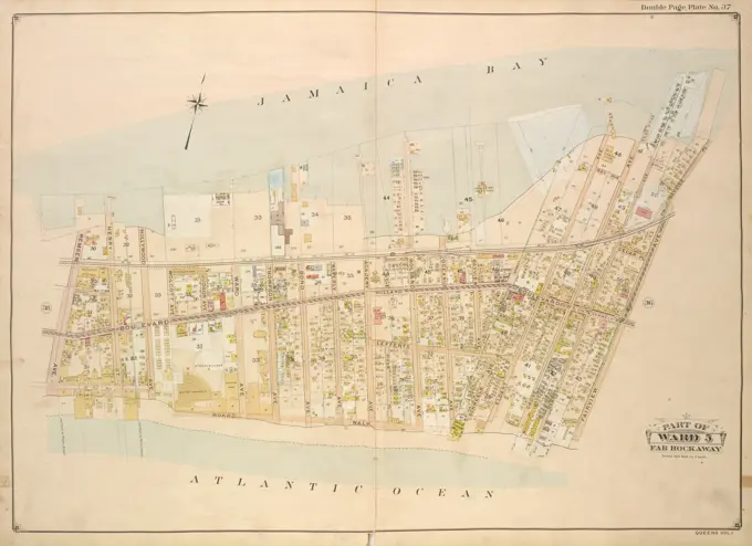
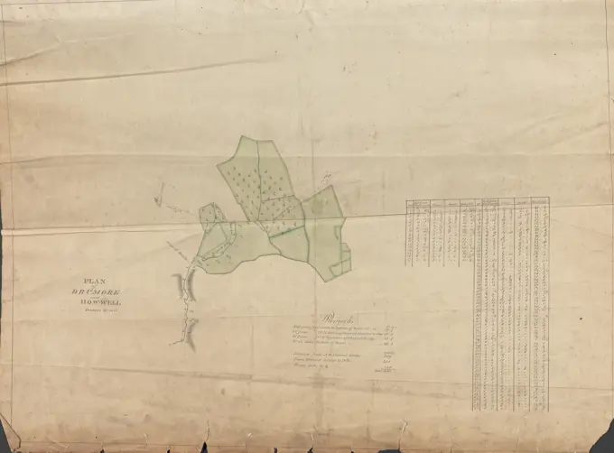
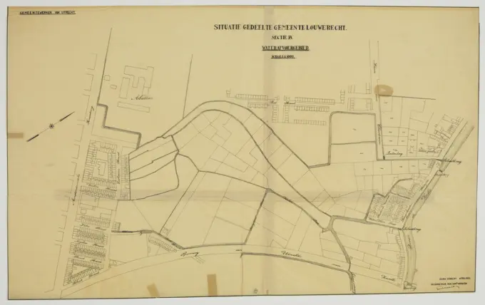
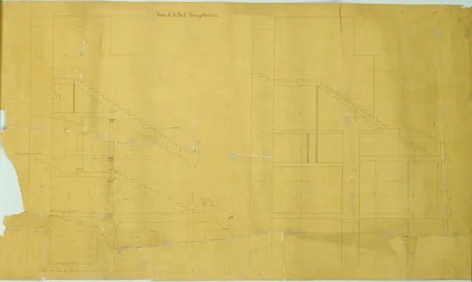
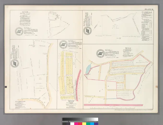
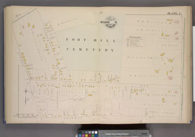
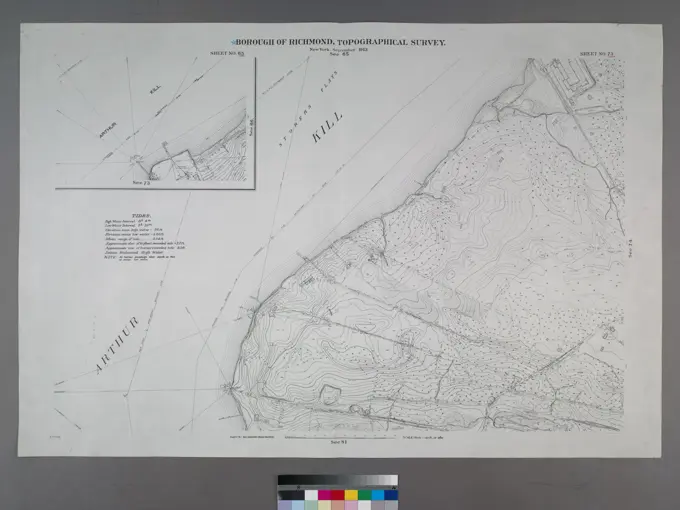
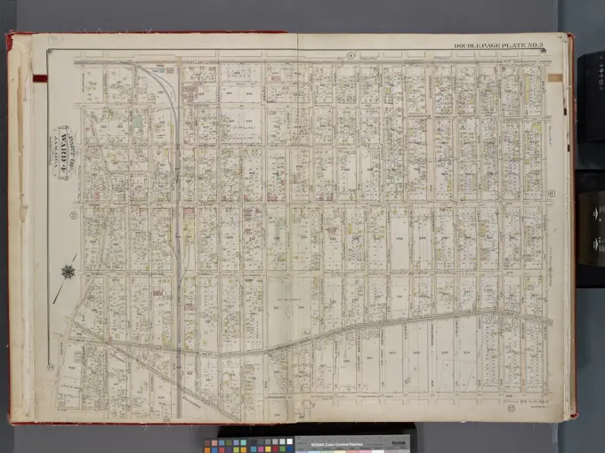
Detailed historical maps of New York, depicting various towns and neighborhoods, featuring intricate line work and classic cartographic styles from the late 19th and early 20th centuries.

Cartographic, Maps. 1898. Lionel Pincus and Princess Firyal Map Division. Brooklyn (New York, N.Y.), Real property , New York (State) , New York Double Page Plate No. 12: Bounded by 37th Street, Fort Hamilton Avenue (Franklin Boulevard), Gravesend Avenue, Avenue A, West Street, Fifteenth Avenue, 45th Street and Ninth Avenue. Part of Wards 29 & 30, Land Map Sections, Nos. 3, 16 & 17, Volume 2, Brooklyn Borough, New York City.