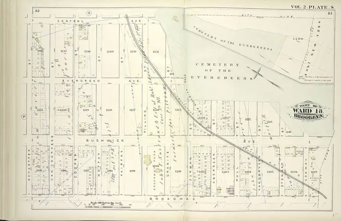
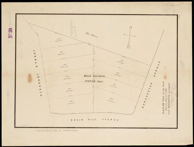
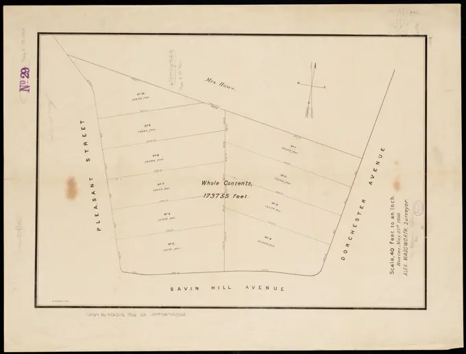
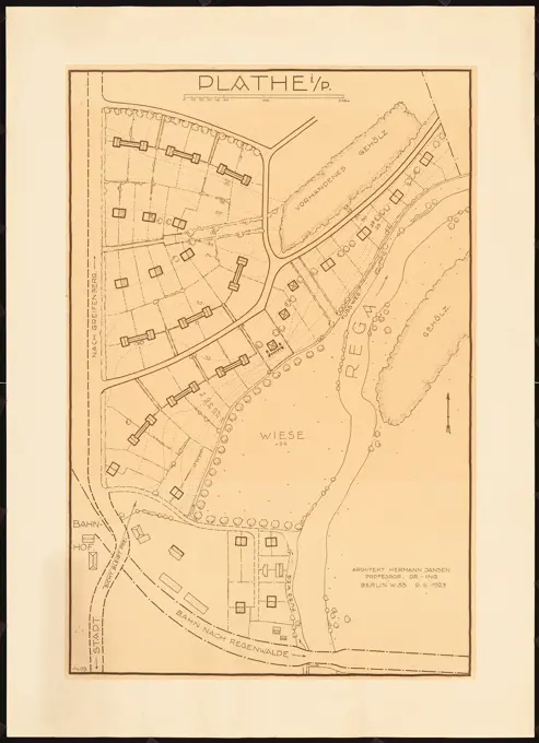
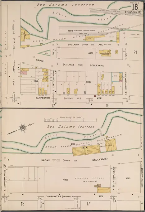
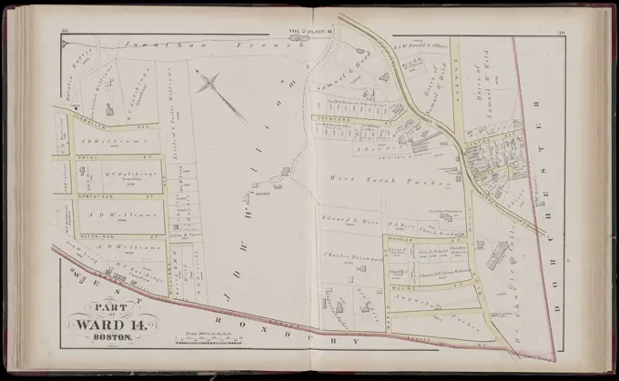
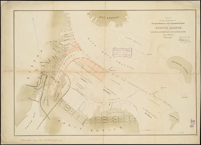
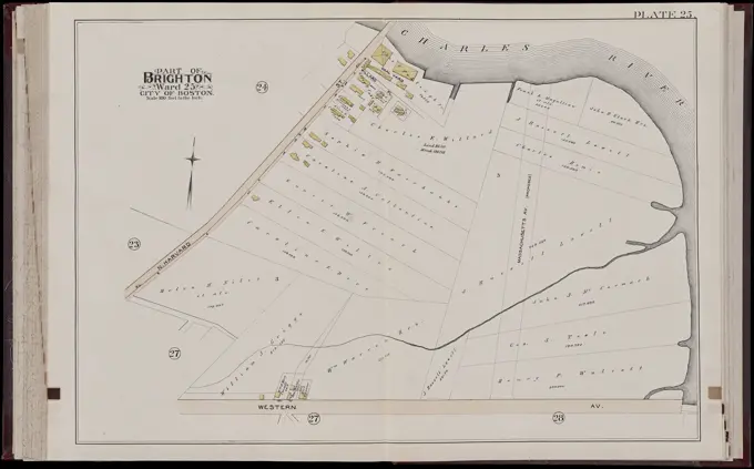
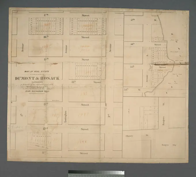
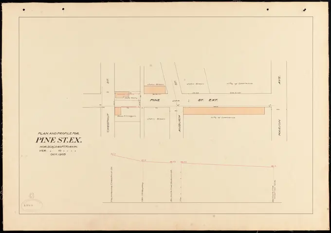
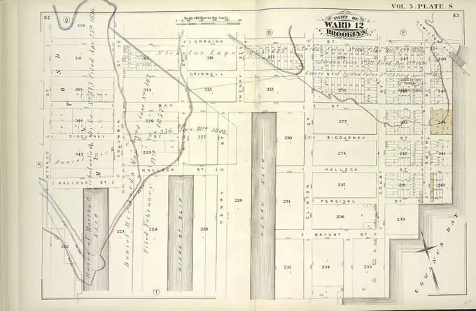
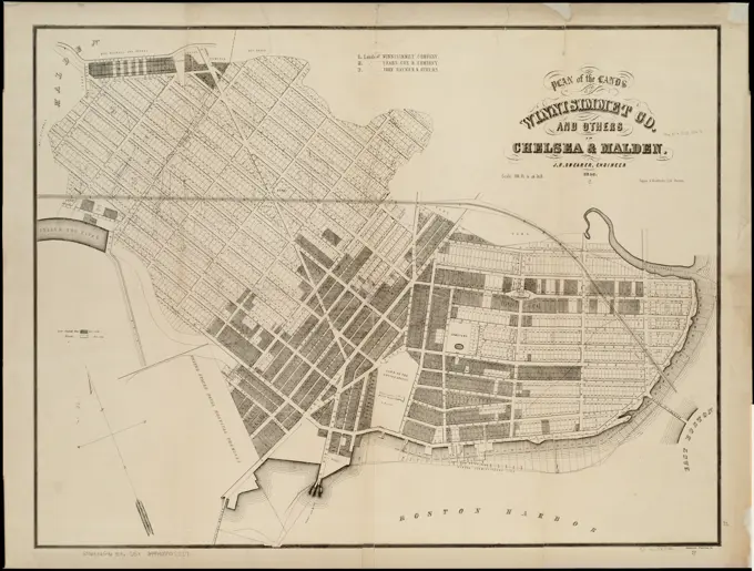
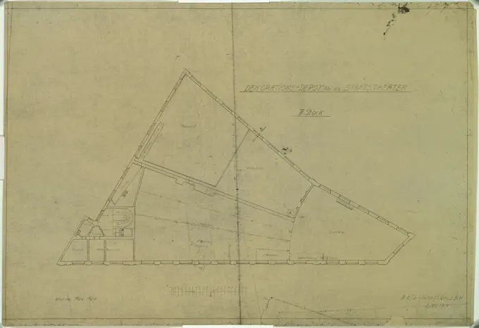
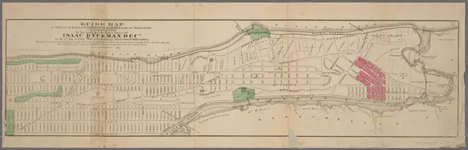
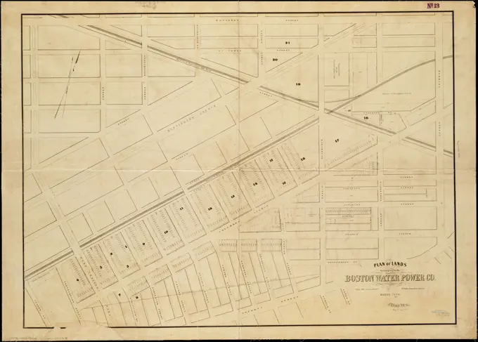
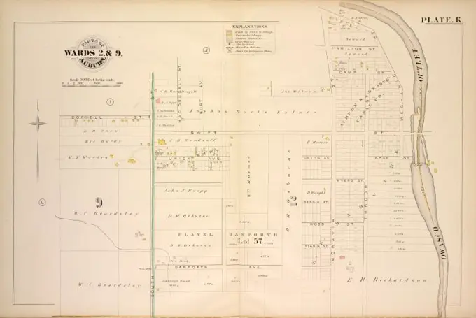
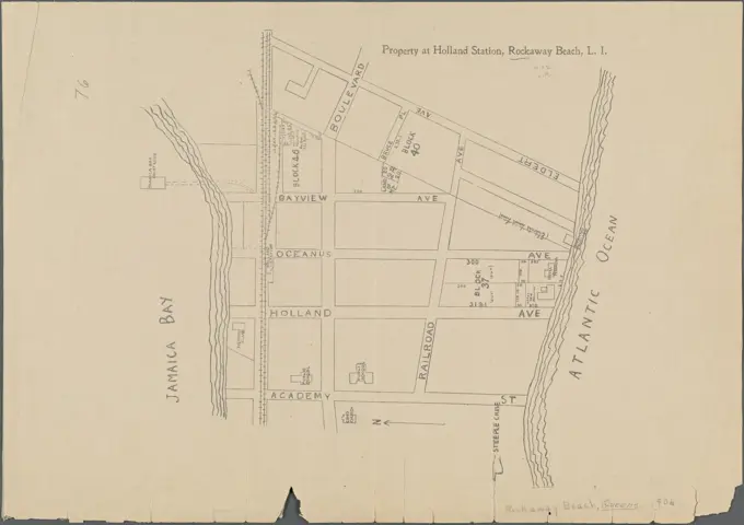
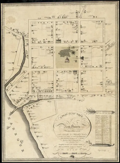
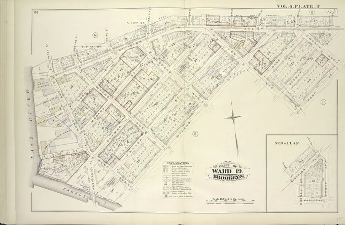
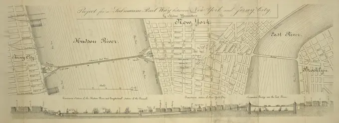
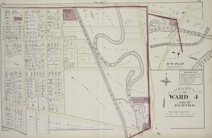
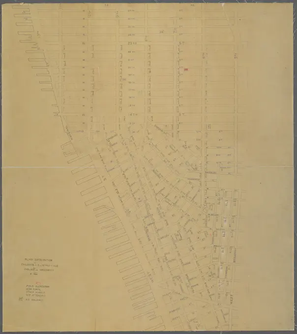
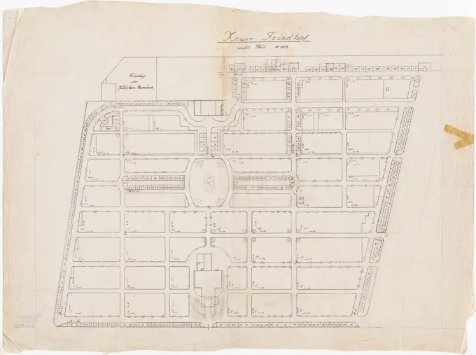
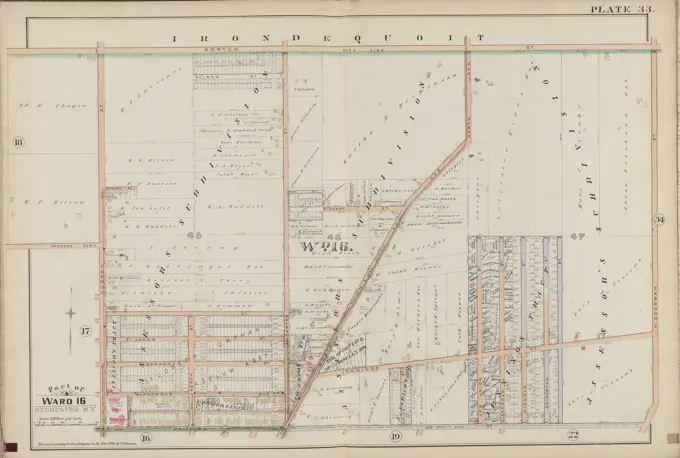
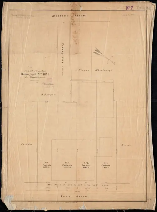
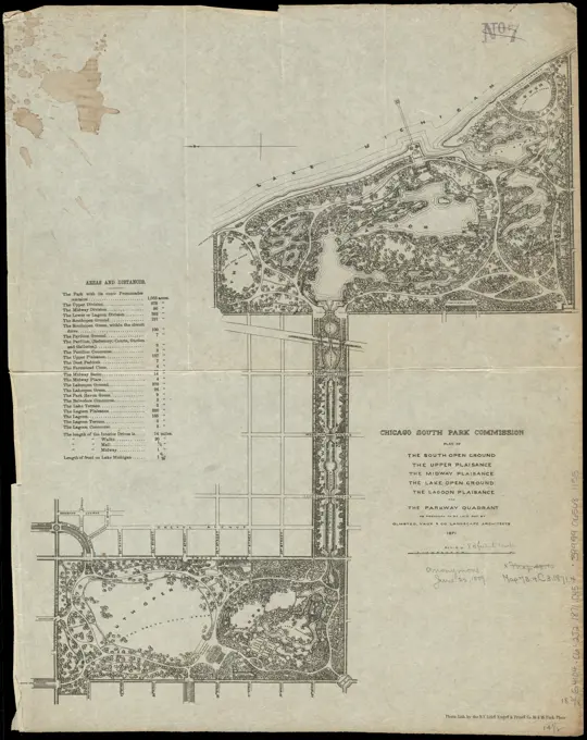
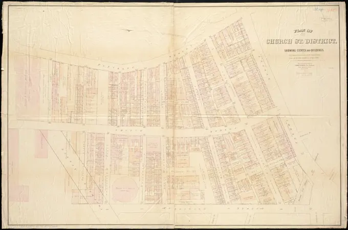
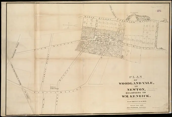
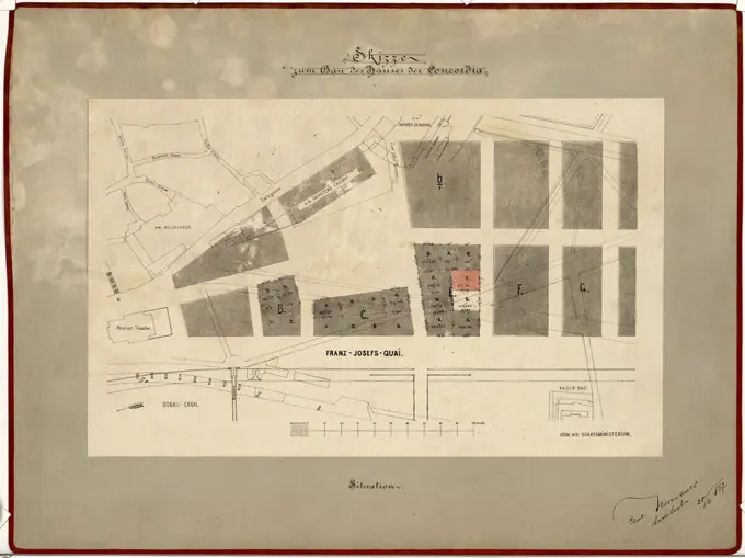
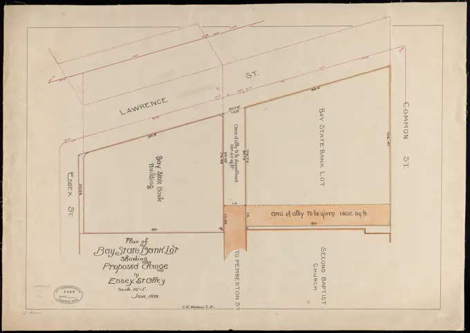
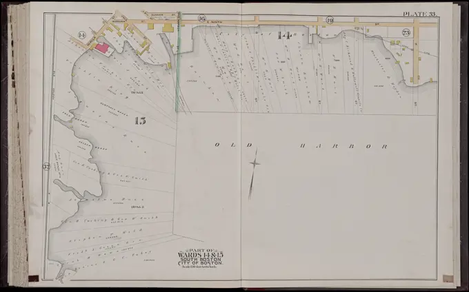
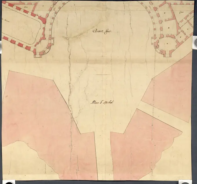
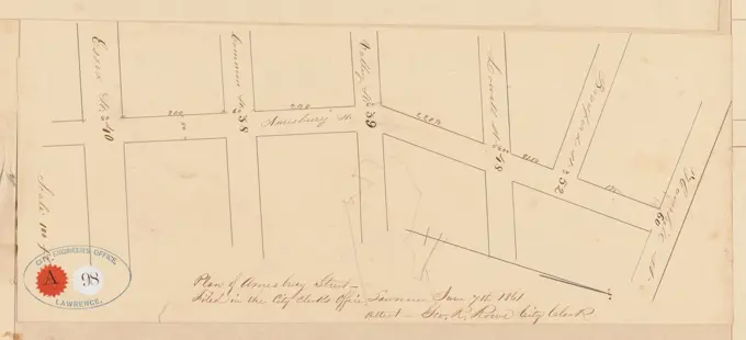
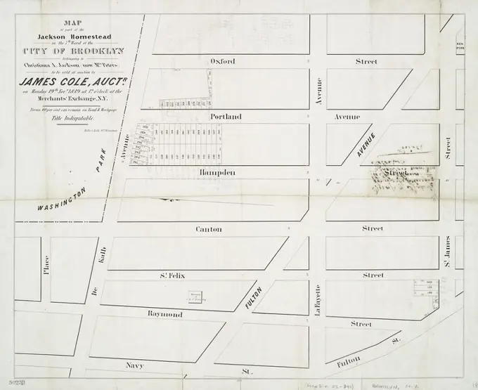
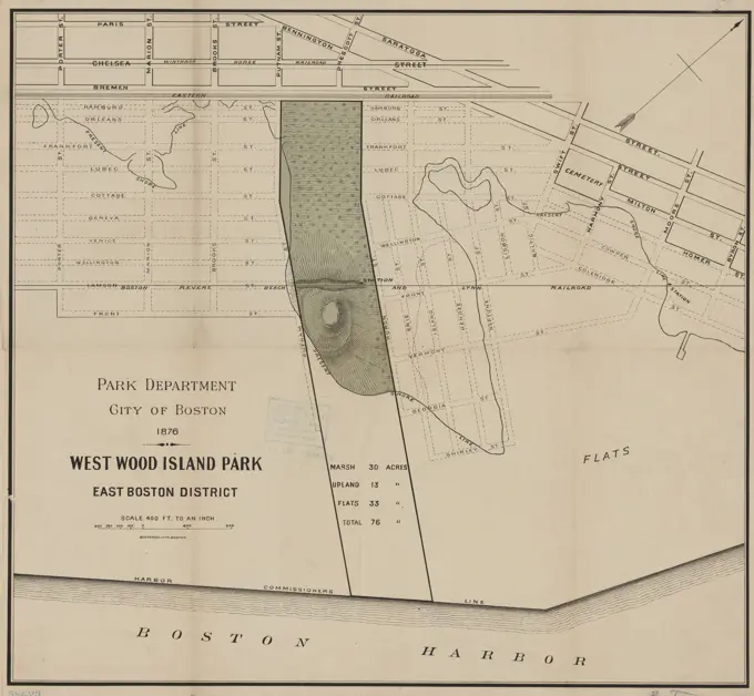
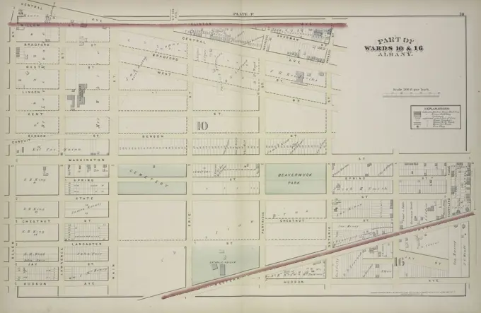
Historic Property Maps

Detailed, historic maps showing street layouts and property plans in various locations, with annotations indicating surveys and land ownership around the 19th century.

Plan of lands belonging to the Boston Water Power Company and the Commonwealth, on the Back Bay, showing part of the city streets, and the streets, on the land of the Commonwealth as laid out to date : with the streets as proposed to be laid out on the land of the Boston Water Power Company , Landowners, Massachusetts, Boston, Maps, Real property, Massachusetts, Boston, Back Bay, Maps, Back Bay Boston, Mass., Maps, South End Boston, Mass., Maps, Back Bay Boston, Mass. Norman B. Leventhal Map Center Collection