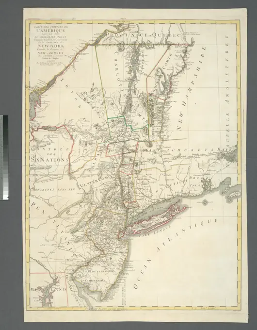
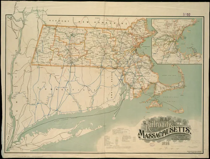
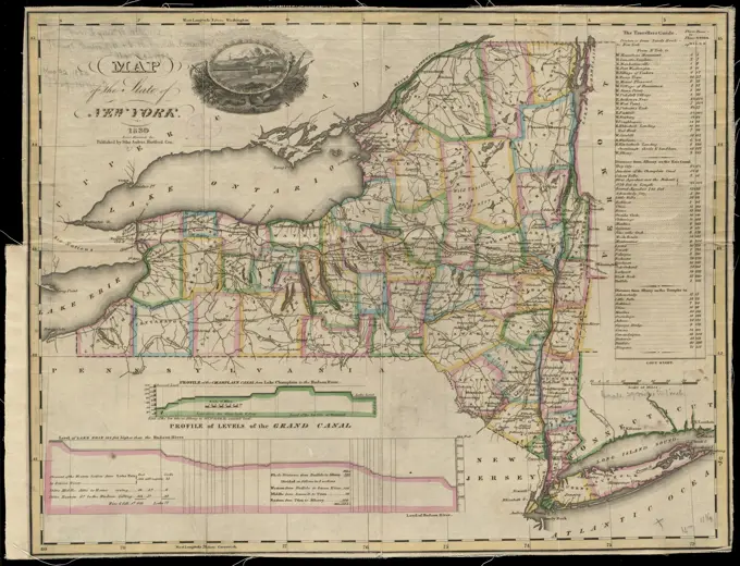
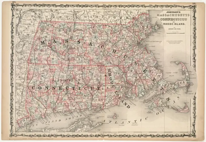
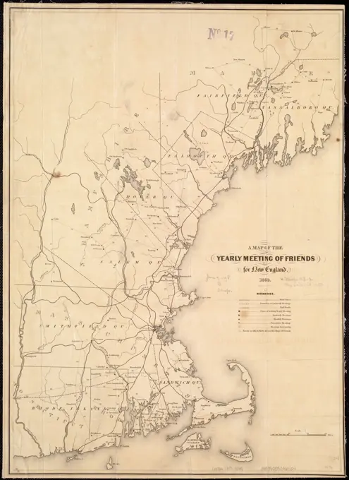
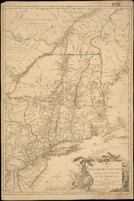
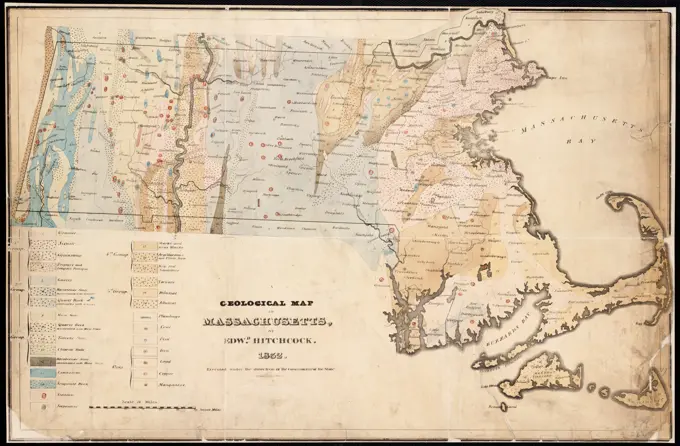
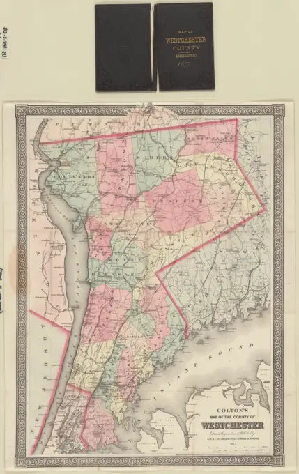
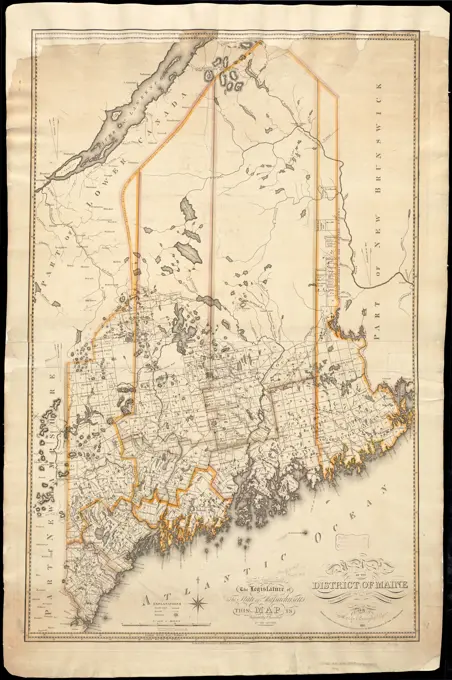
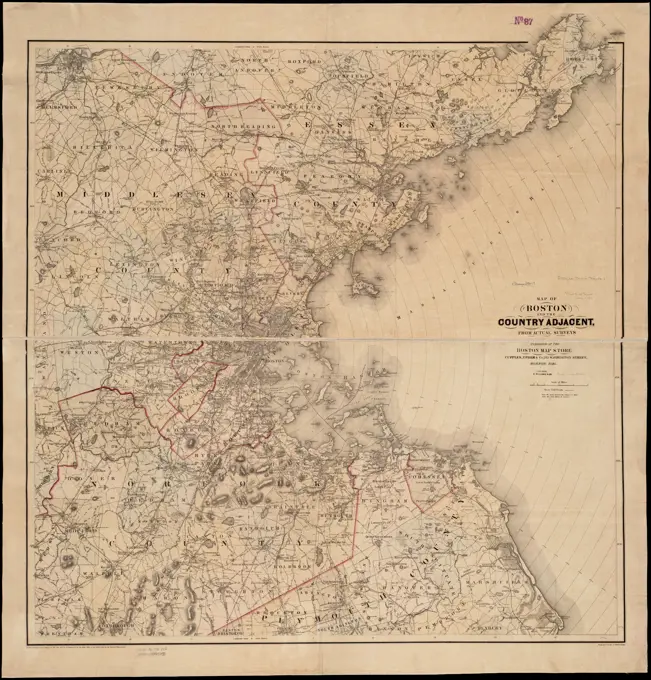
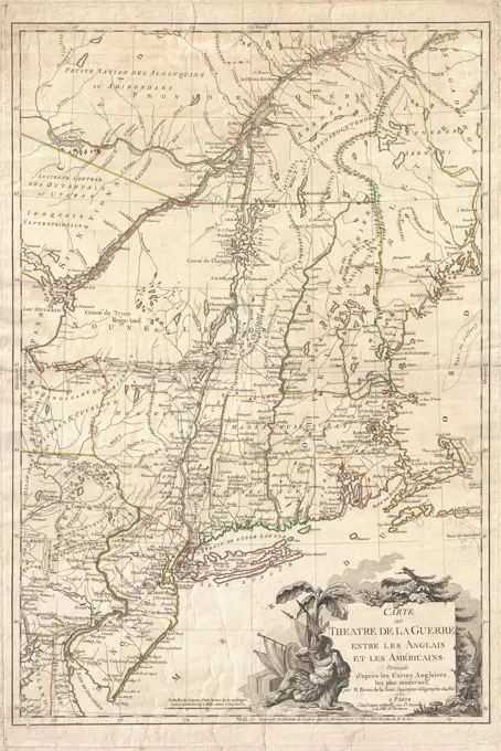
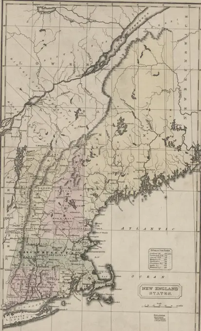
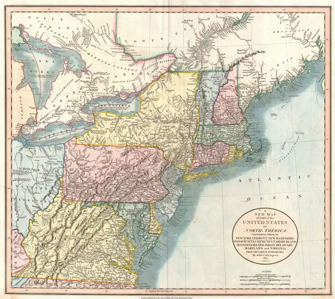
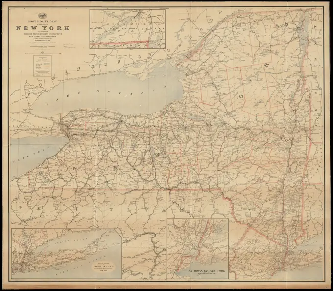
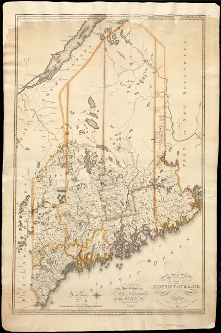
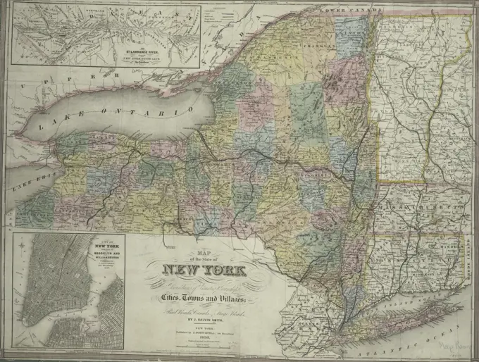
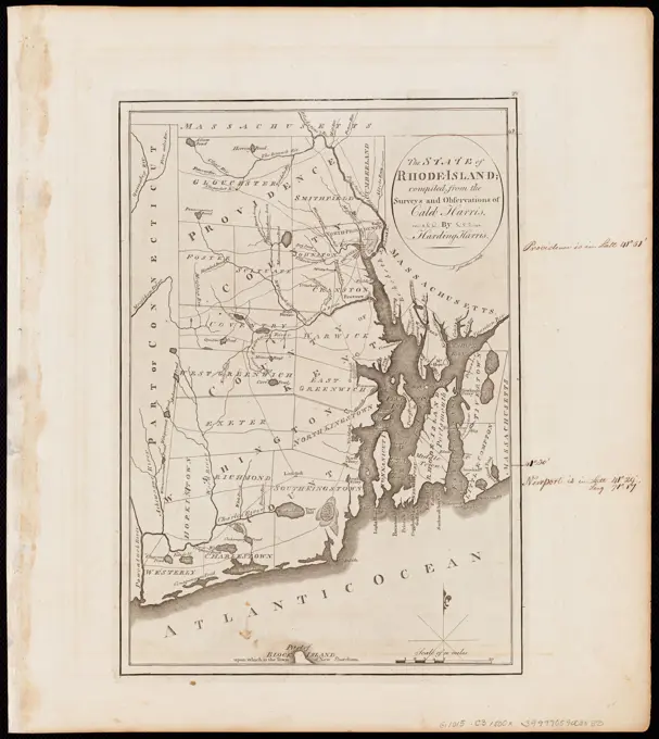
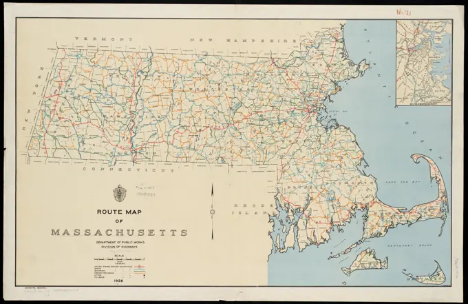
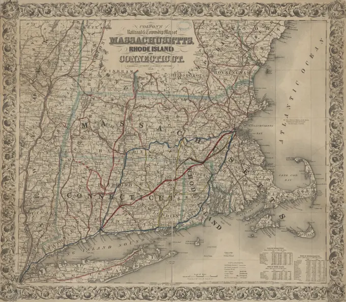
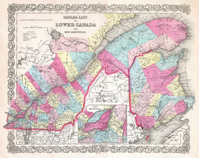
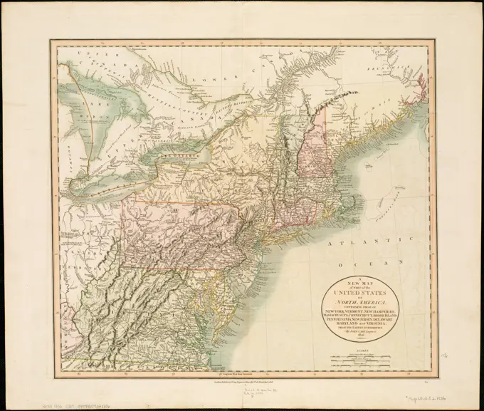
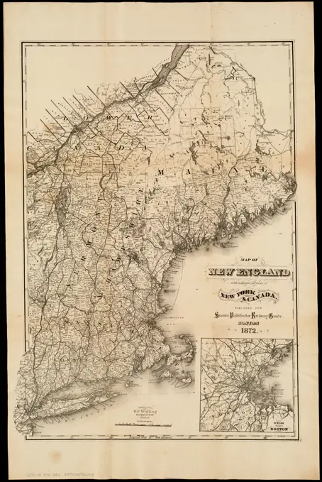
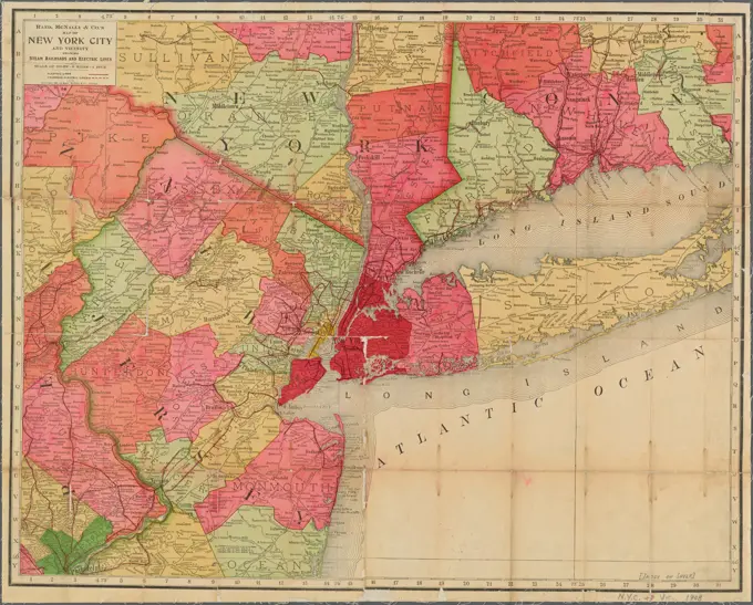
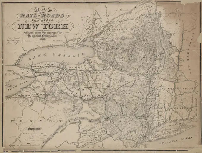
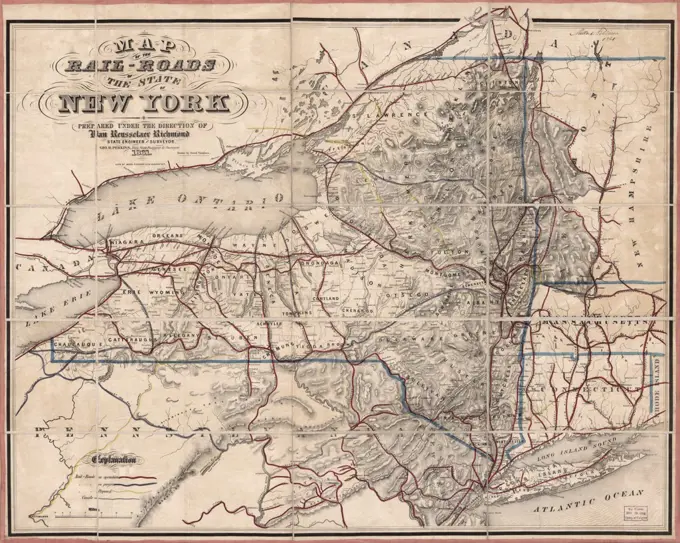
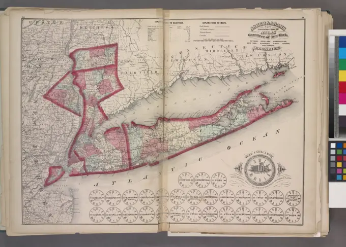
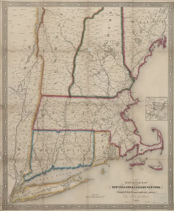
Historic Railroad Maps
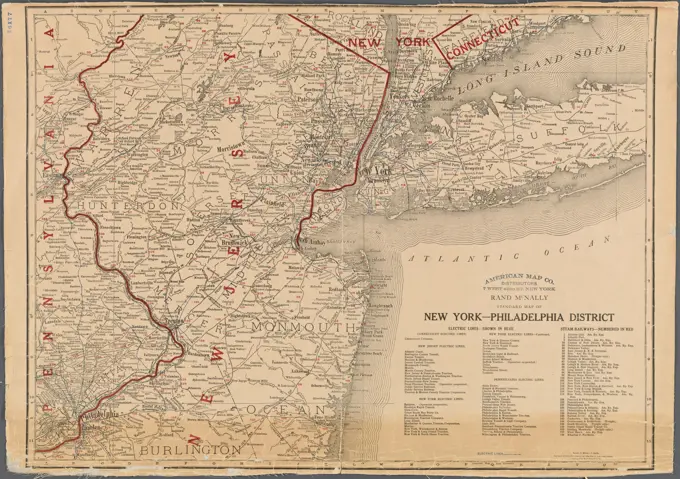
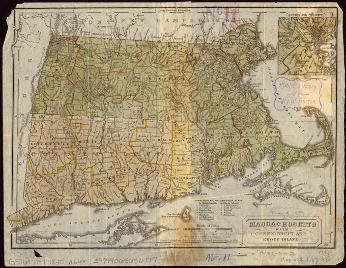
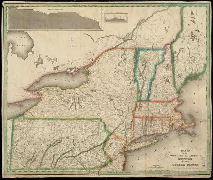
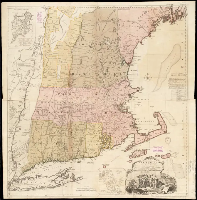
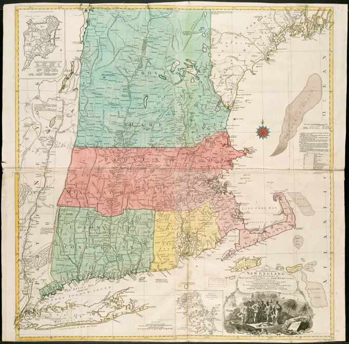
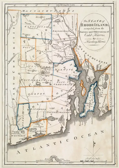
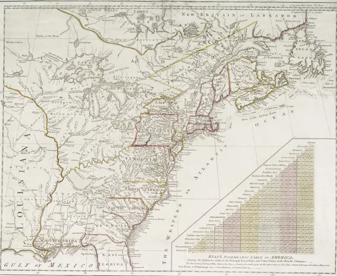
Detailed maps of New England and New York railroads from various eras, highlighting routes, towns, and geographic features.
Detailed maps of New England and New York railroads from various eras, highlighting routes, towns, and geographic features.