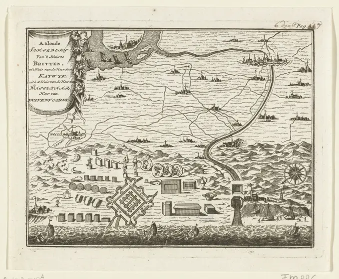
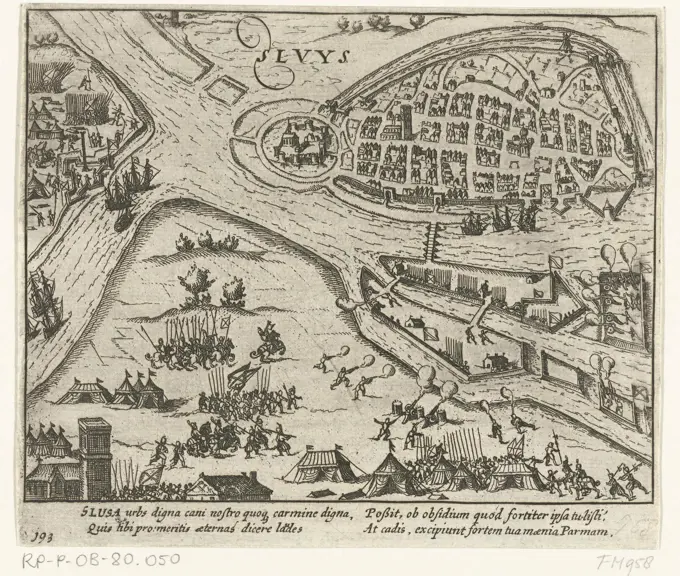
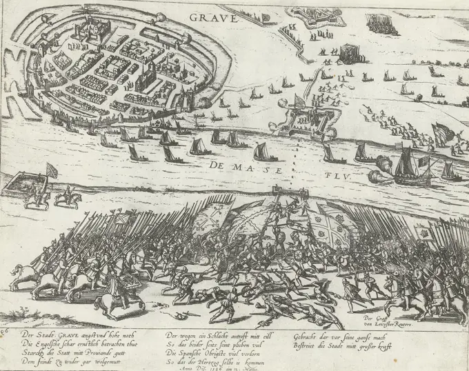
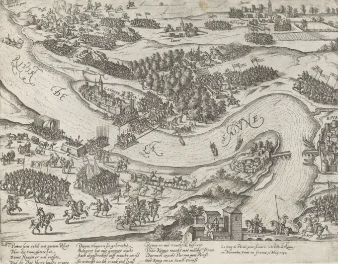
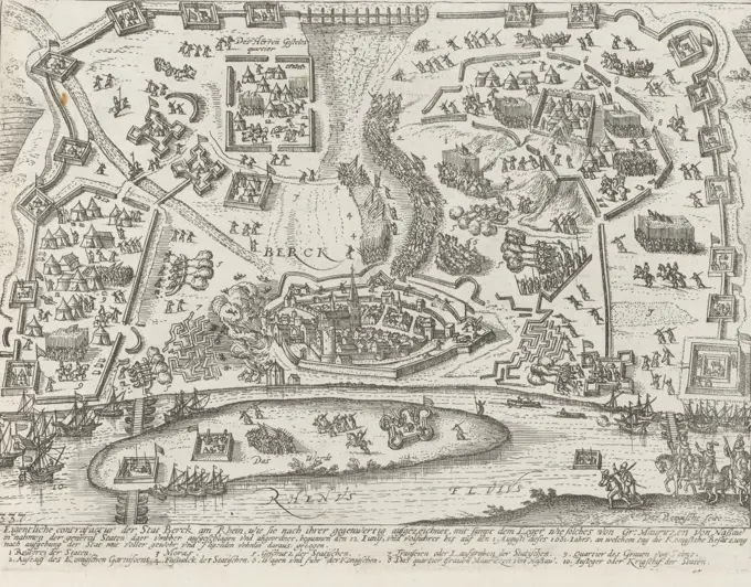
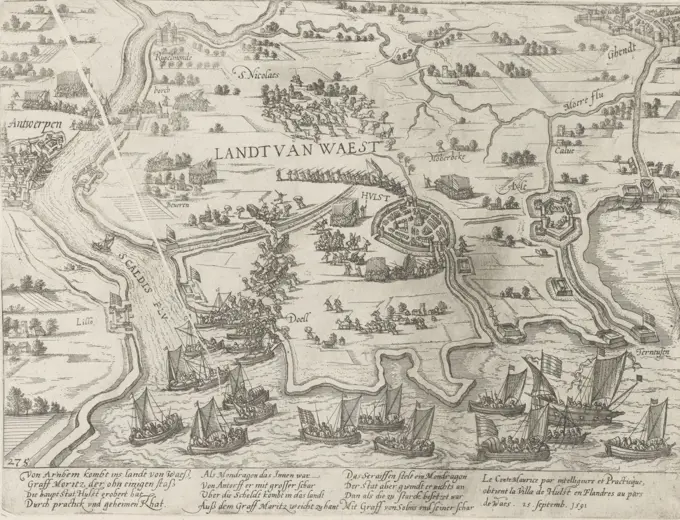
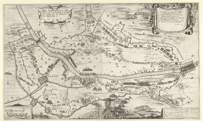
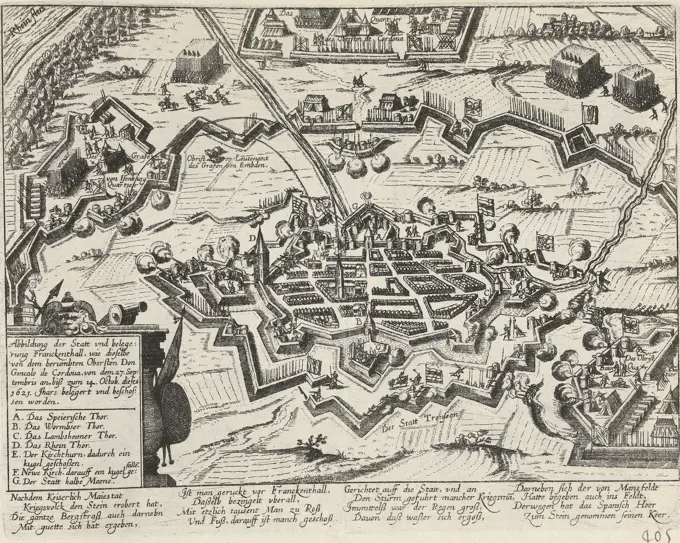
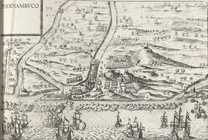
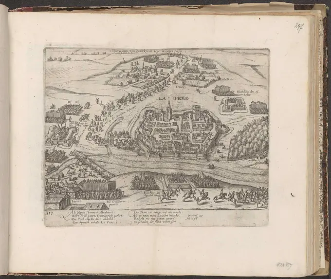
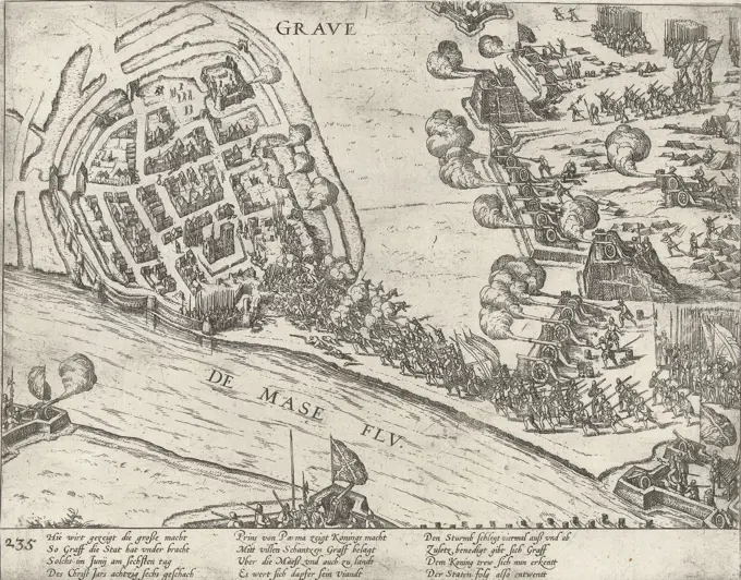
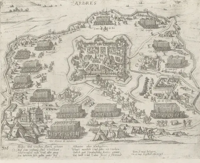
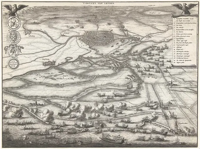
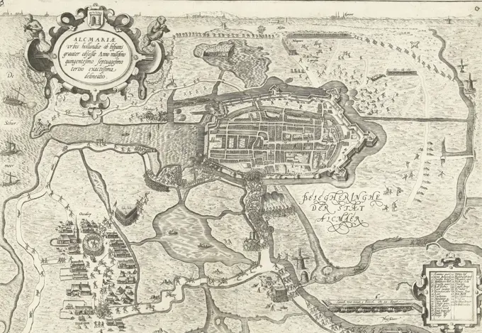
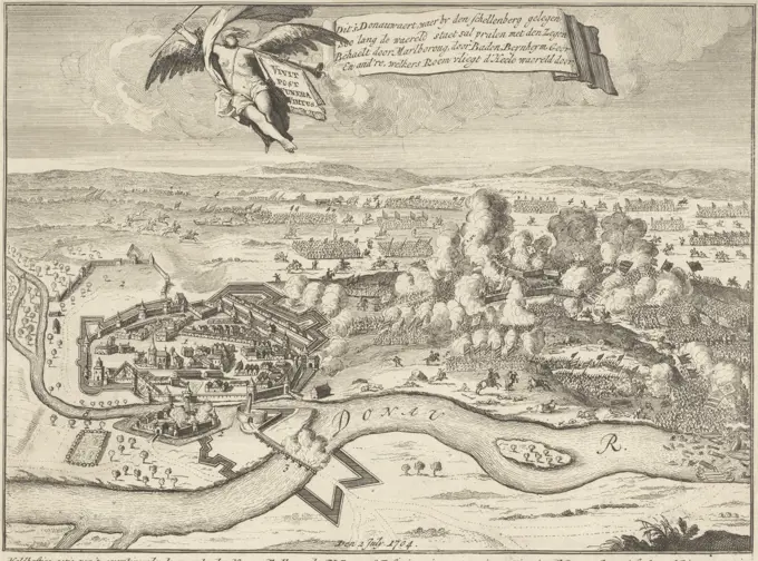
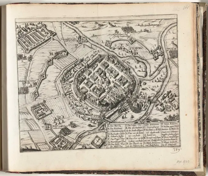
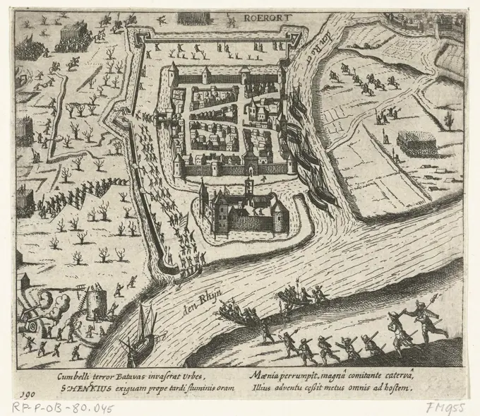
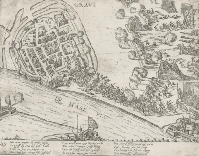
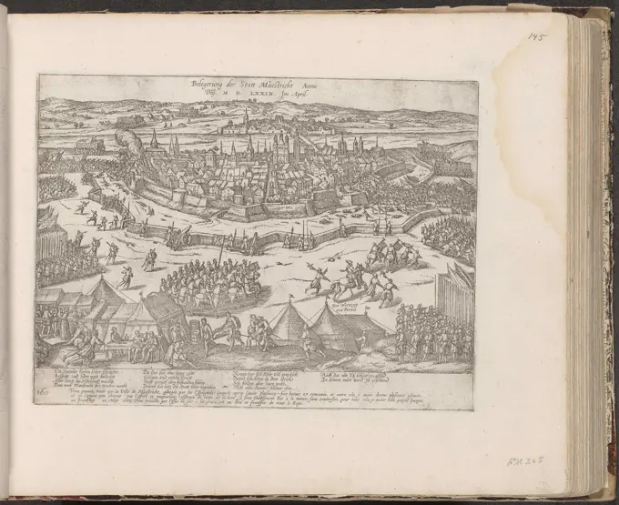
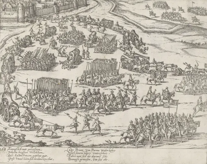
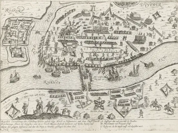
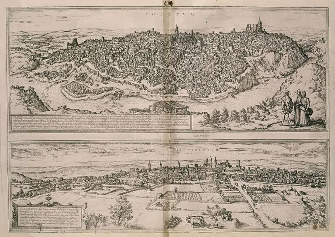
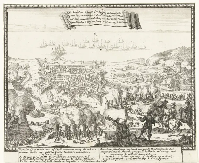
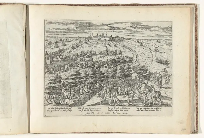
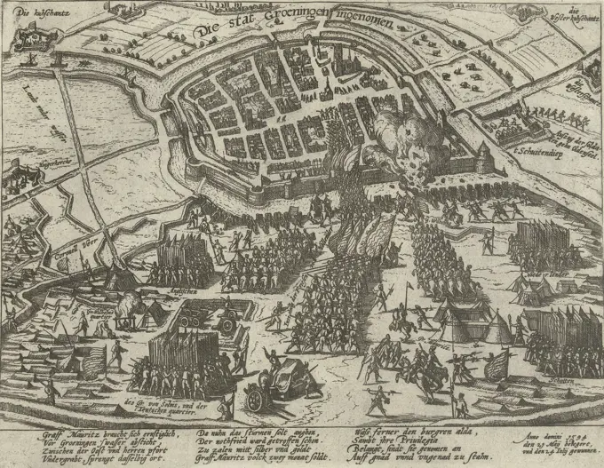
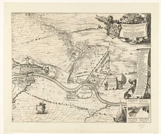
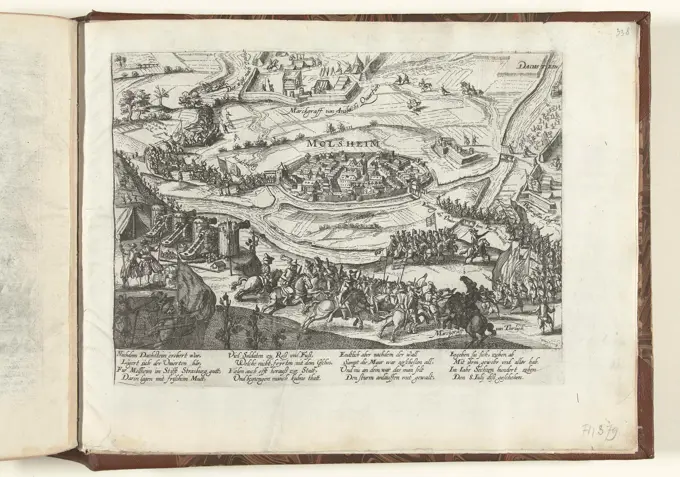
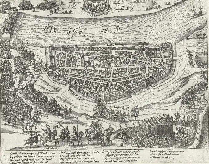
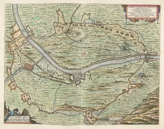
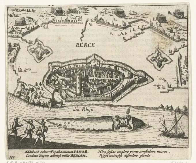
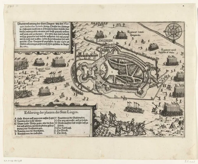
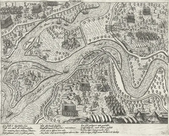
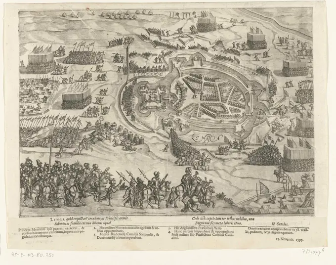
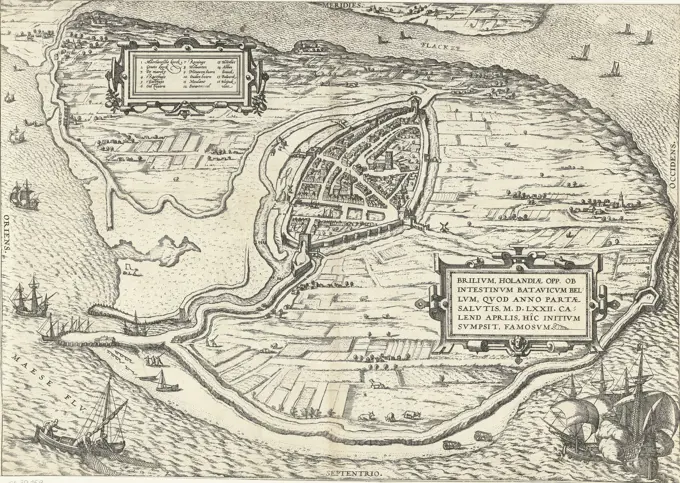
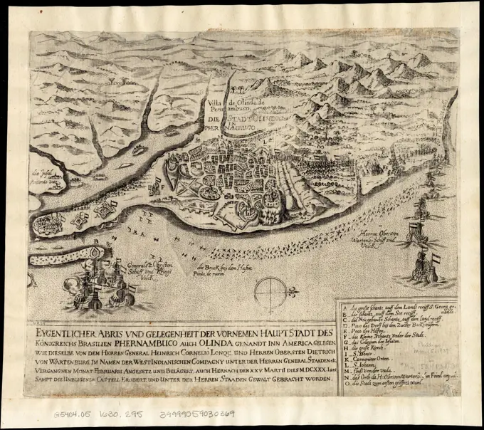
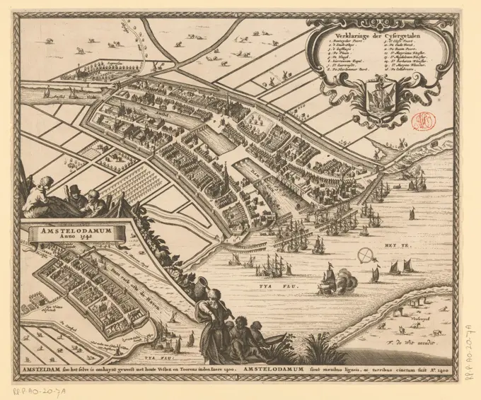
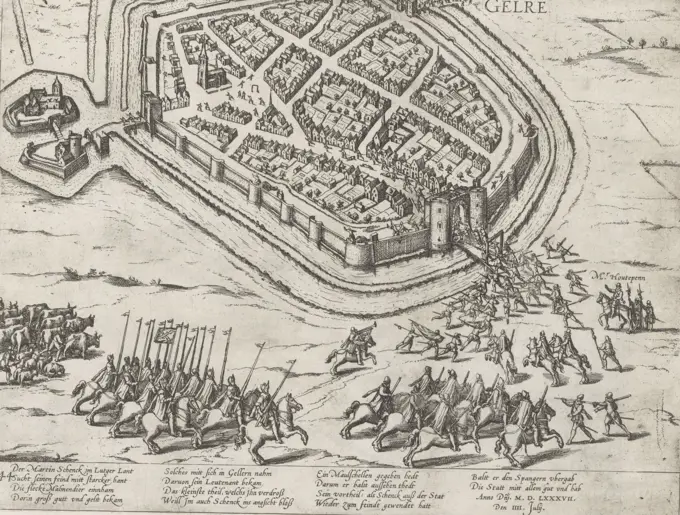
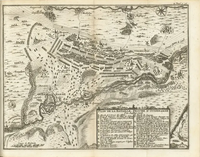
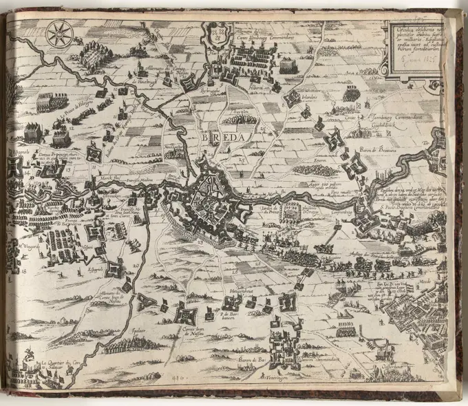
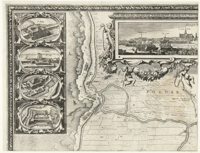
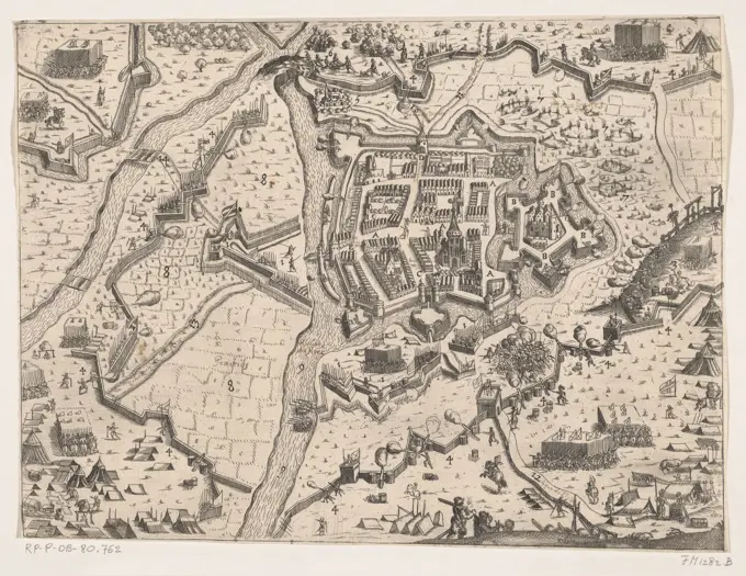
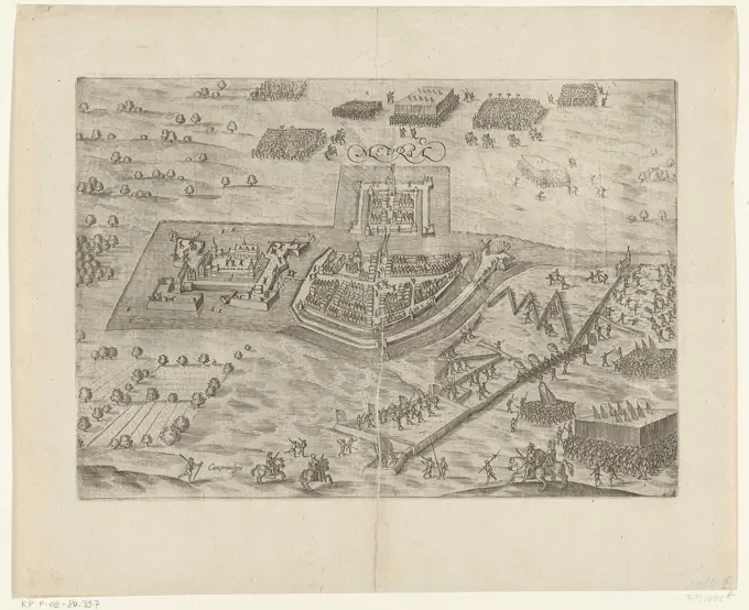
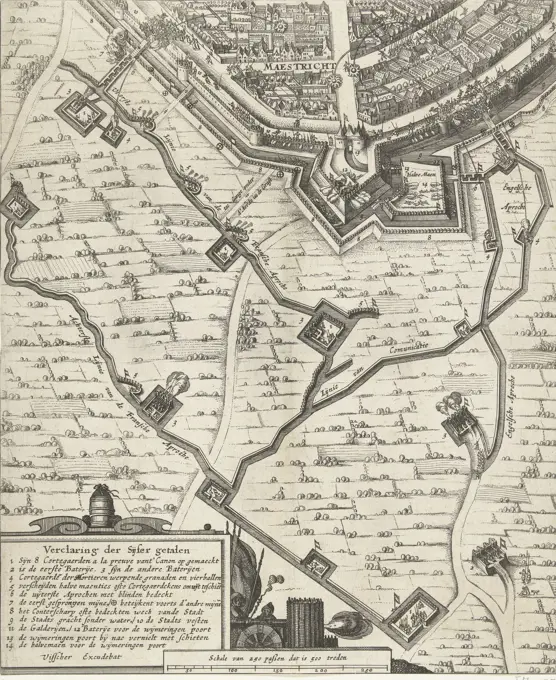
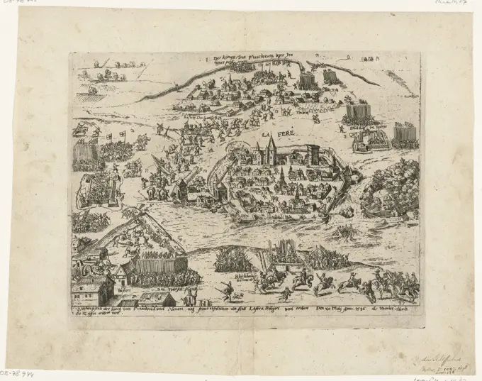
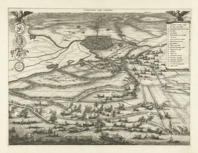
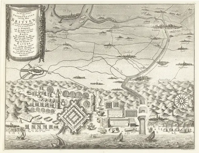
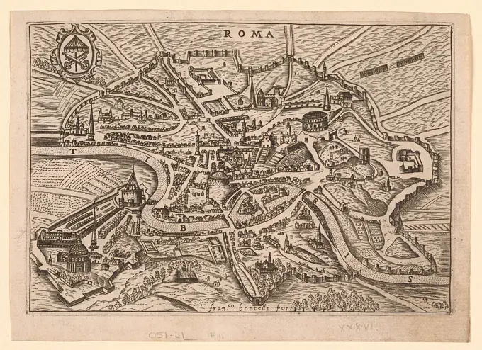
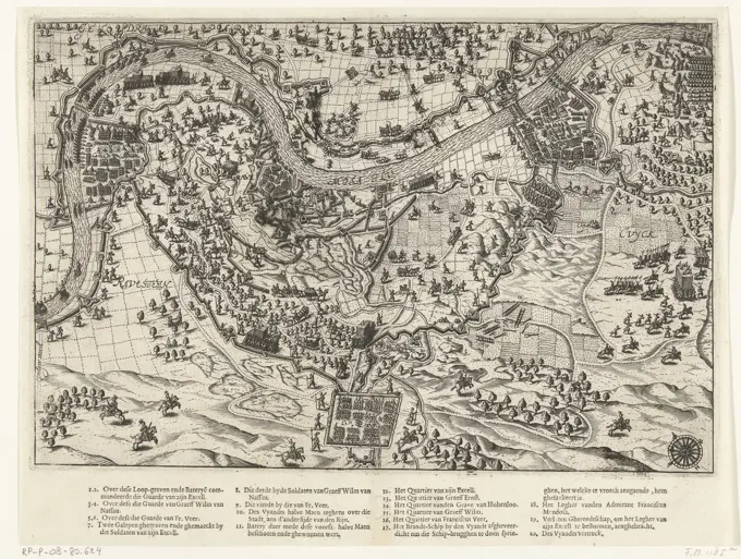
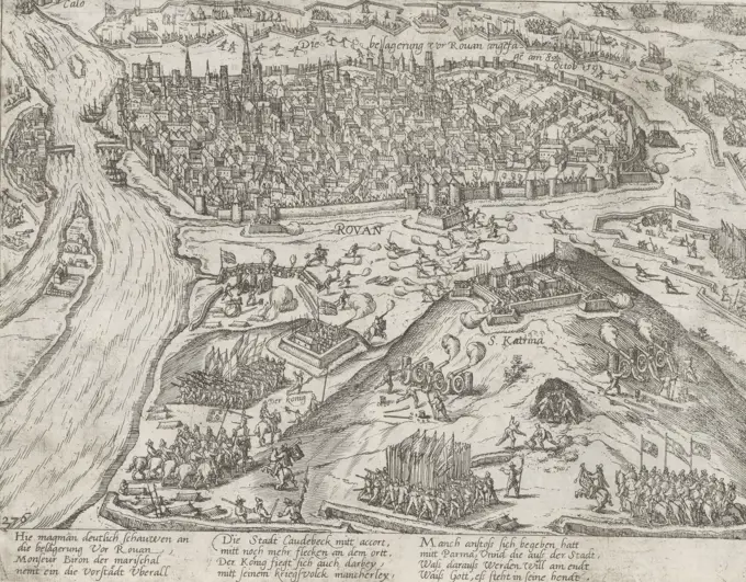
Historic Siege Maps and Prints

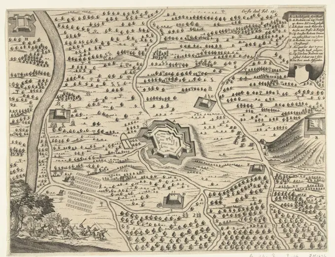
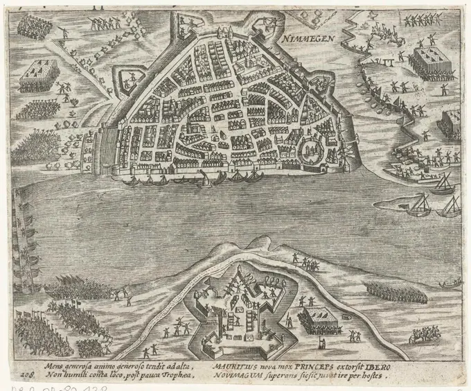
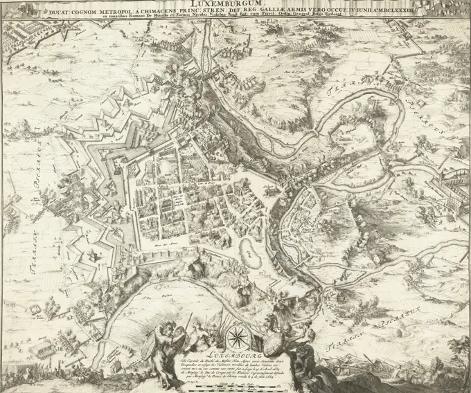
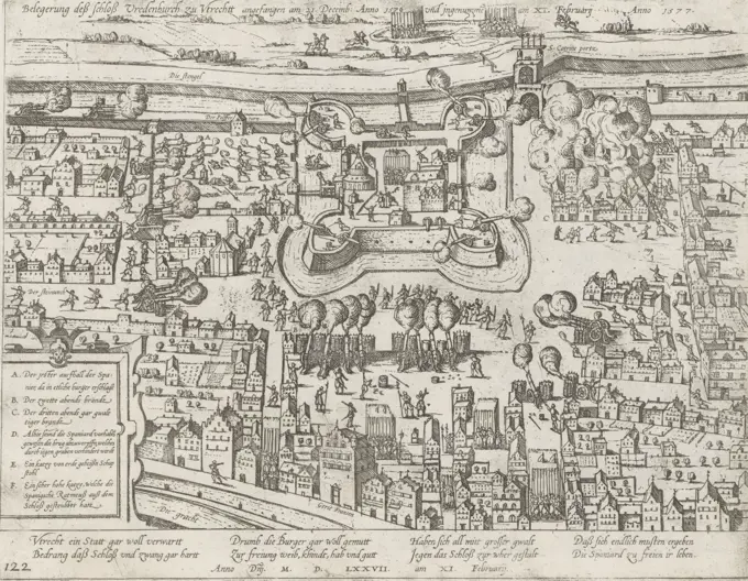
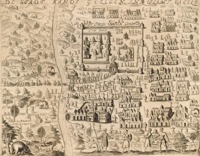
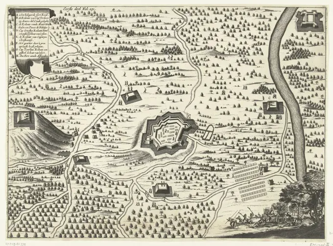
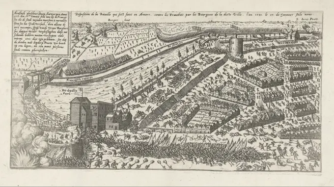
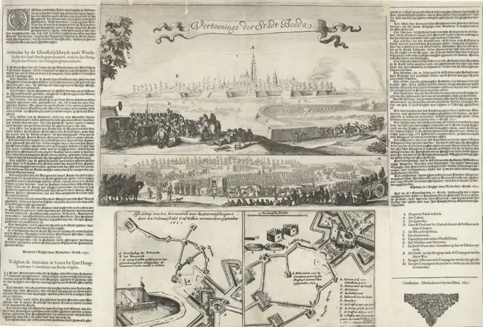
Detailed historical maps depicting significant sieges and battles from the 16th and 17th centuries, including illustrations of military positions and city layouts.

Cologne, Hogenberg, French, Series 4: French, German and English Events, 1576-1610, The besiegerung vor Rouan angefangen am 8 octob. 1591, Siege of Rouen, 1591, Siege of Rouen by the king's troops, begun on 8 October 1591. View of the walled city and the besieged troops surrounding it. Numbered lower left: 276. The print is part of an album., print, picture, history print, album sheet, prints, pictures, Frederik Muller History plates, height 213 mm, width 275 mm, Dutch, German, 1540 - 1590, print maker, printmaker, 1591 - 1593, paper, etching, etchings