Historical Architectural Plans
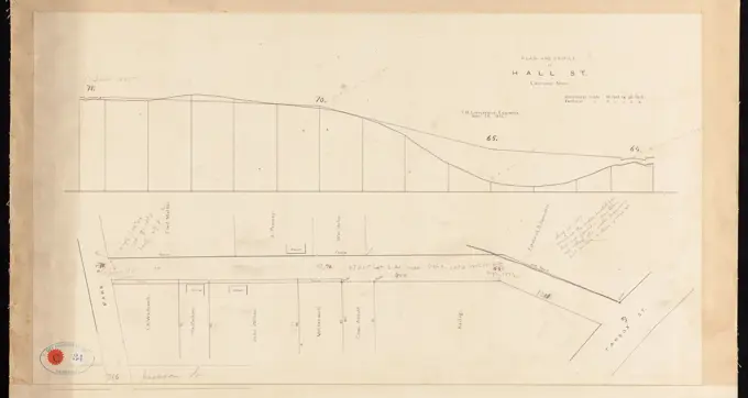
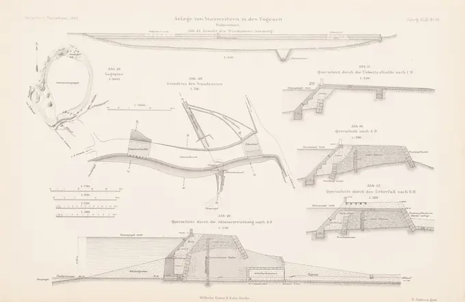
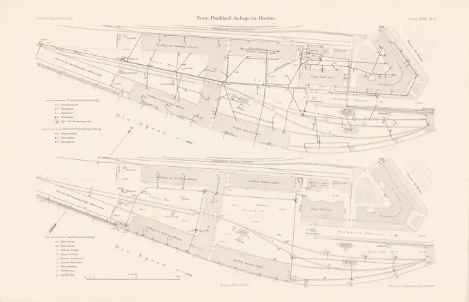
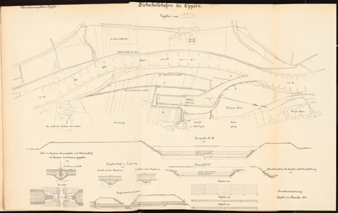
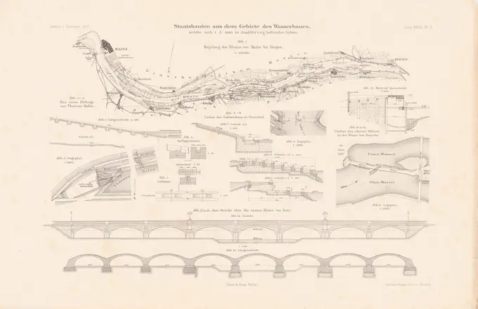
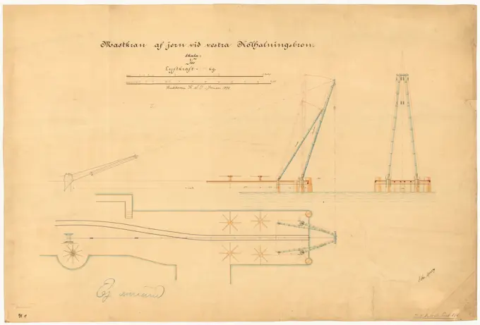
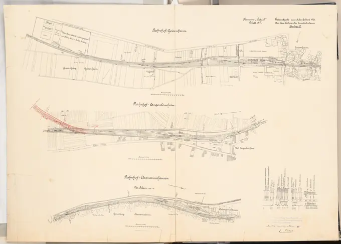
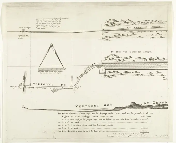
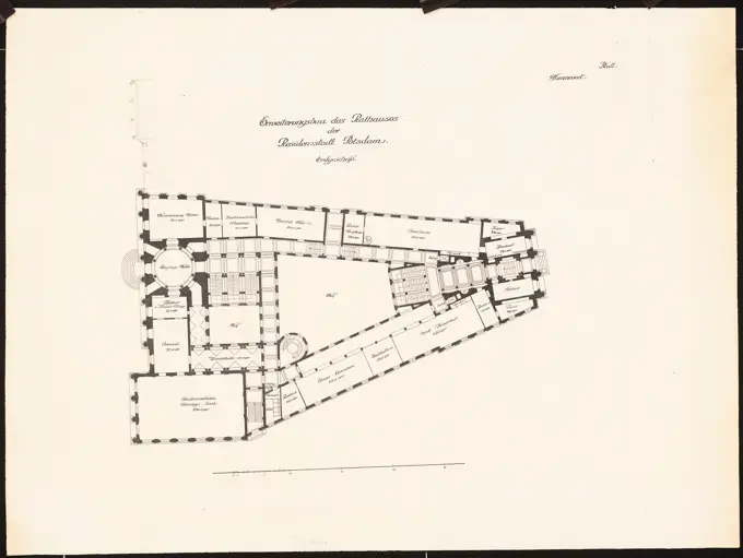
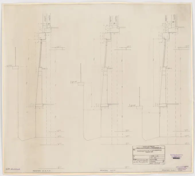
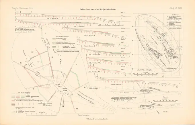
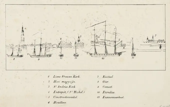
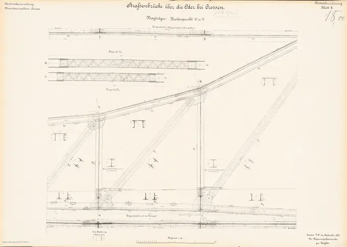
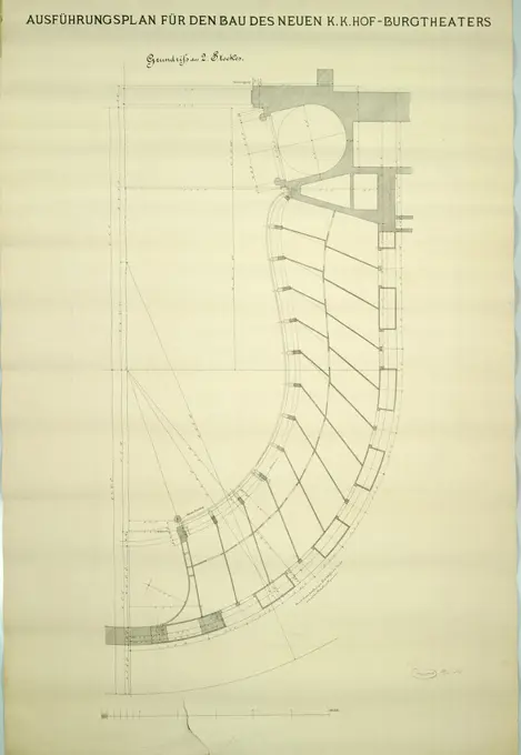
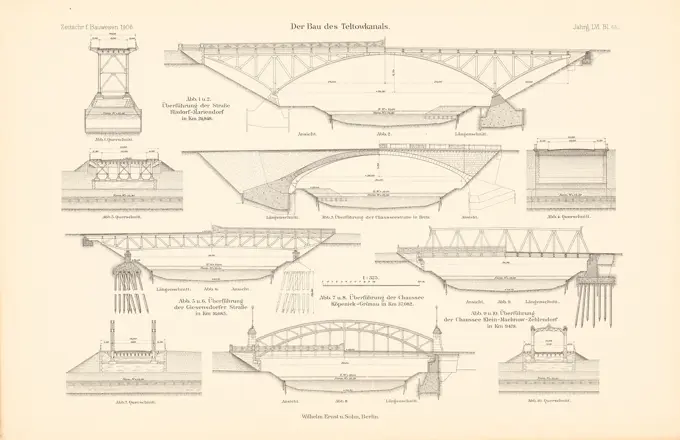
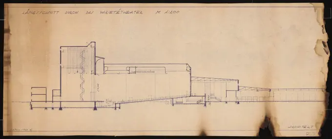
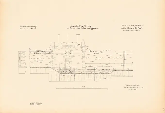
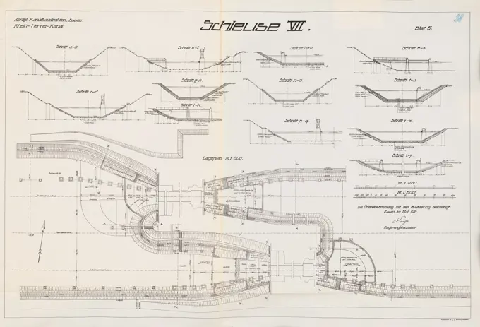
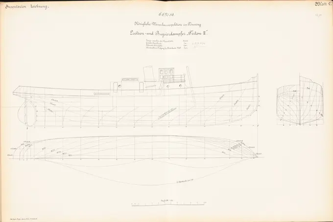
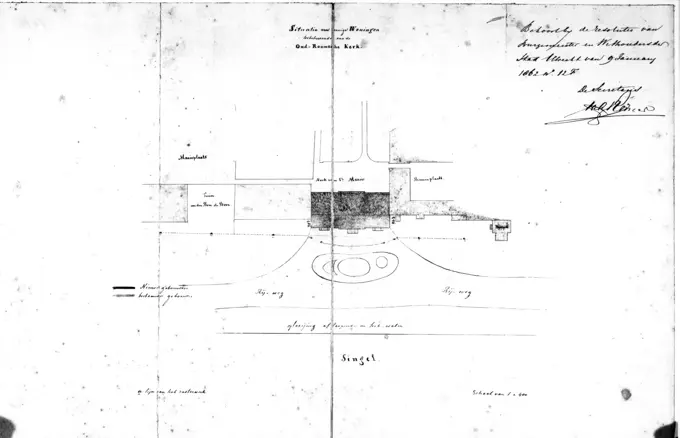
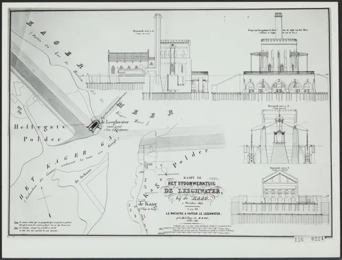
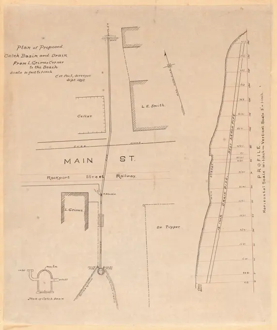
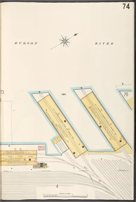
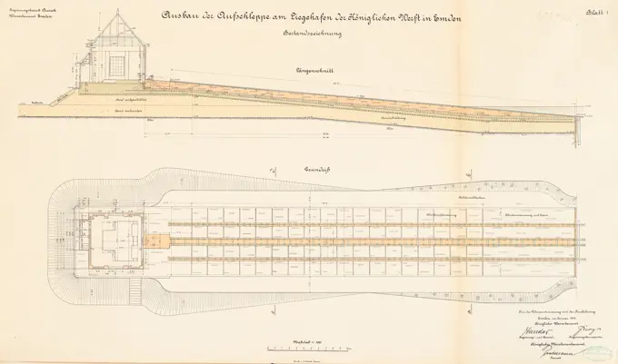
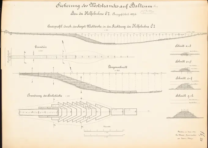
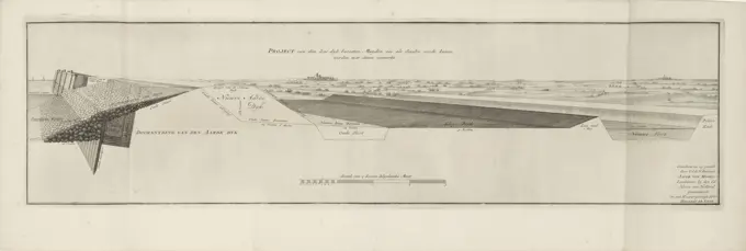
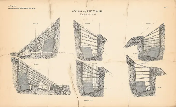
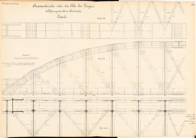
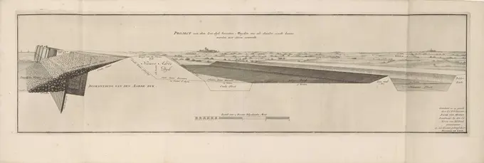
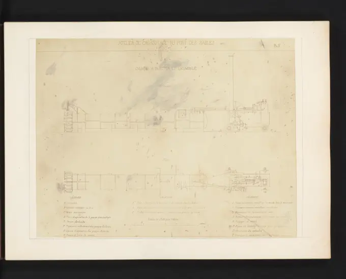
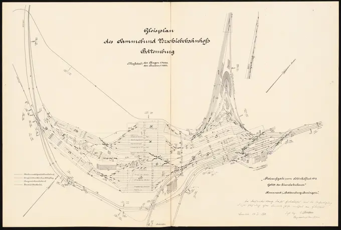
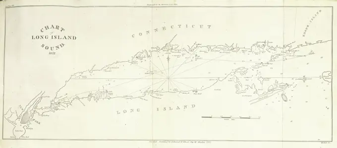
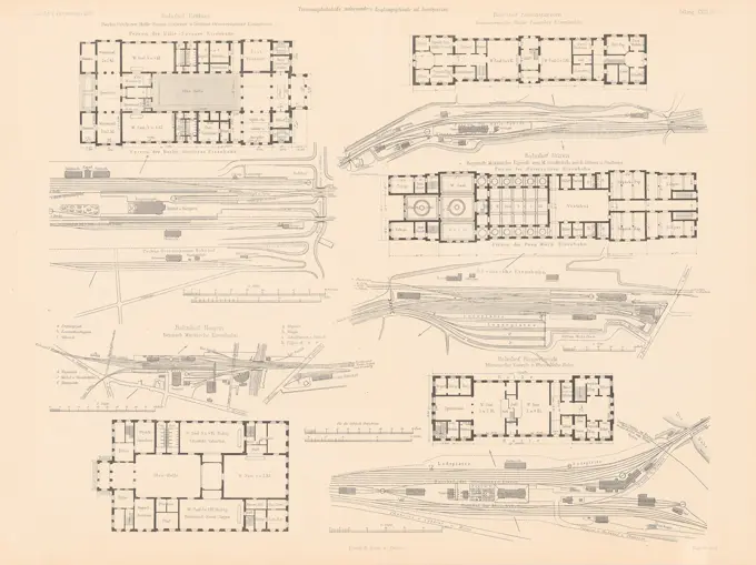
A collection of architectural plans and sections from the 19th and early 20th centuries, showcasing designs for shipyards, streets, and infrastructure with detailed measurements and technical drawings

A collection of architectural plans and sections from the 19th and early 20th centuries, showcasing designs for shipyards, streets, and infrastructure with detailed measurements and technical drawings