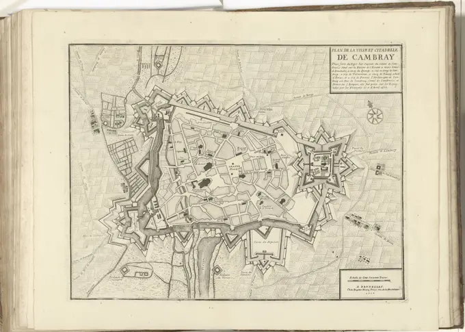
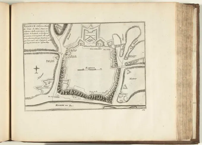
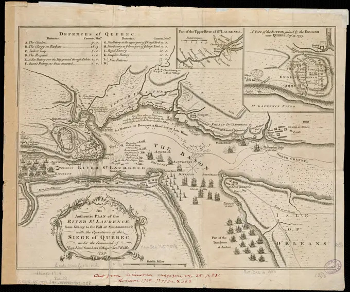
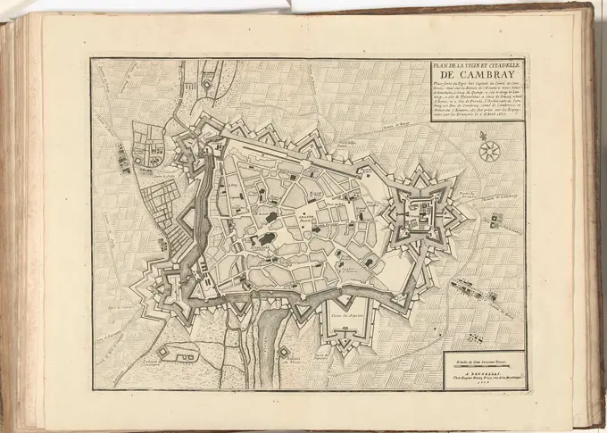
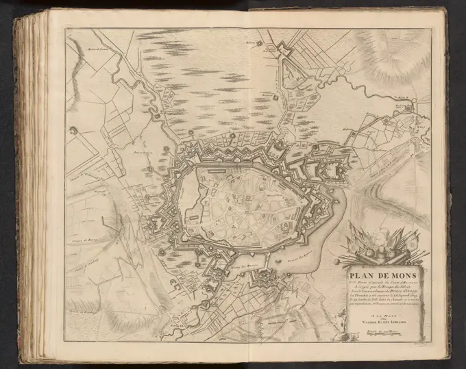
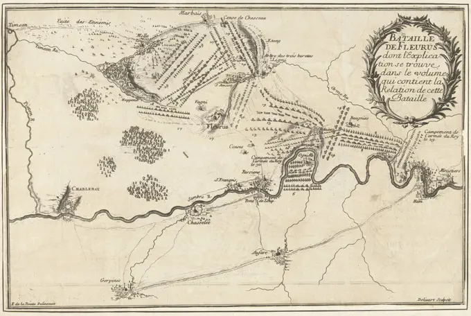
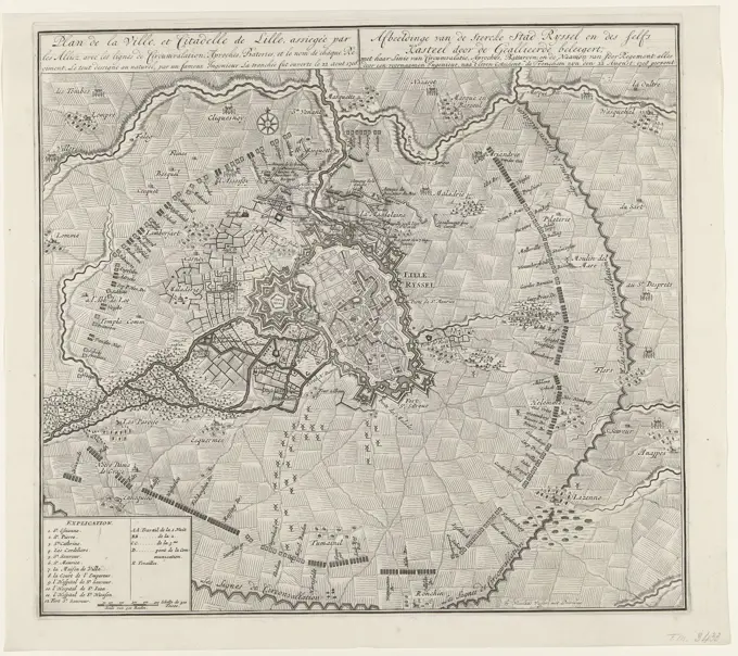
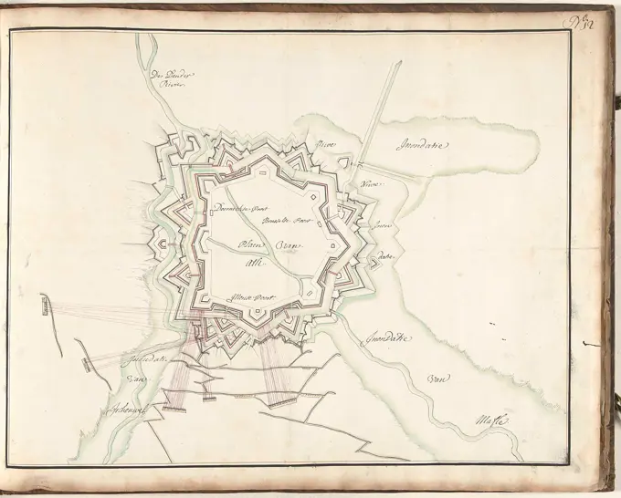
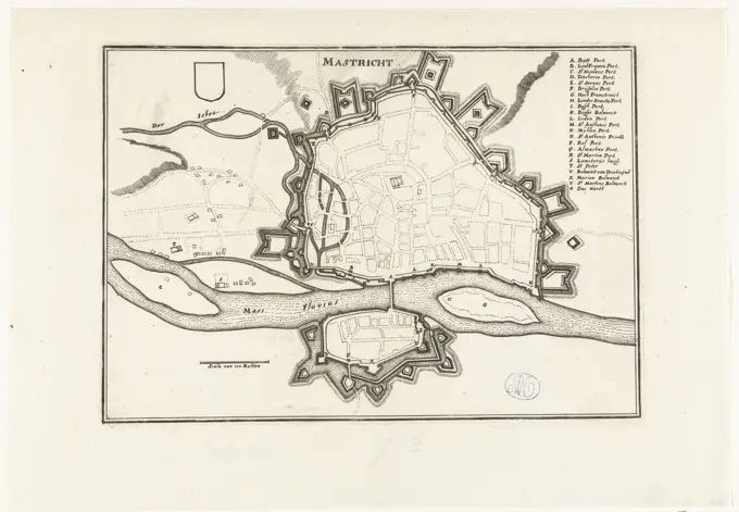
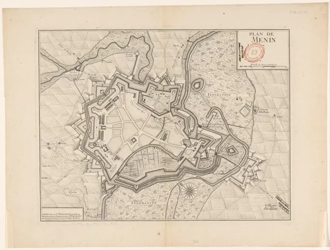
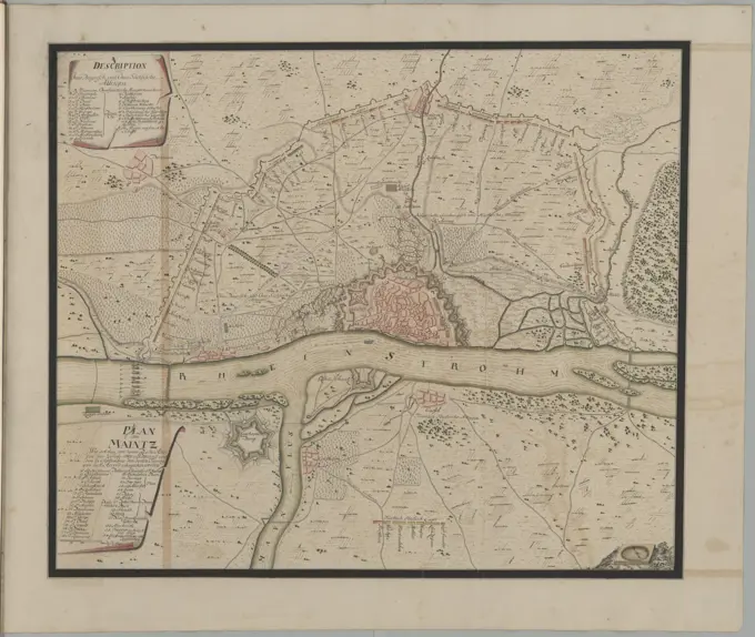
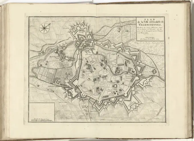
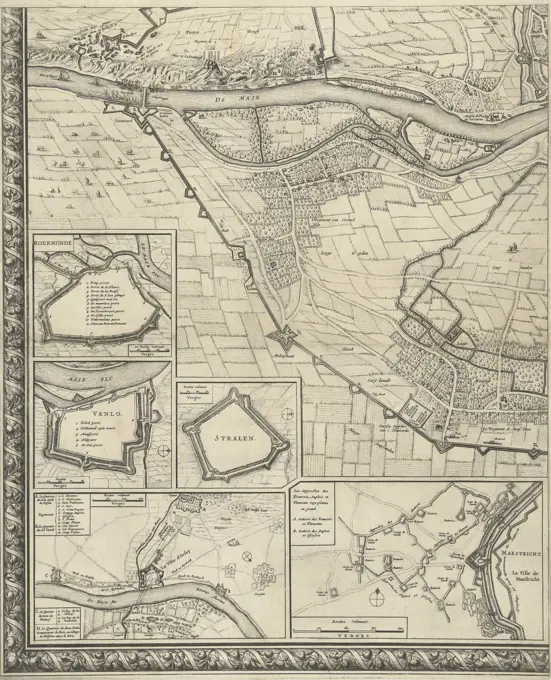
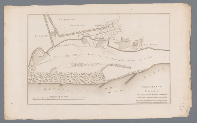
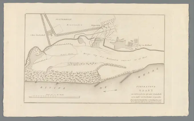
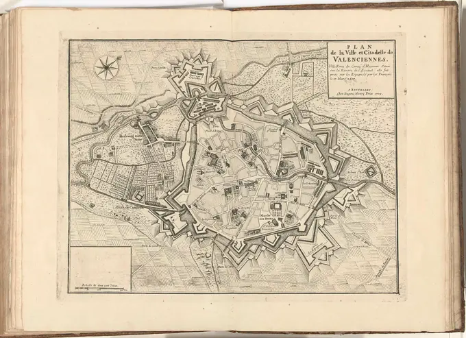
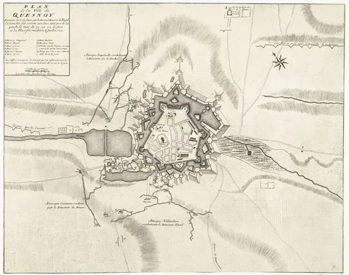
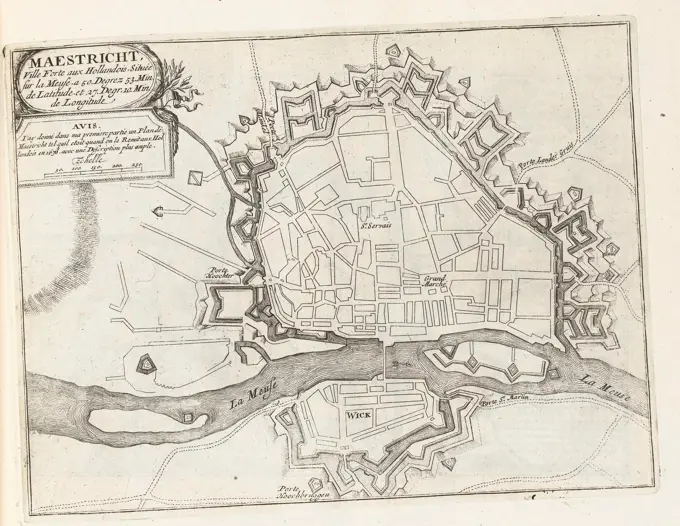
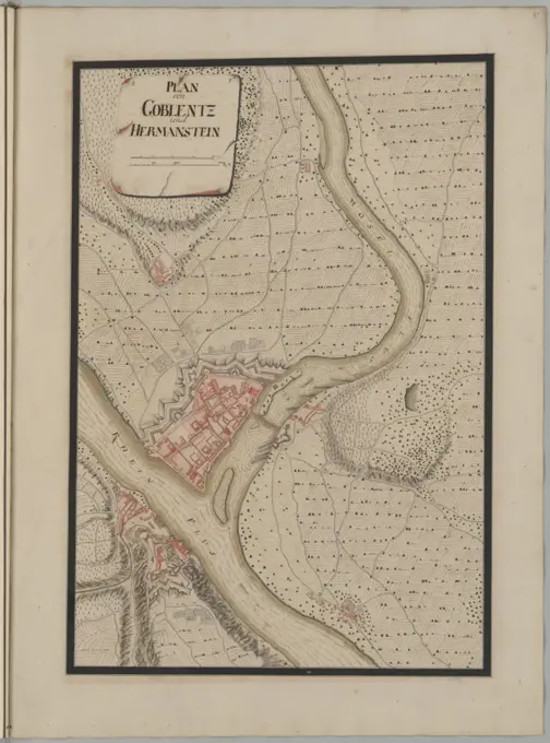
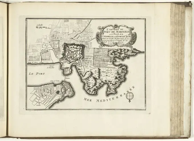
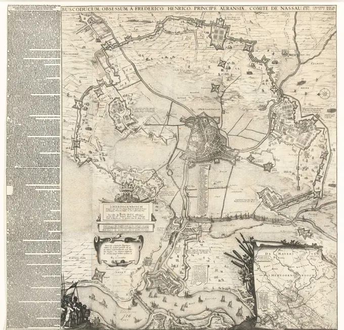
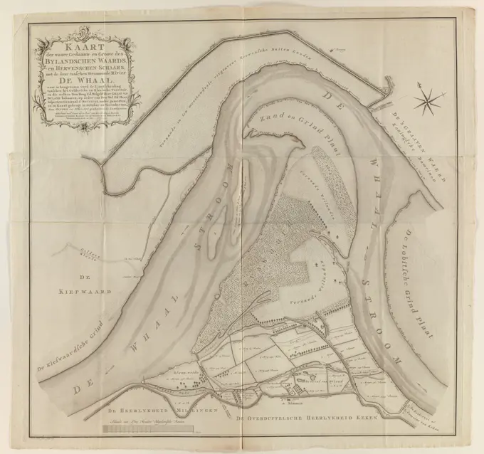
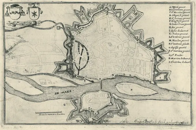
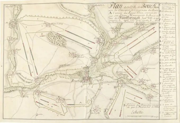
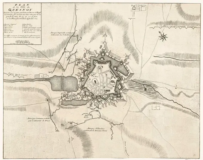
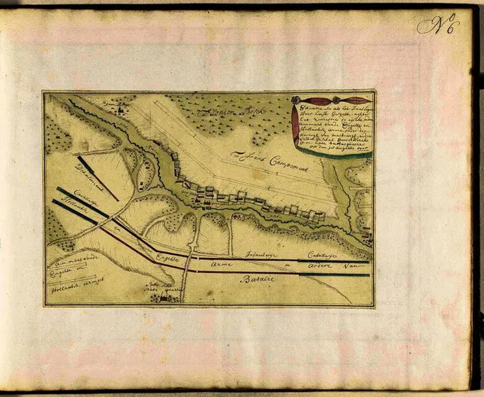
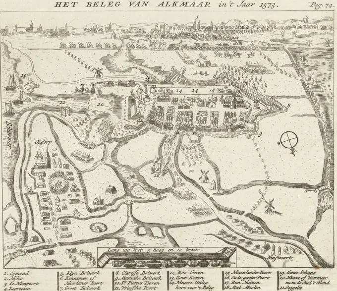
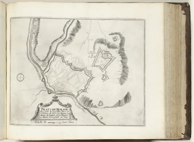
Historical Battle Maps

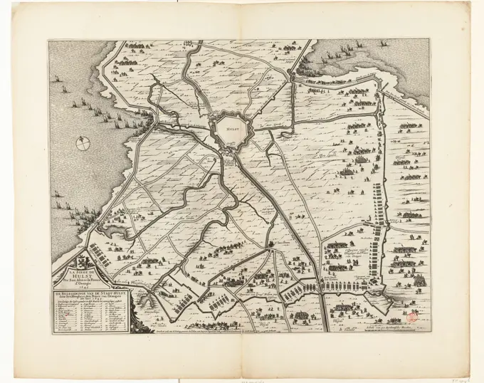
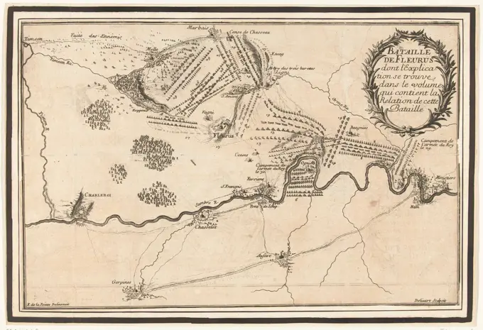
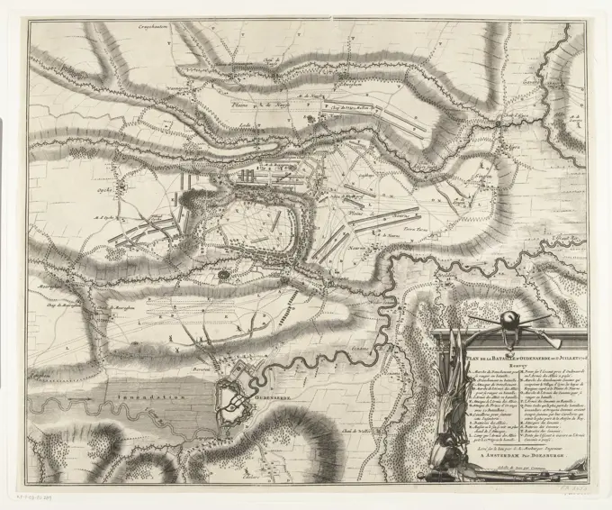
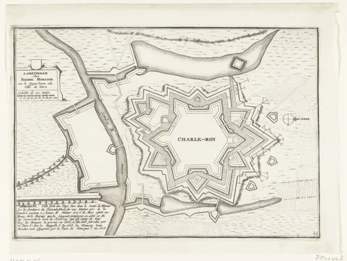
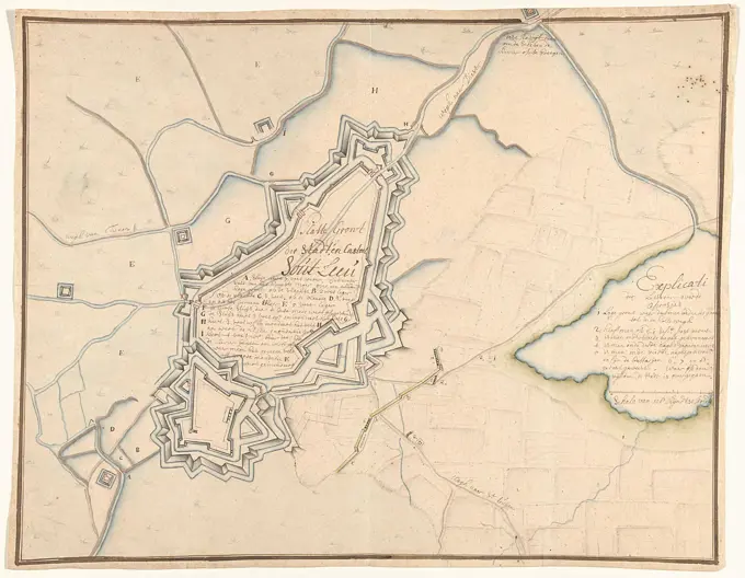
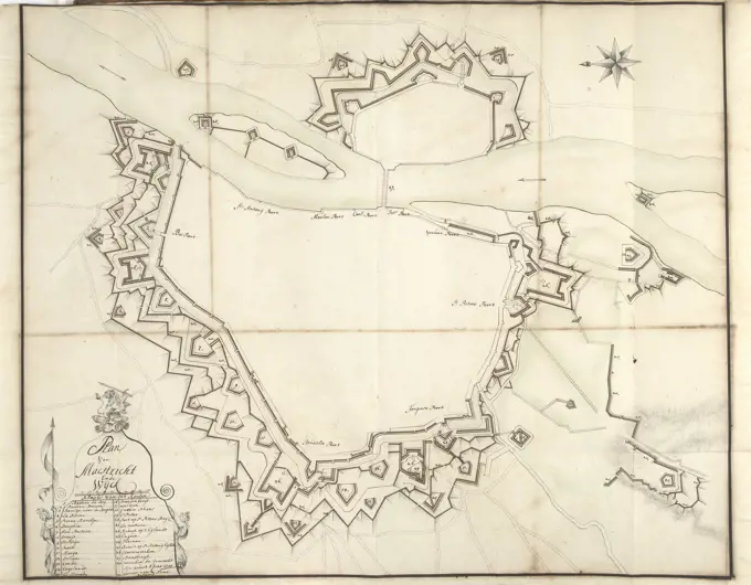
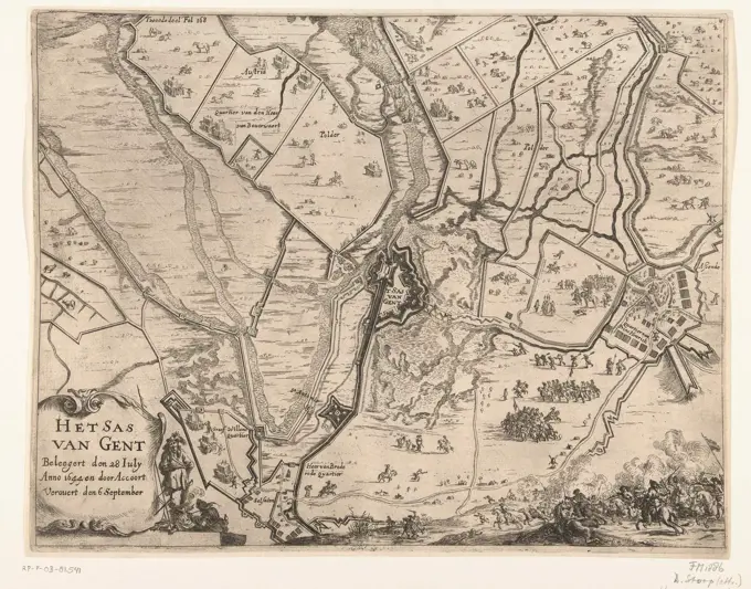
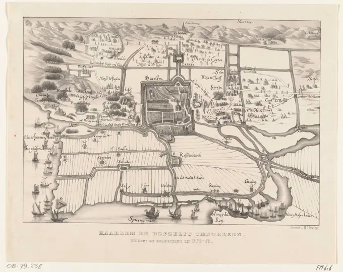
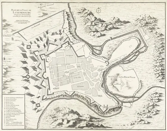
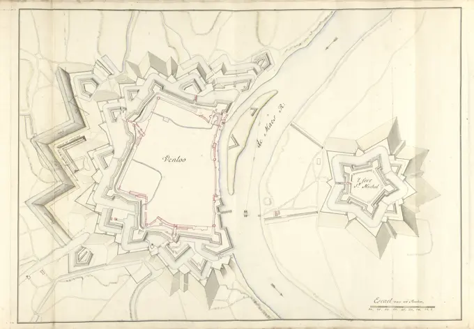
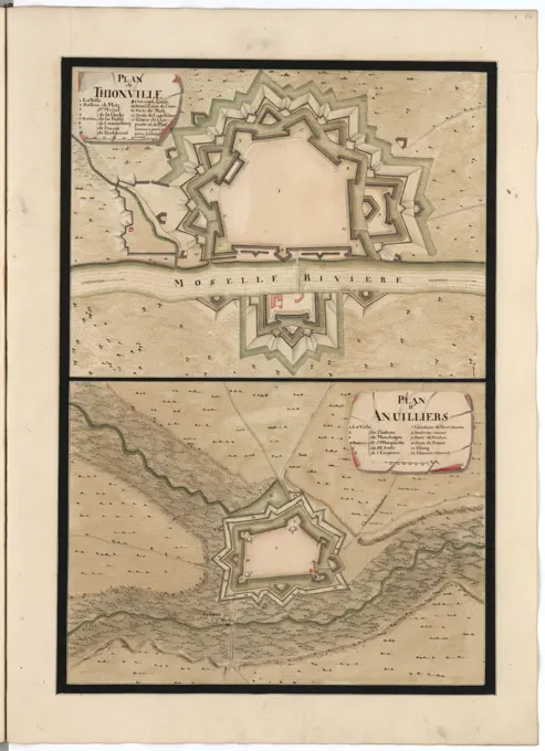
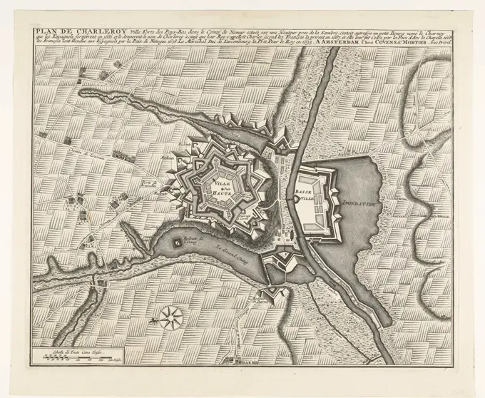
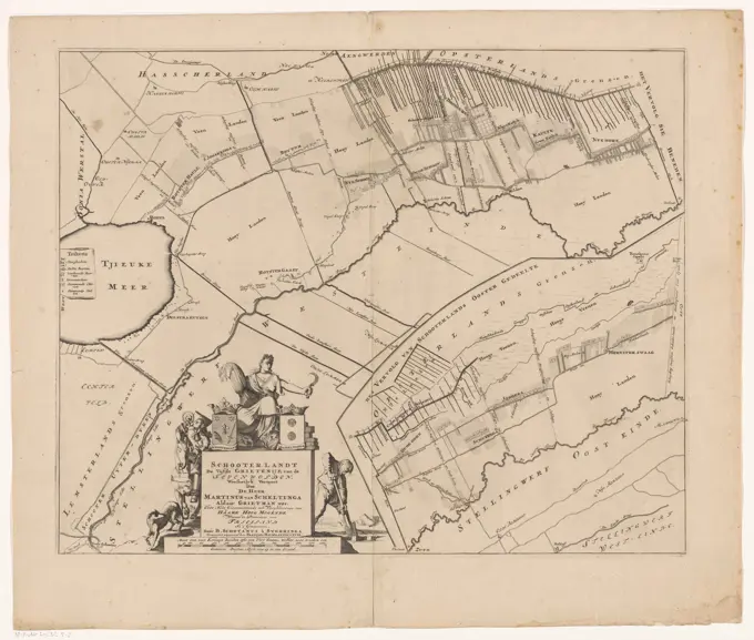
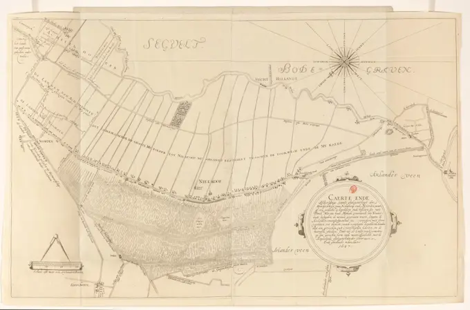
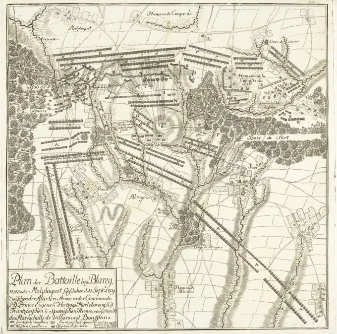
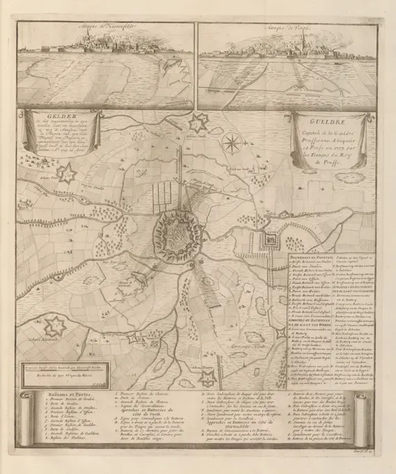
Collection of 18th-century maps depicting significant battles and fortified cities from the Spanish Succession War, featuring detailed engravings and cartouches.

The Hague, Kloot, Isaac van der, Northern Netherlands, Call, Jan van (II), Gelder as it is currently stated in his works, and is enclosed: with the attacks, by the troops of his royal majesty of Prussia, commanded by his high. countl. excell. the lord general lieut. Lotthum. ao. 1703. April 20, Gueldre Capitale de la Gueldre Prussienne, Siege of Geldern, 1703, Map of Geldern and surroundings, during the siege by the Prussian troops under general Lotthum on April 20. At the top the bombardment of the city on October 7, 1703 seen from Hartenfeldt and Verth. At the bottom and right the explanations in French and Dutch. Numbered bottom right: Tom. II. No. 13. I, print, picture, map, books, Frederik Muller Historieplaten, height 432 mm, width 368 mm, 1689 - 1756, print maker, printmaker, 1703 - 1703, paper, papier, etching, etchings, Publication (Event), Publicatie, publisher, uitgever, 1729 - 1729