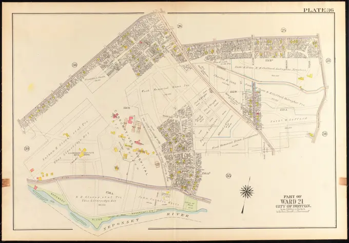
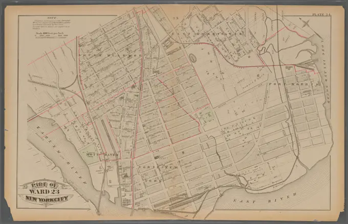
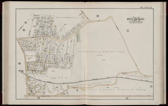
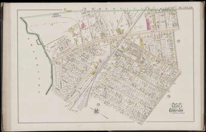
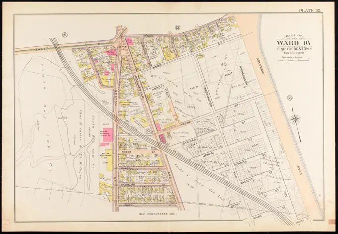
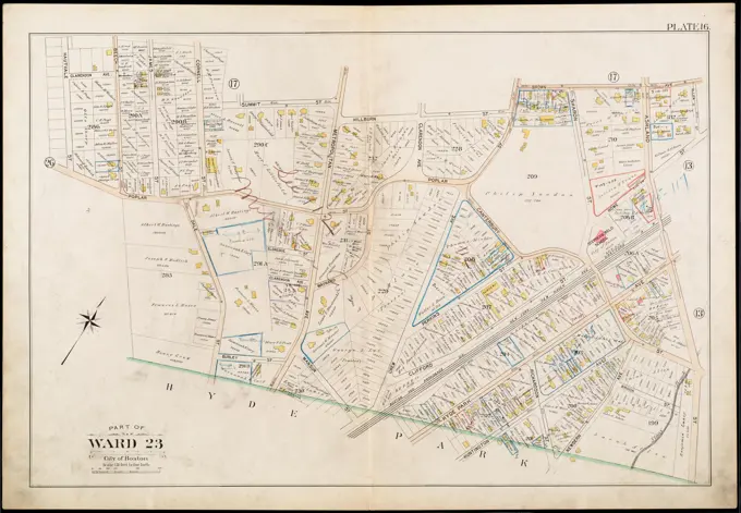
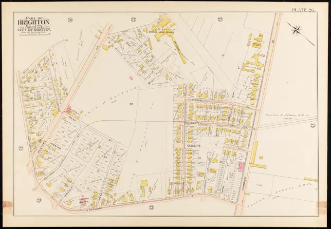
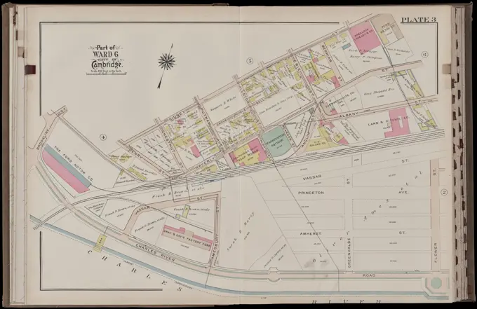
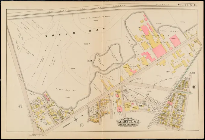
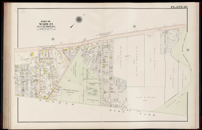
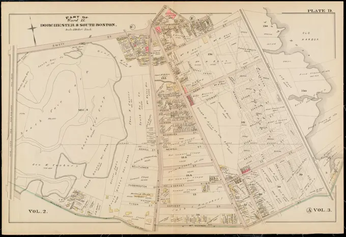
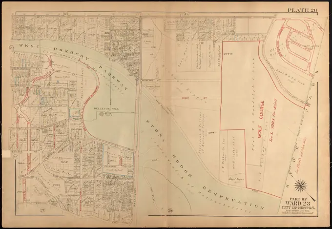
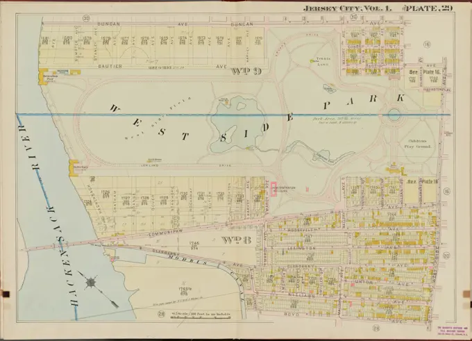
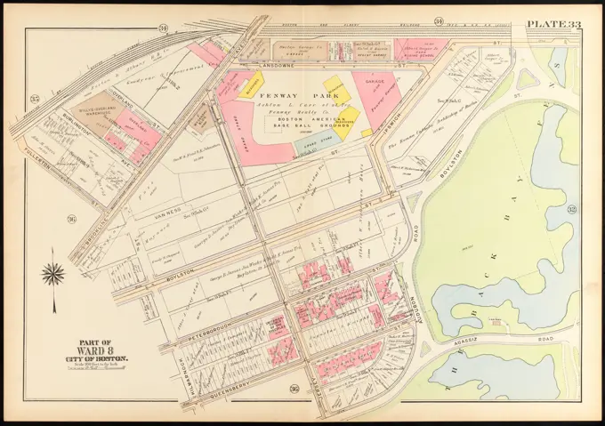
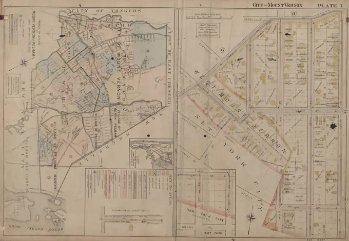
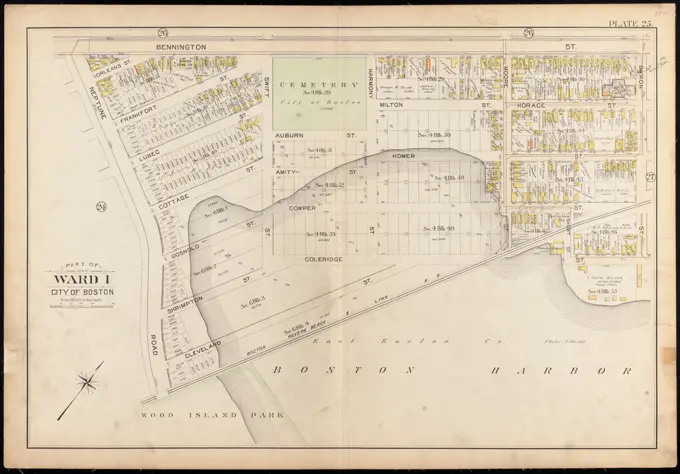
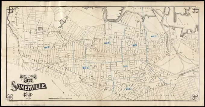
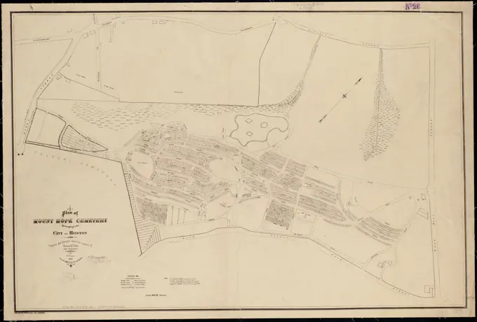
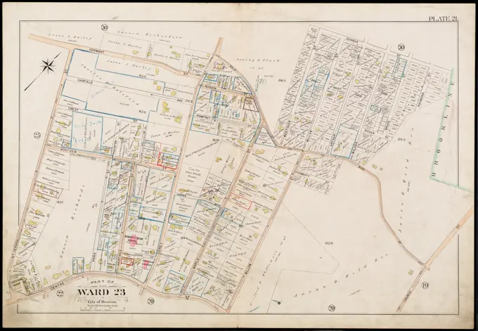
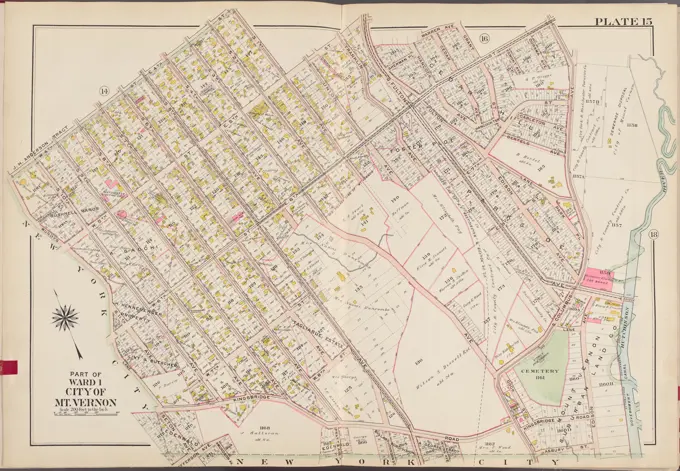
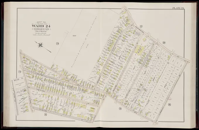
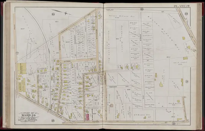
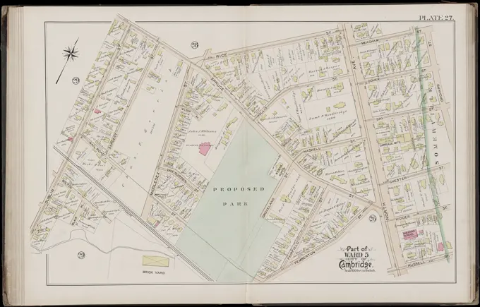
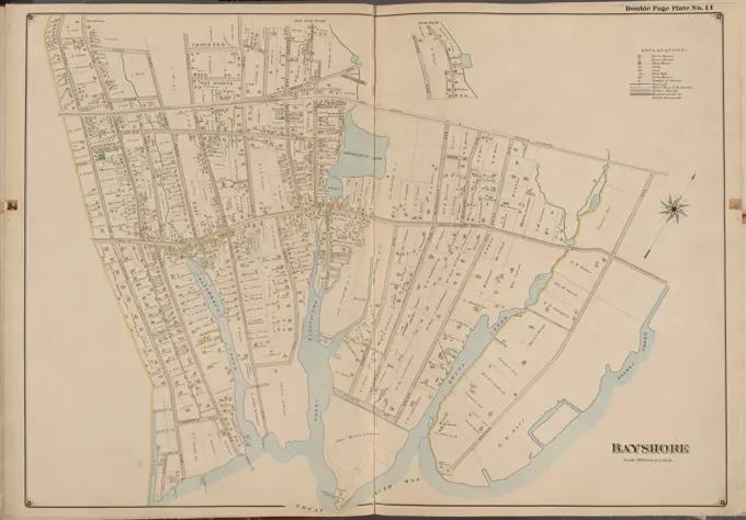
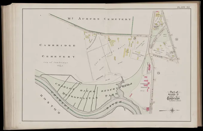
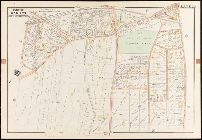
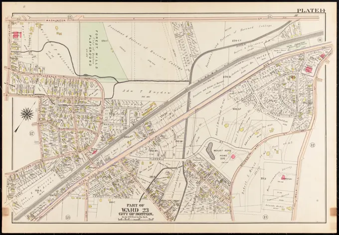
Historical Boston Maps
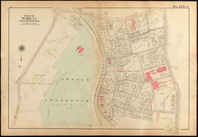
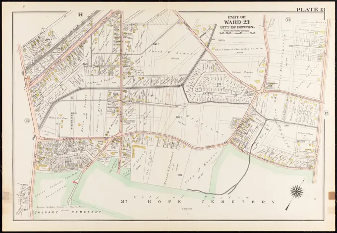
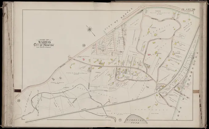
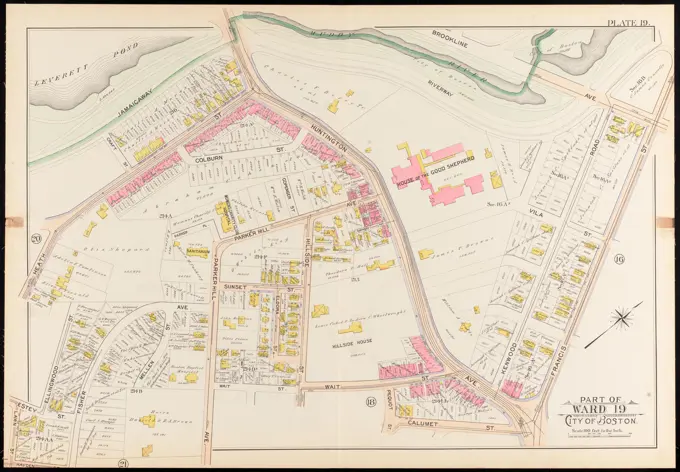
Colorful historical maps of Boston neighborhoods, detailing real property ownership and layout during the late 19th and early 20th centuries.

Colorful historical maps of Boston neighborhoods, detailing real property ownership and layout during the late 19th and early 20th centuries.