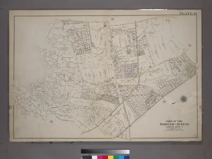
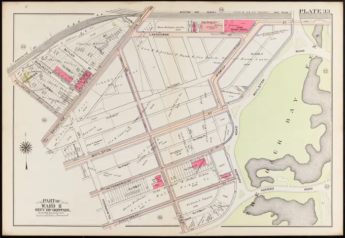
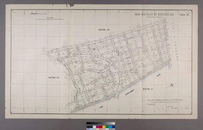
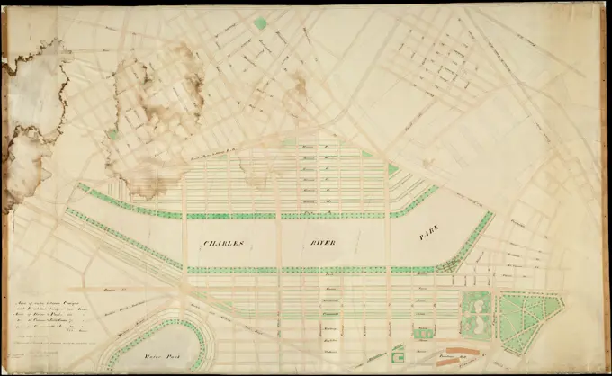
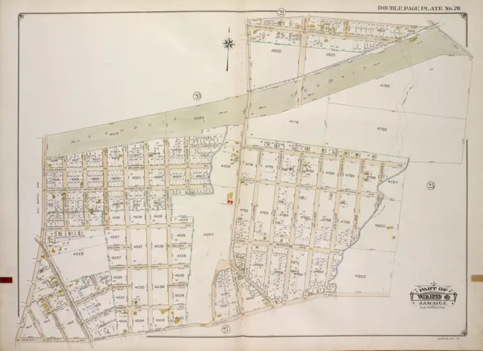
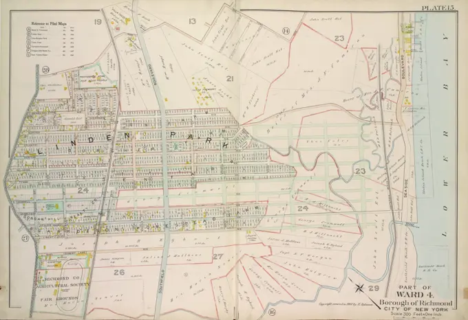
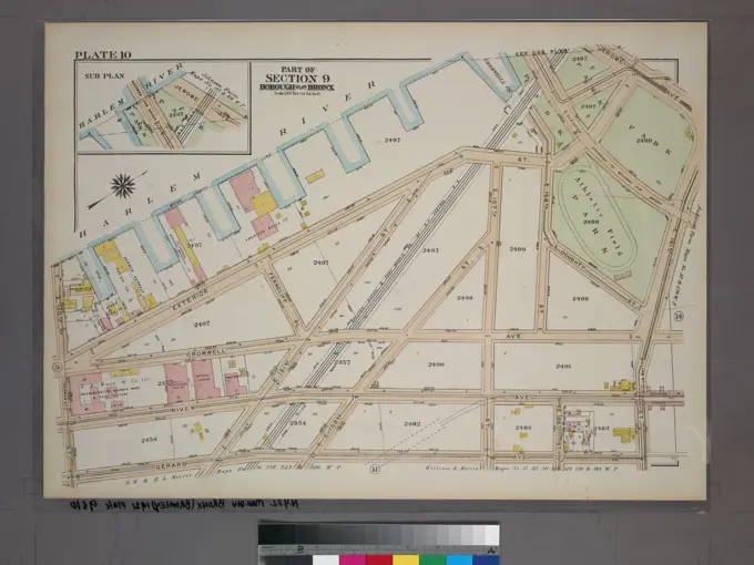
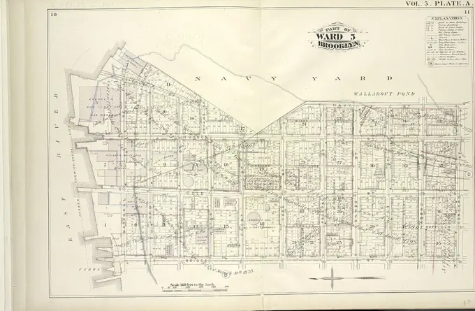
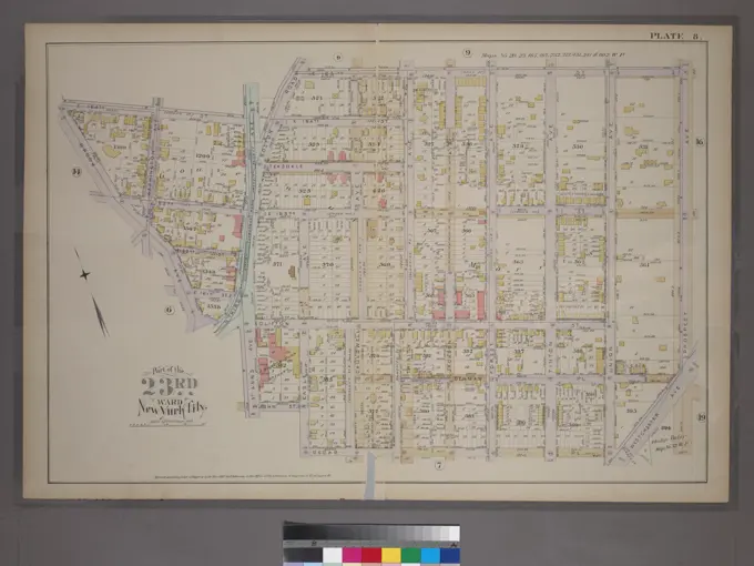
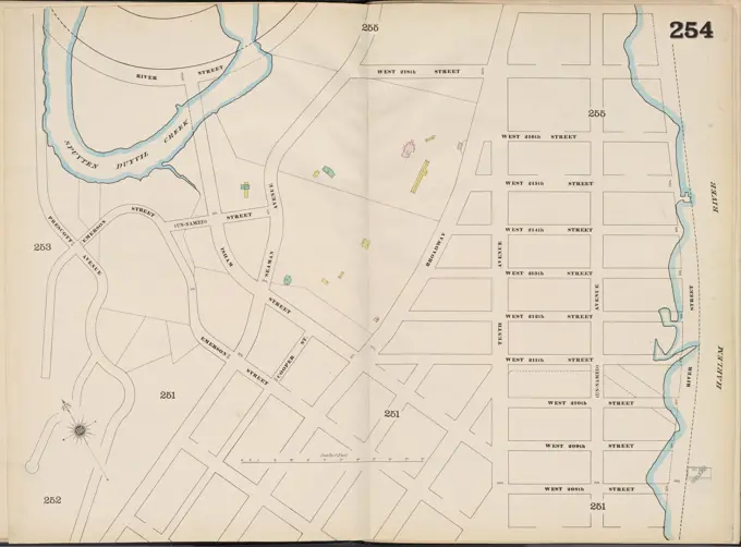
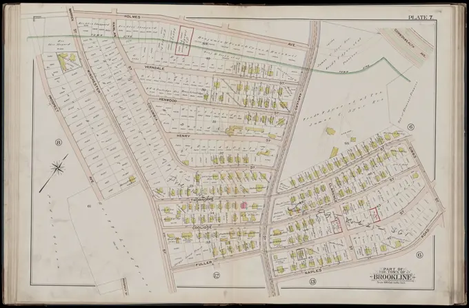
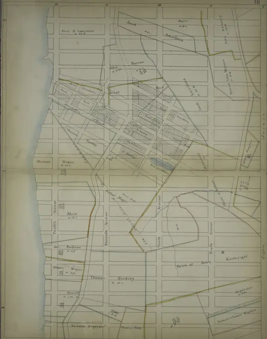
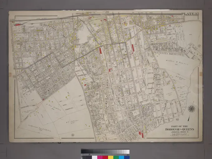
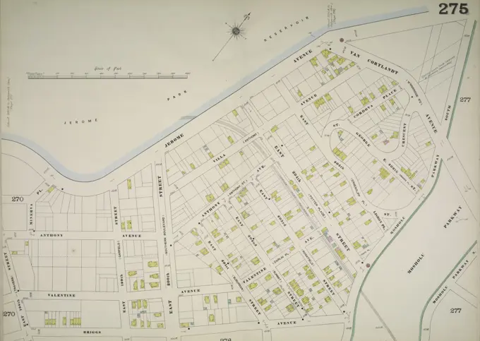
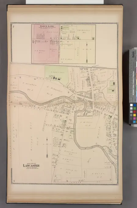
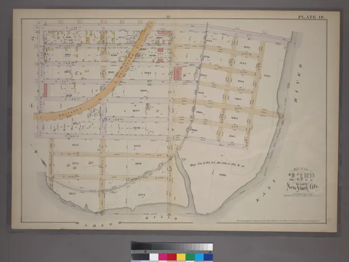
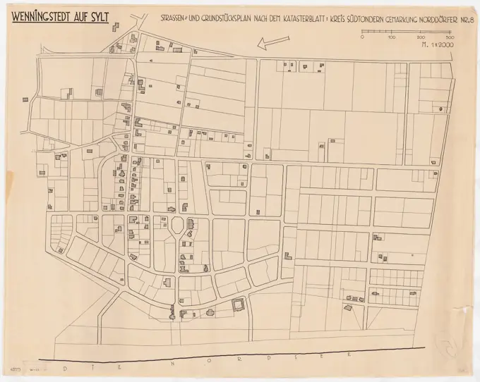
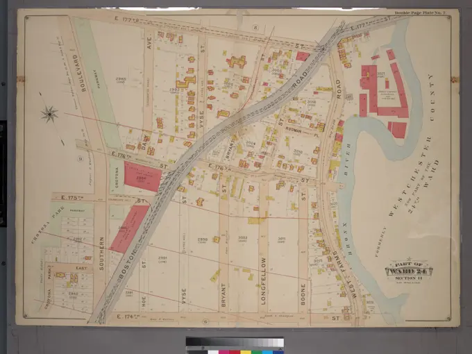
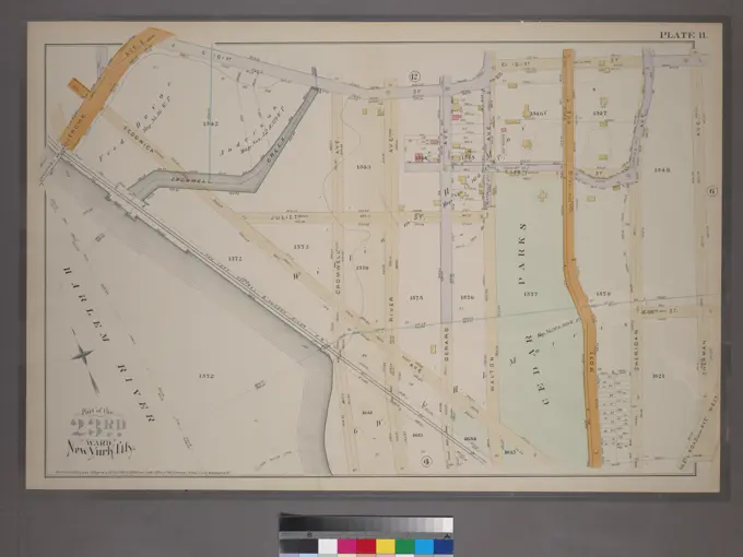
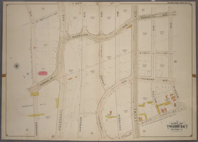
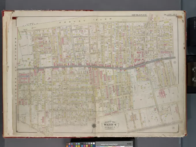
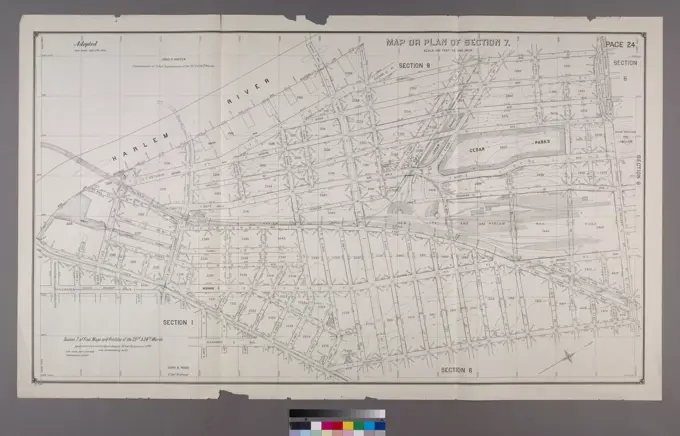
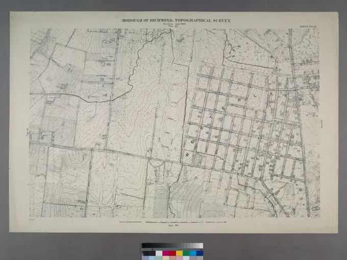
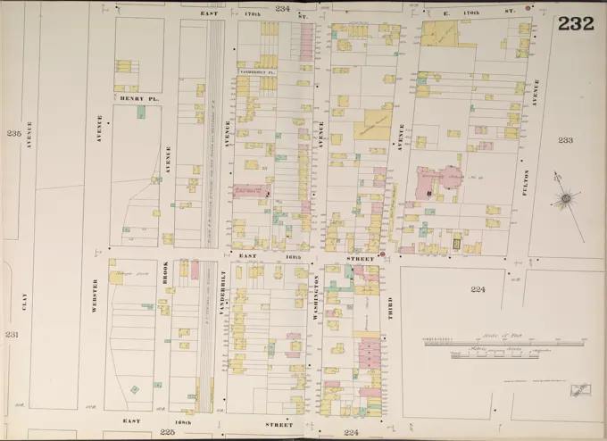
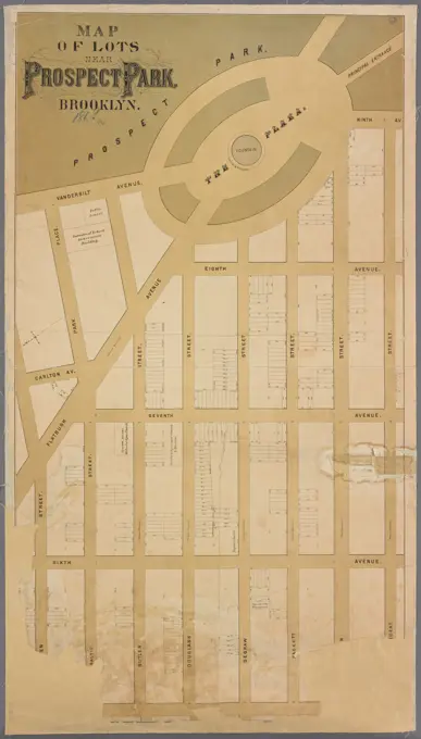
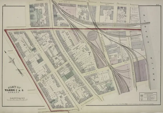
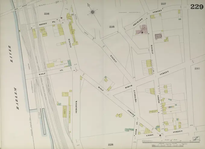
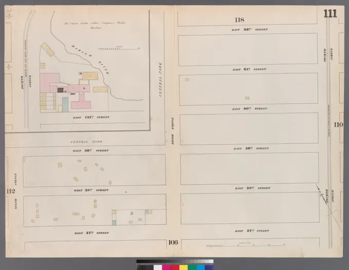
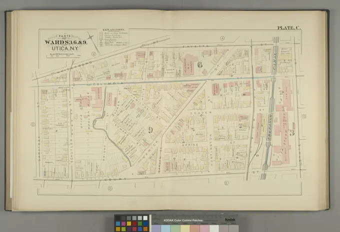
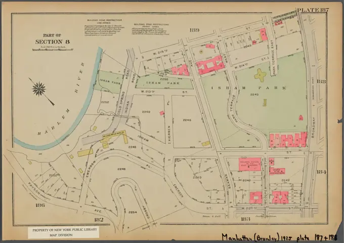
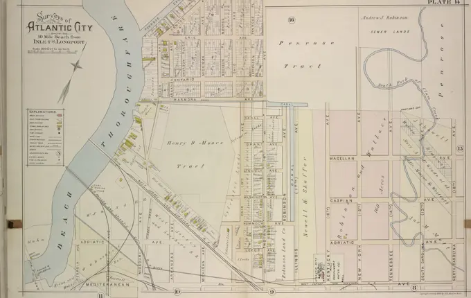
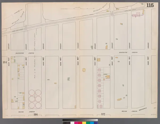
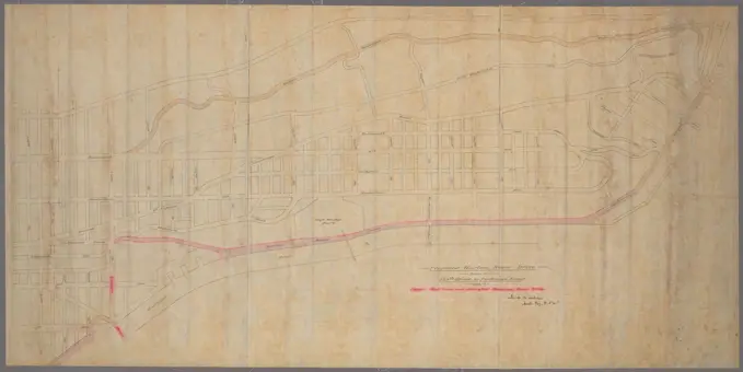
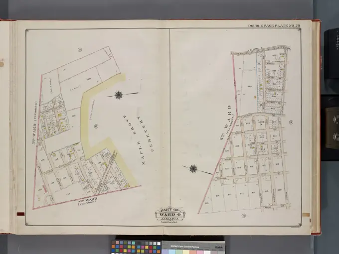
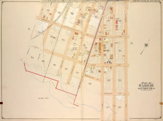
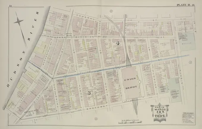
Historical Cadastral Maps
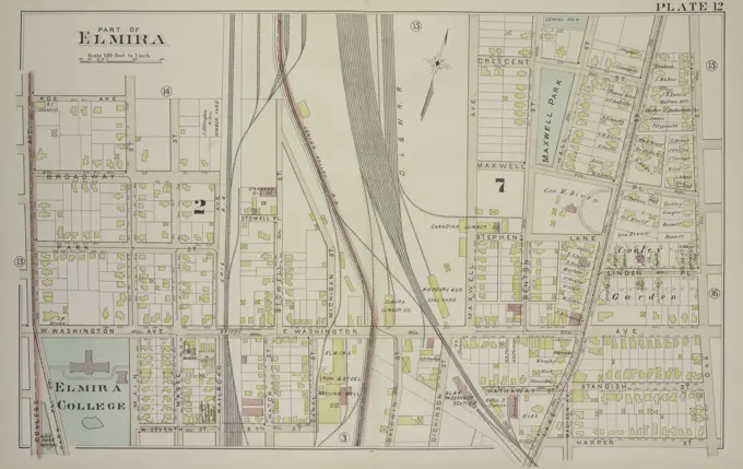
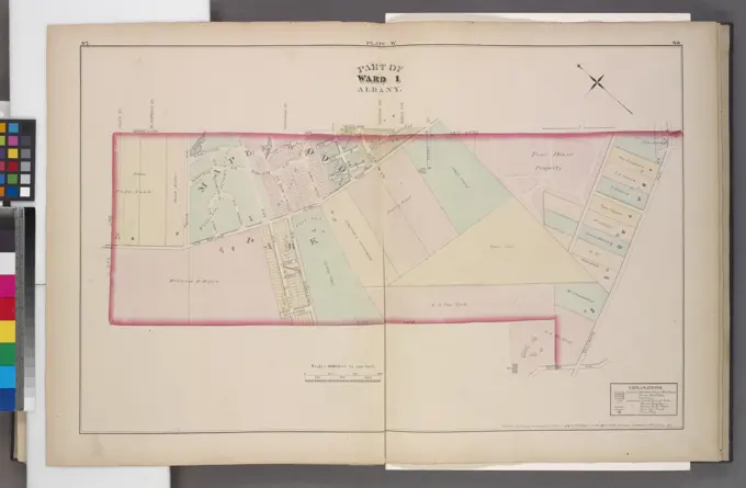
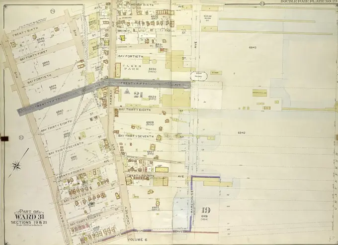
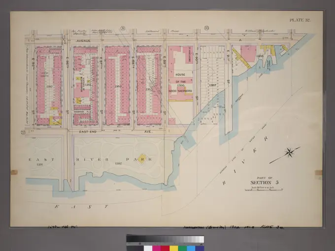
Detailed maps depicting real estate and land use in historical urban areas, showcasing property boundaries in Massachusetts and New York, with intricate designs and annotations.
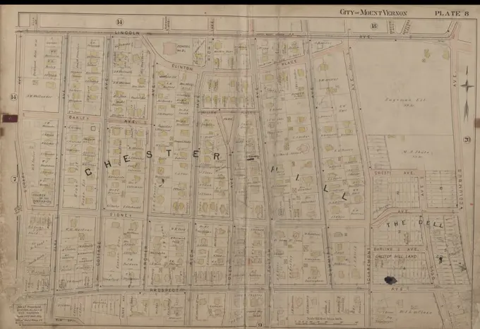
Detailed maps depicting real estate and land use in historical urban areas, showcasing property boundaries in Massachusetts and New York, with intricate designs and annotations.