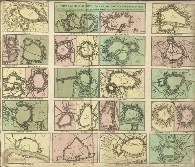
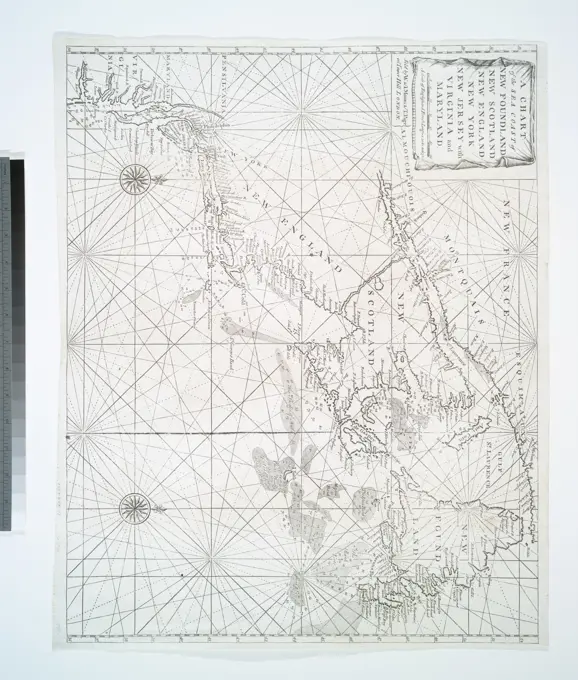
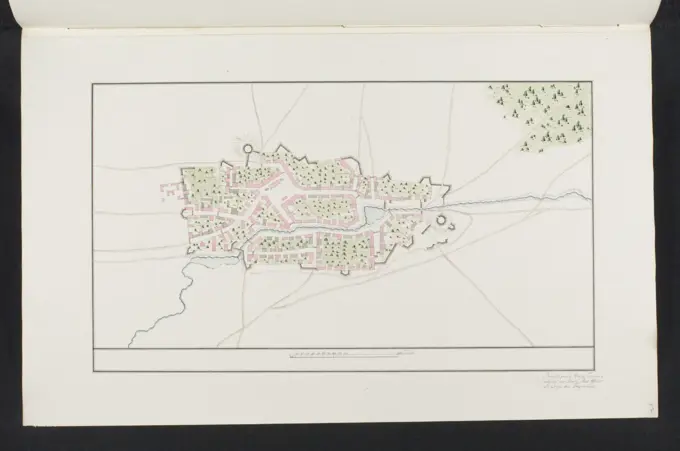
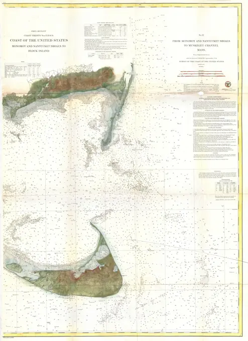
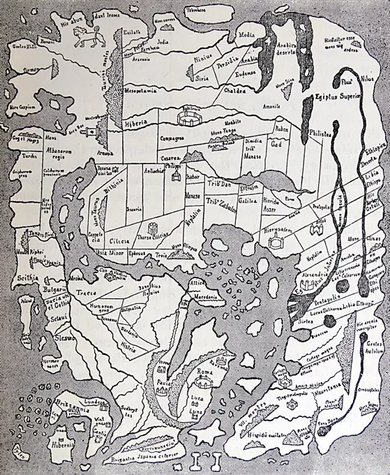
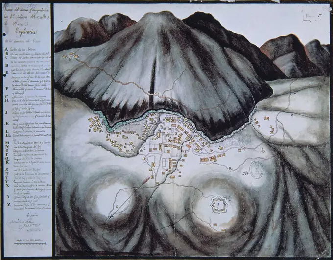
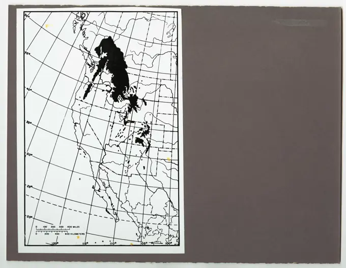
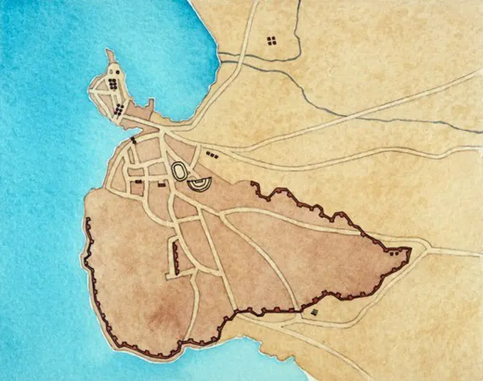
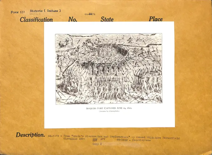
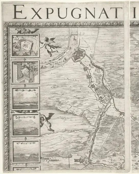
Historical Cartographic Maps

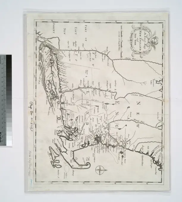
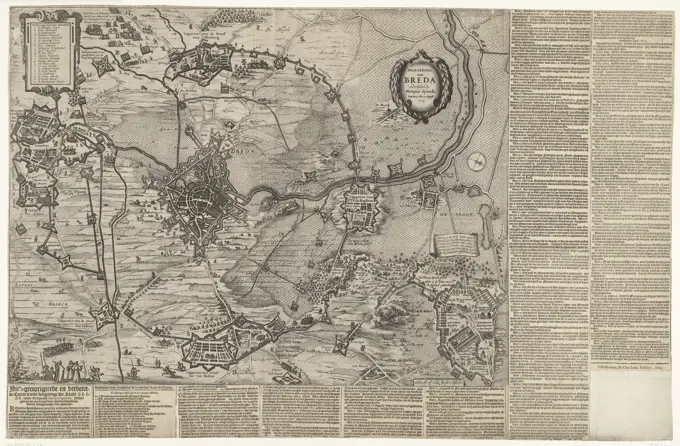
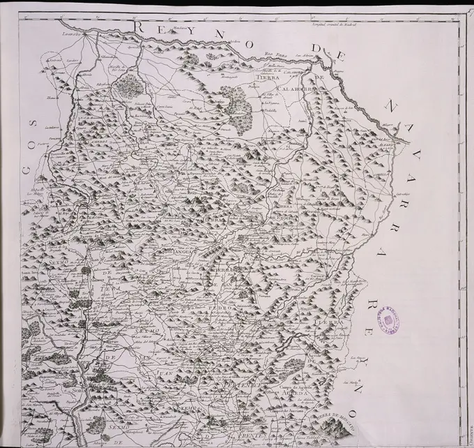
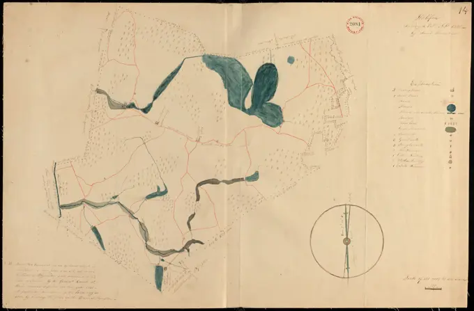
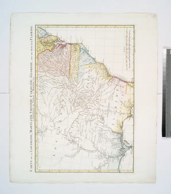
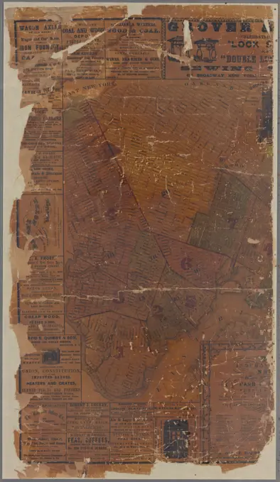
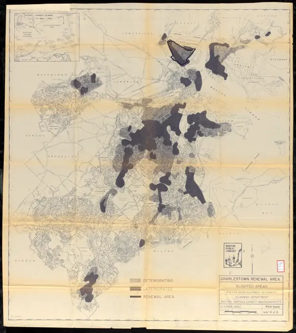
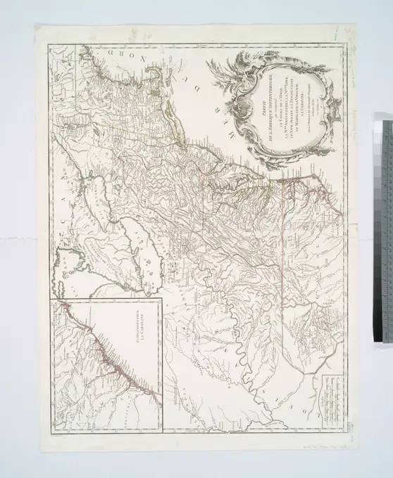
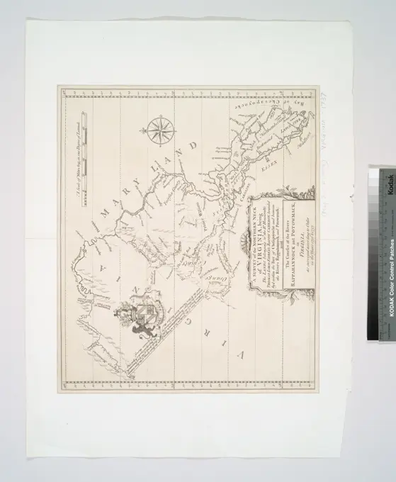
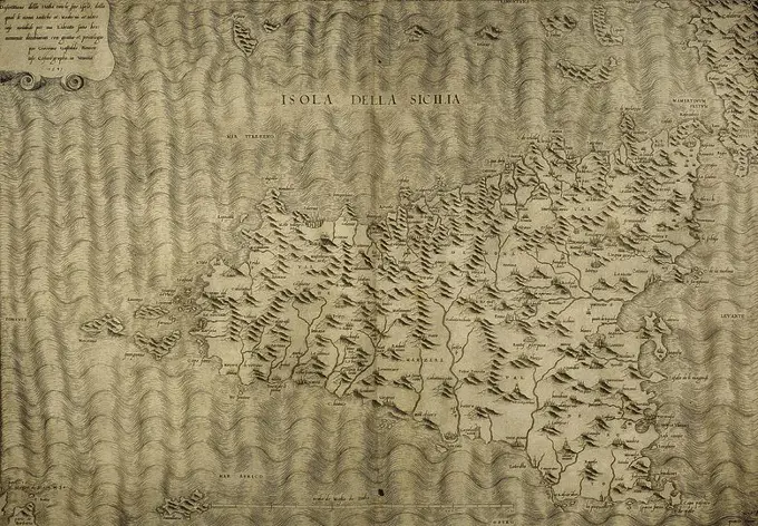
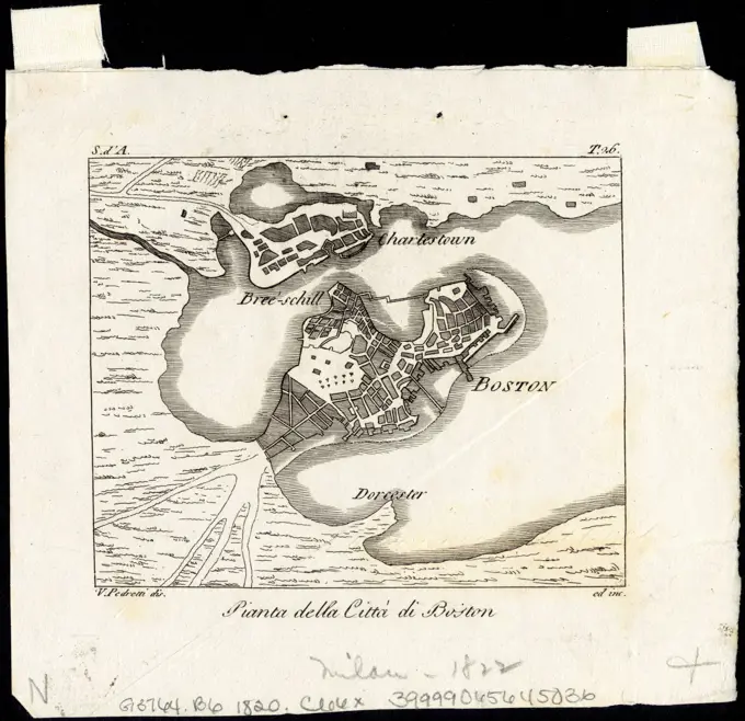
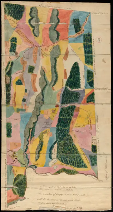
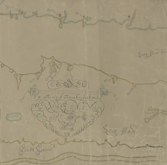
A collection of antique maps depicting regions like New England, Virginia, and the siege of Breda. Features detailed geographic layouts with historical significance.

Map of Long Island and adjacent areas of Connecticut, New York, and New Jersey, 1800 - 1899. Additional, Map of Long Island as far east as Wading River., 1800 - 1899 ., New York, N.Y., Long Island (N.Y.), Suffolk County (N.Y.), Nassau County (N.Y.), Queens County (N.Y.), Kings County (N.Y.), New York County (N.Y.), Bronx County (N.Y.), Connecticut, New Jersey., 1 map on 2 sheets hand-colored; 46 x 103 cm, sheets 46 x 58 cm, and 46 x 45 cm