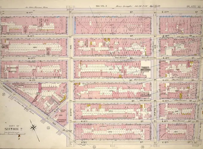
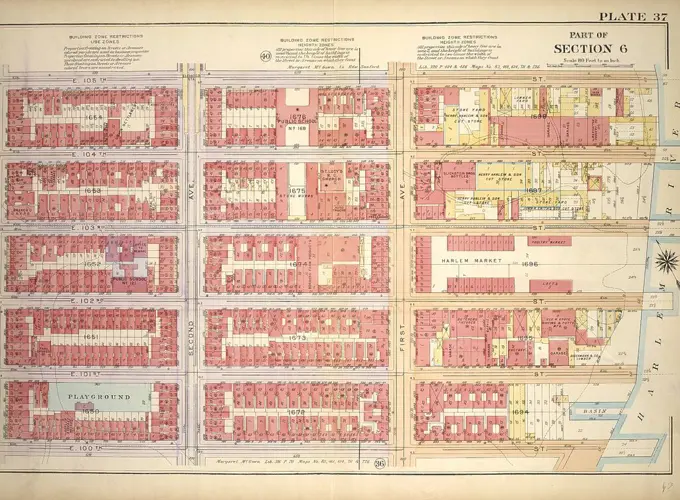
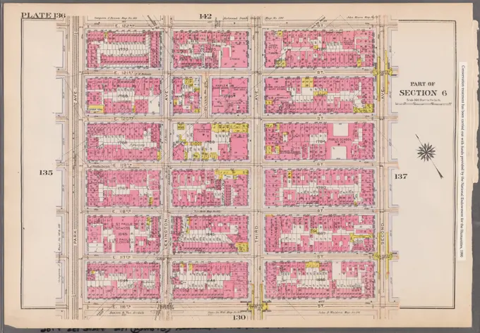
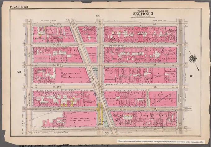
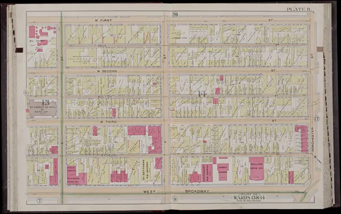
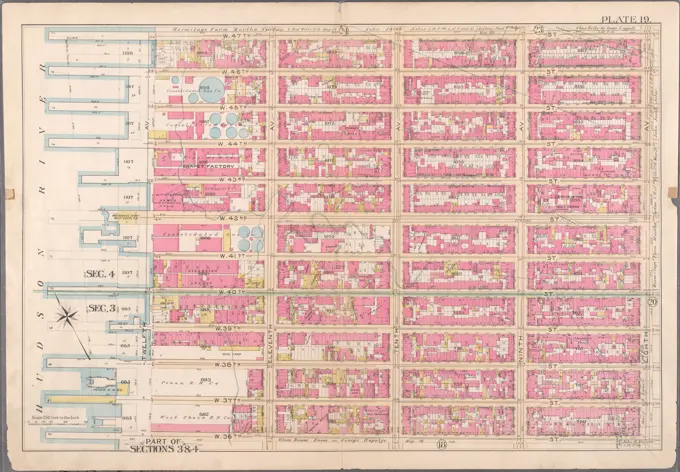
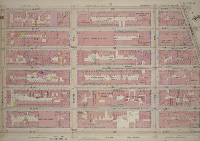
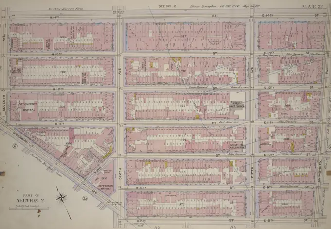
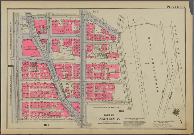
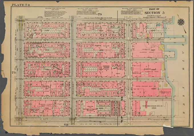
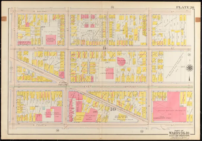
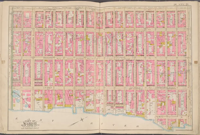
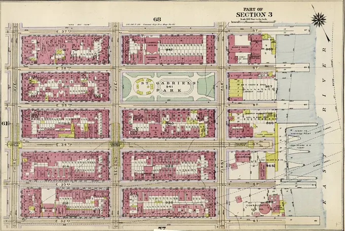
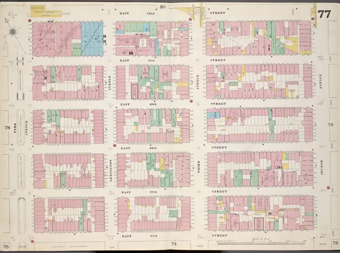
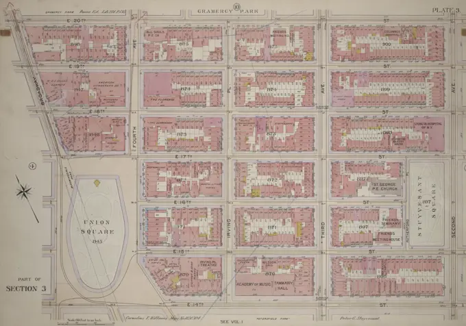
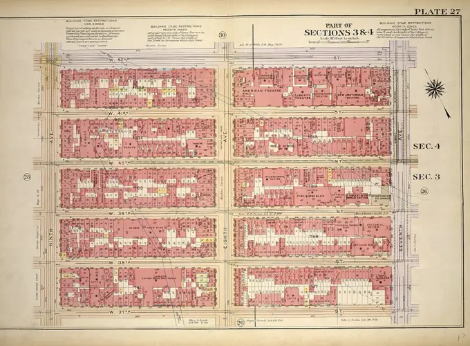
Historical City Maps
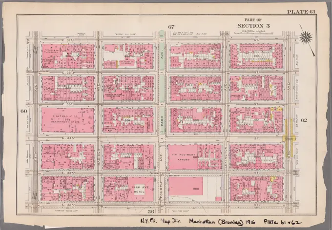
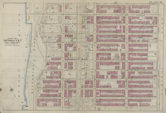
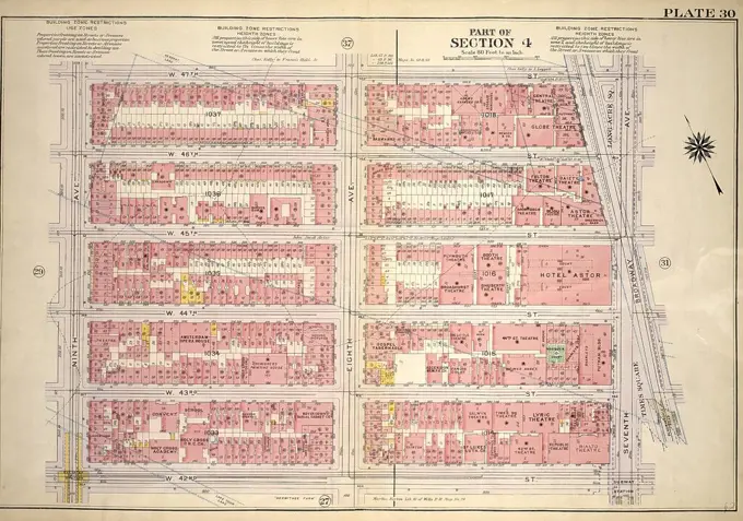
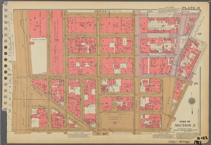
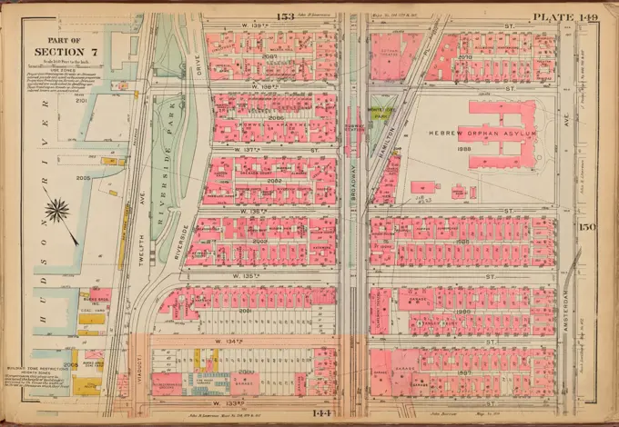
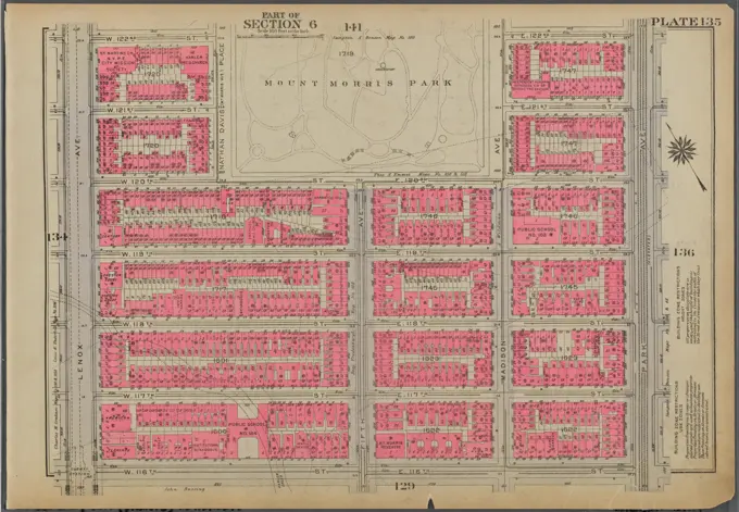
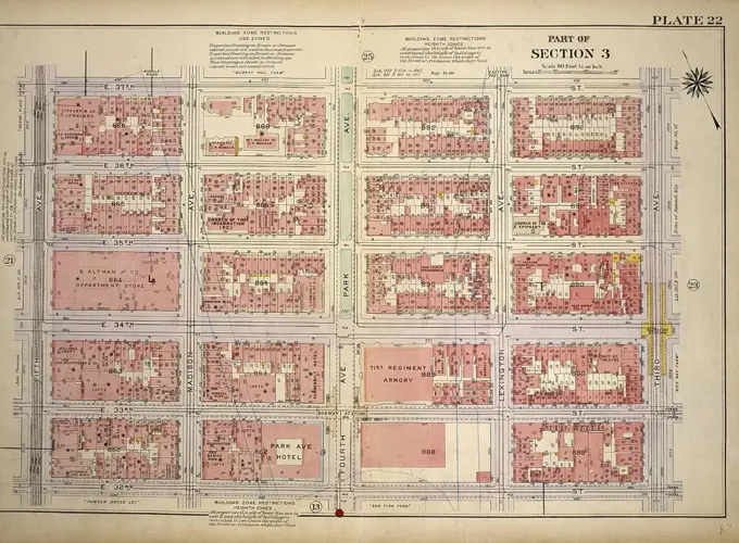
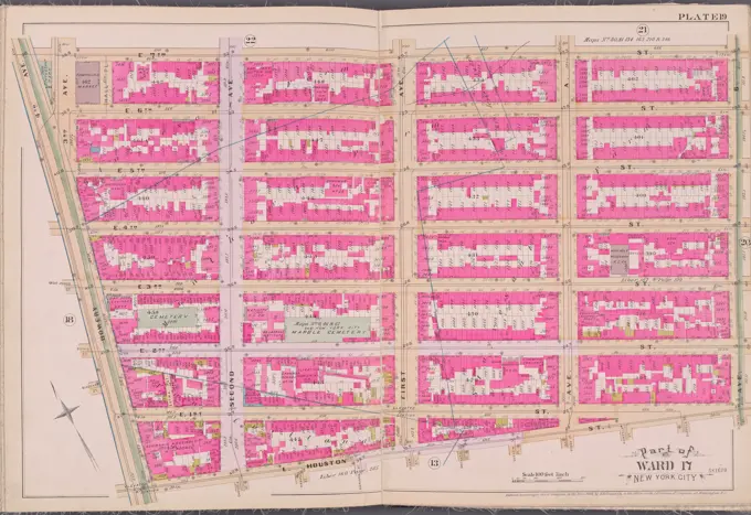
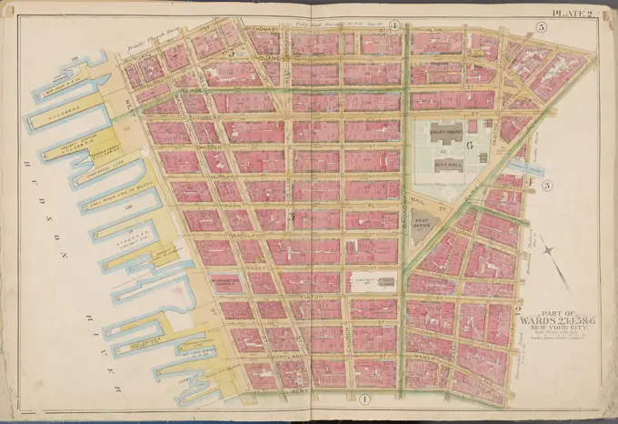
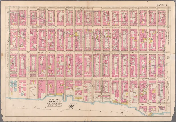
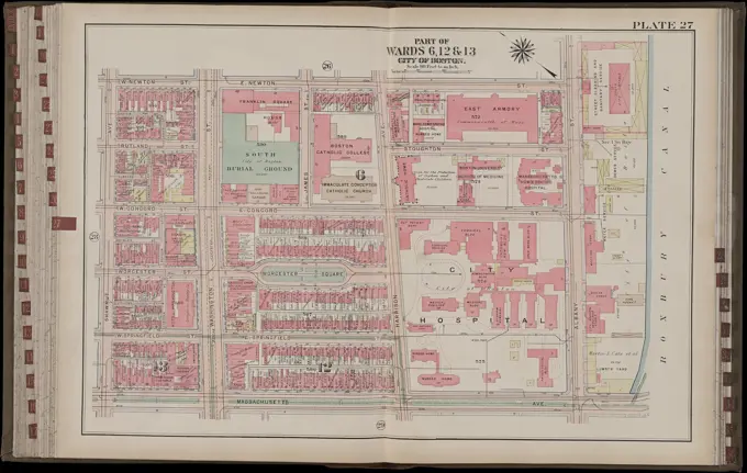
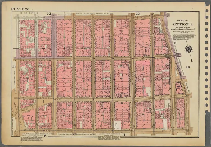
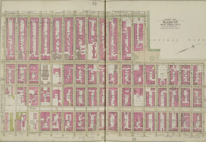
Colorful, detailed maps of urban sections in New York and Boston, illustrating property layouts and city planning from the early 20th century.
Colorful, detailed maps of urban sections in New York and Boston, illustrating property layouts and city planning from the early 20th century.