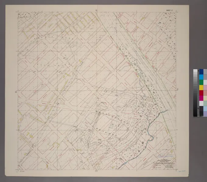
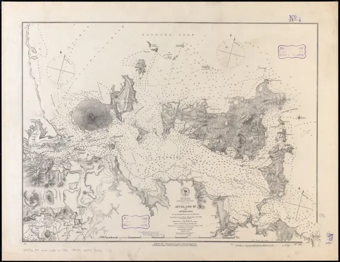
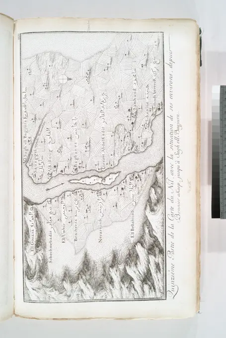
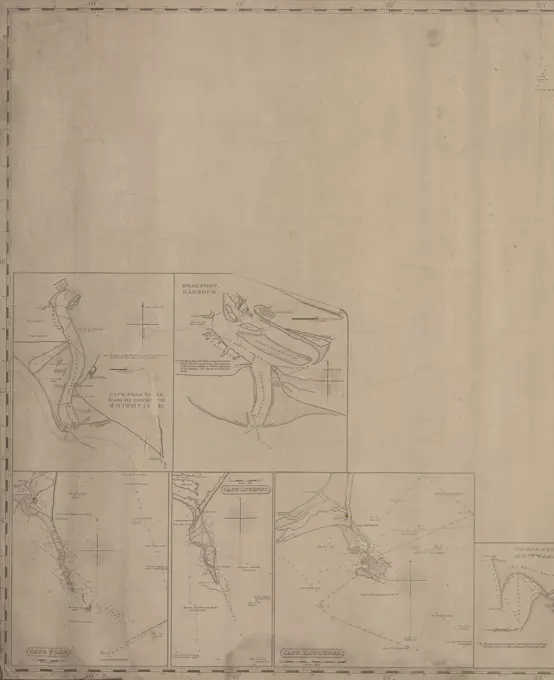
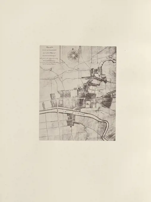
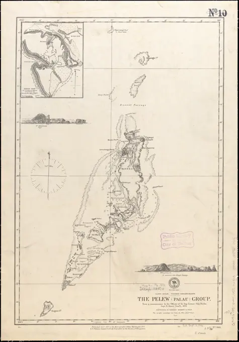
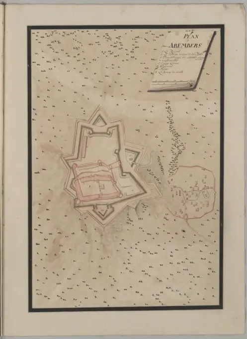
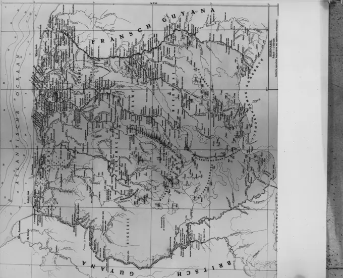
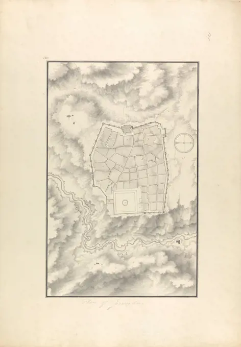
Historical City Maps

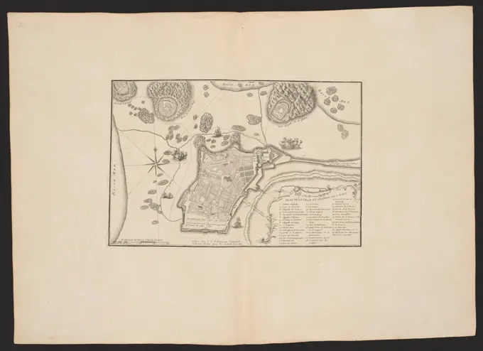
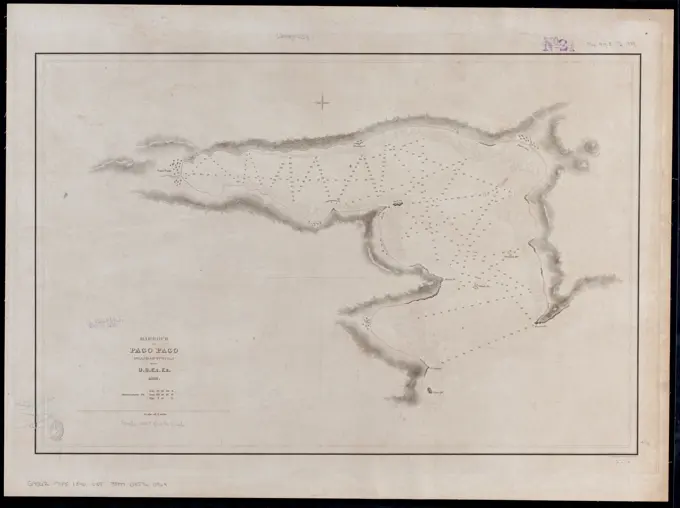
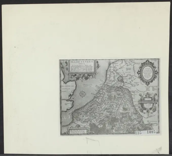
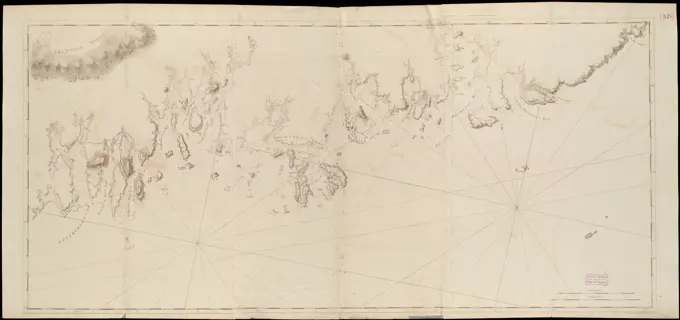
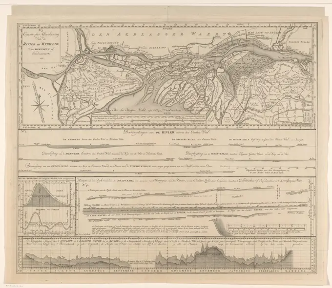
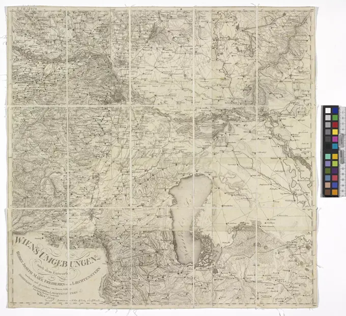
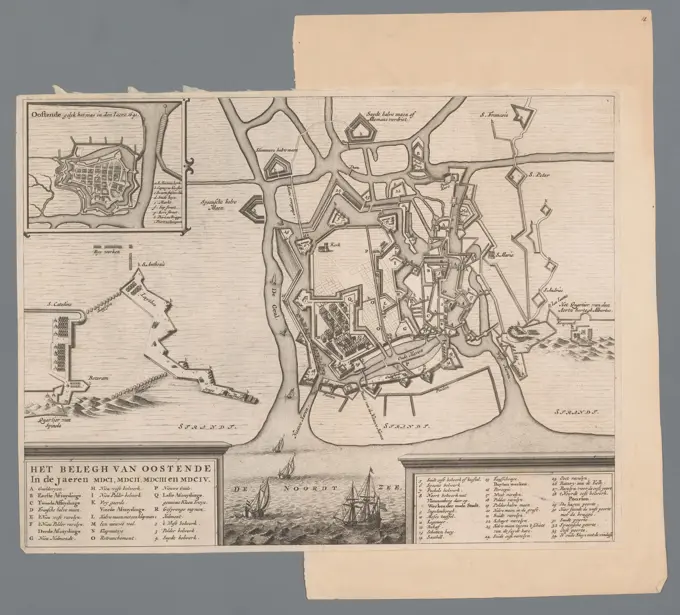
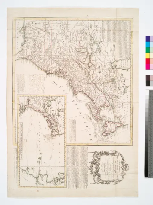
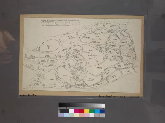
Maps illustrating fortified towns and specified regions from the 1700s, showcasing historical landscapes and strategic designs.

Plan of Trier, 1705, Samuel Du Ry de Champdoré, 1705, Plan of the fortifications around the city of Trier, with the other fortified towns on the Mosel River between Konz and Ruwer, 1705. Part of a collection of drawn plans of fortified towns in the Netherlands and surrounding countries at the time of the War of the Spanish Succession (part B)., draughtsman: Samuel Du Ry de Champdoré, Netherlands, 1705, paper, h 415 mm × w 1170 mm