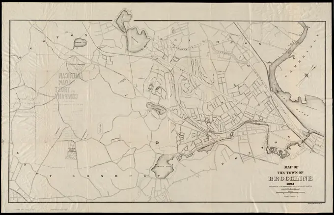
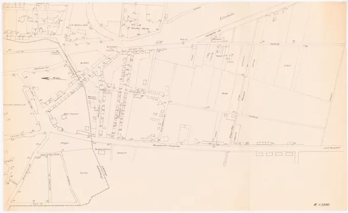
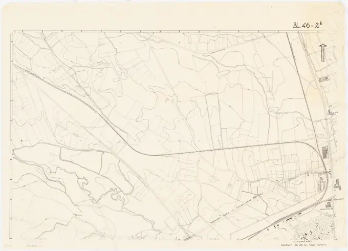
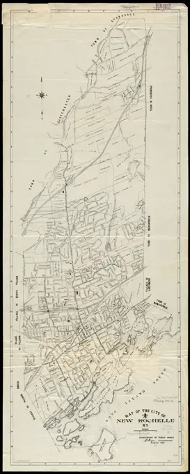
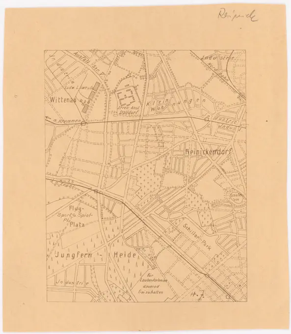
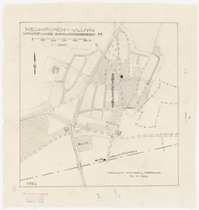
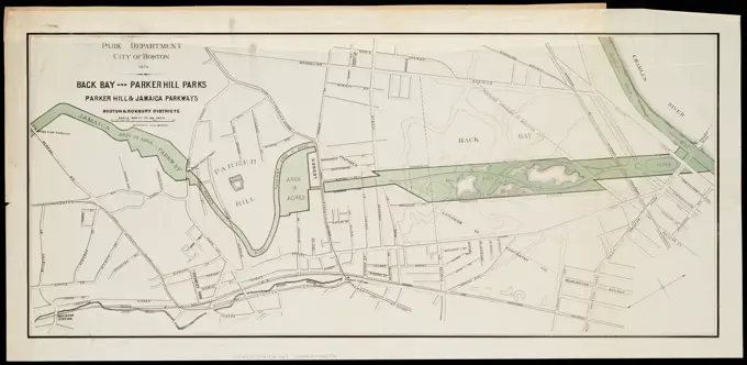
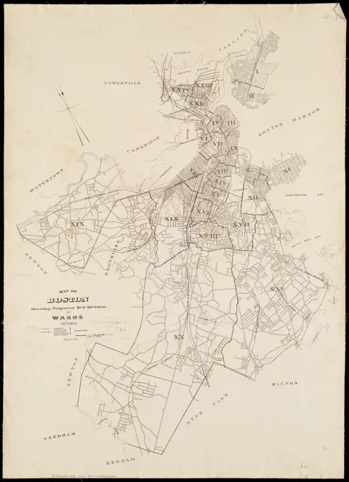
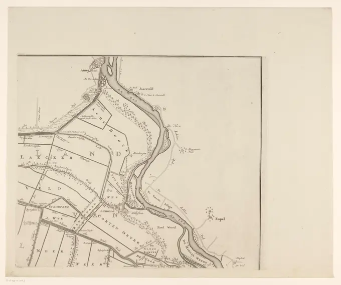
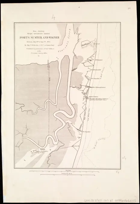
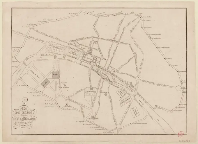
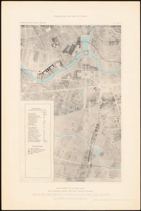
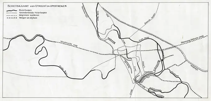
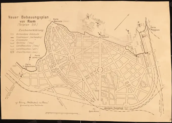
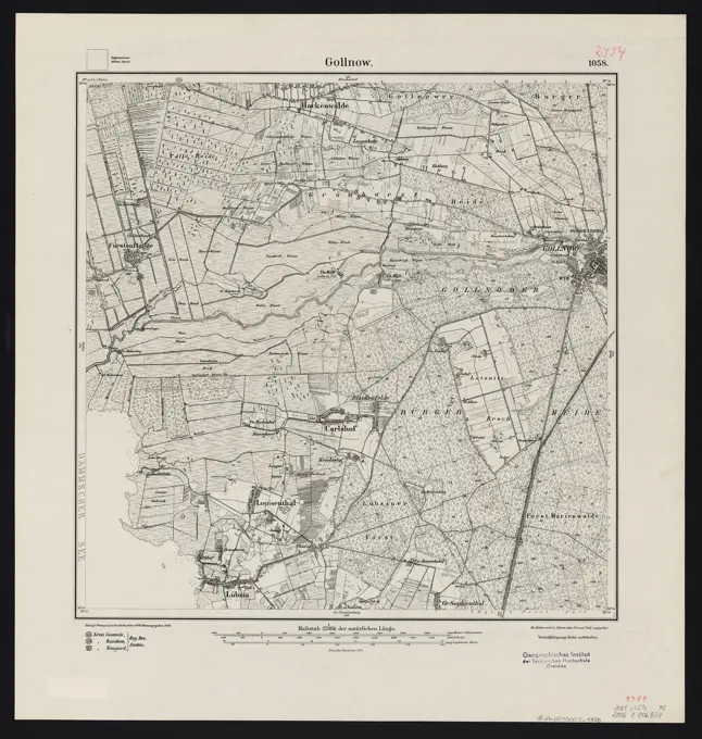
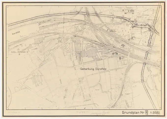
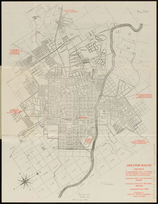
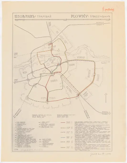
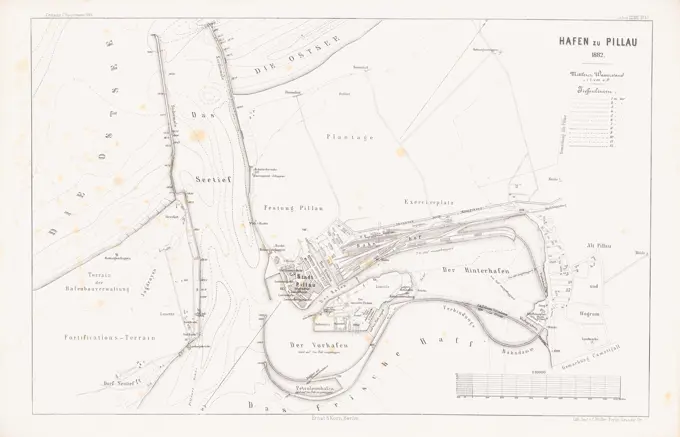
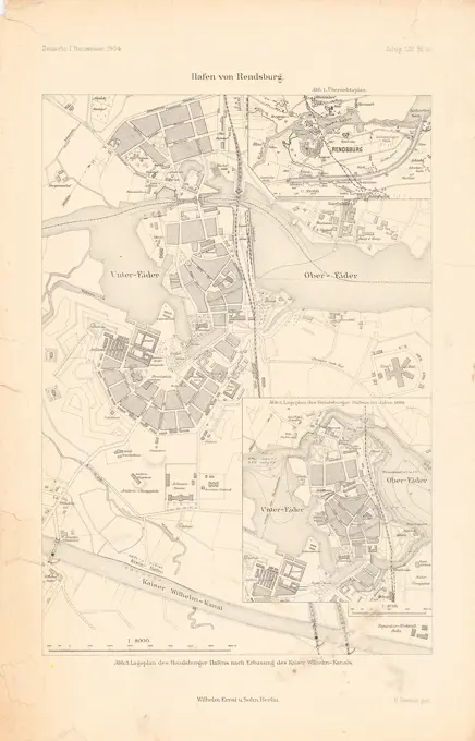
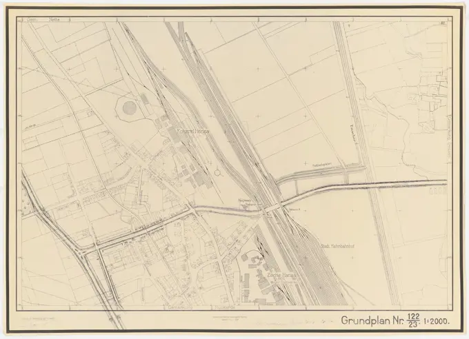
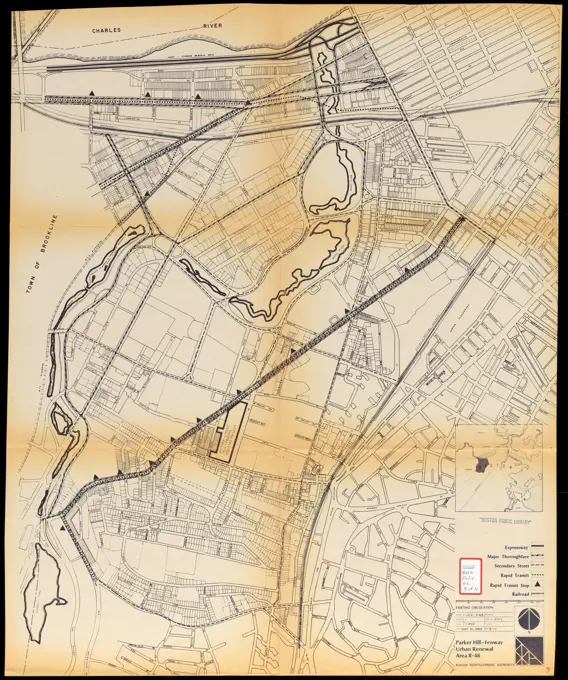
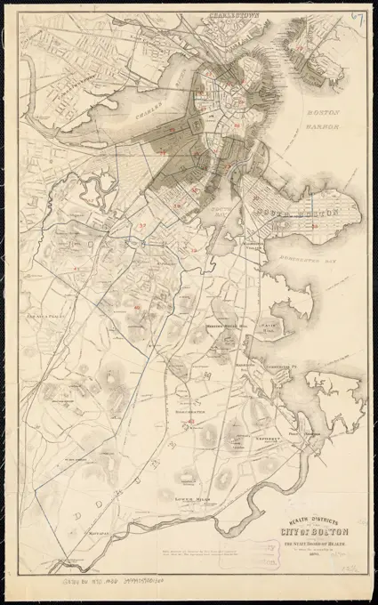
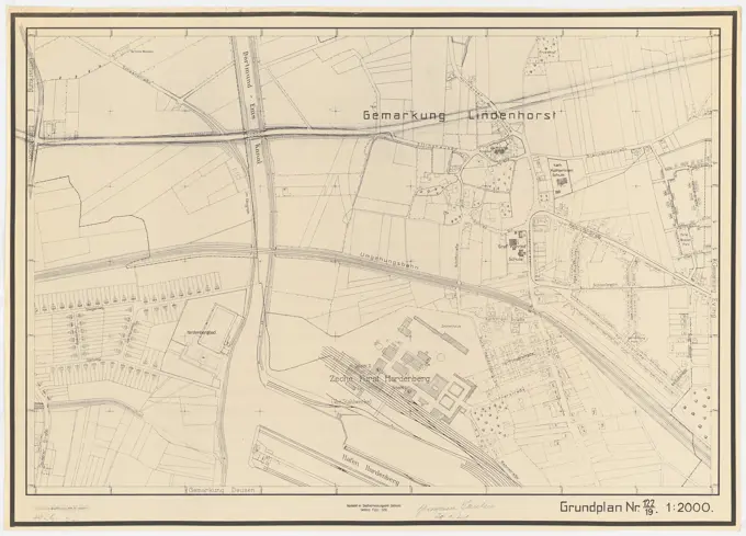
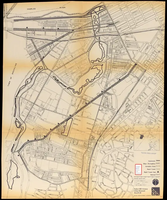
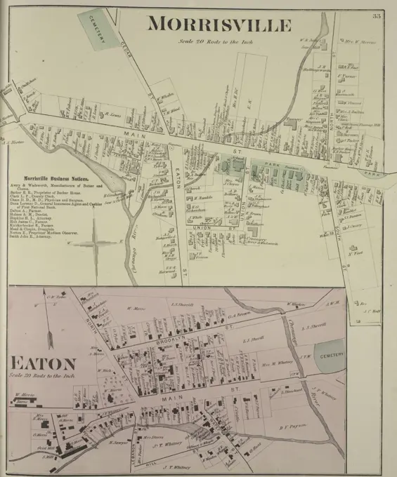
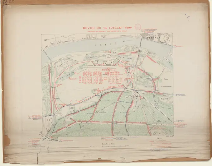
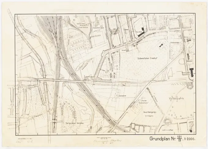
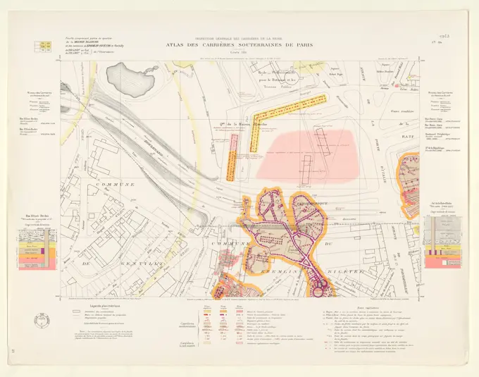
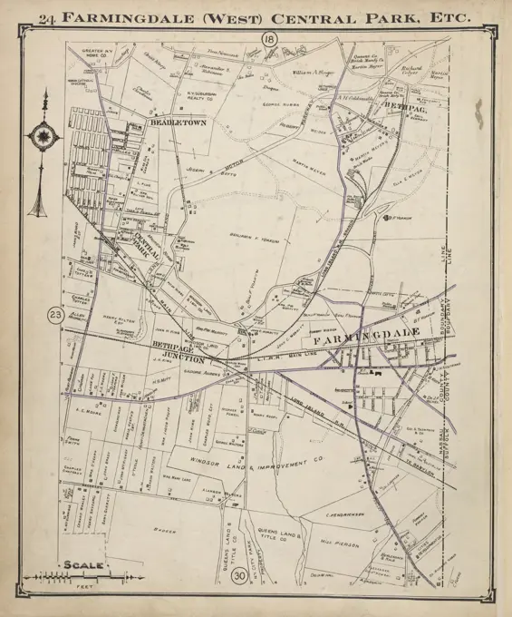
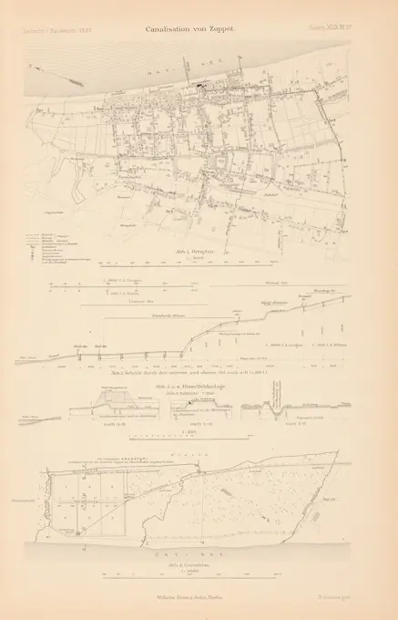
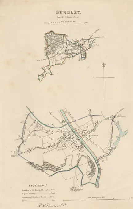
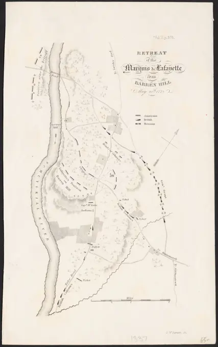
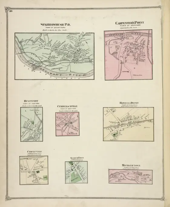
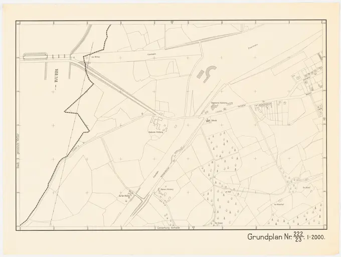
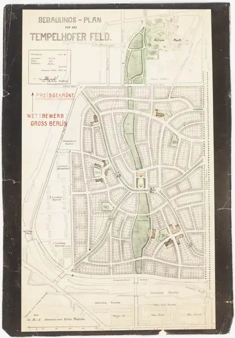
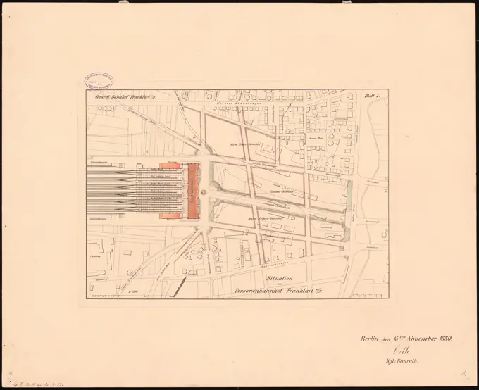
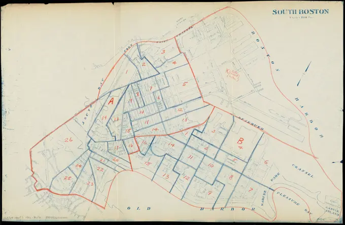
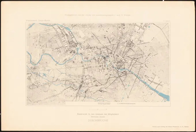
Historical City Maps
Detailed historical maps from the late 19th and early 20th centuries, depicting urban layouts and property divisions in various locations.

Detailed historical maps from the late 19th and early 20th centuries, depicting urban layouts and property divisions in various locations.