Historical City Maps
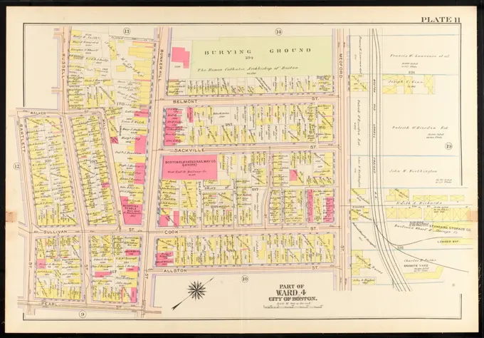
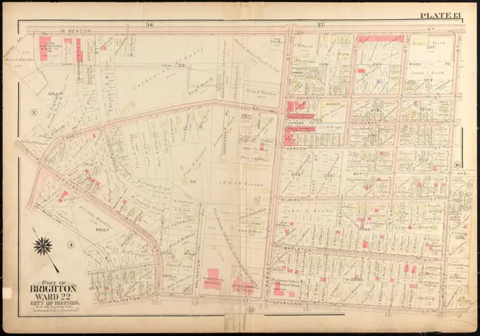
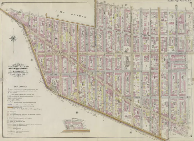
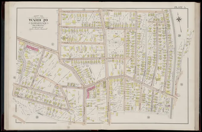
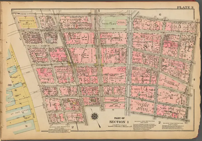
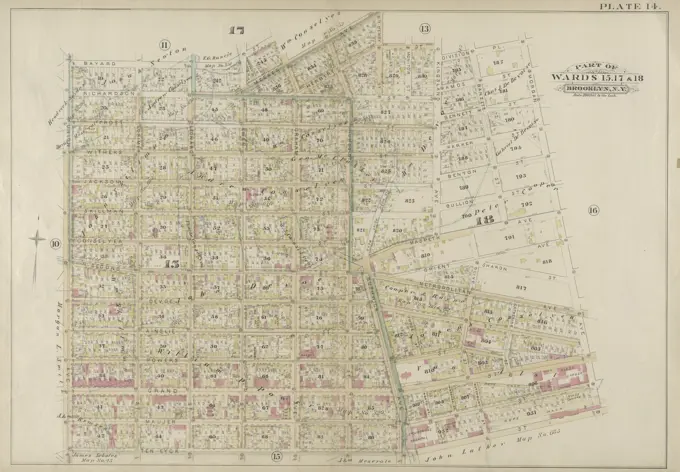
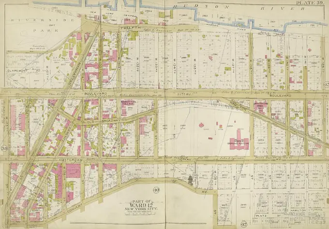
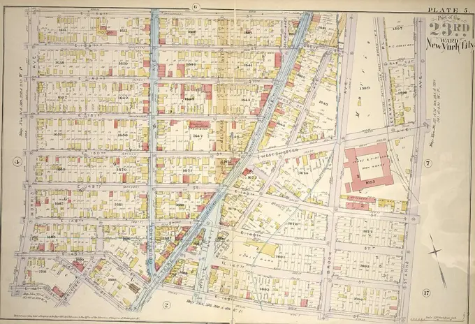
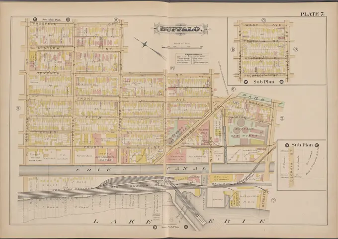
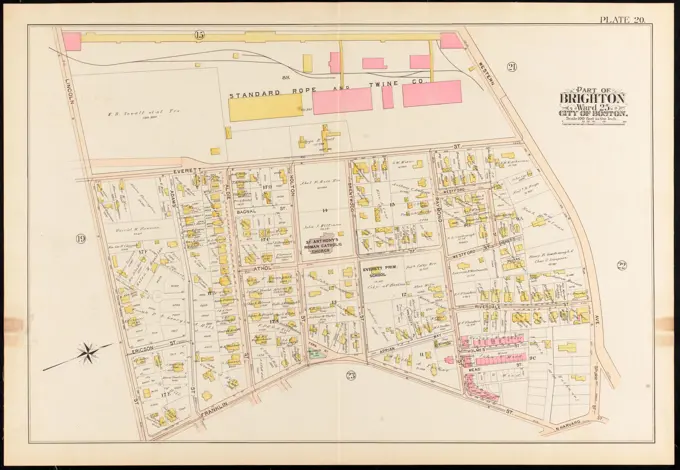
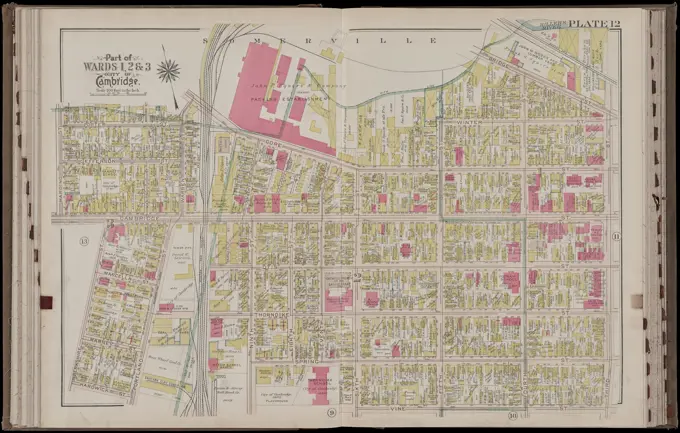
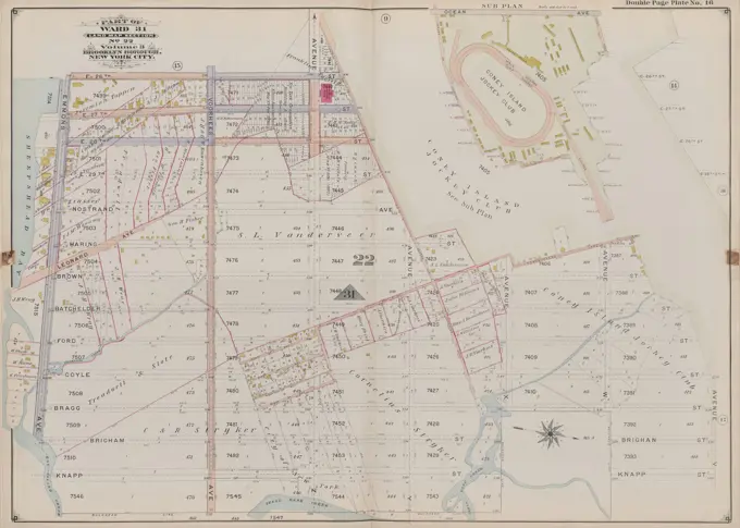
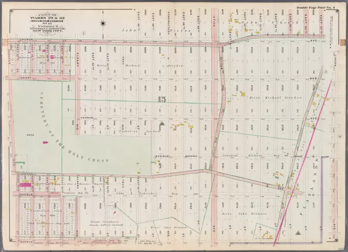
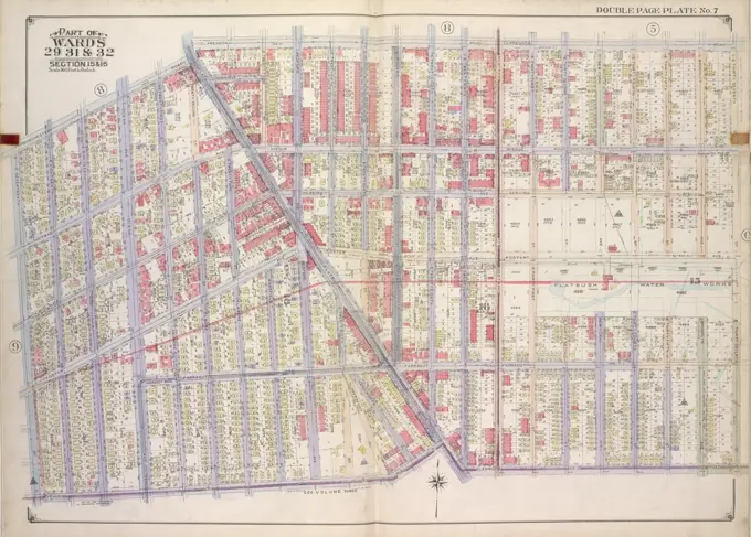
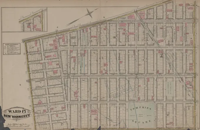
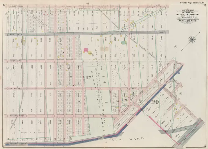
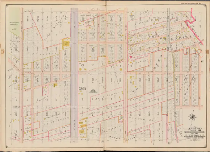
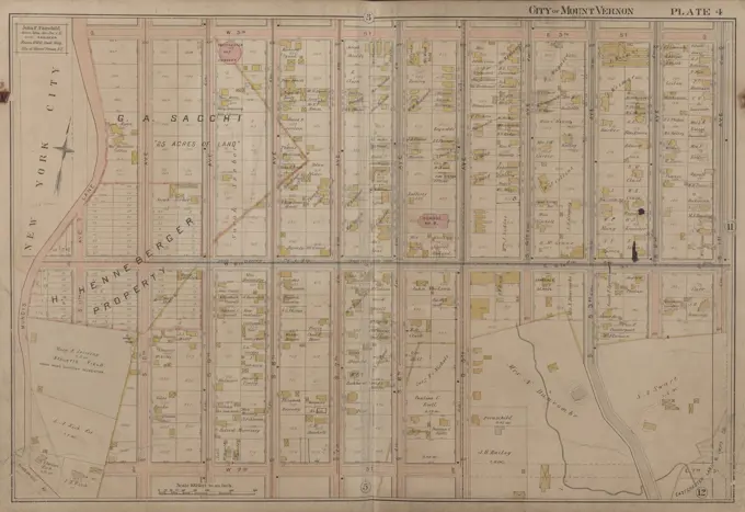
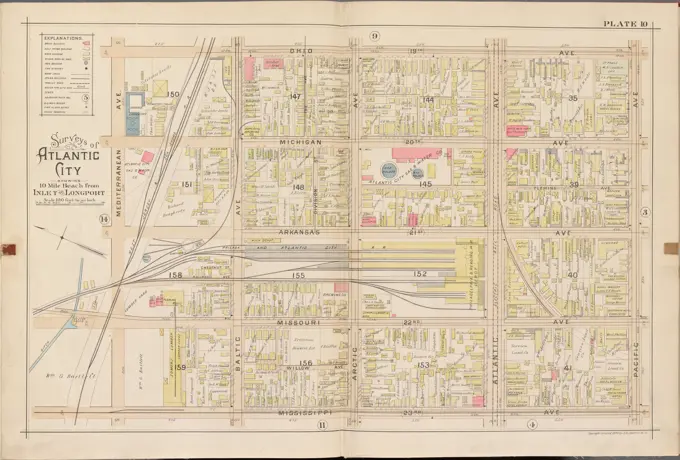
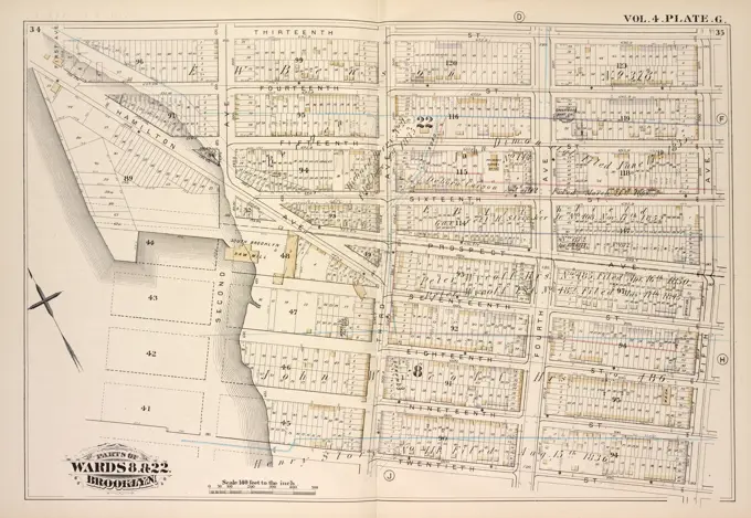
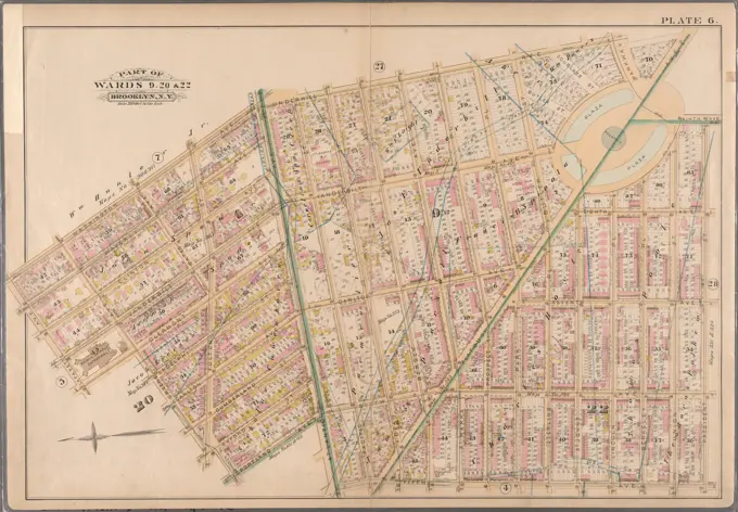
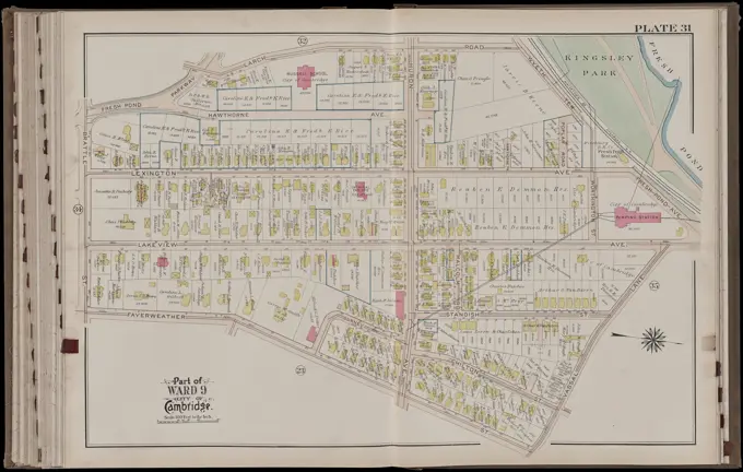
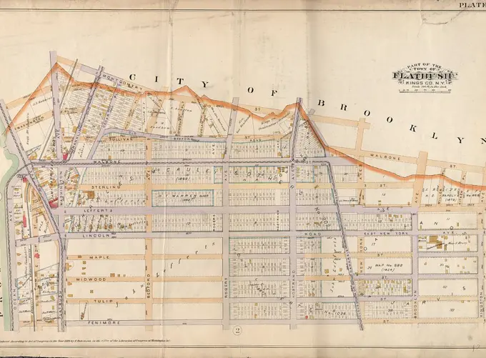
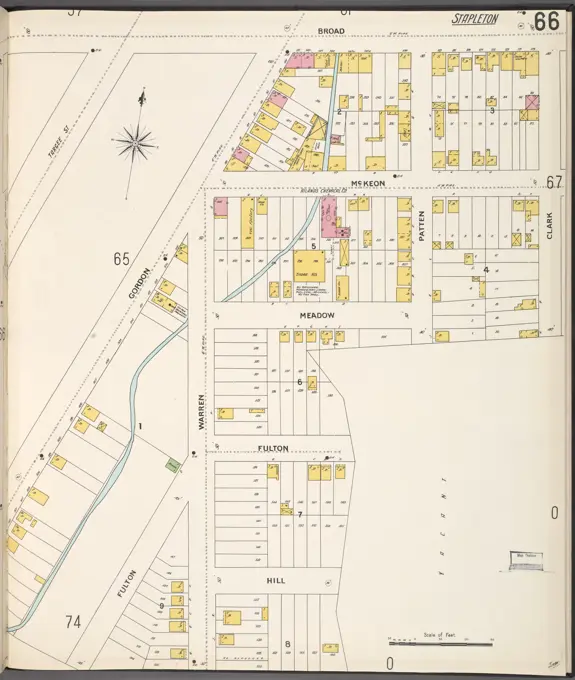
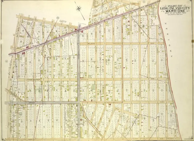
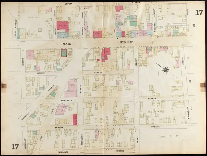
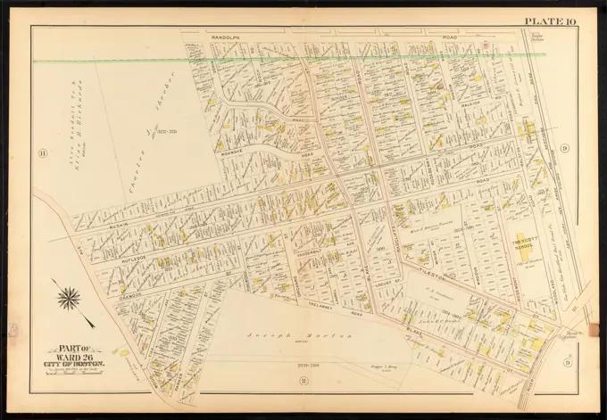
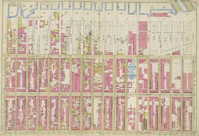
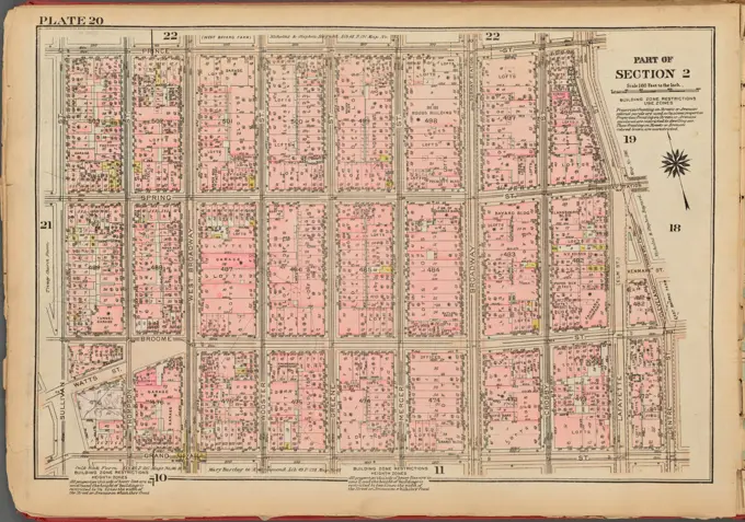
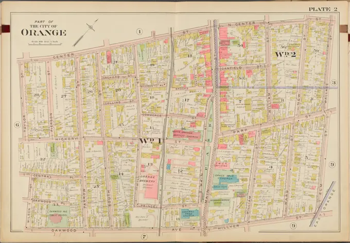
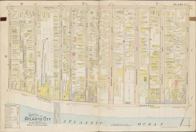
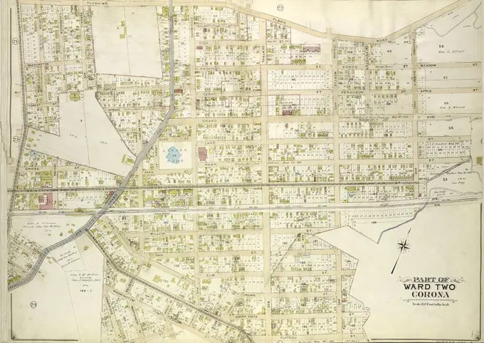
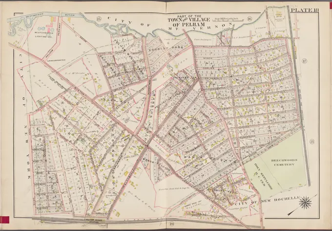
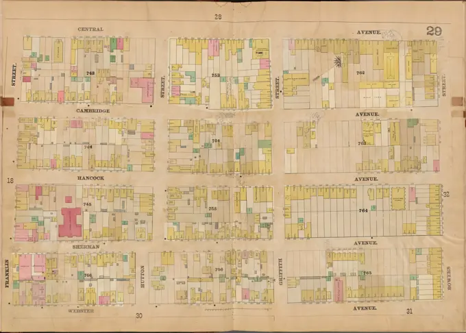
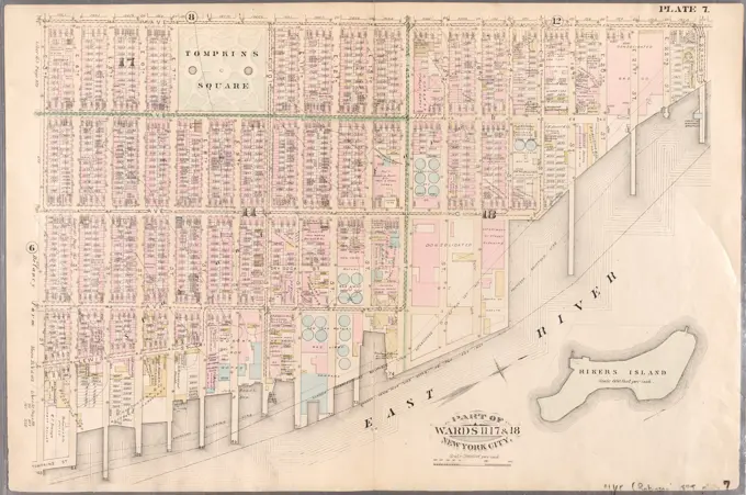
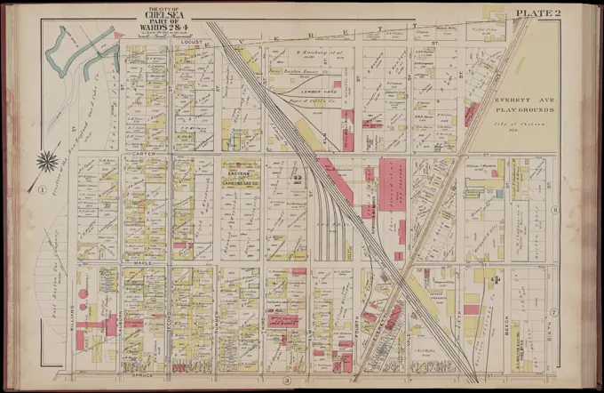
Detailed historical maps of various city wards, showcasing lots, streets, and property boundaries in Brooklyn and Charlestown, highlighting cartographic styles from the 1800s.
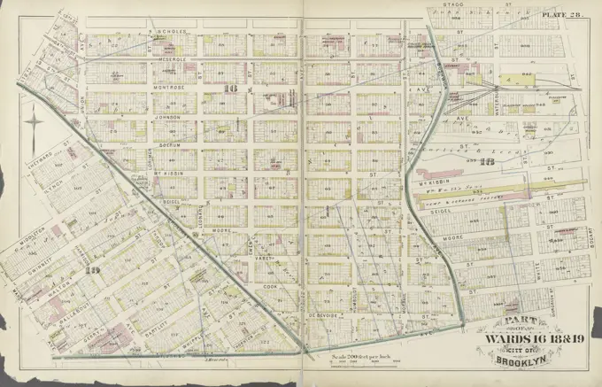
Detailed historical maps of various city wards, showcasing lots, streets, and property boundaries in Brooklyn and Charlestown, highlighting cartographic styles from the 1800s.