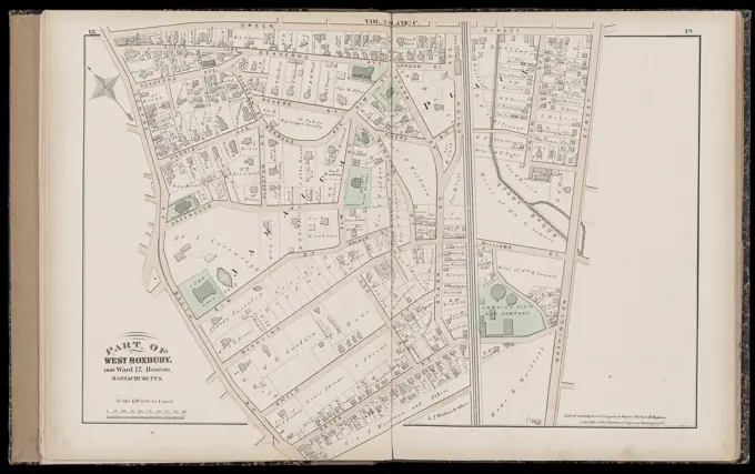
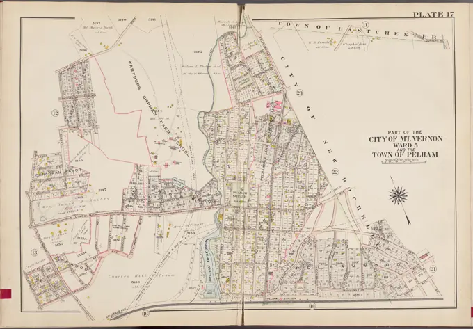
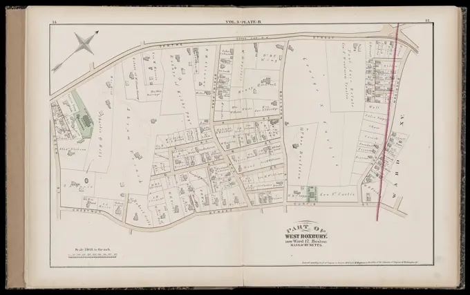
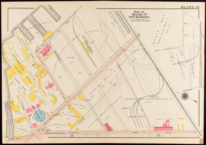
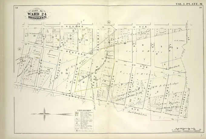
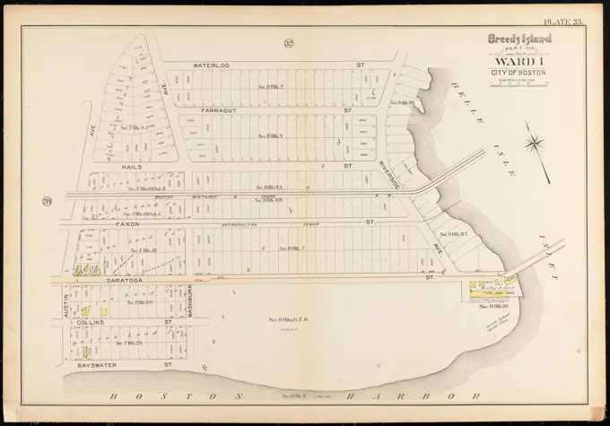
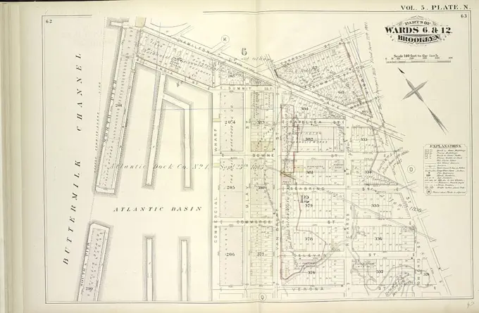
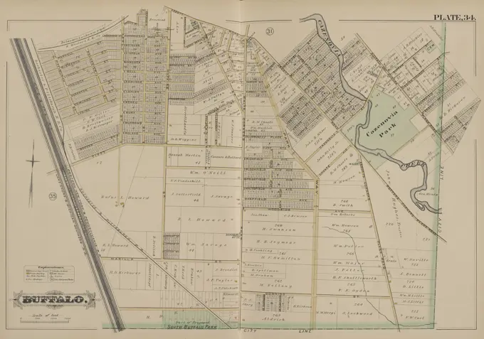
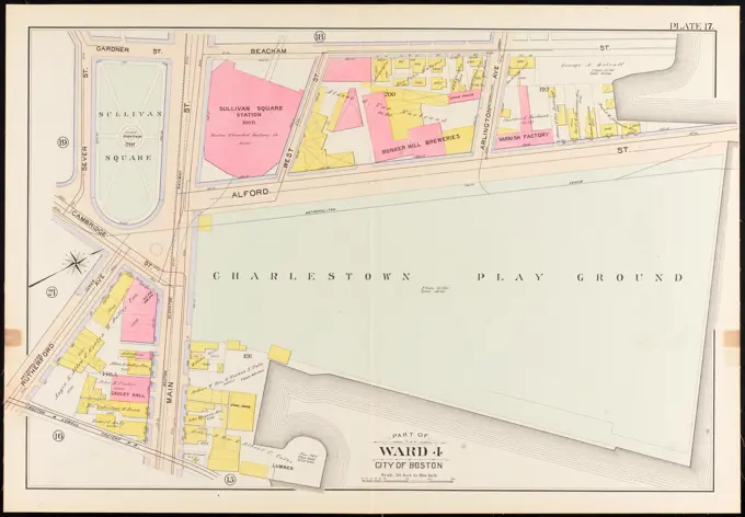
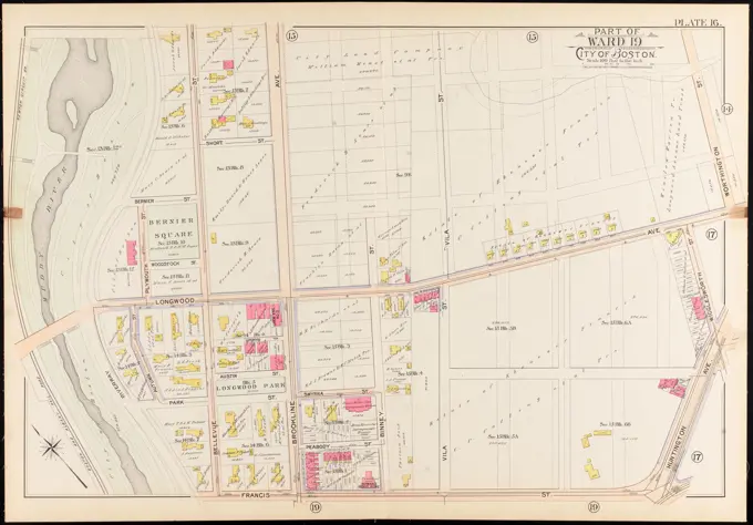
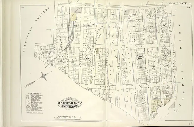
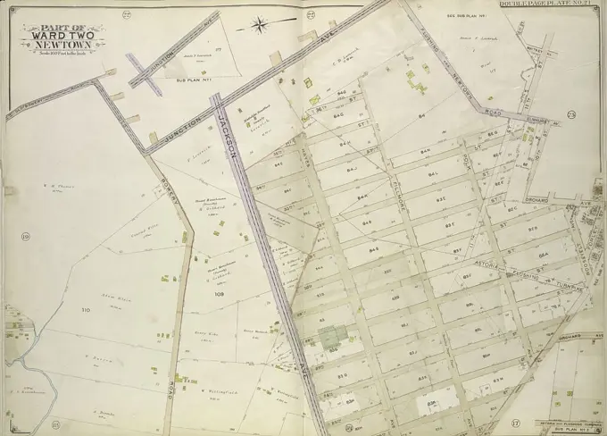
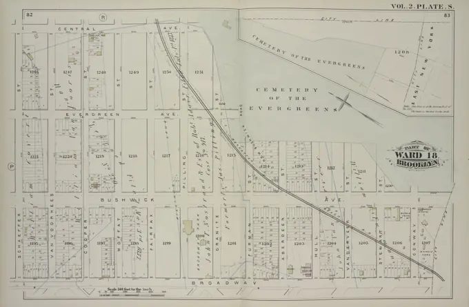
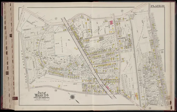
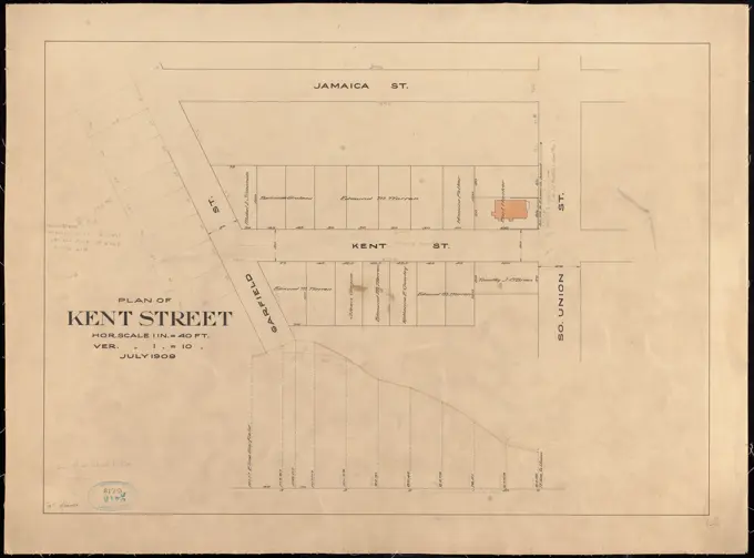
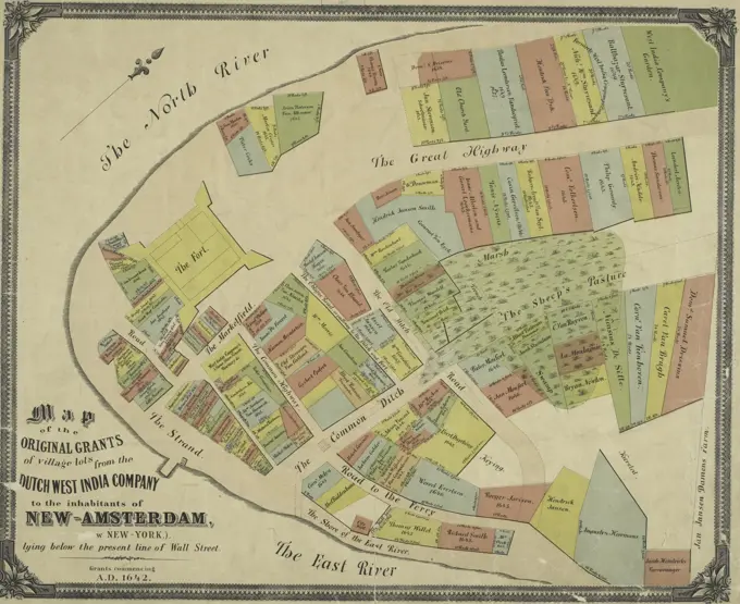
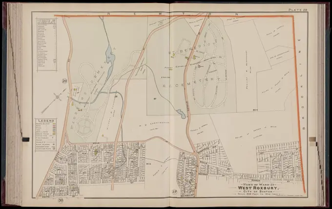
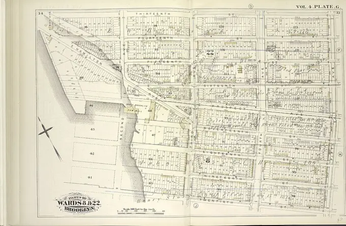
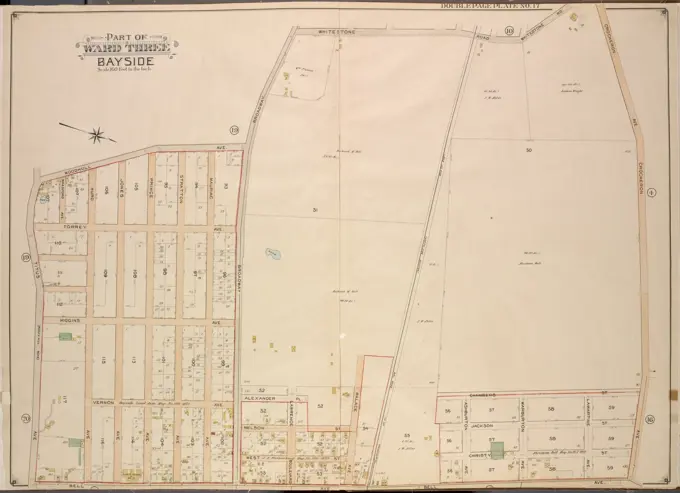
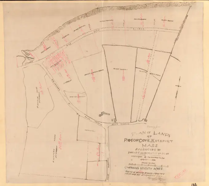
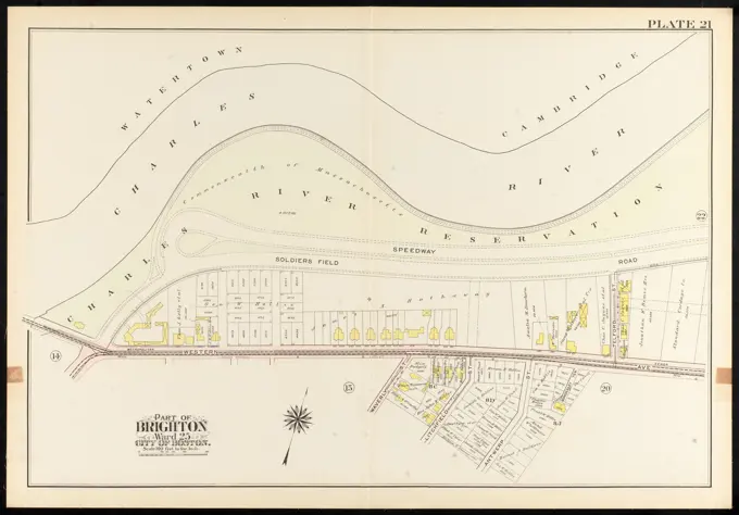
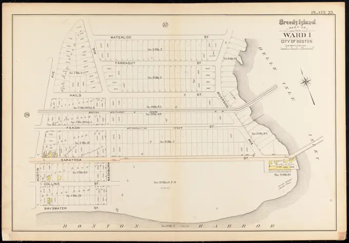
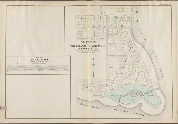
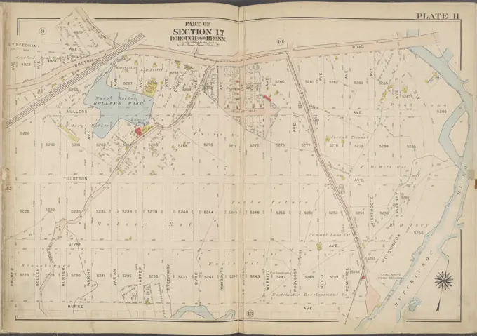
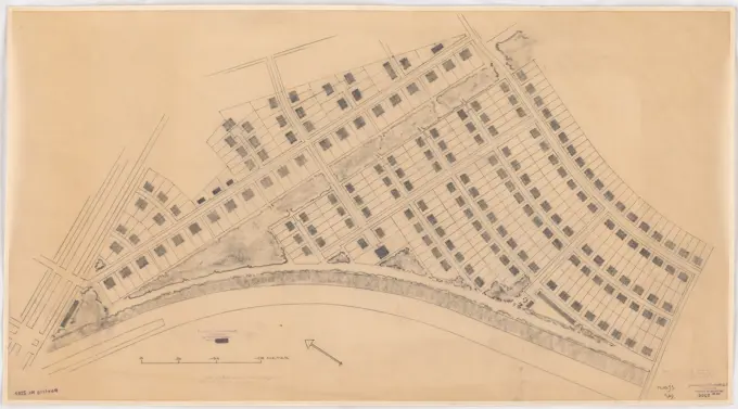
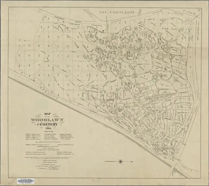
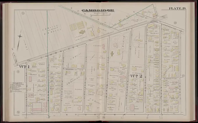
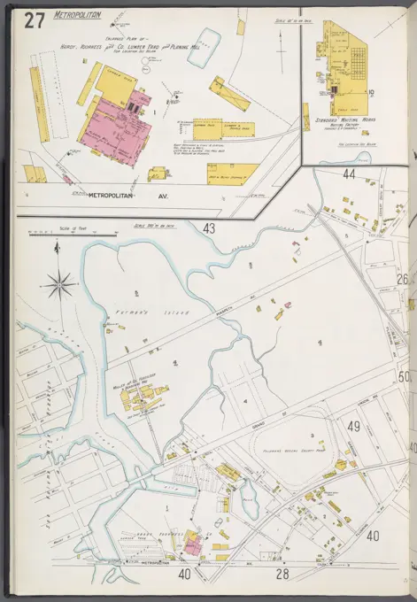
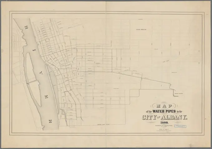
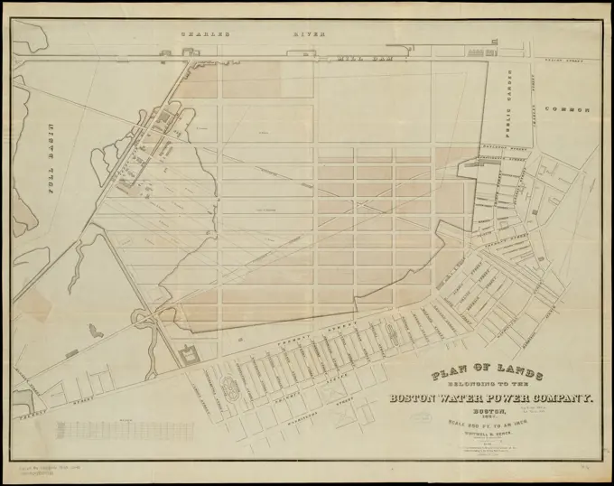
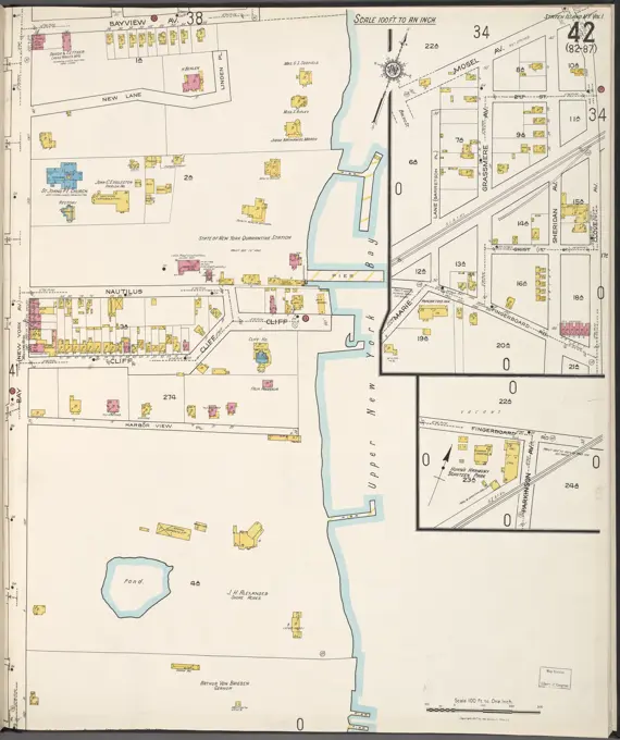
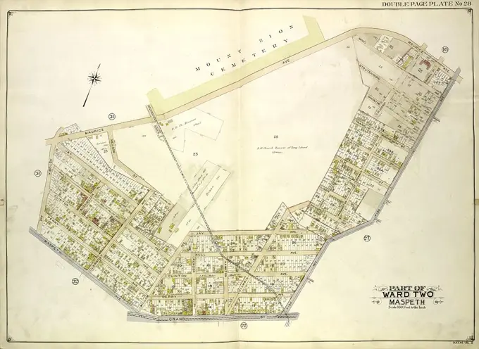
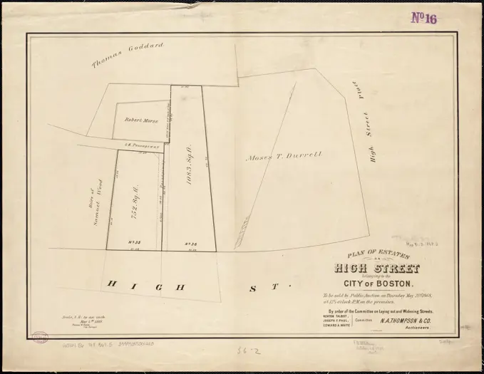
Historical City Maps
Detailed historical maps showcasing urban layouts, property lines, and streets in various neighborhoods, including elements highlighting real estate and landownership.
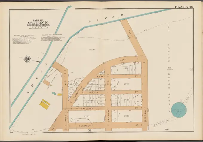
Detailed historical maps showcasing urban layouts, property lines, and streets in various neighborhoods, including elements highlighting real estate and landownership.