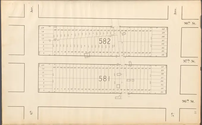
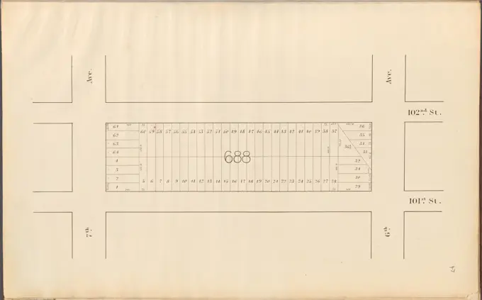
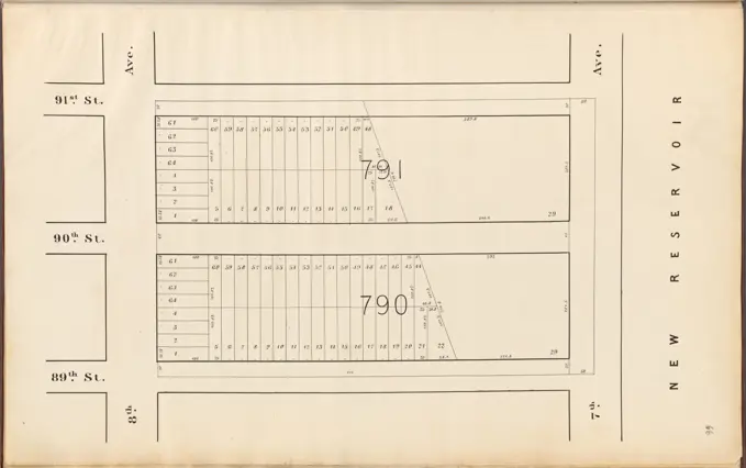
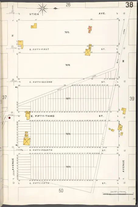
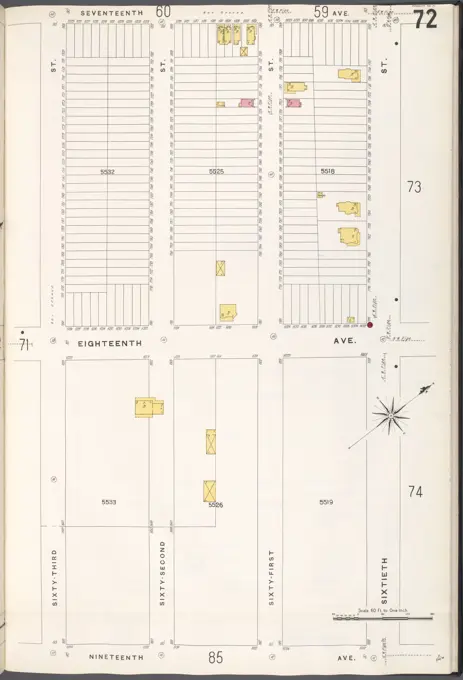
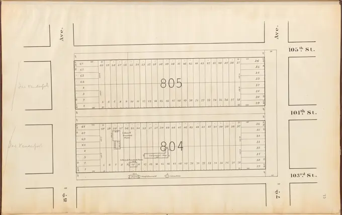
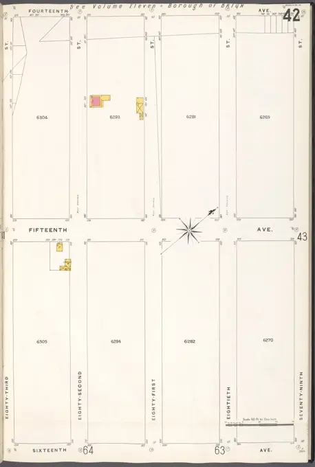
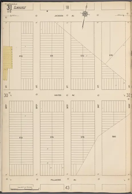
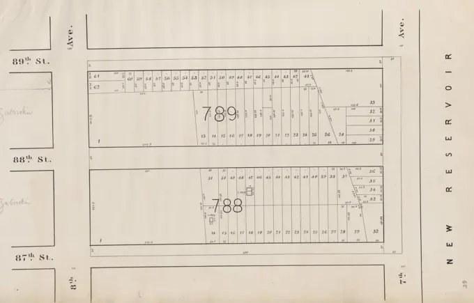
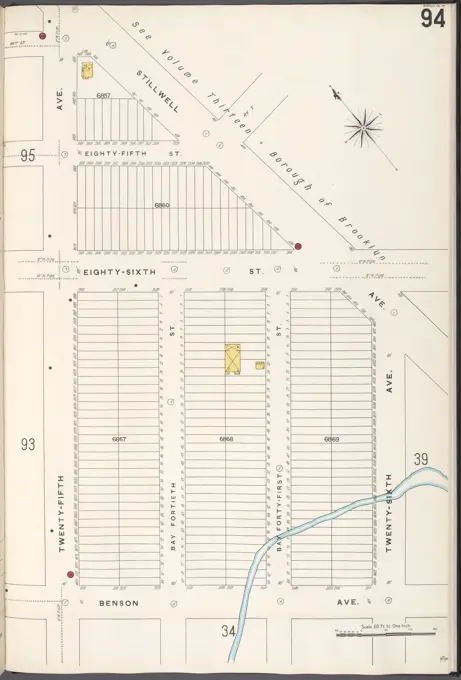
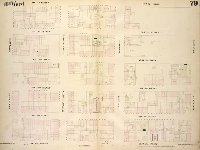
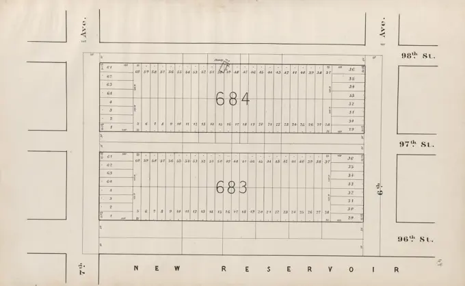
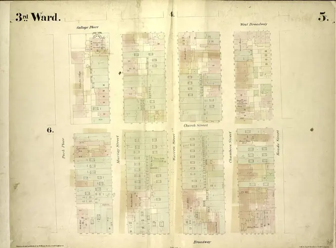
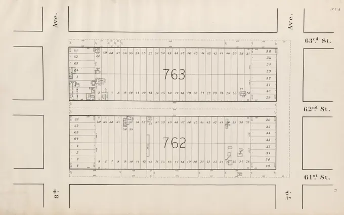
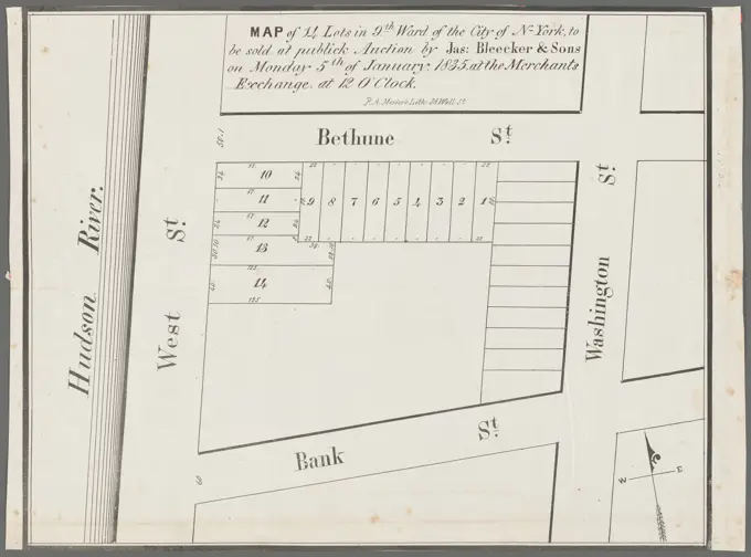
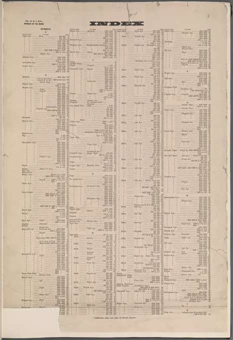
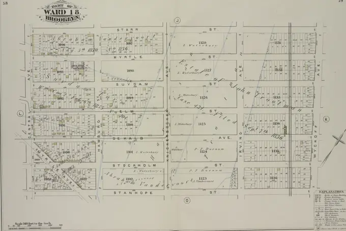
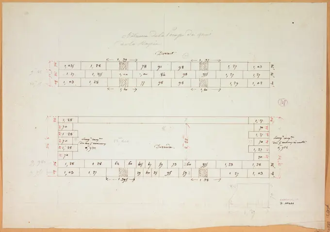
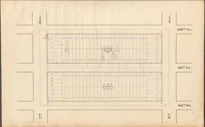
Historical City Planning Maps
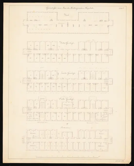
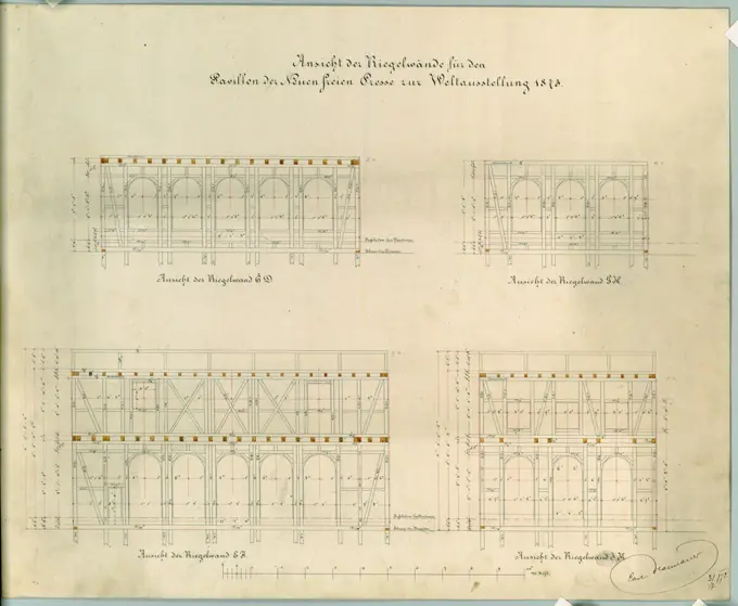
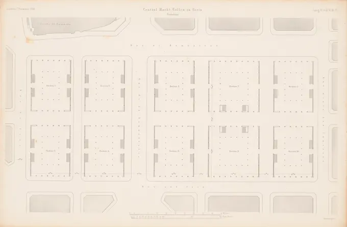
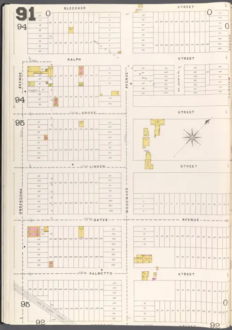
Collection of historic maps depicting city planning and layouts, primarily for Central Park and Brooklyn, featuring street names and property boundaries.

Collection of historic maps depicting city planning and layouts, primarily for Central Park and Brooklyn, featuring street names and property boundaries.