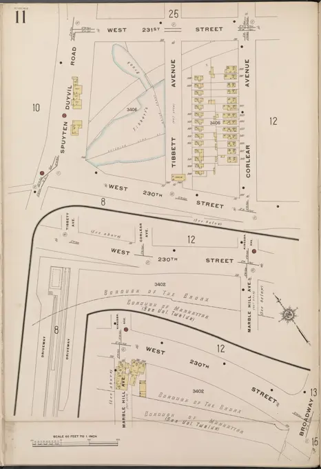
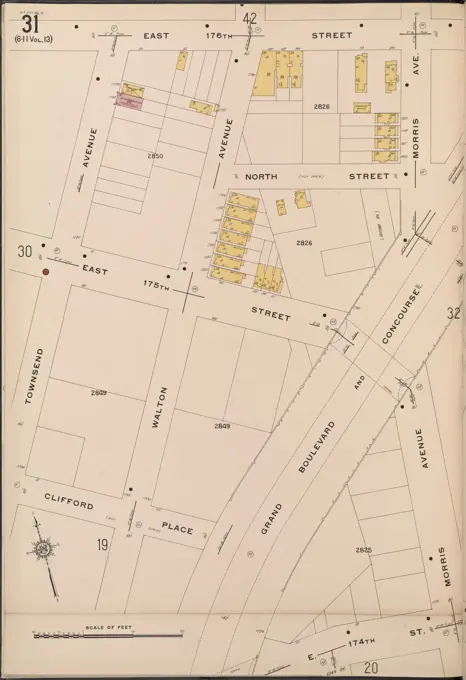
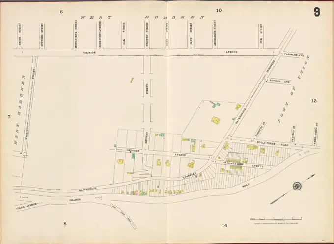
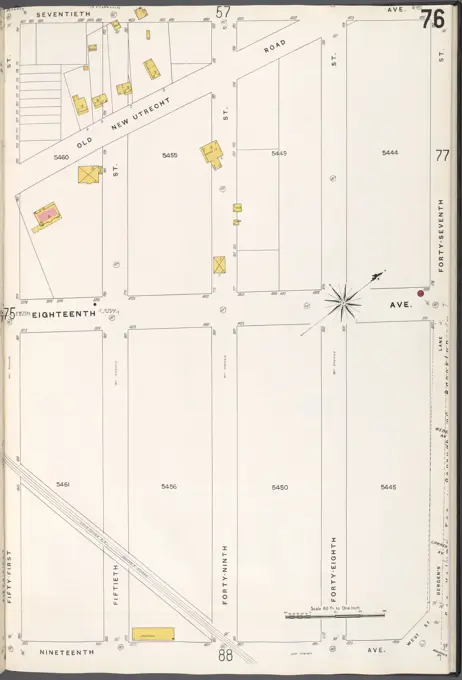
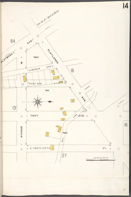
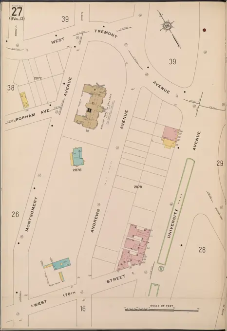
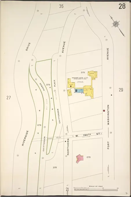
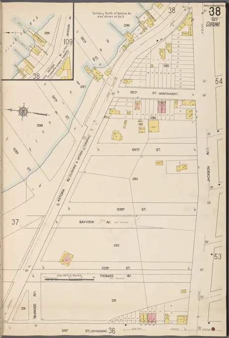
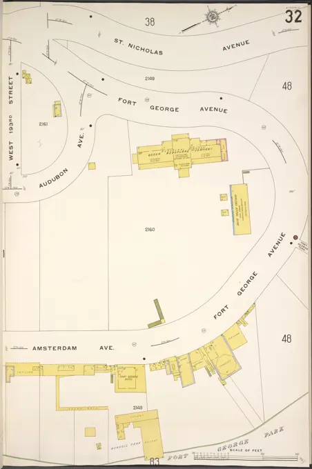
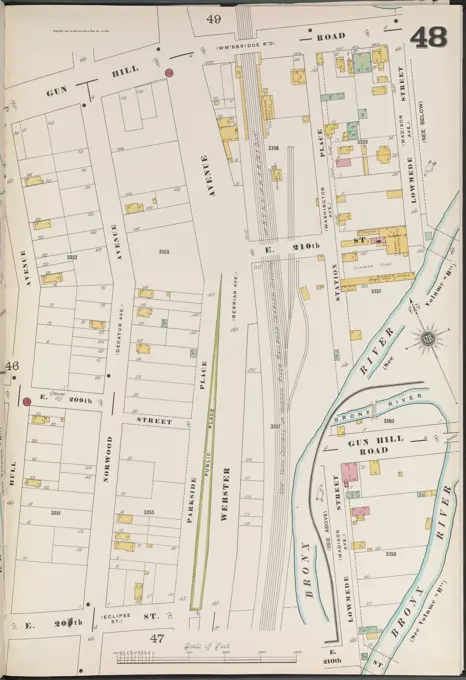
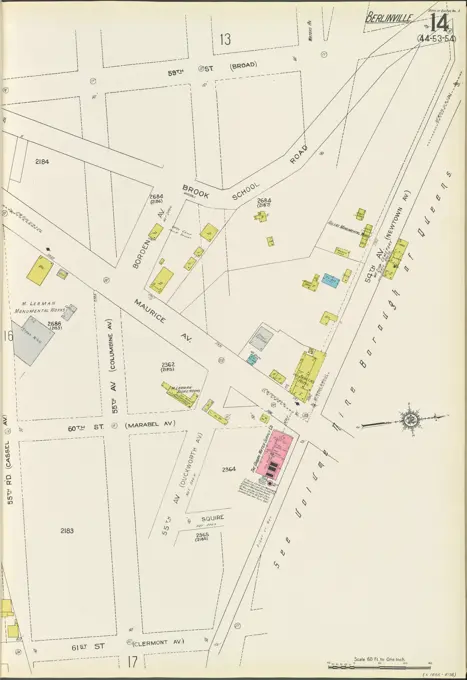
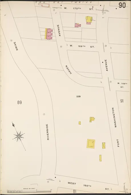
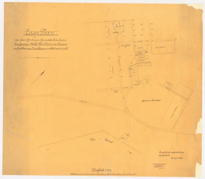
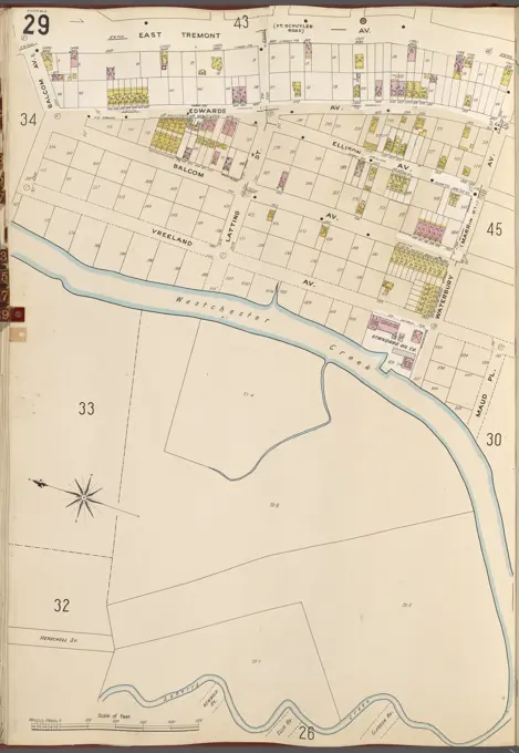
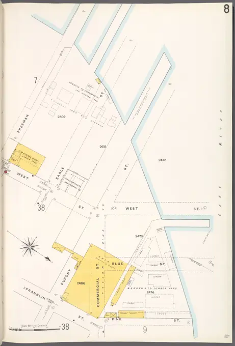
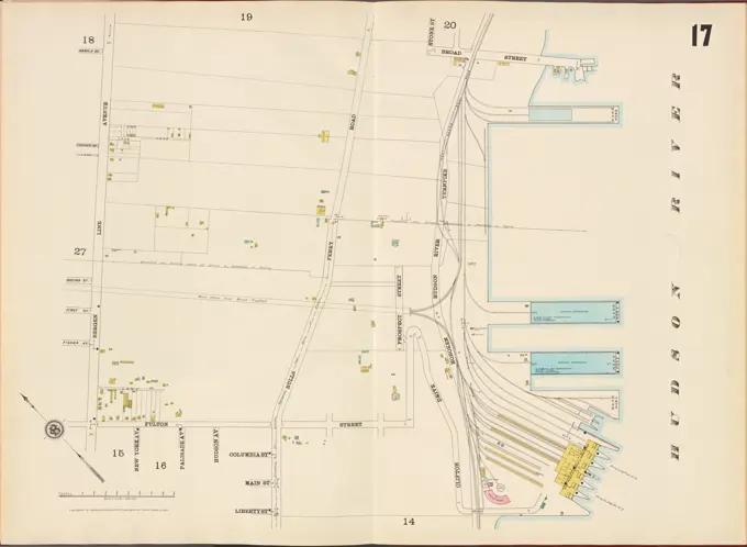
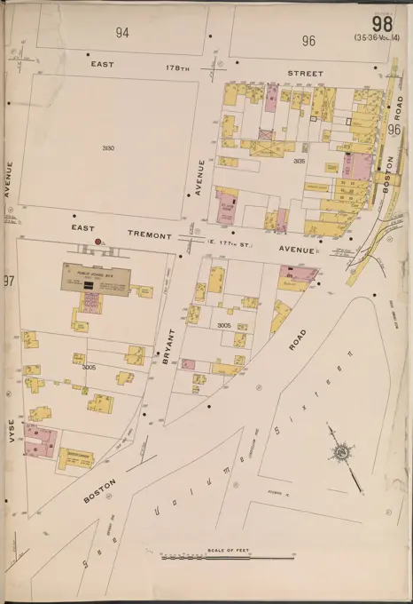
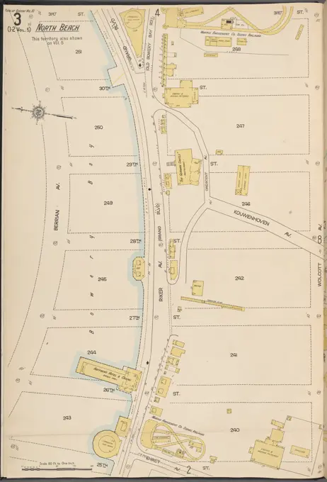
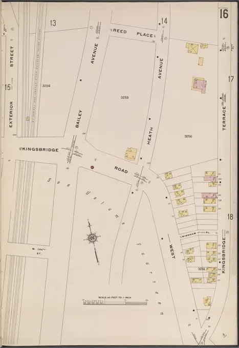
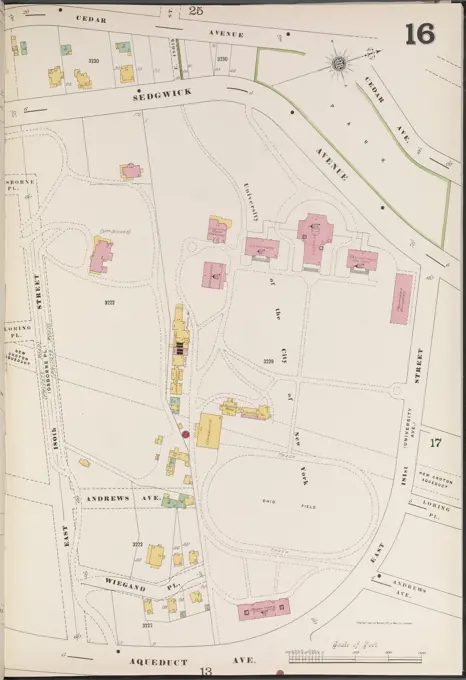
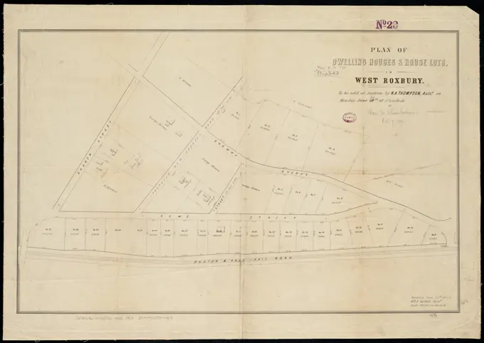
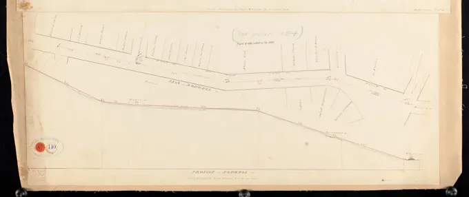
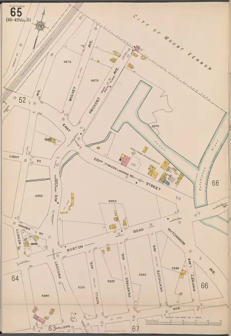
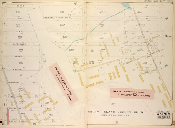
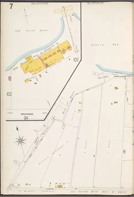
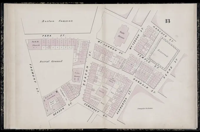
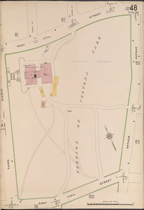
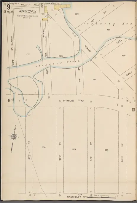
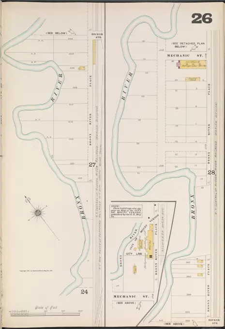
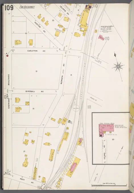
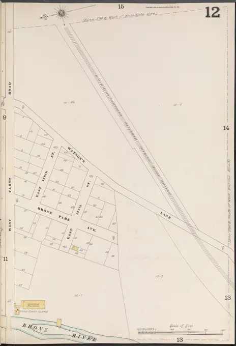
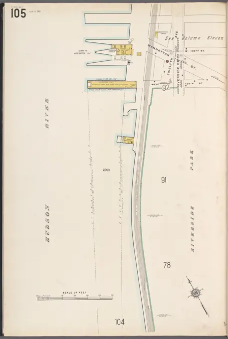
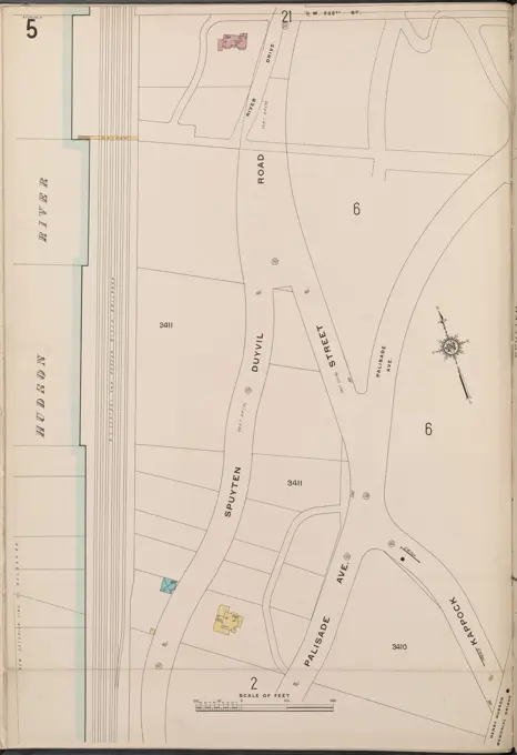
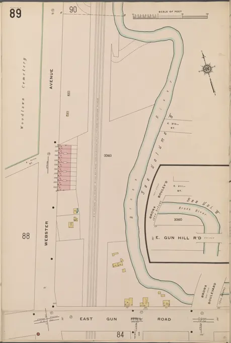
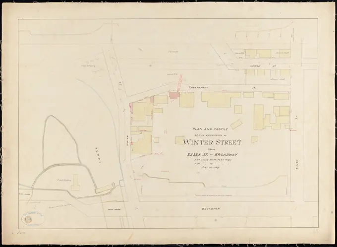
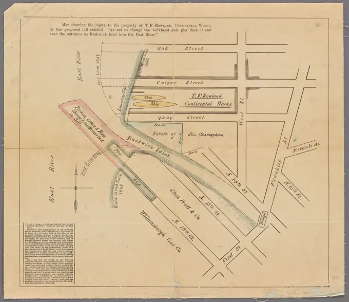
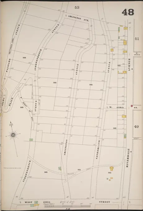
Historical Fire Insurance Maps
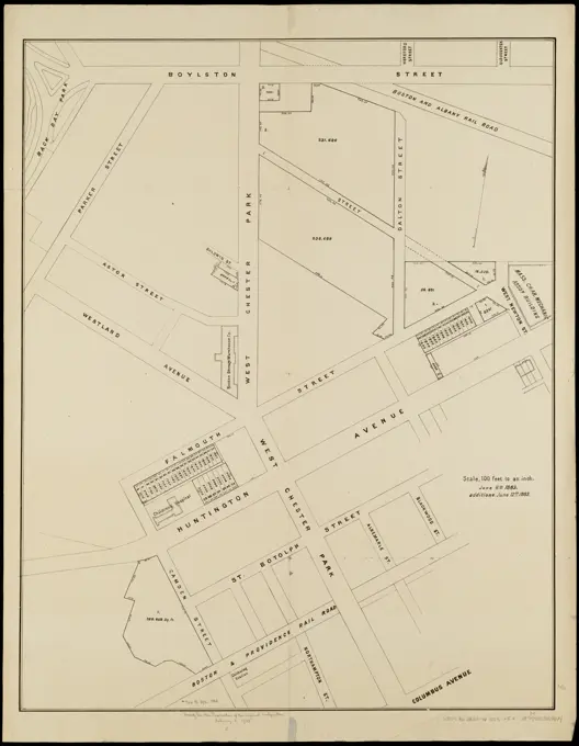
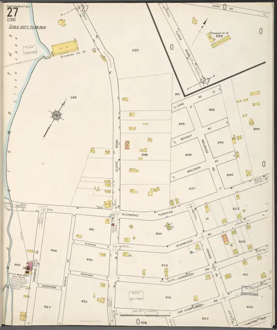
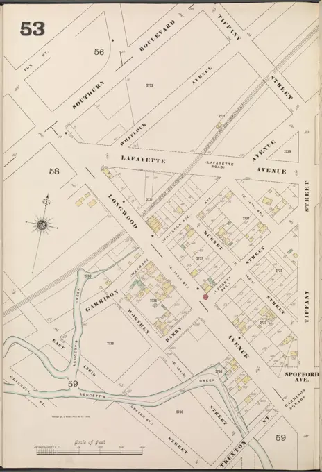
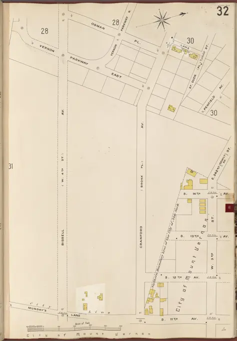
Detailed fire insurance maps depicting real property in New York and Boston, showcasing streets, lots, and boundaries from the early 20th century.
Detailed fire insurance maps depicting real property in New York and Boston, showcasing streets, lots, and boundaries from the early 20th century.