Historical Fortifications Maps

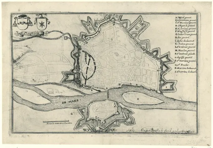
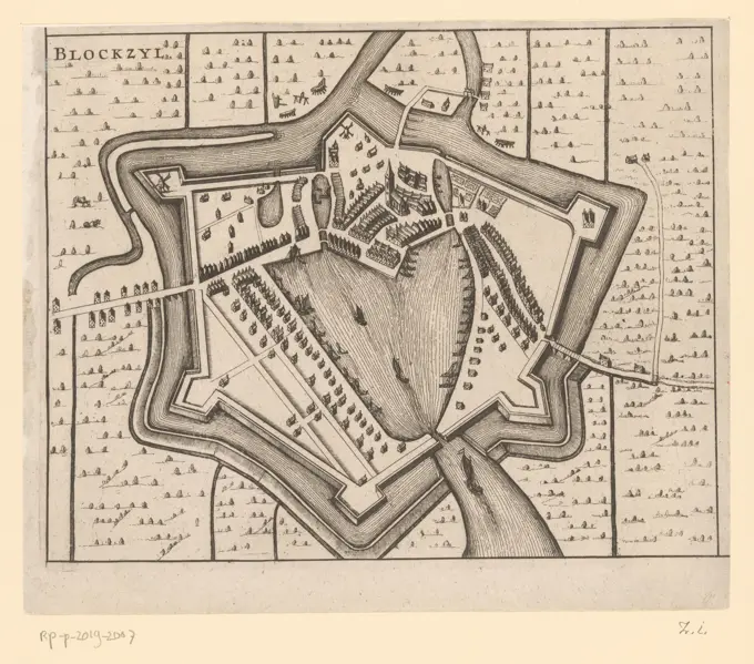
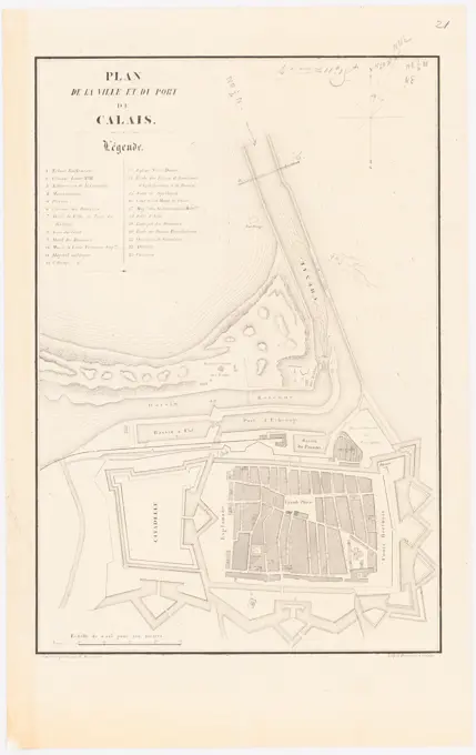
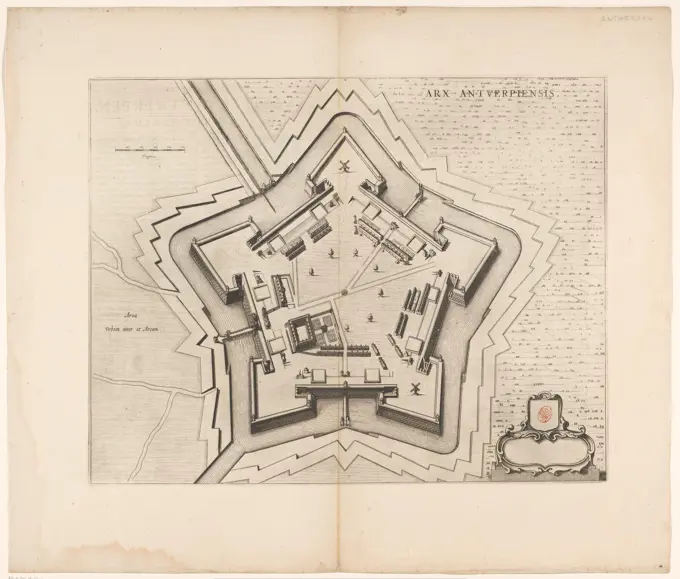
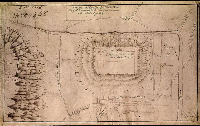
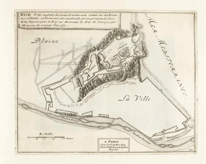
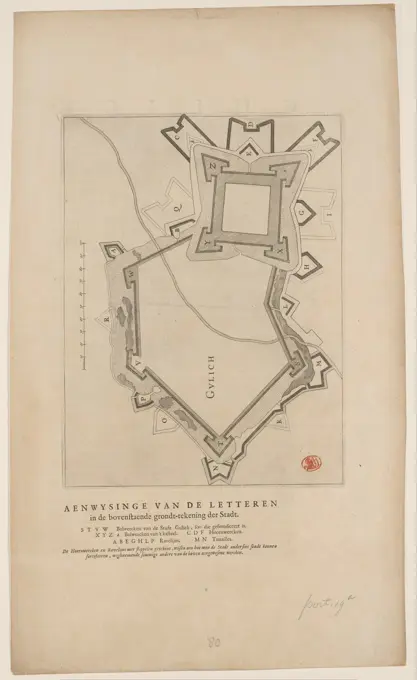
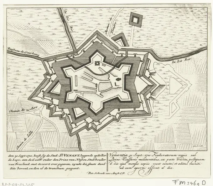
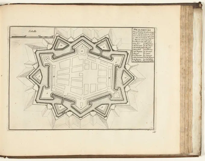
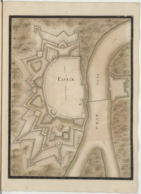
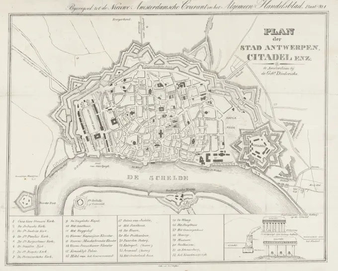
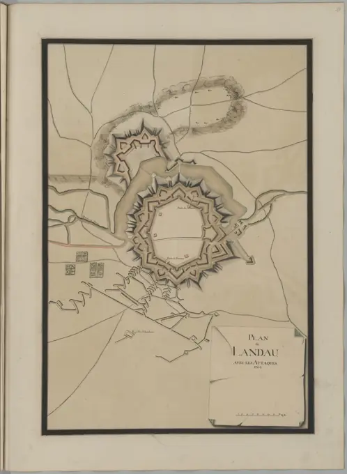
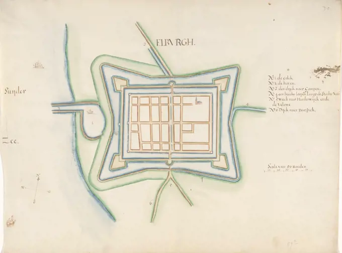
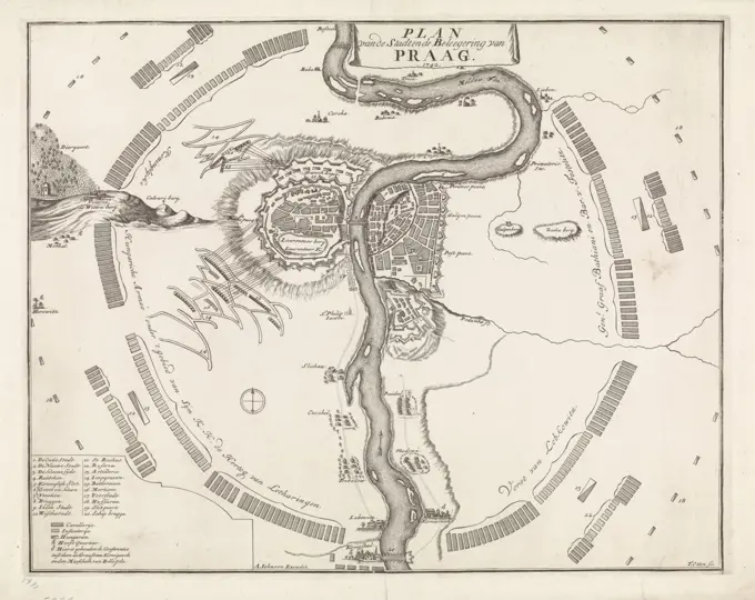
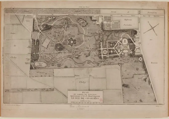
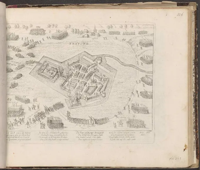
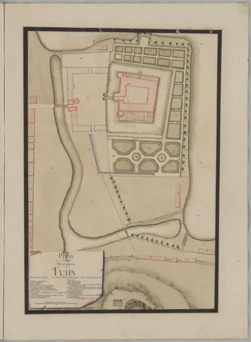
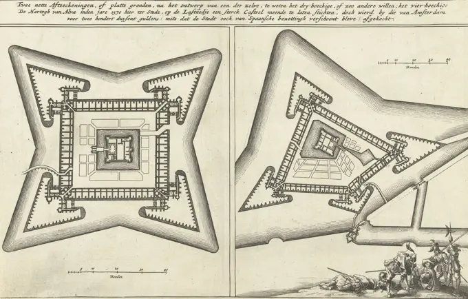
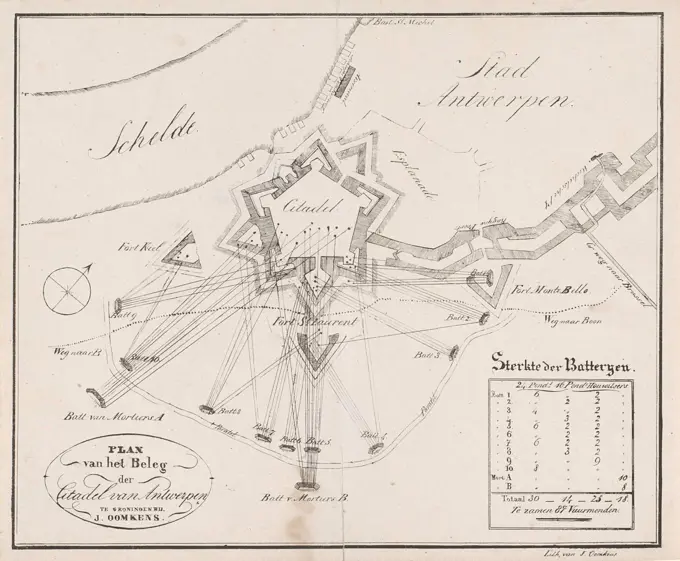
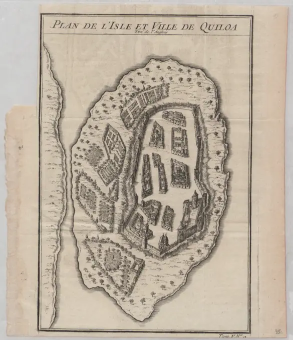
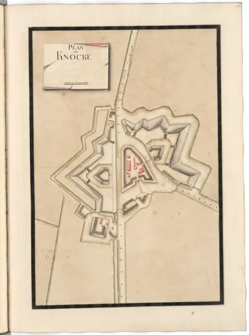
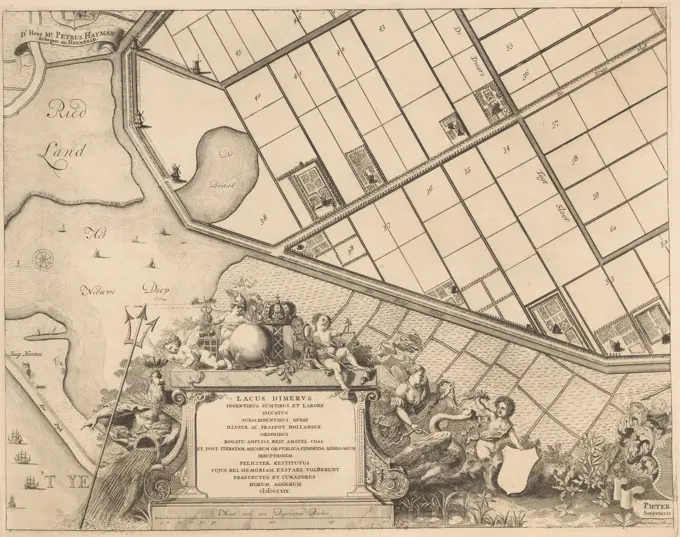
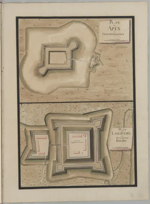
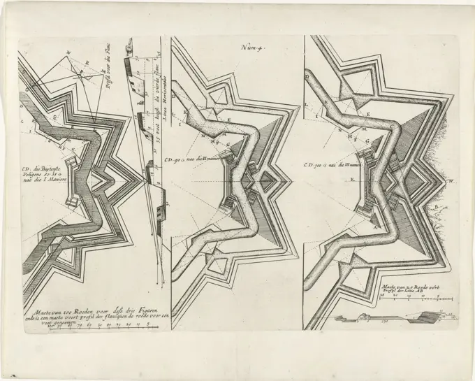
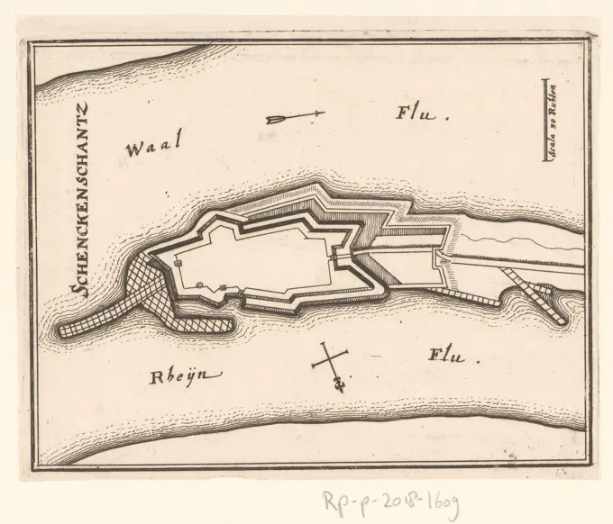
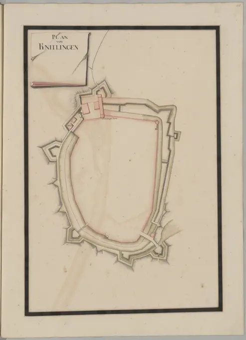
A collection of detailed engravings depicting various historical fortifications and cities in the Netherlands, showcasing military architecture and strategic layouts of the 17th century.

Map of Venlo, ca. 1701-1715, Samuel Du Ry de Champdoré, 1701 - 1715, Map of the fortifications around the city of Venlo with the Fort Sint-Michiel, ca. 1701-1715. Part of a collection of drawn plans of fortified places in the Netherlands and surrounding countries at the time of the War of the Spanish Succession (part B)., draughtsman: Samuel Du Ry de Champdoré, Netherlands, 1701 - 1715, paper, h 527 mm × w 730 mm