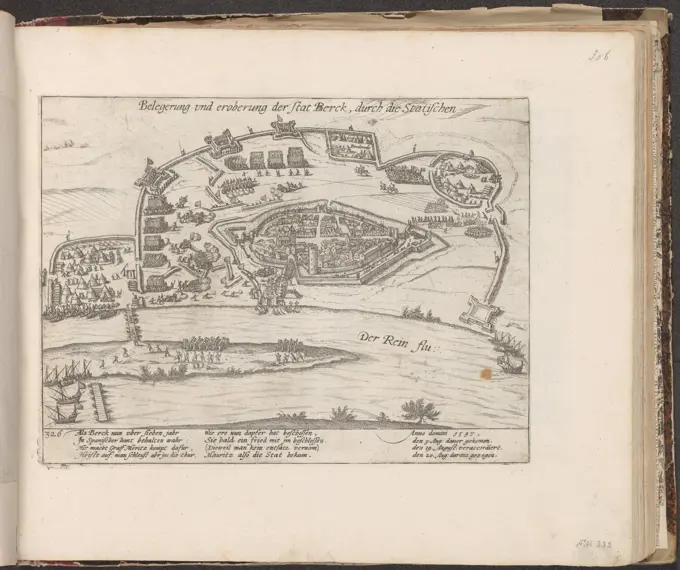
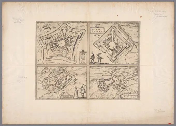
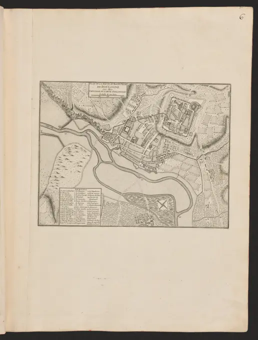
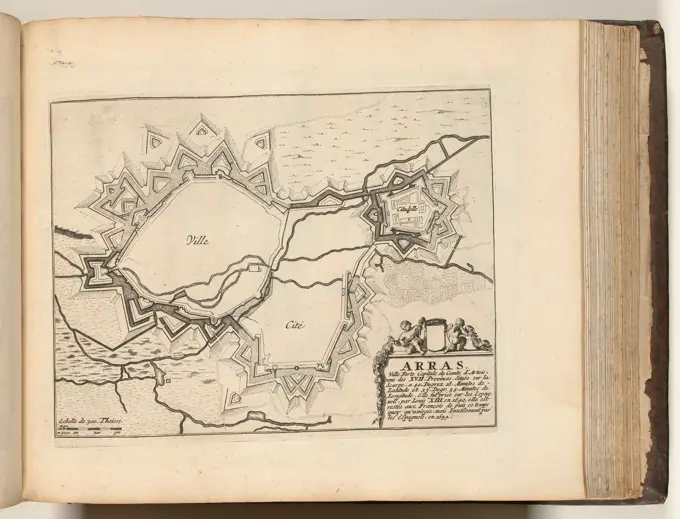
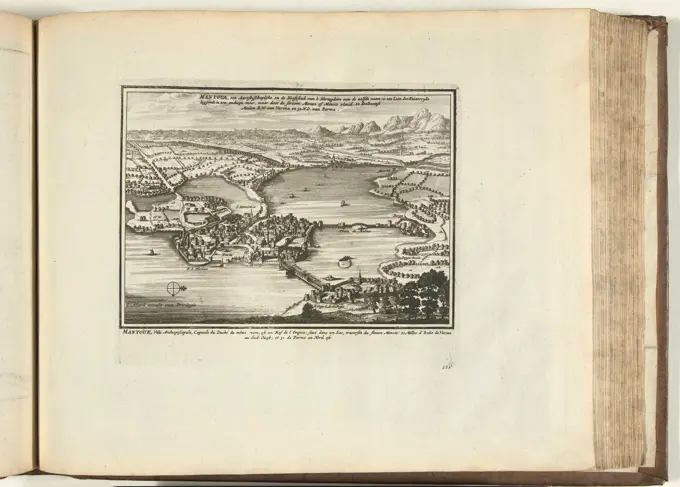
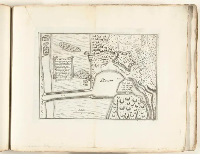
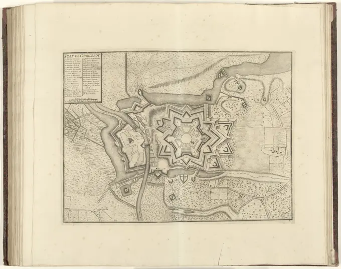
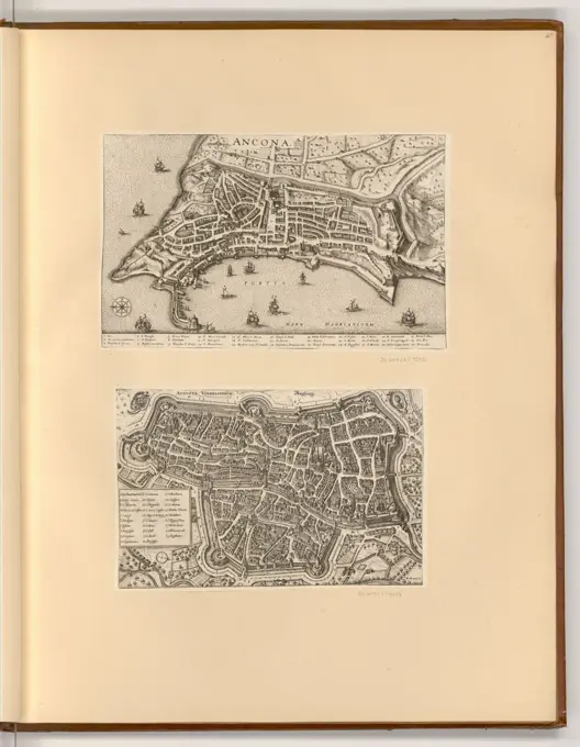
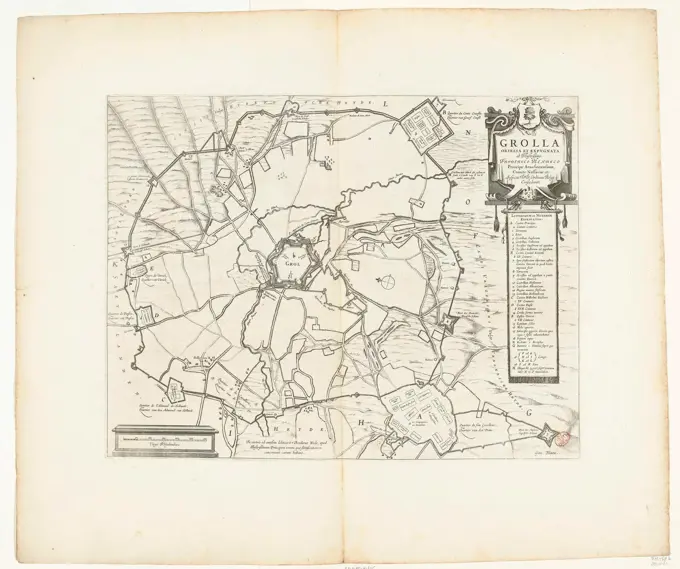
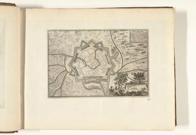
Historical Fortress Maps

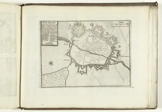
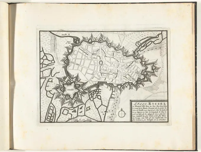
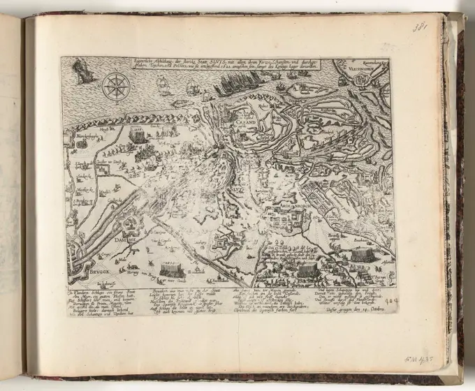
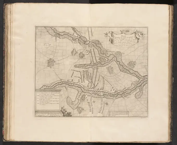
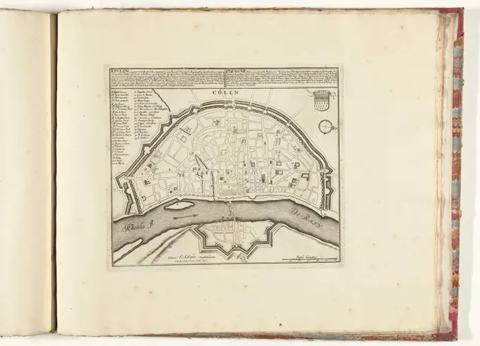
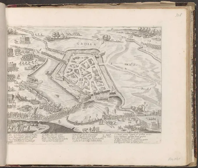
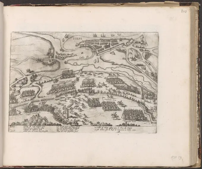
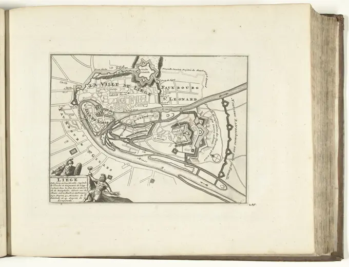
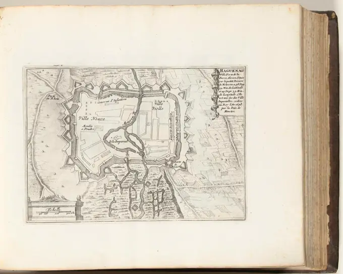
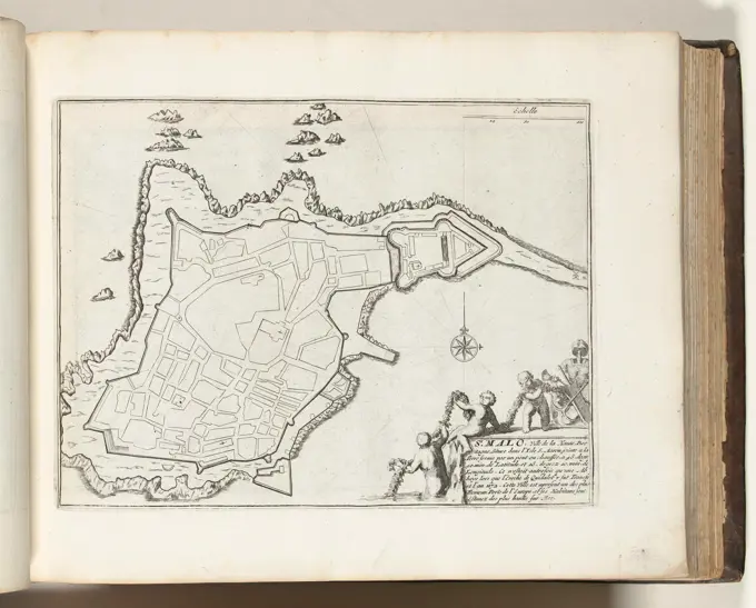
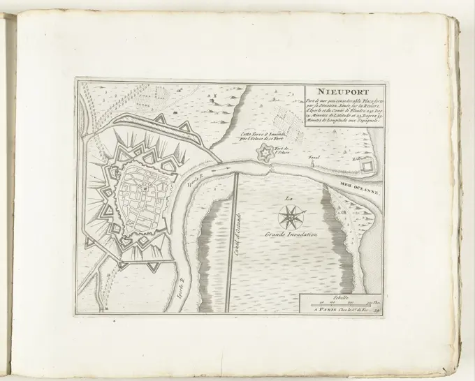
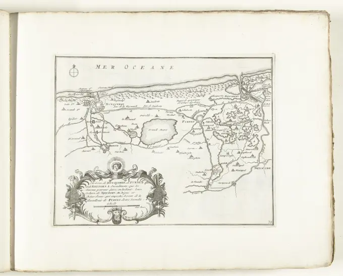
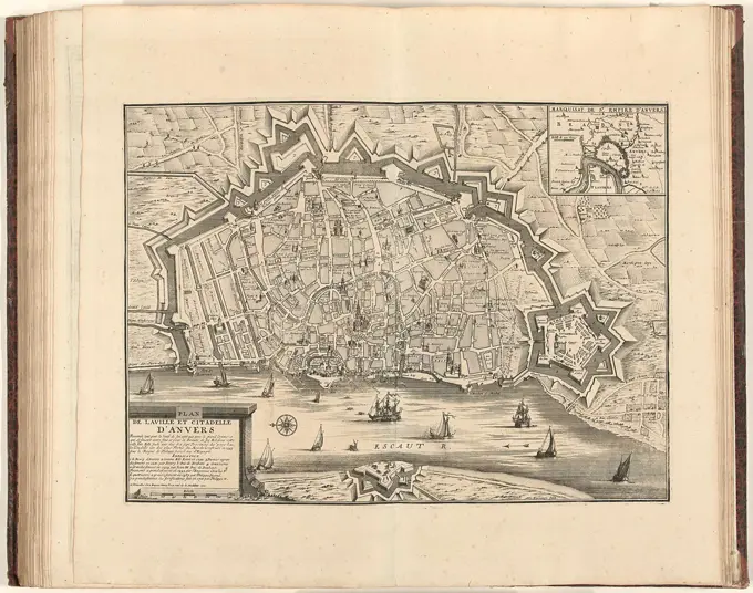
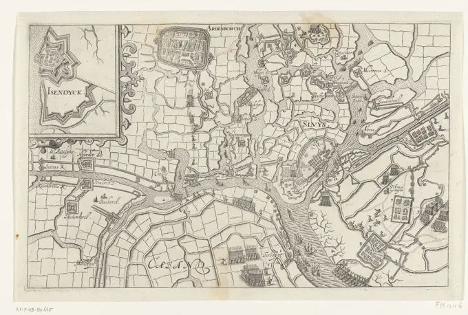
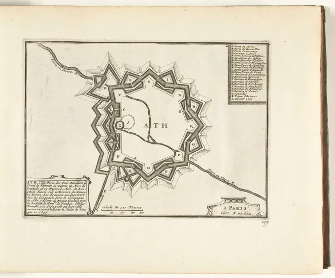
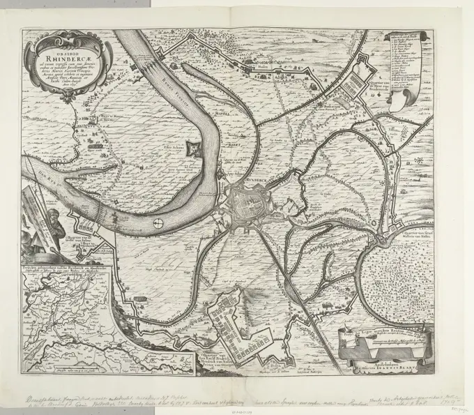
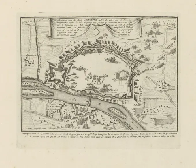
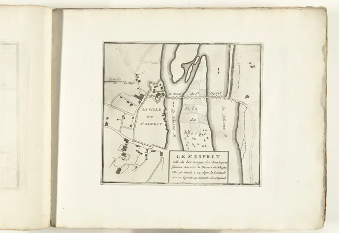
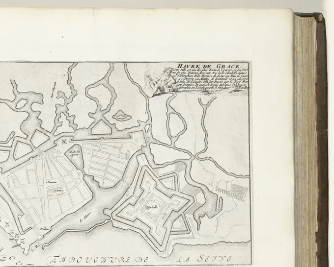
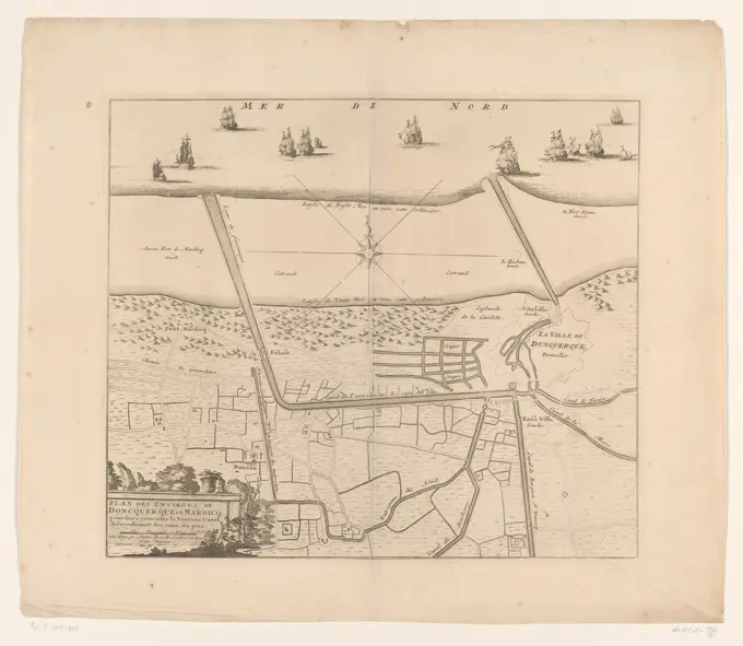
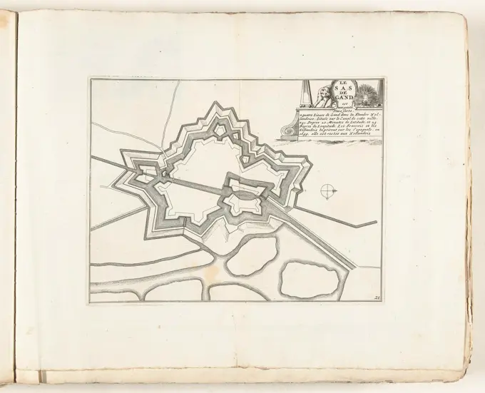
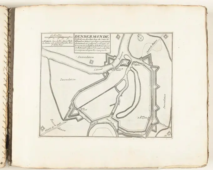
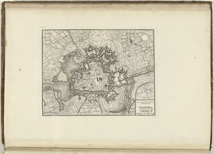
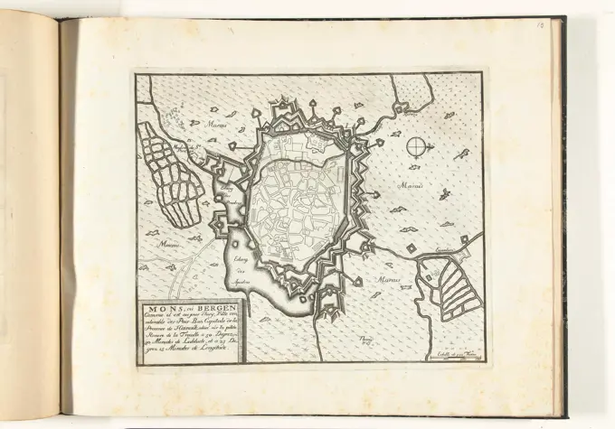
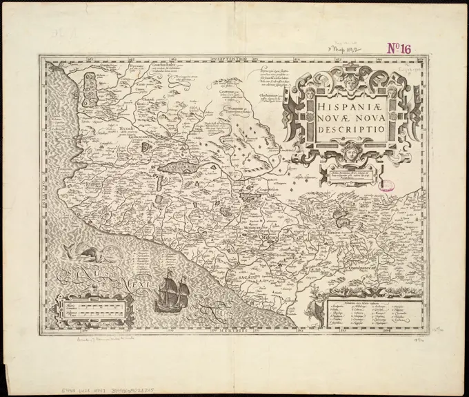
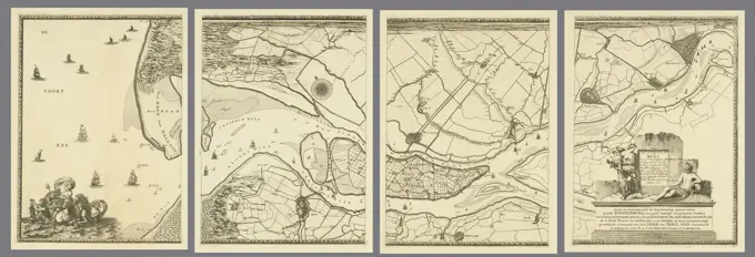
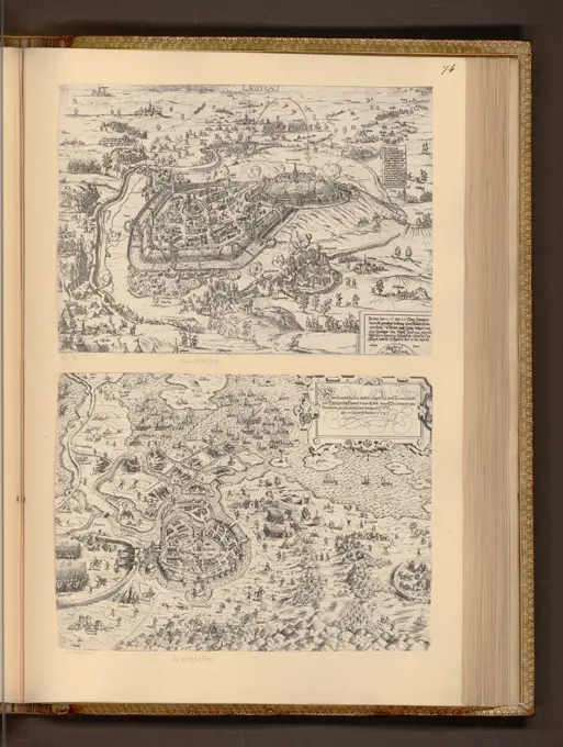
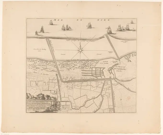
A collection of antique maps depicting fortifications of various cities in Europe, showcasing intricate designs and detailed inscriptions from the 17th and early 18th centuries.

Map of Sint-Winoksbergen, 1726, 1726 print Map of the reinforcements for the Flemish (now French) city of Sint-Winoksbergen (Bergues). Plate no. 244 in part XI of the print work: Les Forces de l'Europe, Asie, Afrique et Amerique ... Comme Aussi Les Cartes des Côtes de France et d'Espagne from 1726, this second part with 271 by hand numbered Plates of renowned strong cities and fortresses in the context of the Spanish War of Succession 1701-1713. For the most part, these records have been copied to the anonymous French records of renowned strong cities and forces: in Les Forces de l'Europe and in: Le Theater de la Guerre, Dans Les Pays-Bas, both originally published by Nicolas de Fer in Paris (1693-1697) in the context of the Nine Years' War. Title and inscriptions in French. print maker: Northern Netherlandspublisher: Leiden paper etching maps of cities. fortress Sint-Winoksbergen