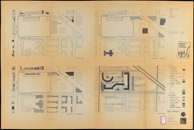
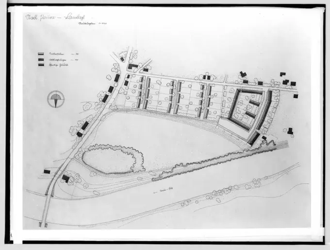
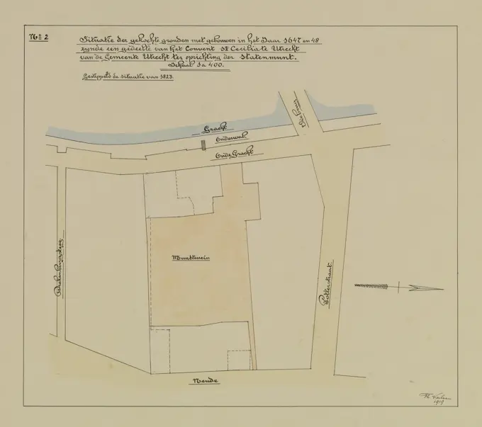
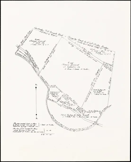
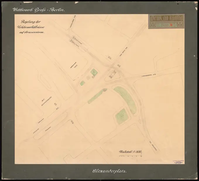
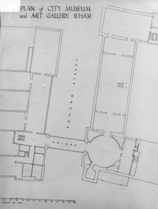
Historical Land MapsDetailed plans and maps illustrating parcels of land and naval facilities, showcasing historical land use and architecture from various eras. Plan showing various parcels of land in the vicinity of Wolcott Ave., Lawrence, Mass. , Streets, Boundaries. Lawrence 176 assets in this story6145-513864636145-529445346145-303308196145-529443574443-196049206145-484470576145-484703546145-485050206145-545264956145-484605716145-484392106145-528306906145-426021326145-437004116145-559142146145-529636256145-559288046145-426034756145-505371324443-196050516145-435903766145-484622426145-303052156145-529450496145-486730576145-426097456145-467287416145-546789906145-426021446145-426035396145-596044526145-484479996145-487327136145-438738286145-426021346145-559134686145-505118096145-505388376145-484341046145-484448076145-529446186145-296584356145-426030786145-467755796145-489819556145-426021516145-529450296145-505740396145-513935876145-489825156145-484414356145-528316786145-559736656145-296700956145-486850016145-529451076145-505702896145-303065286145-529450516145-528983486145-505513506145-484427546145-486965916145-551700546145-484899666145-303065916145-484466106145-506546946145-506614414409-215181846145-296067536145-438755946145-296054846145-303046726145-529450536145-484463716145-484477416145-484697696145-426021336145-528932086145-484849566145-505304306176-670674376145-431555976145-528932006145-426399626145-484467316145-484450746145-484399966145-484476636145-551670516145-484487636145-486543476145-303065416145-505620176145-484446826145-296703276145-528306936145-484477816145-48448568 PREVIOUS of 2 NEXT