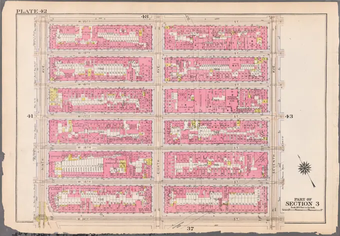
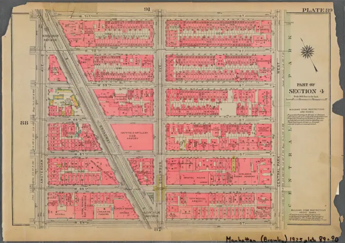
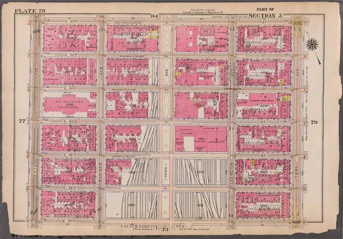
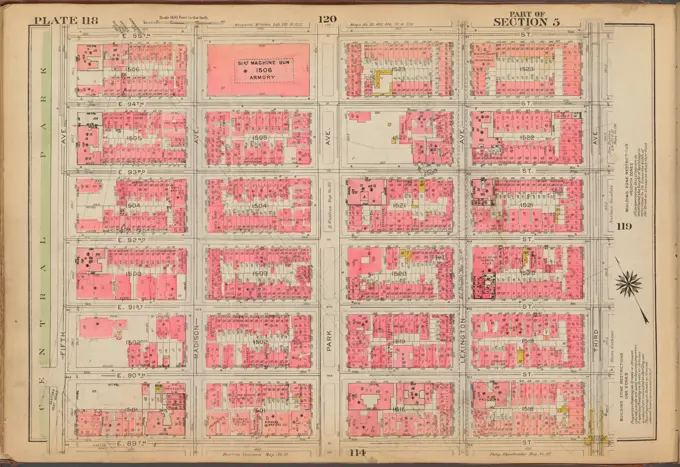
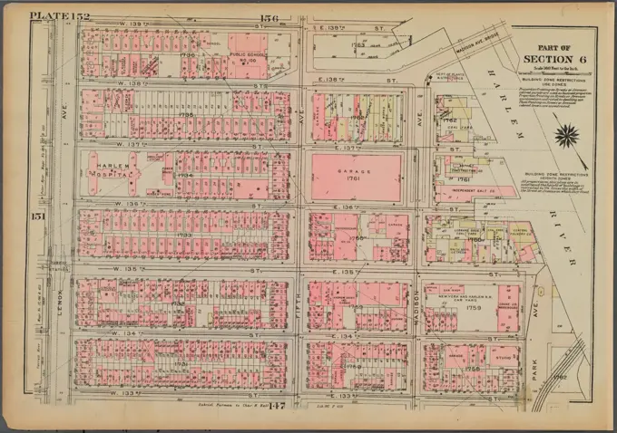
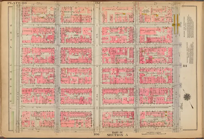
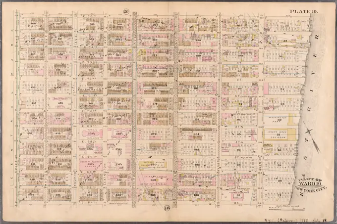
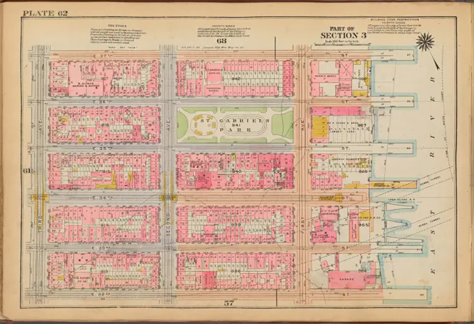
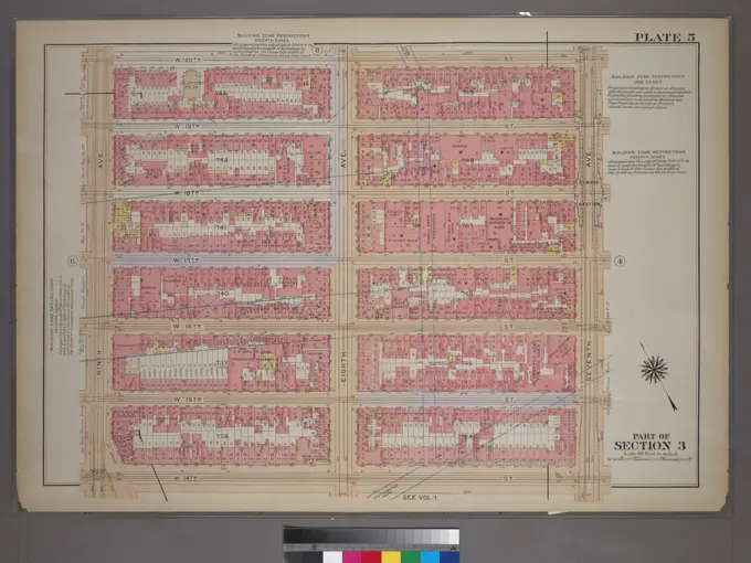
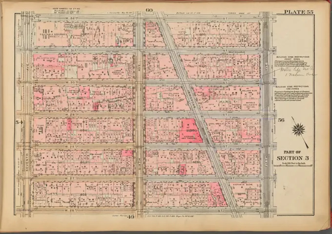
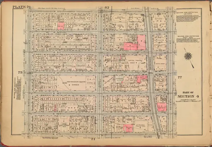
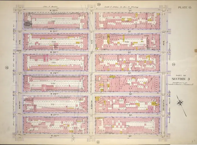
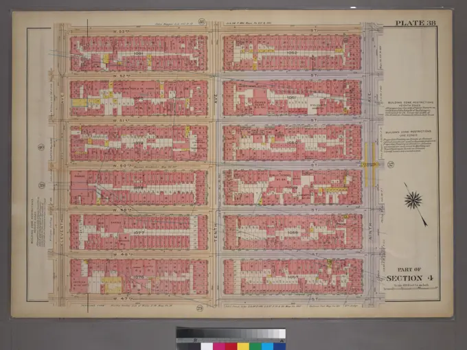
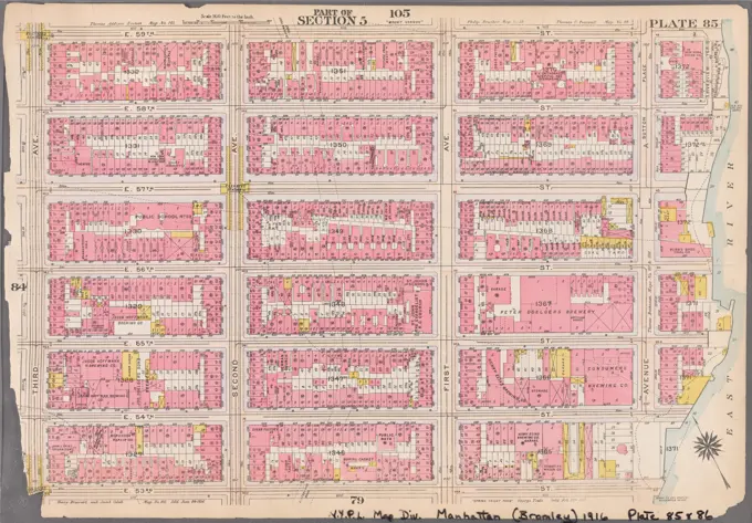
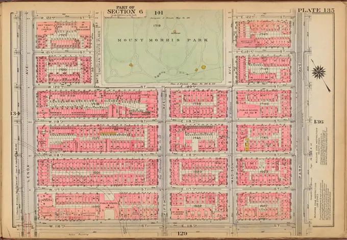
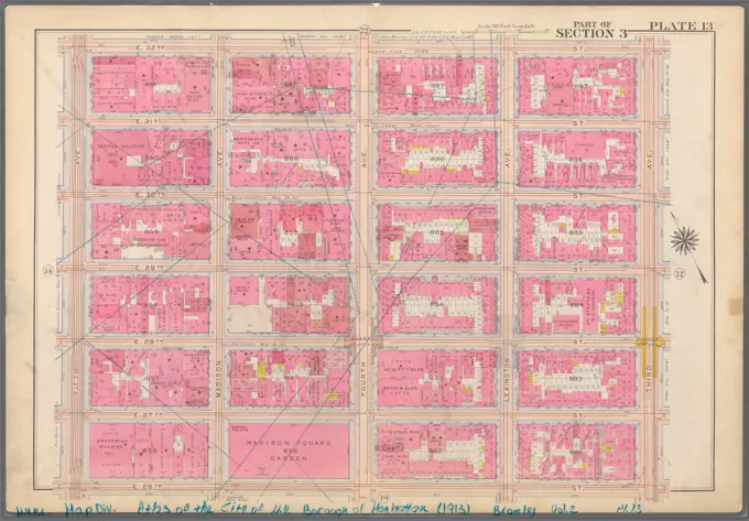
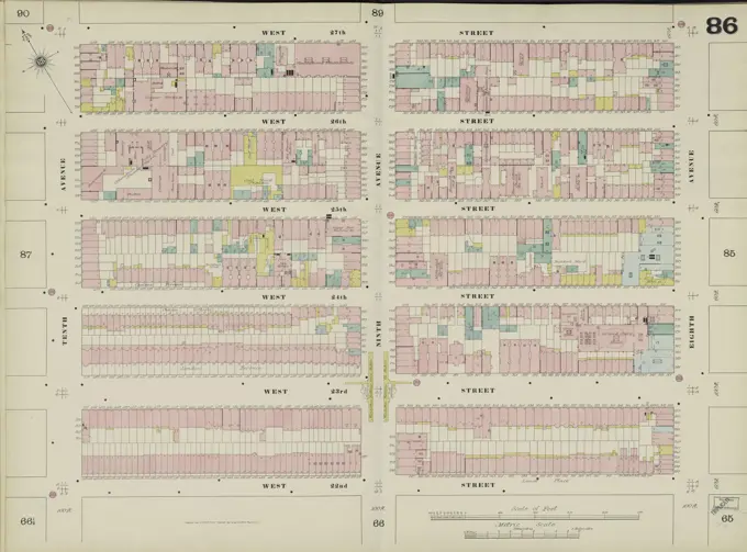
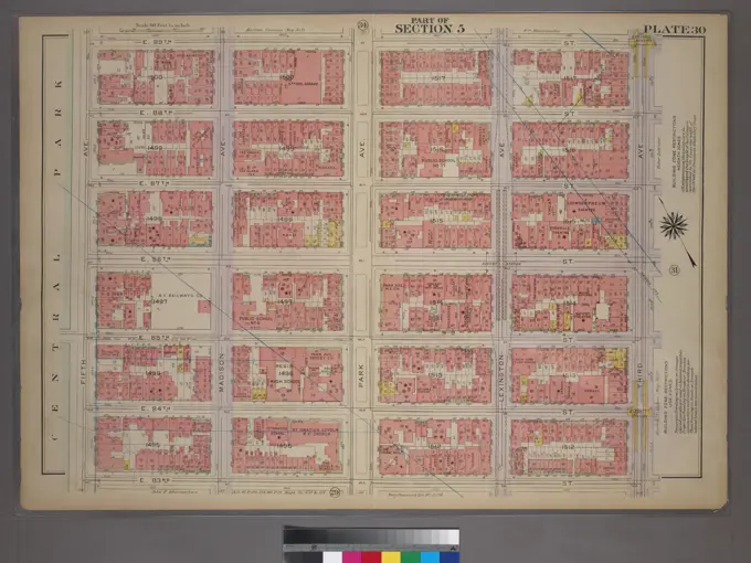
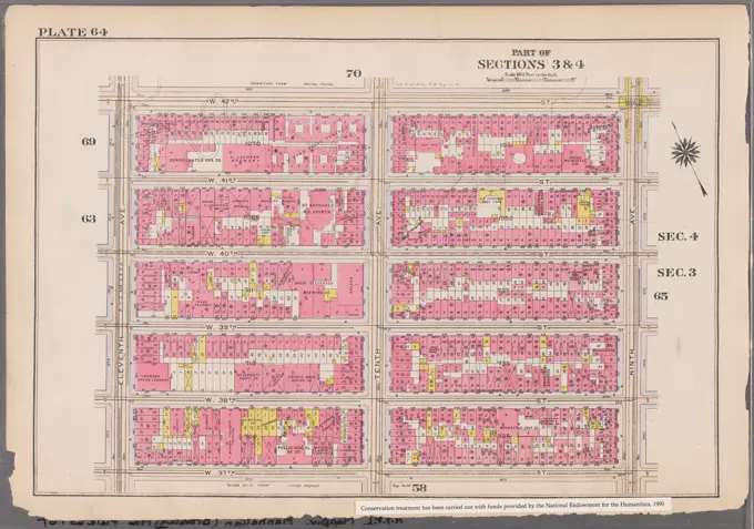
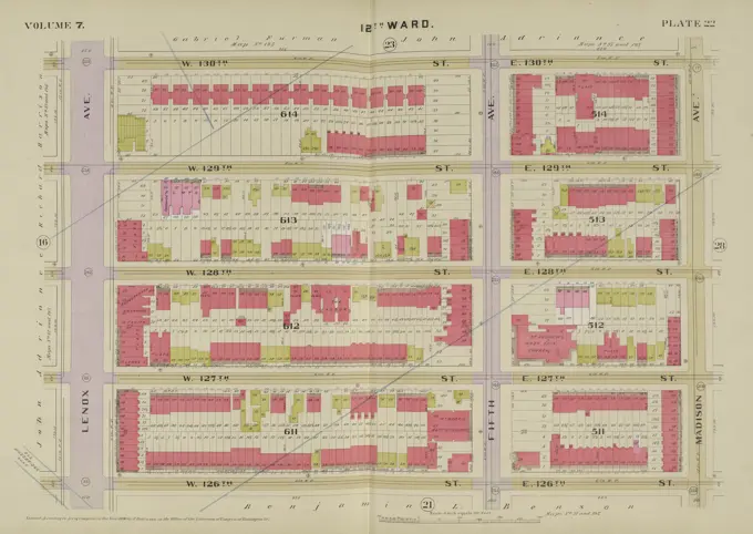
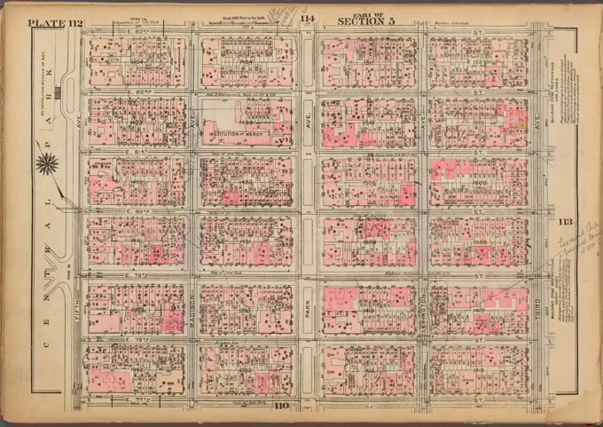
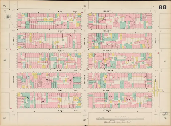
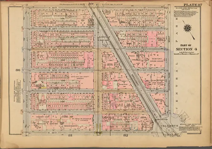
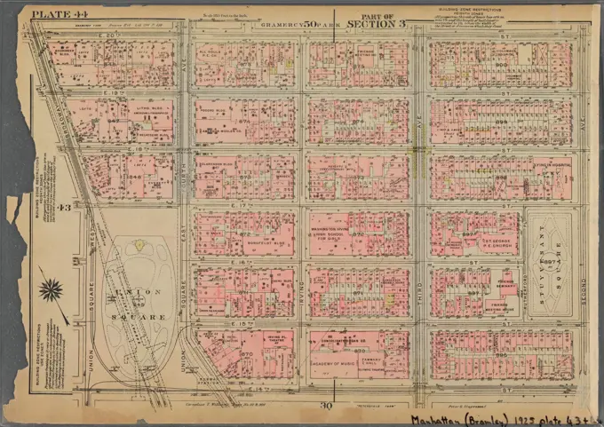
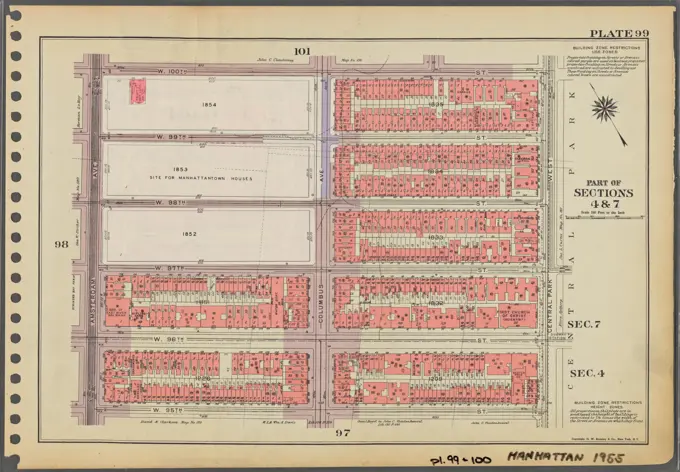
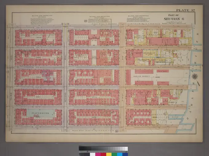
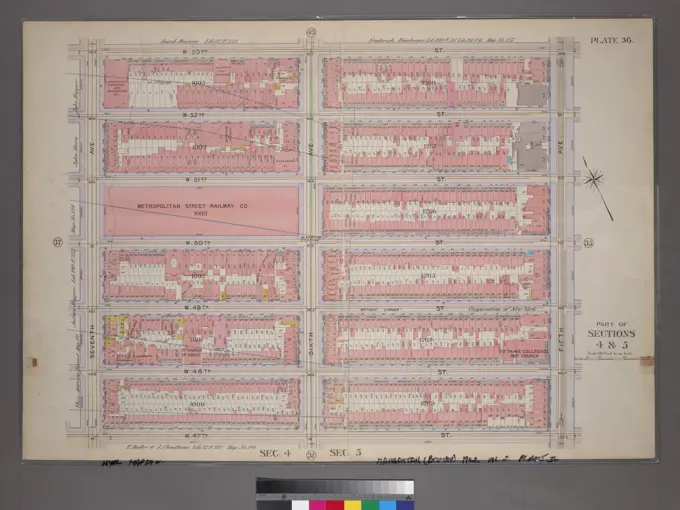
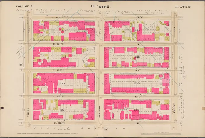
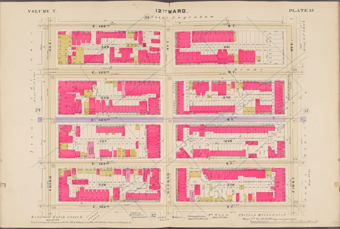
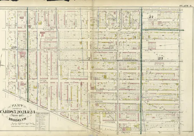
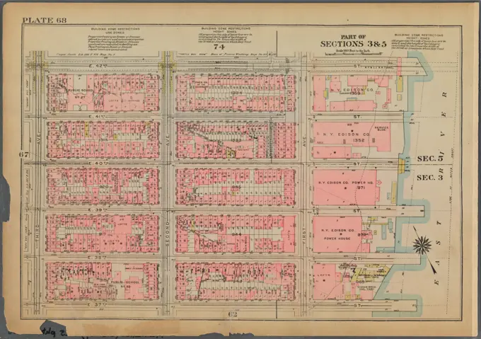
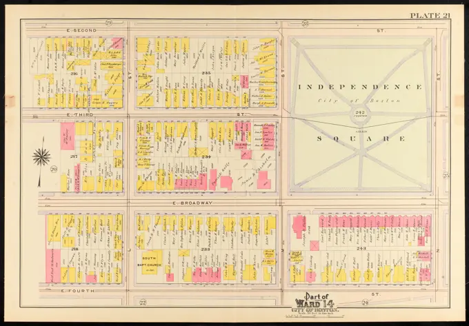
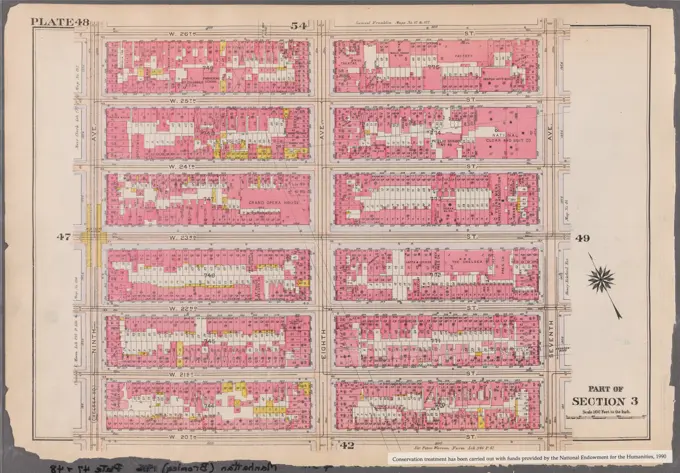
Historical Manhattan Property Maps
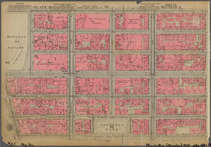
Detailed cartographic maps depicting real property sections of Manhattan from the early 20th century. Features various neighborhoods and landmarks, vividly colored.
Detailed cartographic maps depicting real property sections of Manhattan from the early 20th century. Features various neighborhoods and landmarks, vividly colored.