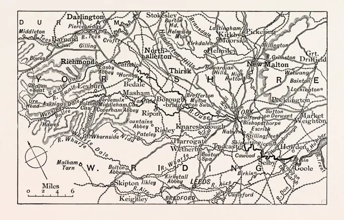
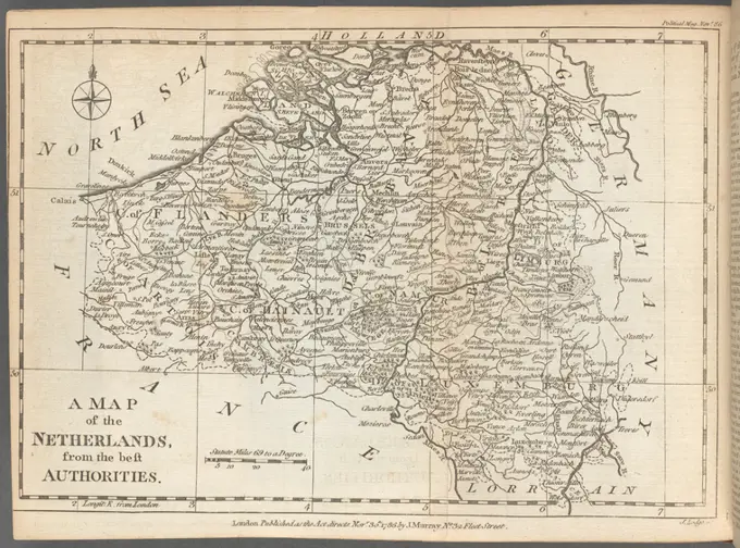
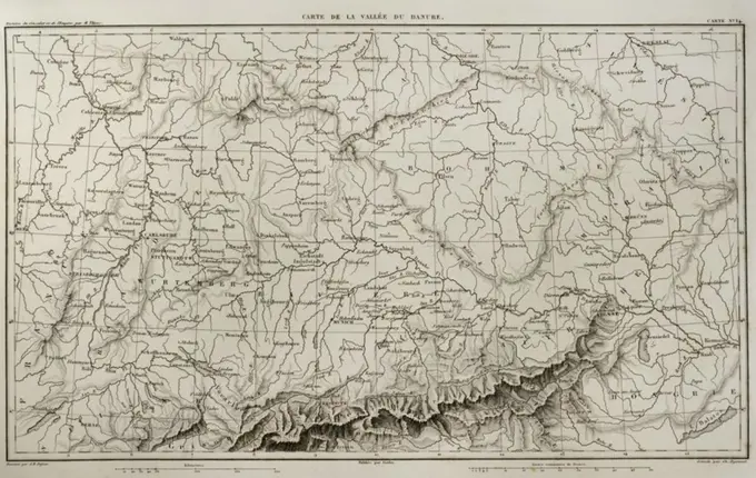
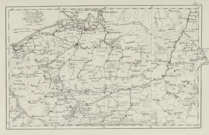
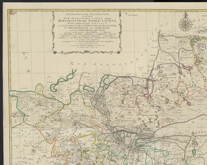
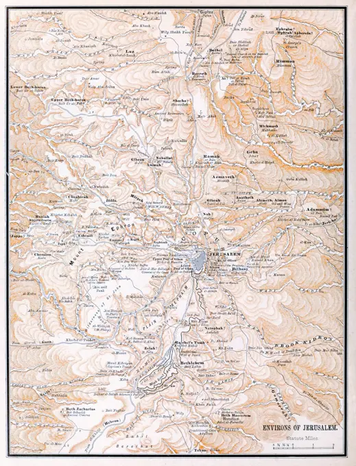
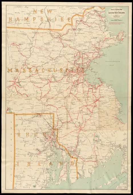
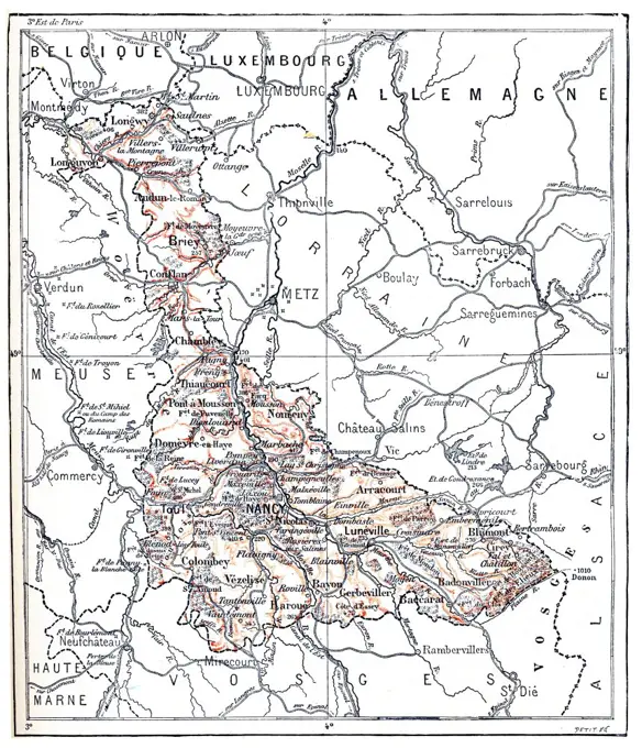
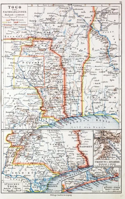
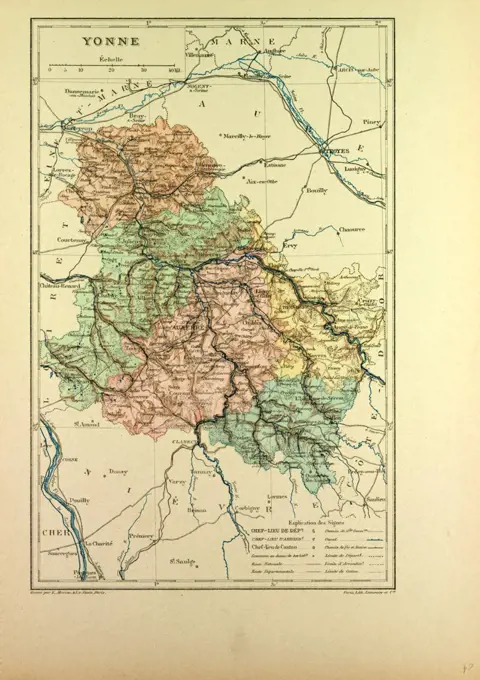
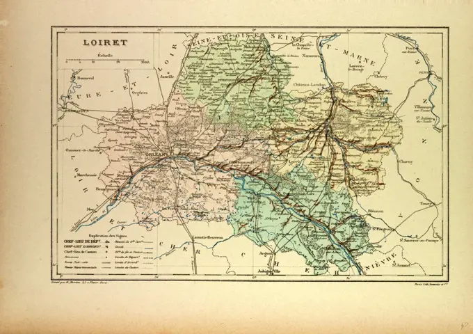
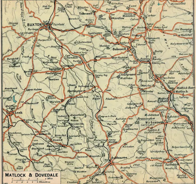
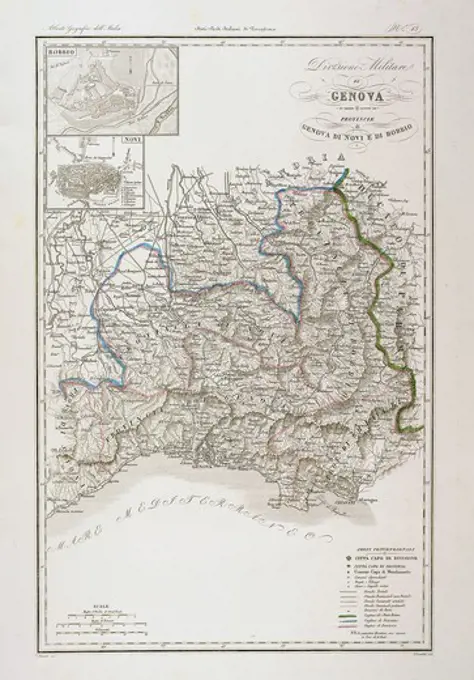
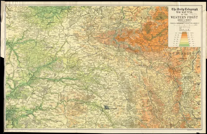
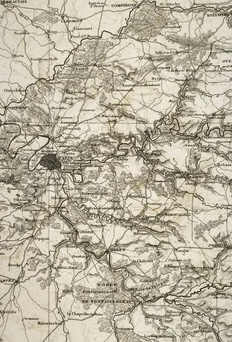
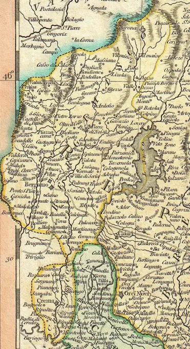
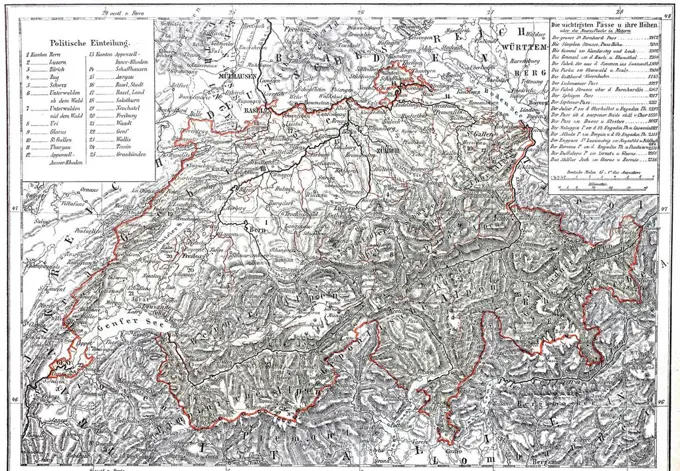
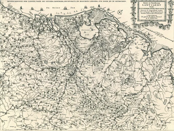
Historical Maps

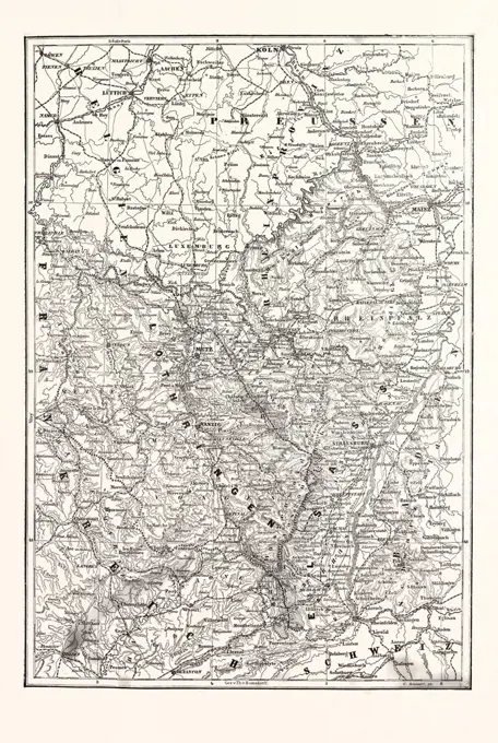
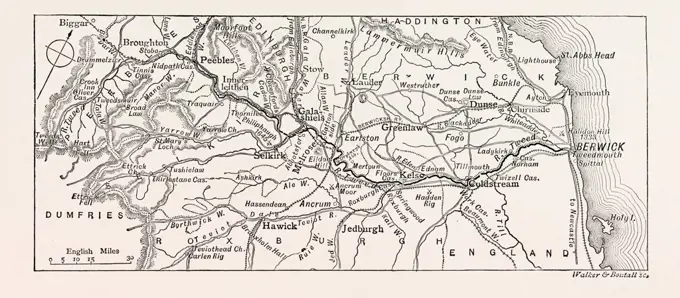
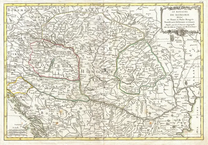
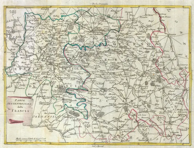
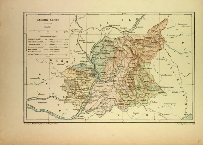
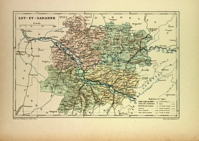
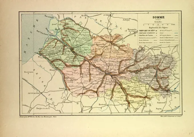
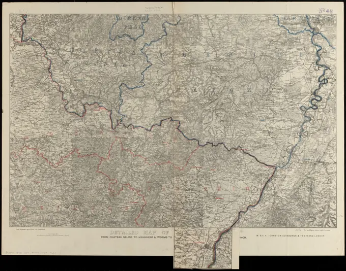
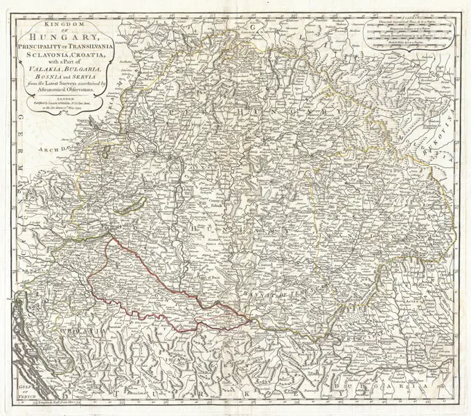
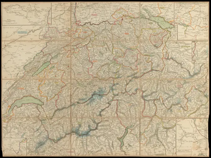
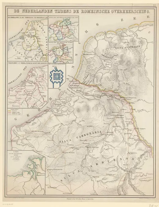
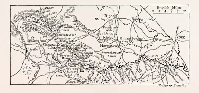
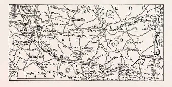
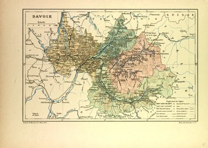
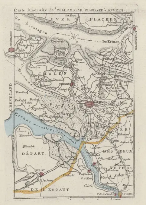
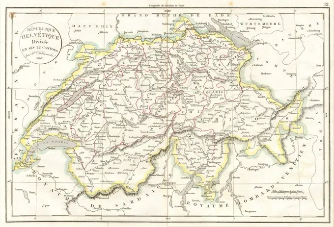
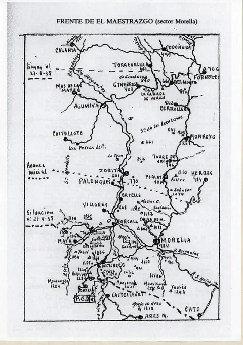
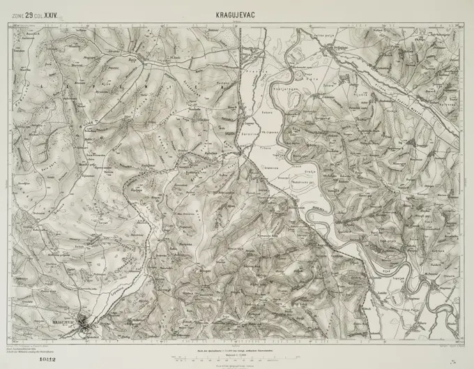
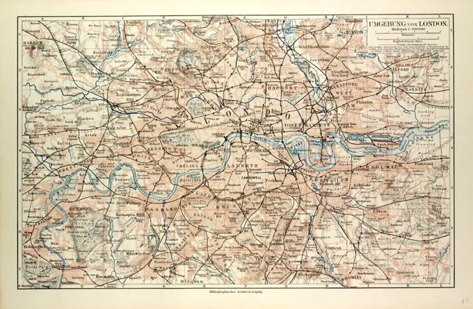
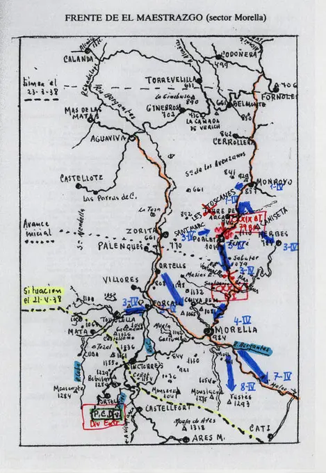
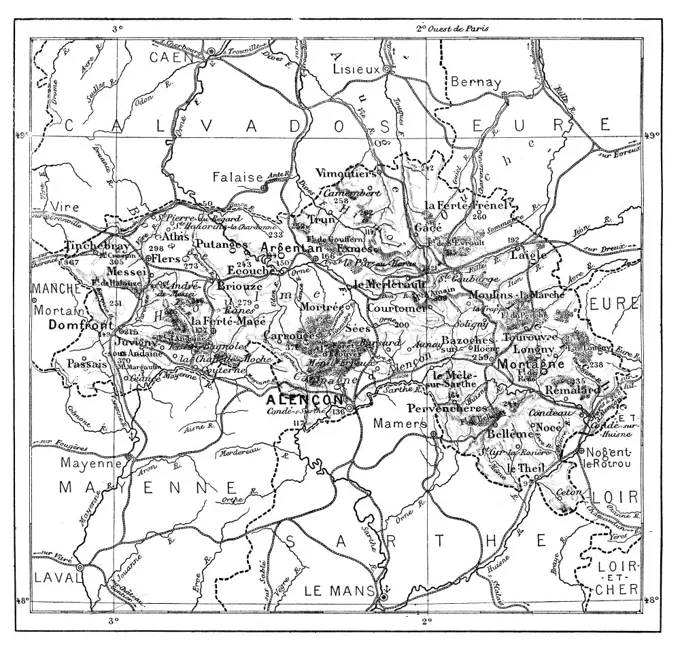
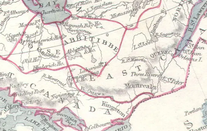
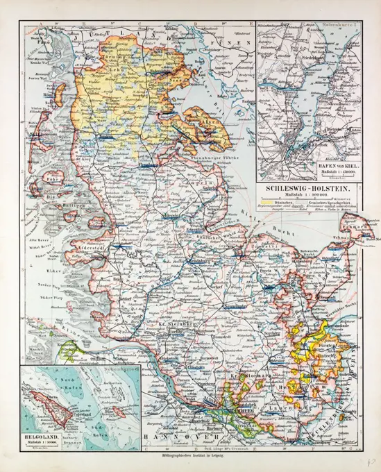
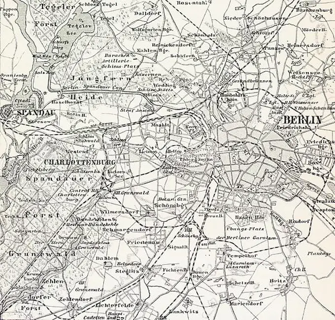
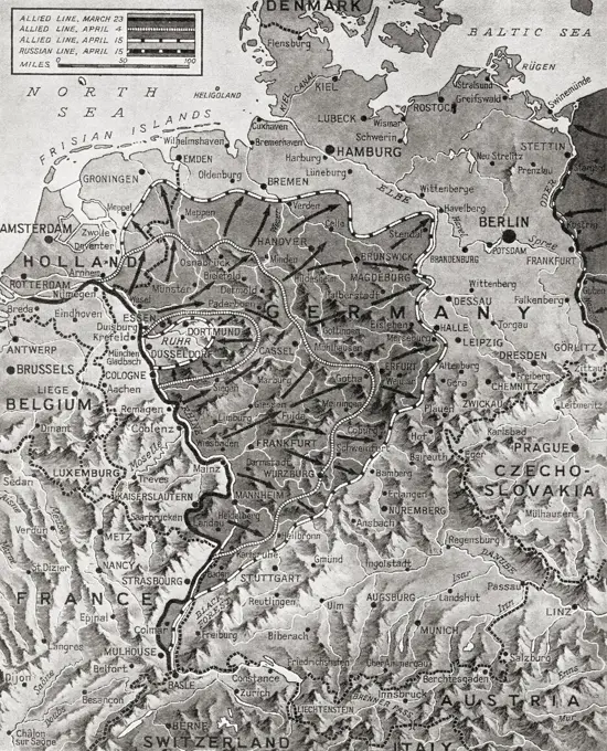
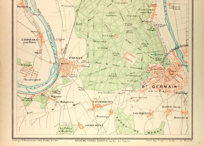
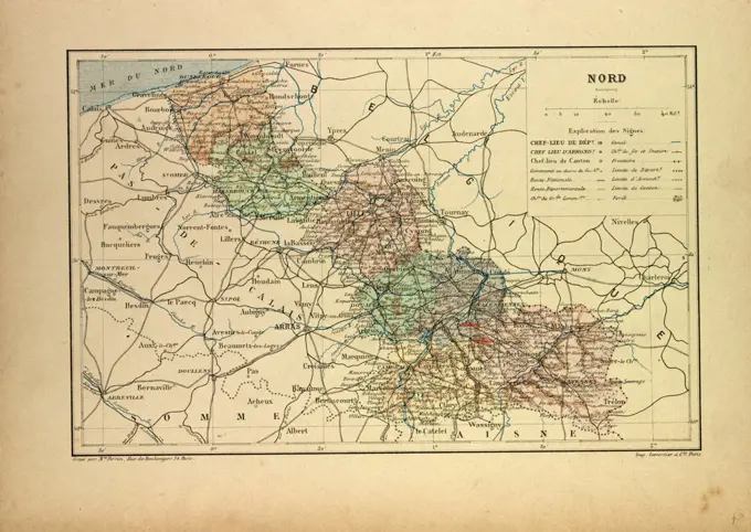
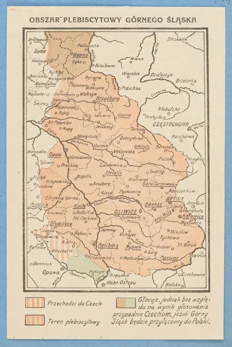
Various historical maps from the 17th to the 19th centuries depicting regions in Europe and strategic military movements.

Amsterdam, Doornick, Marcus Willemsz., Northern Netherlands, Afteeckeninge of the countries through which the emperor's, king's, elector's and bishop's army passed, New and Accurate Land Map of the Seventeenth Dutch Province etc., Delineation of the countries through which the emperor's, Map of the Netherlands through which the French and Munster armies passed, ca. 1672-1674, ca. 1672-1674. At the top right a cartouche with the title of the print and the publisher's address. The coats of arms of the seventeen provinces are depicted around the cartouche., print, engraving, map, historical print, prints, Frederik Muller Historieplaten, height 415 mm, width 550 mm, print maker, printmaker, 1672 - 1674, third quarter 17th century, paper, etching, etchings, Publication (Event), Publication, publisher