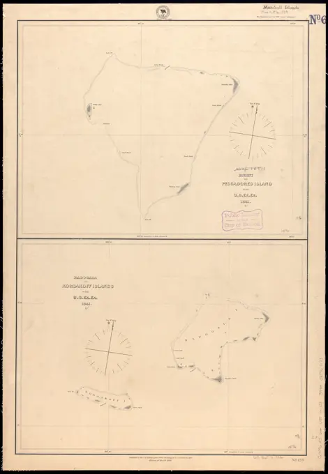
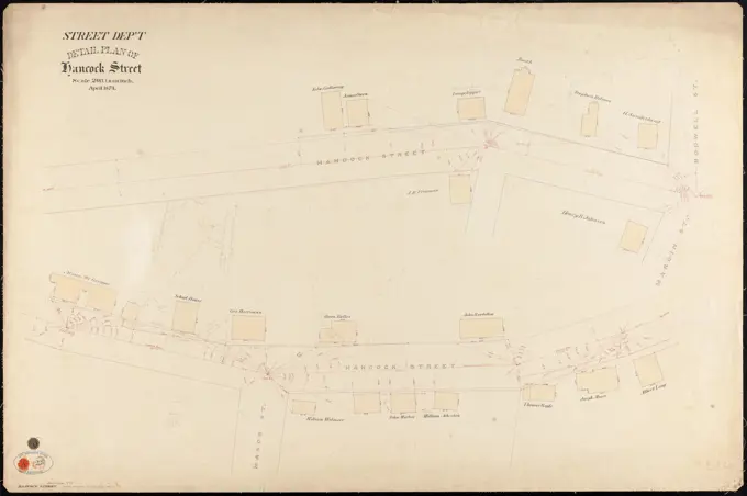
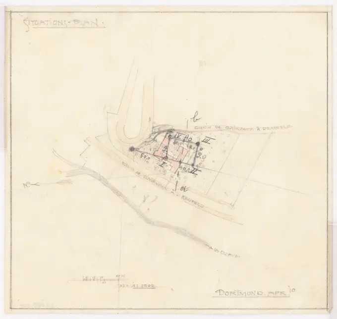
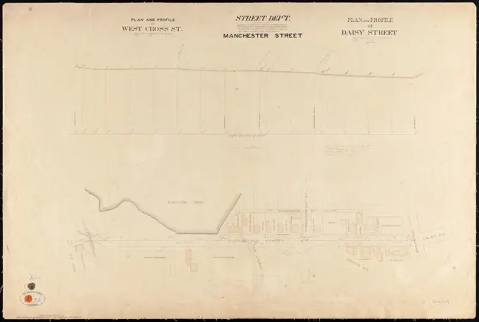
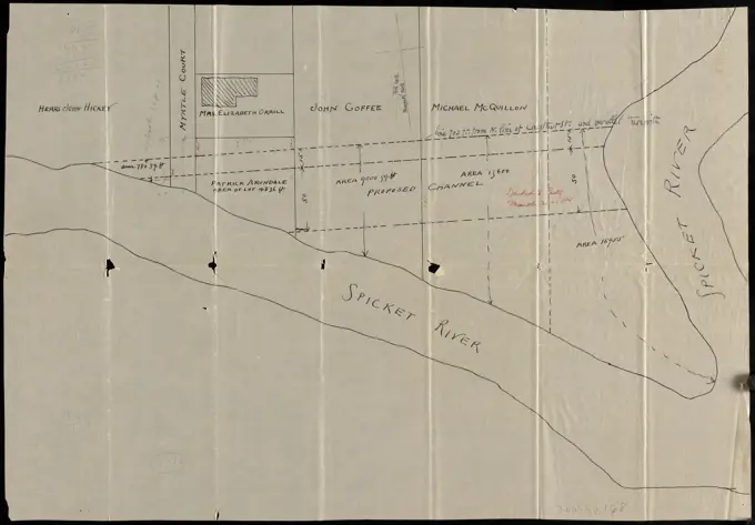
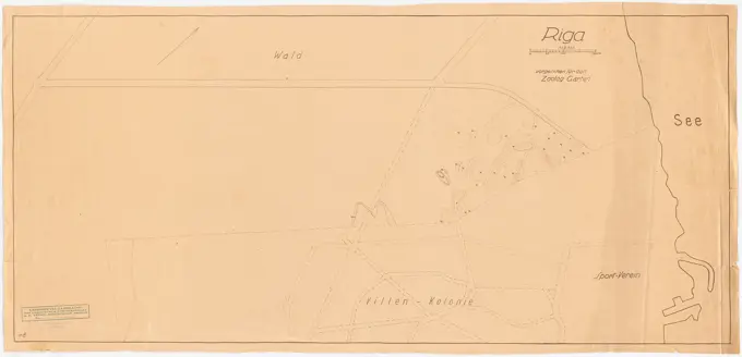
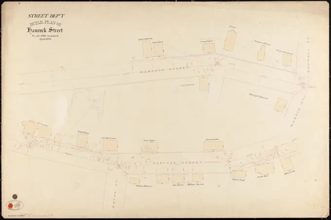
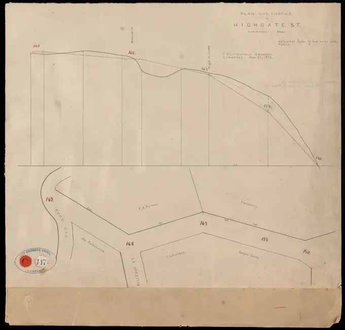
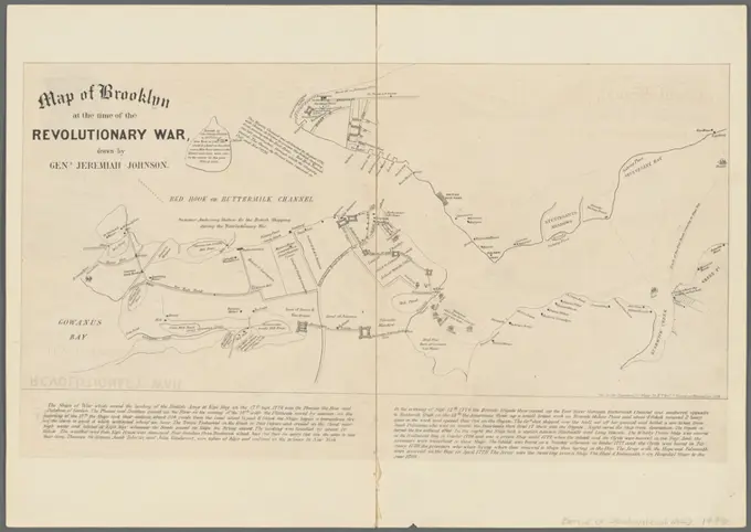
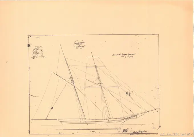
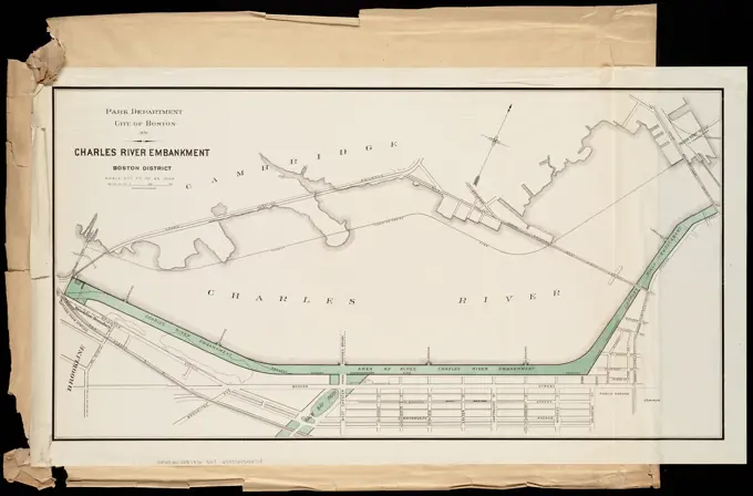
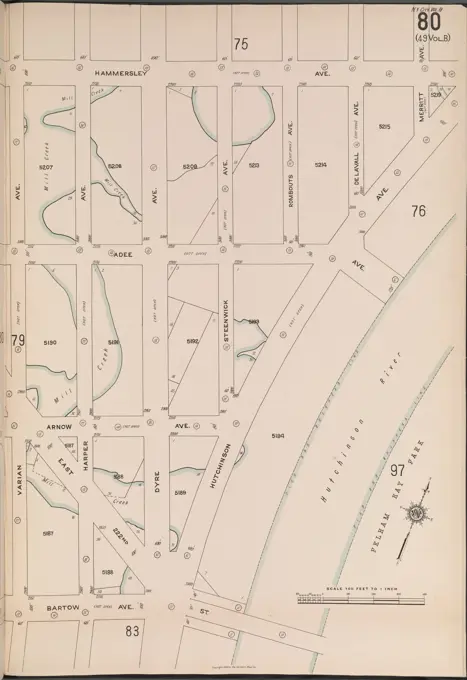
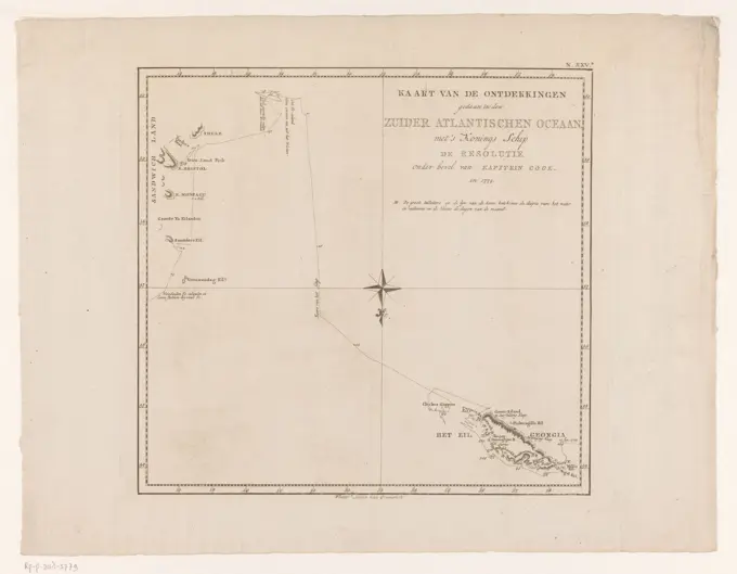
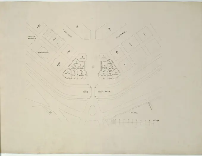
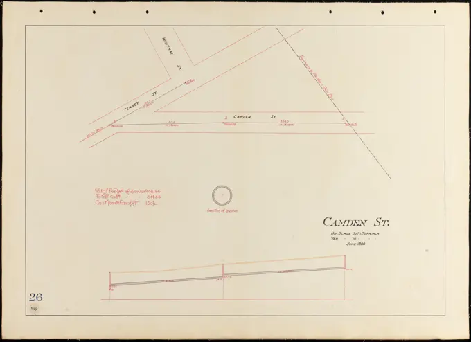
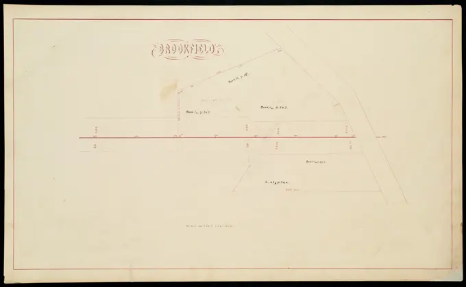
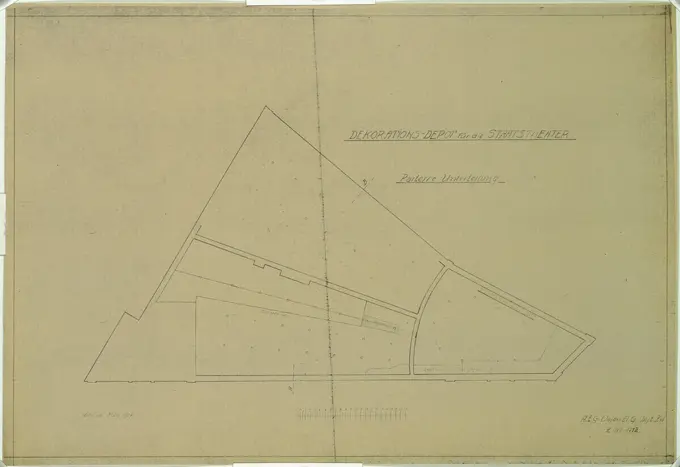
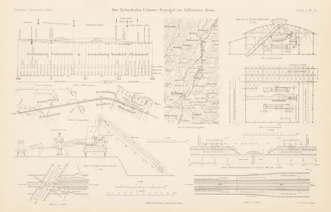
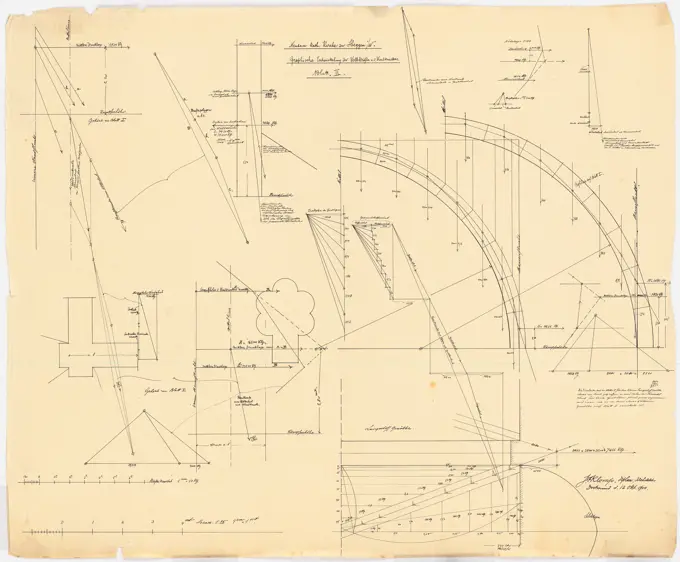
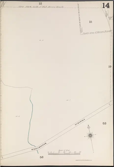
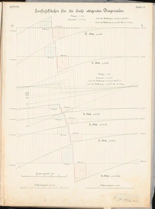
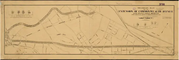
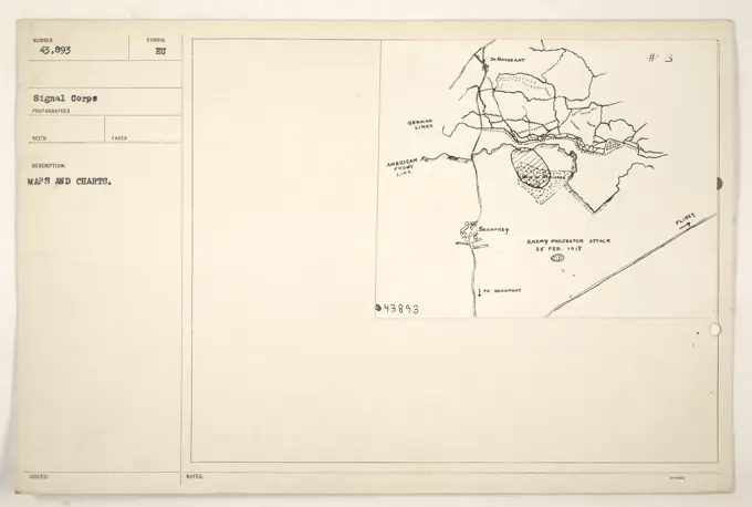
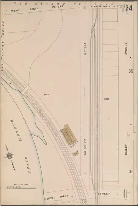
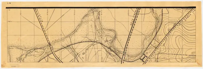
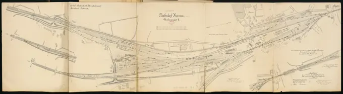
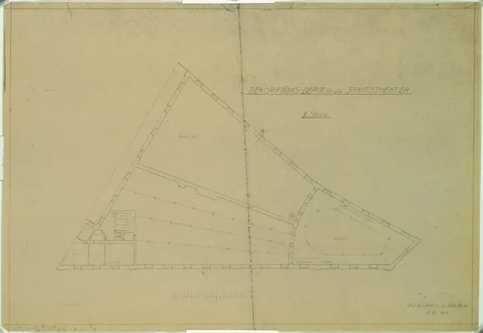
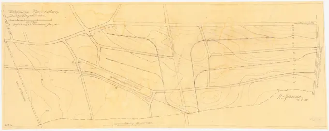
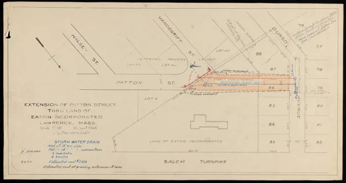
Historical Maps and Plans

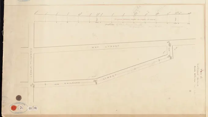
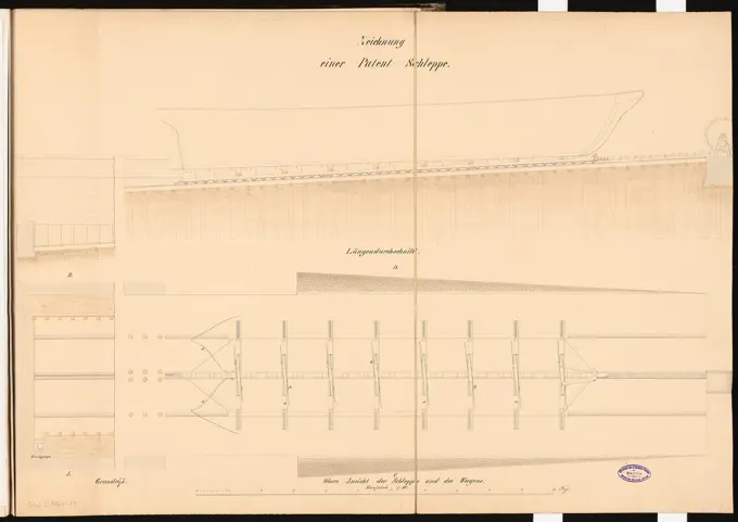
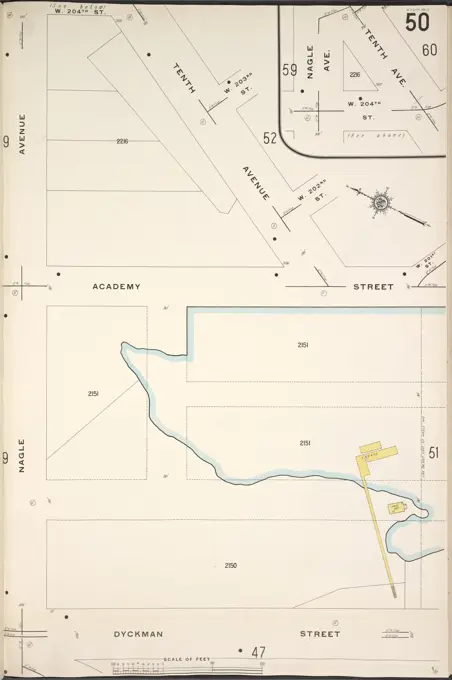
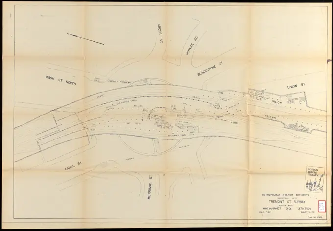
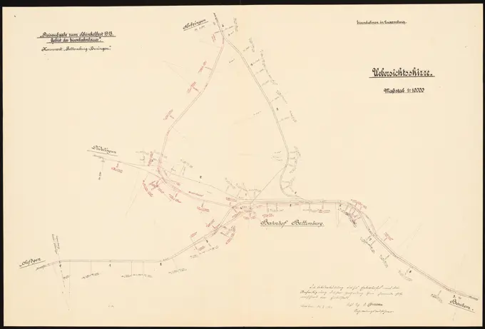
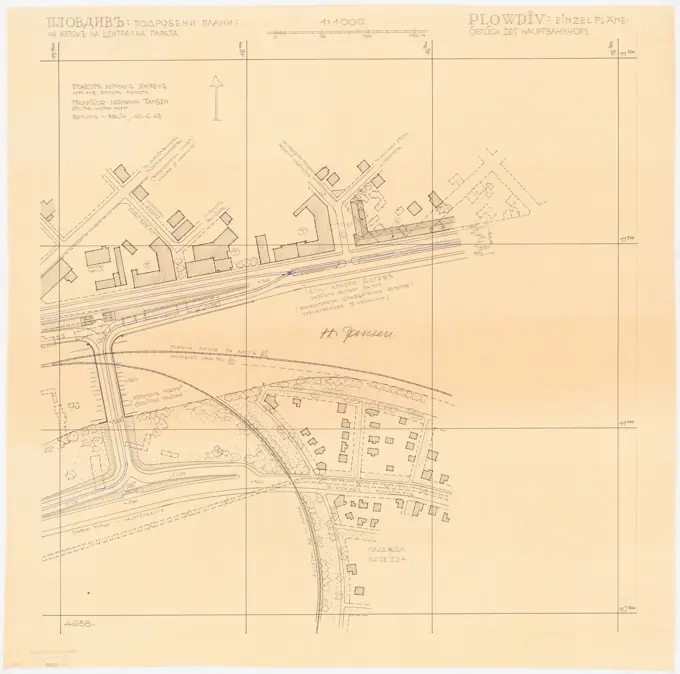
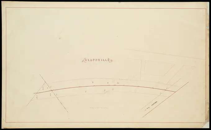
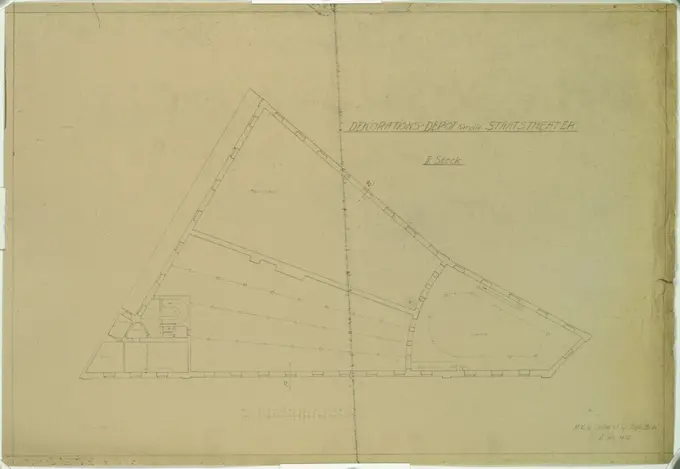
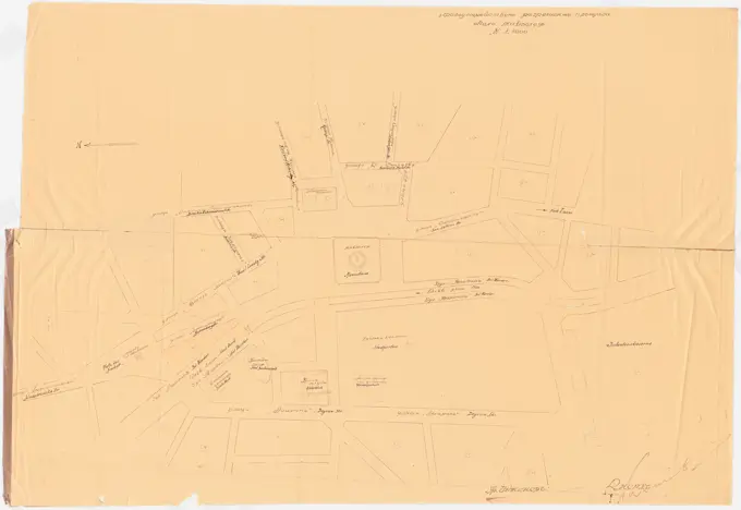
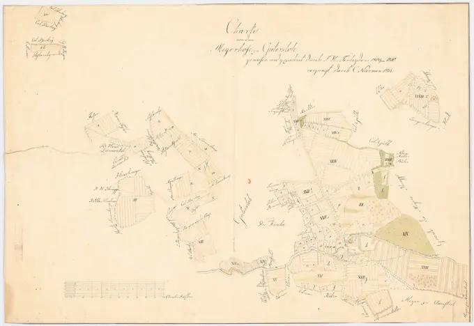
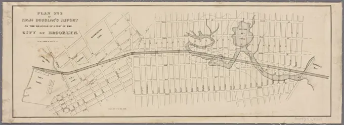
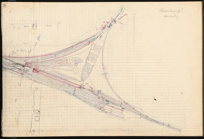
Detailed historical maps and blueprints, illustrating engineering projects and urban planning in Holland and Lawrence, showcasing annotations and artistic features.

Plan map for the construction of a migration between Leiden and Haarlem, July 1640, 1640 drawing Plan map for the construction of a migration between Leiden and Haarlem, July 1640. To the right of the compass rose a compass with a bowl underneath: 500 roe den. Northern Netherlands paper. ink. watercolor (paint) pen / brush maps of separate countries or regions Haarlem. To lead. Holland