Historical Maps Collection

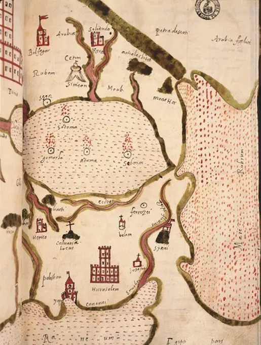
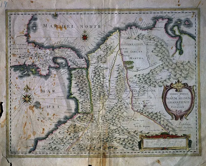
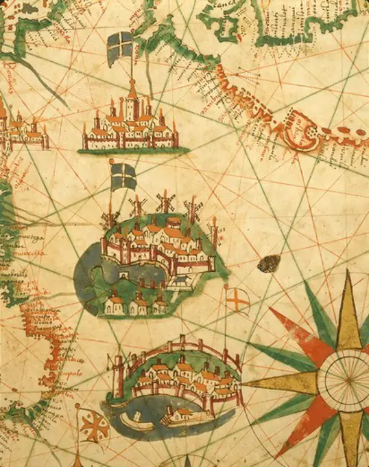
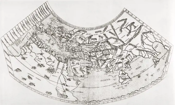
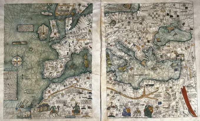
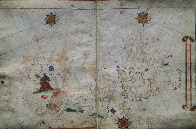
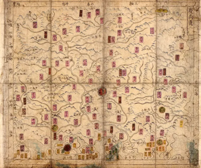
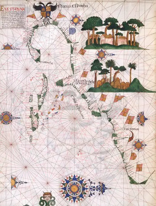
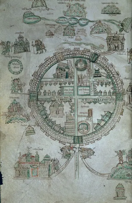
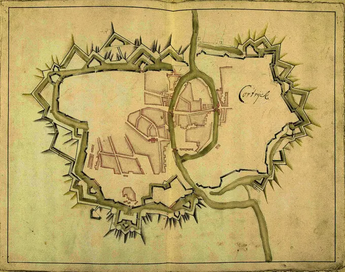
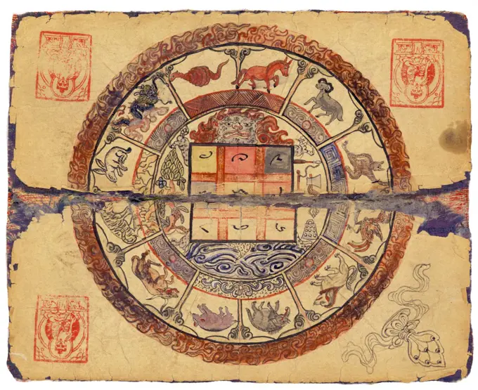
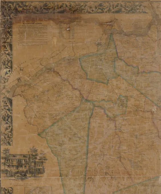
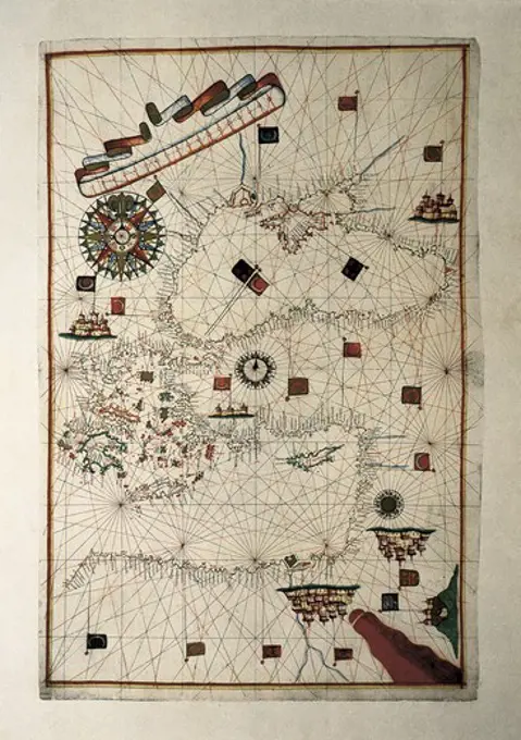
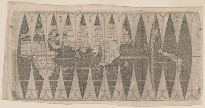
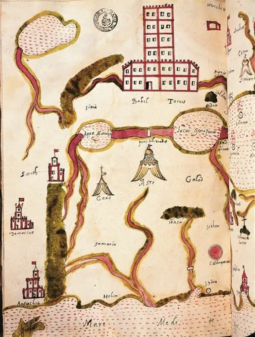
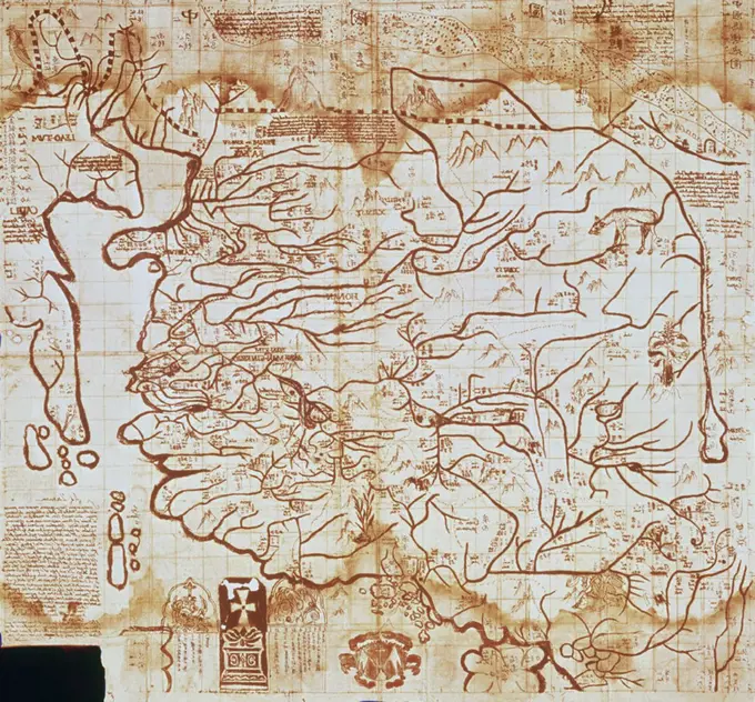
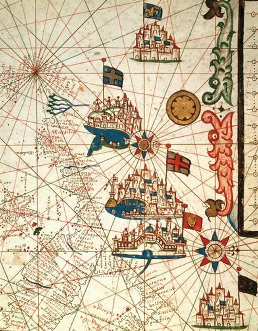
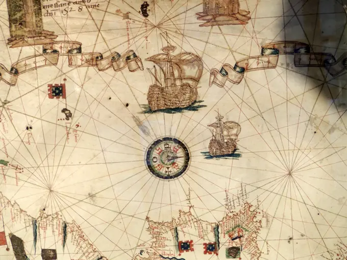
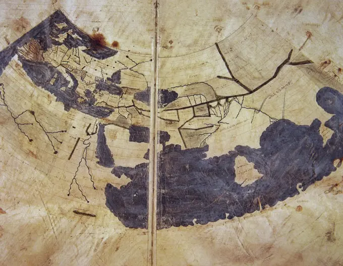
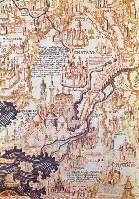
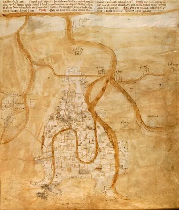
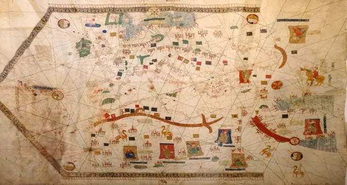
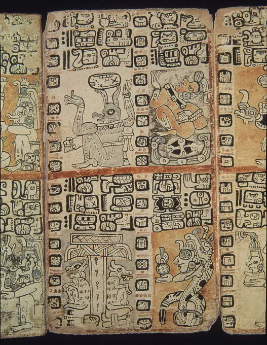
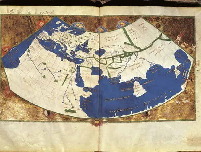
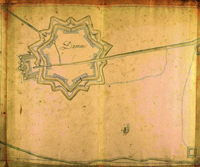
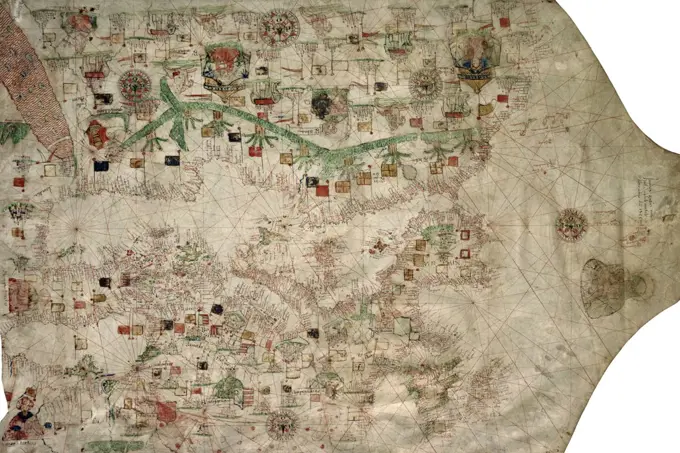
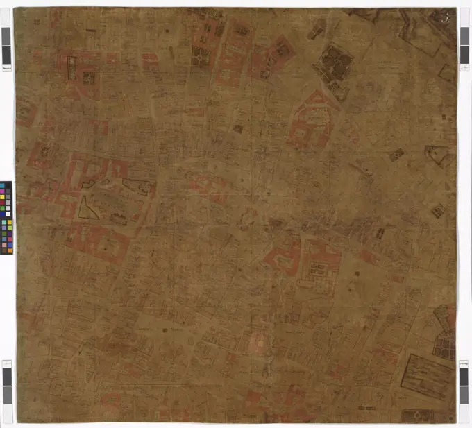
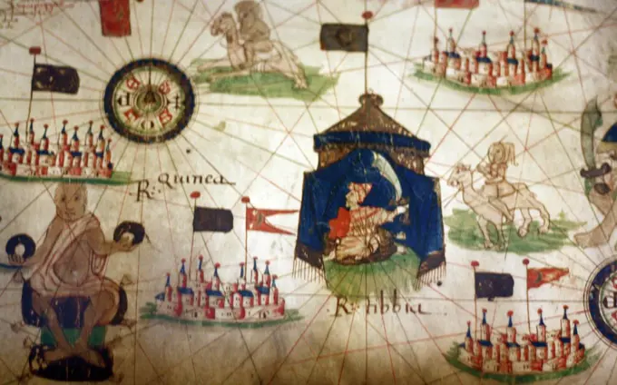
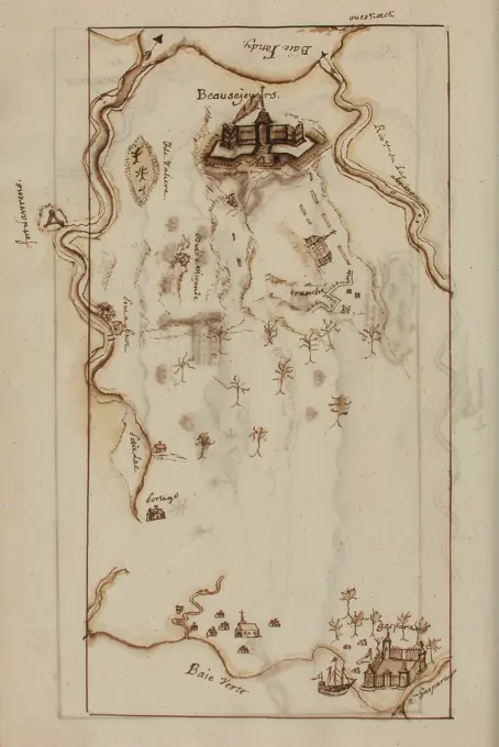
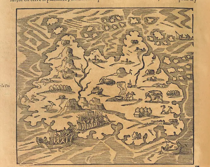
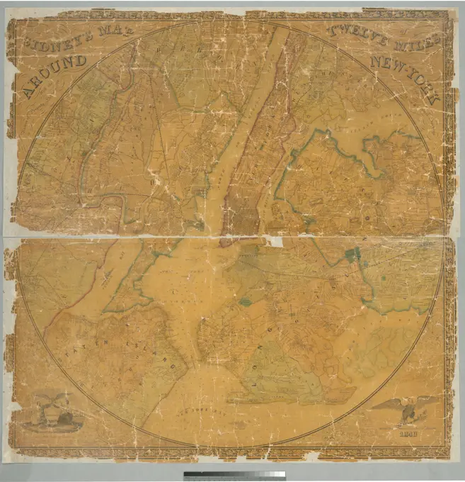
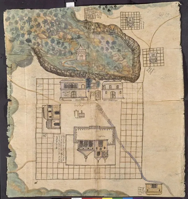
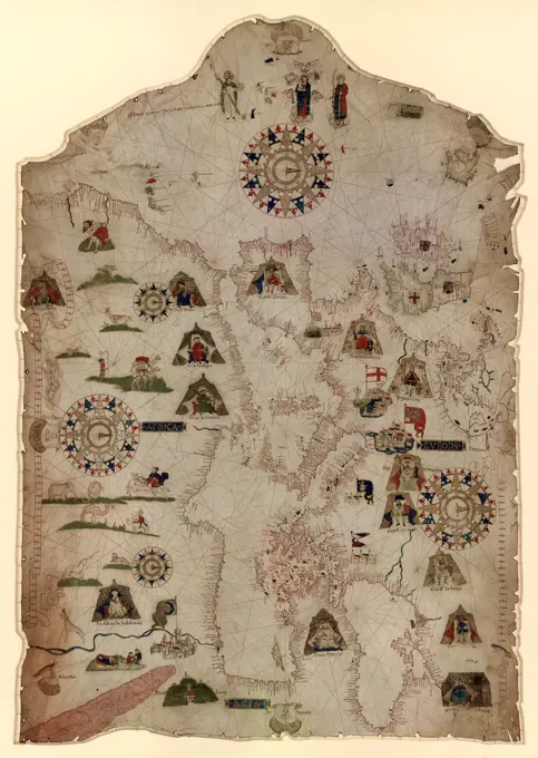
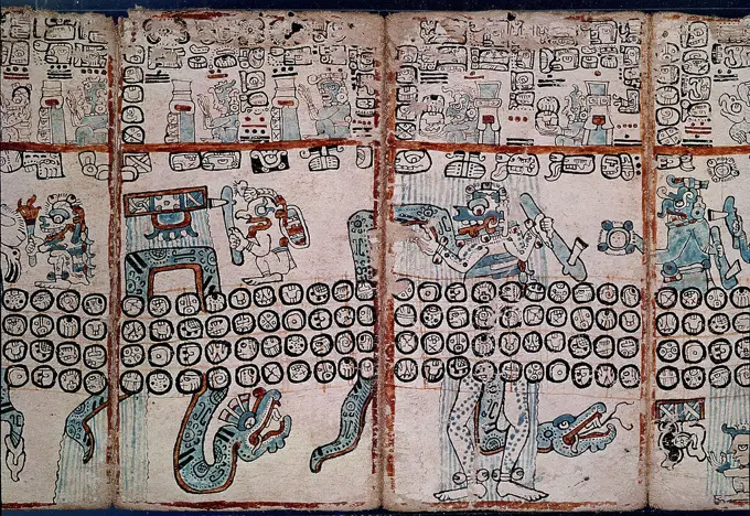
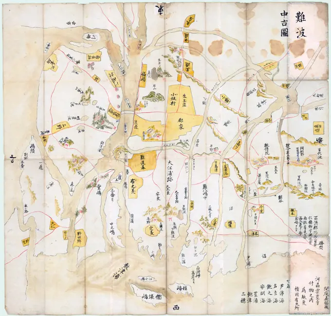
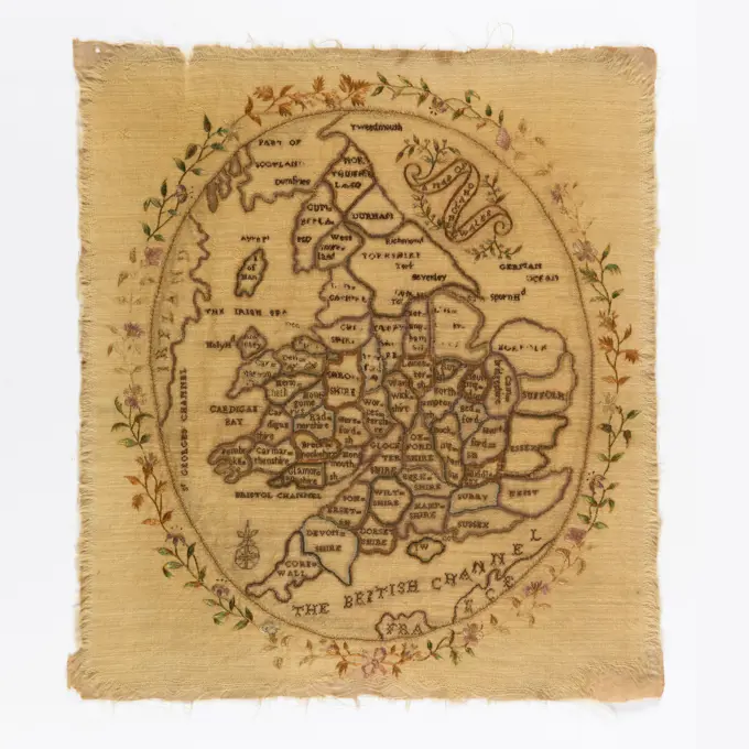
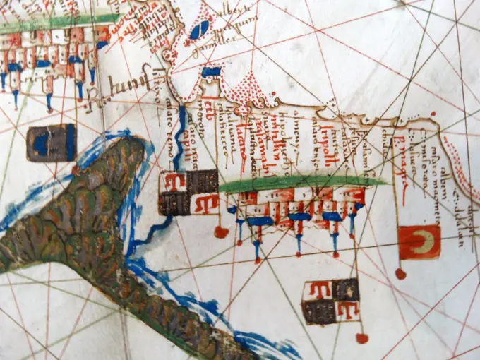
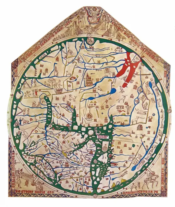
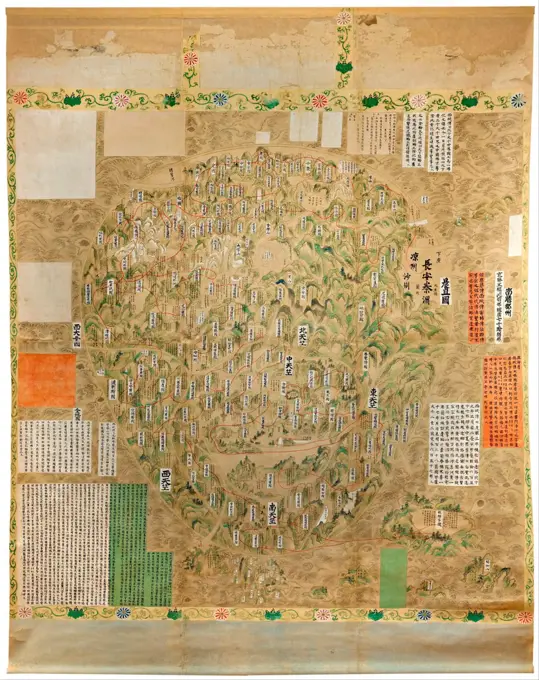
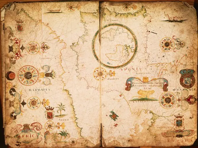
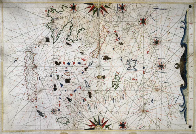
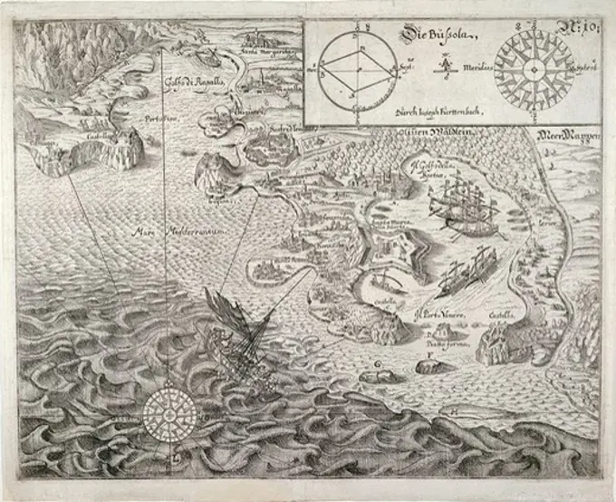
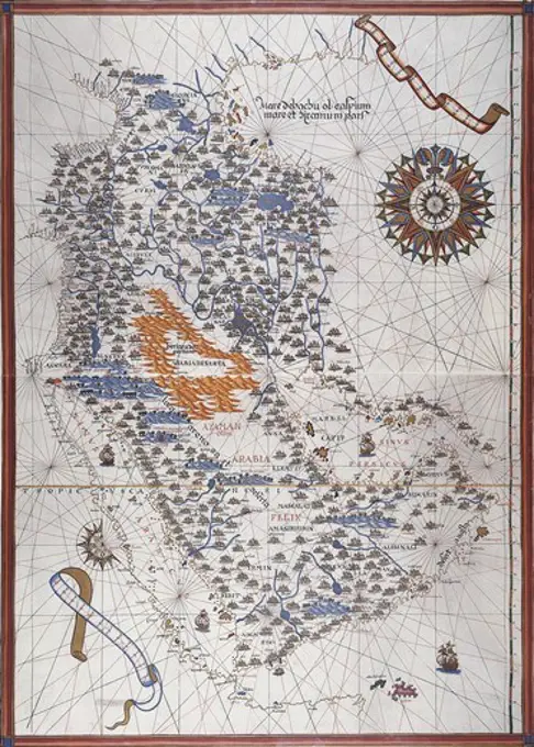
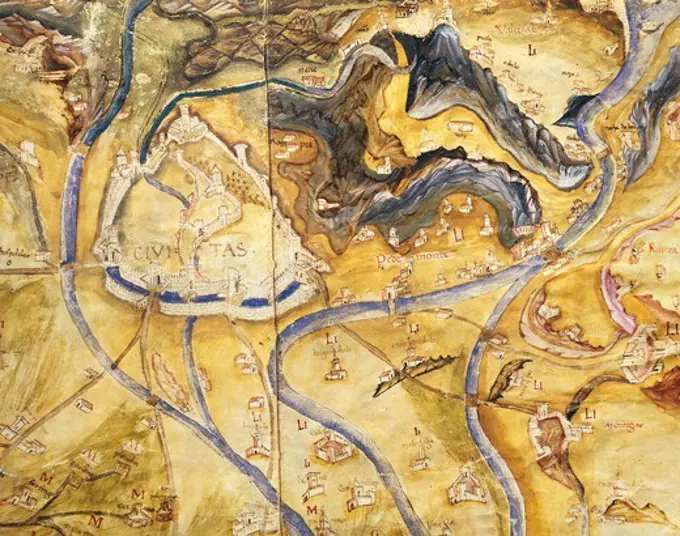
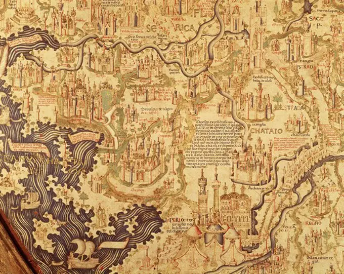
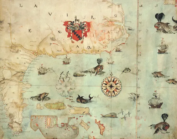
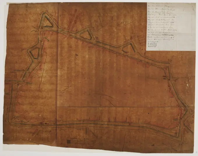
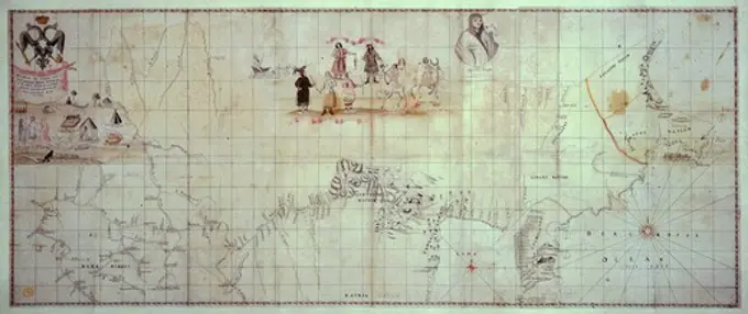
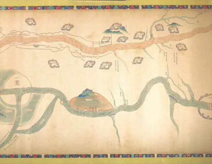
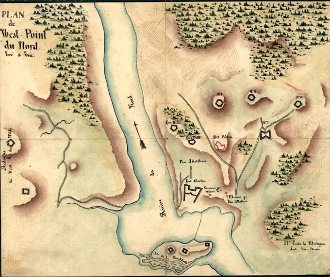
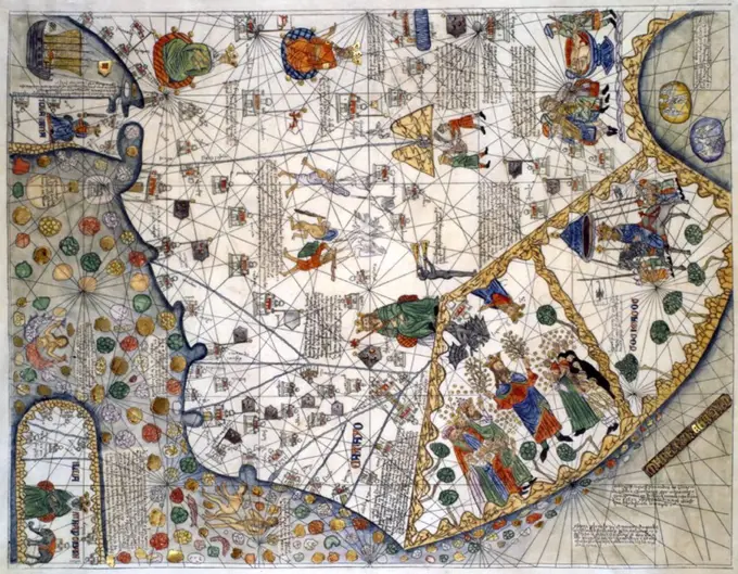
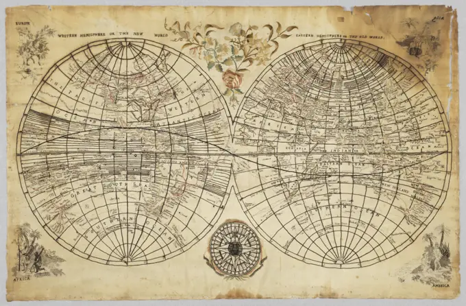
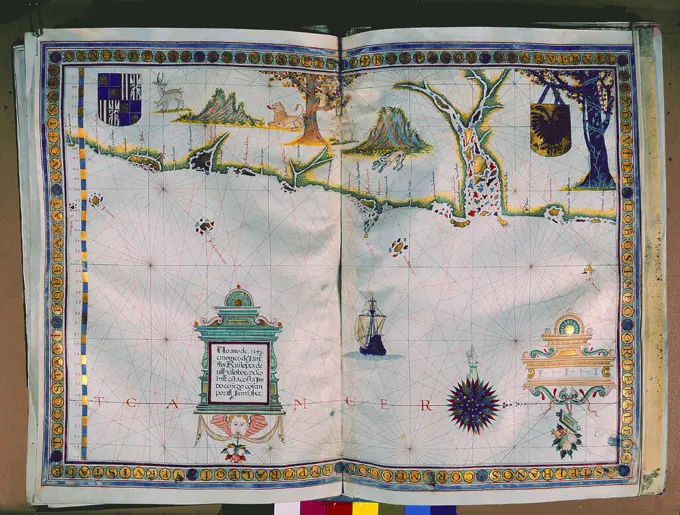
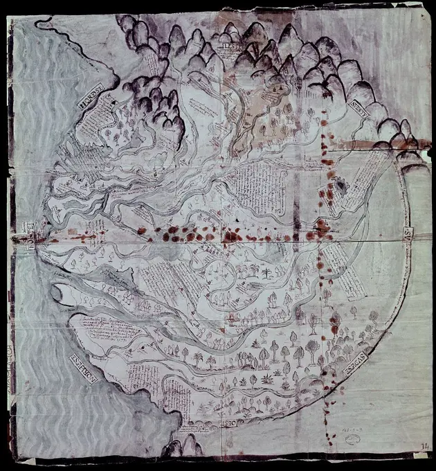
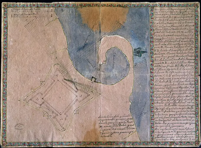
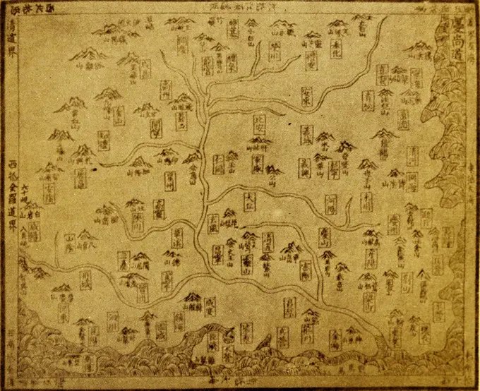
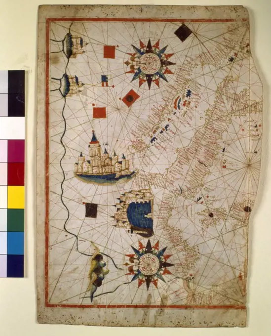
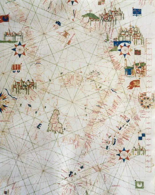
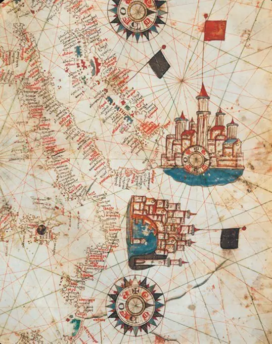
An assortment of detailed 16th and 17th-century maps, showcasing cartography of the Middle East and the Americas with intricate illustrations and annotations.

A portolan chart from 1492, the oldest known signed and dated chart of Portuguese origin. Cartography technologies greatly advanced during the Age of Discovery. Iberian mapmakers in particular focused on practical charts to use as navigational aids. Unlike Spanish maps which were considered a state secret, Portuguese maps were used by other countries, and Portuguese cartographers drew upon the skill and knowledge of other cultures, notably Islamic, as well.