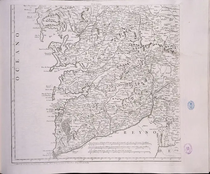
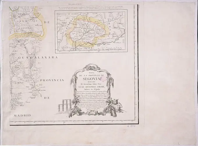
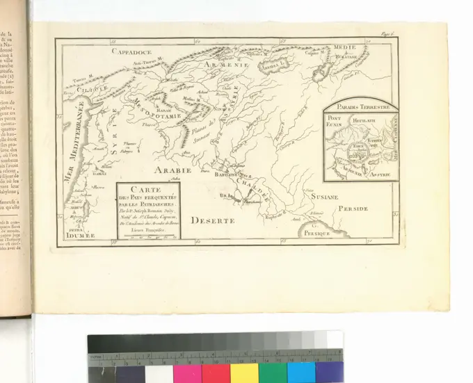
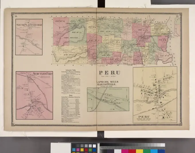
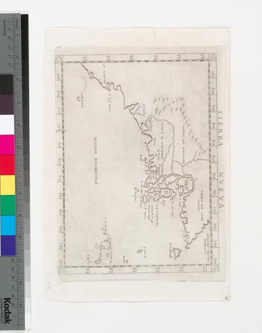
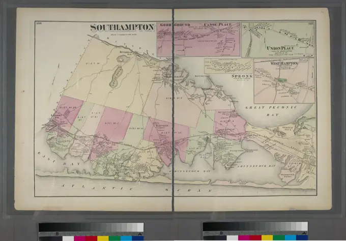
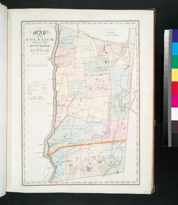
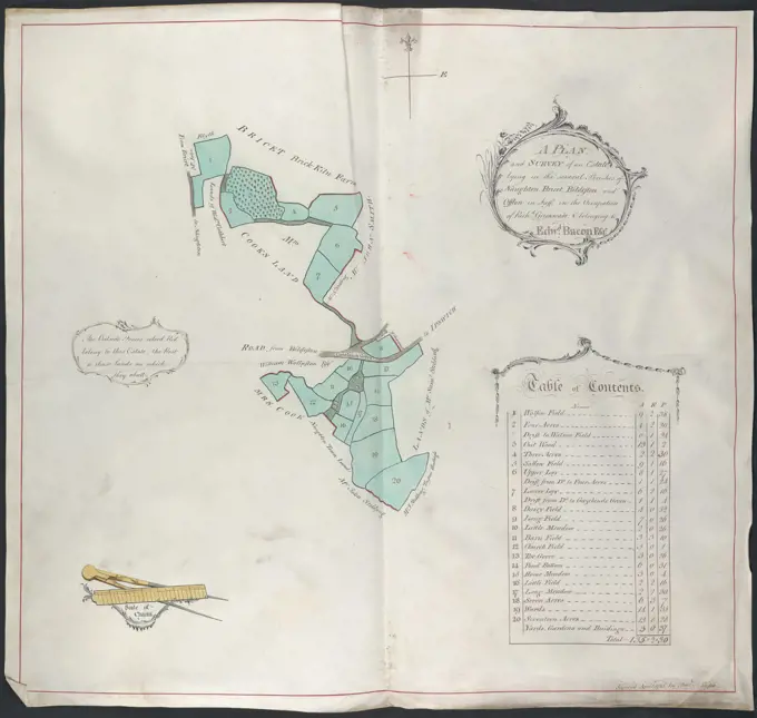
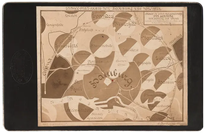
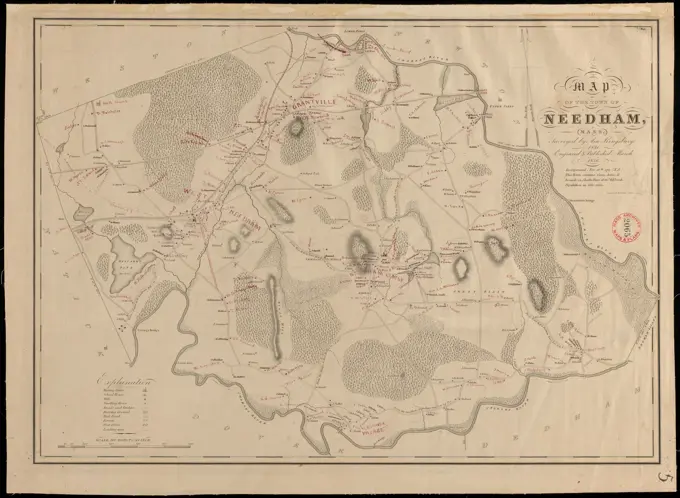
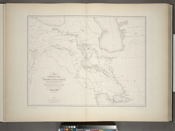
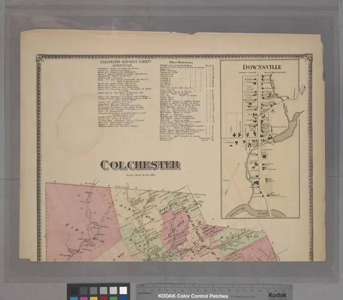
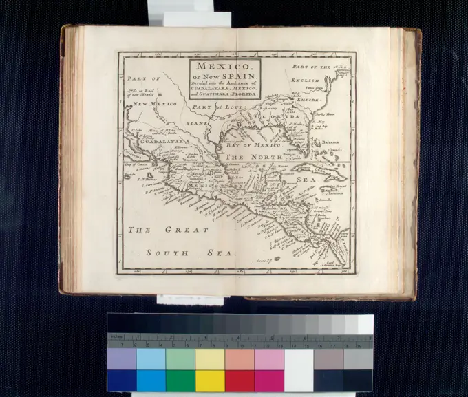
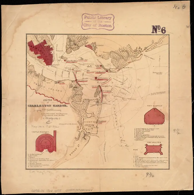
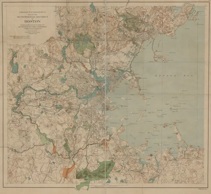
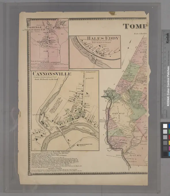
Historical Maps Collection
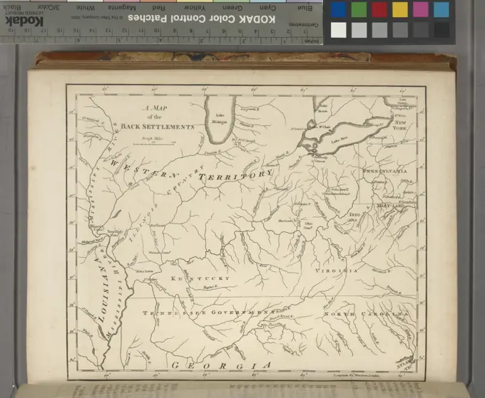
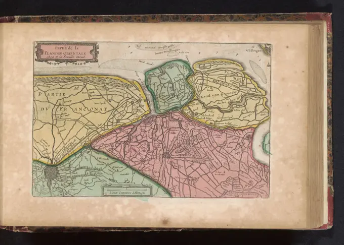
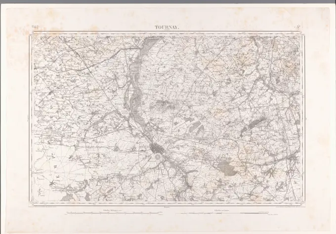
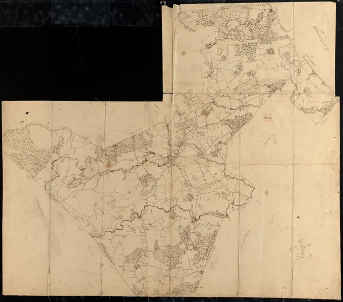
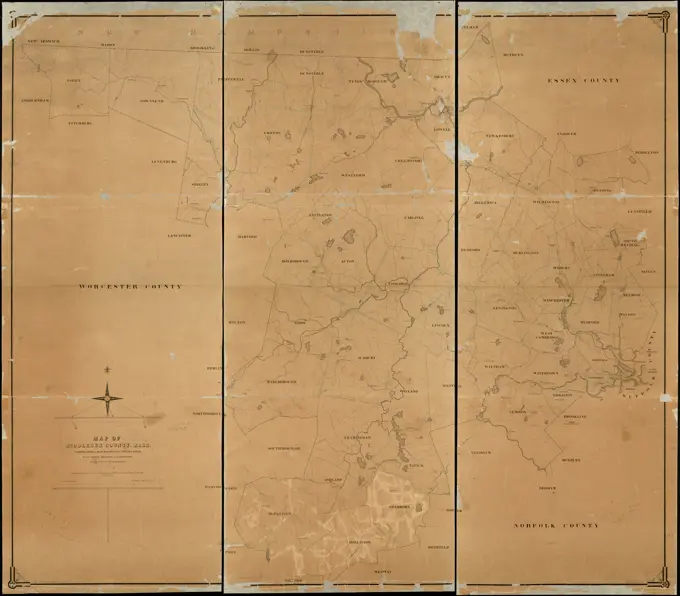
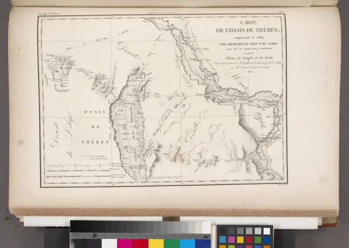
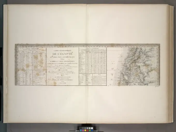
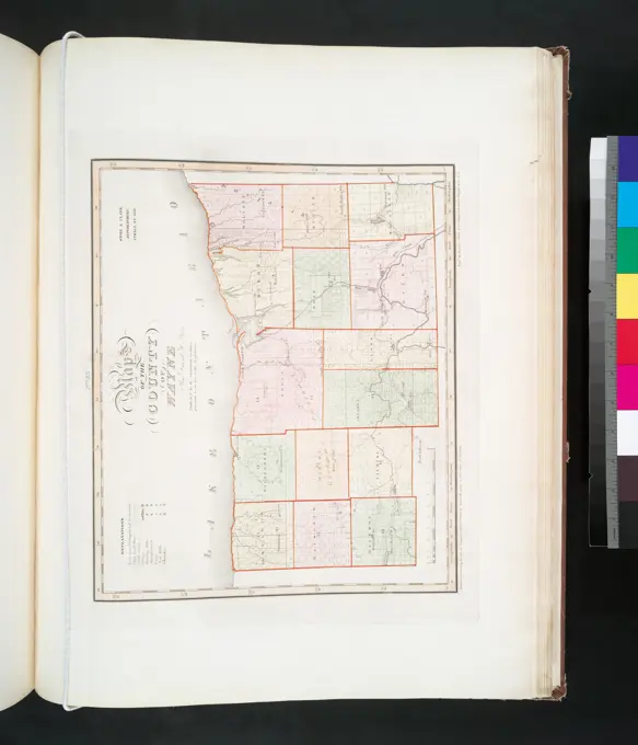
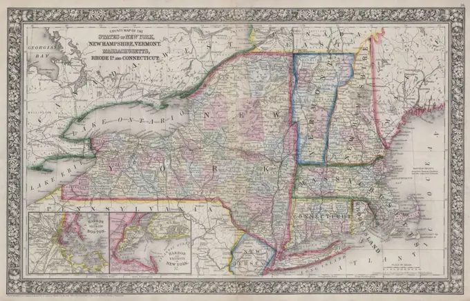
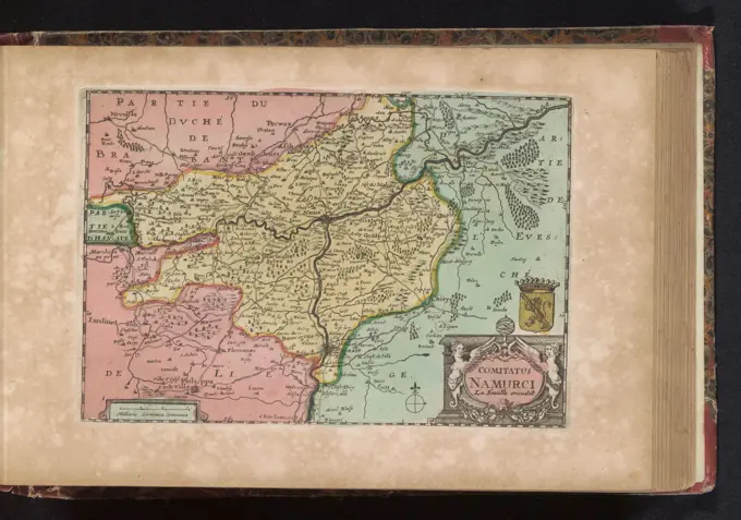
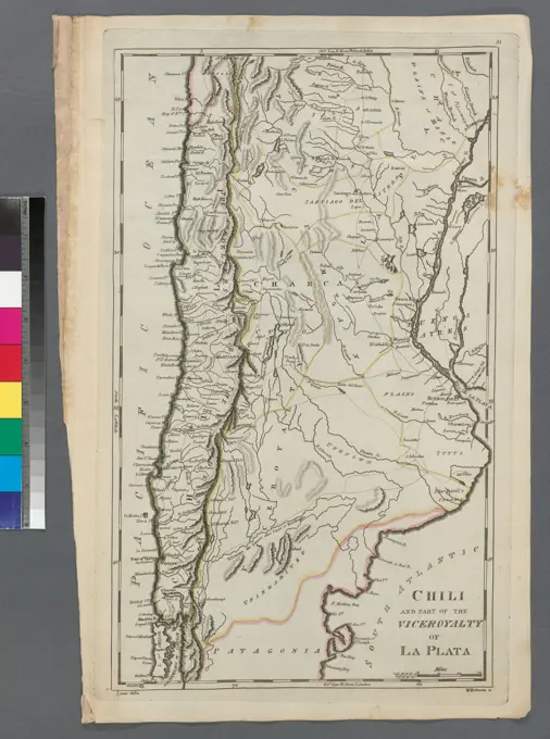
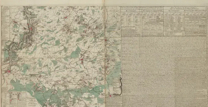
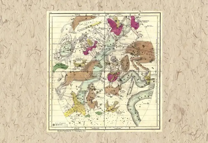
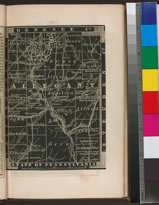
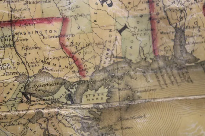
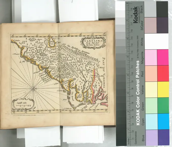
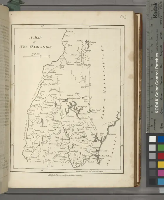
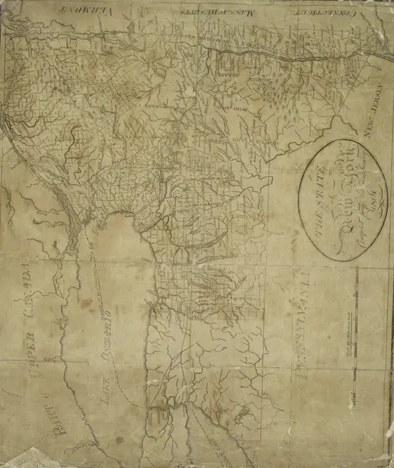
A collection of various historical maps depicting regions in Asia and the United States. Detailed cartography in black and white with geographical highlights.
A collection of various historical maps depicting regions in Asia and the United States. Detailed cartography in black and white with geographical highlights.