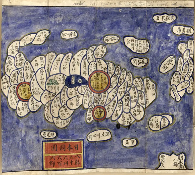
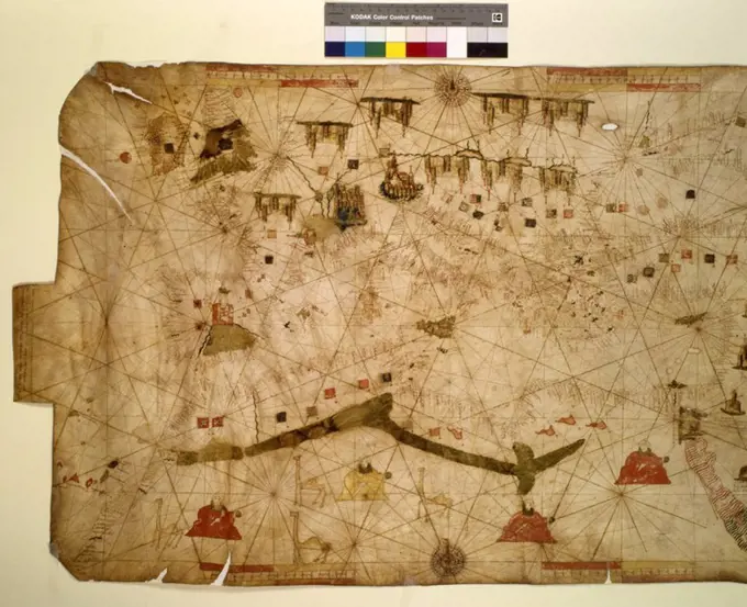
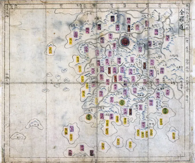
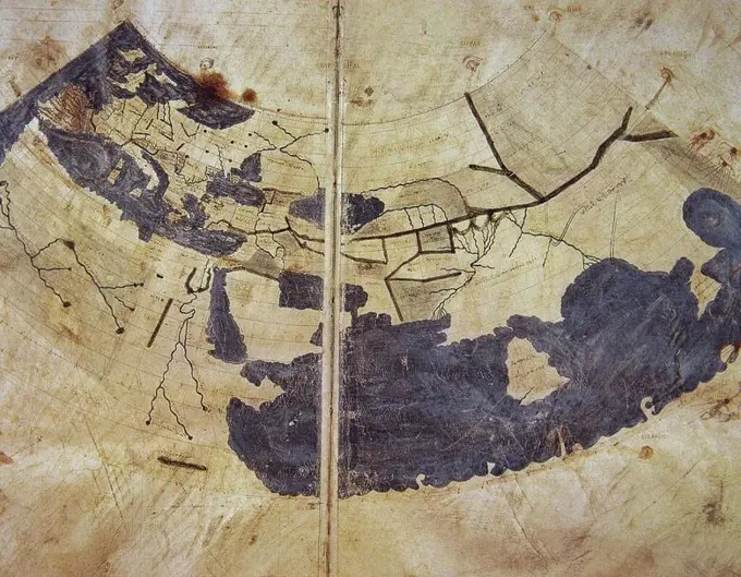
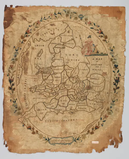
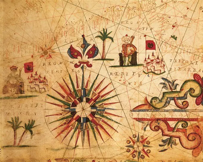
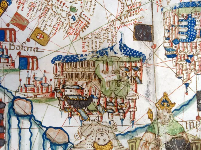
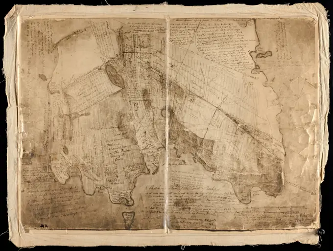
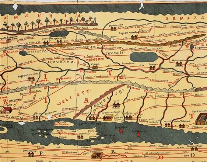
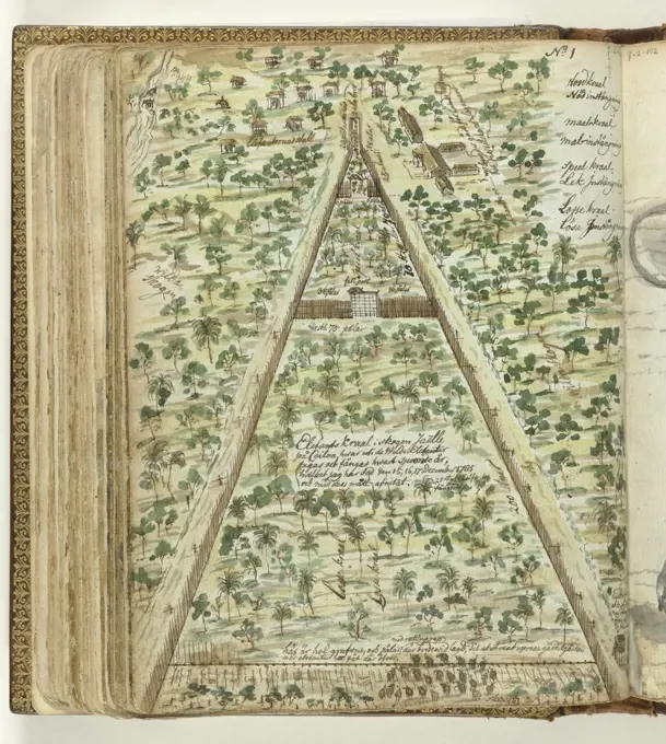
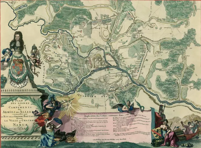
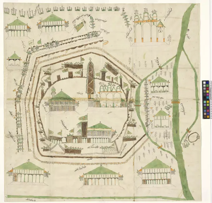
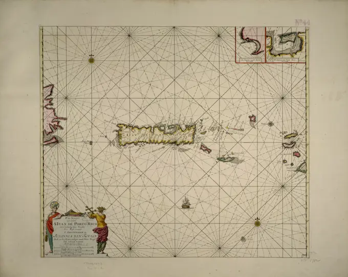
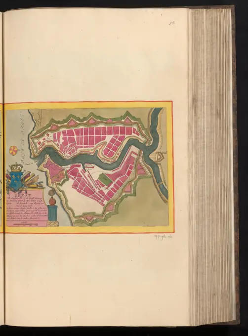
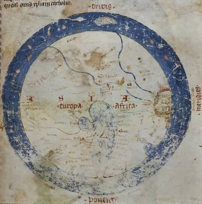
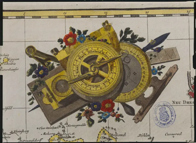
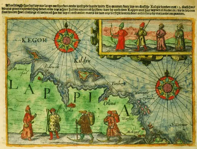
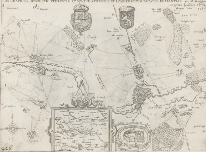
Historical Maritime Maps

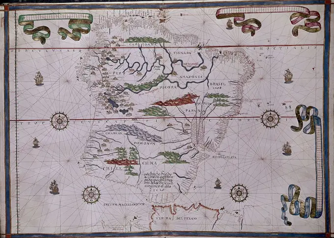
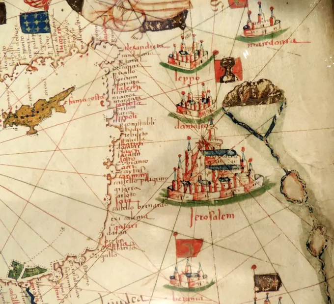
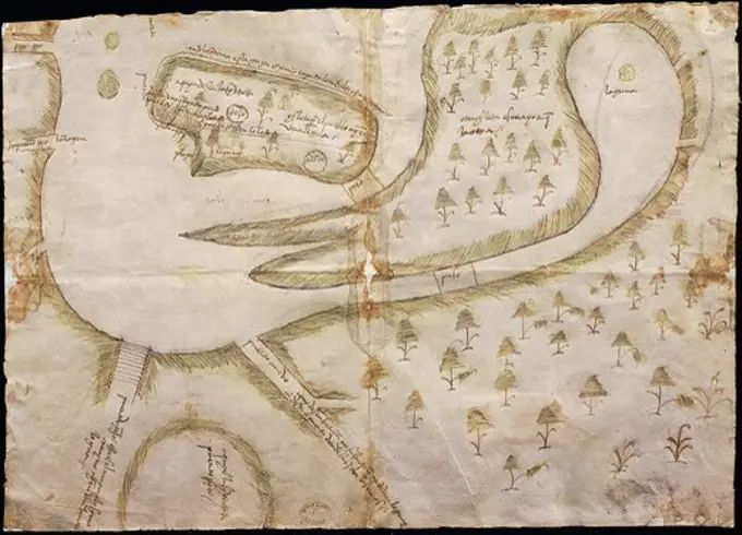
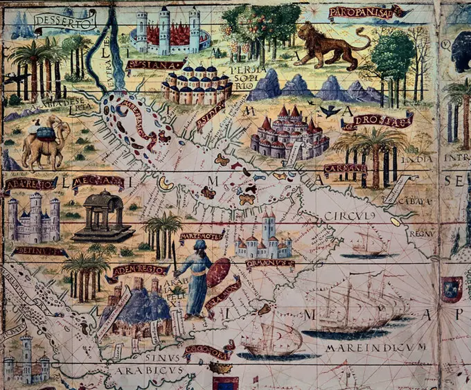
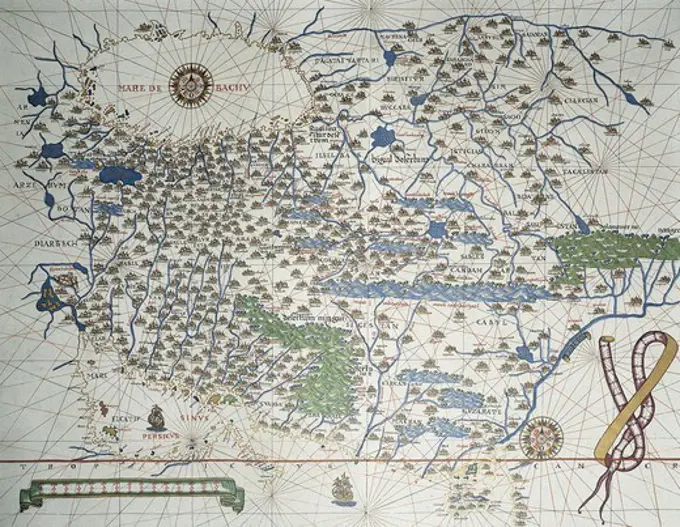
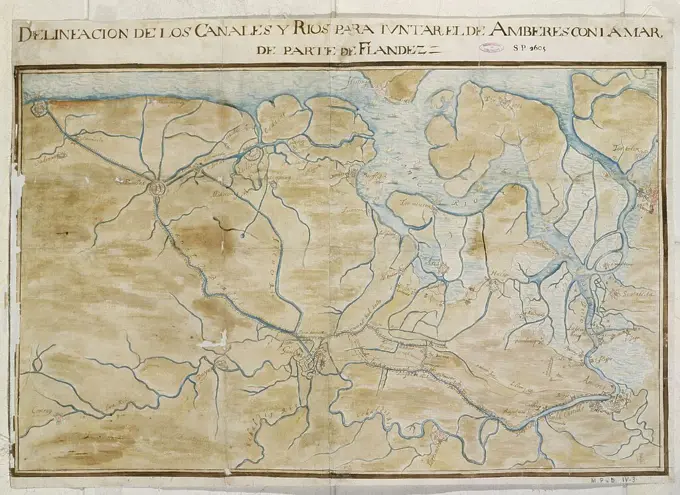
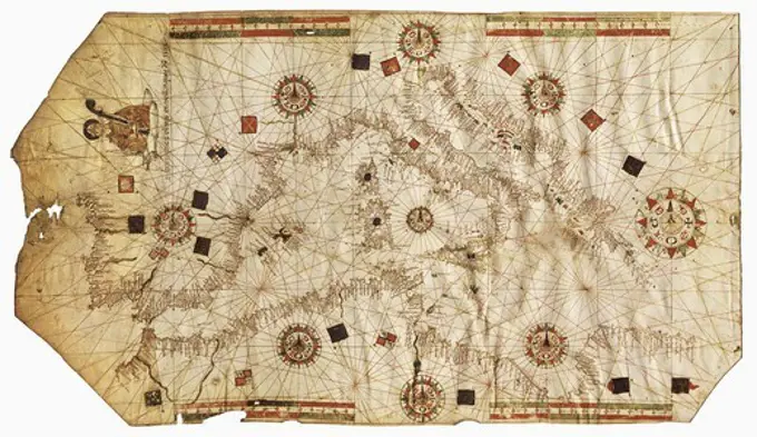
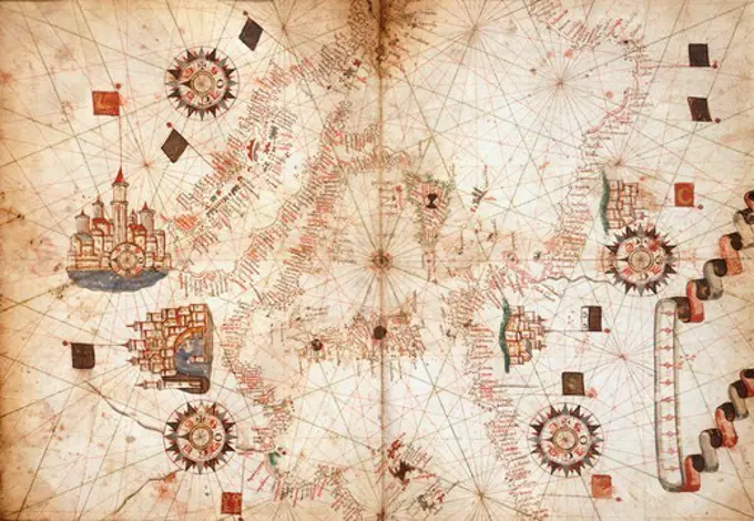
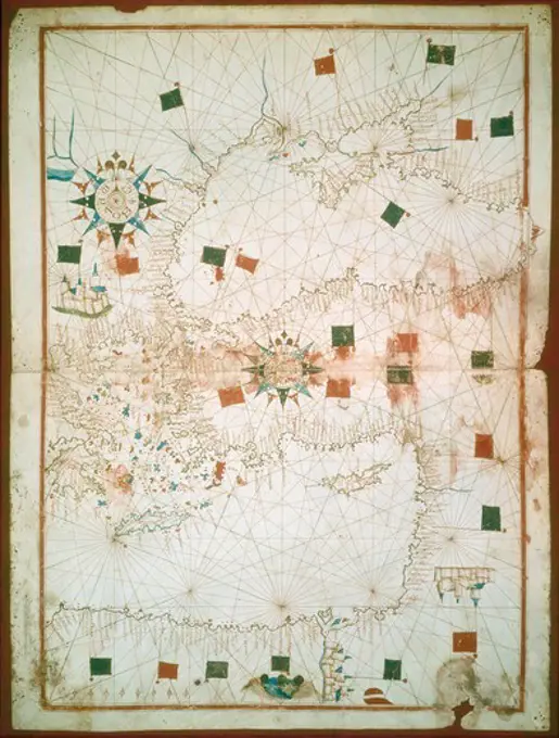
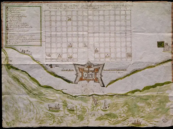
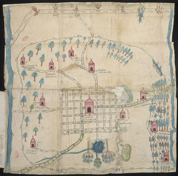
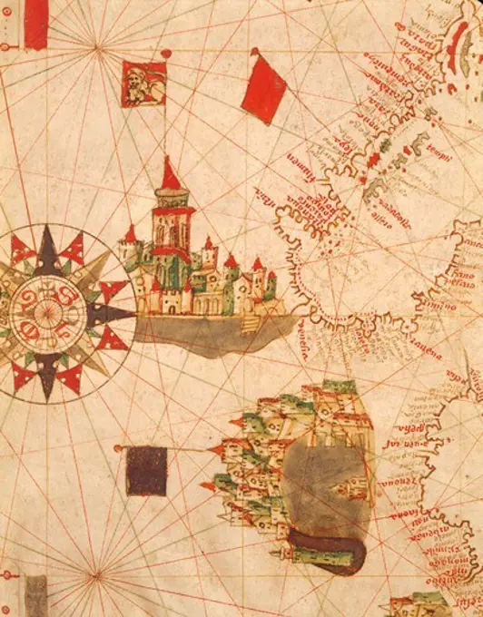
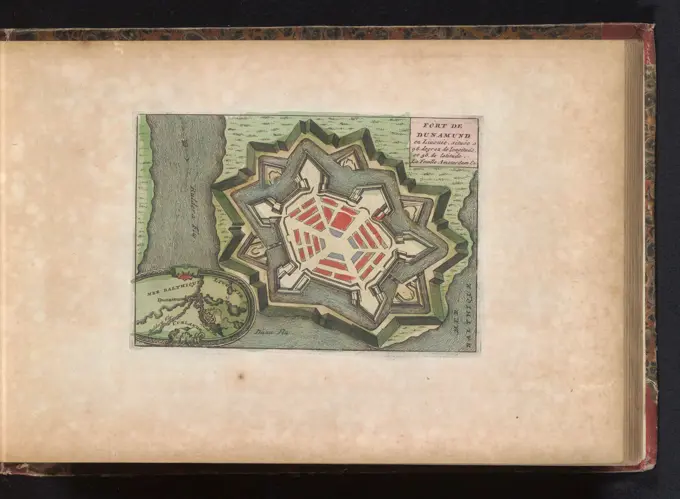
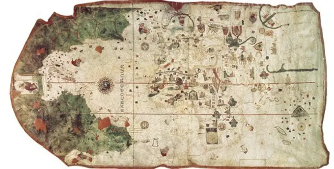
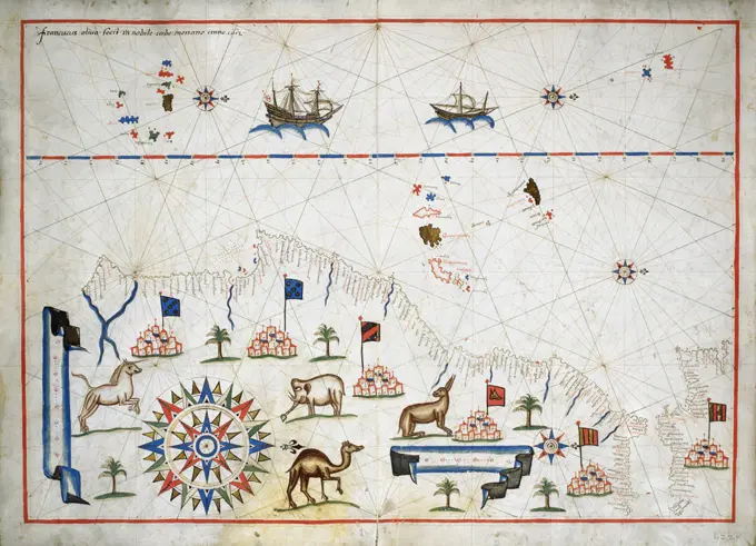
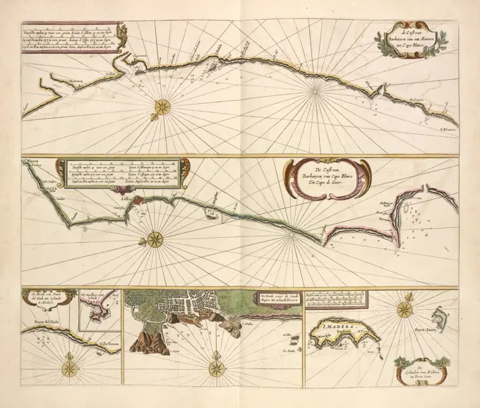
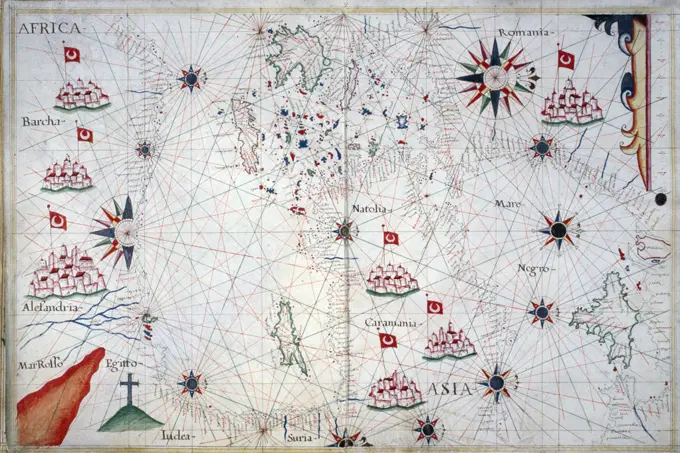
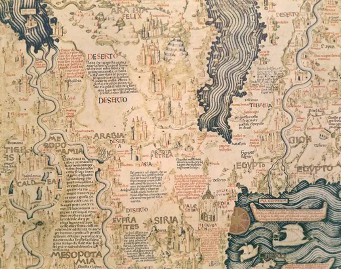
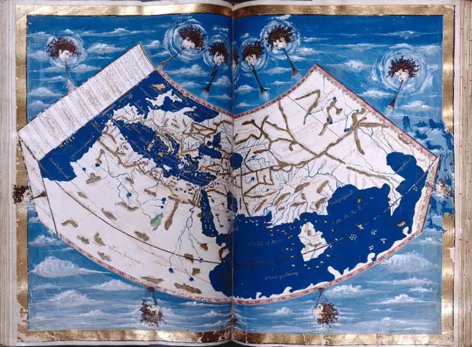
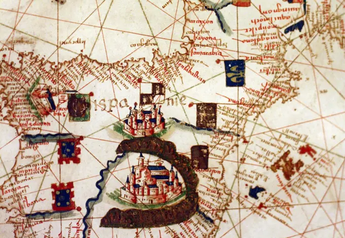
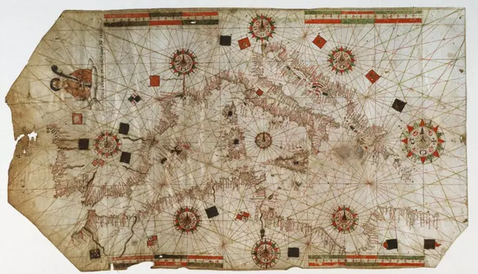
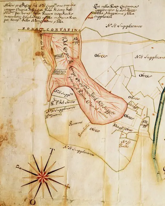
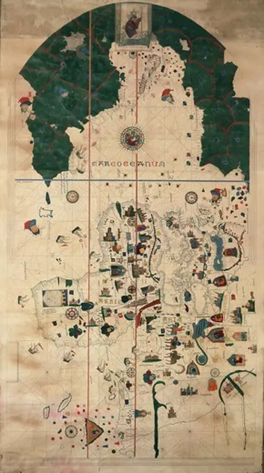
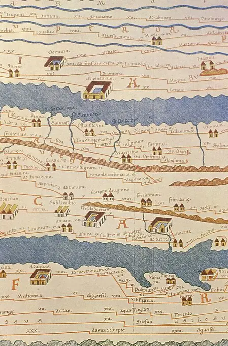
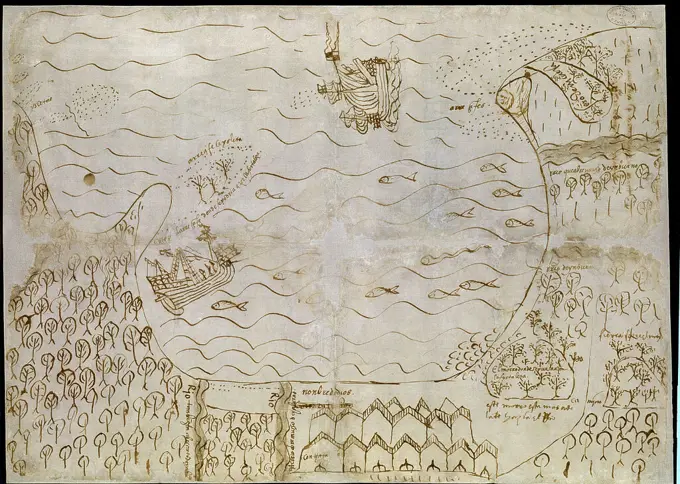
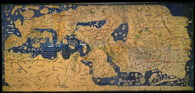
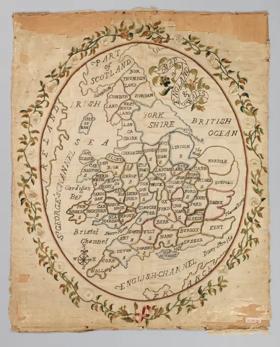
A collection of vintage maritime maps from the 16th to 18th centuries, showcasing detailed coastlines, cities, and navigation routes with intricate designs.

Cologne, Stamp, Gerard, Hogenberg, French, Series 11: Varia Foreign Events, 1571-1631, Geographica descriptio territorii et dominii Kerpensis et Lommerschum ducatus Brabantiae, Map of Kerpen and Lommersum, 1587, Map of the area around the cities of Kerpen and Lommersum in the Duchy of Brabant, 1587. Above the coats of arms of the Spanish king and the Duchy of Brabant. At the bottom two inserts with a map of the greater area and the castle of Kerpen. Numbered (in pen): 226. The print is part of an album., print, prent, nieuwsprent, kaart, albumblad, prints, prenten, Frederik Muller Historieplaten, height 210 mm, width 285 mm, Dutch, German, 1540 - 1590, print maker, prentmaker, 1587 - 1587, fourth quarter 16th century, paper, papier, etching, etchings