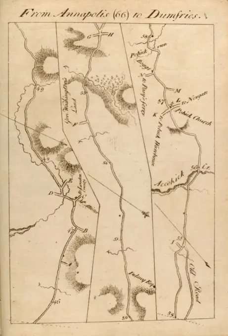
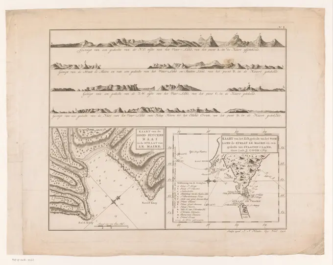
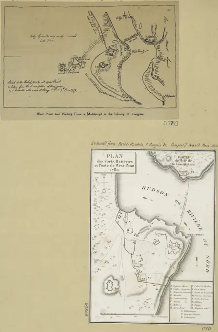
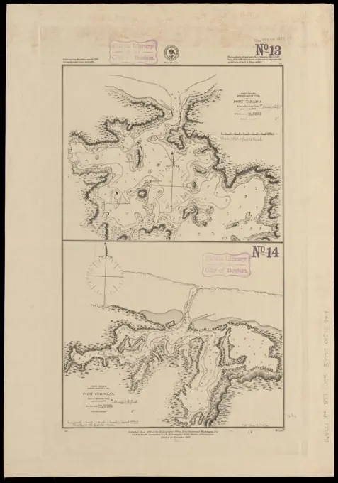
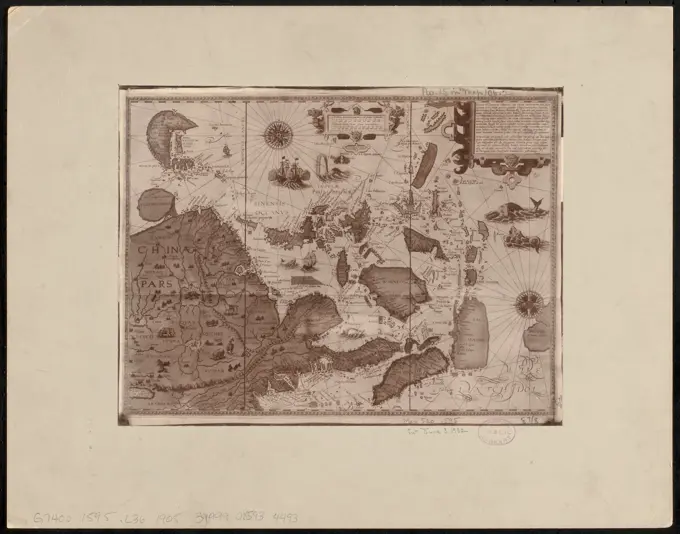
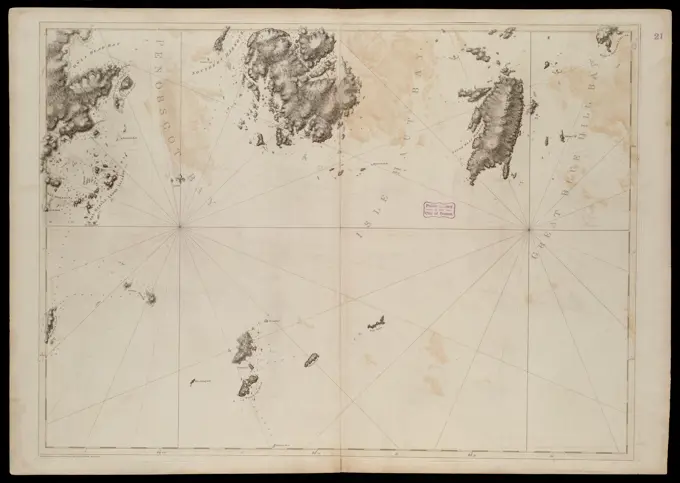
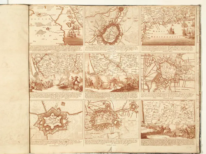
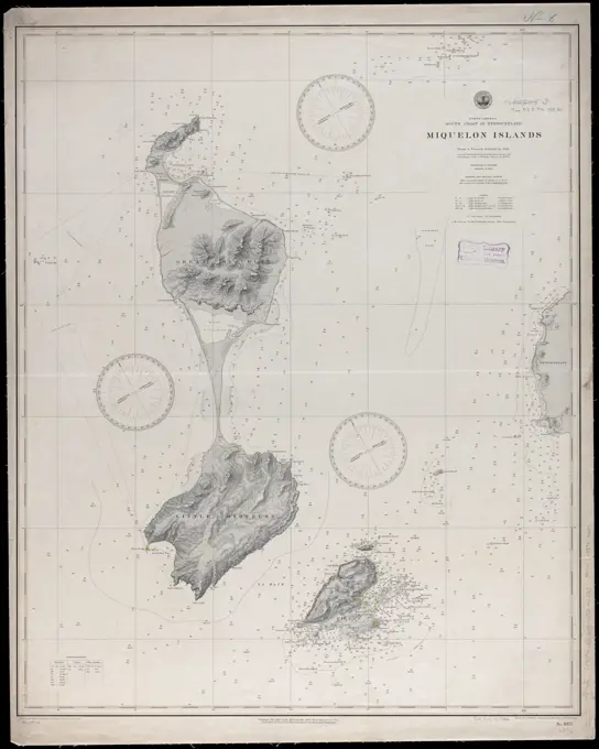
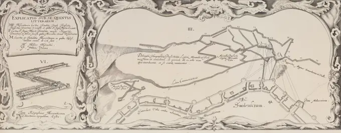
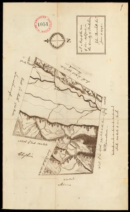
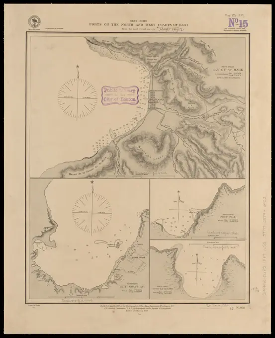
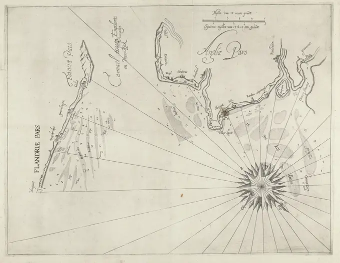
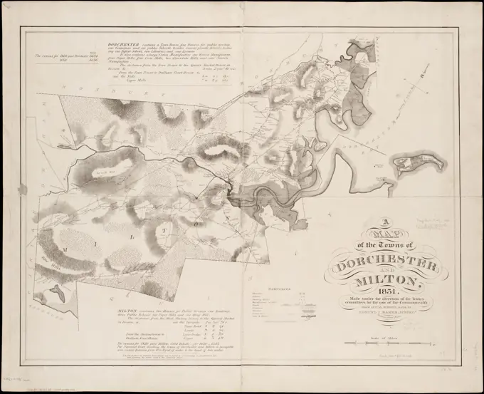
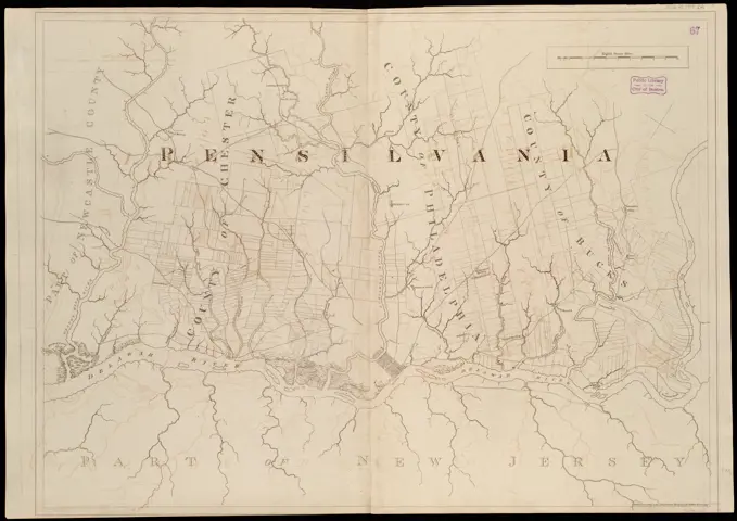
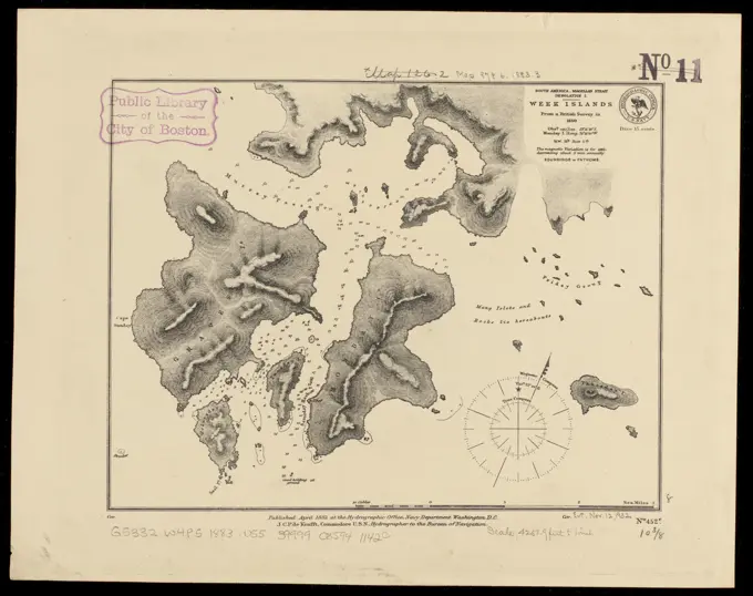
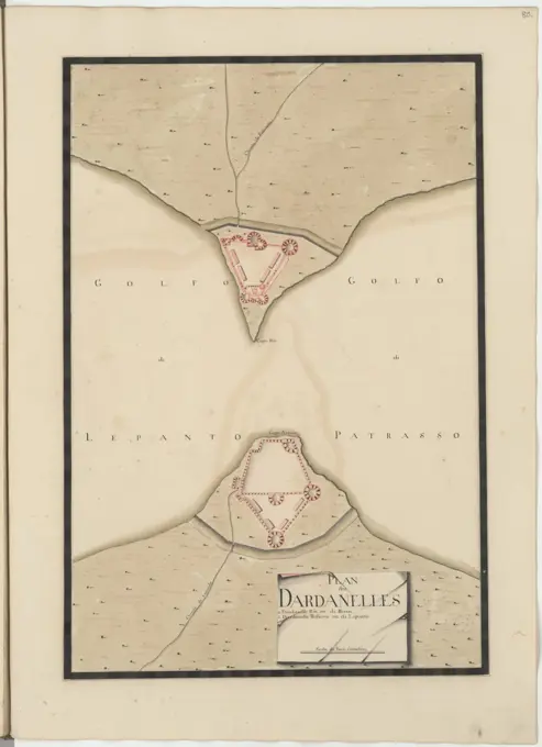
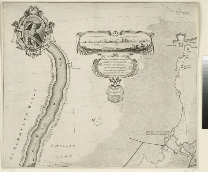
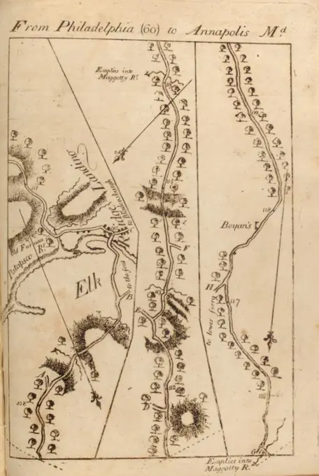
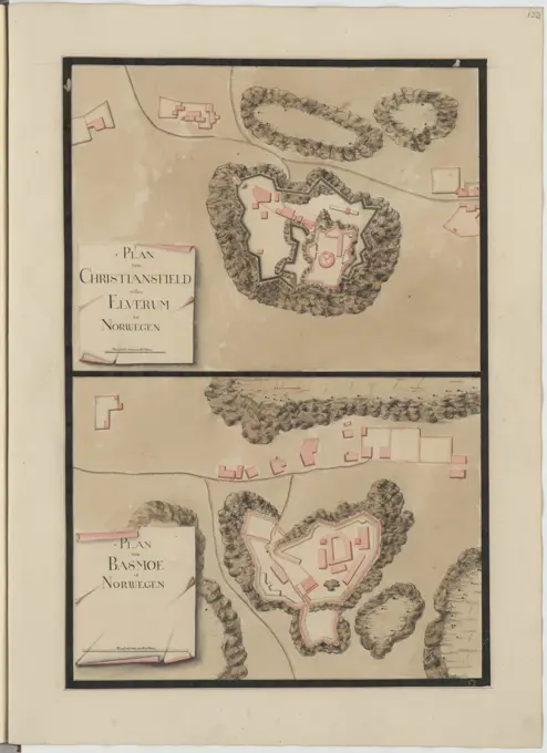
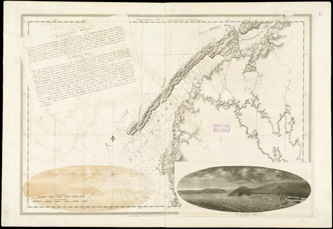
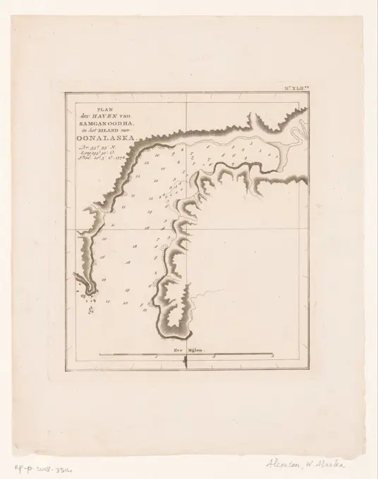
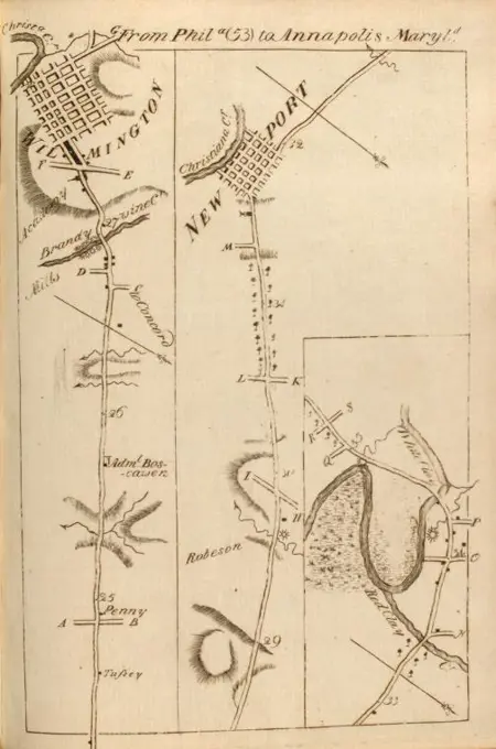
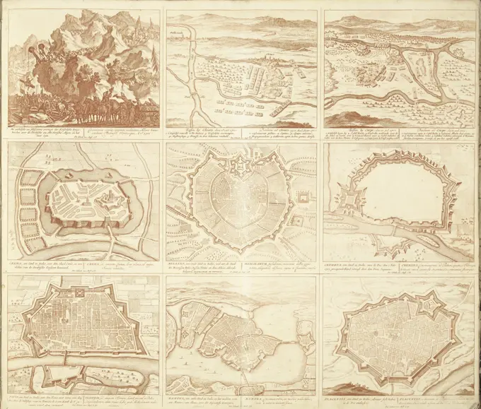
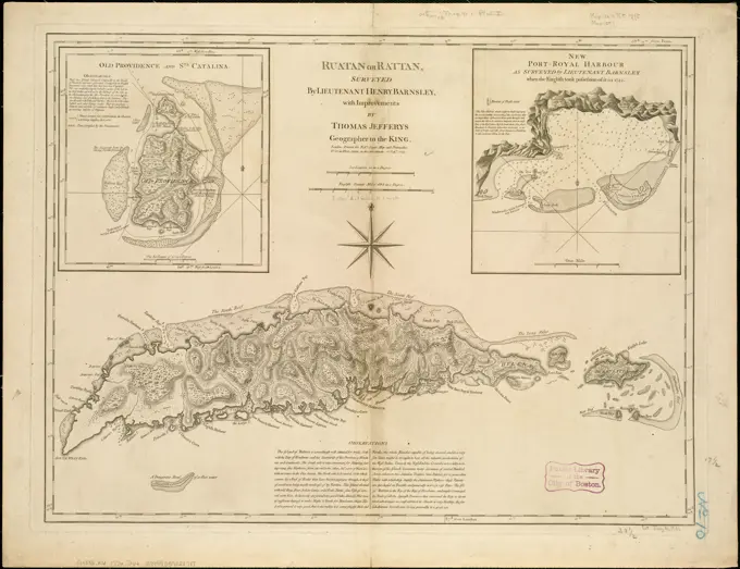
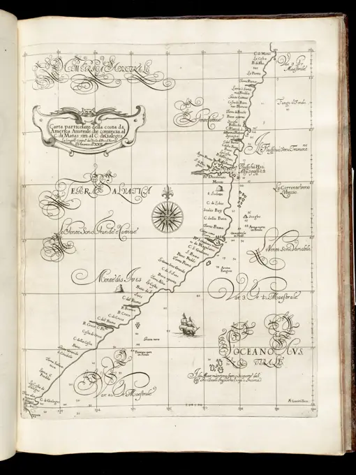
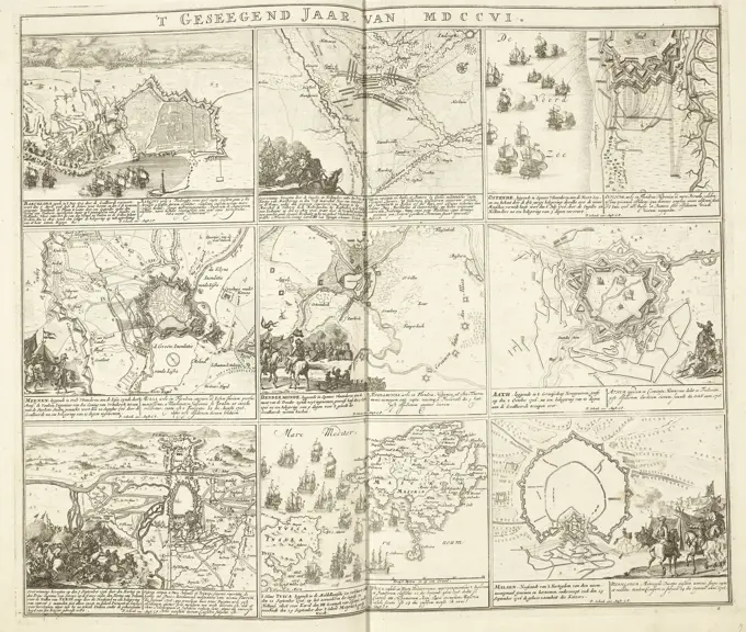
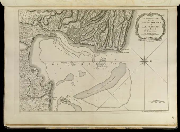
Historical Maritime Maps

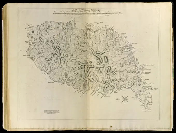
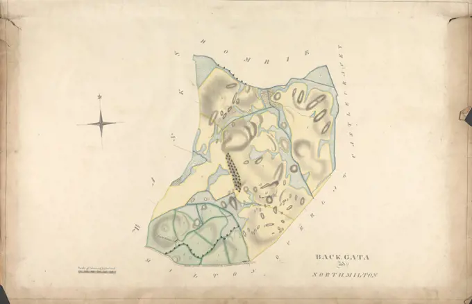
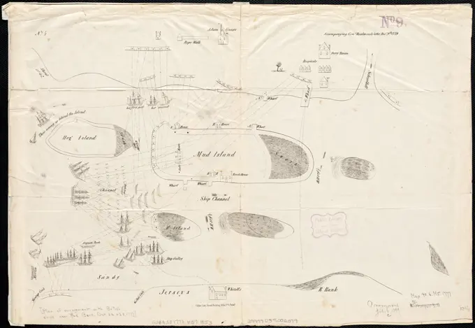
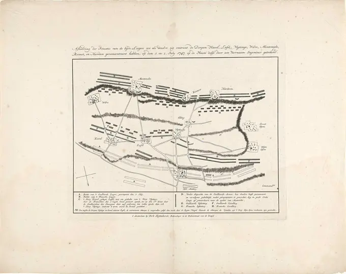
A collection of antique maps depicting various naval battles and expeditions, showcasing intricate engraving details and historical navigational routes.

An authentic plan of the town and harbour of Cap-Francois in the isle of St. Domingo. Relief shown by hachures. Depths shown by soundings. Oriented with north to the right. Appears in Jefferys' General topography of North America and the West Indies. London: Printed for Robert Sayer, ... and Thomas Jefferys, 1768. Some place names in French.... , Haiti  , Nord  , Cap-Haïtien
An authentic plan of the town and harbour of Cap-Francois in the isle of St. Domingo. Relief shown by hachures. Depths shown by soundings. Oriented with north to the right. Appears in Jefferys' General topography of North America and the West Indies. London: Printed for Robert Sayer, ... and Thomas Jefferys, 1768. Some place names in French.... , Haiti , Nord , Cap-Haïtien