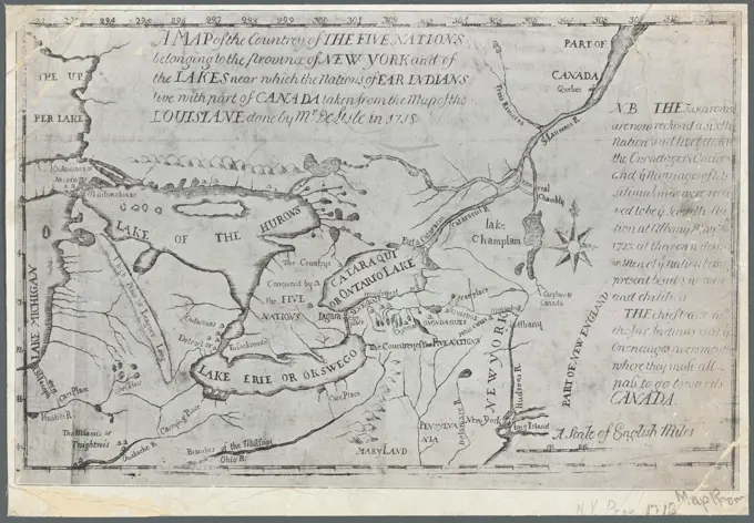
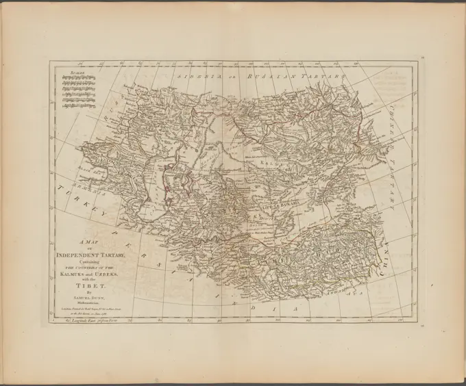
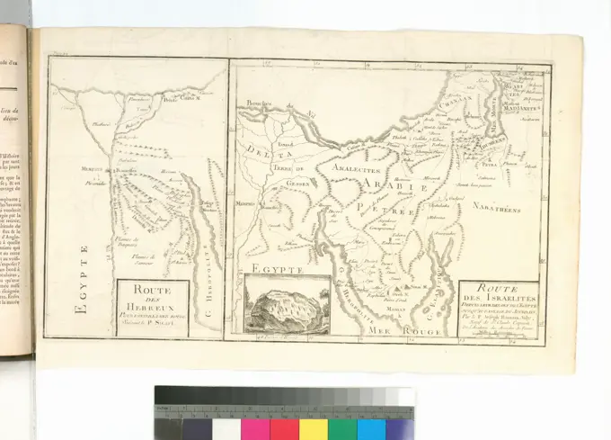
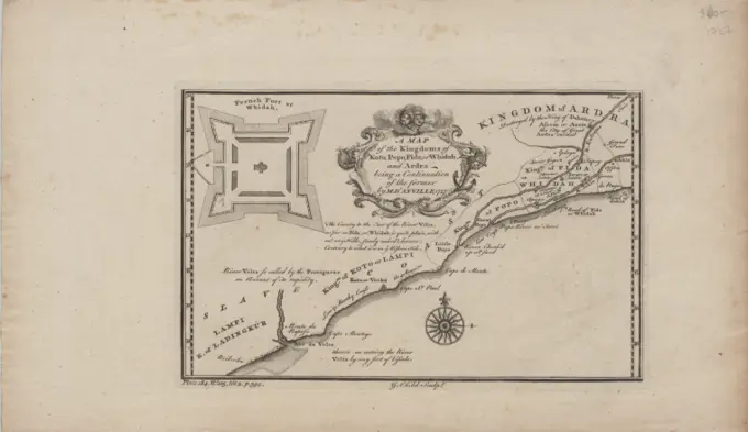
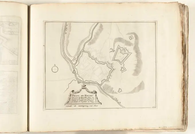
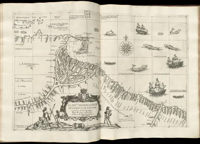
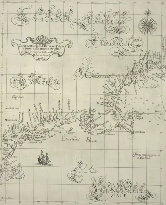
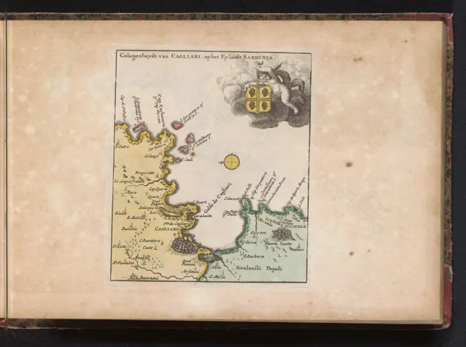
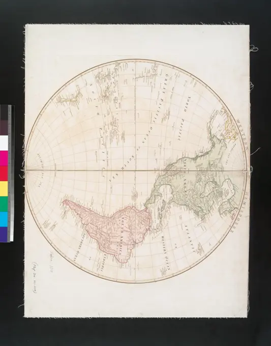
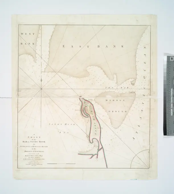
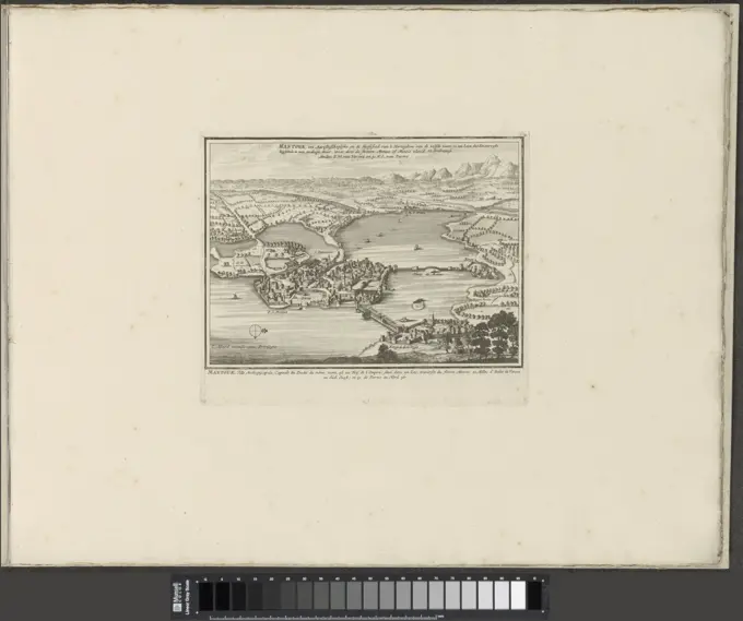
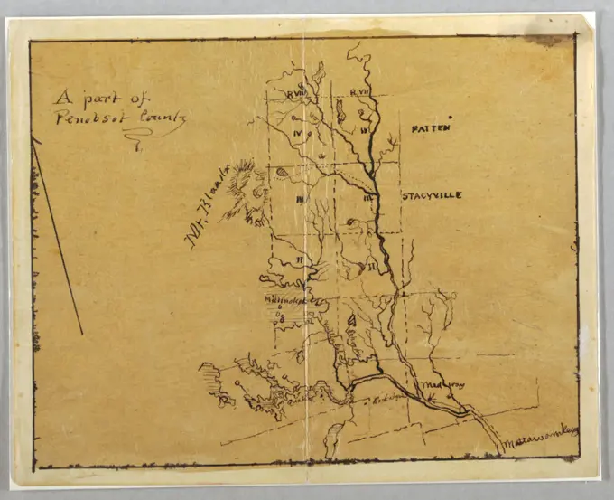
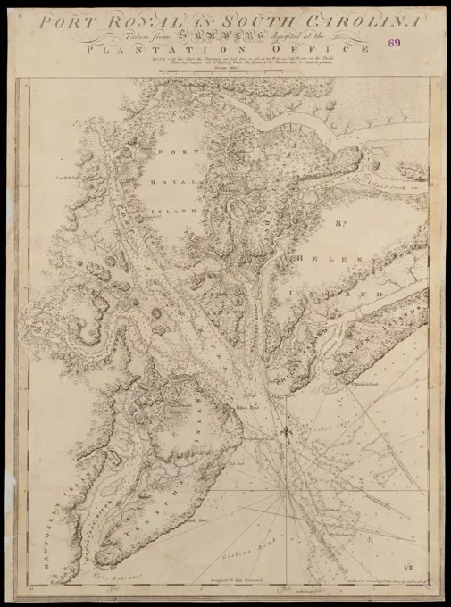
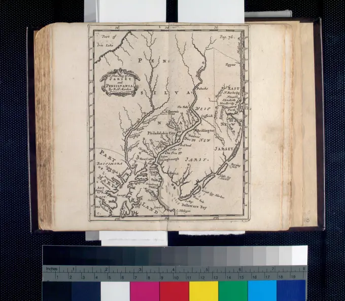
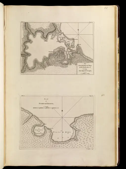
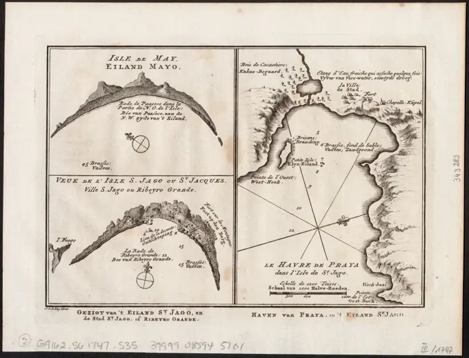
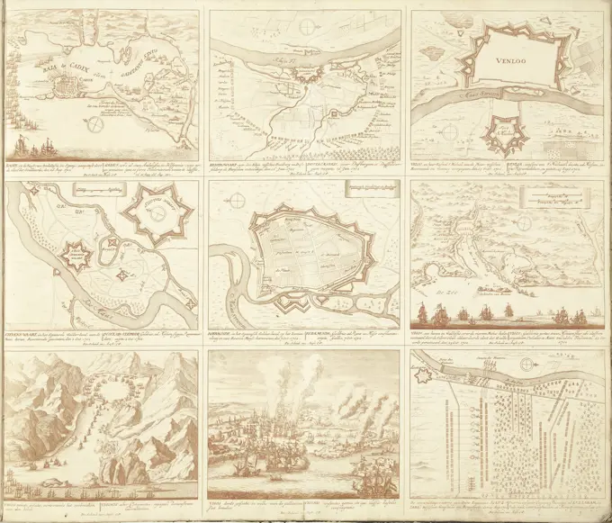
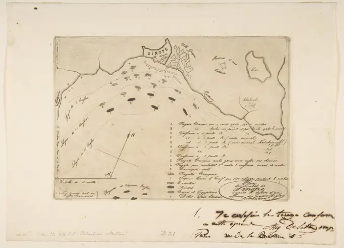
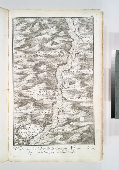
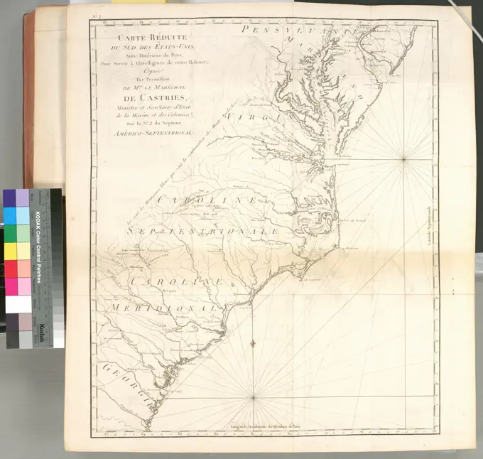
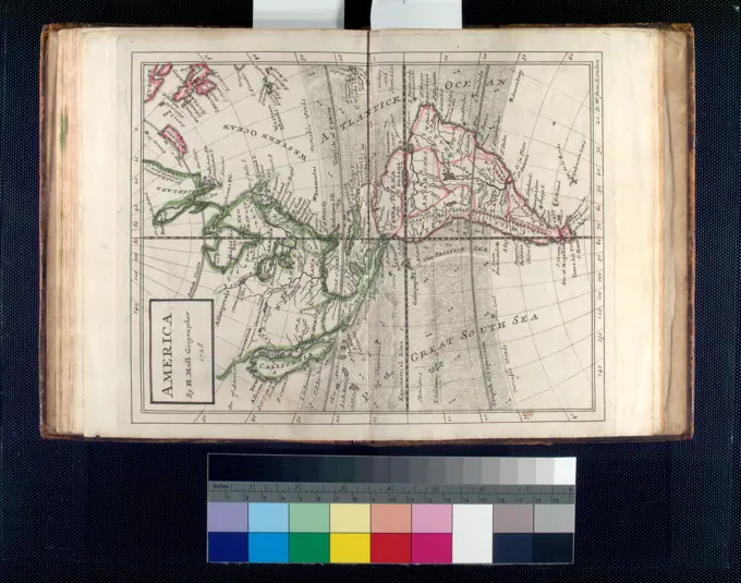
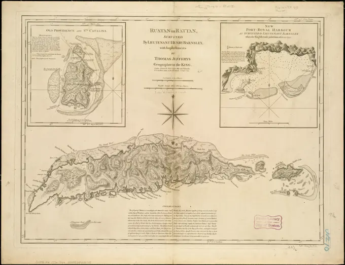
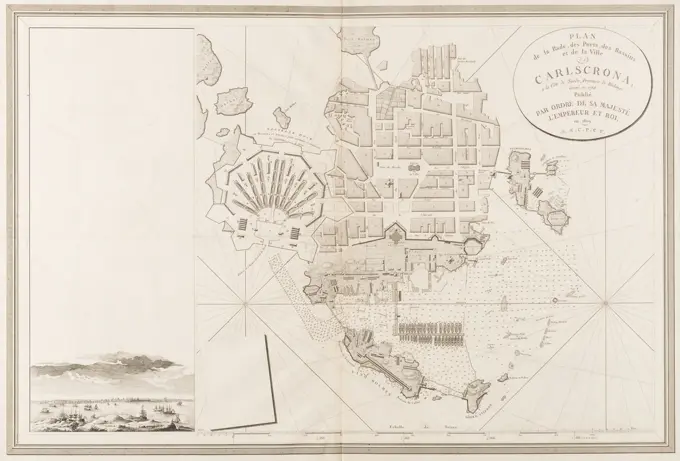
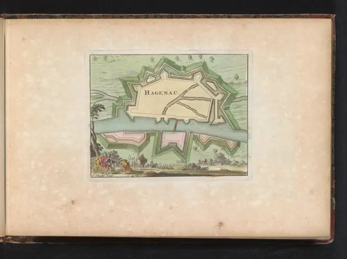
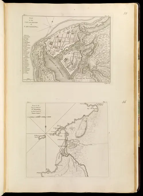
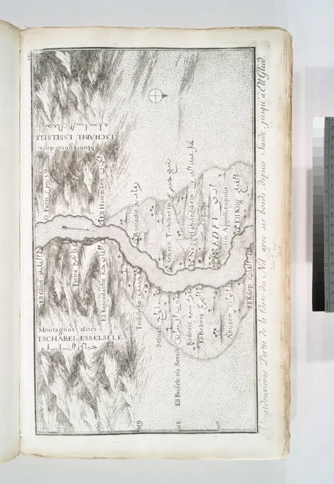
Historical Nautical Maps

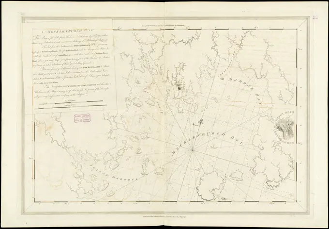
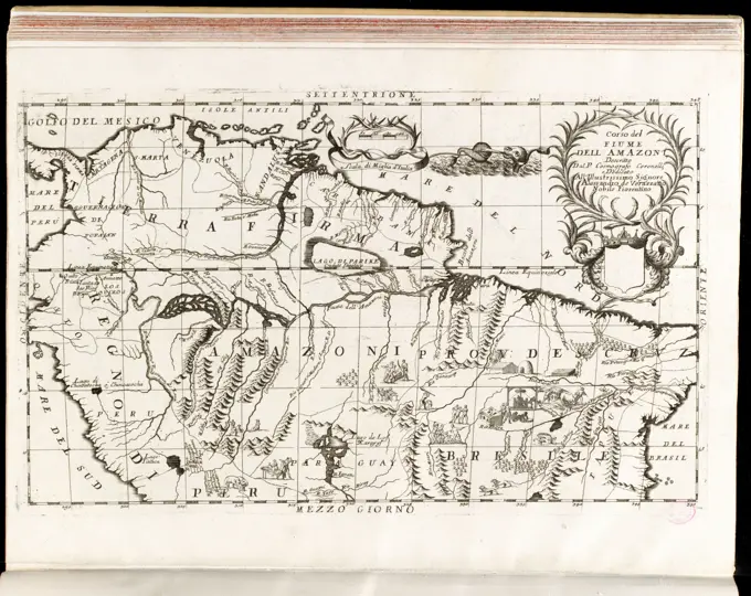
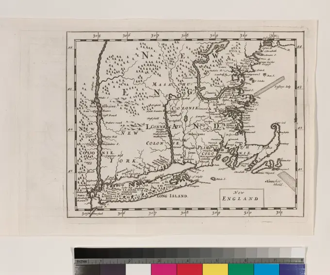
A selection of antique nautical charts showcasing various coastal regions, including maps of Nova Scotia and the Amazon, depicting early cartography styles.

Coast of Rhode Island and Long Island from Narragansett Bay to Peconic Bay , Coasts, Rhode Island, Maps, Early works to 1800, Coasts, New York State, Long Island, Maps, Early works to 1800, Nautical charts, Rhode Island, Early works to 1800, Nautical charts, New York State, Long Island, Early works to 1800 Norman B. Leventhal Map Center Collection