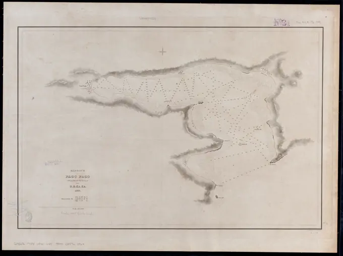
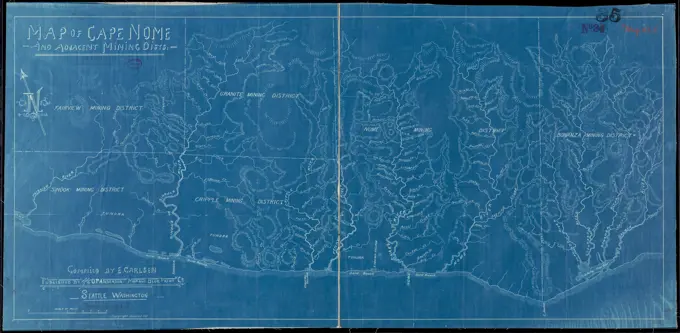
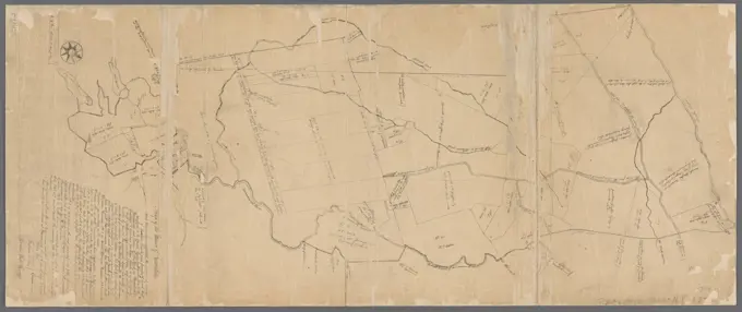
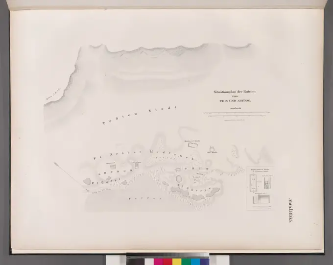
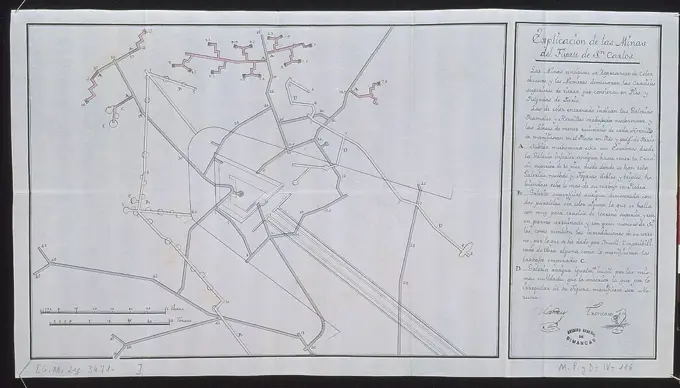
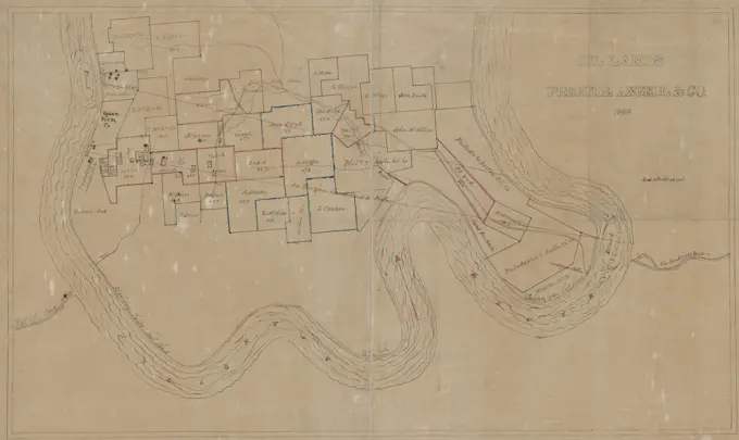
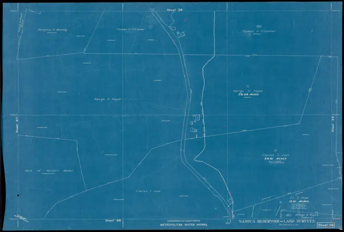
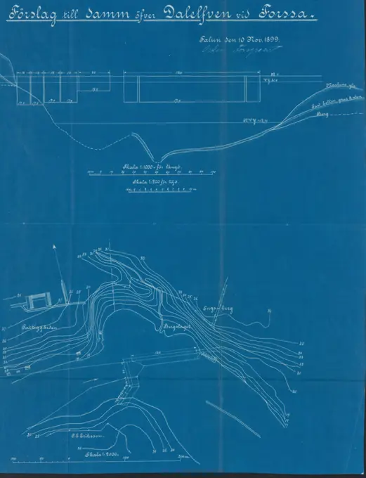
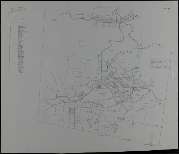
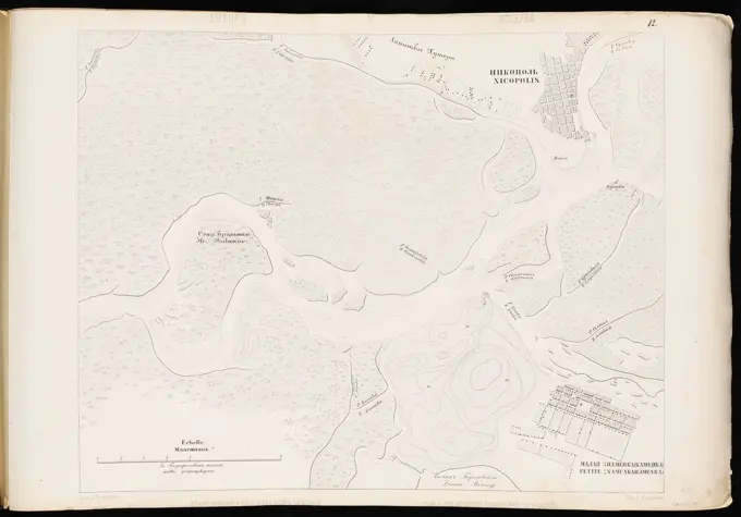
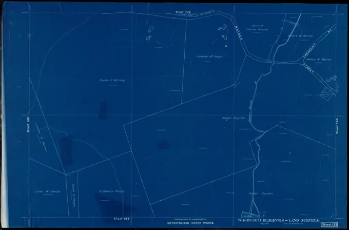
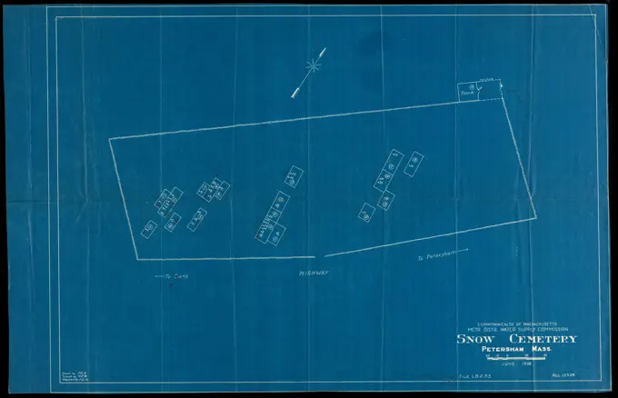
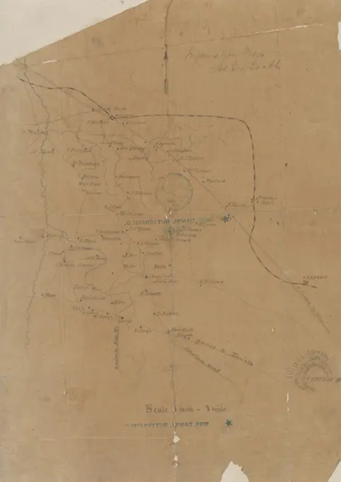
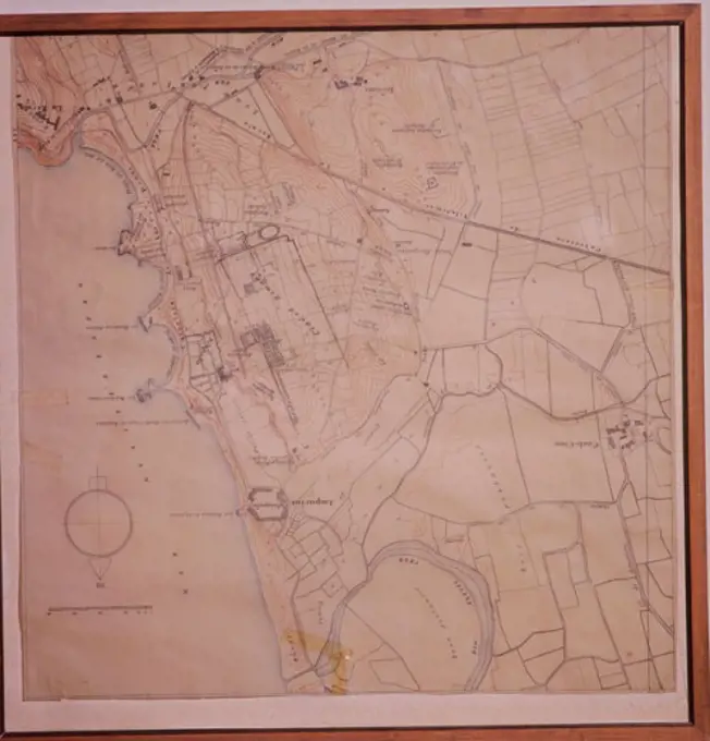
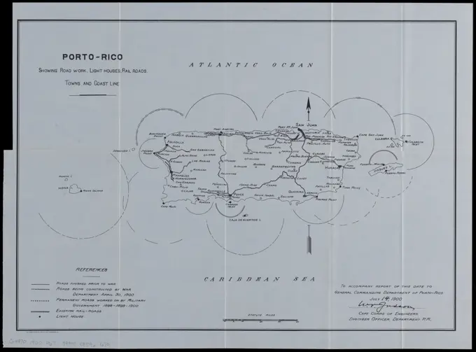
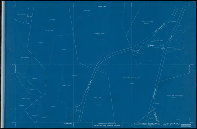
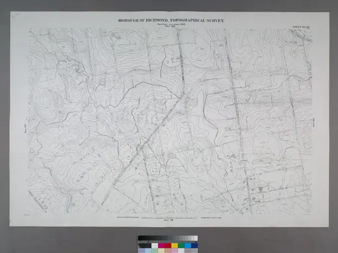
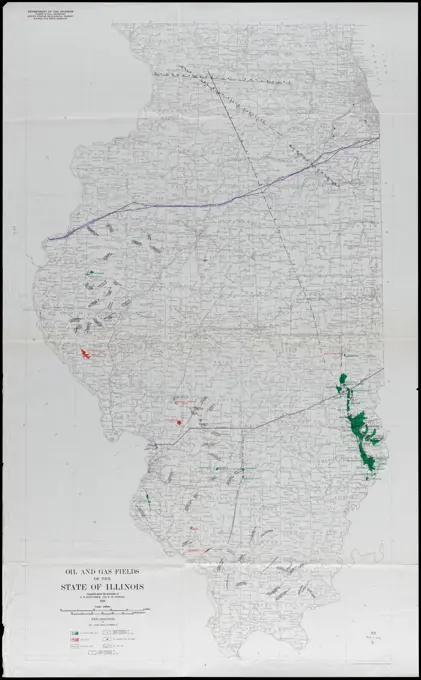
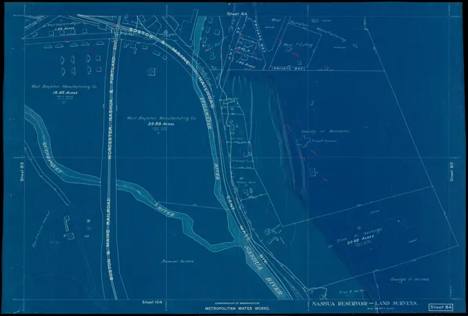
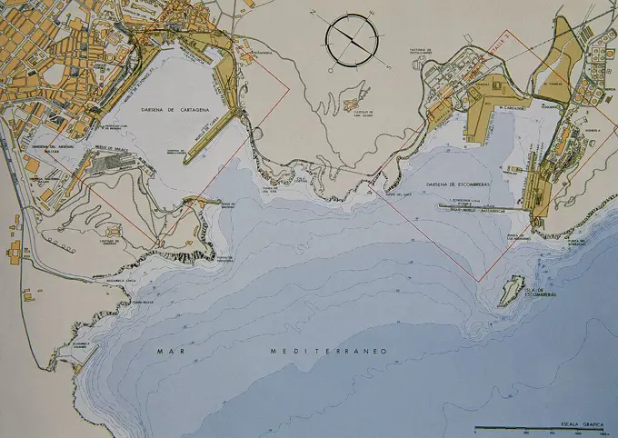
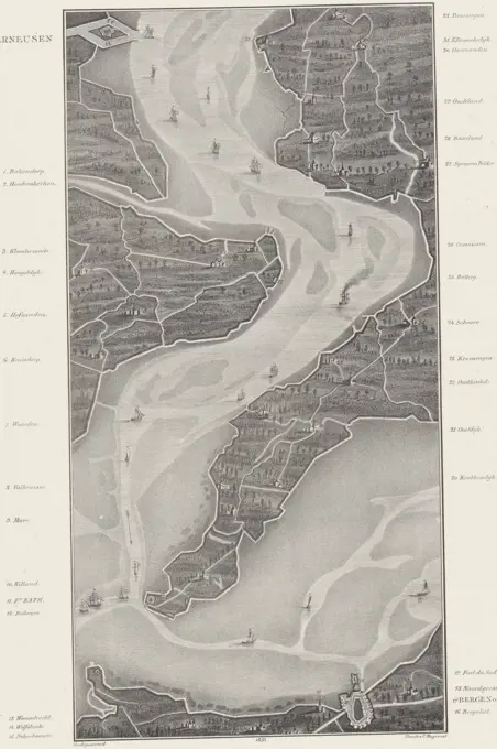
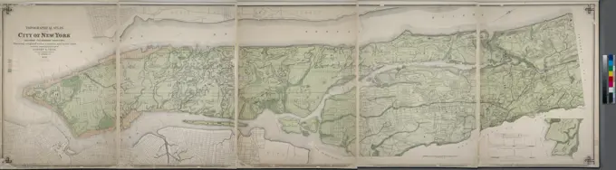
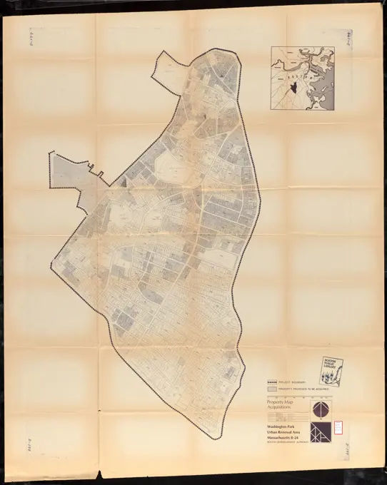
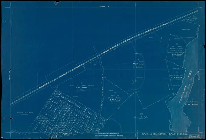
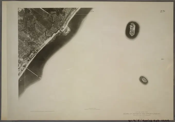
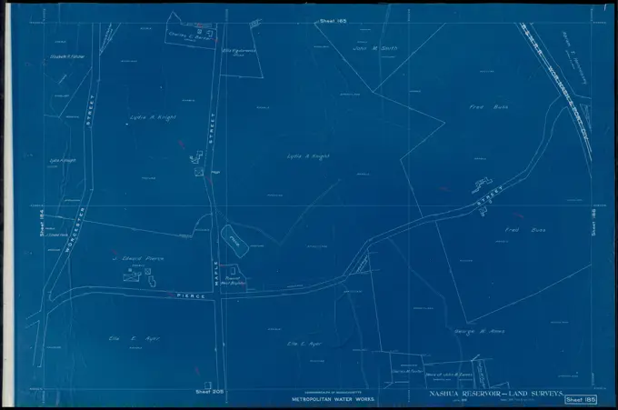
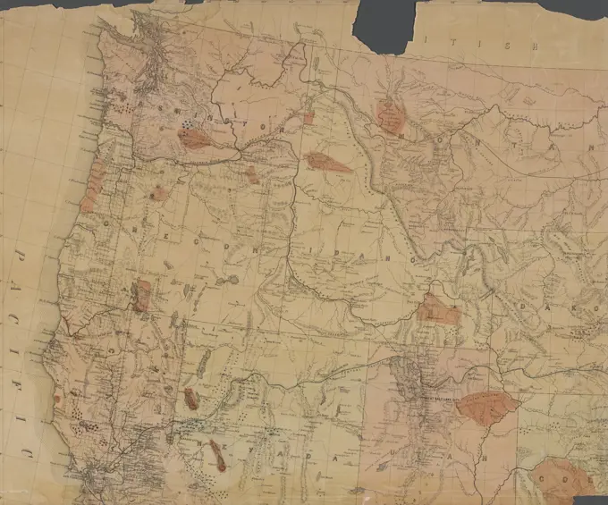
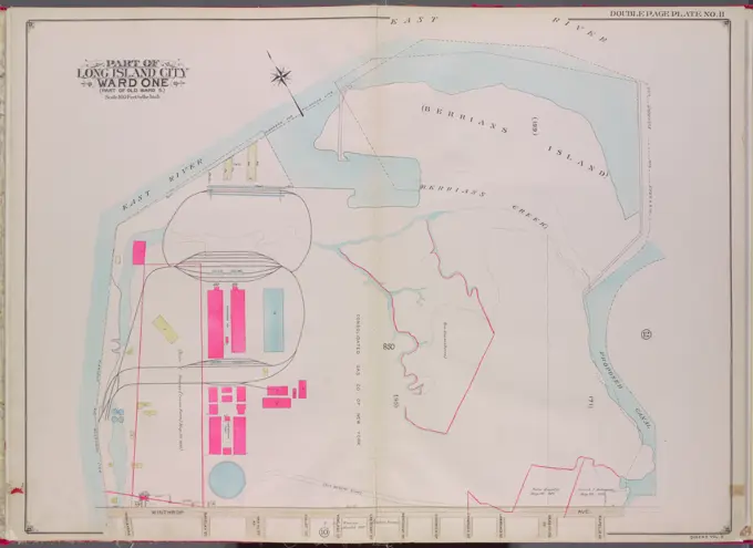
Historical Nautical Maps

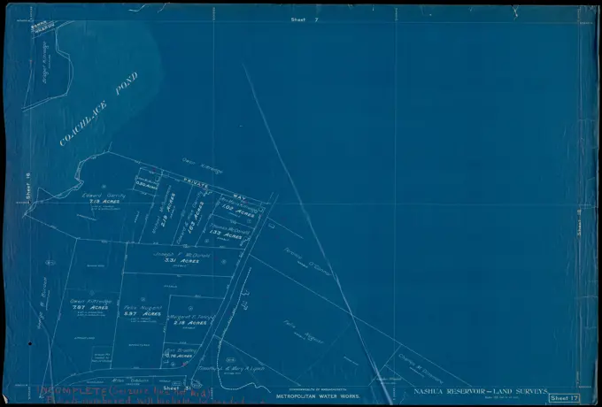
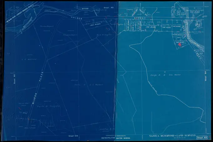
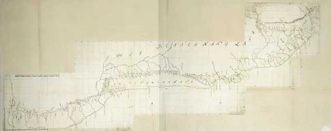
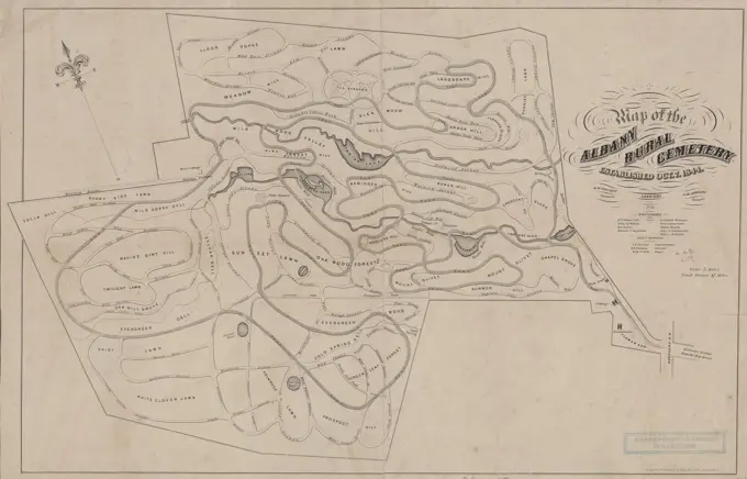
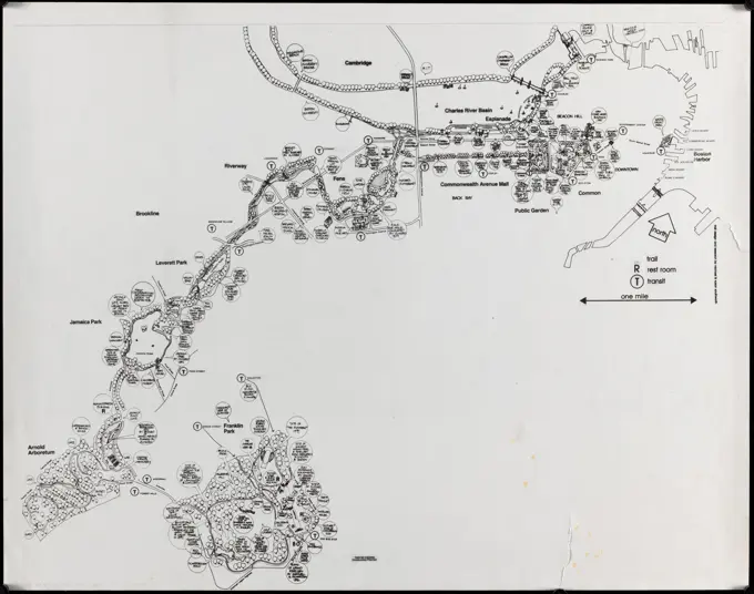
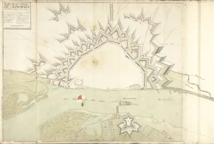
Detailed historical maps depicting coastal regions and harbors, featuring nautical charts from various locations, with intricate lines and notation.

To the members of the Nautical Institution and Ship-masters' Society of the city of New York, this chart, extending from lat. 40°15 N., long. 72°15 W., to lat. 22°35 N., long. 80°25 W., is respectfully dedicated., 1824., New York. Publisher, Wm. Hooker. Coasts Florida, Atlantic Coast (U.S.), Bahamas, Straits of Florida., A nautical chart depicting coastal regions from latitude 40°15 N, longitude 72°15 W to latitude 22°35 N, longitude 80°25 W, including parts of the Atlantic Coast of the U.S., Florida, and the Bahamas, published in 1824 by Wm. Hooker