Fine ArtVintageFootageSubscriptionBoardsFree ResearchPricing
  • Fine Art
  • Vintage
  • Footage
  • Subscription
  • Boards
  • Free Research
  • Pricing

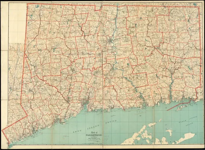
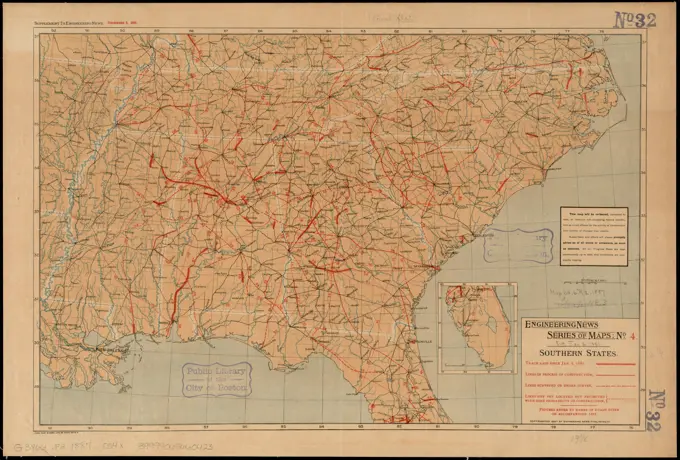
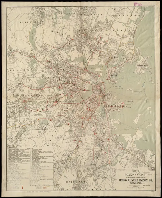
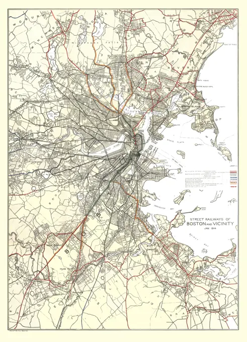
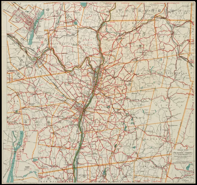
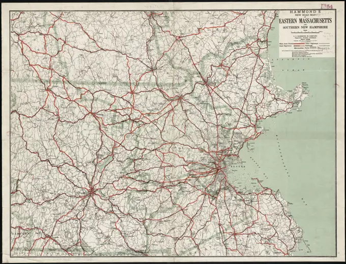
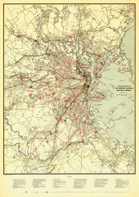
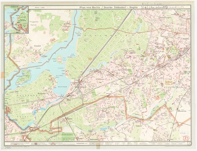
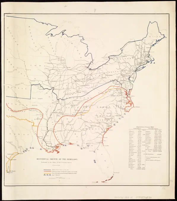
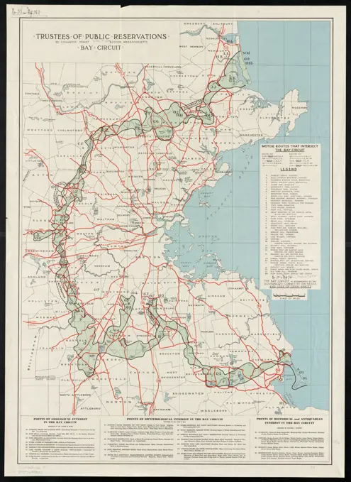
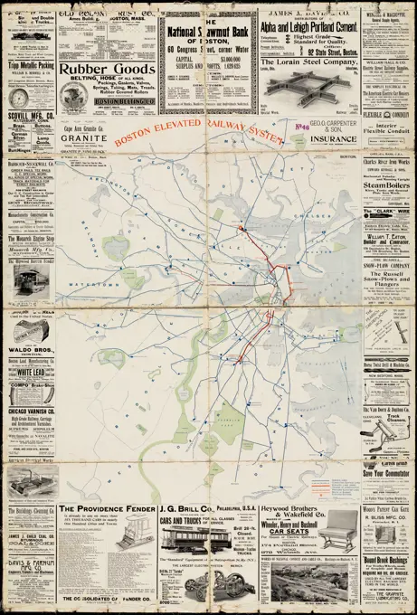
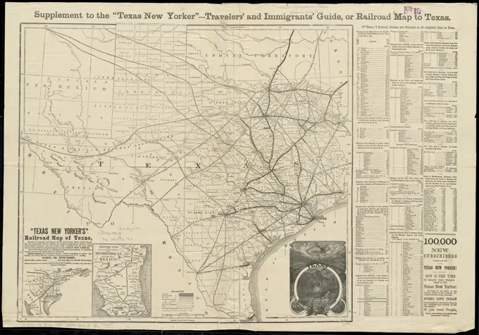
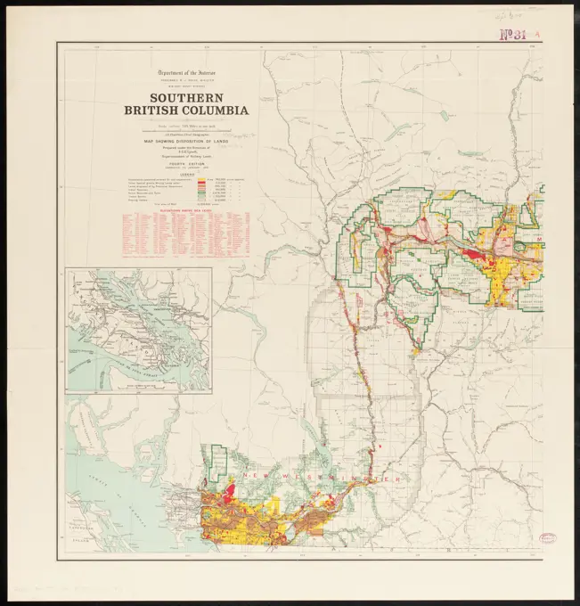
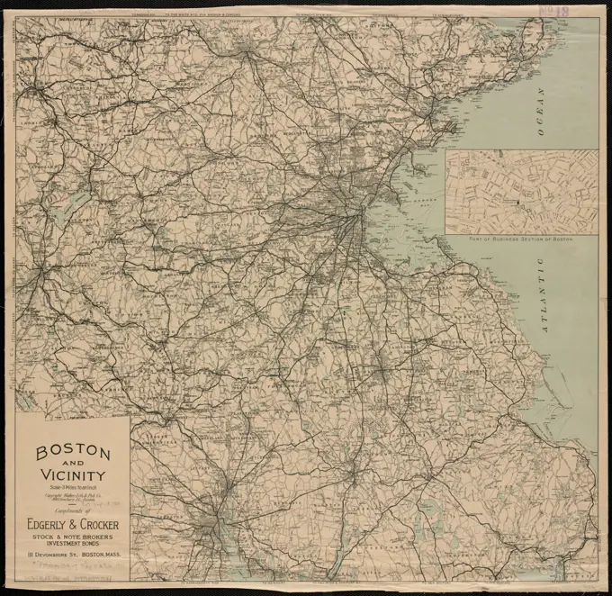
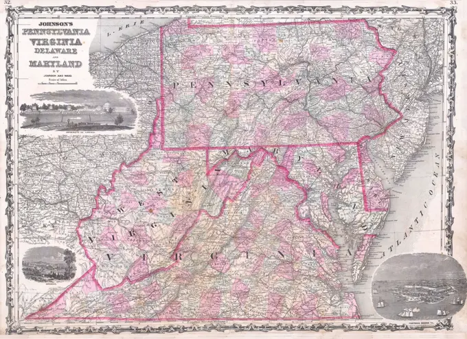
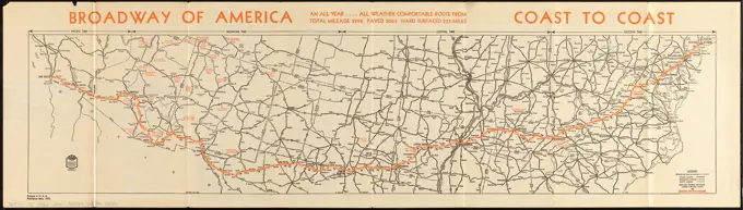
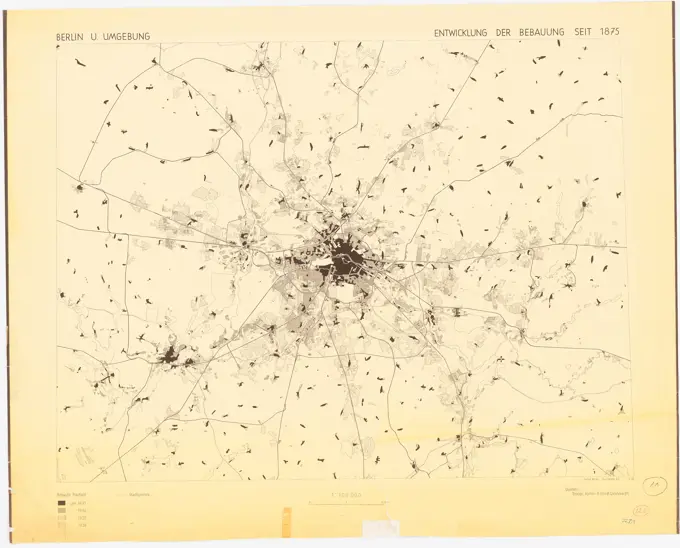
Historical Regional Maps

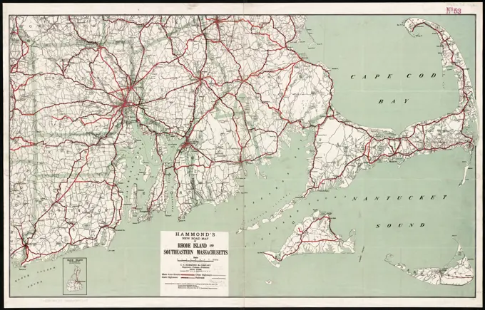
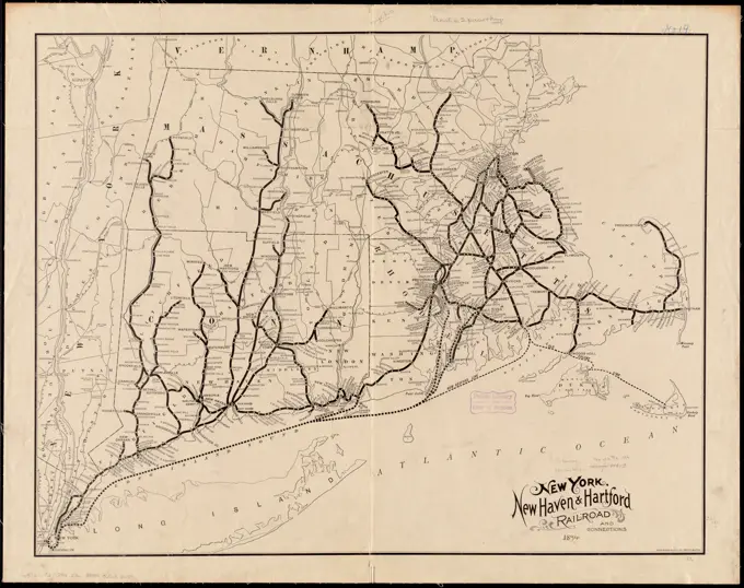
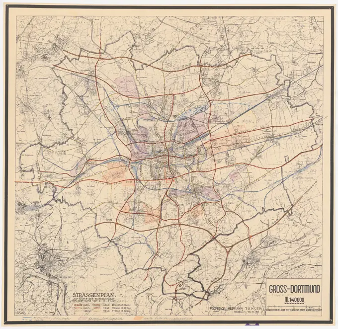
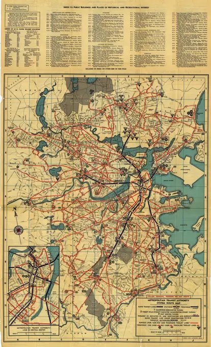
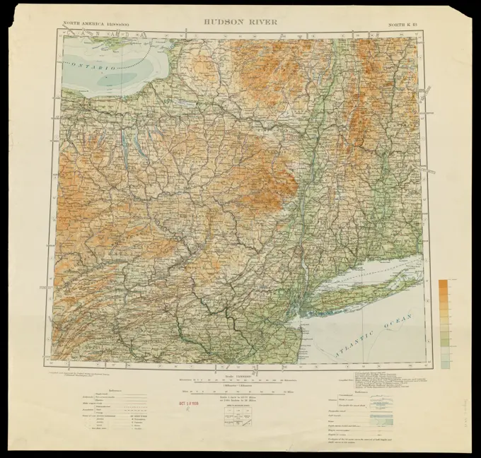
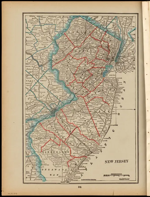
Various cartographic representations of regions like Connecticut and the Southeastern U.S., showcasing road networks and geographical features.

Road map of Northern New Jersey, 1890, by Gustav Kobbé. Issued in 1890. Published at 251 Broadway, New York. The map, measuring 37 x 36 cm on a sheet of 42 x 38 cm, features roads in New Jersey and is presented in color
67 assets in this story
6145-55956969
Automobile road map of the Metropolitan District. 1920. Cartographic. Maps. Lionel Pincus and Princess Firyal Map Division
6145-55914446
Map of Connecticut. Relief shown by contours. Shows town boundaries.... , Connecticut
6145-51396882
Map of Connecticut , Roads, Connecticut, Maps, Connecticut, Maps Norman B. Leventhal Map Center Collection
6145-48719324
Southern States , Railroads, Southern States, Maps, Southern States, Maps Norman B. Leventhal Map Center Collection
6145-55914351
Map of Boston and vicinity showing tracks operated by the Boston Elevated Railway Co., surface lines. Relief shown by spot heights. Oriented with north toward the upper left. Includes index to stations.... , Massachusetts  , Suffolk  ,county   , Boston
6145-51388169
Street railways of Boston and vicinity Jan. 1914 , Local transit, Massachusetts, Boston, Maps, Railroads, elevated, Massachusetts, Boston, Maps, Subways, Massachusetts, Boston, Maps, Boston Mass., Maps Norman B. Leventhal Map Center Collection
6145-55914348
Map of Boston and vicinity, showing tracks operated by the Boston Elevated Railway Co. January, 1910. Shows car houses, power stations, transfer points, connecting lines, surface tracks, elevated tracks, tunnel and subway and foreign tracks. Includes key to 53 numbered places.... , Massachusetts  , Suffolk  ,county   , Boston
6145-55916950
Road map of the Albany-Troy district. Shows bike routes in red. Also shows county and town boundaries. Insets: Cyclist's route map of the City of Albany, 1898 -- Troy. Includes descriptive text in cover.... , New York  , Albany  ,county   , Albany New York  , Rensselaer  ,county   , Troy
4443-75470703
Road map of Northern New Jersey, 1890, by Gustav Kobbé. Issued in 1890. Published at 251 Broadway, New York. The map, measuring 37 x 36 cm on a sheet of 42 x 38 cm, features roads in New Jersey and is presented in color
6145-51393430
Hammond's new road map of eastern Massachusetts and southern New Hampshire , Roads, Massachusetts, Maps, Roads, New Hampshire, Maps, Massachusetts, Maps, New Hampshire, Maps Norman B. Leventhal Map Center Collection
6145-54602641
Map of street railways in eastern Massachusetts
6145-50571119
Rand McNally official 1920 auto trails map : District number 6 : New England, eastern New York , Roads, New England, Maps, Roads, New York State, Maps, Automobile travel, New England, Maps, Automobile travel, New York State, Maps, New England, Maps, New York State, Maps Norman B. Leventhal Map Center Collection
6145-51395447
Massachusetts tourists map : showing tourways, picnic sites, beaches, and camp grounds , Outdoor recreation, Massachusetts, Maps, Massachusetts, Maps Norman B. Leventhal Map Center Collection
6145-50568601
Tracks operated by the Boston Elevated Railway Company January 1916 , Local transit, Massachusetts, Boston, Maps, Railroads, elevated, Massachusetts, Boston, Maps, Subways, Massachusetts, Boston, Maps, Boston Mass., Maps, Boston Elevated Railway Company Norman B. Leventhal Map Center Collection
6145-50446618
N.N., Plans of Berlin and the surrounding area: Steglitz, Zehelendorf (without date): floor plan 1: 25000. Print colored on paper, 48.8 x 63.4 cm (including scan edges) N.N. : Pläne von Berlin und Umgebung: Steglitz, Zehlendorf
6145-51393425
Hammond's new road map of Rhode Island and southeastern Massachusetts , Roads, Massachusetts, Maps, Roads, Rhode Island, Maps, Massachusetts, Maps, Rhode Island, Maps Norman B. Leventhal Map Center Collection
6145-55916704
Post route map of the State of New York and parts of Vermont, Massachusetts, Connecticut, New Jersey, and Pennsylvania also the adjacent portions of the Dominion of Canada, showing post offices with the intermediate distances and mail routes in operation on the 1st of December 1895. Also shows railroads, counties, and congressional districts. Prime meridians: Washington, D. C. and Greenwich. Insets: Part of Canada -- Postal service of Long Island with the principal mail connections of the City of New York -- Environs of New York. Includes list of counties showing relative position. "The service on this diagram brought up to date of Dec. 1st. 1895."... , New York
6145-50557152
The New York, New Haven & Hartford Railroad and connections , New York, New Haven, and Hartford Railroad Company, Maps, Railroads, New England, Maps, Ferries, New England, Maps, New England, Maps Norman B. Leventhal Map Center Collection
6145-54268240
The New York, New Haven & Hartford Railroad and connections. Date handwritten below the title... New York, New Haven and Hartford Railroad and connections. New York, New Haven and Hartford Railroad and connections, New England  ,area
6145-51396576
Boston Elevated Railway system route map , Local transit, Massachusetts, Boston, Maps, Boston Mass., Maps, Boston Elevated Railway Company Norman B. Leventhal Map Center Collection
6145-50444331
Jansen Hermann (1869-1945), Dortmund development plan (November 15, 1939): Road plan on map 1: 40000. Colored pencil and pencil over a break on paper, 64.3 x 66 cm (including scan edges) Jansen Hermann  (1869-1945): Bebauungsplan Dortmund
6145-55956974
Proposed Belt Lines for the Port of New York District in the Comprehensive Plan for the development of the Port of New York. 1921. Cartographic. Maps. Lionel Pincus and Princess Firyal Map Division
6145-51396574
Boston Elevated Railway system route map , Local transit, Massachusetts, Boston, Maps, Boston Mass., Maps, Boston Elevated Railway Company Norman B. Leventhal Map Center Collection
6145-51395503
Metropolitan Transit Authority system route map , Local transit, Massachusetts, Boston, Maps, Boston Mass., Maps, Metropolitan Transit Authority Boston, Mass. Norman B. Leventhal Map Center Collection
6145-50571520
Historical sketch of the rebellion , United States, History, Civil War, 1861-1865, Maps Norman B. Leventhal Map Center Collection
6145-50569526
Stations and transmission lines used in public service in 1919 : Massachusetts, Rhode Island, and Connecticut , Power-plants, Massachusetts, Maps, Electric lines, Massachusetts, Maps, Electric power transmission, Massachusetts, Maps, Power-plants, Connecticut, Maps, Electric lines, Connecticut, Maps, Electric power transmission, Connecticut, Maps, Power-plants, Rhode Island, Maps, Electric lines, Rhode Island, Maps, Electric power transmission, Rhode Island, Maps, 1919 Norman B. Leventhal Map Center Collection
6145-51393527
Historical sketch of the rebellion , United States, History, Civil War, 1861-1865, Maps Norman B. Leventhal Map Center Collection
6145-55914020
International map of the world on the scale 1:1,000,000. Relief shown by contours and spot heights. Depths shown by bathymetric tints. Exhibited in Journeys of the Imagination, at the Boston Public Library, Boston, MA, April - August 2006. MB (BRL). Ushering in an era of international co-operation at the beginning of the 20th century, the world's major countries joined together to create a comprehensive and uniform series of topographic map sheets for the entire world. The participating countries agreed that the proposed series would use standardized map symbols, including hypsometric tints (a gradation of assigned colors) to show elevations. Each map sheet, corresponding to four degrees of latitude and six degrees of longitude, would have a scale of 1:1,000,000 (or 1 inch equals 15.78 miles). Subsequently, the map series was known as the International Map of the World (IMW) or the Millionth Map. Most standard-sized world maps (two by three feet) have a scale in the range of 1:50,000,0
6145-50557006
New Jersey ,. Robert E. Diefenbach Map Collection
6145-51396673
The heart of New England , New England, Maps Norman B. Leventhal Map Center Collection
6145-48640710
Boston Elevated Railway system , Local transit, Massachusetts, Boston, Maps, Boston Mass., Maps, Boston Elevated Railway Company Norman B. Leventhal Map Center Collection
6145-51393477
The heart of New England , New England, Maps Norman B. Leventhal Map Center Collection
6145-50571102
Motor routes that intersect the Bay Circuit , Roads, Massachusetts, Boston, Maps, Boston Mass., Maps, Massachusetts, Maps Norman B. Leventhal Map Center Collection
6145-55915383
Motor routes that intersect the Bay Circuit. Points of geological, orinthological, historical, and antiquarian interest are listed below map. Includes index.... , Massachusetts  , Suffolk  ,county   , Boston
6145-55956741
Map of routes to the Holland Tunnel. Cartographic. Maps. 1920 - 1929. Lionel Pincus and Princess Firyal Map Division. Roads , New York (State) , New York Metropolitan Area, Holland Tunnel (New York, N.Y.) , Maps
6145-50561222
Relationship between selected recreation sites and public transportation facilities Boston metropolitan area 1971 , Outdoor recreation, Massachusetts, Boston, Maps, Local transit, Massachusetts, Boston, Maps, Boston Mass., Maps
6145-51396932
Boston elevated railway system , Street-railroads, Massachusetts, Boston, Maps, Boston Mass., Maps Norman B. Leventhal Map Center Collection
6145-55916268
Boston elevated railway system. Contains numerous advertisements.... , Massachusetts  , Suffolk  ,county   , Boston
6145-51388311
Texas New Yorker's railroad map of Texas : showing all completed and proposed routes, with principal rivers, county boundaries and county-seats, railroad stations and distances, congressional districts, United States military telegraph line, and frontier posts , Railroads, Texas, Maps, Texas, Maps Norman B. Leventhal Map Center Collection
6145-55917340
Texas New Yorker's railroad map of Texas : showing all completed and proposed routes, with principal rivers, county boundaries and county-seats, railroad stations and distances, congressional districts, United States military telegraph line, and frontier posts. Relief shown by hachures. "Entered according to act of Congress in the year 1874 by Geo. H. Sweet in the office of the Librarian of Congress at Washington." "Supplement to the 'Texas New Yorker' ...." Prime meridians: Greenwich and Washington. Includes text, statistics, ill., location map, and inset of "Proposed lines of the International R.R. of Mexico." Text and "Texas New Yorker's map of the United States: showing the principal railroad routes" (scale ca. 1:9,000,000) on verso.... , Texas
6145-48718649
Southern British Columbia : map showing disposition of lands , Land use, British Columbia, Maps, Real property, British Columbia, Maps, British Columbia, Maps Norman B. Leventhal Map Center Collection
6145-50565905
Bicycle map of north eastern Massachusetts , Bicycle trails, Massachusetts, Maps, Cycling, Massachusetts, Maps, Massachusetts, Maps Norman B. Leventhal Map Center Collection
6145-54602646
Map of the Eastern Railroad and principal connections
6176-66914068
The New York Central & Hudson River R.R. and connections. Map, circa 1893
6145-55916239
Boston and vicinity. Includes inset: Part of business section of Boston. "Compliments of Edgerly & Crocker, Stock & Note Brokers, investment bonds."... , Massachusetts  , Suffolk  ,county   , Boston
6145-50647302
Map of the area of Naarden in the Gooi to Amerongen on the Lower Rhine and from the city of Utrecht to the West Veluwe with the designation of the bicycle paths.n.b.: with legend at the top right. The bicycle paths are indicated in red as well as the numbers of the bicycle way.
6145-43860521
Civil airways of the United States as designated in Civil Air Regulations - chapter 60 , Aeronautical radio stations, United States, Maps, Airways, United States, Maps, United States, Maps Norman B. Leventhal Map Center Collection
6145-54604193
A canoeist's guide to New England's rivers
6145-29095226
1863 Johnson Map of Virginia, Maryland, Delaware Pennsylvania
6145-51395444
Massachusetts official transportation map , Massachusetts, Maps, Roads, Massachusetts, Maps, Boston Mass., Maps, Worcester Mass., Maps, Springfield Mass., Maps Norman B. Leventhal Map Center Collection
6145-50552767
Map of the Boston Elevated Ry. 1927 , Local transit, Massachusetts, Boston, Maps, Railroads, elevated, Massachusetts, Boston, Maps, Subways, Massachusetts, Boston, Maps, Bus rapid transit, Massachusetts, Boston, Maps, Boston Mass., Maps, Boston Elevated Railway Company Norman B. Leventhal Map Center Collection
6145-50569311
The health and pleasure resorts of New York and New England, the best way to reach them via 'America's greatest railroad' : the New York Central & Hudson River R.R. and connections , Northeastern States, Maps, Railroads, Northeastern States, Maps, Railroads, Ontario, Maps, Resorts, New England, Maps, Resorts, New York State, Maps, New York Central and Hudson River Railroad Company Norman B. Leventhal Map Center Collection
6145-55914680
Map of the Boston Elevated Ry. 1915. Shows surface tracks, elevated, subways and tunnels, car houses, power stations and steam R.R. Includes connection and annexation notes.... , Massachusetts  , Suffolk  ,county   , Boston
6145-50569608
Map showing horse rail roads and the surface steam roads with 104 stations in and around Boston : including 91 surface steam r.r. stations within a radius of six miles from city hall , Railroads, Massachusetts, Boston, Maps, Street-railroads, Massachusetts, Boston, Maps, Horse railroads, Massachusetts, Boston, Maps, Urban transportation, Massachusetts, Boston, Maps, Boston Mass., Maps, Boston Metropolitan Area Mass., Maps Norman B. Leventhal Map Center Collection
6145-50533427
Broadway of America an all year ... all weather comfortable route from coast to coast , Roads, United States, Maps, United States, Maps Norman B. Leventhal Map Center Collection
6145-54269163
Broadway of America an all year ... all weather comfortable route from coast to coast. Shows roads, mileage between cities, national monuments and time zones. Text and illustrations on verso... Travel the broadway of America. Travel the broadway of America, United States
6145-55915416
Bicycle map of south eastern Massachusetts. Plate Z.... , Massachusetts
6145-50568594
Metropolitan Boston transportation map : subway, bus, rail , Local transit, Massachusetts, Boston, Maps, Subways, Massachusetts, Boston, Maps, Bus rapid transit, Massachusetts, Boston, Maps, Boston Mass., Maps, Massachusetts Bay Transportation Authority Norman B. Leventhal Map Center Collection
6145-48480718
N.N., plans of Berlin and the surrounding area (without dat.): Floor plan 1: 100000. Pressure on paper, 74.2 x 91.9 cm (including scan edges) N.N. : Pläne von Berlin und Umgebung
6145-48718695
Metropolitan Boston transportation map : subway, bus, rail , Local transit, Massachusetts, Boston, Maps, Subways, Massachusetts, Boston, Maps, Bus rapid transit, Massachusetts, Boston, Maps, Boston Mass., Maps, Massachusetts Bay Transportation Authority Norman B. Leventhal Map Center Collection
6145-55963666
Map of Wayland & map of Sudbury, 1986
6145-50544424
Gilman's Hot Springs, relief , Maps, Tichnor Brothers Collection, postcards of the United States
6145-50554099
MBTA map : 1977-1978 , Local transit, Massachusetts, Boston, Maps, Subways, Massachusetts, Boston, Maps, Bus rapid transit, Massachusetts, Boston, Maps, Boston Mass., Maps, Massachusetts Bay Transportation Authority Norman B. Leventhal Map Center Collection
6145-59706218
On travel / to the wedding parties, 1902 print. gameboard Board game with the map of the Netherlands with 63 numbered with circles and place names. Title and game rules in the top left of book print. Netherlands paper letterpress printing board-games. board-games of chance Netherlands
6145-55916154
Bolivia. 78499 8-71. Relief shown by shading and spot heights. Includes location map with radial distances, comparative area map, and subject maps of "Population and administrative divisions," "Vegetation," and "Economic activity."... , Bolivia
6145-51392553
19th annual convention of the National Association of Real Estate Boards : at Tulsa, June 7 to June 11 in 1926 , Real estate boards, United States, United States, Maps, Pictorial maps Norman B. Leventhal Map Center Collection
1899-10639
Map of Pennsylvania. ca. 1937, Pennsylvania, USA, Map of Pennsylvania. Pennsylvania is noted for events of world historical importance and achievements: there are little hills and big valleys, high mountains and fertile lowlands, deep gorges, waterfalls, and sandy beaches, modern industries and old time trades, with beautiful highways stretching throughout the state, called truly the Keystone State.
PREVIOUS
of 1
NEXT
2401 S. Ervay, Suite 206
Dallas, Texas 75215
United States
Browse
CategoriesGalleriesFree Research
For Creators
License Your ContentSuperStock For StudentsFrame of Mind BlogContributor PortalNew Image SpotlightLicense AI Imagery
Resources
About UsLicensingTerms & ConditionsAPI AccessPrivacyPricing
Contact
+1 866 236 0087help@superstock.com Contact form
©2026 SuperStock. All Rights Reserved. -A
This site is protected by reCAPTCHA and Google Privacy Policy and Terms of Service apply.