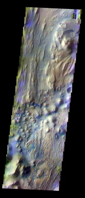
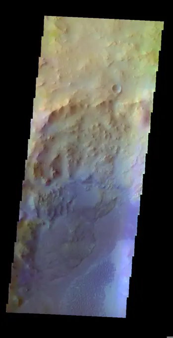
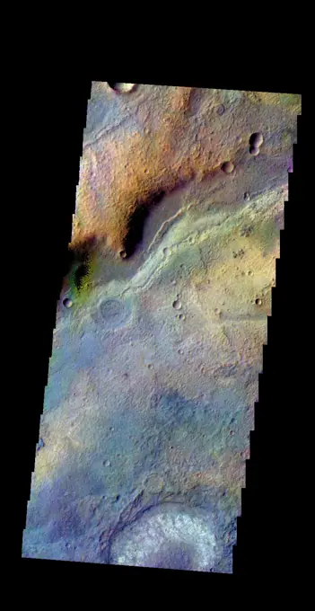
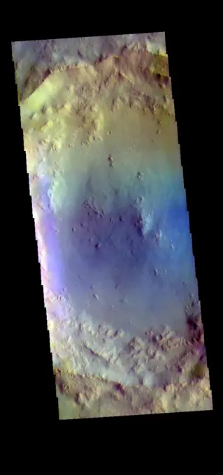
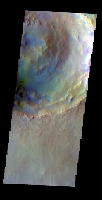
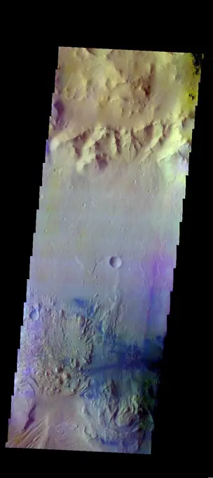
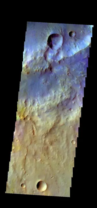
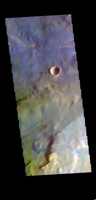
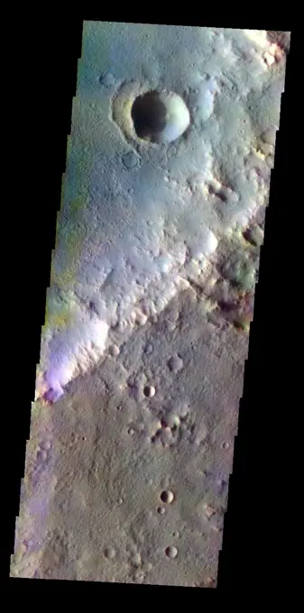
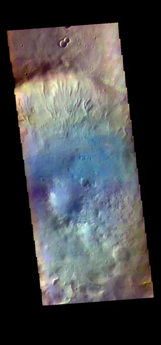
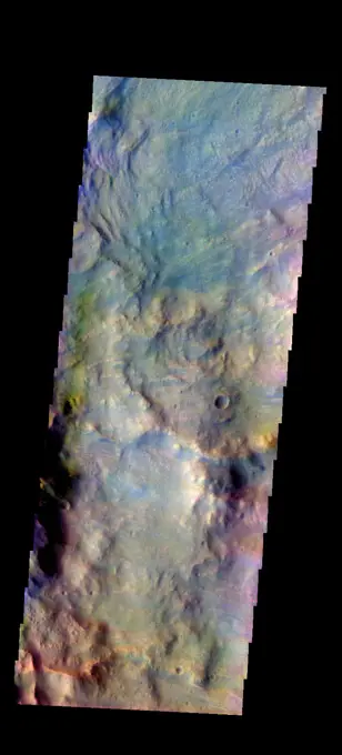
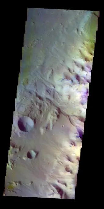
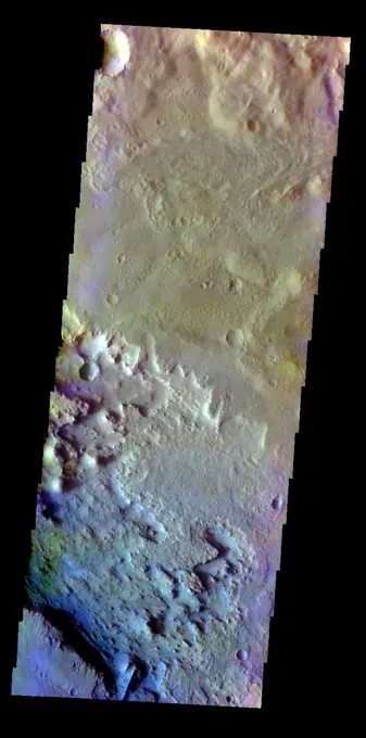
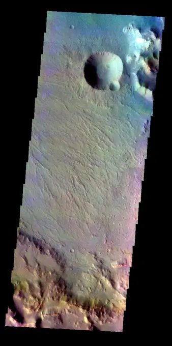
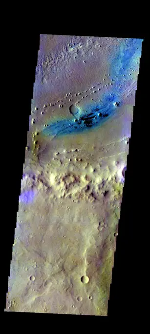
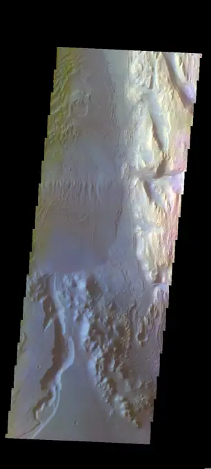
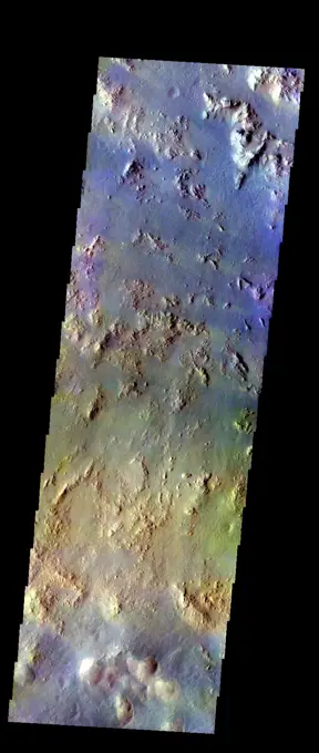
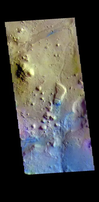
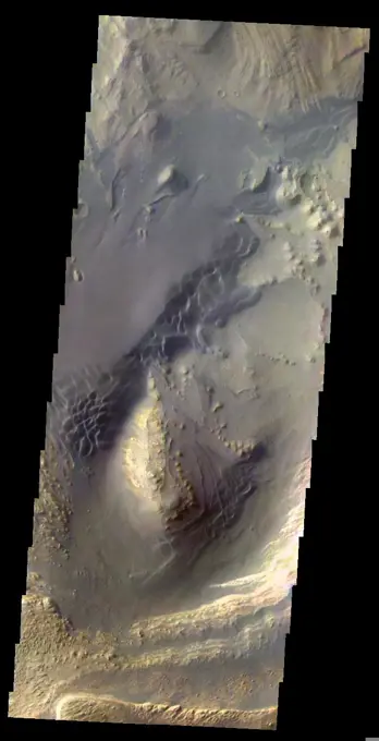
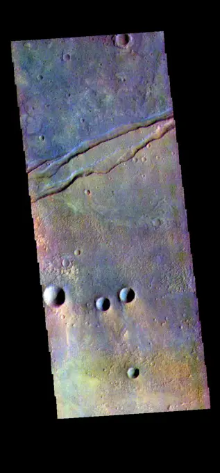
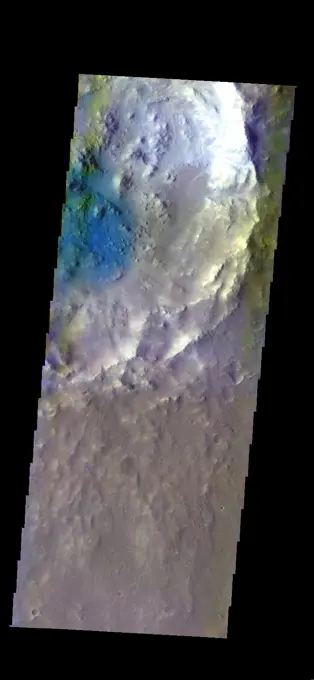
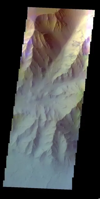
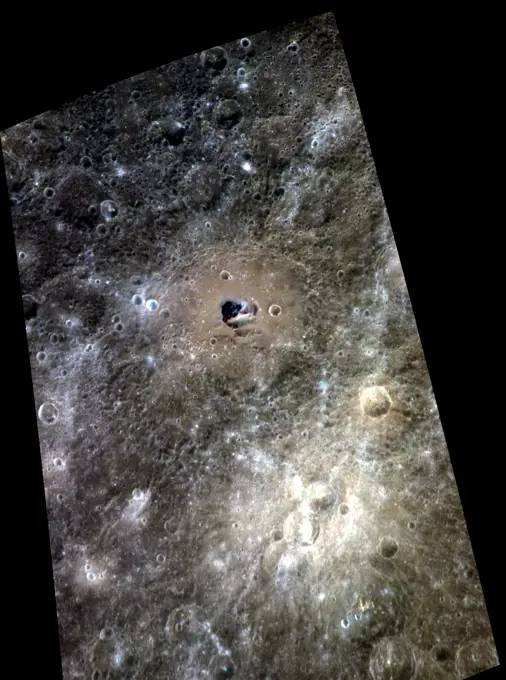
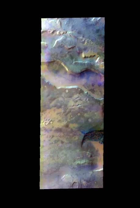
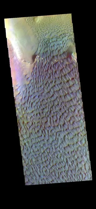
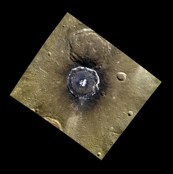
Fine ArtVintageFootageSubscriptionBoardsFree ResearchPricing
  • Fine Art
  • Vintage
  • Footage
  • Subscription
  • Boards
  • Free Research
  • Pricing

Mars Surface Imagery

False color images of the Martian surface, depicting craters and geological features, highlighting extraterrestrial landscapes.

Ares Vallis/Iani Chaos Border
85 assets in this story
6145-44631108
Ares Vallis/Iani Chaos Border
6145-45086225
The THEMIS VIS camera contains 5 filters. The data from different filters can be combined in multiple ways to create a false color image. This false color image from NASA's 2001 Mars Odyssey spacecraft shows part of Hargraves Crater.
6145-45104953
The THEMIS camera contains 5 filters. The data from different filters can be combined in multiple ways to create a false color image. This image from NASA's 2001 Mars Odyssey spacecraft shows part of the plains of Terra Sabaea.
6145-45298236
This false color image shows Bombala Crater. Located in Hesperia Planum, Bombala Crater is 38 km in diameter (23 miles). The THEMIS VIS camera contains 5 filters. The data from different filters can be combined in multiple ways to create a false color image. These false color images may reveal subtle variations of the surface not easily identified in a single band image. Orbit Number 64728 Latitude -27.6207 Longitude 106.081 Instrument VIS Captured 2016-07-17 12 42
6145-45084875
The THEMIS VIS camera contains 5 filters. The data from different filters can be combined in multiple ways to create a false color image. This false color image from NASA's 2001 Mars Odyssey spacecraft shows part of Calahorra Crater in Chryse Planitia.
6145-45126998
The THEMIS camera contains 5 filters. The data from different filters can be combined in multiple ways to create a false color image. This image from NASA's 2001 Mars Odyssey spacecraft shows part of Gale Crater.
6145-45115982
The THEMIS camera contains 5 filters. The data from different filters can be combined in multiple ways to create a false color image. This image from NASA's 2001 Mars Odyssey spacecraft shows part of the plains of Terra Cimmeria.
6145-45127470
The THEMIS camera contains 5 filters. Data from different filters can be combined in multiple ways to create a false color image. This image from NASA's 2001 Mars Odyssey spacecraft shows part of the southwestern rim of Knobel Crater.
6145-58971799
The THEMIS VIS camera contains 5 filters. The data from different filters can be combined in multiple ways to create a false color image. These false color images may reveal subtle variations of the surface not easily identified in a single band image. Today's false color image shows part of Cydonia Mensae. Cydonia Mensae is located in the region between the cratered highlands of northwestern Arabia Terra and the southern lowlands of Acidalia Planitia. This area contains many different landforms, including tectonic features, chaos terrain and impact craters. This VIS image shows a portion of chaos in the top left of the frame, and several tectonic depressions. The THEMIS VIS camera is capable of capturing color images of the Martian surface using five different color filters. In this mode of operation, the spatial resolution and coverage of the image must be reduced to accommodate the additional data volume produced from using multiple filters. To make a color image, three of the five
6145-45297195
The THEMIS VIS camera contains 5 filters. The data from different filters can be combined in multiple ways to create a false color image. These false color images may reveal subtle variations of the surface not easily identified in a single band image. Today's false color image shows part of Terra Sabaea. Orbit Number 82045 Latitude -7.03114 Longitude 28.9564 Instrument VIS Captured 2020-06-12 21 36
6145-45092018
The THEMIS VIS camera contains 5 filters. The data from different filters can be combined in multiple ways to create a false color image. This false color image from NASA's 2001 Mars Odyssey spacecraft shows an unnamed crater in Terra Cimmeria.
6145-45096924
The THEMIS VIS camera contains 5 filters. The data from different filters can be combined in multiple ways to create a false color image. This image from NASA's 2001 Mars Odyssey spacecraft shows an unnamed crater in Noachis Terra.
6145-45126492
The THEMIS camera contains 5 filters. The data from different filters can be combined in multiple ways to create a false color image. This image from NASA's 2001 Mars Odyssey spacecraft shows the outer rim of Beruri Crater.
6145-45134681
The THEMIS camera contains 5 filters. The data from different filters can be combined in multiple ways to create a false color image. This image from NASA's 2001 Mars Odyssey spacecraft shows more of Asimov Crater.
6145-45098458
The THEMIS VIS camera contains 5 filters. The data from different filters can be combined in multiple ways to create a false color image. This image from NASA's 2001 Mars Odyssey spacecraft shows some of the dunes located on the floor of Pettit Crater.
6145-45265171
Today's image shows part of Bonestell Crater. Bonestell Crater is a relatively young crater located in Acidalia Planitia. Dust blown into the crater and the downslope movement of fine materials from the rim are slowly modifying the crater features. This material is responsible for the sand dunes visible at the bottom of the image. Dark blue tones in this false color combination typically indicate basaltic materials. The THEMIS VIS camera contains 5 filters. The data from different filters can be combined in multiple ways to create a false color image. These false color images may reveal subtle variations of the surface not easily identified in a single band image. Orbit Number 62961 Latitude 42.0703 Longitude 329.385 Instrument VIS Captured 2016-02-23 00 05
6145-45297178
The THEMIS VIS camera contains 5 filters. The data from different filters can be combined in multiple ways to create a false color image. These false color images may reveal subtle variations of the surface not easily identified in a single band image. Today's false color image shows the large sand sheet on the floor of Matara Crater. The top of the sand sheet has been sculpted by the wind, creating dune forms. Matara Crater is 48km (30 miles) in diameter and is located in Noachis Terra. Orbit Number 75438 Latitude -49.5195 Longitude 34.6327 Instrument VIS Captured 2018-12-16 19 39
6145-45084129
The THEMIS VIS camera contains 5 filters. The data from different filters can be combined to create a false color image. This false color image from NASA's 2001 Mars Odyssey spacecraft shows part of a tributary channel that empties into Ares Vallis.
6145-45125025
The THEMIS camera contains 5 filters. The data from different filters can be combined in multiple ways to create a false color image. This image from NASA's 2001 Mars Odyssey spacecraft shows part of the interior of Hale Crater.
6145-45298499
This false color image shows part of Terra Cimmeria. The complexity of the surface is evident in the multiple colors seen in this image. The bright blue-white and lavender spots towards the bottom of the image stand out against the more usual blues and yellows. The THEMIS VIS camera contains 5 filters. The data from different filters can be combined in multiple ways to create a false color image. These false color images may reveal subtle variations of the surface not easily identified in a single band image. Orbit Number 64802 Latitude -9.56903 Longitude 127.898 Instrument VIS Captured 2016-07-23 15 06
6145-45260708
The THEMIS VIS camera contains 5 filters. The data from different filters can be combined in multiple ways to create a false color image. These false color images may reveal subtle variations of the surface not easily identified in a single band image. Today's false color image shows part of the plains of Terra Cimmeria. Orbit Number 59219 Latitude -9.46406 Longitude 128.617 Instrument VIS Captured 2015-04-20 19 09
6145-45085655
The THEMIS VIS camera contains 5 filters. The data from different filters can be combined in multiple ways to create a false color image. This false color image from NASA's 2001 Mars Odyssey spacecraft shows part of Coprates Chasma.
6145-45115743
The THEMIS camera contains 5 filters. The data from different filters can be combined in multiple ways to create a false color image. This image from NASA's 2001 Mars Odyssey spacecraft shows part of the plains of Tyrrhena Terra.
6145-45111624
The THEMIS camera contains 5 filters. The data from different filters can be combined in multiple ways to create a false color image. This image from NASA's 2001 Mars Odyssey spacecraft shows part of Margaritifer Terra.
6145-45297161
The THEMIS VIS camera contains 5 filters. The data from different filters can be combined in multiple ways to create a false color image. These false color images may reveal subtle variations of the surface not easily identified in a single band image. Today's false color image shows part of Terra Sirenum. Orbit Number 75250 Latitude -40.2626 Longitude 238.511 Instrument VIS Captured 2018-12-01 08 32
6145-45134432
The THEMIS camera contains 5 filters. The data from different filters can be combined in multiple ways to create a false color image. This image from NASA's 2001 Mars Odyssey spacecraft shows several small craters in Aonia Terra.
6145-45095676
The THEMIS VIS camera contains 5 filters. Data from the filters can be combined in many ways to create a false color image. This image from NASA's 2001 Mars Odyssey spacecraft shows the margin between the highlands of Margaritifer Terra and Eos Chasma.
6145-58972023
The THEMIS VIS camera contains 5 filters. The data from different filters can be combined in multiple ways to create a false color image. These false color images may reveal subtle variations of the surface not easily identified in a single band image. Today's false color image shows part of the floor of Rabe Crater. Located in Noachis Terra, Rabe Crater is 108 km (67 miles) across. Dunes cover the majority of this image of Rabe Crater. As the dunes are created by wind action the forms of the dunes record the wind direction. Dunes will have a long low angle component and a short high angle side. The steep side is called the slip face. The wind blows up the long side of the dune. In this VIS image the slip faces are illuminated more than the longer side. In this part of the crater the winds were generally moving from the lower right corner of the image towards the upper left. Craters of similar size as Rabe Crater often have flat floors. Rabe Crater has some areas of flat floor, but als
6145-45115238
The THEMIS camera contains 5 filters. The data from different filters can be combined in multiple ways to create a false color image. This image from NASA's 2001 Mars Odyssey spacecraft shows part of Nili Fossae.
6145-45112394
The THEMIS camera contains 5 filters. The data from different filters can be combined in multiple ways to create a false color image. This image from NASA's 2001 Mars Odyssey spacecraft shows some of the plains of Sabaea Terra.
6145-45092568
The THEMIS VIS camera contains 5 filters. The data from different filters can be combined in multiple ways to create a false color image. This false color image from NASA's 2001 Mars Odyssey spacecraft show part of the floor of Schaeberle Crater.
6145-44616827
Thaumasia Planium
6145-45133949
The THEMIS camera contains 5 filters. Data from different filters can be combined in many ways to create a false color image. This image from NASA's 2001 Mars Odyssey spacecraft shows the sand sheet with surface dune forms on the floor of Matara Crater.
6145-45104955
The THEMIS camera contains 5 filters. The data from different filters can be combined in multiple ways to create a false color image. This image from NASA's 2001 Mars Odyssey spacecraft shows part of Martin Crater.
6145-44616272
Tinjar Vallis
6145-45094399
The THEMIS VIS camera contains 5 filters. The data from different filters can be combined in multiple ways to create a false color image. This false color image from NASA's 2001 Mars Odyssey spacecraft shows part of the rim and floor of Saheki Crater.
6145-45124279
The THEMIS camera contains 5 filters. The data from different filters can be combined in multiple ways to create a false color image. This image from NASA's 2001 Mars Odyssey spacecraft shows some of the extensive plains that comprise Terra Sabaea.
6145-45101297
The THEMIS VIS camera contains 5 filters. The data from different filters can be combined in multiple ways to create a false color image. This image captured by NASA's 2001 Mars Odyssey spacecraft shows part of Hebes Mensa.
6145-45111637
The THEMIS camera contains 5 filters. The data from different filters can be combined in multiple ways to create a false color image. This image from NASA's 2001 Mars Odyssey spacecraft shows part of the floor of Vernal Crater.
6145-45093641
The THEMIS VIS camera contains 5 filters. The data from different filters can be combined in multiple ways to create a false color image. This false color image from NASA's 2001 Mars Odyssey spacecraft shows several linear depressions.
6145-45103426
The THEMIS camera contains 5 filters. The data from different filters can be combined in multiple ways to create a false color image. This image from NASA's 2001 Mars Odyssey spacecraft shows part of the floor of Gale Crater, home of the Curiosity Rover.
6145-45096660
The THEMIS VIS camera contains 5 filters. The data from different filters can be combined in multiple ways to create a false color image. This image from NASA's 2001 Mars Odyssey spacecraft shows the plains between Hale Crater and Argyre Planitia.
6145-44631630
Downstream in Mawrth Valles
6145-45084867
The THEMIS VIS camera contains 5 filters. The data from different filters can be combined in multiple ways to create a false color image. This false color image from NASA's 2001 Mars Odyssey spacecraft shows part of Atlantis Chaos.
6145-45108316
The THEMIS camera contains 5 filters. The data from different filters can be combined in multiple ways to create a false color image. This image from NASA's 2001 Mars Odyssey spacecraft shows part of Peraea Cavus.
6145-45112400
The THEMIS camera contains 5 filters. The data from different filters can be combined in multiple ways to create a false color image. This image from NASA's 2001 Mars Odyssey spacecraft shows part of Ius Chasma.
6145-45258141
The THEMIS VIS camera contains 5 filters. The data from different filters can be combined in multiple ways to create a false color image. These false color images may reveal subtle variations of the surface not easily identified in a single band image. Today's false color image shows part of the large dune form on the floor of Russell Crater. Orbit Number 59672 Latitude -54.337 Longitude 13.1087 Instrument VIS Captured 2015-05-28 02 39
6145-52961064
. Kaiser Crater Dunes - False Color. The THEMIS VIS camera contains 5 filters. The data from different filters can be combined in multiple ways to create a false color image. These false color images may reveal subtle variations of the surface not easily identified in a single band image. This false color image shows part of the floor of Kaiser Crater. Kaiser Crater is 207 km (129 miles) in diameter and is located in Noachis Terra west of Hellas Planitia. This sand dune field is one of several regions of sand dunes located in the southern part of the crater floor. With enough wind and sand, sand dunes are formed. Dune morphology typically has a shallow slope on the side the wind is blowing from and a steep face on the other side. The lighter part of the dunes in this image are the steep slopes. Wind blows sand particles up the shallow slope and then the particles 'fall' off the crest of the dune down the steep side. With time, the constant wind will move the crest of the dune forward.
6145-45112389
The THEMIS camera contains 5 filters. The data from different filters can be combined in multiple ways to create a false color image. This image from NASA's 2001 Mars Odyssey spacecraft shows some of the plains of Terra Cimmeria.
6145-45292437
The THEMIS VIS camera contains 5 filters. The data from different filters can be combined in multiple ways to create a false color image. These false color images may reveal subtle variations of the surface not easily identified in a single band image. Today's false color image shows a small section of Nili Fossae. The linear depression at the top of the image is one of the Nili Fossae graben. Dark blue in this filter combination indicates basaltic sand. Orbit Number 69580 Latitude 25.2782 Longitude 80.2868 Instrument VIS Captured 2017-08-21 06 55
6145-44651876
This image shows the sand dunes and layered material common on the floor of Valles Marineris
6145-45297193
The THEMIS VIS camera contains 5 filters. The data from different filters can be combined in multiple ways to create a false color image. These false color images may reveal subtle variations of the surface not easily identified in a single band image. Today's false color image shows part of Sirenum Fossae. The linear depressions at the top of the image are called graben. Graben are created in regions of extensional tectonic stress, where the bedrock is faulted and pulled apart, allowing linear sections of the surface to drop downward along paired faults. The Sirenum Fossae graben are 2735km (1700 miles) long. Orbit Number 82613 Latitude -32.4226 Longitude 206.01 Instrument VIS Captured 2020-07-29 15 55
6145-45129499
The THEMIS camera contains 5 filters. Data from different filters can be combined in multiple ways to create a false color image. This image from NASA's 2001 Mars Odyssey spacecraft shows part of Ganges Chasma.
6145-44616544
South Polar Cap
6145-44495121
Ganges Chasma is part of the Valles Marineris trough system that stretches nearly 5,000 kilometers (3,000 miles) across the western equatorial region of Mars. This stereo anaglyph is from NASA's Mars Global Surveyor. 3D glasses are necessary.
6145-45114498
The THEMIS camera contains 5 filters. The data from different filters can be combined in multiple ways to create a false color image. This image from NASA's 2001 Mars Odyssey spacecraft shows part of the plains of Noachis Terra.
6145-45129732
The THEMIS camera contains 5 filters. Data from different filters can be combined in multiple ways to create a false color image. This image from NASA's 2001 Mars Odyssey spacecraft shows the floor of an unnamed crater in Arabia Terra.
6145-45265878
The THEMIS VIS camera contains 5 filters. The data from different filters can be combined in multiple ways to create a false color image. These false color images may reveal subtle variations of the surface not easily identified in a single band image. Today's false color image shows part of Terra Sabaea. Orbit Number 63009 Latitude -4.68262 Longitude 30.975 Instrument VIS Captured 2016-02-26 22 42
6145-45094923
The THEMIS VIS camera contains 5 filters. The data from different filters can be combined in multiple ways to create a false color image. This false color image from NASA's 2001 Mars Odyssey spacecraft shows part of the plains of Terra Cimmeria.
6145-45265374
This VIS image shows part of the floor of Pollack Crater. First imaged by Mariner 9, the high contrast between the crater floor and the bright feature, led to the informal name white rock for the bright floor feature. More recent images have shown that the floor of Pollack Crater is darker then normal in that part of the crater, which has produced the high contrast. THEMIS IR images of the feature indicate a composition produced by wind deposition, rather than water. Additionally, the deposit does not appear to be solid rock. The deposit is most likely a combination of dust and a more solid material. Taken together, the Mariner 9 image of white rock didn't hold up under careful study, it's not white and it's not rock! The THEMIS VIS camera contains 5 filters. The data from different filters can be combined in multiple ways to create a false color image. These false color images may reveal subtle variations of the surface not easily identified in a single band image. Orbit Number 62872
6145-45262520
This VIS image shows a small section of Mawrth Valles and several surrounding craters located in Arabia Terra. The THEMIS VIS camera contains 5 filters. The data from different filters can be combined in multiple ways to create a false color image. These false color images may reveal subtle variations of the surface not easily identified in a single band image. Orbit Number 61164 Latitude 21.6892 Longitude 342.969 Instrument VIS Captured 2015-09-28 00 06
6145-45083623
The THEMIS VIS camera contains 5 filters. The data from different filters can be combined in multiple ways to create a false color image. This false color image captured by NASA's 2001 Mars Odyssey spacecraft shows part of Coprates Chasma.
6145-45072493
Hemingway crater is seen in this color view of Mercury's surface as seen by NASA's MESSENGER spacecraft. Hemingway is the 130-km (81-mile) diameter crater with a relatively brown floor and small patch of dark blue in its center.
6145-44668680
Dune Field in Nili Pateria
6145-44687756
In this movie, put together from false-color images taken by the New Horizons Ralph instrument as the spacecraft flew past Jupiter in early 2007, show ammonia clouds (appearing as bright blue areas) as they form and disperse.
6145-45129003
The THEMIS camera contains 5 filters. Data from different filters can be combined in multiple ways to create a false color image. This image from NASA's 2001 Mars Odyssey spacecraft shows part of the plains of Margaritifer Terra.
6145-44645338
First Color HiRISE Image of Mars
6145-45266898
This mosaic of images shows layers of ancient sediment on a boulder-sized rock called Strathdon, as seen by the Mars Hand Lens Imager (MAHLI) camera on the end of the robotic arm on NASA's Curiosity rover. The images were taken on July 10, 2019, the 2,462nd Martian day, or sol, of the mission. The images were acquired from about 4 inches (10 centimeters) away and processed to adjust brightness and remove blemishes.
6145-45091810
The THEMIS VIS camera contains 5 filters. The data from different filters can be combined in multiple ways to create a false color image. This image from NASA's 2001 Mars Odyssey spacecraft shows depressions in the surface of southern Noachis Terra.
6145-45297194
The THEMIS VIS camera contains 5 filters. The data from different filters can be combined in multiple ways to create a false color image. These false color images may reveal subtle variations of the surface not easily identified in a single band image. Today's false color image shows part of the floor of Rabe Crater. Located in Noachis Terra, Rabe Crater is 108 km (67 miles) across. Dunes cover the majority of this image of Rabe Crater. As the dunes are created by wind action the forms of the dunes record the wind direction. Dunes will have a long low angle component and a short high angle side. The steep side is called the slip face. The wind blows up the long side of the dune. In this VIS image the slip faces are illuminated more than the longer side. In this part of the crater the winds were generally moving from the lower right corner of the image towards the upper left. Craters of similar size as Rabe Crater often have flat floors. Rabe Crater has some areas of flat floor, but als
6145-45078308
The Pantheon in 3-D
6145-45265573
Oyama Crater dominates the top of this VIS image. Oyama Crater is located in Arabia Terra, just west of Mawrth Vallis. The two craters at the bottom of the image are unnamed. The THEMIS VIS camera contains 5 filters. The data from different filters can be combined in multiple ways to create a false color image. These false color images may reveal subtle variations of the surface not easily identified in a single band image. Orbit Number 62050 Latitude 23.3269 Longitude 340.286 Instrument VIS Captured 2015-12-09 23 15
6145-45265928
This VIS image shows part of the southern cliff face of Ius Chasma. The THEMIS VIS camera contains 5 filters. The data from different filters can be combined in multiple ways to create a false color image. These false color images may reveal subtle variations of the surface not easily identified in a single band image. Orbit Number 61753 Latitude -7.27471 Longitude 274.245 Instrument VIS Captured 2015-11-15 12 03
6145-45260364
This pair of images from the Mast Camera (Mastcam) on NASA's Curiosity rover illustrates how special filters are used to scout terrain ahead for variations in the local bedrock. The upper panorama is in the Mastcam's usual full color, for comparison. The lower panorama of the same scene, in false color, combines three exposures taken through different science filters, each selecting for a narrow band of wavelengths. Filters and image processing steps were selected to make stronger signatures of hematite, an iron-oxide mineral, evident as purple. Hematite is of interest in this area of Mars -- partway up Vera Rubin Ridge on lower Mount Sharp -- as holding clues about ancient environmental conditions under which that mineral originated. In this pair of panoramas, the strongest indications of hematite appear related to areas where the bedrock is broken up. With information from this Mastcam reconnaissance, the rover team selected destinations in the scene for close-up investigations to ga
6145-45105712
The map is a Mercator projection and has a resolution of 460 feet (140 meters) per pixel. The images used to make this map were taken from Dawn's high-altitude mapping orbit (HAMO), at a distance of 915 miles (1,470 kilometers) from Ceres.
6145-45019580
Dominici and Homer - in Color!
6145-44484448
The THEMIS VIS camera contains 5 filters. The data from different filters can be combined in multiple ways to create a false color image. These false color images may reveal subtle variations of the surface not easily identified in a single band image. Today's false color image shows an unnamed crater in Arabia Terra. Arabia Terra is one of the oldest surface regions on Mars and contains a large variety of surface features. The region is dissected with numerous unnamed channels of all sizes and complexities, as well as numerous pits of unknown origin. The blue features on the crater floor are sand dunes, in this false color combination blue indicates basaltic sands. The THEMIS VIS camera is capable of capturing color images of the Martian surface using five different color filters. In this mode of operation, the spatial resolution and coverage of the image must be reduced to accommodate the additional data volume produced from using multiple filters. To make a color image, three of the
6145-52961066
. Sirenum Fossae - False Color. The THEMIS VIS camera contains 5 filters. The data from different filters can be combined in multiple ways to create a false color image. These false color images may reveal subtle variations of the surface not easily identified in a single band image. Today's false color image shows part of Sirenum Fossae. The linear depressions in this VIS image are tectonic graben. Graben are formed by extension of the crust and faulting. When large amounts of pressure or tension are applied to rocks on timescales that are fast enough that the rock cannot respond by deforming, the rock breaks along faults. In the case of a graben, two parallel faults are formed by extension of the crust and the rock in between the faults drops downward into the space created by the extension. Several graben are visible in this THEMIS VIS image, trending from north-northeast to south-southwest. Because the faults defining the graben are formed perpendicular to the direction of the appl
6145-44965287
Degas' Close Up
6145-44619942
In this stereo image, a rock outcrop with a view of the surrounding landscape beckons NASA's Mars Exploration Rover Spirit on sol 203. 3D glasses are necessary to view this image.
6145-44562538
Jupiter's Southern Hemisphere in the Near-Infrared (Time Set 3)
6145-44631636
This is a stereoscopic version of NASA' Mars Exploration Rover Spirit's 'Lookout' panorama, acquired on Feb. 27 to Mar. 2, 2005. The view is from a position known informally as 'Larry's Lookout.' 3D glasses are necessary to view this image.
6145-44497740
The mosaic of the Great Red Spot on Jupiter from NASA's Galileo orbiter was taken over an 80 second interval beginning at universal time 14 hours, 30 minutes, 23 seconds, on June 26, 1996.
6145-45265665
This stereo anaglyph combines two views from the Multi-angle Imaging SpectroRadiometer (MISR) instrument aboard the Terra satellite. The images were taken minutes after a fireball - the term used for exceptionally bright meteors that are visible over a wide area - exploded over the Bering Sea on Dec. 18, 2018. The anaglyph has been rotated 93.8 degrees counterclockwise to enable 3D viewing. The 3D effect can be seen with red-blue glasses.
6145-44607027
NASA's Terra spacecraft saw a pall of smoke and dust largely obscured the nations of Cote d'Ivoire, Ghana, Burkina Faso and southern Mali on January 12, 2004.
PREVIOUS
of 1
NEXT
2401 S. Ervay, Suite 206
Dallas, Texas 75215
United States
Browse
CategoriesGalleriesFree Research
For Creators
License Your ContentSuperStock For StudentsFrame of Mind BlogContributor PortalNew Image SpotlightLicense AI Imagery
Resources
About UsLicensingTerms & ConditionsAPI AccessPrivacyPricing
Contact
+1 866 236 0087help@superstock.com Contact form
©2026 SuperStock. All Rights Reserved. -A
This site is protected by reCAPTCHA and Google Privacy Policy and Terms of Service apply.