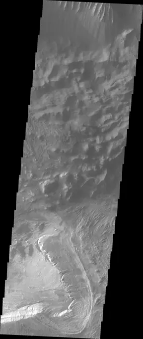
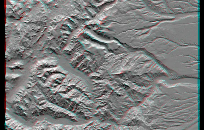
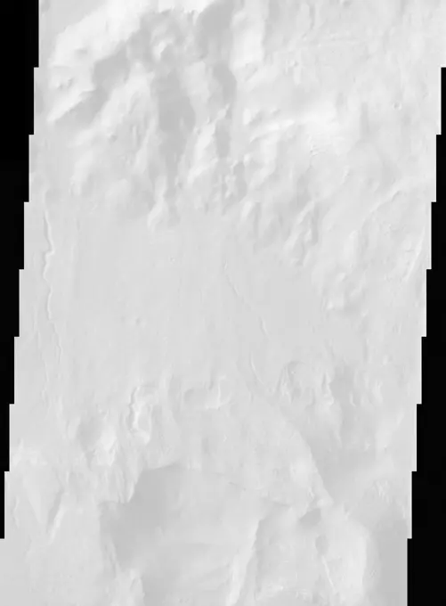
Fine ArtVintageFootageSubscriptionBoardsFree ResearchPricing
  • Fine Art
  • Vintage
  • Footage
  • Subscription
  • Boards
  • Free Research
  • Pricing

Mars Surface Imaging

NASA's Mars Odyssey spacecraft captures detailed images of Martian terrain, showcasing rugged landscapes and geological features.

Candor Chasma's Rim
Candor Chasma's Rim
306 assets in this story
6145-44525763
This anaglyph, from the instrument onboard NASA's Shuttle Radar Topography Mission, shows an area south of San Martin de Los Andes, Argentina. 3D glasses are necessary to view this image.
6145-44576709
This image from NASA's Mars Odyssey shows Noctis Labyrinthus, a large valley system at the western end of the Valles Marineris canyon system notable for a pattern of intersecting valleys, which give it a maze-like appearance when viewed from above.
6145-44620706
'Drammensfjorden' Up Close
6145-44974780
This mosaic of nine images taken at a location called 'Darwin,' inside Gale Crater, were taken by NASA's Mars rover Curiosity and shows detailed texture in a conglomerate rock bearing small pebbles and sand-size particles.
6145-44504775
Jupiter Small Satellite Montage
6145-44585752
Perched on the northern rim of the enormous Hellas Basin, Terby Crater, imaged by NASA Mars Odyssey, is host to an impressive range of landforms. As is common for many Martian craters, Terby has been filled with layered material, presumably sediments.
PREVIOUS
of 4
NEXT
2401 S. Ervay, Suite 206
Dallas, Texas 75215
United States
Browse
CategoriesGalleriesFree Research
For Creators
License Your ContentSuperStock For StudentsFrame of Mind BlogContributor PortalNew Image SpotlightLicense AI Imagery
Resources
About UsLicensingTerms & ConditionsAPI AccessPrivacyPricing
Contact
+1 866 236 0087help@superstock.com Contact form
©2026 SuperStock. All Rights Reserved. -A
This site is protected by reCAPTCHA and Google Privacy Policy and Terms of Service apply.