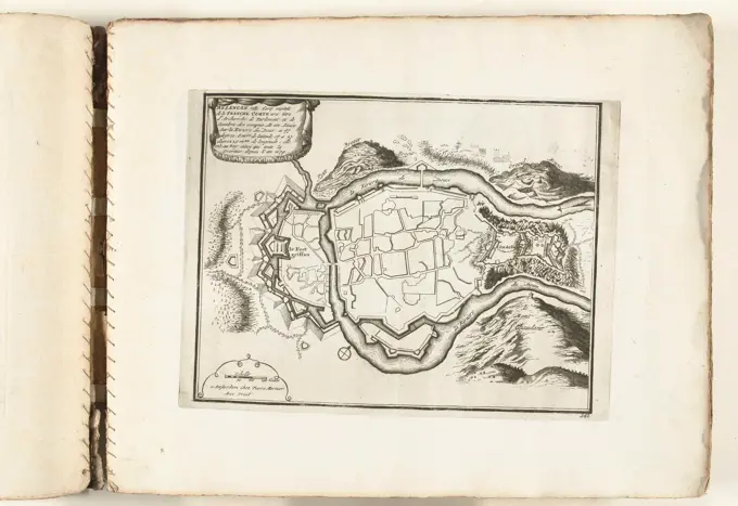
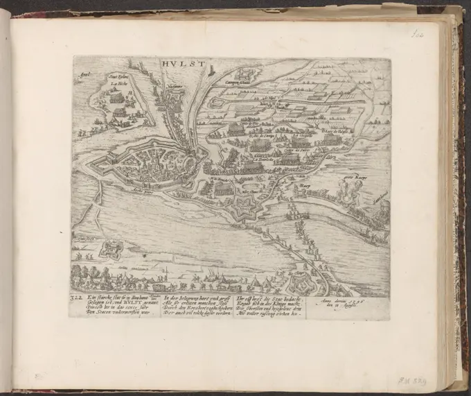
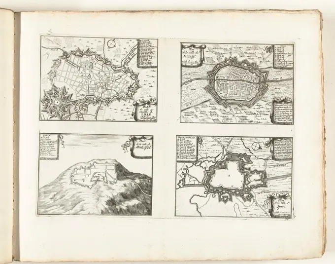
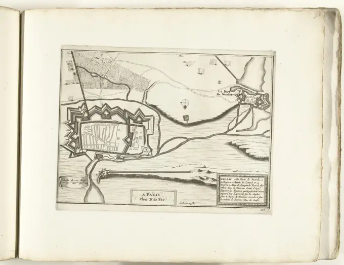
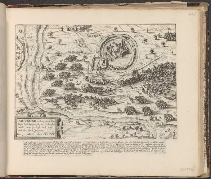
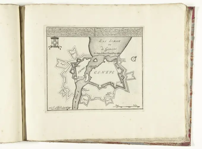
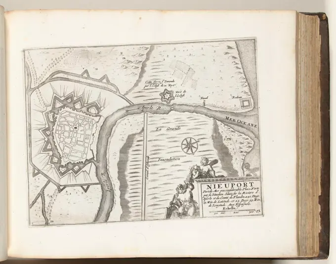
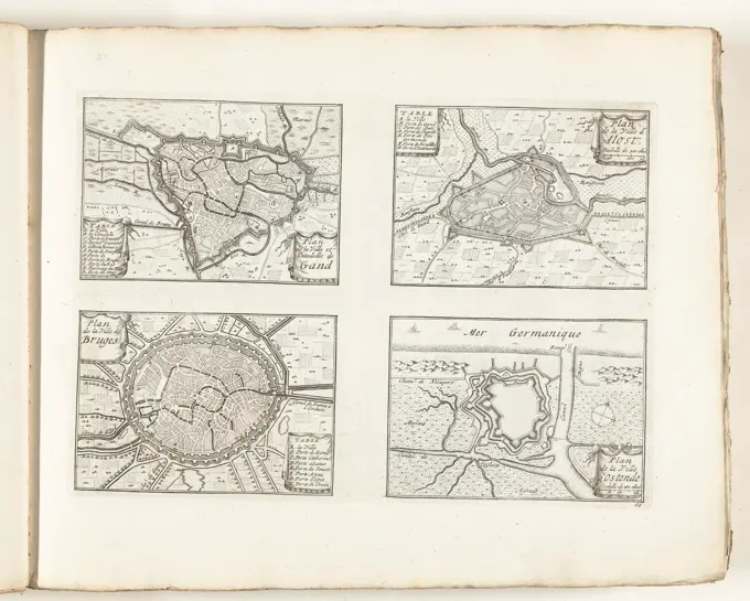
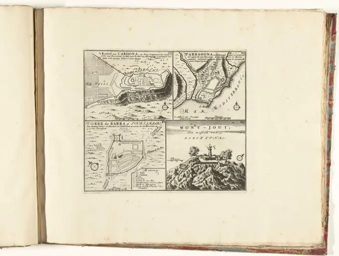
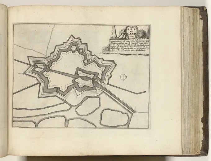
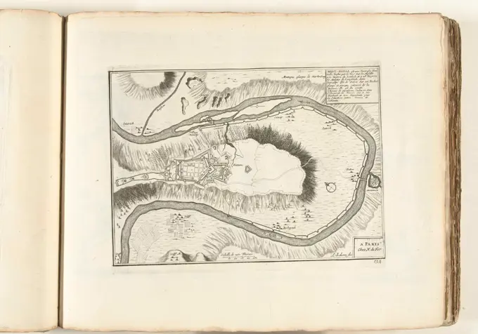
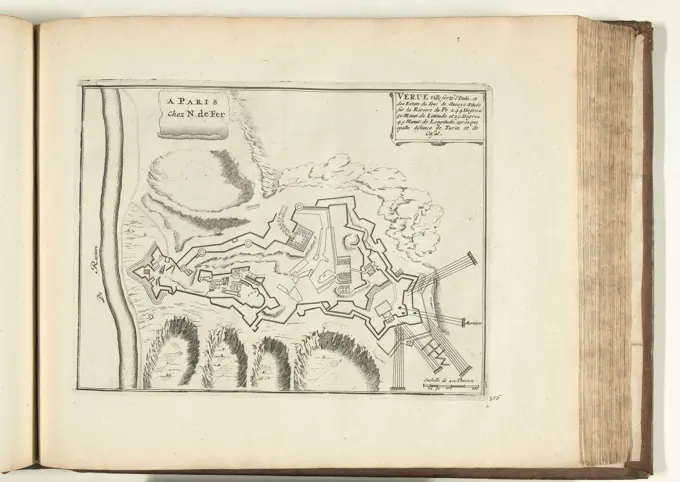
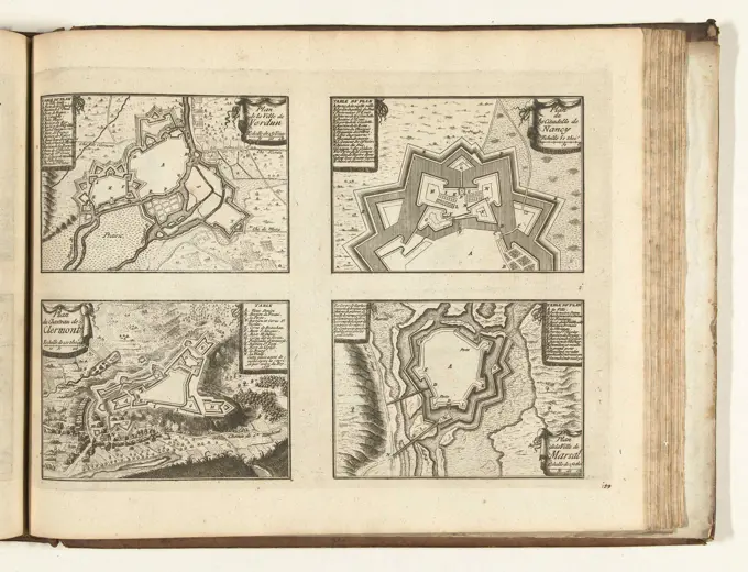
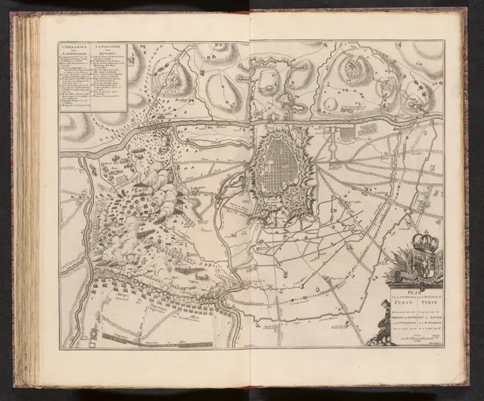
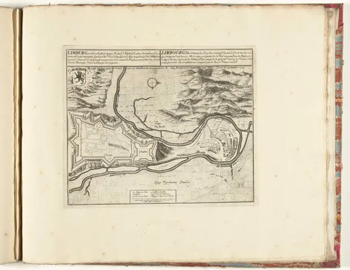
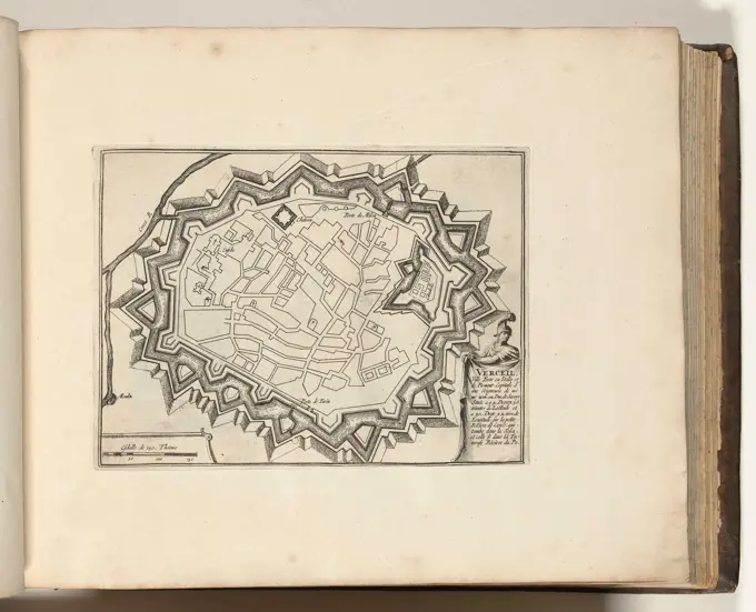
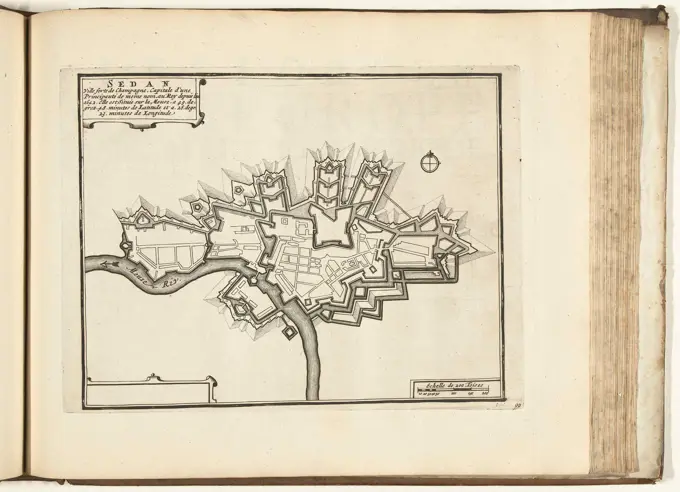
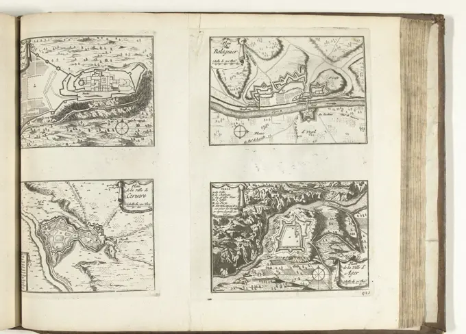
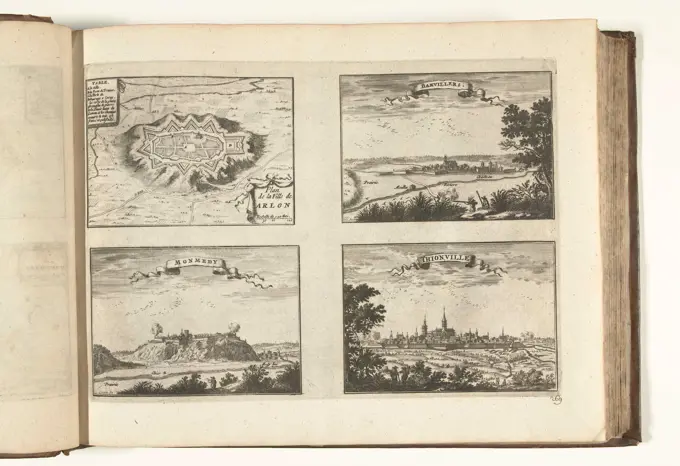
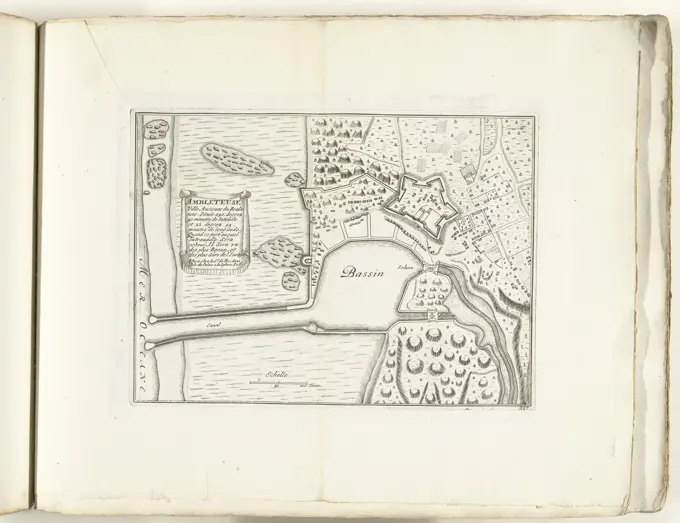
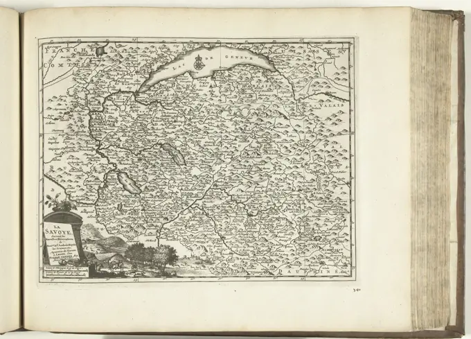
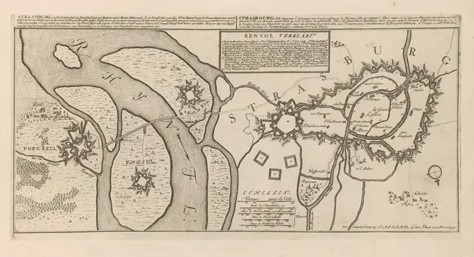
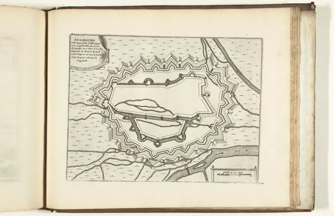
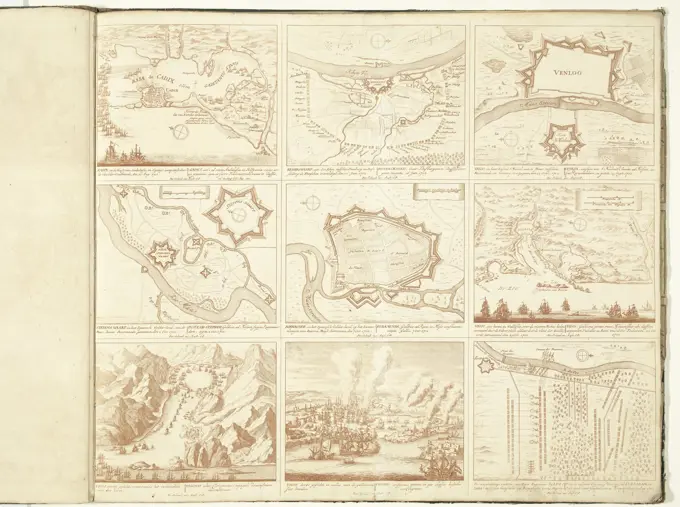
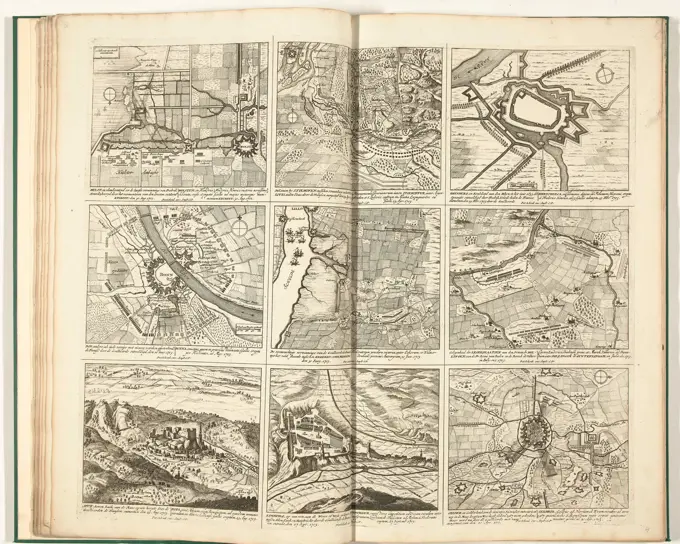
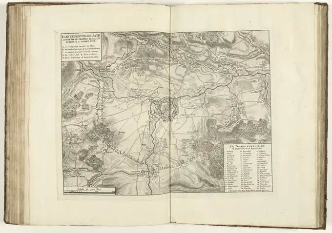
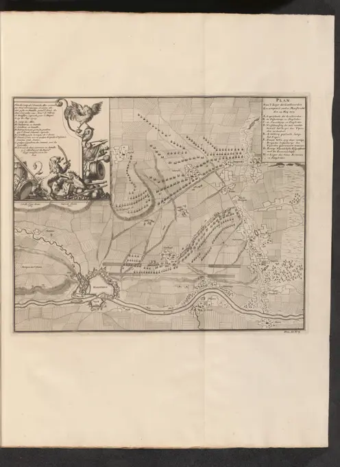
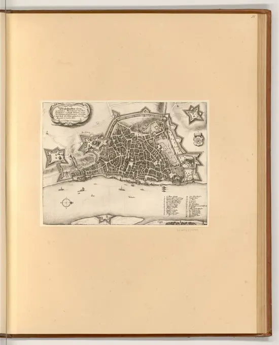
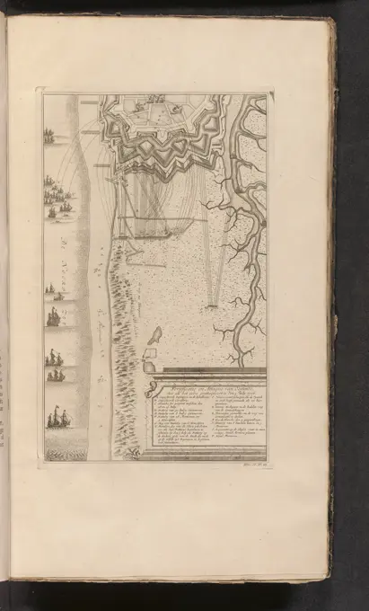
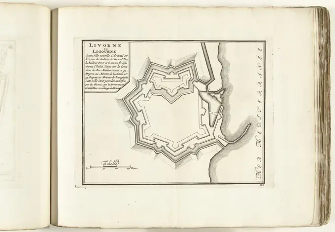
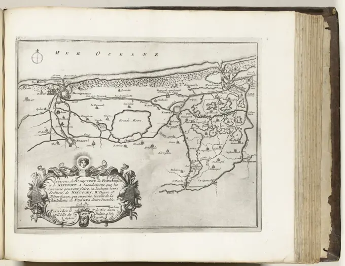
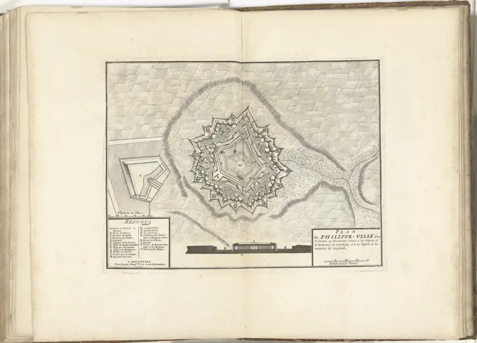
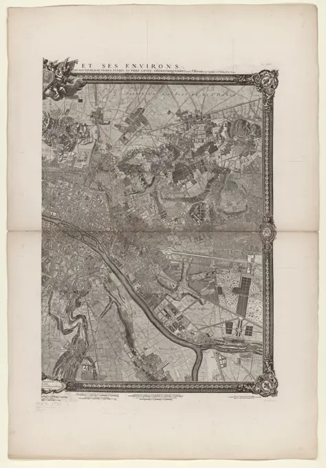
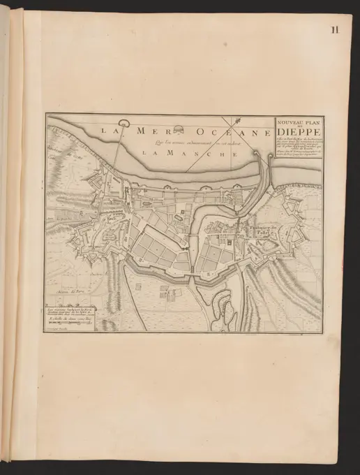
Military Fortification Maps

Prints illustrating tactical maps and city fortifications from the 17th and 18th centuries, detailing military layouts and historical sieges.

A large and particular plan of Shegnekto Bay, and the circumjacent country, with the forts and settlements of the French 'till dispossess'd by the English in June 1755. Relief shown by hachures. Depths shown by soundings. Oriented with north toward the upper right. Appears in Jefferys' General topography of North America and the West Indies. London: Printed for Robert Sayer, ... and Thomas Jefferys, 1768. Cataloging, conservation, and digitization made possible in part by The National Endowment for the Humanities: Exploring the human endeavor.... , Isthmus of Chignecto