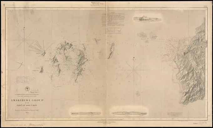
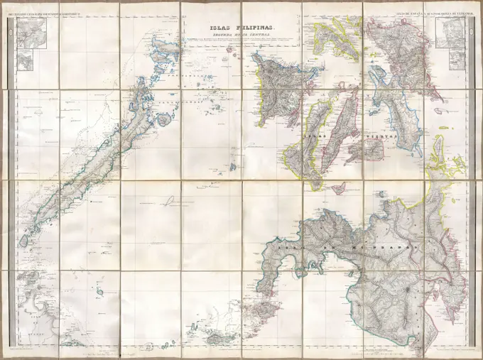
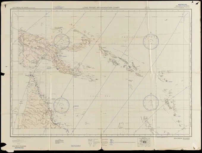
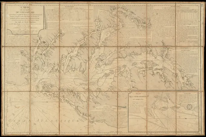
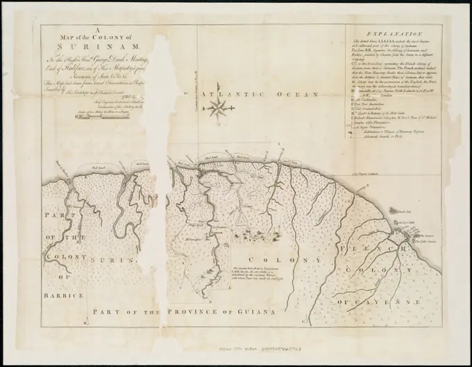
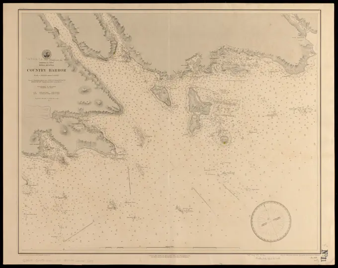
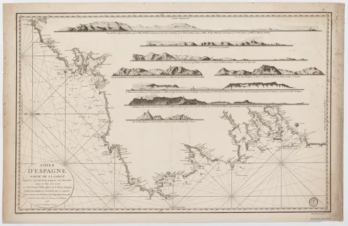
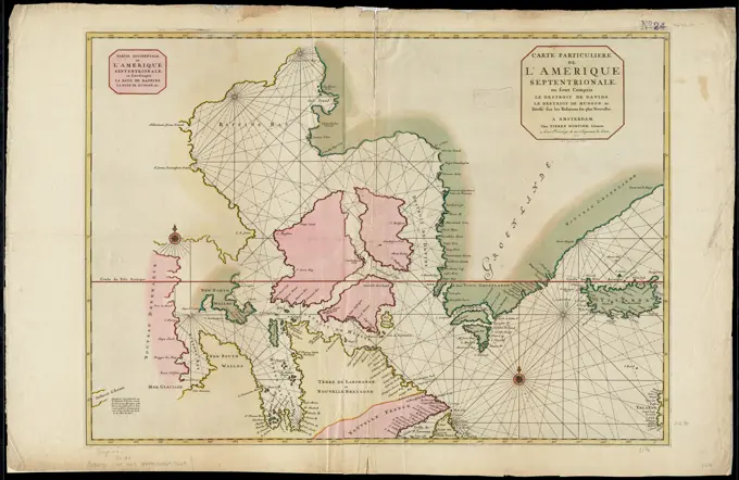
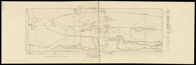
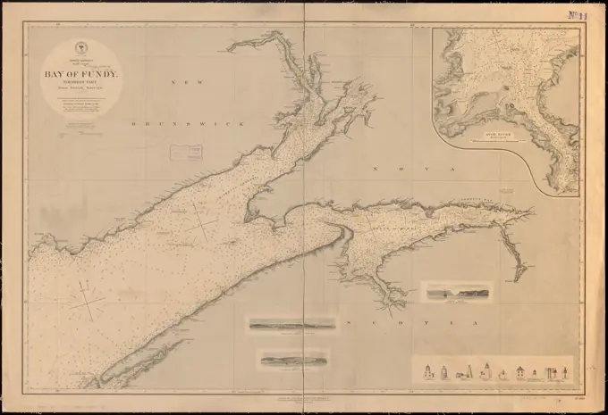
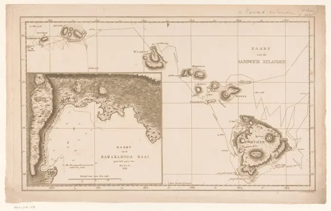
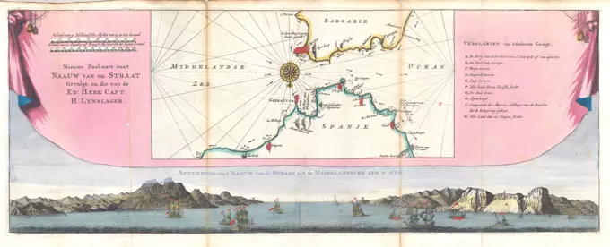
Nautical Maps and Charts

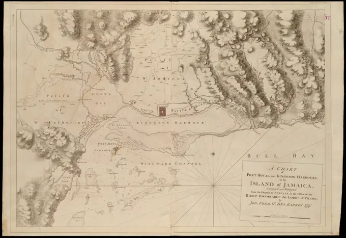
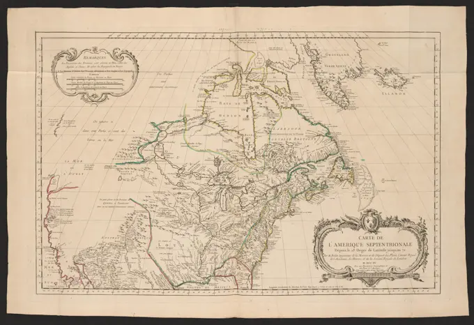
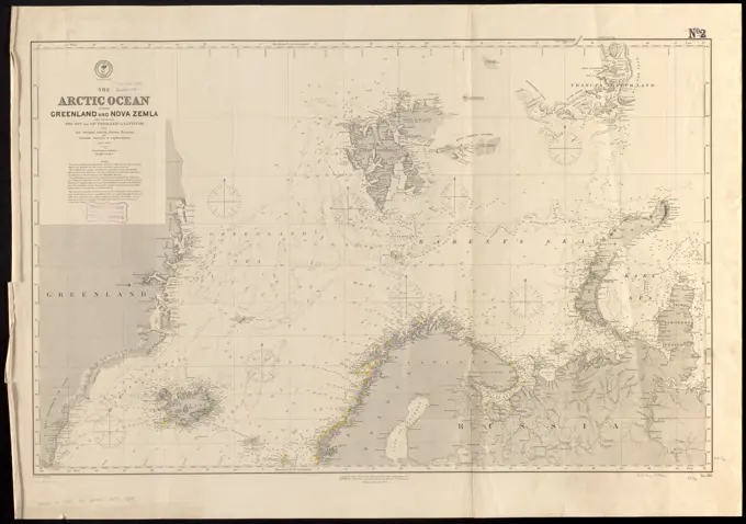
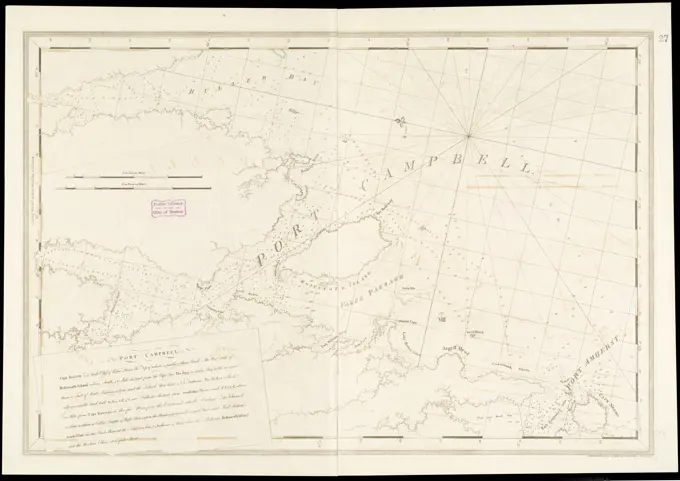
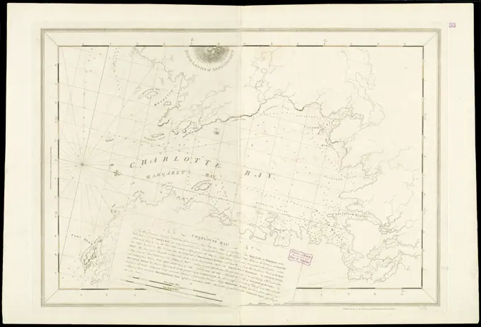
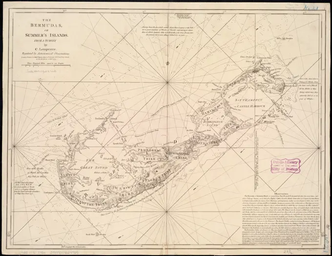
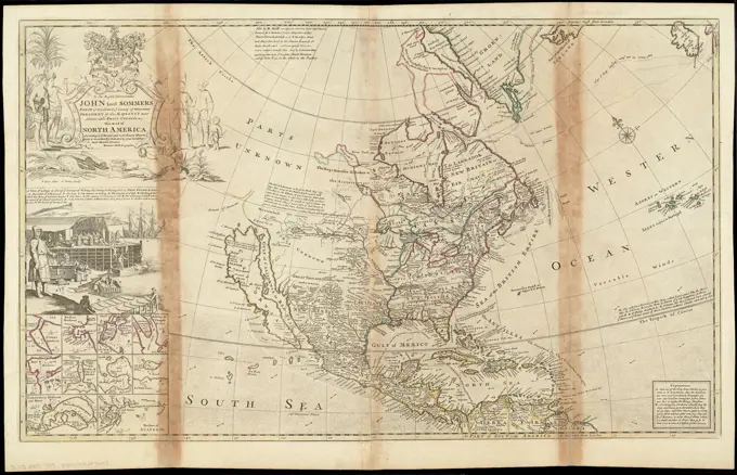
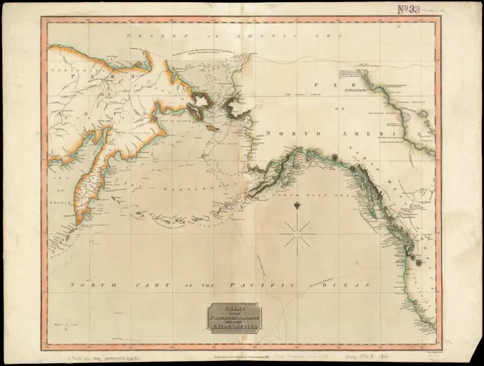
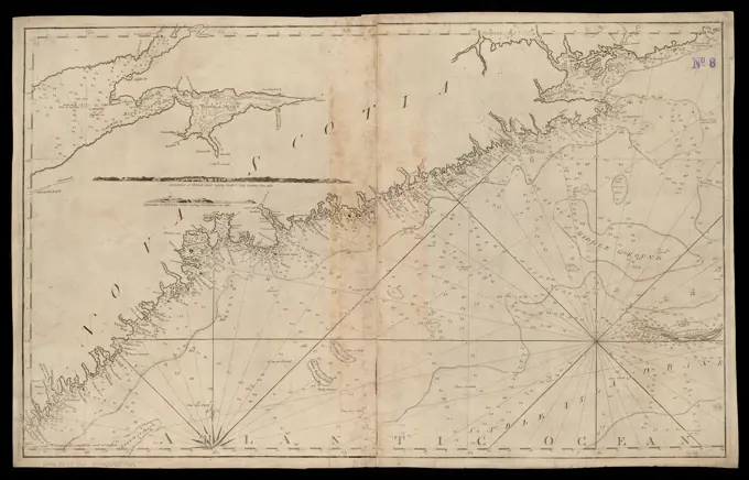
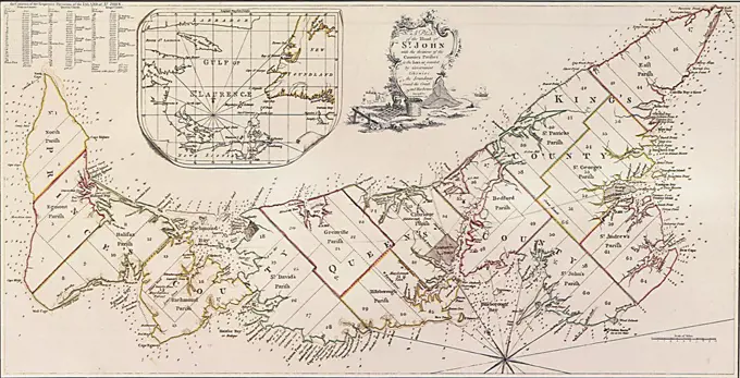
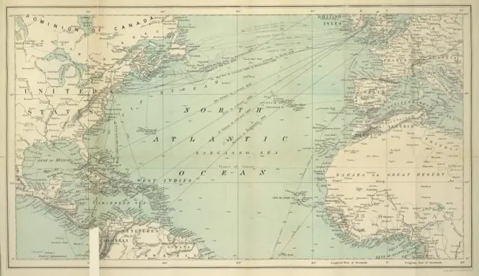
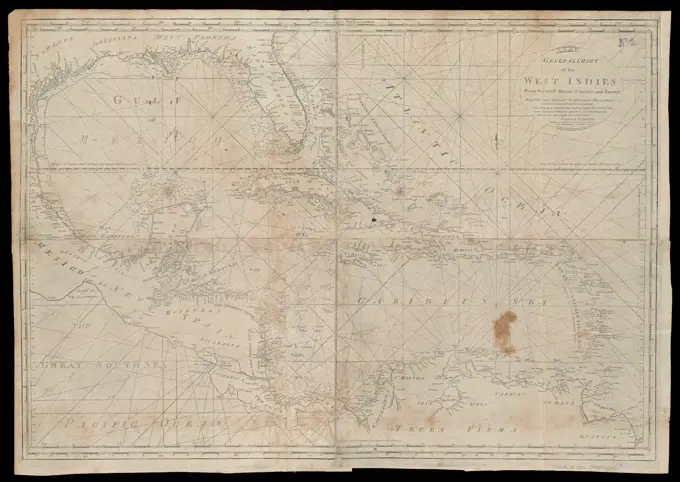
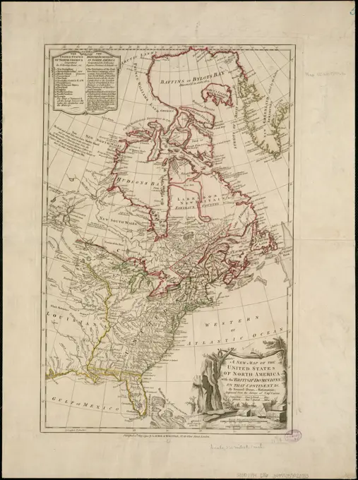
Historical nautical maps depicting harbors and coastal regions in North America and the Caribbean. Detailed navigation aids for maritime travel.

North America, Atlantic coast of the United States, Halifax to New York with southern part of Nova Scotia : compiled from the latest U.S. Coast and British Admiralty Surveys 1886. Relief shown by hachures and spot heights. Depths shown by soundings and isolines. Includes list of lights.... , Canada  , Nova Scotia  ,province  New England  ,area
North America, Atlantic coast of the United States, Halifax to New York with southern part of Nova Scotia : compiled from the latest U.S. Coast and British Admiralty Surveys 1886. Relief shown by hachures and spot heights. Depths shown by soundings and isolines. Includes list of lights.... , Canada , Nova Scotia ,province New England ,area