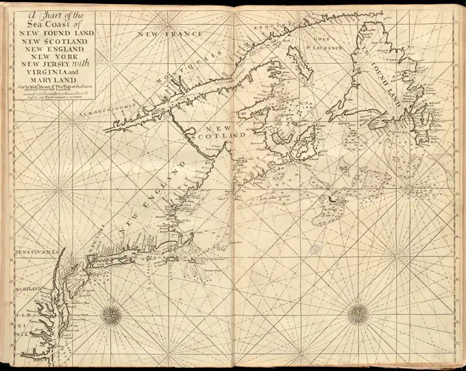
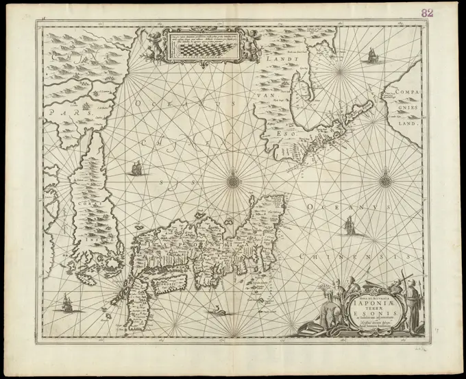
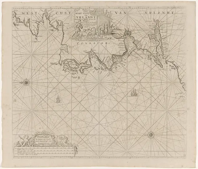
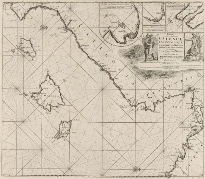
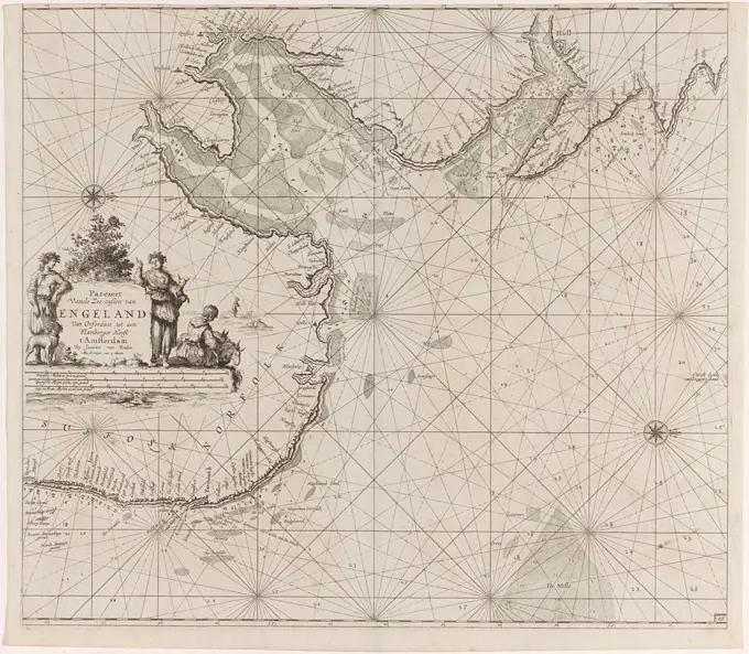
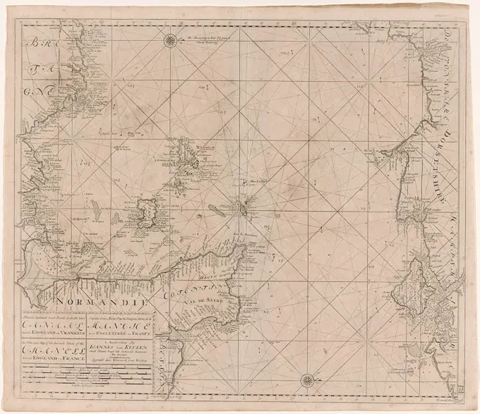
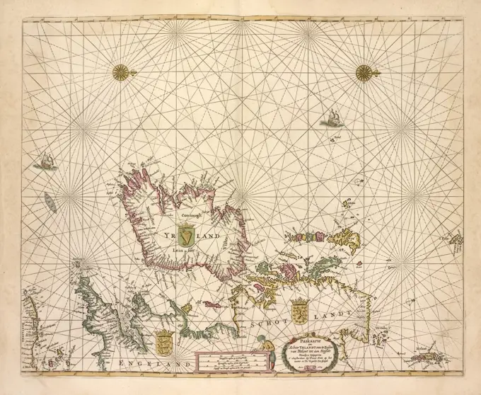
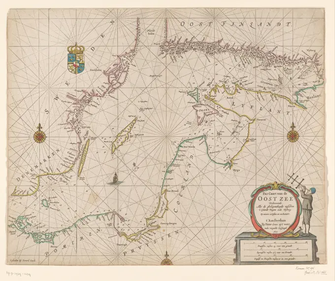
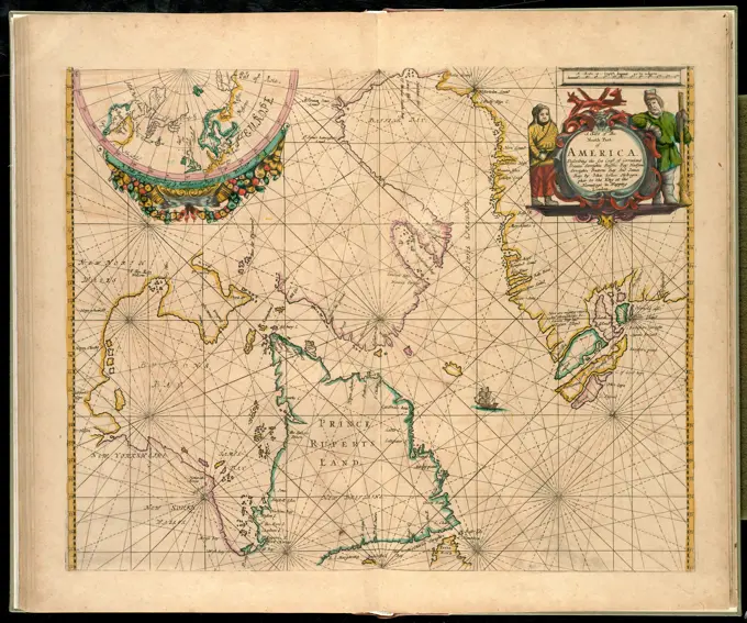
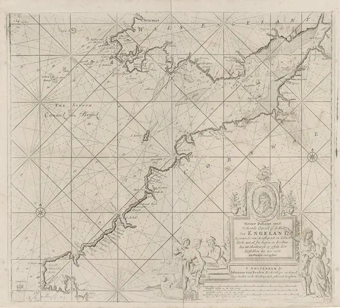
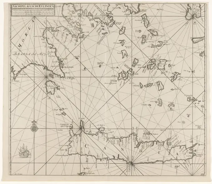
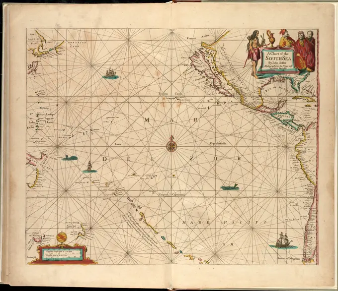
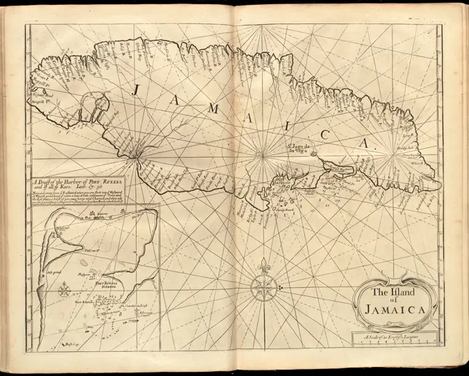
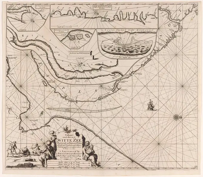
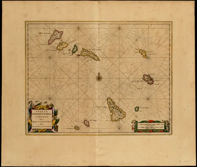
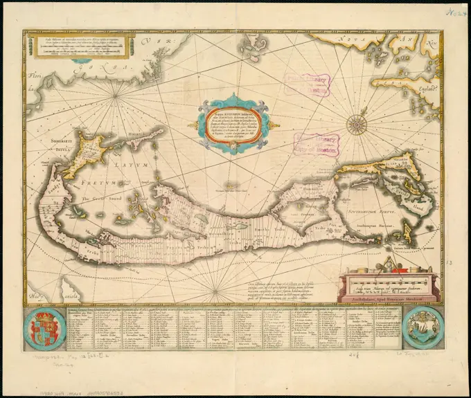
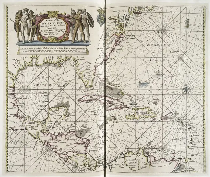
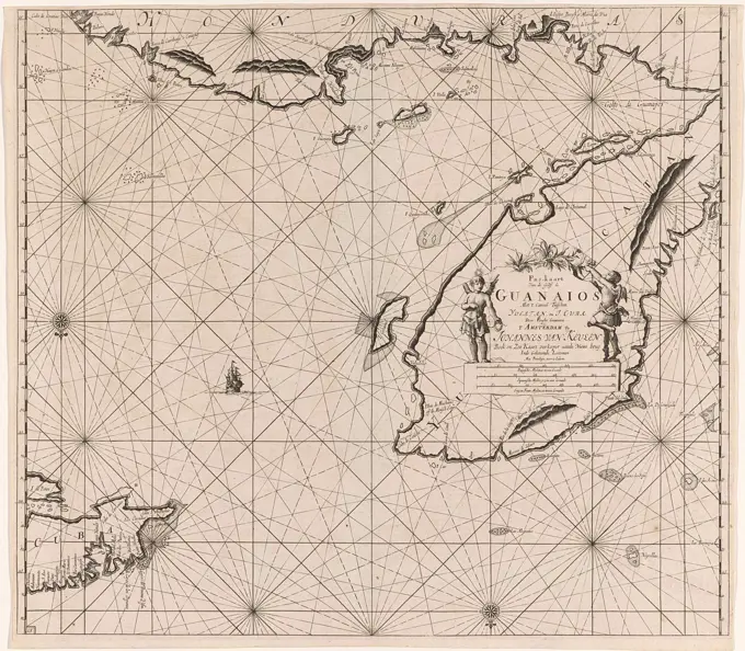
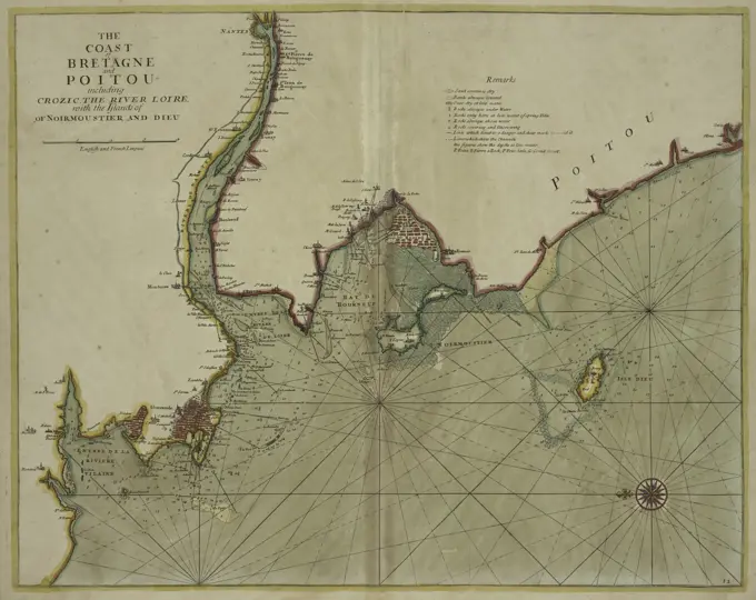
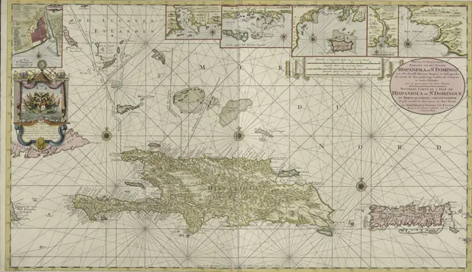
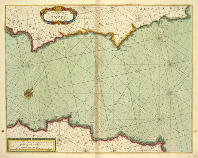
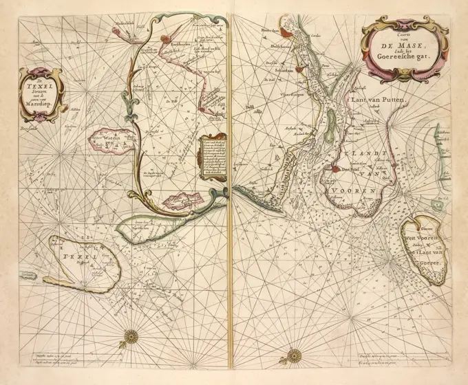
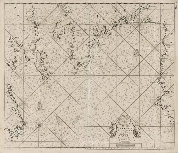
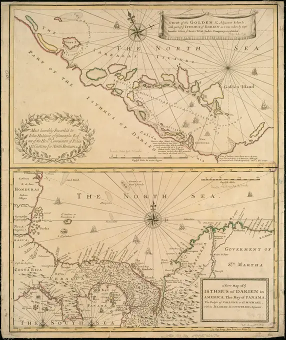
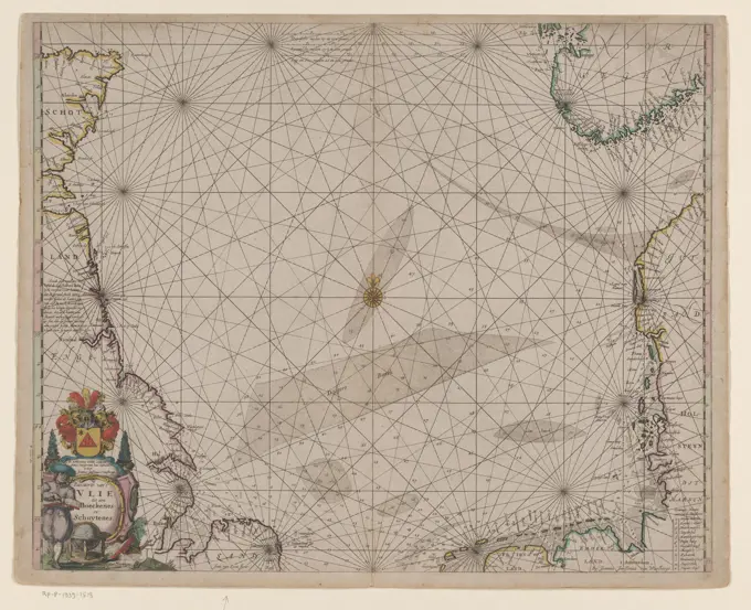
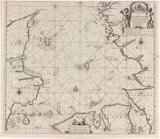
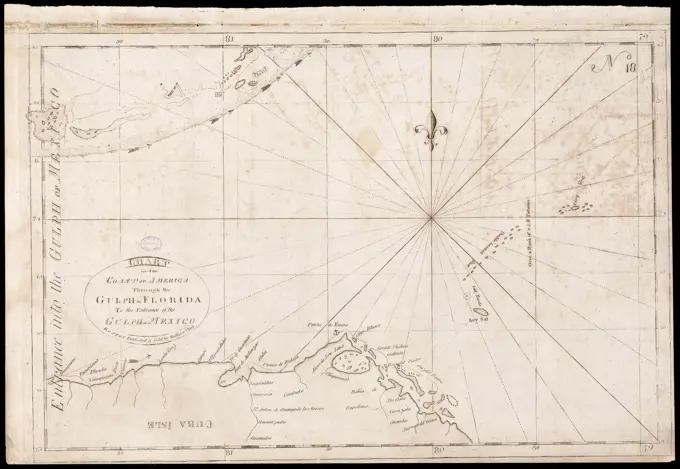
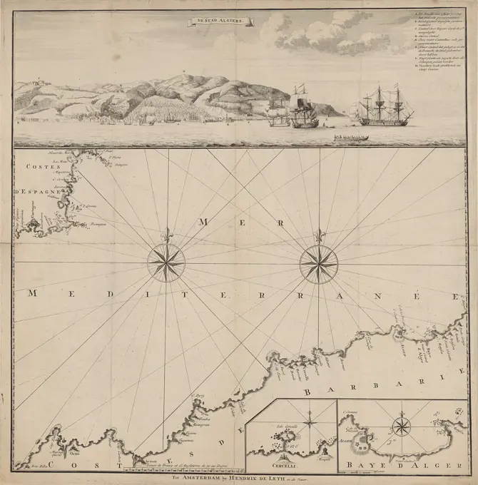
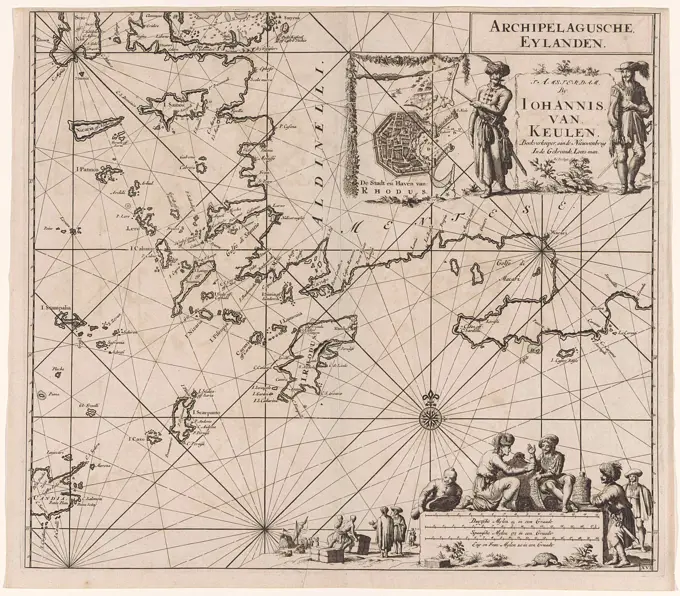
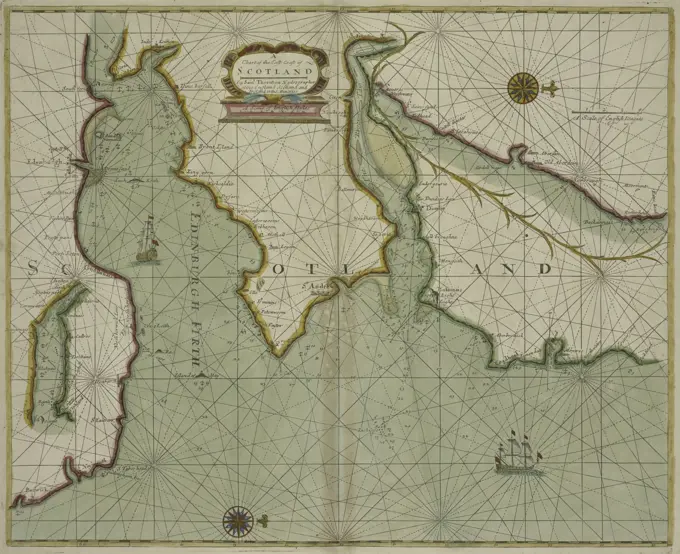
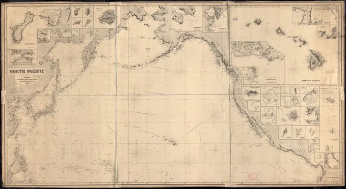
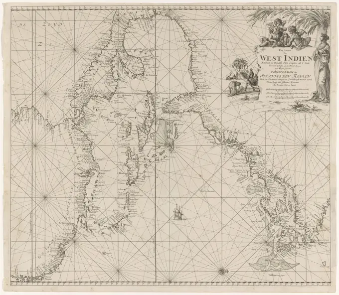
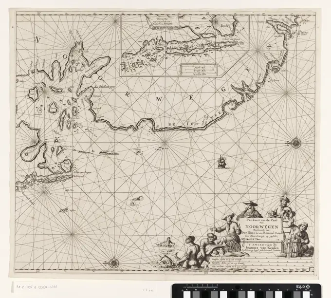
Nautical Maps and Charts
Collection of historical nautical maps detailing coastlines and sea routes, featuring elaborate illustrations and cartographic style from early exploration.
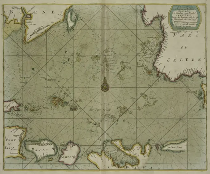
Collection of historical nautical maps detailing coastlines and sea routes, featuring elaborate illustrations and cartographic style from early exploration.