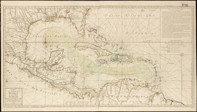
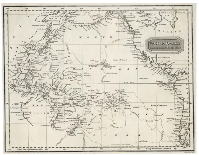
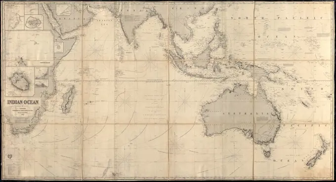
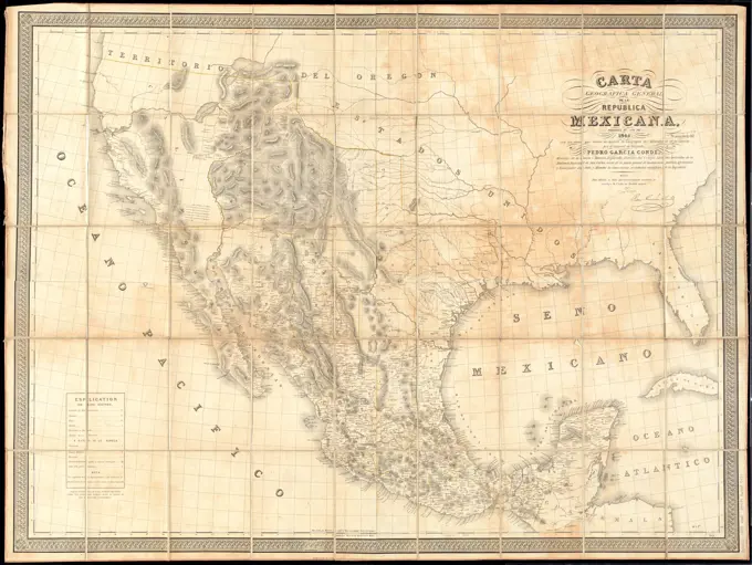
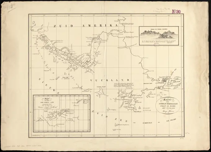
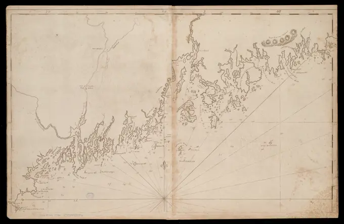
Pacific Ocean Exploration Charts

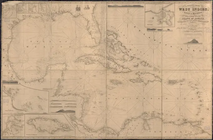
Maps showcasing early 18th-century discoveries in the Pacific Ocean, including routes of notable explorers and detailing coastal features.

A general chart of the West Indies, including the Gulf of Mexico, with an enlarged plan of the island of Jamaica, also particular plans of the principal harbours & roadsteads , Mexico, Gulf of, Maps, West Indies, Maps, Nautical charts, West Indies, Nautical charts, Mexico, Gulf of Norman B. Leventhal Map Center Collection